![]()


This walk: 2017-7-13. Rees-Jeffreys car park, Longford Leat, 3-impost clapper bridge, explosives store, Merrivale Quarry, sett makers' bankers, Great Staple Tor, rock steeples, rock piles.
Walk details below - Information about the route etc.
Previous walks in this area: 20th January 2010, 29th February 2012, 11th June 2014 and 7th August 2014
Google Satellite map + GPS track of the walk

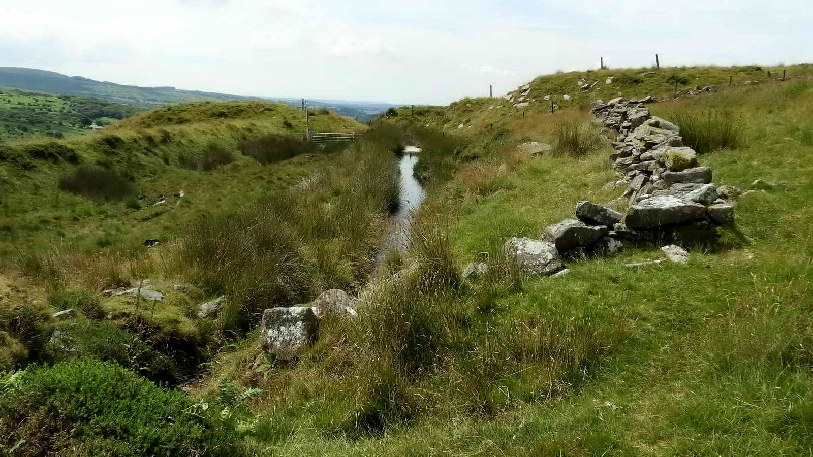
Three-impost clapper bridge, SX 54305 75086, on Longford Leat. Source: Eric Hemery (1983), High Dartmoor, Robert Hale, London, pages 1011, 1015, 1041 & 1042 .....

An end-on view looking west along the dry leat channel .....
Reproduced with the permission of the
National Library of Scotland
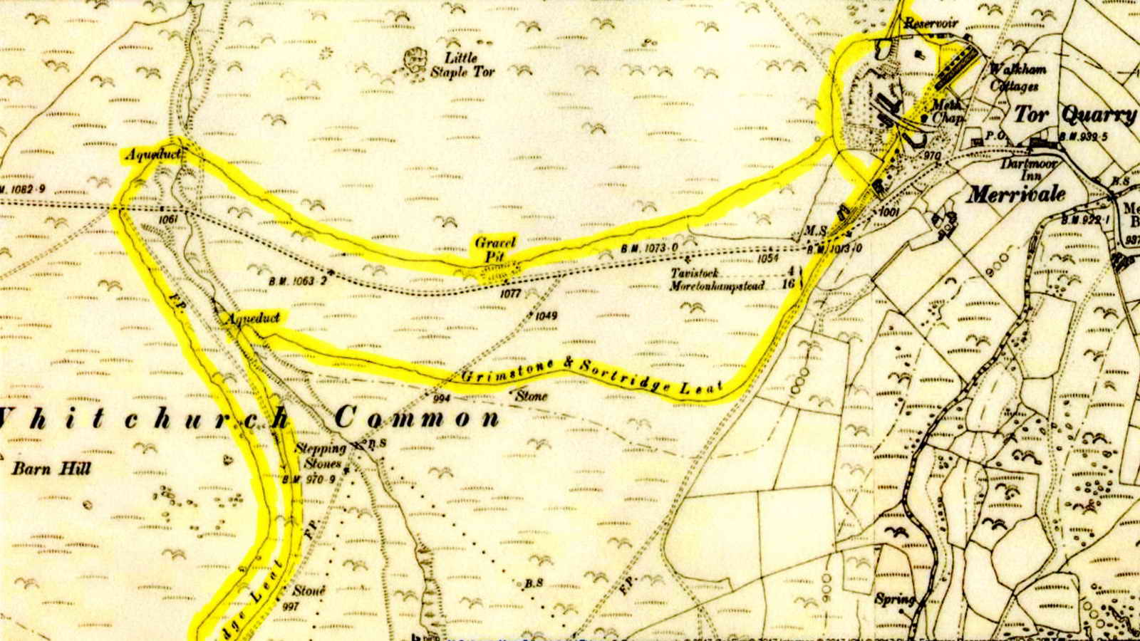
Visual aid from the walk, showing the parallel cuts of the dry Longford Leat (to the north) and the running Grimstone & Sortridge Leat (to the south). See the free DPA Short Walk on Tues. 25th July.

Overlooking the Explosives Stote at Merrivale Quarry, SX 54530 75211 ..... the left edge of the photograph shows the small car park below the Merrivale stone rows .....

The Explosives Store.

Overlooking Merrivale Quarry (formerly Torr Quarry, as on the old map abbove) .....

The tin-covered Methodist Chapel .....

Zoomed view .....

Assorted buildings .....
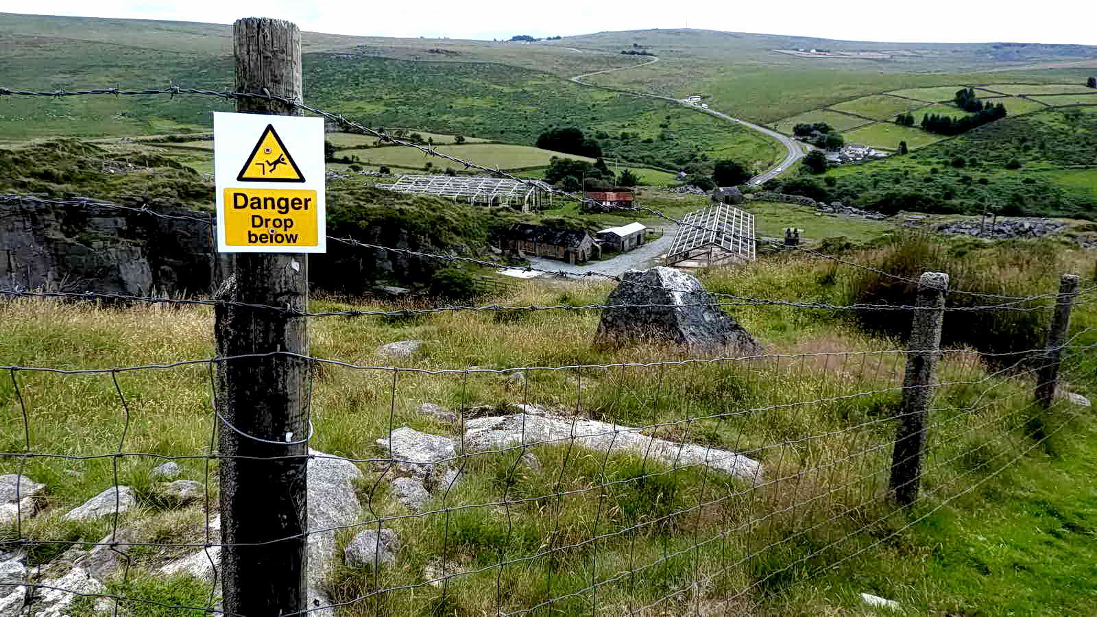
"Danger of Drop Belowe"!
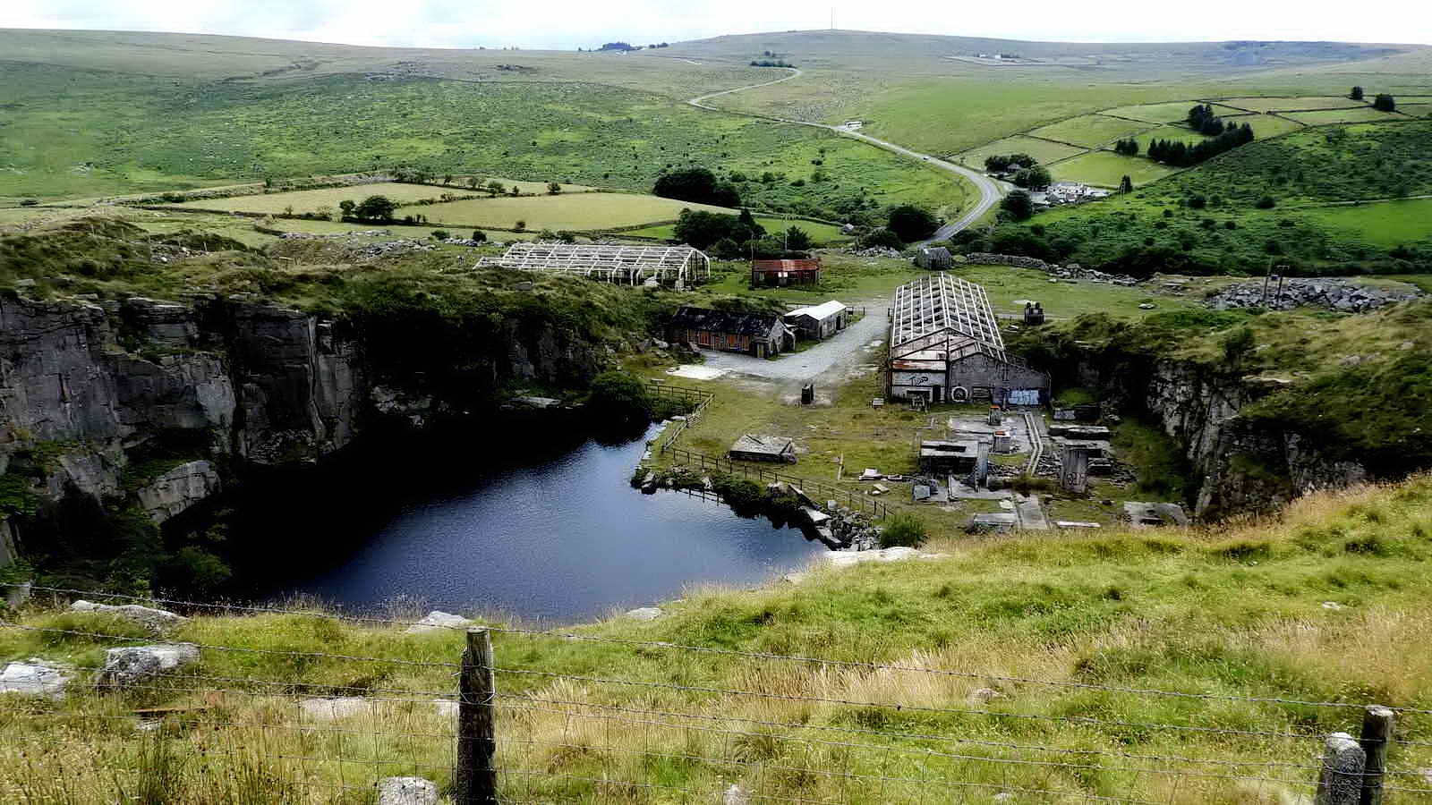
Another view .....
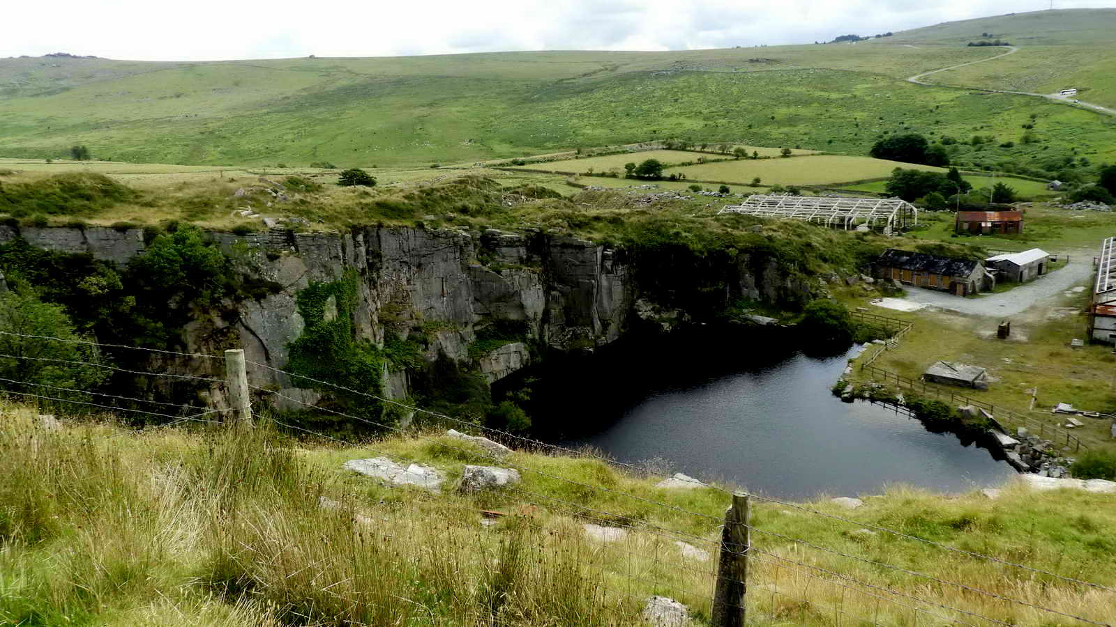
The Quarry .....

From Wikipedia - black slug: the black slug, also known as black arion, European black slug, or large black slug, scientific name Arion ater, is a species of large land slug, a terrestrial slug in the family Arionidae, the roundback slugs, this was about 10 cm in length .....

We argued about this from afar! It looks like an old engine block.
The Grimstone & Sortridge Leat enters the rear of the quarry property.
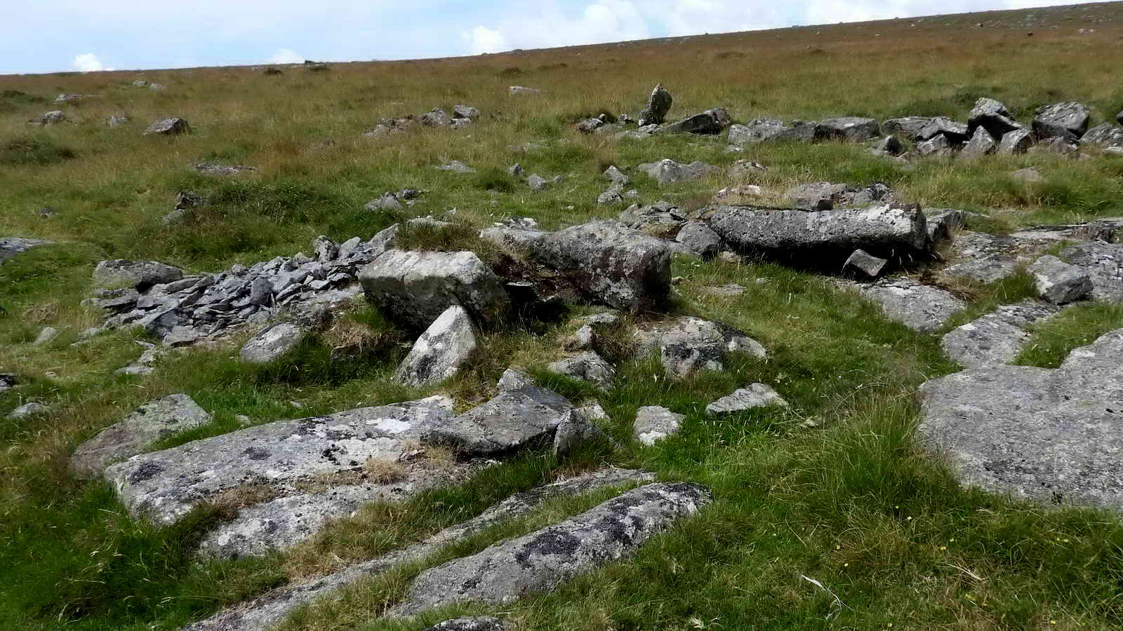
Two sett makers' bankers just below the sry leat, at SX 54576 75594 .....

Another view, showing the old chippings .....

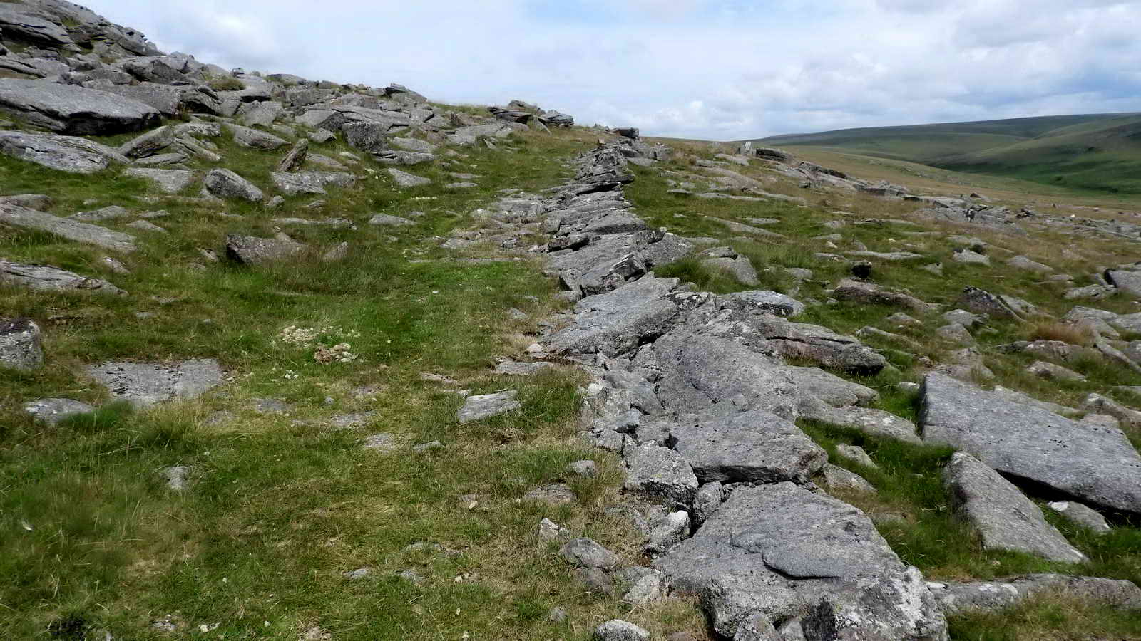
Looking northwards along the dry leat channel.
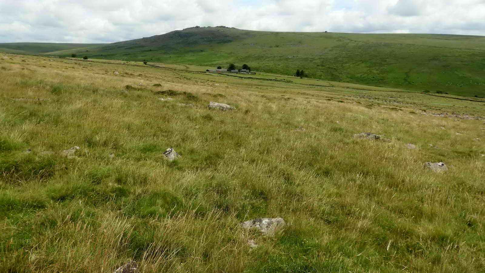
View to Shillapark Farm .....

Zoomed view.

Looking up at Great Staple Tor from the east - an very untypical view .....
The built-up roadway ..... looking north .....

Looking south .....
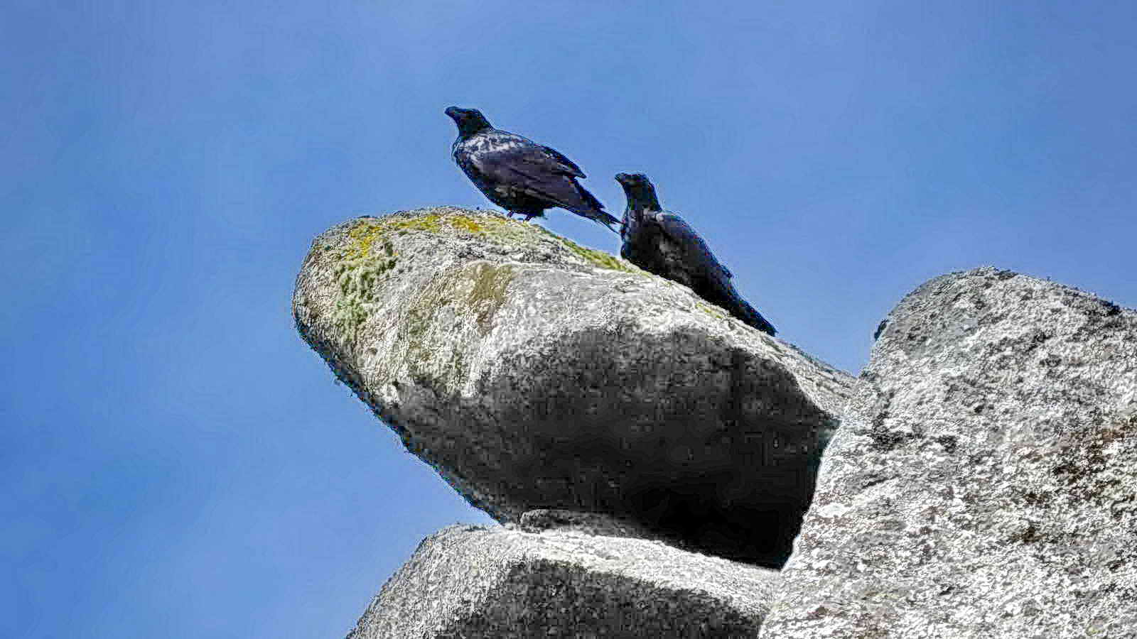
A pair of ravens.

A good example of a sett makers' banker, at SX 54245 76011 .....

Closer view.

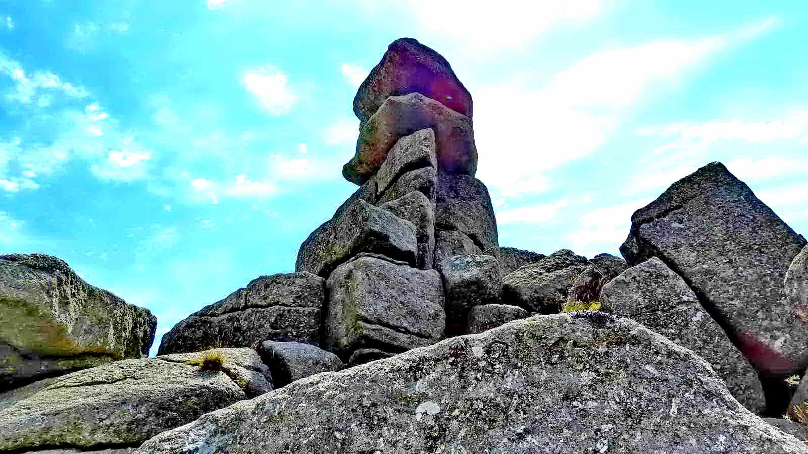
The rocl steeples og Great Staple Tor, seen after approaching directly up from the sett makers' banker in the previous photograph. Who suggested that route?!

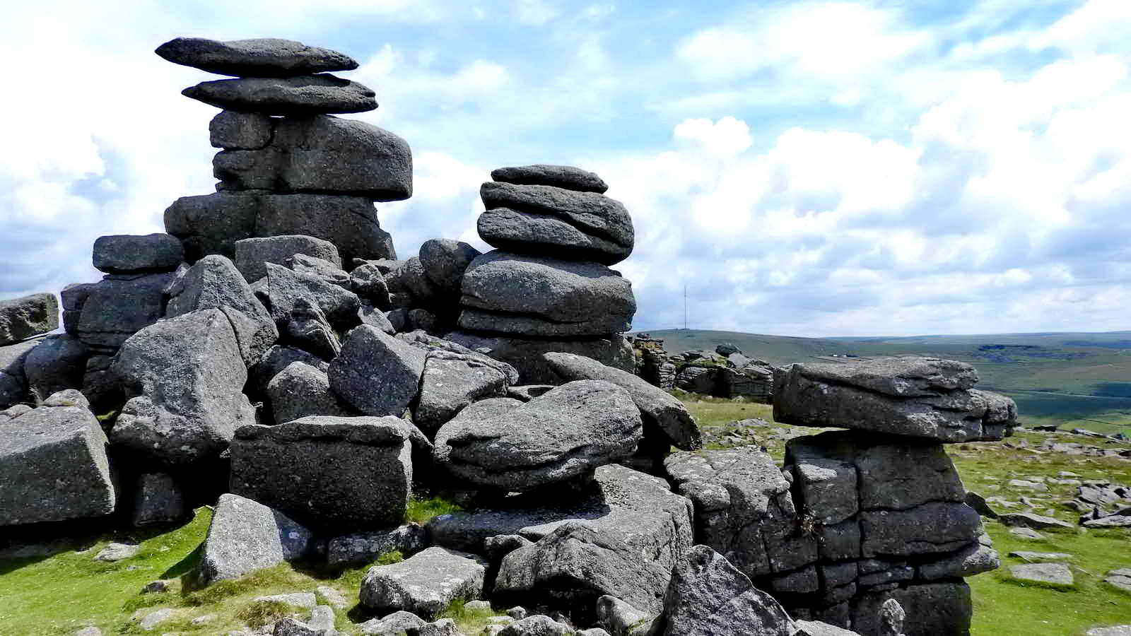
Rock pile .....

View north towards Vur Tor (Fur Tor) .....
Rock piles .....

Rock piles .....

Rock pile .....
Rock pile .....
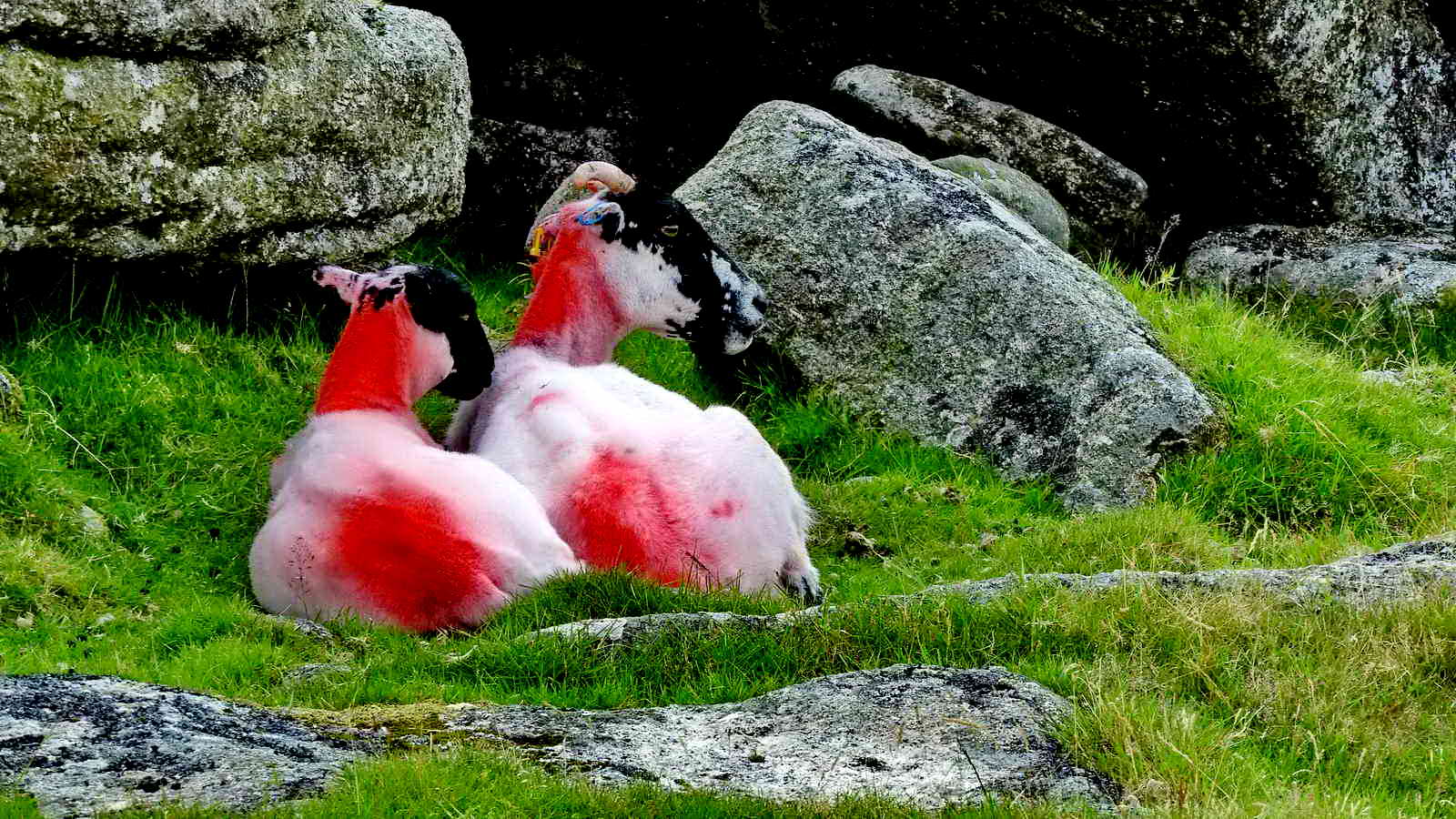
Two lost dheep.

Looking back at Great Staple Tor .....

Zoomed view to the left steeple.

Rock pan and its drainage slot on Little Staple Tor.
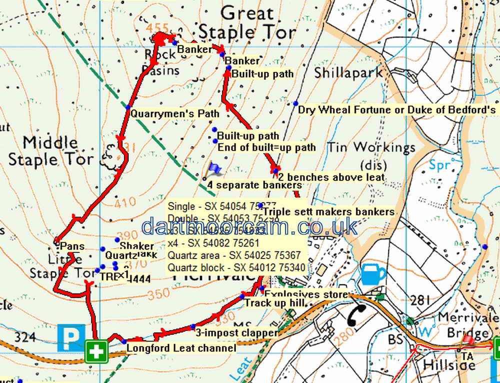
MAP: Red = GPS satellite track of the walk.
� Crown copyright 2016 Ordnance
Survey
Licence number 100047373
Also, Copyright � 2005, Memory-Map Europe, with permission.
This walk was easily reached via the road from Princetown to Tavistock road or the Tavistock-Moretonhampstead road (B3357). Parking was at the P symbol on the map with the green cross, just west of Merrivale.
Statistics
Distance - 3.73 km / 2.32 miles
All photographs on this web site are copyright © Keith Ryan.
All rights reserved - please email for permissions