![]()


This walk: 2014-6-11. Rees Jeffreys car park, plaque, Little Mis Tor, crottle (lichen), frog, Middle Staple Tor, Quarrymans' Path, Great Staple Tor, Roos Tor, logan stone, flag pole, Fur Tor, Great Mis Tor, Duke of Bedford marker stones, triangulation pillar, sett makers' bankers, Merrivale Quarry, Duke's Folly, explosives store, milestone, cotton grass, Grimstone & Sortridge Leat.
Walk details below - Information about the route etc.
Link to Google Satellite view of the area - including the GPS track of the walk (compare with the Ordnance Survey map plus track below)
Previous walks in this area: 20th January 2010, 3rd November 2010 & 29th Feb. 2012

Car park scene.

Rees Jeffreys inscription on a car park rock ..... seemingly hammered flat .....
Copied from 3rd November 2010 .....

Plaque in the car park mentioning the Rees Jeffreys Road Fund - this links to their web site! See also William Rees Jeffreys, the man, who was responsible for roads being classified as "A" & "B" roads.
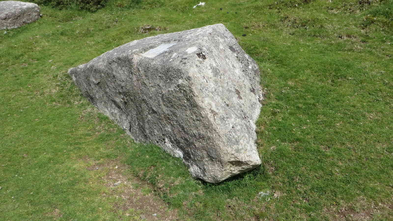
The rock that bears the inscription.

Little Staple Tor, SX 5386 7536, elevation 380 metres (1246 feet) .....

Examining the top surface of the tor .....

It has a rock pan .....

Sherpa Tenzing would be proud?

Crottle lichen, Parmelia saxatilis, growing on a rock.

Common frog, going "Leggit, leggit"!
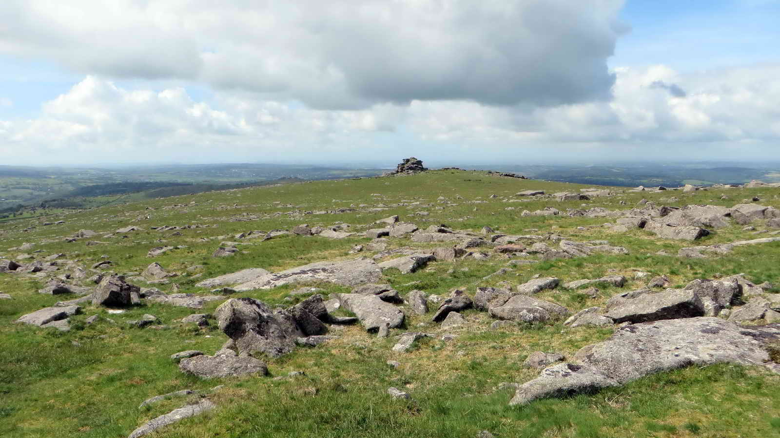
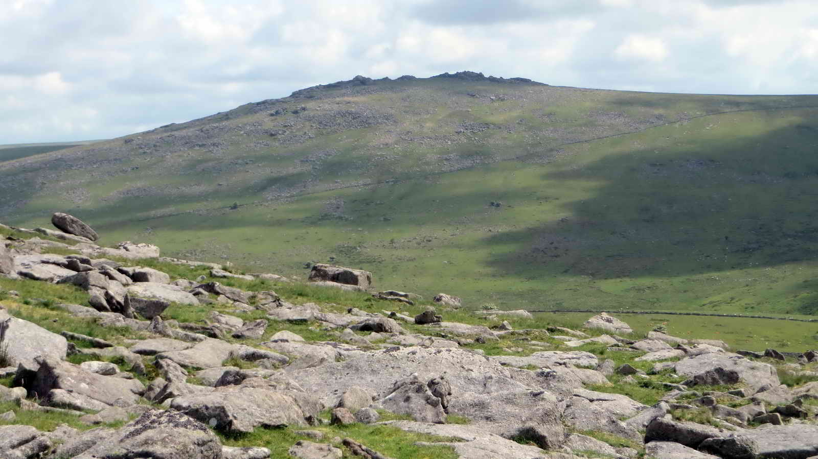
Looking towards Middle Staple Tor, SX 5403 7564, elevation 431 metres (1414 feet) .....

Closer view.
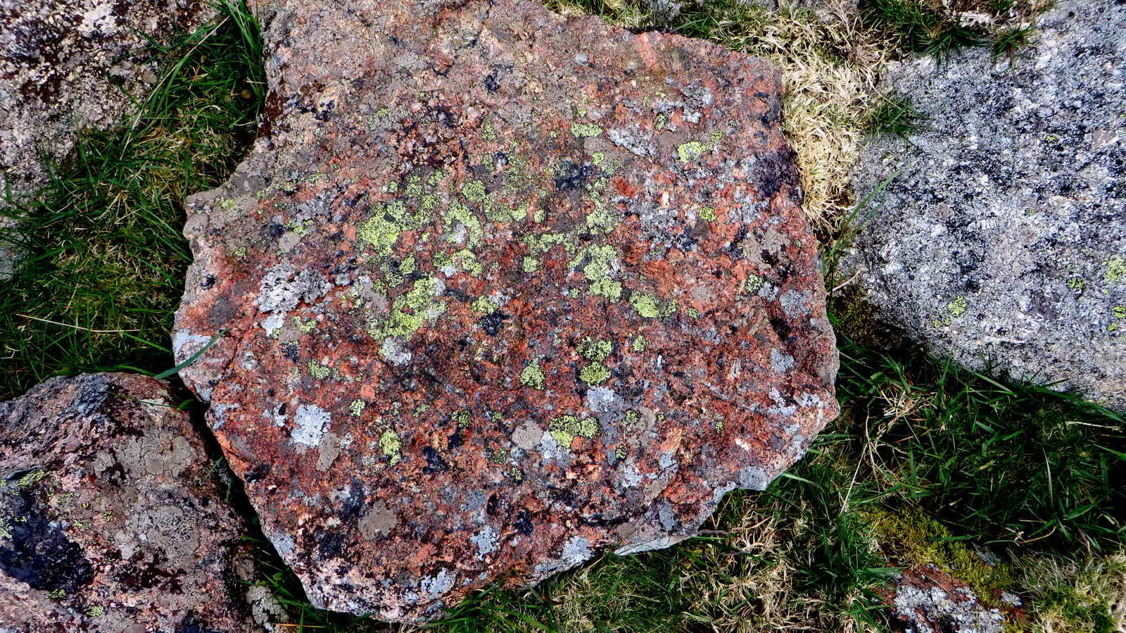
Colourful rock seen on the way with lichen.
Still closer.
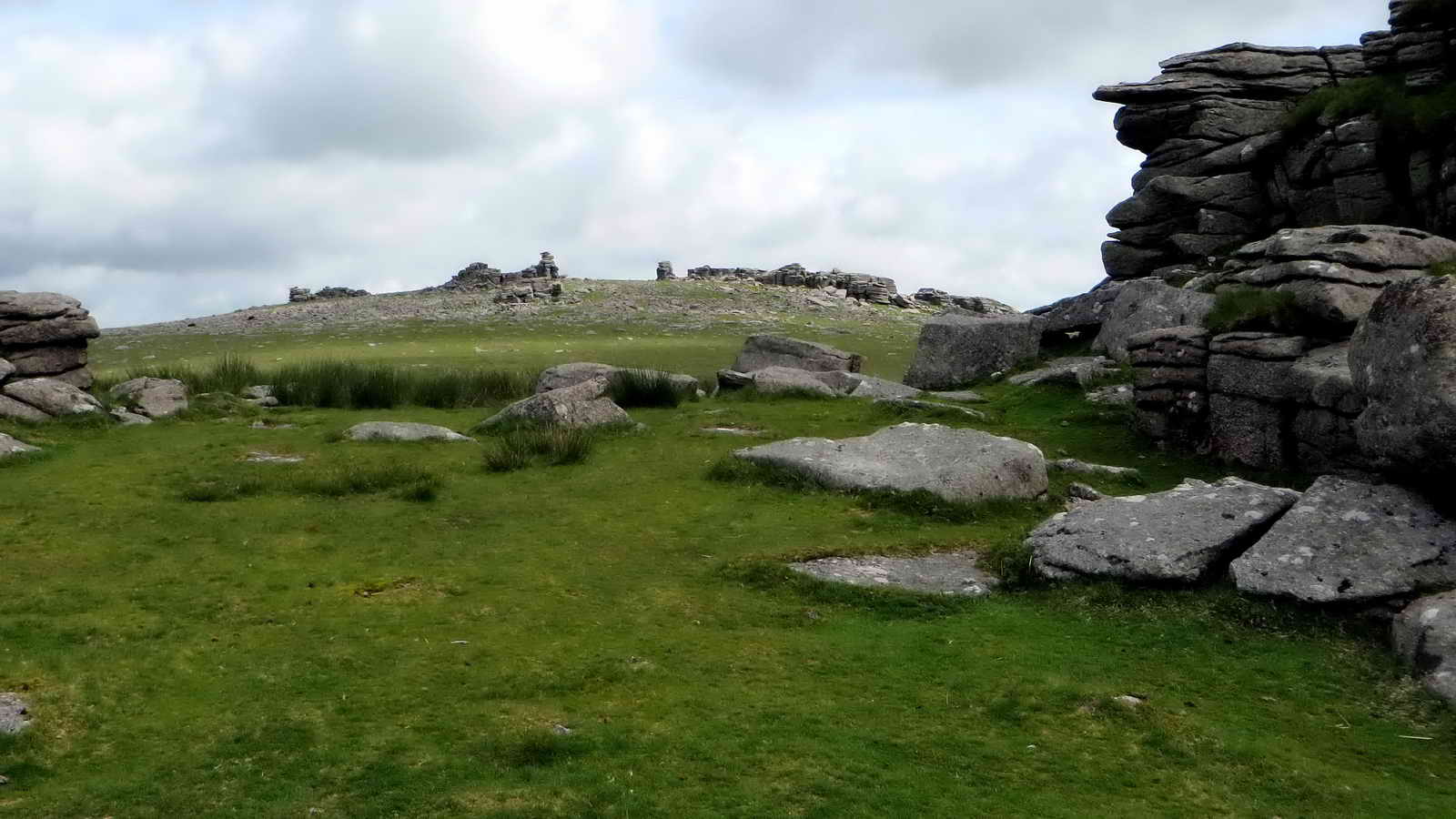
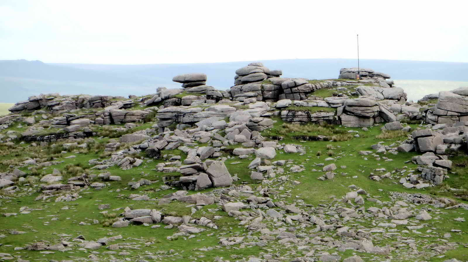
View from Middle Staple Tor to Great Staple Tor, SX 542 760, elevation 455 metres (1492 feet) .....

Zoomed view.
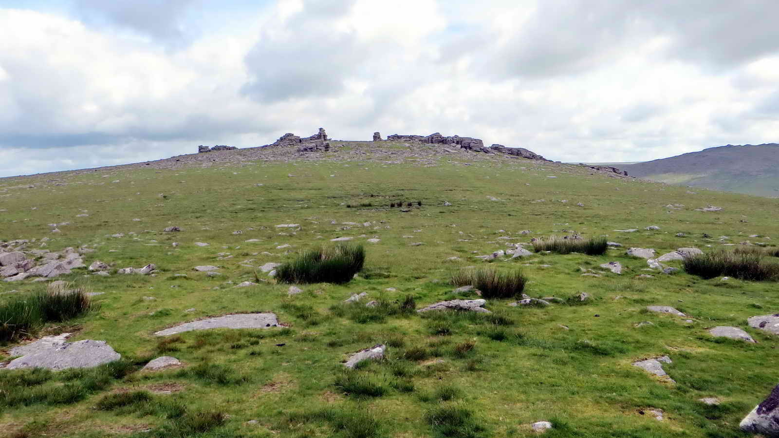
Another view of Great Staple Tor.

Looking along the Quarrymen's Path, at SX 54101 75778, which we crossed: it is marked on the map as a bridle path. The path ran from Mary Tavy to these tors, a distance of four miles each way, with a climb of 900 feet. .

Looking back at Middle Staple Tor.
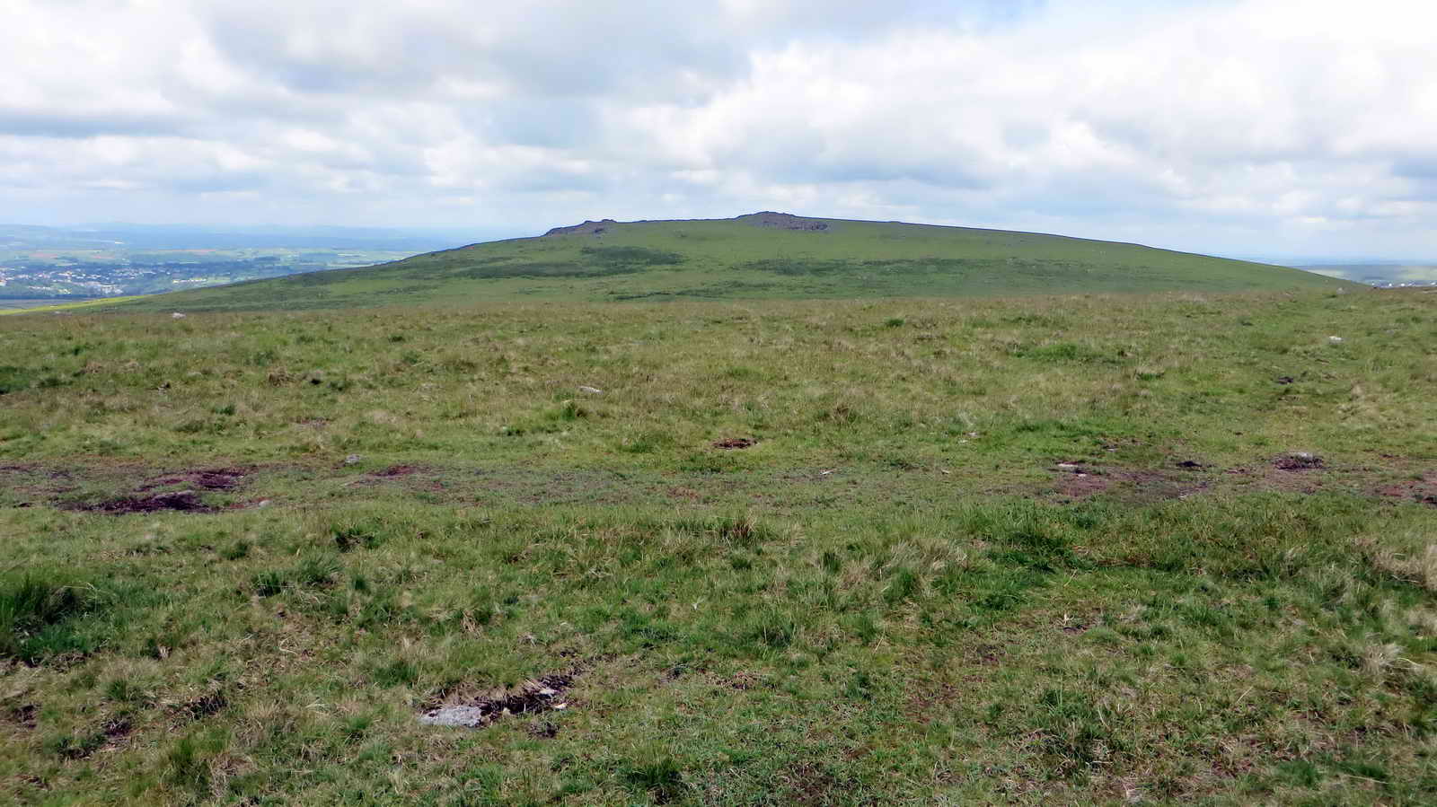
Looking towards Cox Tor, SX 530 761, elevation 442 metres (1450 feet) .....
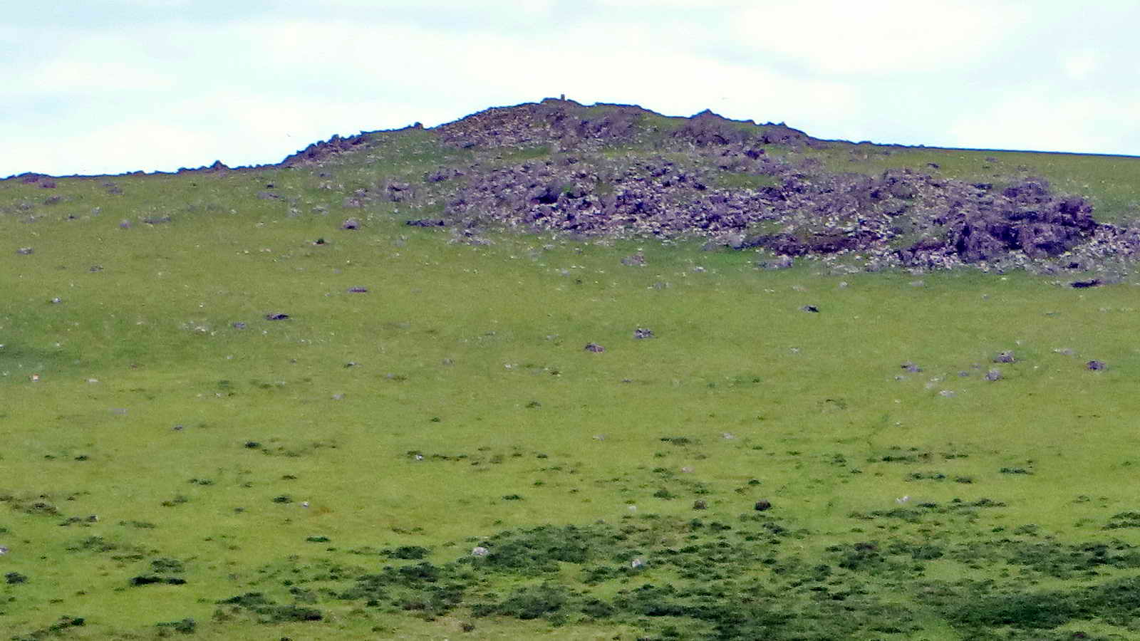
Zoomed view .....

Zoomed more, to see the triangulation surveying pillar.

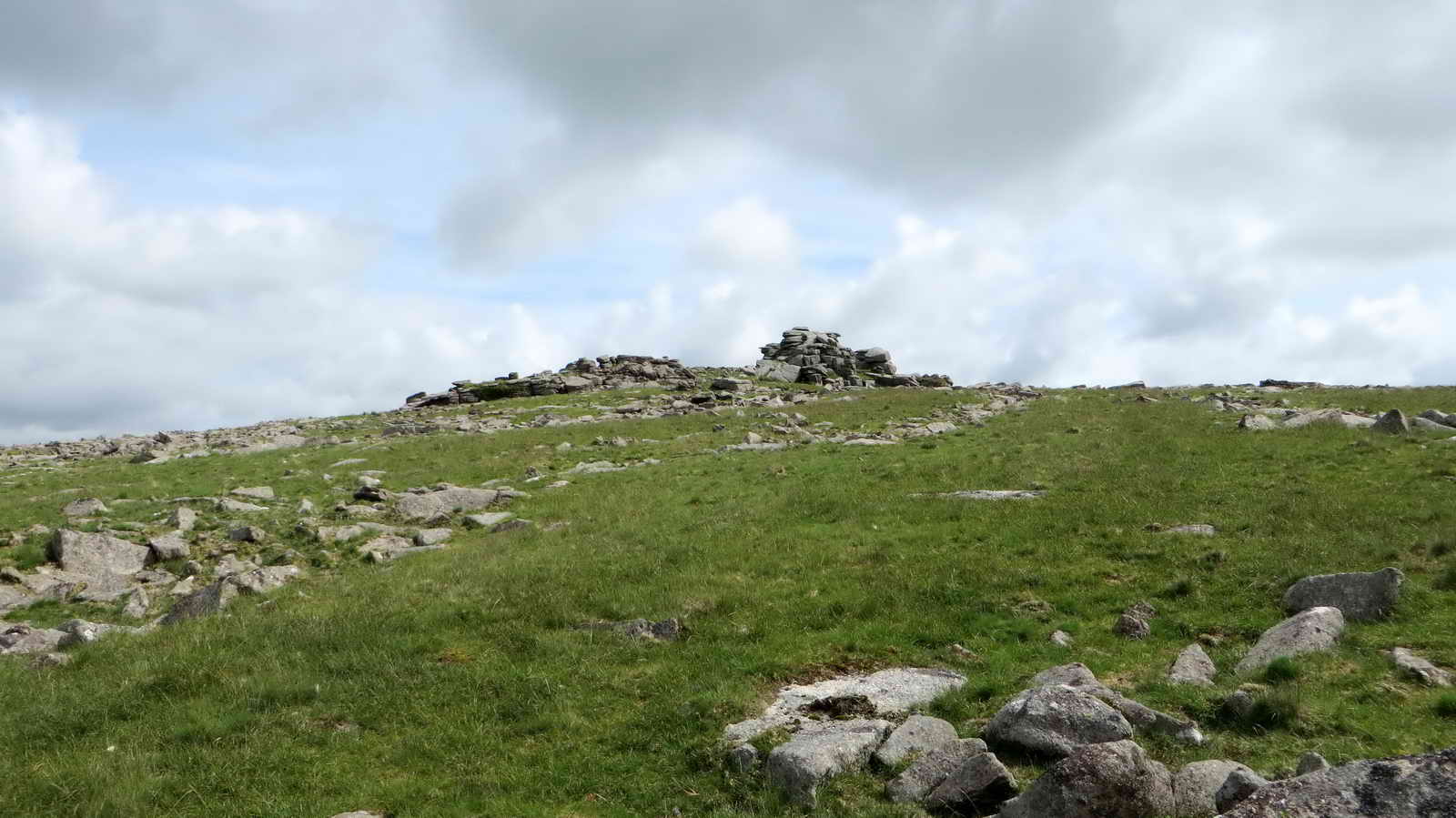
Approaching Great Staple Tor .....
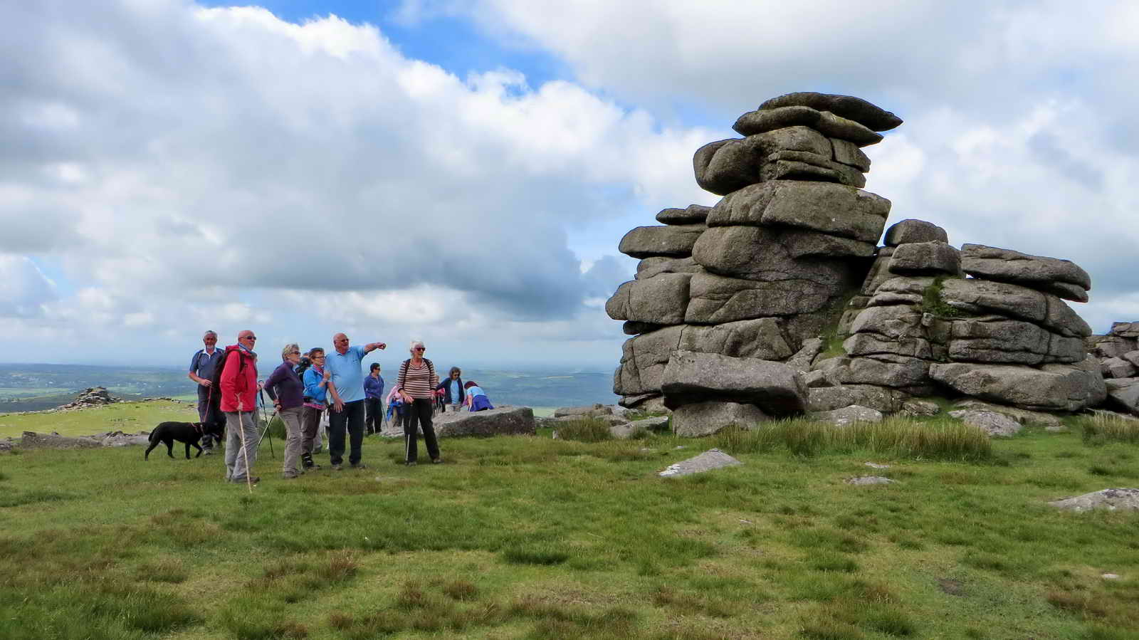
On the top of Great Staple Tor .....

As previous photo.

Looking over to Roos Tor, SX 543 766, elevation 454 metres (1489 feet) ..... with two old markers cicrcled .....

Cropped section of the previous photograph: the Duke of Bedford had older markers marked by a granite pillar in 1890 so that there could be no excuse for taking stone from inside the markers stones that surrounded the tor, thereby preserving it; this is one of eleven pillars, extending the original 1840 "hot cross bun" markers around the base of the tor. Source: Dave Brewer (2002), Dartmoor Boundary Stones, Halsgrove, p.251.
Roos Tor showing the logan stone and the military flag pole for the flying of a red flag when firing is in progress on the Merrivale firing range.

Zoomed view.

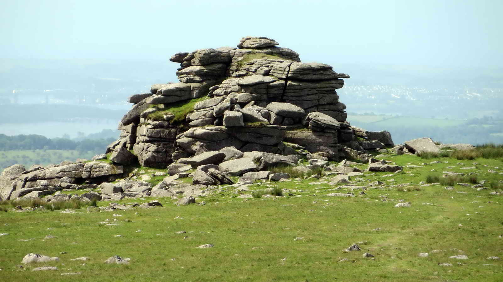
In the distance, Fur Tor, SX 58747 83058, elevation 572 metres (1876 feet) .....

Fur Tor, 8.32 km (5.17 miles) distant, on a bearing of 29�.

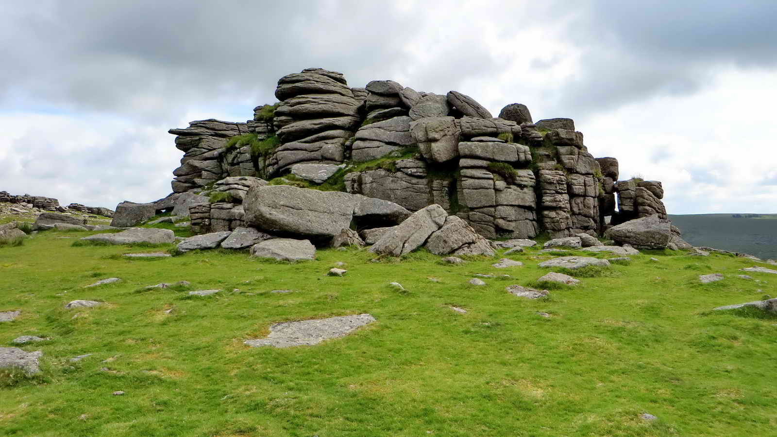
The main rock pile at Great Staple Tor.
Looking back at Middle Staple Tor .....
Zoomed view.

Great Mis Tor .....
Great Mis Tor.

Walking along a manmade track.
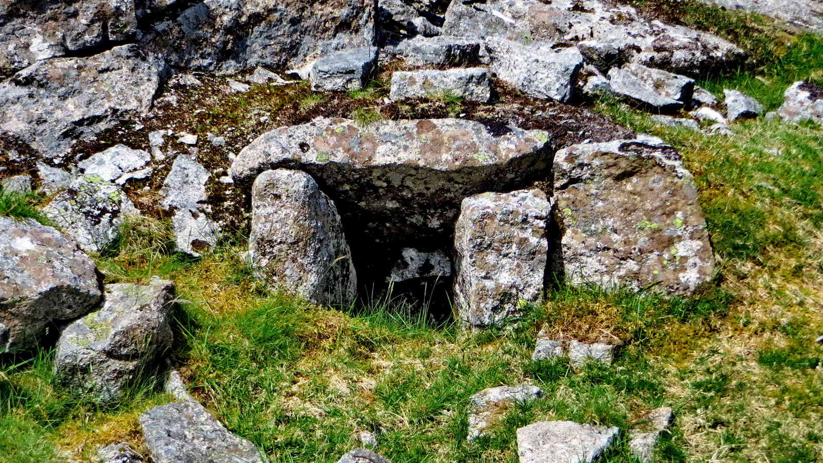
A sett maker's banker, where men cut granite setts (cobble stones) ..... at SX 54407 75971 .....
|
The book that describes many
aspects of granite working in this area. |
Side view of the "work station" .....

Another view of the built-up track .....

Looking at an embankment, "Duke's Folly", after the William Duke who opened Merrivale Quarry in 1875. The plan was to build a railway across Long Ash to link with the Plymouth & Darmoor Railway at Swell Tor Quarry, thereby linking with Plymouth, the railway and the docks: it was not built.

How the men worked at the bankers.

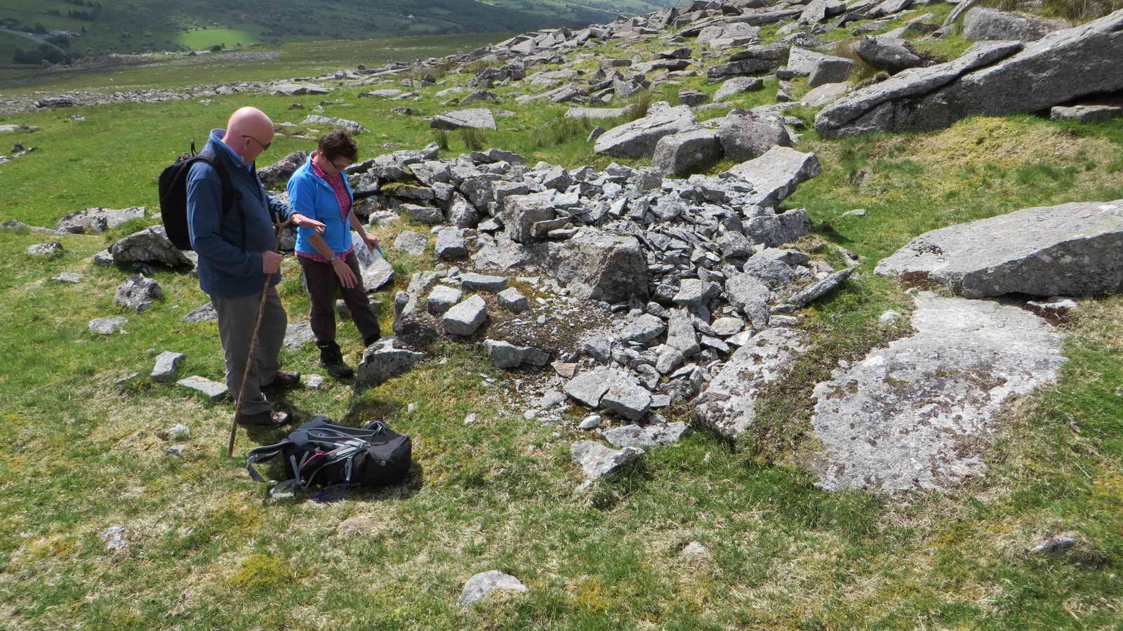
Two sett makers' bankers ......

Three bankers close together ..... SX 54535 75443 .....
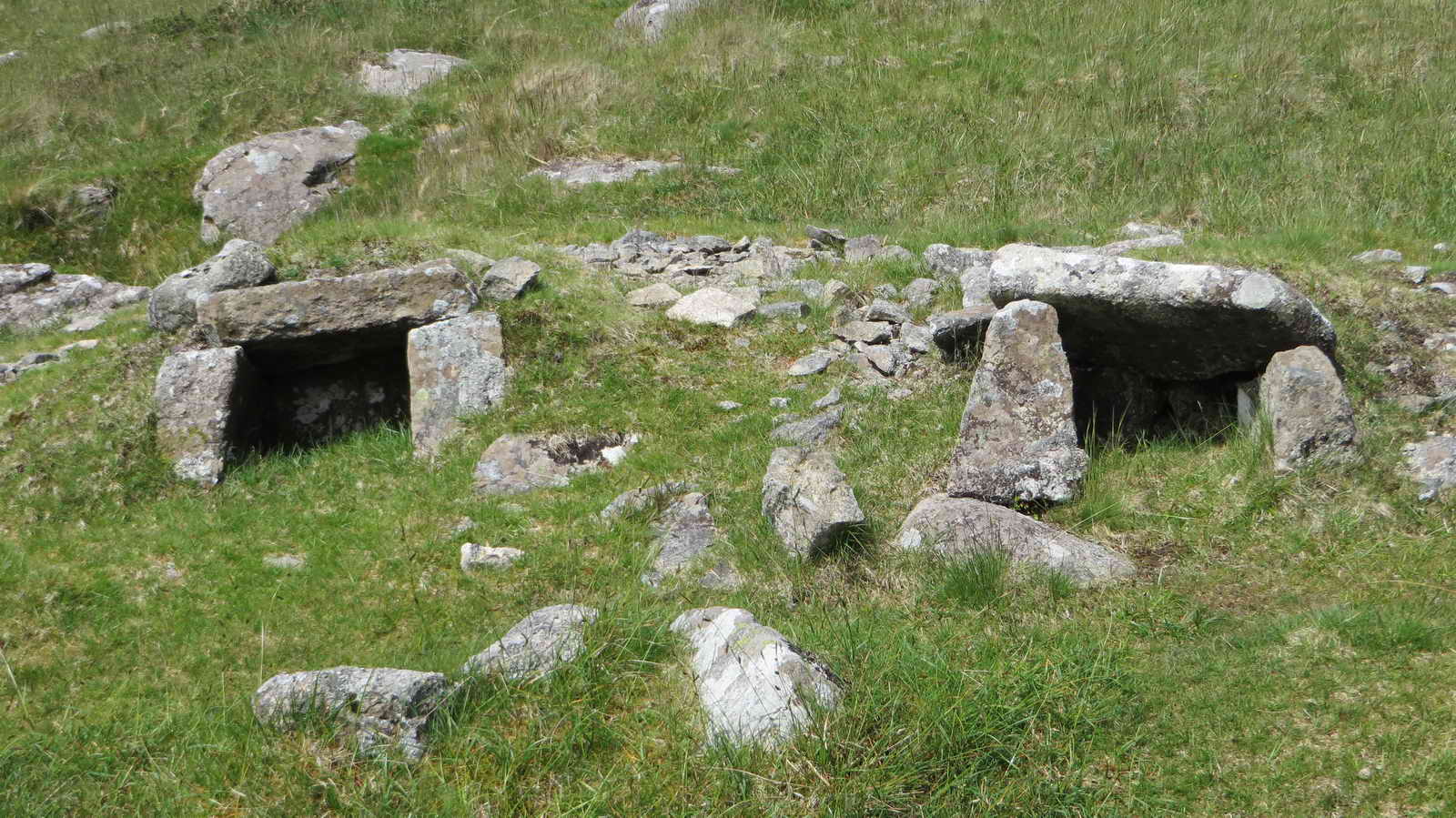
Another pair of bankers.

Merrivale Quarry (photo 1) .....

Merrivale Quarry (photo 2) .....

Something by a rock .....

Another view .....

The old Wesleyan chapel, a listed building.

The old explosives store, SX 54537 75196 .....
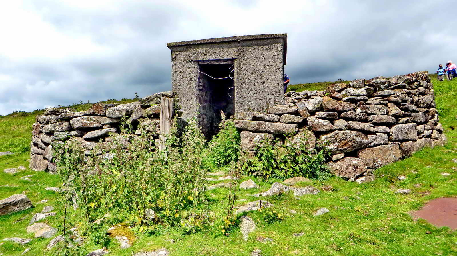
Front view.
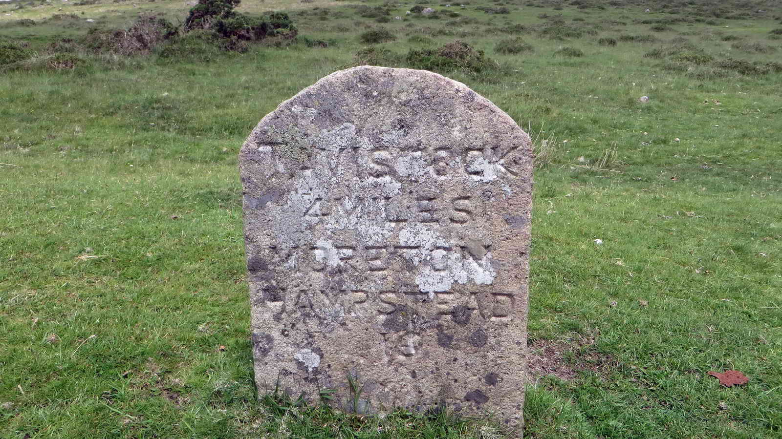
Roadside milestone.
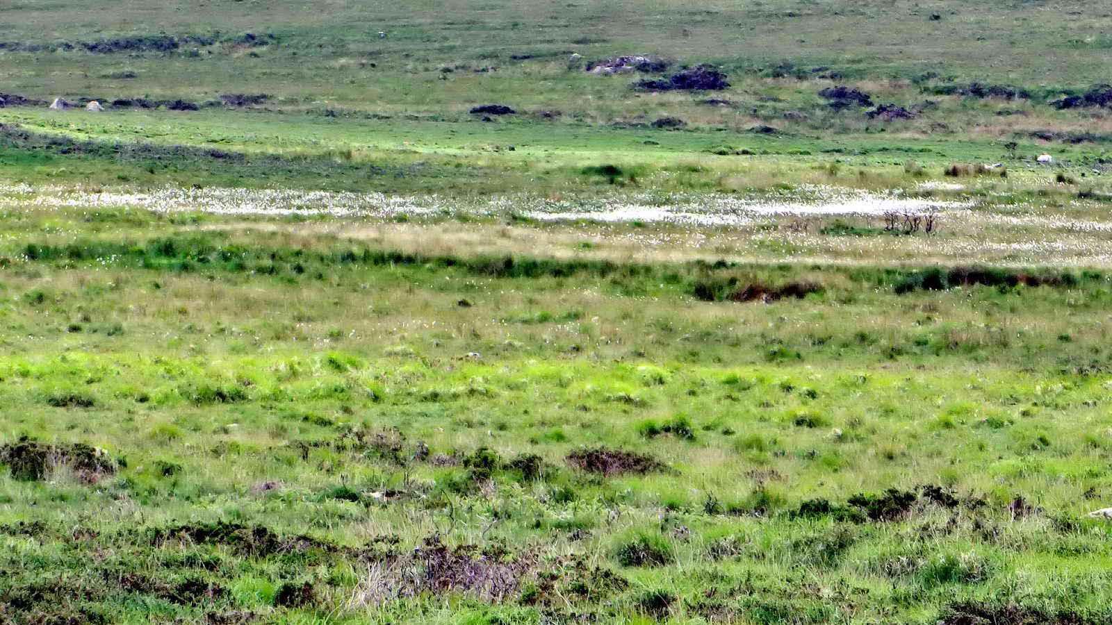
A sea of cotton grass .....
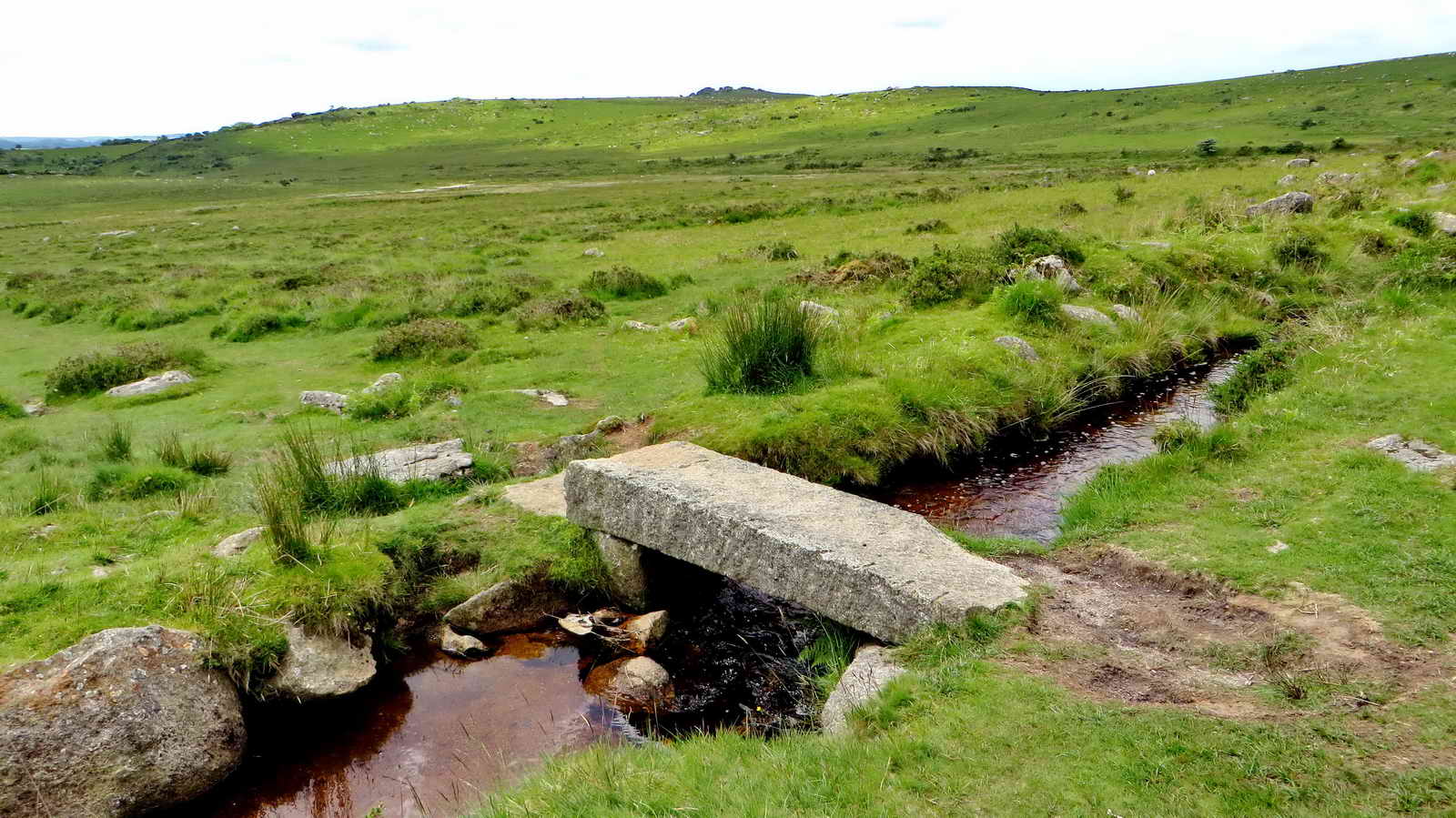
Bridge over the Grimstone & Sortridge Leat, that took water 7 miles to the C13th Grimstone Manor and to Sortridge Consuls Mine in the 1800's.
MAP: Red = GPS satellite track of the walk.

© Crown copyright and database rights 2012 Ordnance
Survey
Licence number 100047373
Also, Copyright © 2005, Memory-Map Europe, with permission.
This walk was accessed by parking at the Rees Jeffreys car park marked on the map by the P symbol and the yellow cross. This is about 1 km west of Merrivale on the Two Bridges-Tavistock road.
Statistics
Distance - 3.99 km / 2.48 miles.
All photographs on this web site are copyright ©2007-2016 Keith Ryan.
