![]()


This walk: 2017-5-25. Sharpitor, Walkhampton Common Reave, hut circles, Leeden Tor, Dartmoor ponies, Great Western Reave, Ingra Tor cist, Ingra Tor, quarry, crane bases, Ingra Tor Halt, cattle "creep" bridge, bluebells, Pew Tor, Babyland (Medieval longhouse?), Routrundle, Bronze Age pounds, benchmark.
Walk details below - Information about the route etc.
Previous walks in this area: 25th February 2009, 15th September 2010, 15th September 2010, 12th November 2014 and 17th March 2017.
Google Satellite map + GPS track of the walk
Old map
Ordnance Survey 6-inch 1888-1913 Series

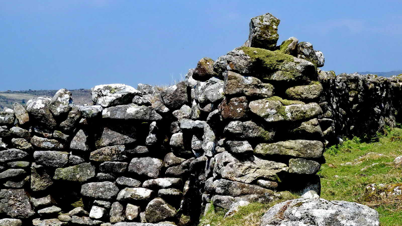
Sharpitor (SX 560 703, elevation 410 metres or 1345 feet), owned since 1984 by Dartmoor Preservation Association and its members! This photograph was taken to show the diagonal linear feature running up the slope from lower- left towards upper-right. This is part of Walkhampton Common East Reave, more about which follows below and later.

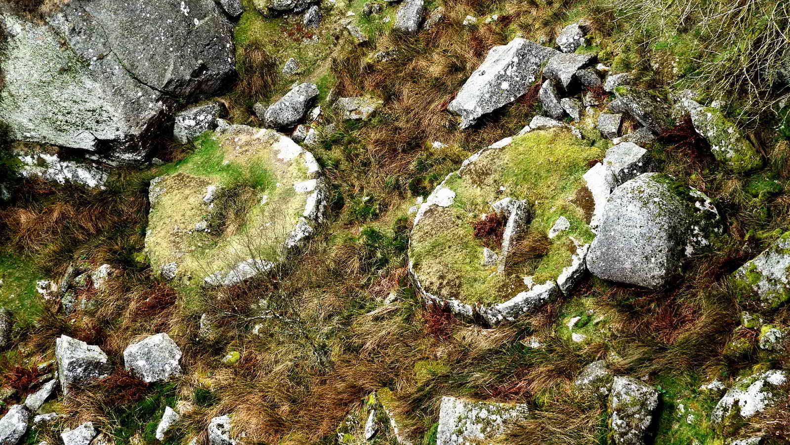
One of three small hut circles, looking towards Sharpitor and the reave. The circle is no. 1 on the figure below .....

Large hut circle, SX 56225 71108, this is no. 4 in the figure below .....

Image � J Butler 1994. Reproduced by kind
permission (ref. 29 Sept. 2012)
This area is described by Jeremy Butler, 1994, Dartmoor Atlas of Antiquities Vol. 3 - The South-West, 1: Leeden Tor South (fig. 45.1), page 36.
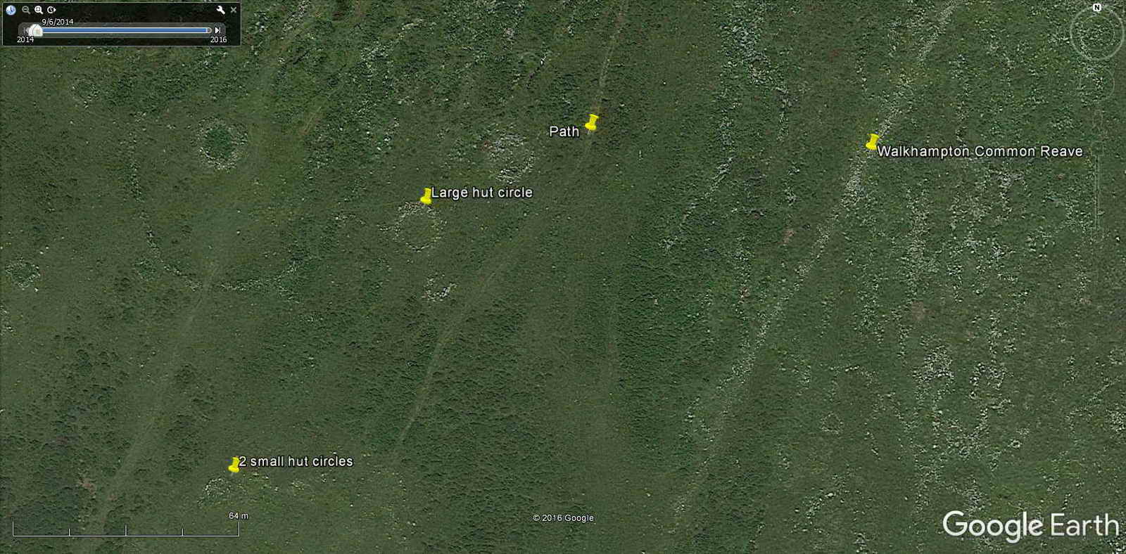
Google Earth image of the area, from the small hut circles (near lower left edge) to the larger circles and the reave .....

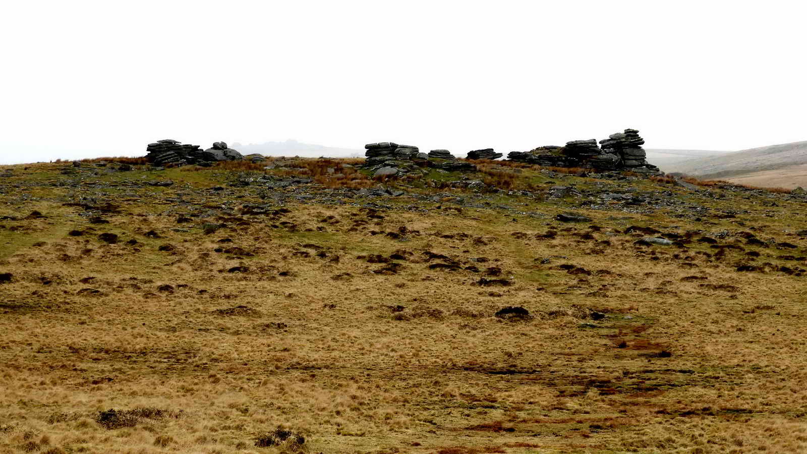
Standing on Walkhampton Common East Reave, looking towards Sharpitor .....

Looking in the opposite direction, uphill towards Leeden Tor (out of sight)
Reaves - land boundaries of heaped stones
There are essentially four types of reaves:
Walkhampton Common Reave separates the Meavy and Walkham Valleys with a remarkably straight central section, overgrown by peat. Unlike the other water-shed reaves this one is not aiming for a tor or skyline barrow. The reave can be traced from SX 5600 7050 in the clitter of Sharpitor, to SX 5784 7807 at a terrace of the disused Princetown to Yelverton railway line. The total distance is 3170 metres and although there are small irregularities it maintains remarkably straight courses with one re-alignment in the vicinity of an enclosure. Associated with stone alignments, huts and cairns.

Image reproduced by permission of Batsford
Books.
The figure above is reproduced from Andrew Fleming (1988) The Dartmoor Reaves - Investigating Prehistoric Land Divisions, BT Batsford Ltd, London, page 41.

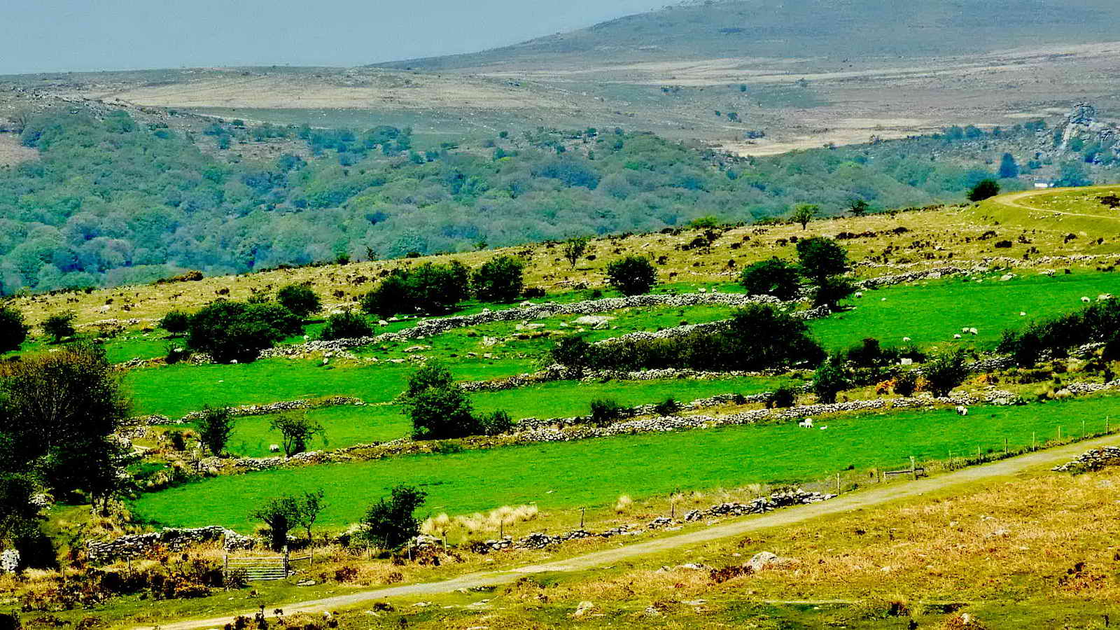
Approaching Leeden Tors on the day - of cloudless skies and sunshine .....

Another view. Photo: David Rogers .....

Still the sky was blue!
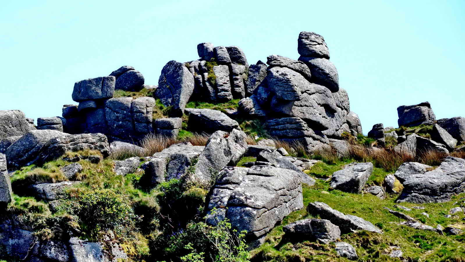
Approaching Leeden Tor, SX 5630 7180, elevation 389 metres (1276 feet), there are several outcrops and piles around this point .....
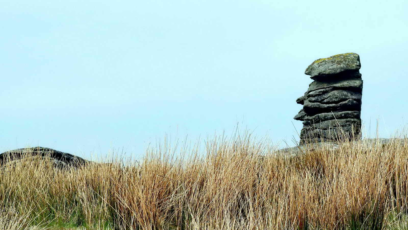
Almost a rival for Bowerman's Nose?

Local resident .....

Two ponies on a dull damp day - the weather forecast had been all-day blue skies but it was a windy, bad hair day!

The classic Leeden Tor image .....

Zoomed.

The Great Western Reave, at SX 56260 71843 - there probably more photogenic sections but this is where today's route crossed it. Reaves are now labelled as "Boundary Work" on modern OS maps.
The Great Western Reave measures over 10 kilometres in length and is the longest known prehistoric land division boundary on Dartmoor. This record covers the most southerly section of the reave (two sections measuring a combined length of 2.58 kilometres). Along its length, the width of the reave varies between 2.5 metres and 4 metres, whilst its height varies between 0.2 metres and 0.7 metres. A second reave leads off at right angles at SX55777088 and there are hut circles and cairns associated with the reave.
This very long reave is a territorial boundary something akin
to a modern parish boundary? It extends from near Sharpitor, near Dousland/Yelverton, to Whittor ie White
Tor , near Peter Tavy, some 10 km (6 miles).
Along the route to the cist, we observed the 11.00 am one-minute silence to think about events in Manchester.
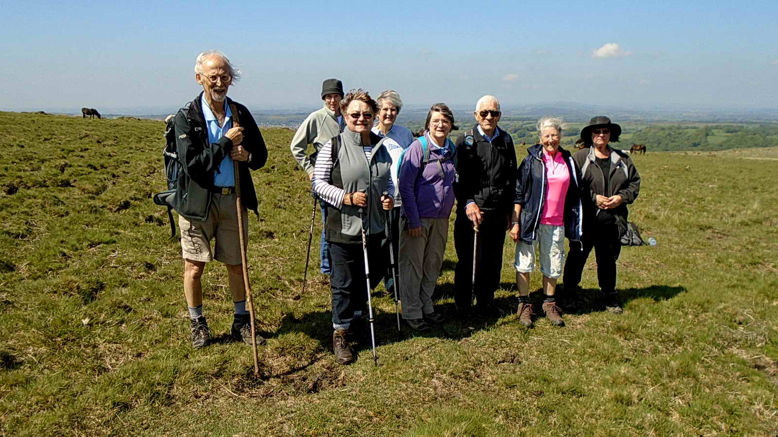
Some of the group:: sometimes, as our old Director used to say, getting them all together in one photo is a bit like herding cats! Photo: David Rogers.

Ingra Tor cairn, with a central cist, SX 55877 72083 .....

Showing the displaced capstone of the cist, with Ingra Tor behind .....

The cist, showing the opening into the grave .....

Inside the cist .....

Image � J Butler 1994. Reproduced by kind permission (ref. 29
Sept. 2012)
This cist is described by Jeremy Butler, 1994, Dartmoor Atlas of Antiquities Vol. 3 - The South-West, 16: Ingra Tor cairn and cist (fig. 45.13), page 51.
The cist is a few metres above the Routrundle leat, which is about 23 metres down the slope. The leat is marked by a downhill bank but is really quite non-photogenic and it is not easy to see the actual "trench" that was the water course in photographs, so it is not included here.

Scattered pits near the cairn are described as "stone pits" by Butler in his description of the cairn - see the reference above (as a forerunner of quarrying?)

Ingra Tor, SX 555 721, elevation 339 metres (1112 feet) ..... the quarry is cut into the reverse side of the tor .....

Looking down into the quarry at two old crane bases .....
Zoomed view .....

About to enter Ingra Tor Quarry.

One of the crane bases, seen from a lower viewpoint .....

Cloe-up view.
Looking at the old concrete base that is left from Ingra Tor Halt railway station, where the quarry workers alighted from the train .....

Google Earth image of the Ingra Tot quarry .....
DNPA Factsheet, Prehistoric Archaeology.
Dartmoor moorstone has been used for building since the Bronze Age
(round house hut circles, extensive and regular reaves and field
systems, stone rows, circles and burial cairns). There are signs
that it was used earlier, in the Late Neolithic (around 2,500 BC),
when irregular field systems were in existence from the early
farmers.
George Thurlow (1993), Thurlow's Dartmoor Companion,
Peninsula Press Ltd, Newton Abbot, page 308.
Quarrying for granite in this area is thought to have started
around 1790, when Princetown was being built and roads were being
made across the moor. The feather and tare splitting method
appeared around 1800, prior to which the wooden wedge and groove
method was used.
DNPA Factsheet, The History of Dartmoor. The foundation stone of Princetown Prison was laid on 20 March 1806.
Mike Brown (2001) Guide to Dartmoor, CD-ROM, Dartmoor Press
55567212
In the floor of Ingra Tor Quarry are two very well-preserved circular crane bases. The vertical quarry face can come as an unwelcome surprise to those not expecting it when scrambling up the opposite slope to the summit.
55617220
The low wall ruins beside the railway trackbed of the PDR a little way east of the quarry entrance are part of Ingra Tor Halt, part of which appears to have been built within a small pound, the semi-circular outline of its walls still remaining. The short wooden platform originally stood on the opposite side of the track. Nearby once stood a sign warning dismounting passengers of adders, a sign which has long since vanished. Contrary to popular belief, the halt was not established for ramblers, but for a group of quarry workers who started reworking stone at Ingra Tor in 1936.
Princetown originated around 1785, through the activities of Sir Thomas Tyrwhitt in his attempt to make Dartmoor productive farmland. It was founded as "Prince's Town" as Thomas Tyrwhitt was at that time Secretary to the then-Prince of Wales, first child of George III, later to become George IV. Tyrwhitt was influential in the building of Dartmoor Prison, which opened in 1809 to house prisoners of the Napoleonic Wars (1803-1815).
Princetown Branch (Princetown-GWR railway - Princetown Railway opened 11th August 1883. On ist January 1922, absorbed into the GWR. Ingra Tor Halt was opened on Monday March 2nd 1936 in connection with the short-lived re-opening of the adjacent quarry. Its later traffic was entirely walkers and it was well known for its notice warning about snakes.
Ingra Tor Halt railway station - Wikipedia
The station opened on 2nd March 1936, long after Burrator &
Sheepstor Halt (opened 1924), King Tor Halt (opened 1928)
for when Ingra Tor quarry was waste stone was reworked for
road making.
Cripsin Gill (1970), Dartmoor - A New Study,
David & Charles, Newton Abbot, In: Chapter 8, Recreation, by Brian Le
Mesurier, page 239.
A once-famous railway notice at Ingra Tor Halt ....
Great Western Railway Company
NOTICE
In the interests of game preservation
and for their own protection against
snakes, dogs should be kept on a lead.
By Order
Helen Harris (1968), Industrial Archaeology of
Dartmoor, David & Charles, Newton Abbot, page 83
Ingra Tor Halt was made when local quarries were re-opened for a time when waste
granite was taken by Devon County Council for road making. The local
quarries closed around 1914 because of competition from other places and the
increasing use of concrete as a building material.
Kath Brewer (1998), The Railways, Quarries and
Cottages of Foggintor, Orchard Publications, Newton Abbot, pages 43-48.
Messrs Johnsons and Bryse were engaged to quarry on a long lease granted to the
Plymouth & Dartmoor Railway Company in 1820, to work at King Tor. The Foggintor
quarries were run by the Johnson Brothers 1820-1865. At some time later,
believed in the 1880s, they were run by the Pethick Brothers of Plymouth. Ingra
Tor was probably worked soon after Johnson signed the lease (in 1820). The two
crane bases and a building near the railway were used 1936-1941 when uncles of
the author (Brewer) and their workmen had a lease to use waste stone for making
kerbstones, setts and road stone for Devon County Council. Ingra Tor Halt was
opened for this use.
Stephen H. Woods (1988), Dartmoor Stone, Devon Books, in assoc. with
Dartmoor National Park Authority, Official publisher to Devon County Council,
Wheaton Publishers Ltd, Exeter, page 283.
The importance of quarrying in the area:. with regard to the quarries at Foggintor, Swell Tor, Ingra Tor and Great and
Little King's Tors ..... "At its height, between 1830 and 1840, the quarrying
here provided jobs for as many as six hundred men, and a whole community was
established. Ruins of cottages, stables, a manager's house, powder house,
dressing sheds, and other buildings remain at Foggintor".

Under the cattle "creep" bridge near the quarry, a stone block recycled from the old tramway showing the holes used to fix the plates that held the iron rails. A groove worn by or made to house the rail can be seen running vertically in the surface of the stone .....

Close-up .....

View looking north-west showing an impressive display of bluebells .....

Another view .....

As previous photograph, a zoomed view ..... towards Hucken Tor .....
The bridge, looking towards Ingra Tor Halt station - seen behind the right-hand fence .....

Zoomed view.
Railways
The Haytor granite tramway opened in 1820, this had granite rails and used horse-drawn wagons. It ran from Haytor quarries to the Stover Canal, to access Newton Abbot and Teignmouth. Ref. DNPA Factsheet, The History of Dartmoor.
The first iron railway on Dartmoor, the Plymouth & Dartmoor Railway opened in 1823, using horse-drawn wagons: it ran from Princetown to Crabtree on the outskirts of Plymouth; it was later extended to reach Sutton Pool harbour: this extension was later sold to the South Devon Railway, later to become the South Devon and Tavistock Railway. In November 1877, plans were proposed for the Princetown Railway to run from Yelverton to Princetown on the route of the Plymouth & Dartmoor Railway, built to accommodate steam locomotives. Part of the design was the building of a line east of Yennadon Down, the track of which remains above Burrator Reservoir, near Devonport Leat. It opened on 11 August 1883. The line was operated by the Great Western Railway, but owned by the Princetown Railway until 1 January 1922 when the Company amalgamated with the GWR. The line passed to British Railways in 1948 and was closed on 3 March 1956.
The history of the local railways is quite complicated!

Criptor was mentioned - not a tor but a farm.

Zoomed view at 300� magnetic to Pu or Pew Tor, SX 532 734, elevation 318 metres (1043 feet), showing Pew Tor Cottage (distant left) and probably Hecklake (left-most) and Heckwood (nearest) properties.

View of Ingra Tor from the west .....
Zoomed view.

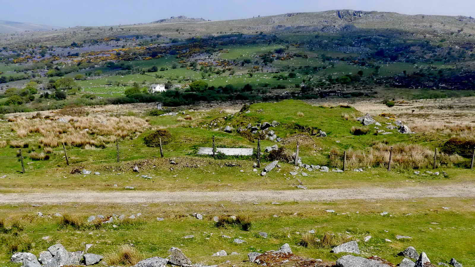
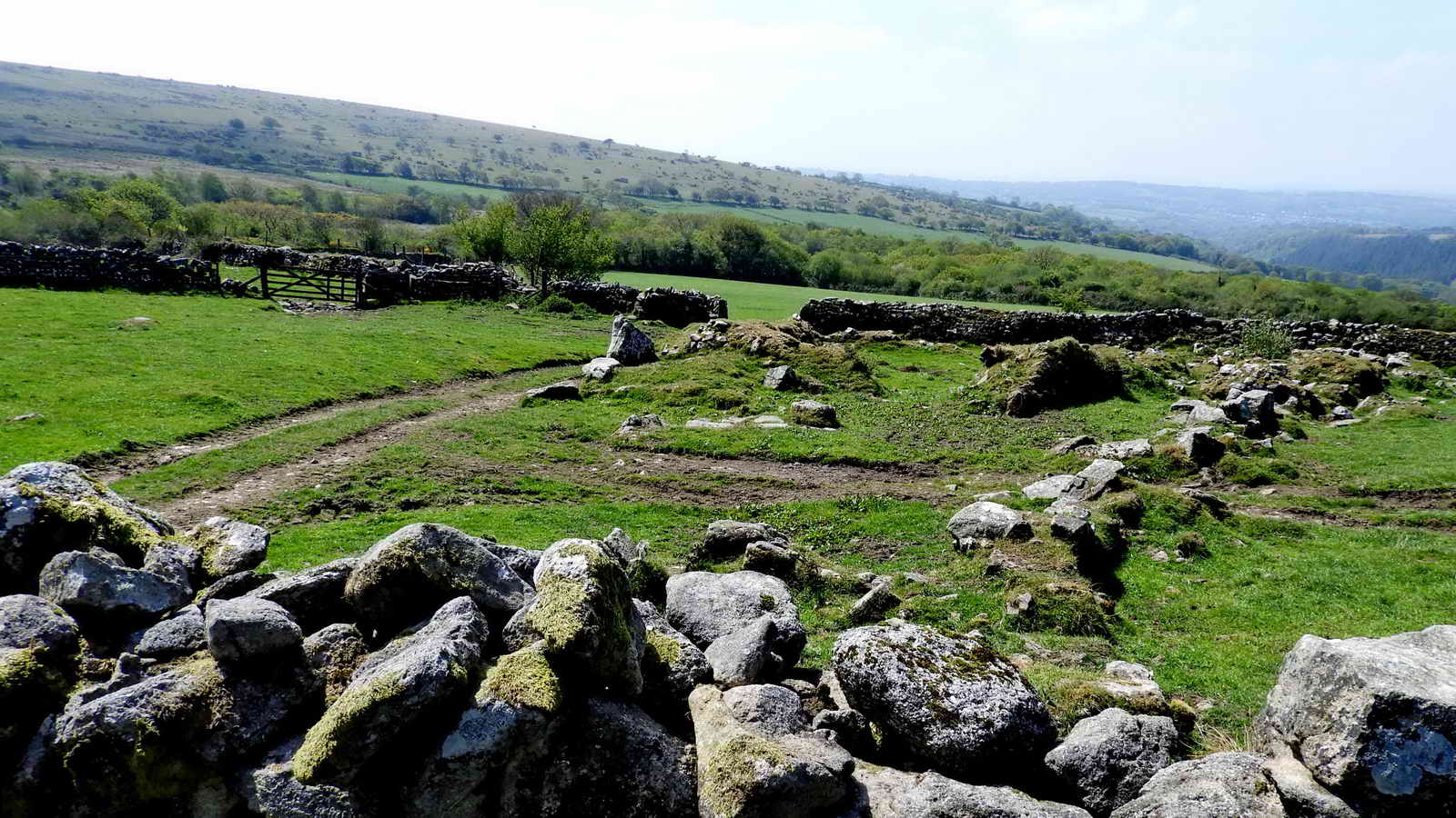
Looking over the wall en route between the old railway and the bridle path that runs below it at one of the Bronze Age pounds on the private land of Routrundle, this side is tree-lined (see later images) .....

Zoomed view.
On the day, we did not walk from the railway down to the bridle track into Routrundle, but these next few photos are included because they would normally have been seen. We had to speed-up for the table booked at the Burrator Inn - priorities !!

Down on the bridle path, at the ruins of Babyland .....
Photograph taken to show the construction of the dry stone wall .....
Looking over the wall at the ruins of Babyland ..... originally a Medieval longhouse, running down the slope for the drainage of animal waste?
From Devon & Dartmoor Heritage Environment Records ....
Babyland Deserted Farmstead north-east of Routrundle, Walkhampton - extracts ....
Copyright guidance - Information from the Devon & Dartmoor Historic Environment Record

A cattle feeder in the field .....

Another view of the Babyland ruins .....

Google Earth image of the Babyland site .....
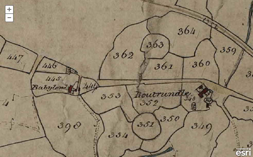
Image copyright: Devon County Council
Portion of the Walkhampton Tithe Map, showing Babyland, Routrundle and two Bronze Age pounds, items 351 and 363.
Tithe maps were produced to assess the tithe payable in cash to the parish church for the support of the church and its clergy. This tithe had been paid in kind until The Commutation Act was passed in 1836, when it was agreed that this should be converted to a monetary payment.
A survey of the whole of England and Wales was undertaken in the decade or so after 1836, to establish the boundaries of each parish, and assess the amount of tithe due for each parcel of land within it. This resulted in the survey of all tithe able land in each parish, the production of a map covering the whole parish and a reference book (apportionment) identifying each plot of land. Note that in a few cases, no tithe map was made for the parish, because the land within it was not subject to tithes.
Zoomed view looking back at the north pound from the bridle path after passing Routrundle and starting to climb the slope using the bridle path .....

Google Earth image showing the babyland ruins and two Bronze Age pounds, now used as "fields", the north pound has a hut circle inside it .....
From Devon & Dartmoor Heritage Environment records ....
Routrundle North Pound - extracts .....
Broadly oval enclosure, 58 by 48 metres diameter. Part of the south-west perimeter is represented by a stony scarp 0.5 metres high, elsewhere it comprises a stone spread of similar height upon which is a modern field wall
A single hut, 25ft in internal diameter, built of large orthostats, set in the centre of a circular enclosure, measuring 150ft diameter. The Pound walls are 5-6 feet thick, the hut walls 3-4 feet: entrance to hut from south-west: to Pound from north-west but obscured by later field walls. The Pound is on a gentle hill-slope and levelled a little into hillside. Condition very good: the pound wall has a modern field wall on top of it on the upper (east) side.
Routrundle South Pound - extract .....
The size and shape of the field is suggestive of an ancient enclosure which was appropriated at a later date as a small, ready-made newtake.
Information from the Devon & Dartmoor Historic Environment Record"
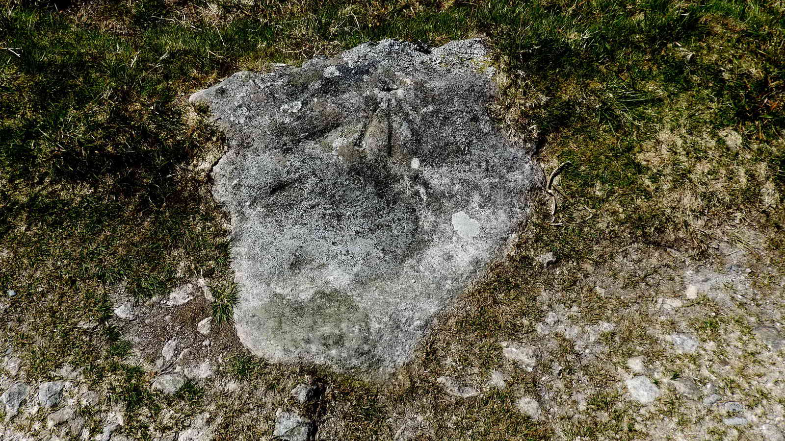
Aha, have we found a hitherto unnoticed benchmark, at SX 55729 71303? See Ordnance Survey benchmarks, Surveying benchmark - Wikipedia and Bench marks and levelling points
See also the Principal Triangulation of Great Britain (1791-1853) and the Retriangulation of Great Britain, 1935-1962, using triangulation pillars (trig. points)

Close-up of B.M. 1046.6 - shown on the map below .....

Reproduced with the permission of the National Library of Scotland
The benchmark is the one about equidistant from the railway as is Routrundle - B.M. 1046.6; there is another much closer to the railway, B.M.990.4 - yet to be seen, if it still survives. Ordnance Survey 6-inch Single Sheet Series Published 1884.

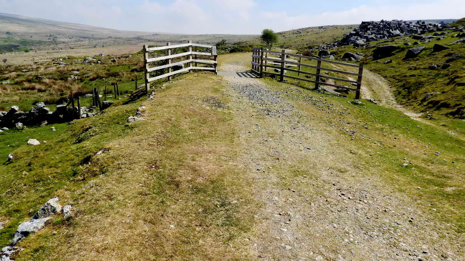
Approaching the car park from the direction of the Routrundle bridle path .....

The stalwarts, with a few missing!
MAP: Red = GPS satellite track of the walk.

� Crown copyright and database rights 2016 Ordnance
Survey
Licence number 100047373
Also, Copyright � 2005, Memory-Map Europe, with permission.
This walk was reached from the B3212 Yelverton to
Princetown road, with car parking at the
P
symbol on the map, also marked by the left-most yellow cross.
Statistics
Distance - 4.59 km / 2.85 miles
All photographs on this web site are copyright © Keith Ryan.
All rights reserved - please email for permissions