![]()


This walk: 2016-5-26. Pipe Track, bluebells, slow worm, Dewerstone, inspection pits, china clay storage tank, River Plym, iron mine, Dewerstone Hill, Cadworthy Tor, cairn cist, Cadover Cross, Cadover Bridge.
Walk details below - Information about the route etc.
Where we walked: Google Satellite view of the area - including the GPS track of the walk (compare with the Ordnance Survey map plus track below)
try zooming in with the mouse thumbwheel and "dragging" the map to see points of interest
click on the red place-markers to read their label - they are most accurate at the highest zoom level
try "mousing" over the list of placemarks on the left of the screen, highlights their place on the map
use browser back arrow or Alt key and left-arrow cursor key together to return to normal web page.
Previous walk in this area: 30th June 2010, 7th Jan. 2015, 2016-1-13 and 2016-5-18.

A bend in the Pipe Track where the pipe(s) for china clay slurry from Brisworthy/Lee Moor passes around a rock above the the River Plym, which is seen down to the left.

Bluebells, in North Wood .....

Bluebells .....

Bluebells .....
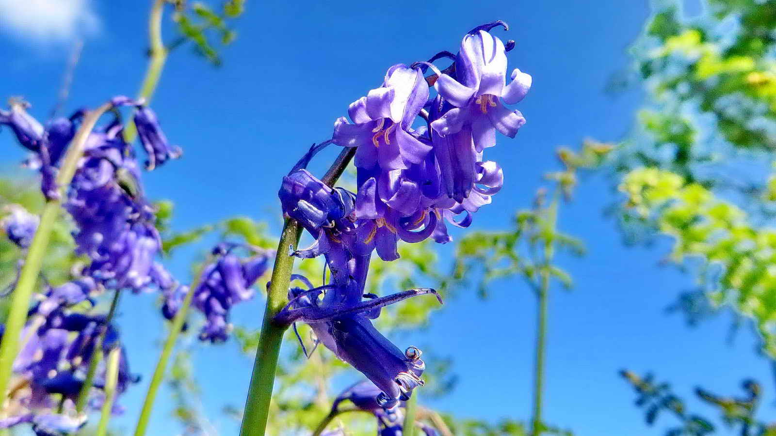
Bluebells.
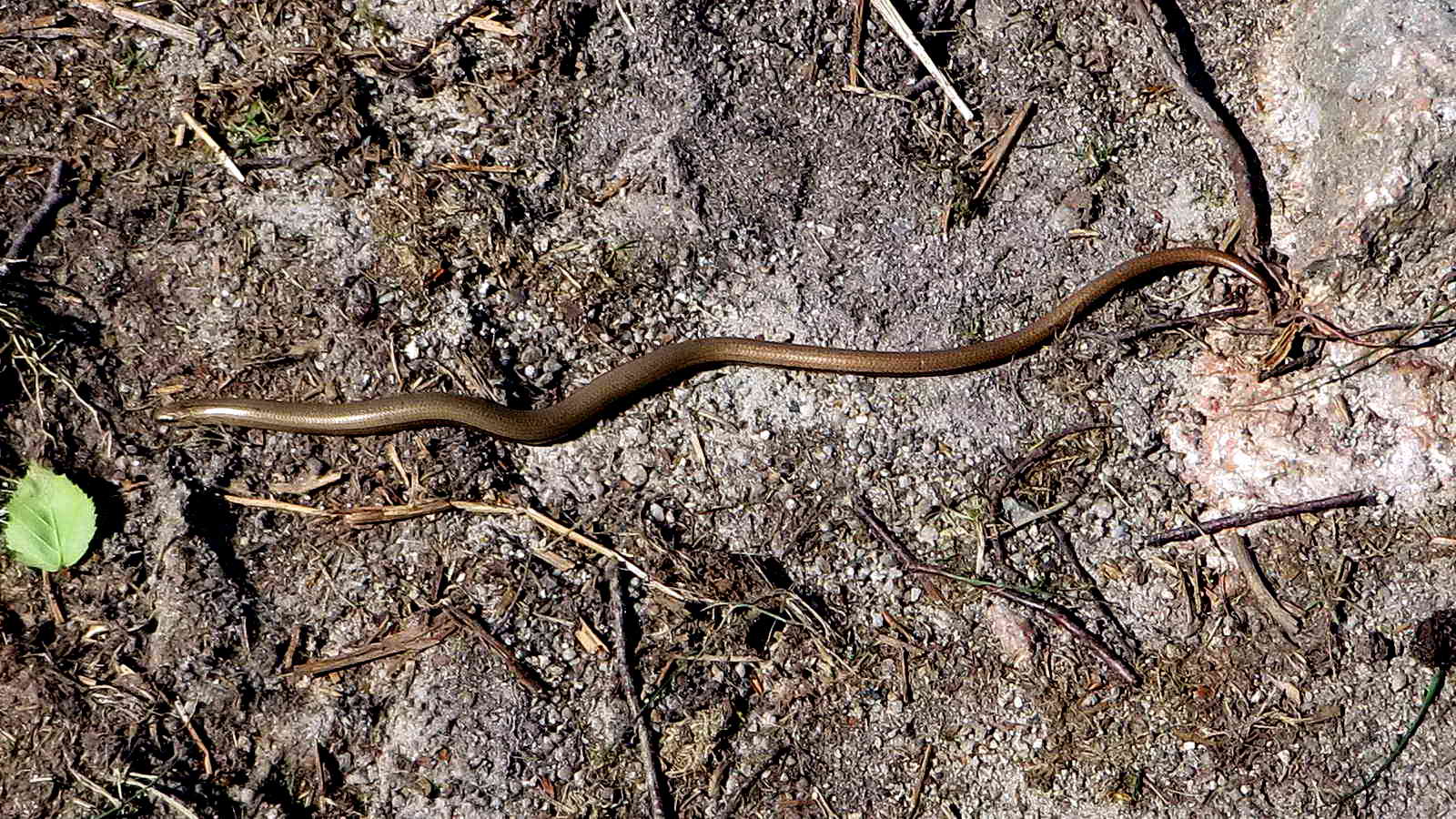
A slow worm.

The Dewerstone .....

Zoomed view.
Inspection pit in the china clay pipe, SX 54110 63661 - these may occur where the pipe becomes doubled (see along the pipe, to the left).

A china clay slurry tank(?) - note the pipe entering the tank at centre bottom of the photograph - SX 54009 63514.

An oak tree with a gorilla-like protruberance - see up the right side of the trunk .....
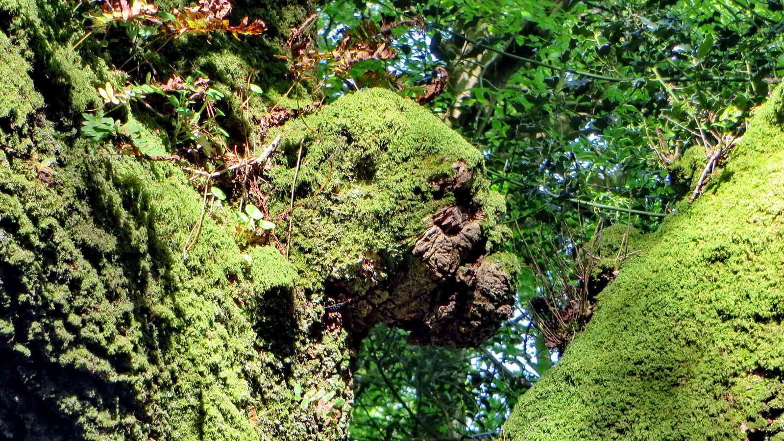
The protruberance, a branch stump?

Greater Stitchwort, Stellaria holostia.

Shaugh Bridge Drying Sheds - china clay flowed two-miles in a suspended slurry in a pipe from near Cadover Bridge to settling pits and then to be dried out here between 1895 and 1950. This area was cleared from its overgrown condition in 2009 by Dartmoor Preservation Association (I remember working here!) ..... the photograph shows the the loading bays: the clay was dried by heat from fires in kilns - the workers had to wear wooden clogs. The clay was transferred to the railway at Shaugh Platform.
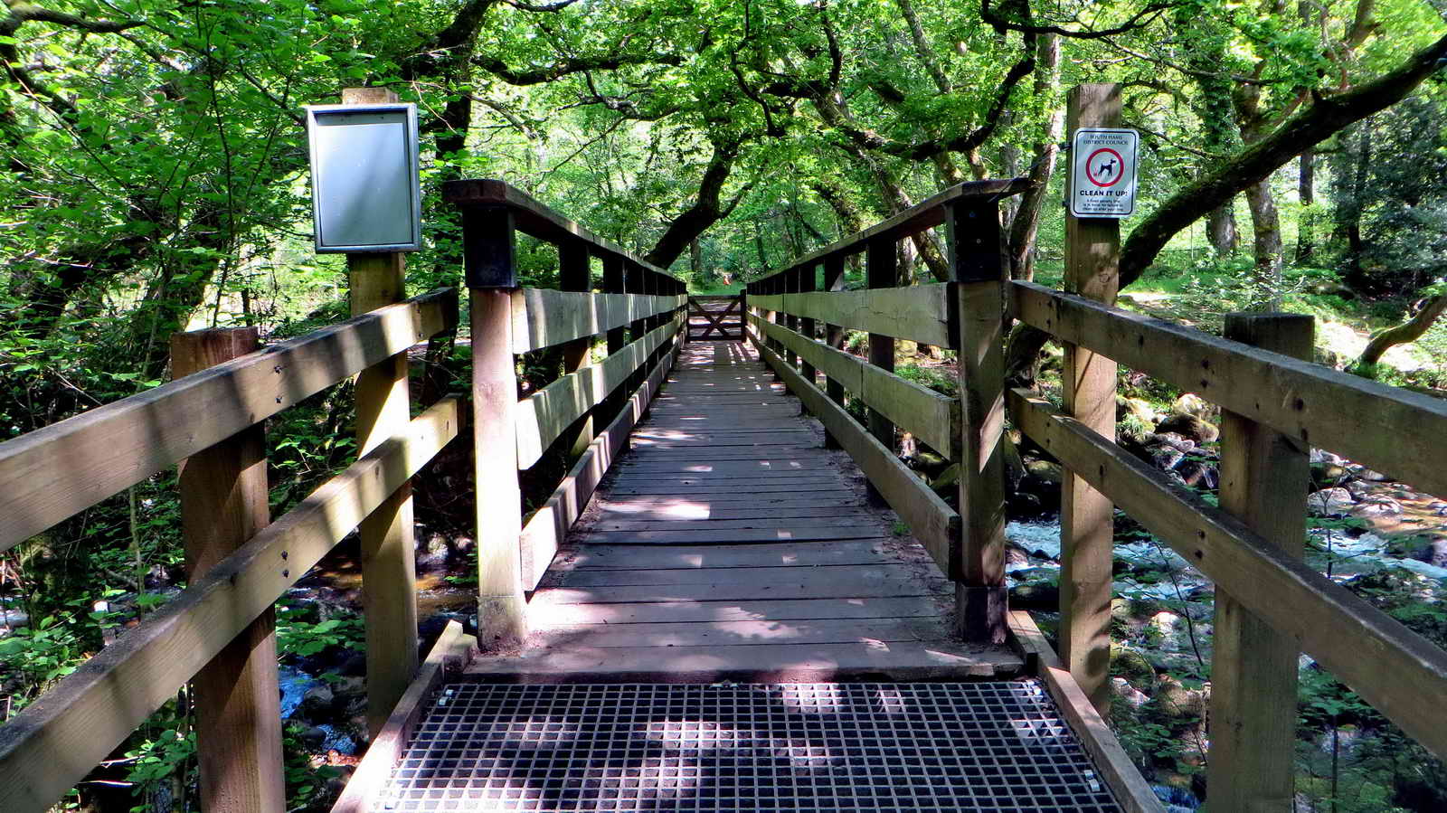
Footbridge over the River Plym, opened 14th November 2010.
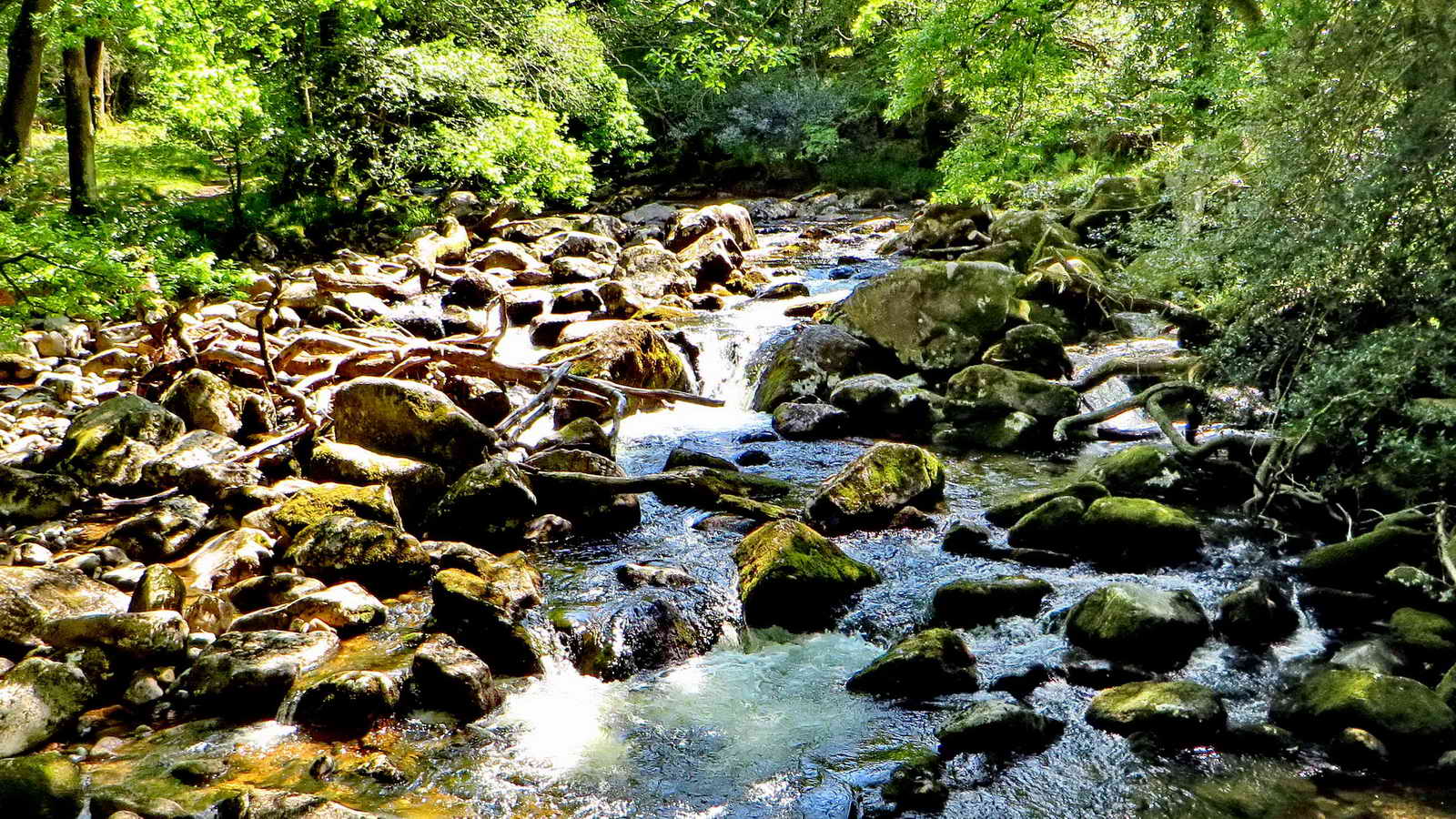
River Plym, formerly called the Cad .....

Zoomed view.

A collapsed adit alongside the track .... a sign of the old Dewerstone Iron Mine that produced poor quality iron ore for brick-making in the nearby brick works. Better quality ore was produced and sent away for smelting.
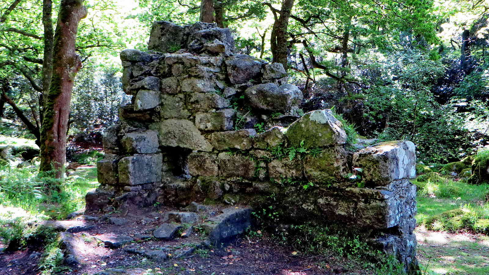
A ruined building possibly associated with the old Dewerstone Iron Mine .....

View from the other side.

A woodpecker hole.

Possible Chinese proverb - Falling Leaves Return to Their Roots, at SX 53792 63898.
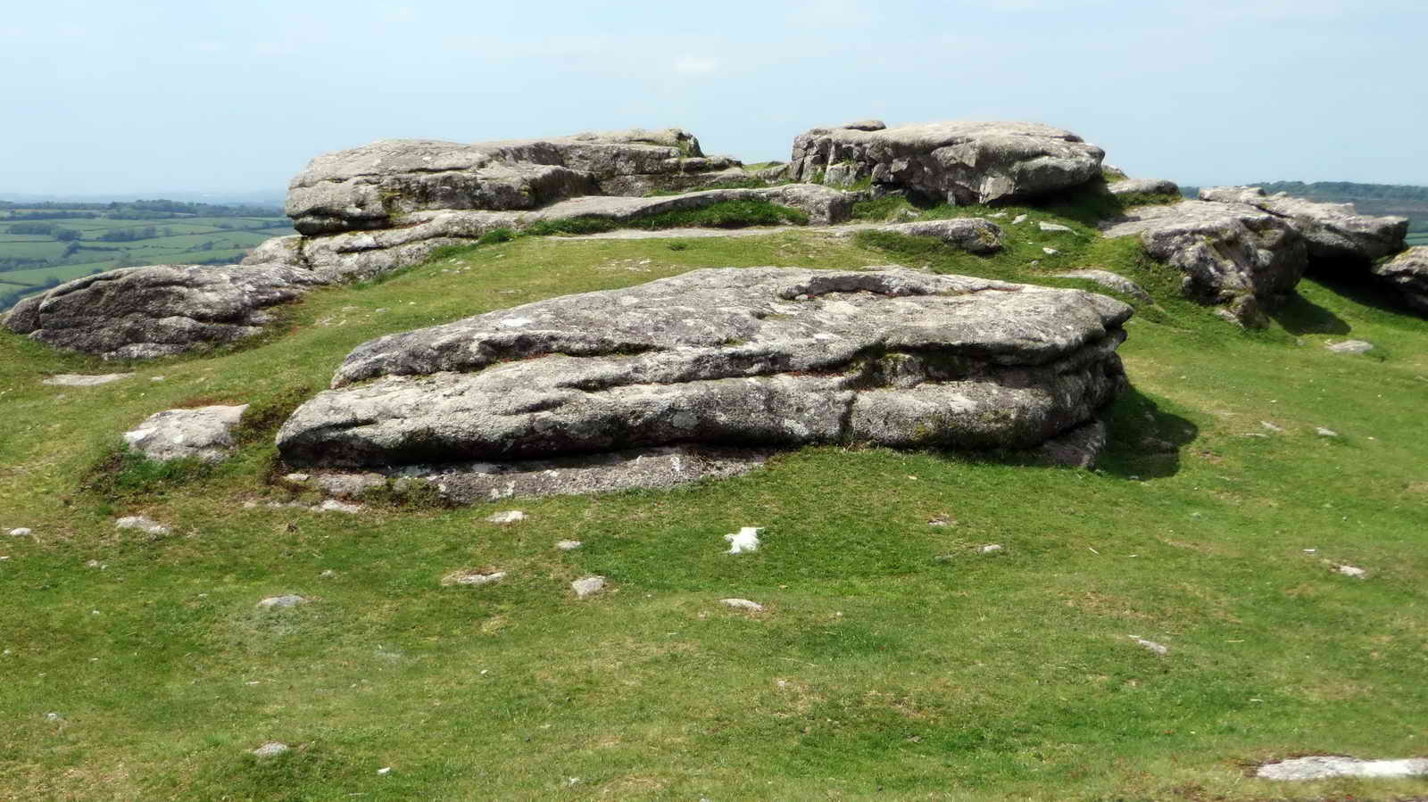
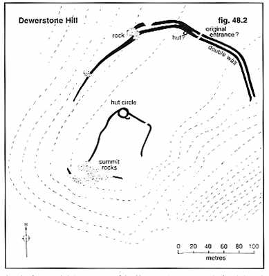
Dewerstone Hill, SX 53775 63903, elevation 219 metres (708 feet) - there are several inscriptions on the rocks here .....
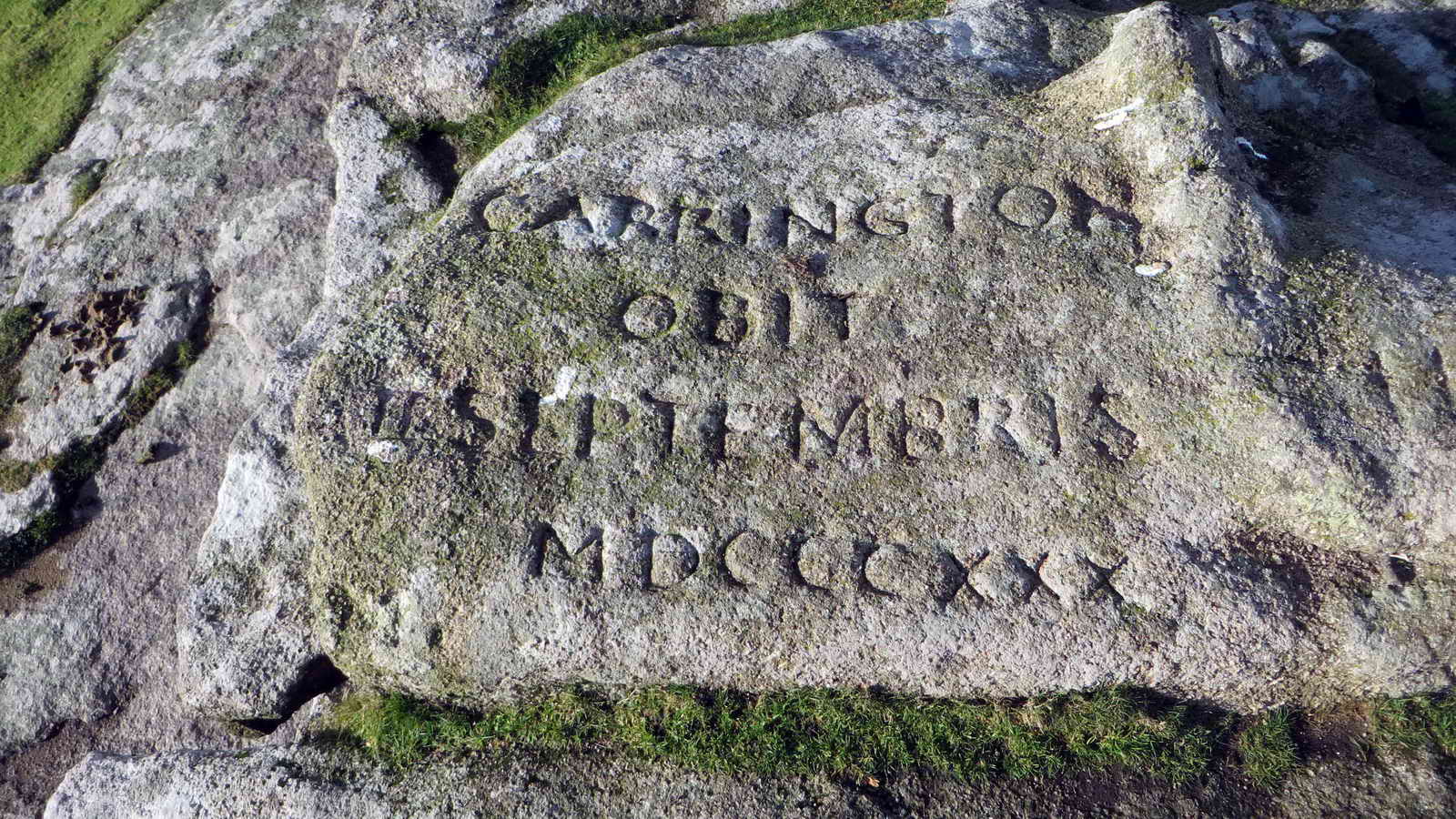
CARRINGTON - OBIT - SEPTEMBRIS MDCCCXXX (1830) ..... in memory of Noel Carrington, a local Dartmoor poet, and ......

Variously, W FORD, F WIDGER, F DODRIDGE

W FORD.
|
|
One of the very few prehistoric fortifications on high moorland - no doubt due to it's promontory location: Jeremy Butler, 1994, Dartmoor Atlas of Antiquities Vol. 3 - The South West, 1 - Wigford Down field system and cairns, and Dewerstone Hill (figs. 48.1, 1.1, 1.2, 2), pages 78-98.

Another view of the summit rocks.

Cadworthy Tor, SX 54182 64160, elevation 238 metres (780 feet) ....
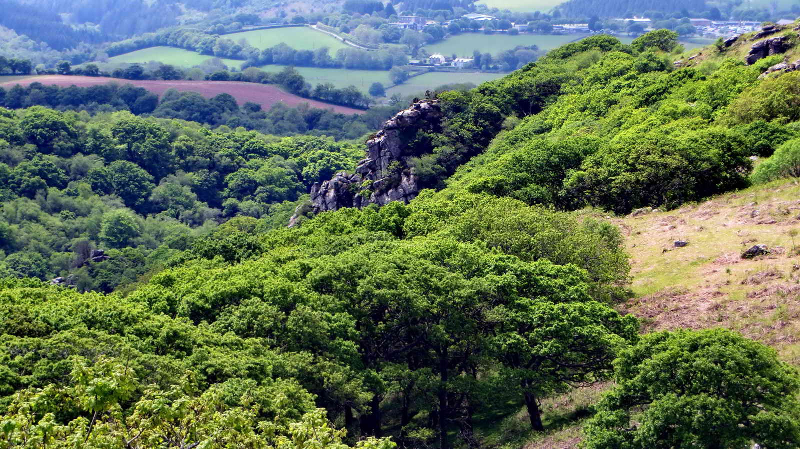
The Dewerstone, seen from Cadworthy Tor .....
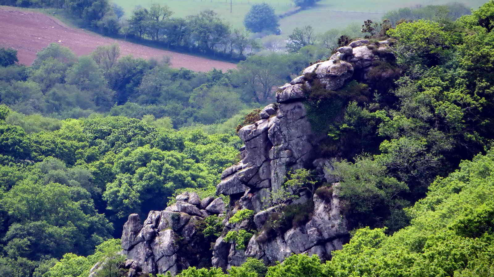
Zoomed view.

Cairn cist at SX 54420 64424 .....
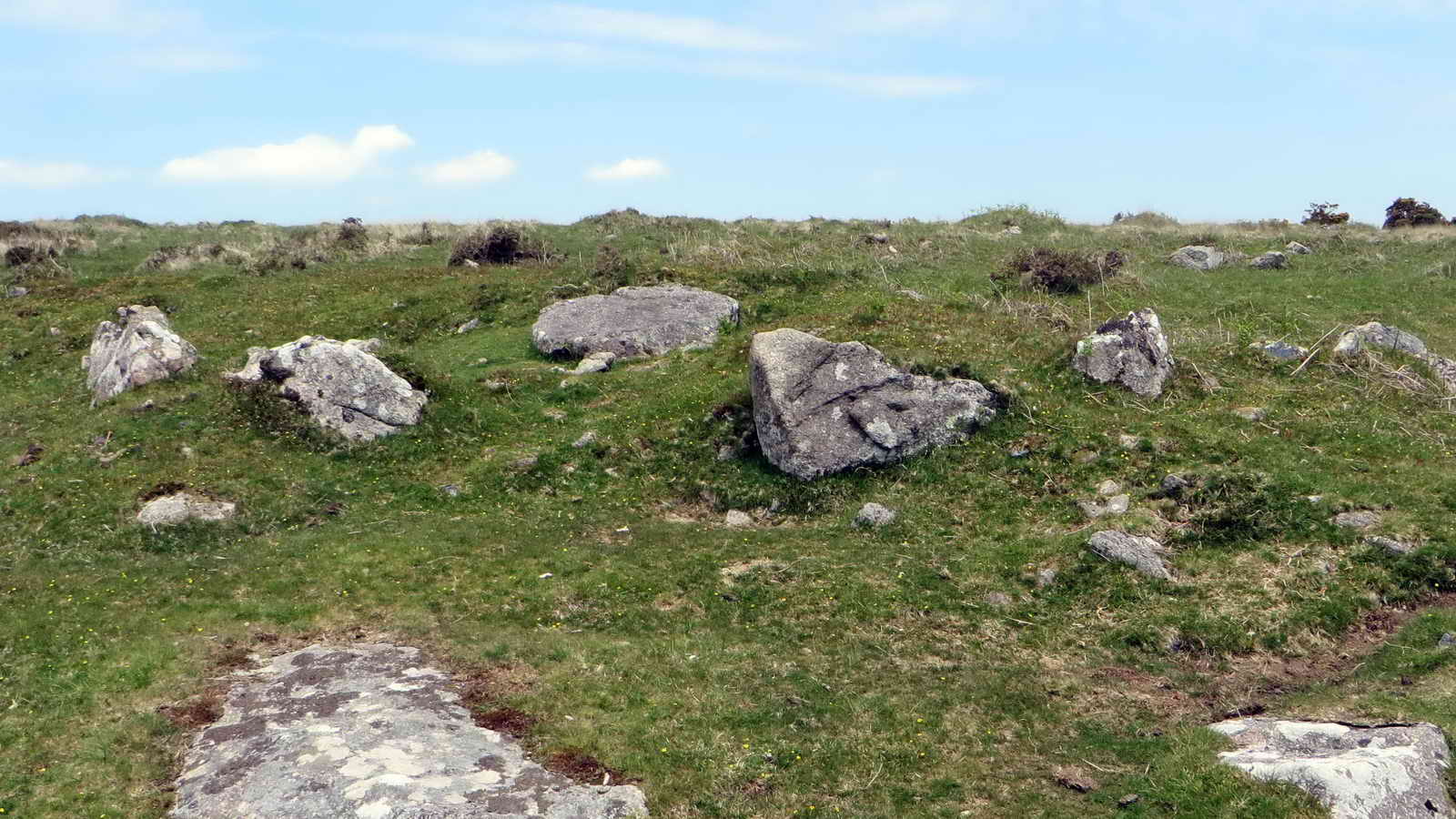
View of the cairn, with the cist in the centre.

Cadover Cross, SX 55327 64715.

Looking down the River Plym from Cadover Bridge .....

Cadover Bridge .....
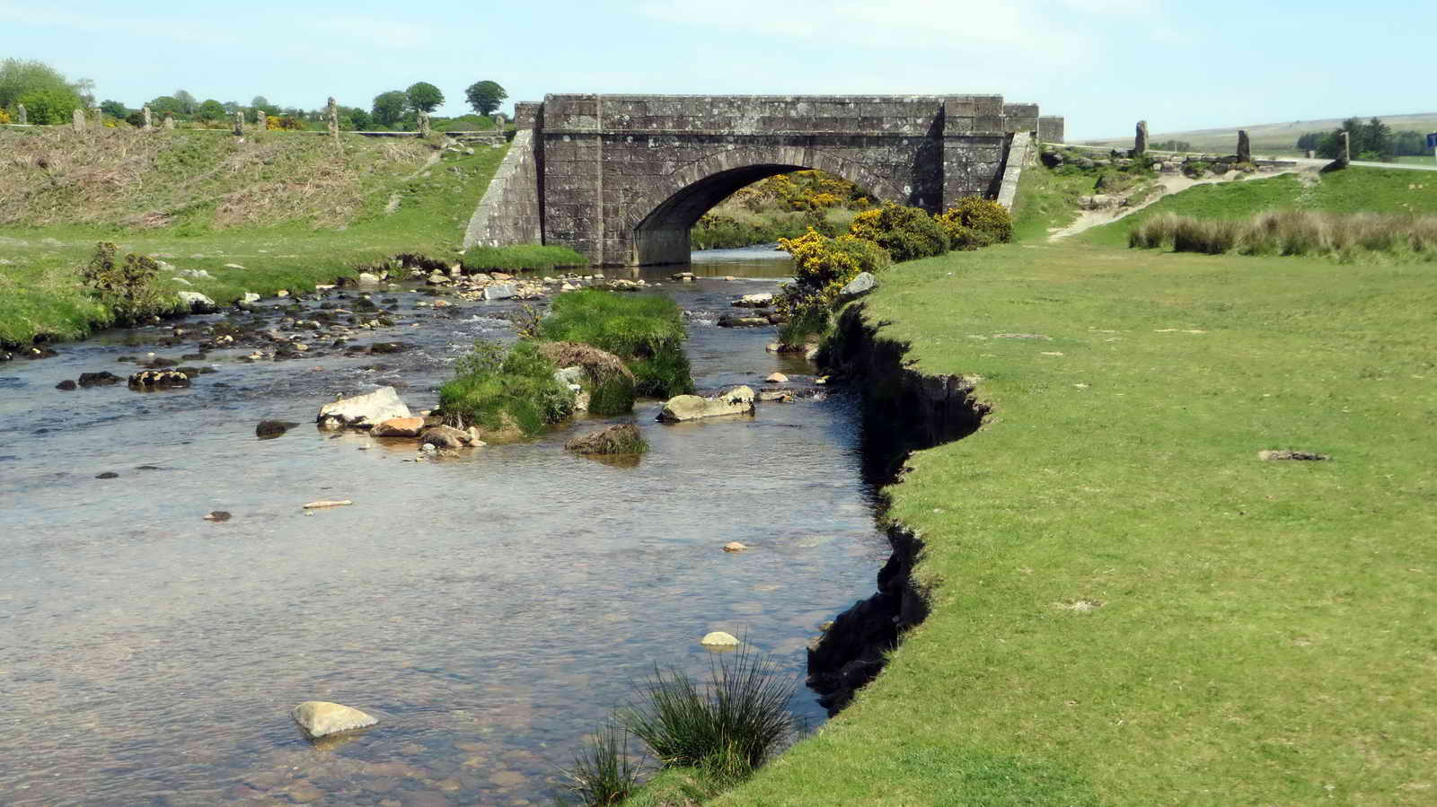
Cadover Bridge ......
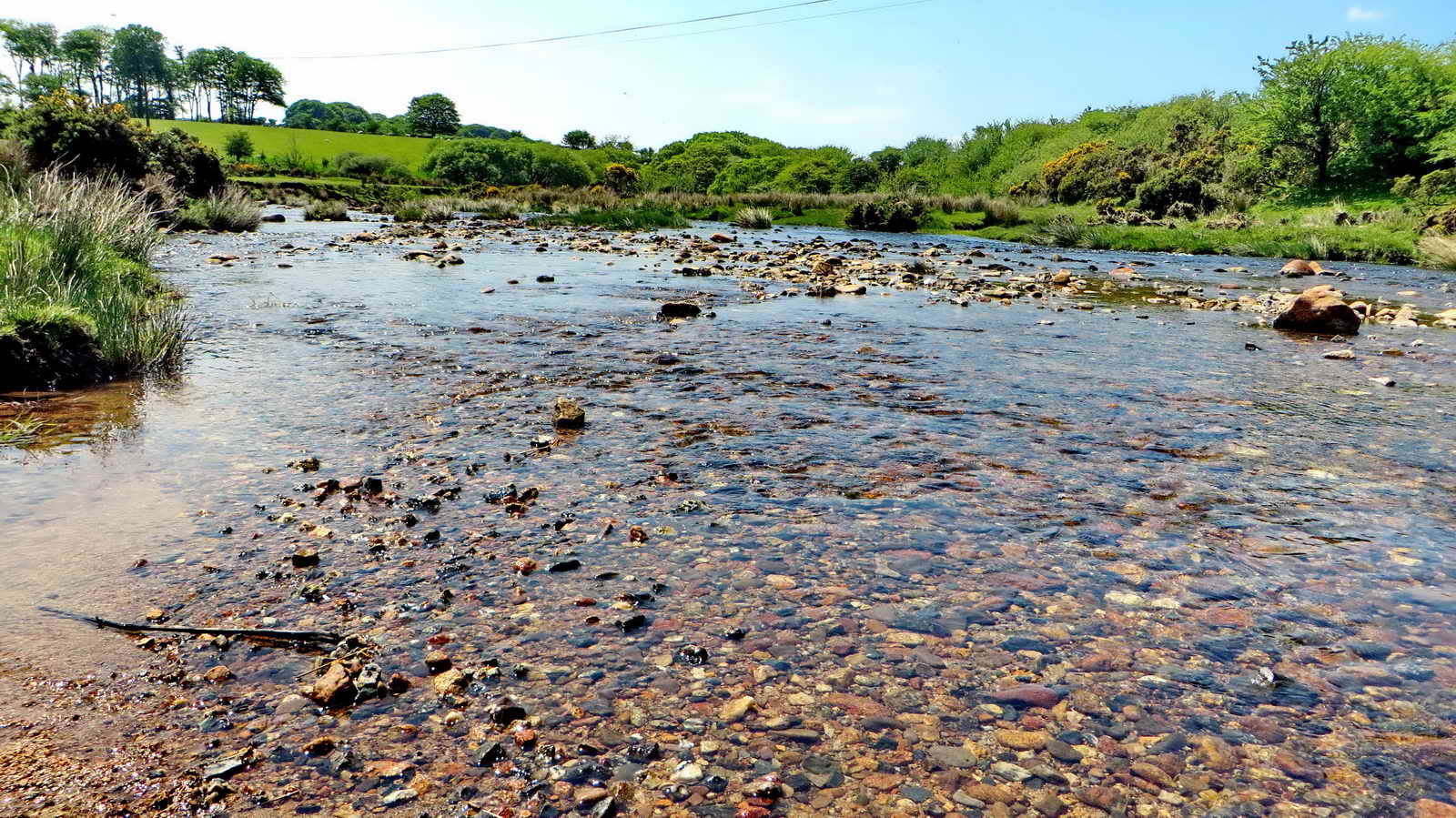
Looking down the Plym again.
MAP: Red = GPS satellite track of the walk.
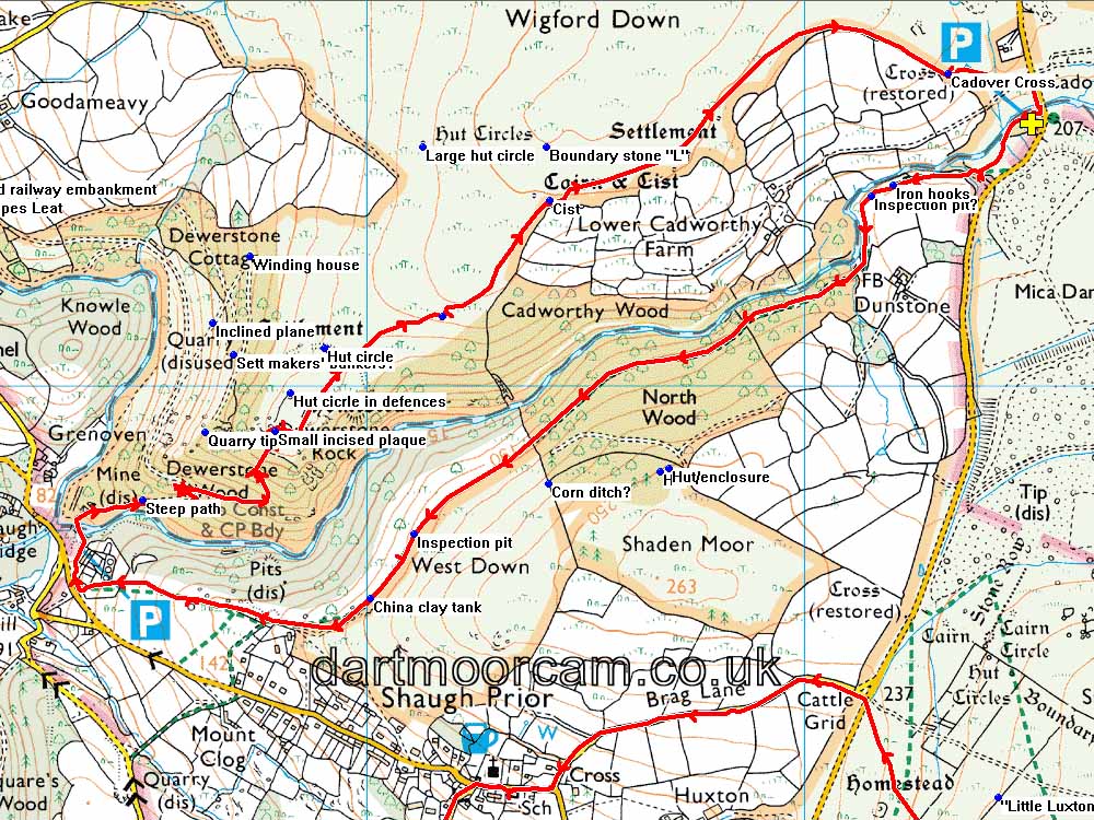
� Crown copyright and database rights 2015. Ordnance Survey
The walk can be accessed easily from Yelverton via Meavy or from Plympton by going past the Elfordleigh hotel. The large car park is a popular tourist (and locals) spot, the car park is at the yellow cross and P symbol on the map. There are also other approaches.
Statistics
Distance - 6.25 km / 3.88 miles.
All photographs on this web site are copyright © 2007-2016 Keith Ryan.
All rights reserved - please email for permissions