|
F11 - Full screen F11 - Normal view Home & Contents |
|
"Alt" + � |
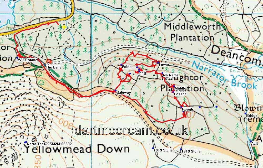
This walk: 2016-4-7. Rough Tor, Lesser Rough Tor, Middle Rough Tor, Rough Tor Rock, Long Rough Tor(?), Great Rough Tor, Lower Rough tor, False Great Rough Tor.
Walk details below - Information about the route etc.
Old map .....
Ordnance Survey, Six-inch to the mile, Published 1886 - showing a label saying "Roughtor Plantation", implying trees were planted here prior to 1886. Plymouth Corporation were planting trees from 1921 (Source: Matthew Kelly (2015), Quartz and Feldspar", Penguin Random House UK, page 250).
Where we walked: Google Satellite view of the area - including the GPS track of the walk (compare with the Ordnance Survey map plus track below)
Previous "Rough Tor" walks in this area: 18th November 2011, 25th January 2012, 28th February 2012, 6th June 2013, 31st March 2016 and 6th April 2016.
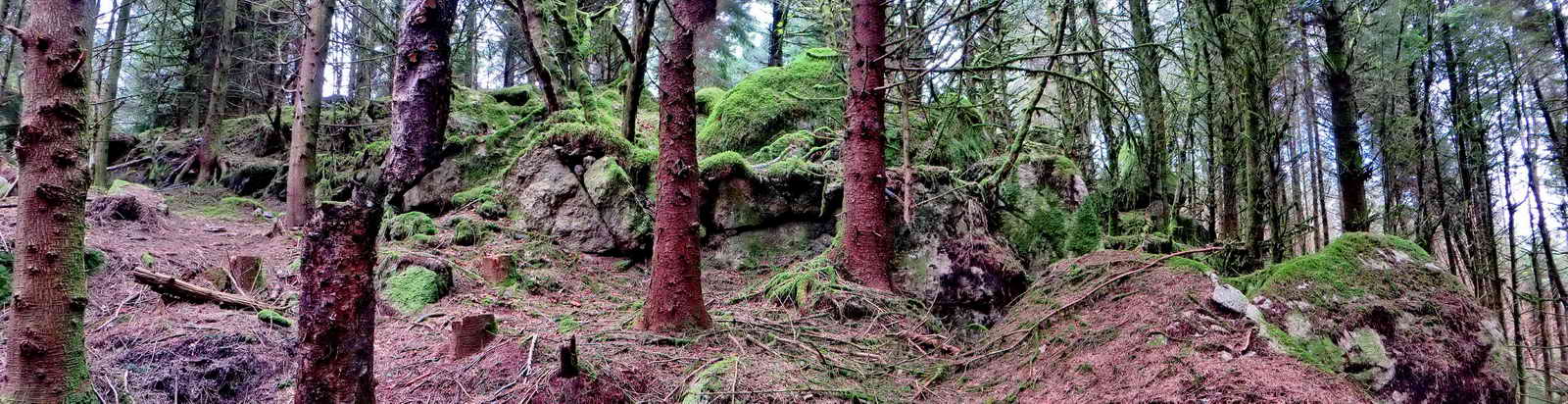
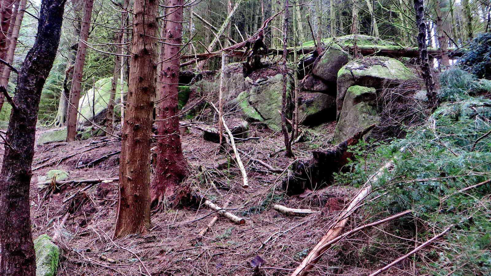
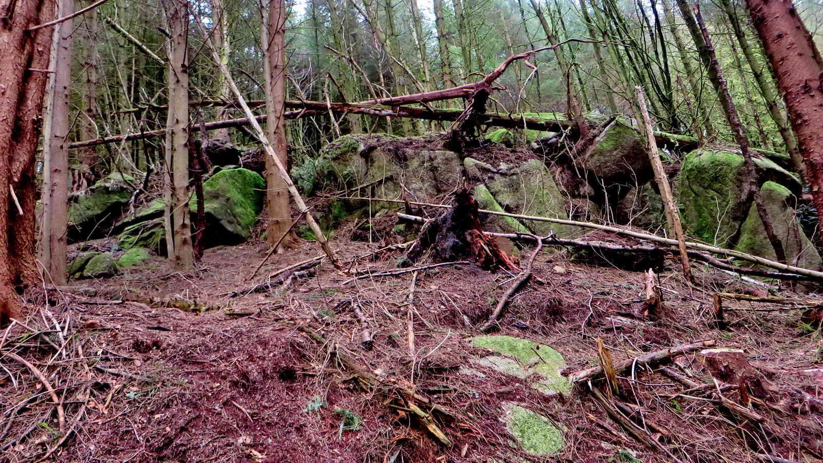
Tors in Roughtor Plantation
| Tor | GPS record | Error | Elevation | Grid Reference | Notes |
| Rough Tor - on hill top | SX 57430 68555 | �3 m | 309 m (1013 ft) | SX 5743 6855 | GPS in centre of the tor |
| Lesser Rough Tor | SX 57391 68627 | �5 m | 298 m (978 ft) | SX 5739 6862 | GPS beside tor |
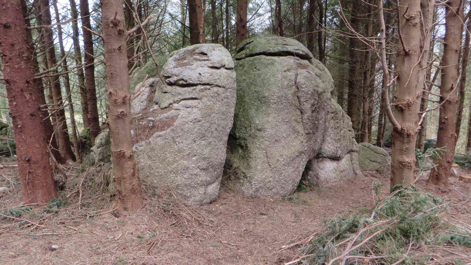
| Middle Rough Tor | SX 57393 68655 | �4 m | 292 m (958 ft) | SX 5739 6866 | GPS on top of tor |
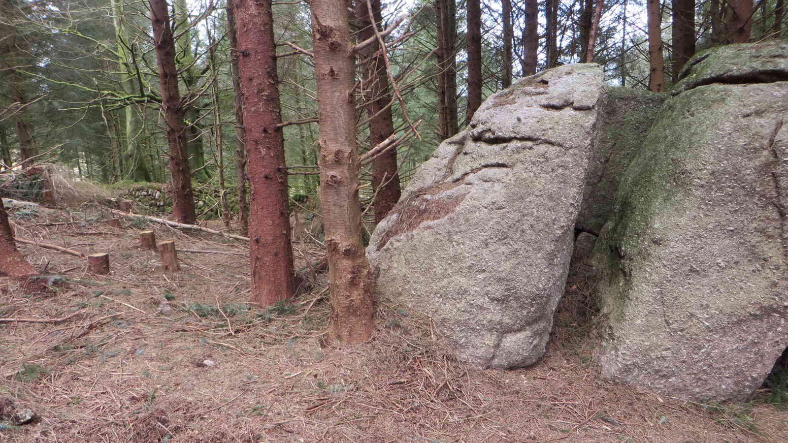
| Rough Tor Rock | SX 57350 68708 | �4 m | 275 m (902 ft) | SX 5735 6871 | GPS at base of rock |
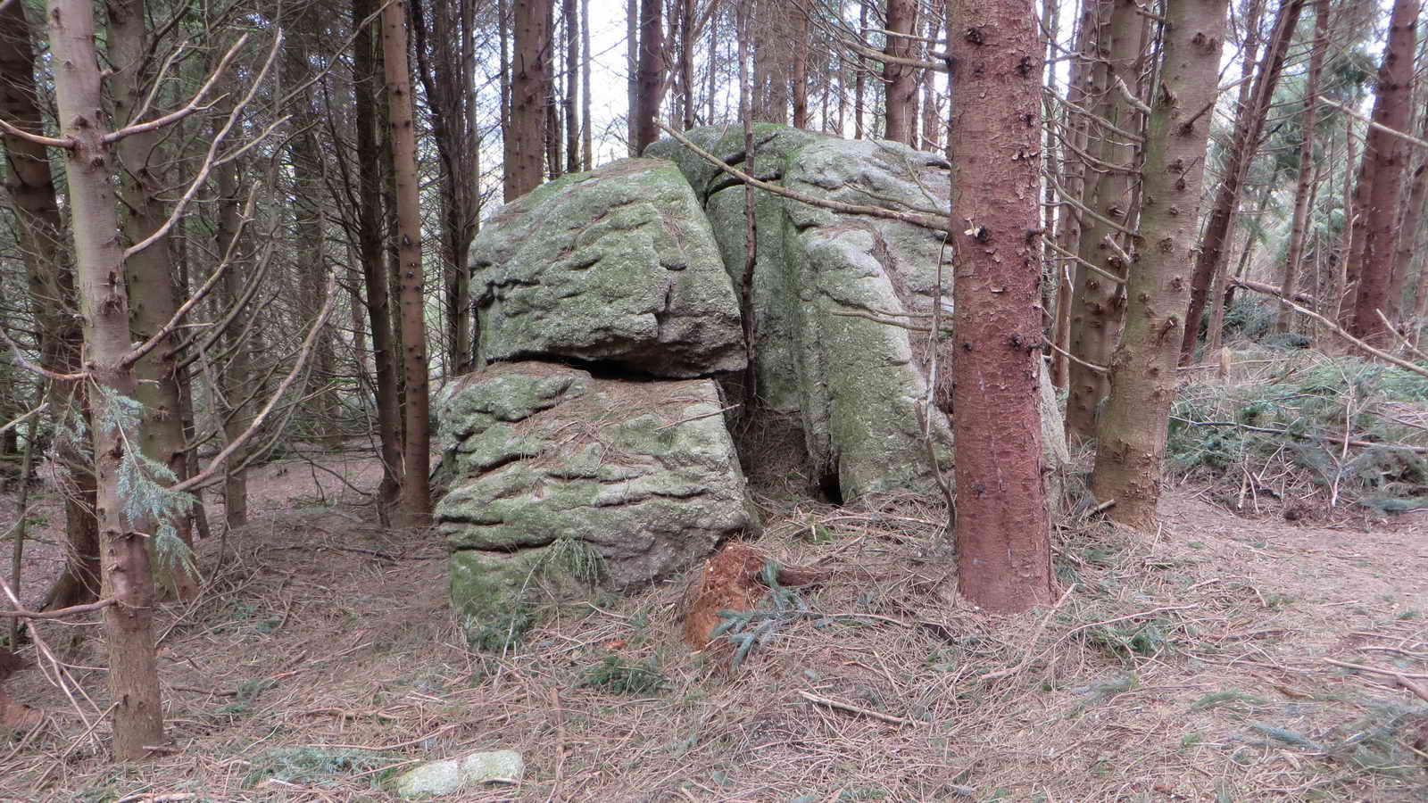
| New tor mear to Rock = Long Rough Tor? | SX 57339 68716 | �5 m | 272 m (892 ft) | SX 5734 6872 | GPS at base |
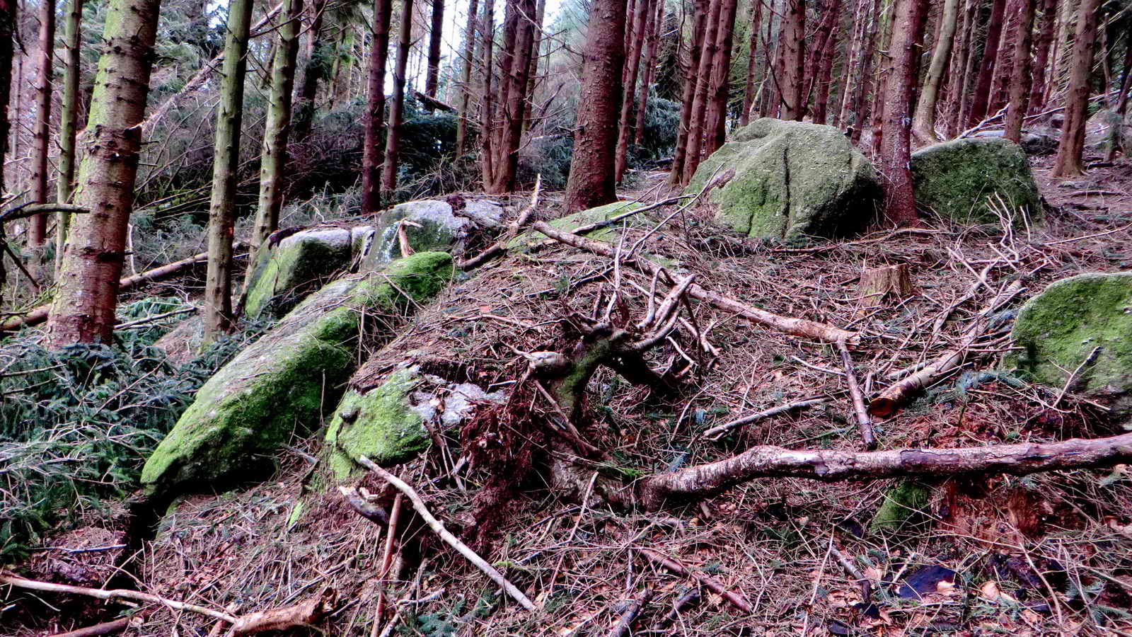
| Great Rough Tor - base | SX 57211 68723 | �7 m | 273 m (895 ft) | SX 5721 6872 | GPS at base |
| Great Rough Tor - top | SX 57228 68724 | �8 m | 282 m (925 ft) | SX 5723 6872 | GPS at top |
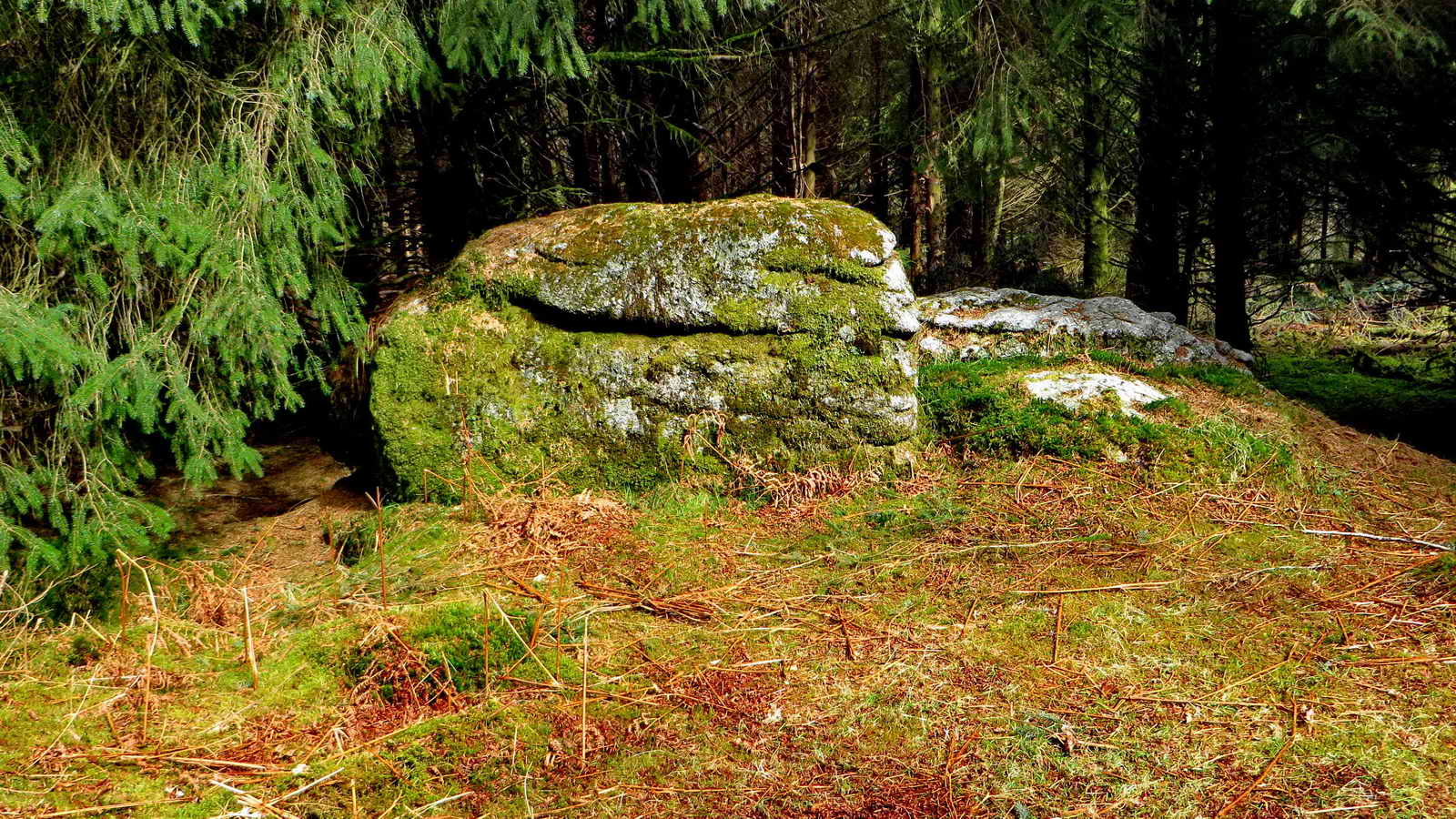
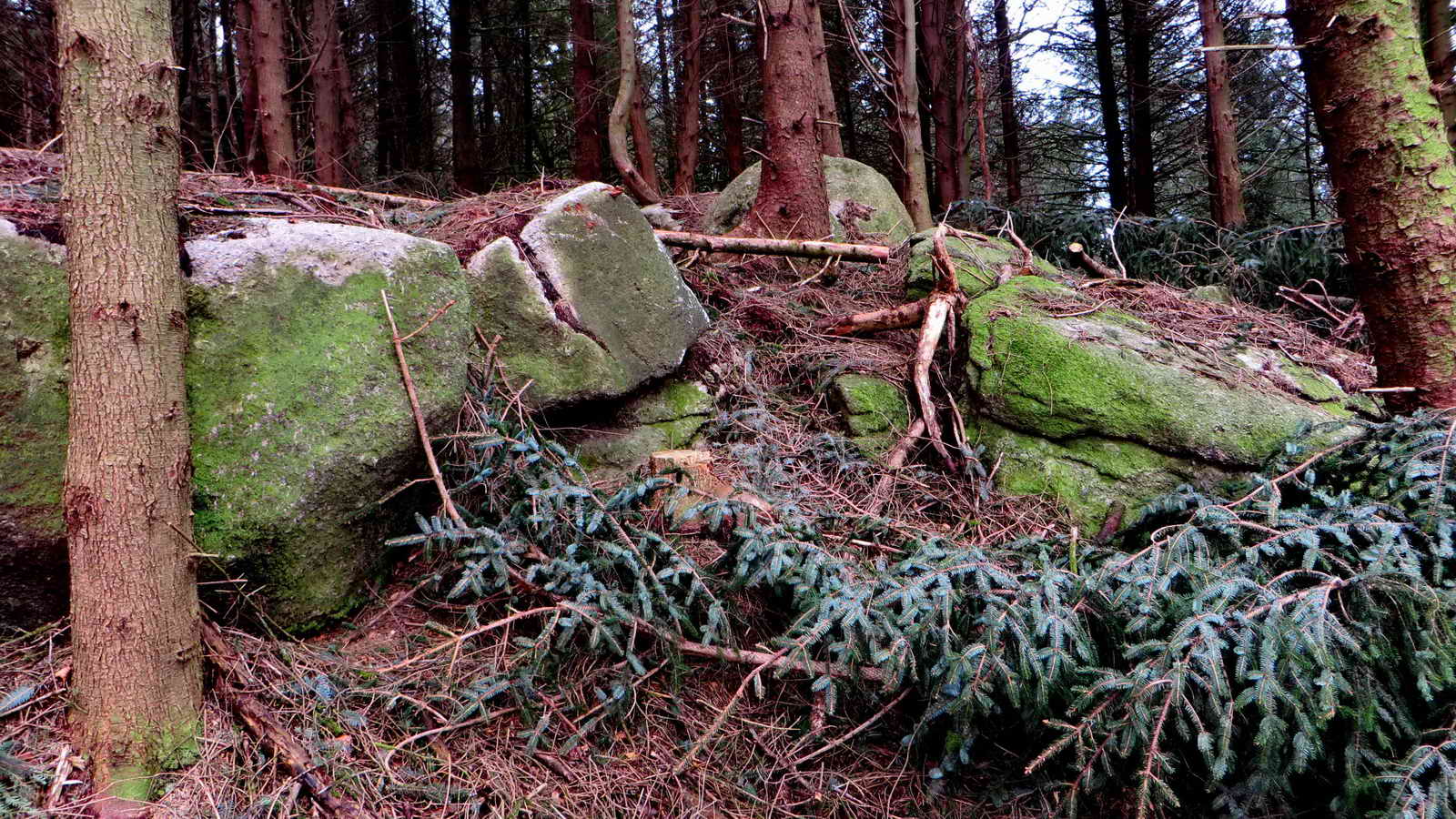
| Lower Rough Tor | SX 57391 68622 | �7 m | 250 m (820 ft) | SX 5739 6862 | GPS at base |
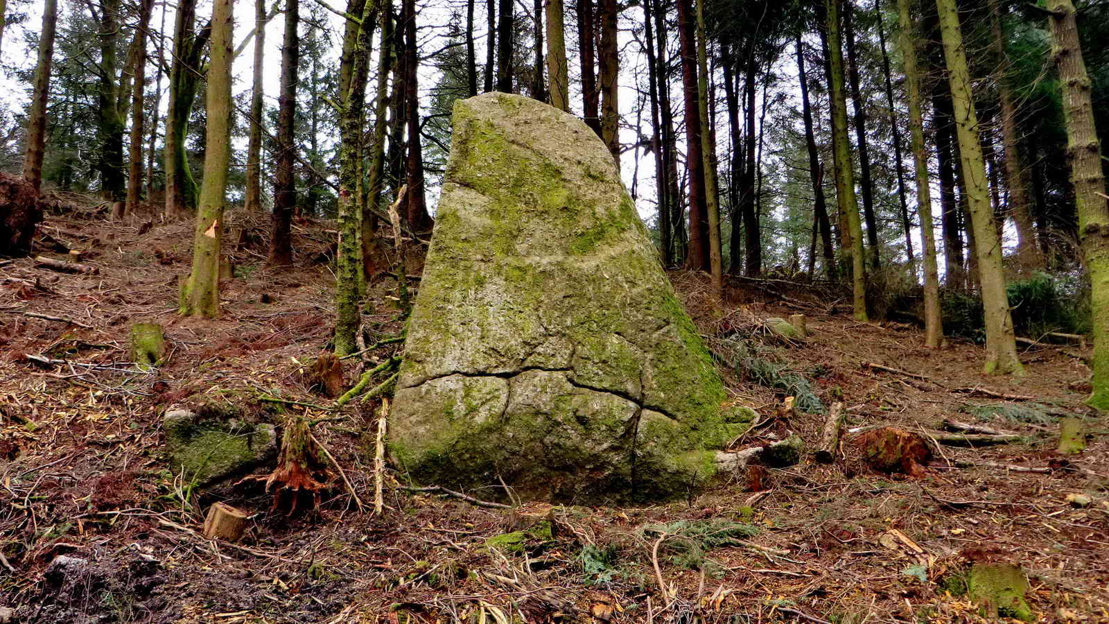
| False Great Rough Tor | SX 57148 68763 | �8 m | 265 m (869 ft) | SX 5715 6876 | GPS at base |
1. Rough Tor, on the hill top .....
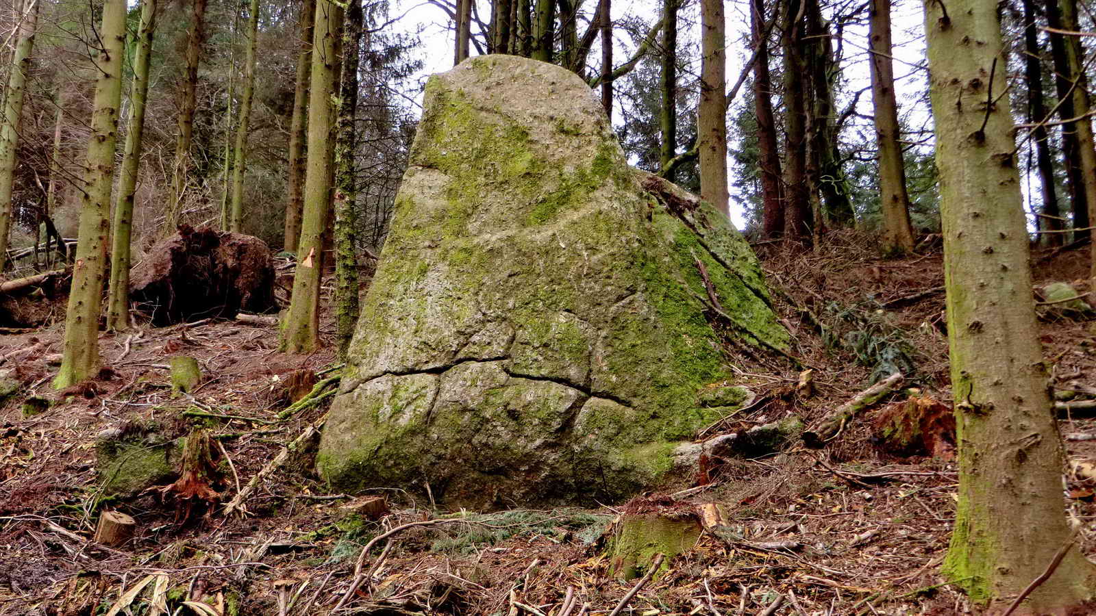
2. Rough Tor.
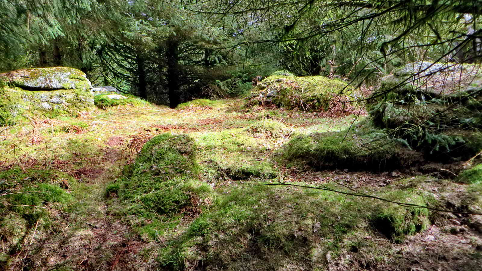
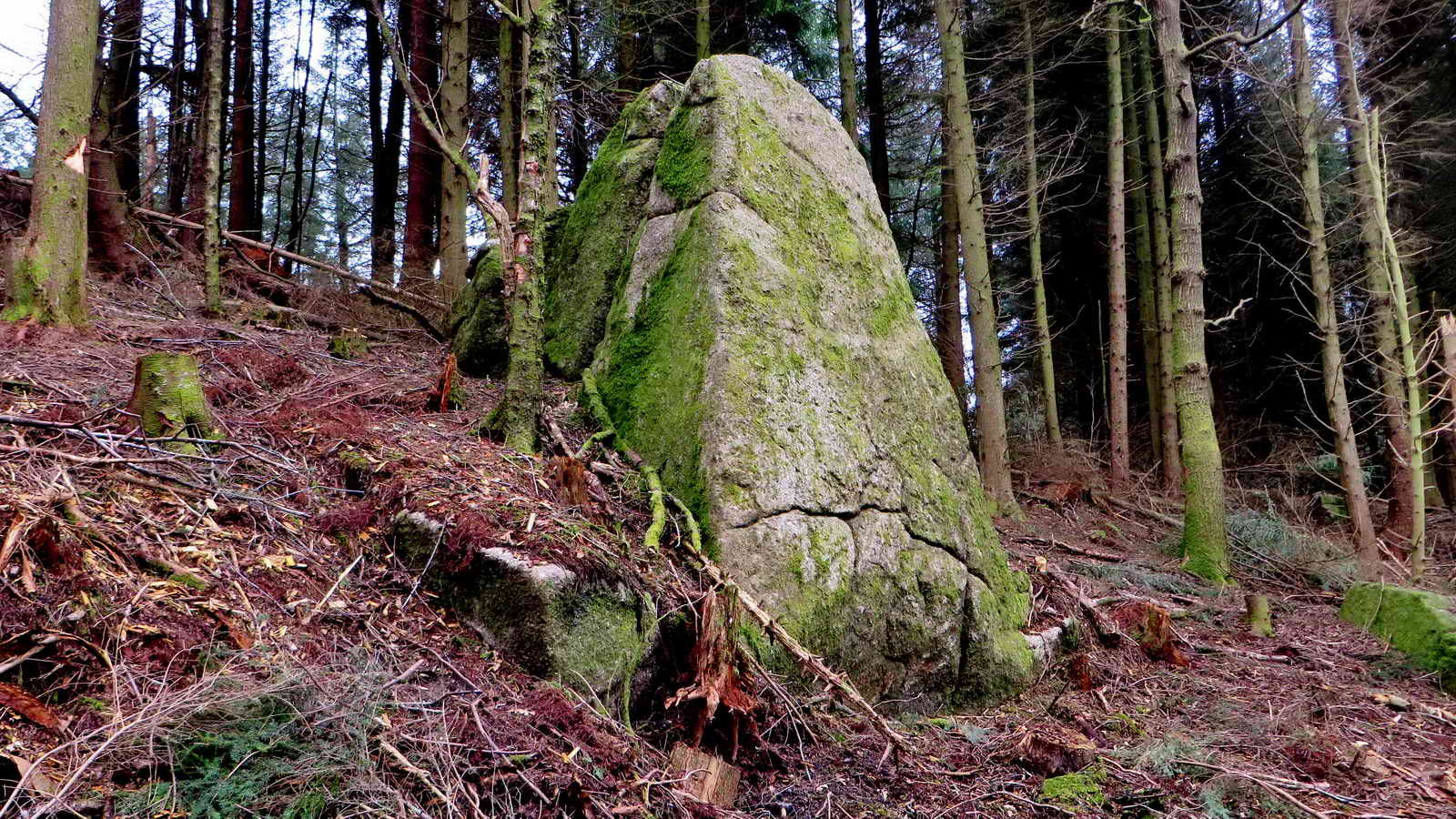
3. Lesser Rough Tor .....
4. Lesser Rough Tor .....
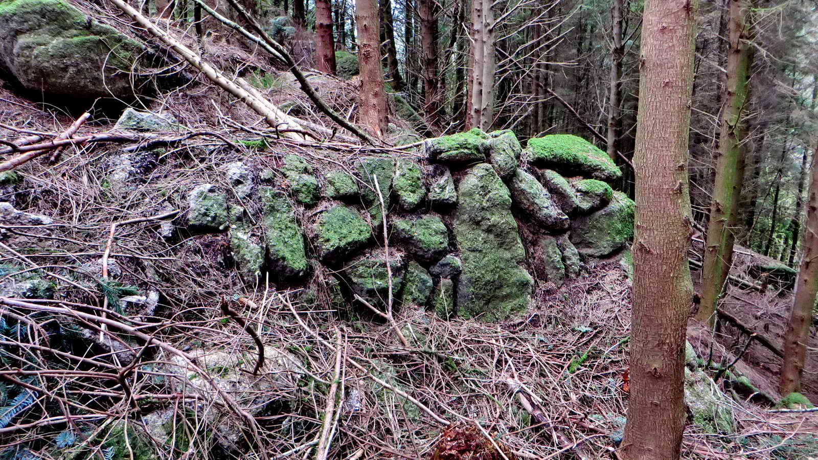
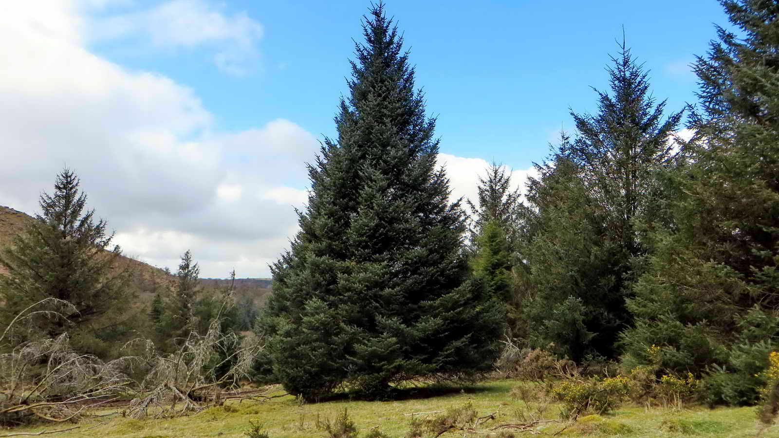
5. Lesser Rough Tor, showing the proximity of a wall.
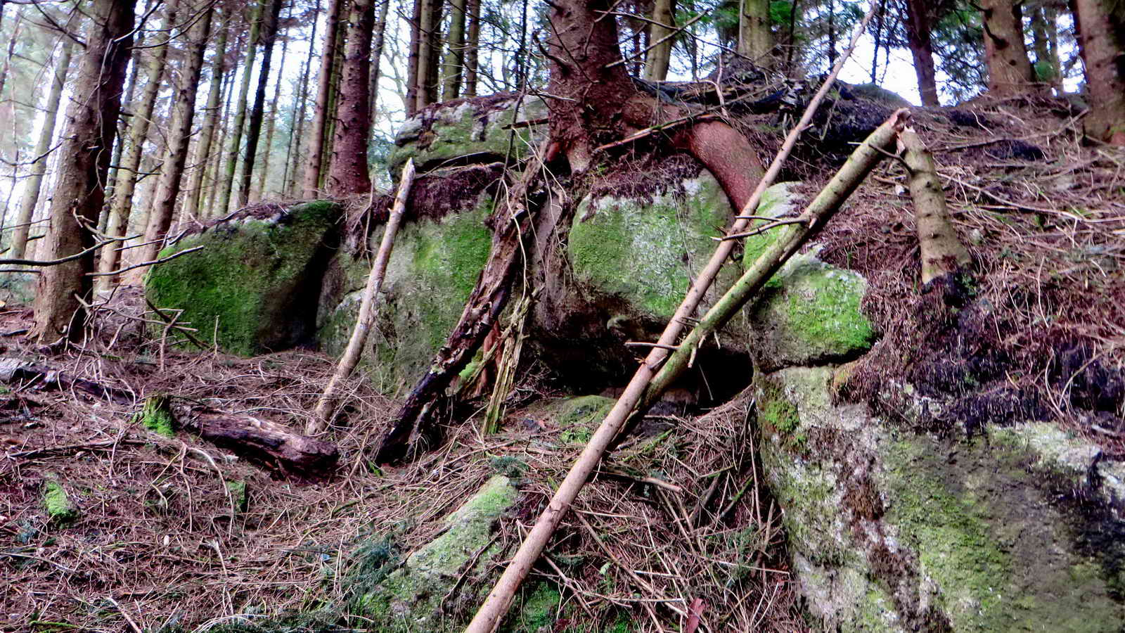
6. Middle Rough Tor .....
7. Middle Rough Tor.

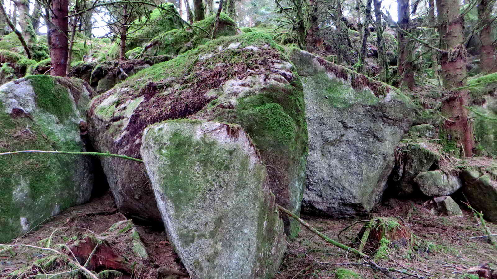
8. Rough Tor Rock, with a 6ft 2 ins scale bar .....
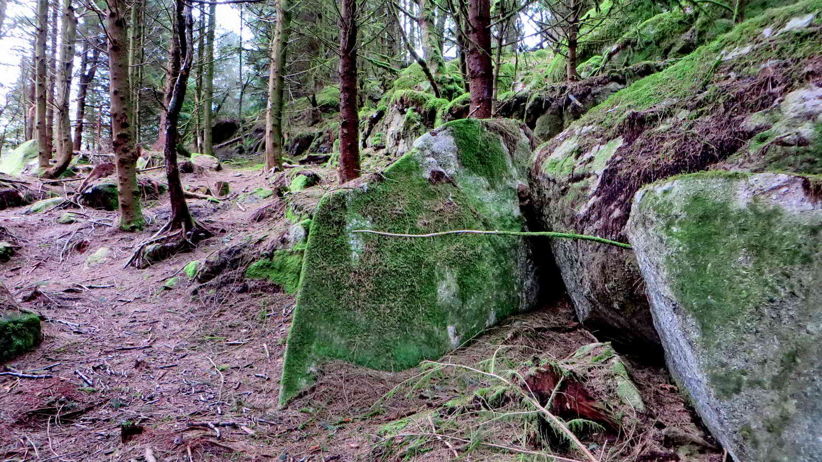
9. Rough Tor Rock .....
10. Rough Tor Rock .....
11. Rough Tor Rock.
12. New tor close to Rock = No Name - Long Rough Tor .....
13. New tor close to Rock = No Name - Long Rough Tor?
14. New tor close to Rock = No Name - Long Rough Tor?
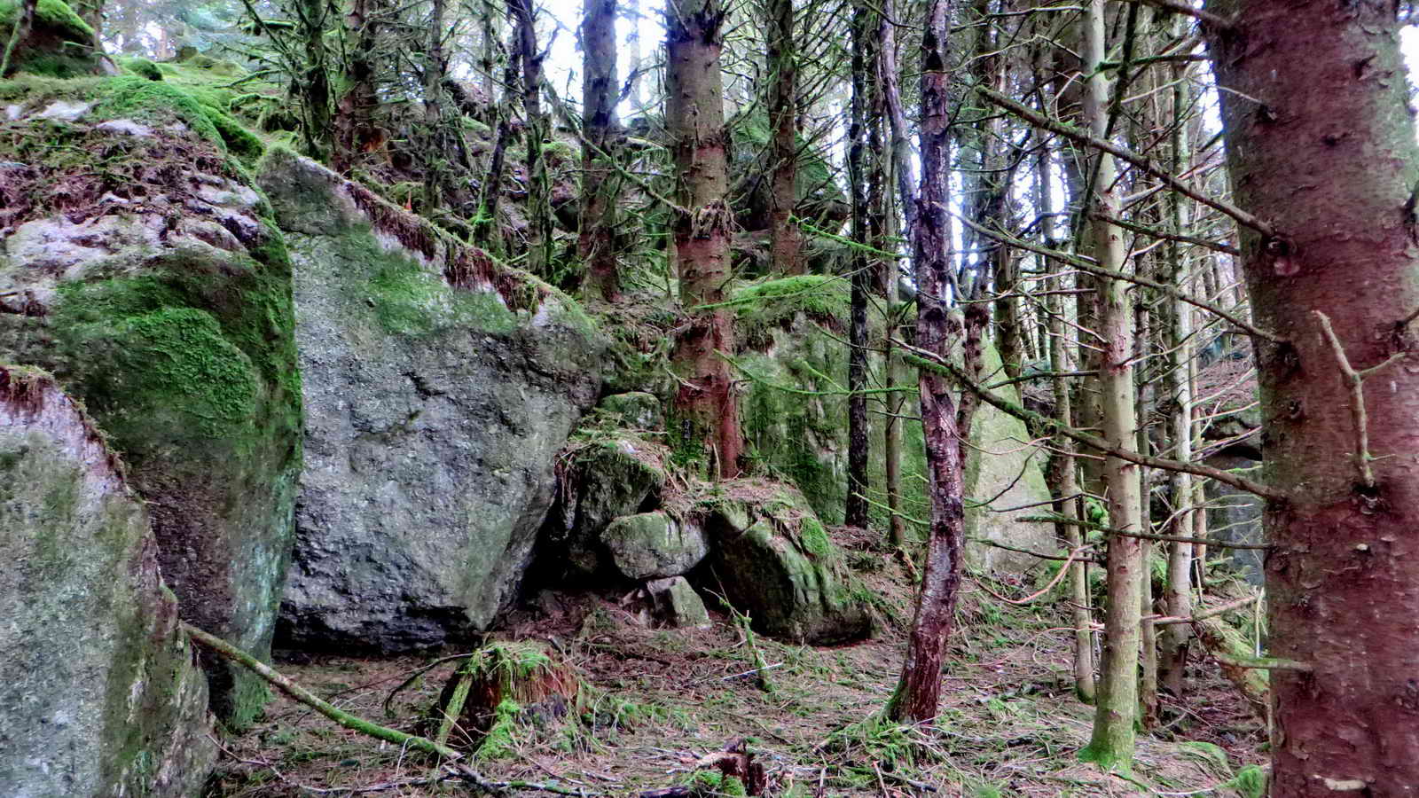
15. New tor close to Rock = No Name - Long Rough Tor
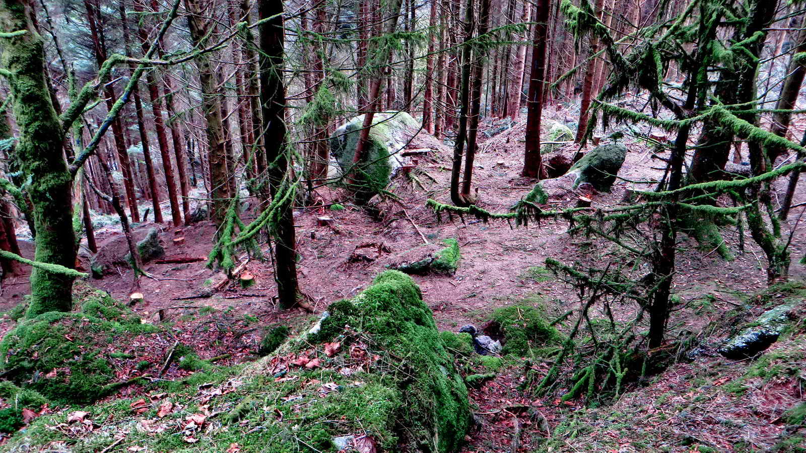
16. Looking down on Great Rough Tor .....
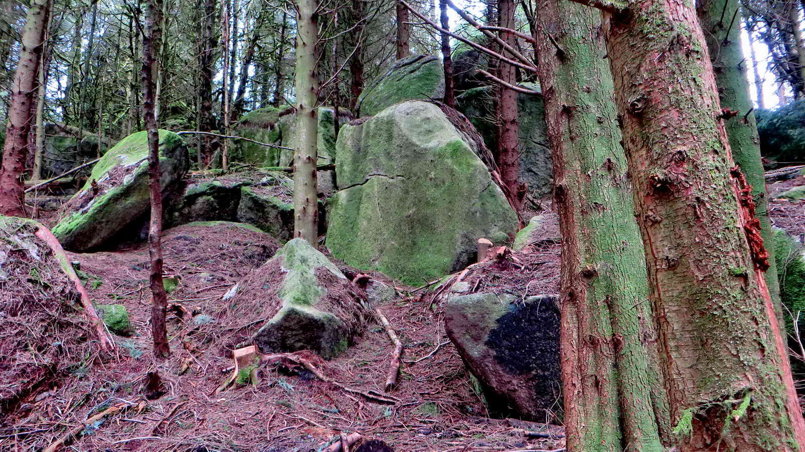
17. Great Rough Tor .....
18. Great Rough Tor
19. Lower Rough Tor .....
20. Lower Rough Tor.

21. False Great Tor ....
22. False Great Rough Tor.
23. False Great Rough Tor - manmade wall.
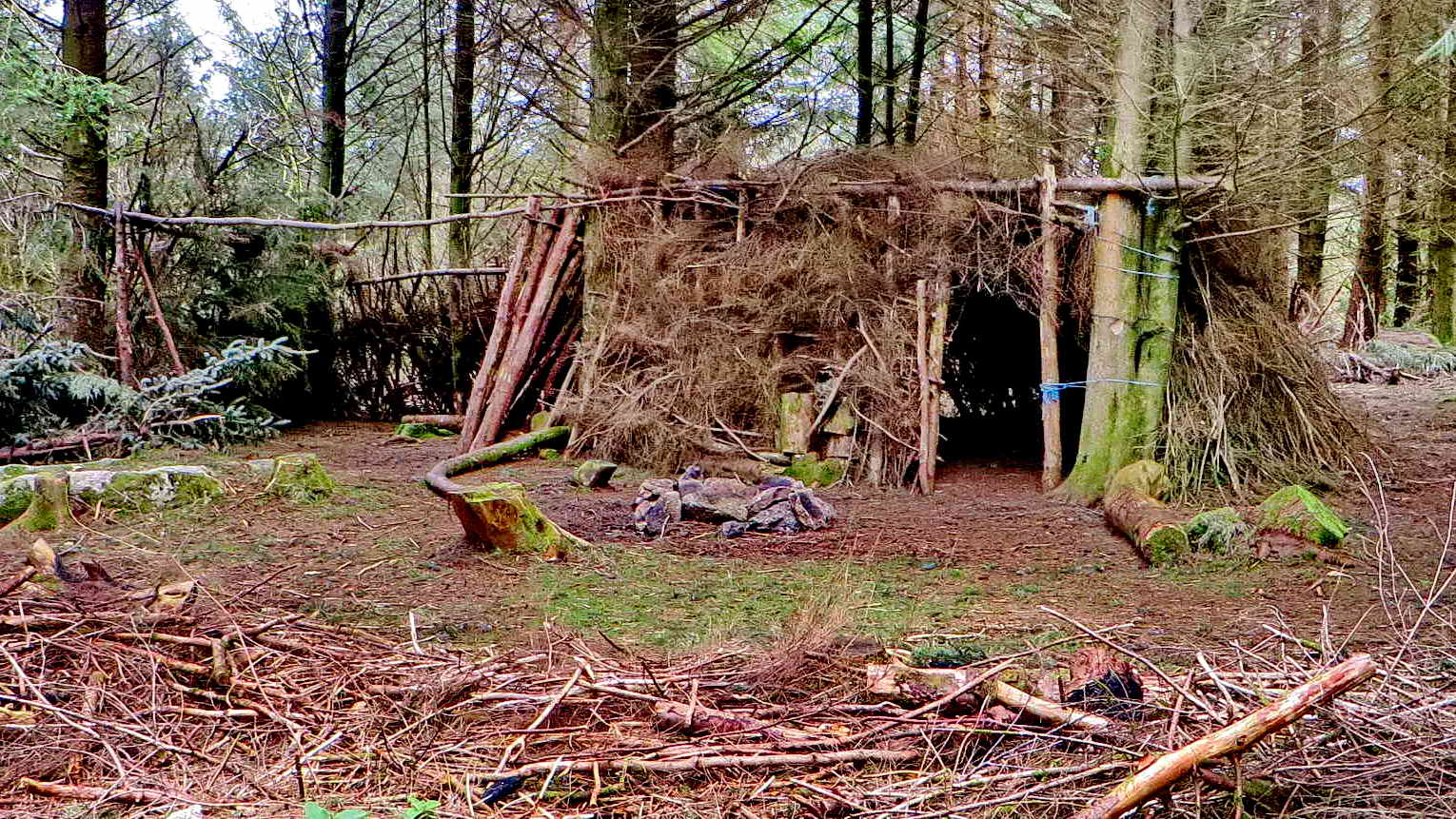
24. Large shelter.
25. Believed to be a specimen sitka spruce i.e. not an artificially tall plantation version: note the classical conical shape, similar to a specimen Lawson's cypress (not a Leyland cypress).
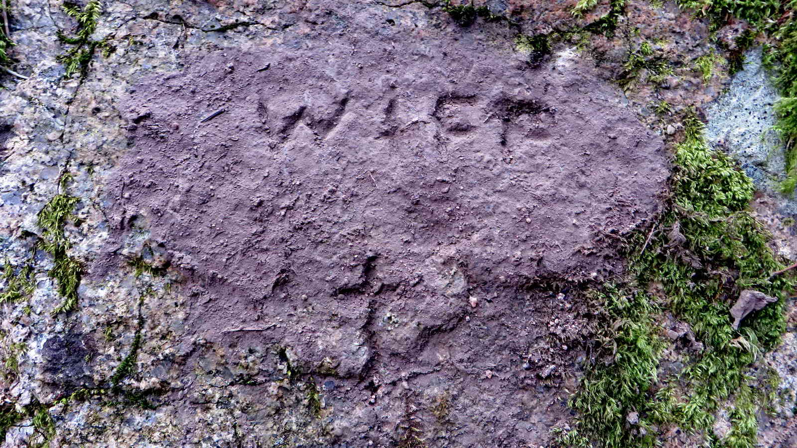
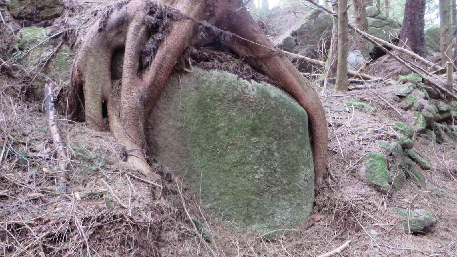
26. The WIFF Stone, covered with now-dry mud from two days ago, note the RIP cross at the bottom of the mud.
MAP: Red = GPS satellite track of the walk.
© Crown copyright and database rights 2015. Ordnance Survey
Use of this data is subject to terms and conditions.
Also, Copyright © 2005, Memory-Map Europe, with permission.
