|
F11 - Full screen F11 - Normal view Home & Contents |
|
"Alt" + � |
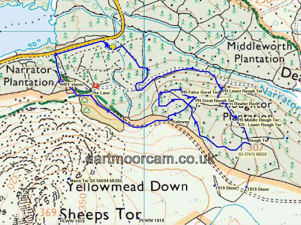
This walk: 2016-4-5. Rough Tor, Lower Rough Tor x 2, Middle Rough Tor, False Great rough Tor, Great Rough Tor, Rough Tor Rock.
Old map .....
Ordnance Survey, Six-inch to the mile, Published 1886
Where we walked: Google Satellite view of the area - including the GPS track of the walk (compare with the Ordnance Survey map plus track below)
-
try zooming in with the mouse thumbwheel and "dragging" the map to see points of interest
-
click on the red place-markers to read their label - they are most accurate at the highest zoom level
-
try "mousing" over the list of placemarks on the left of the screen, highlights their place on the map
-
use browser back arrow or Alt key and left-arrow cursor key together to return to normal web page.
Previous "Rough Tor" walks in this area: 18th November 2011, 25th January 2012, 28th February 2012, 6th June 2013 and 31st March 2016.
Tors in Roughtor Plantation
| Rough Tor - on hill top | SX 57430 68557 | 307 m (1007 ft) |
| Lower Rough Tor (KR) | SX 57391 68622 | 296 m (971 ft) |
| Middle Rough Tor (PR) | SX 57385 68641 | 295 m (967 ft) |
| Rough Tor Rock (PR) | SX 57344 68708 | 272 m (892 ft) |
| Great Rough Tor (PR) | SX 57211 68723 | 276 m (905 ft) |
| False Great Rough Tor (PR) | SX 57155 68757 | 270 m (885 ft) |
| Lower Rough Tor (PR) | SX 57391 68622 | 251 m (823 ft) |
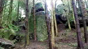
Part of Great Rough Tor.
Rough Tor Rock.
Lower rough Tor (KR).
WIFF Stone, SX 56649 68790 .....
Close-up .....
Smeared with mud.
MAP: Blue = GPS satellite track of the walk.

© Crown copyright and database rights 2015. Ordnance Survey
Use of this data is subject to terms and conditions.
Also, Copyright © 2005, Memory-Map Europe, with permission.


