![]()


This walk: 2014-9-4. Dor beetle, Birch Tor & Vitifer mine, Golden Dagger mine, gerts, lodes, sallow, Redwater Brook, wheelpit, elder, Birch Tor, teasle, miners' dry, buddle, bee hives, Dinah's House, lynchets, robin, leat, Warren House Inn, aqueduct embankment, heather.
Walk details below - Information about the route etc.
Link to Google Satellite view of the area - including the GPS track of the walk (compare with the Ordnance Survey map plus track below)
try zooming in with the mouse thumbwheel and "dragging" the map to see points of interest
click on the blue place-markers to read their label
use browser back arrow or Alt + � i.e. Alt key and left-arrow cursor key together to return to normal web page.
Previous walks in this area: 12 Feb. 2009, 29 Aug. 2012 & 9th July 2014.
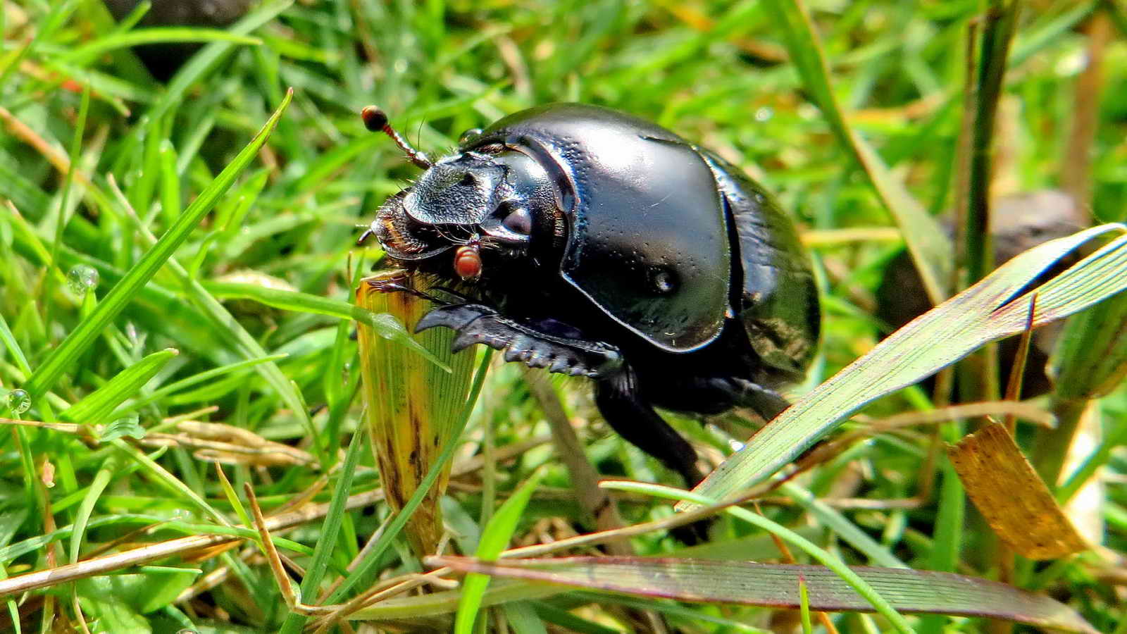
Dor beetle, Geotrupes stercorarius, a common dung beetle .....
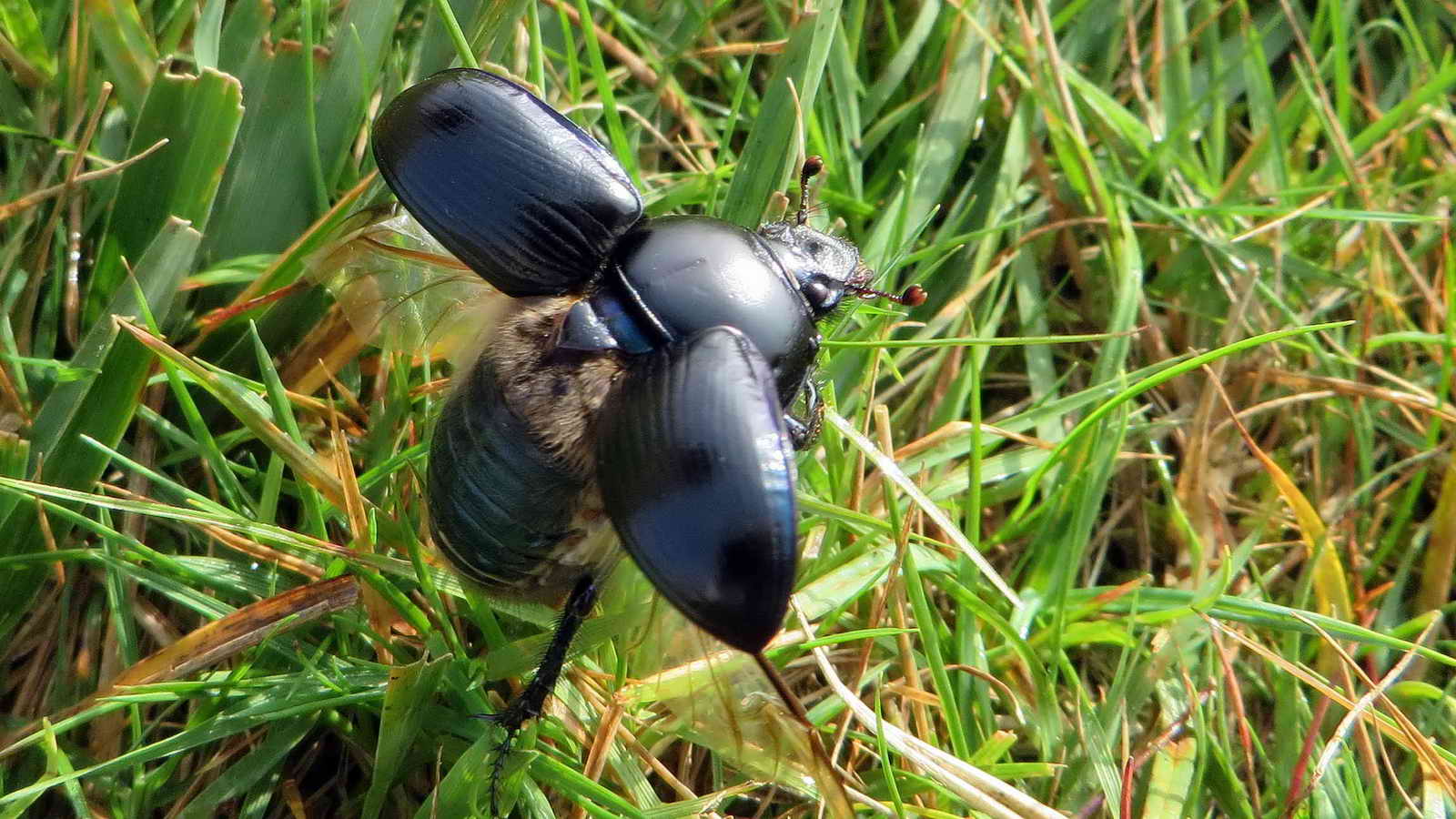
Prior to take-off.

The track from the Bennett's Cross area down towards Birch Tor and Vitifer mines.

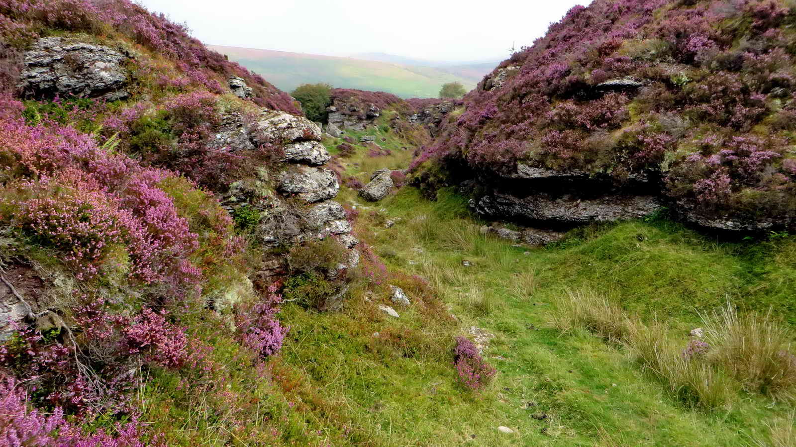
The first gert encountered, North Lode .....

The second gert encountered, Hambley's Lode; behind a slightly further south of this viewpoint on the track would be the Ace of Diamonds (aka Heath Close) enclosure.

The track south with a blind 'bay' on the right .....

Looking into the blind bay just south of Hambley's / Hambly's Lode.
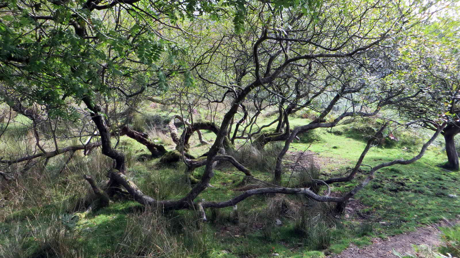
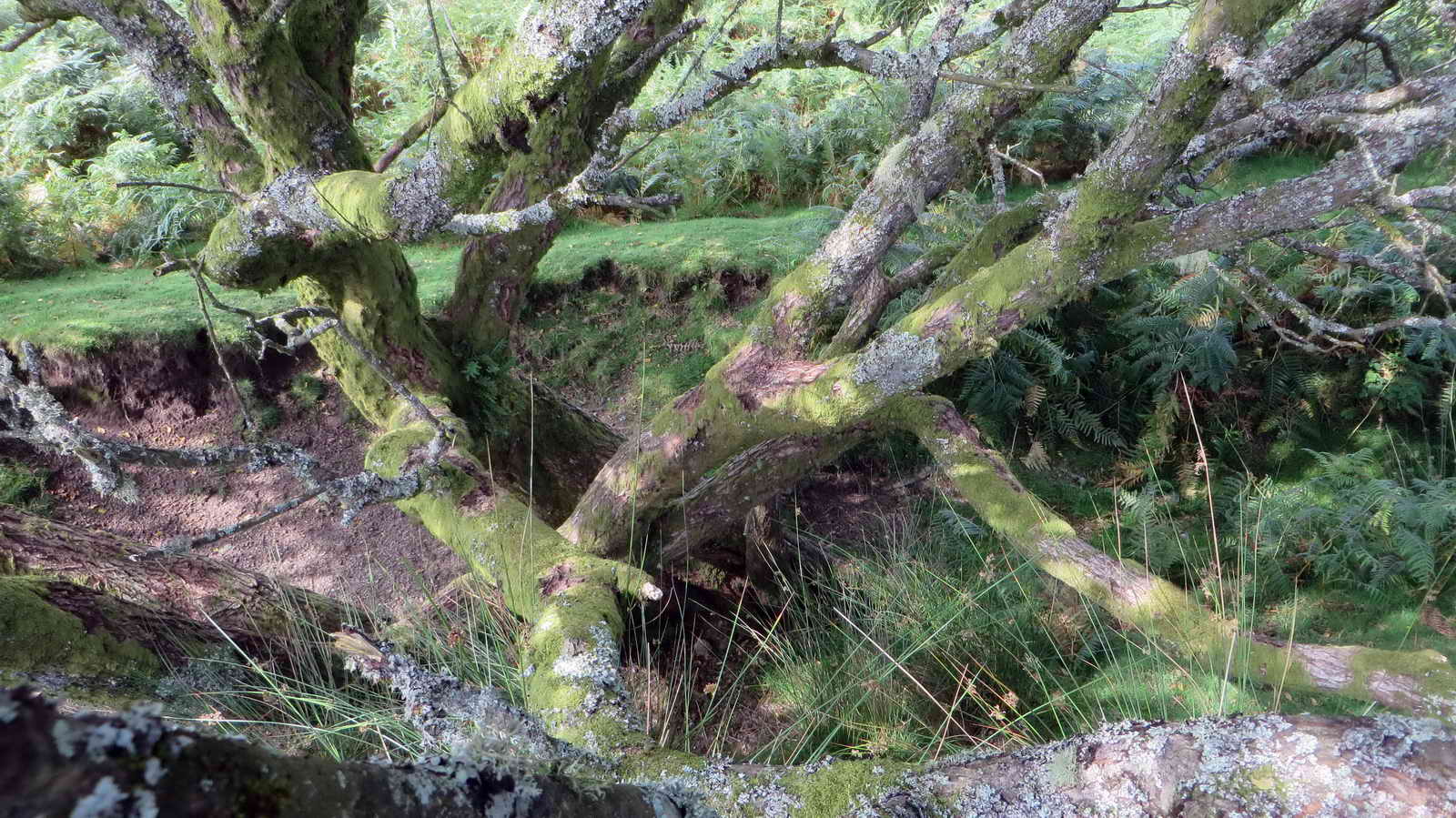
Recumbent willow, presumed to be a sallow:
"goat willow and other broader-leafed species of willow (including grey willow) are sometimes referred to as 'sallows'. Goat willow is known as �great sallow� and grey willow as �common sallow�. Both species are also sometimes called 'pussy willow' after the silky grey male flowers, which resemble cats' paws."

Area of the origin of Redwater Brook - adjudged from the sound of running water!

Deep wheel pit at SX 68174 81219, caution if exploring - it is deep!
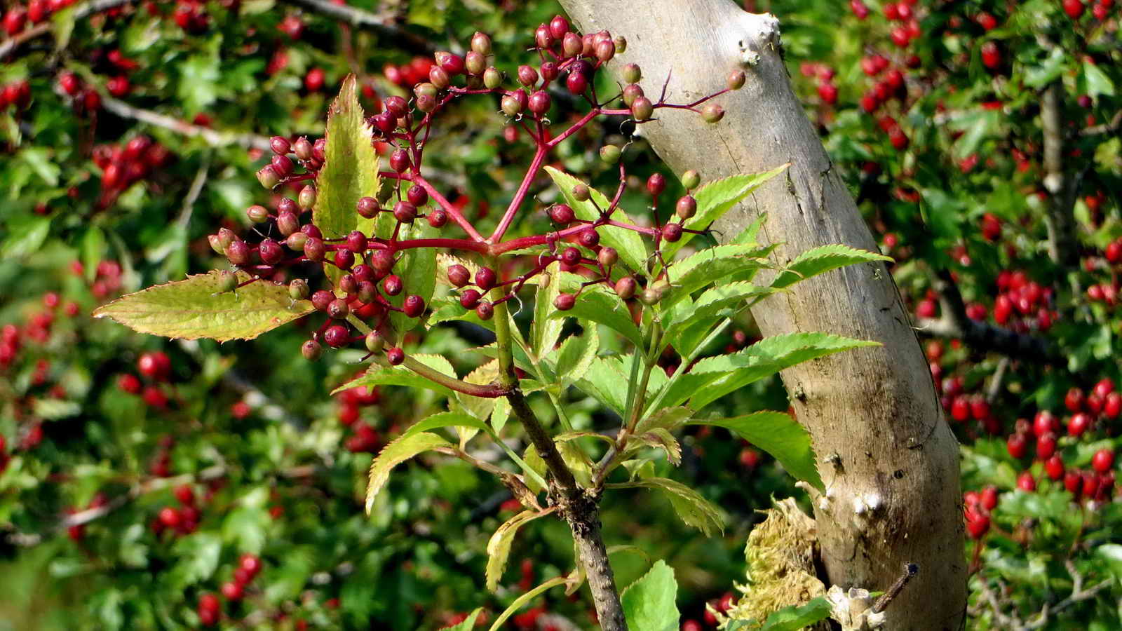
Developing elder berries, Sambucus nnigra.

Birch Tor, SX 687 814, elevation 487 metres (1574 feet).
 Image © J Butler 1994. Reproduced by kind permission (ref. 29 Sept. 2012).
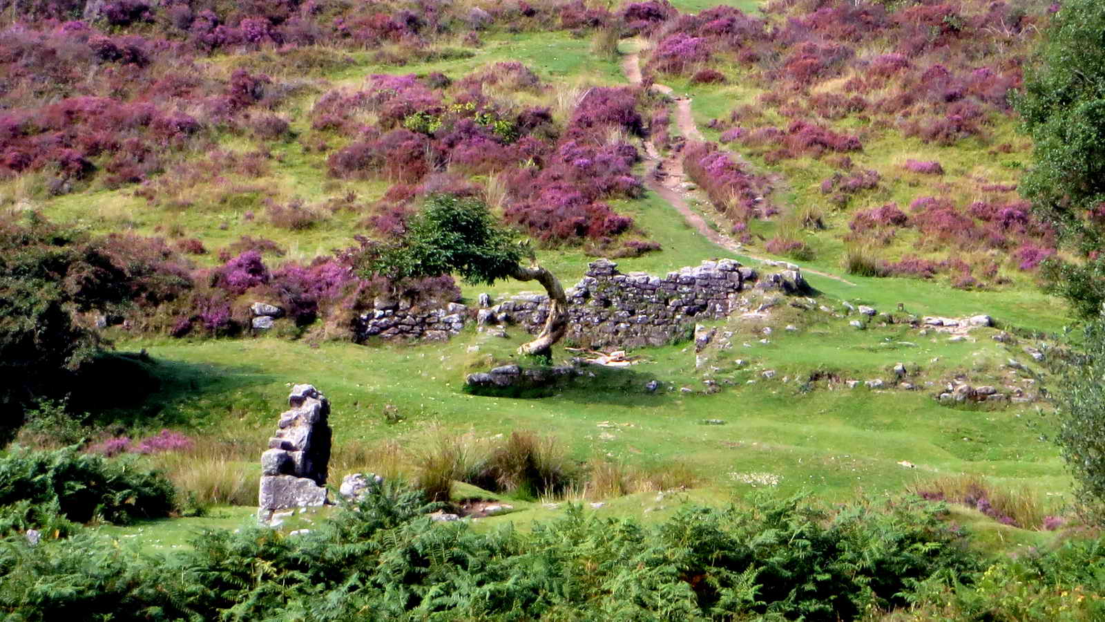
Following photographs are of the Golden Dagger, Birch Tor & Vitifer mines, described in detail by J. Butler (1991), Dartmoor Atlas of Antiquities II, The North. 24.5-8 The Redwater Brook and Golden Dagger Mine (fig. 24.5) and 24.9 Birch Tor and Vitifer Mines (fig. 24.5), pages 21-25. The figure above shows the Four Aces enclosures.
|

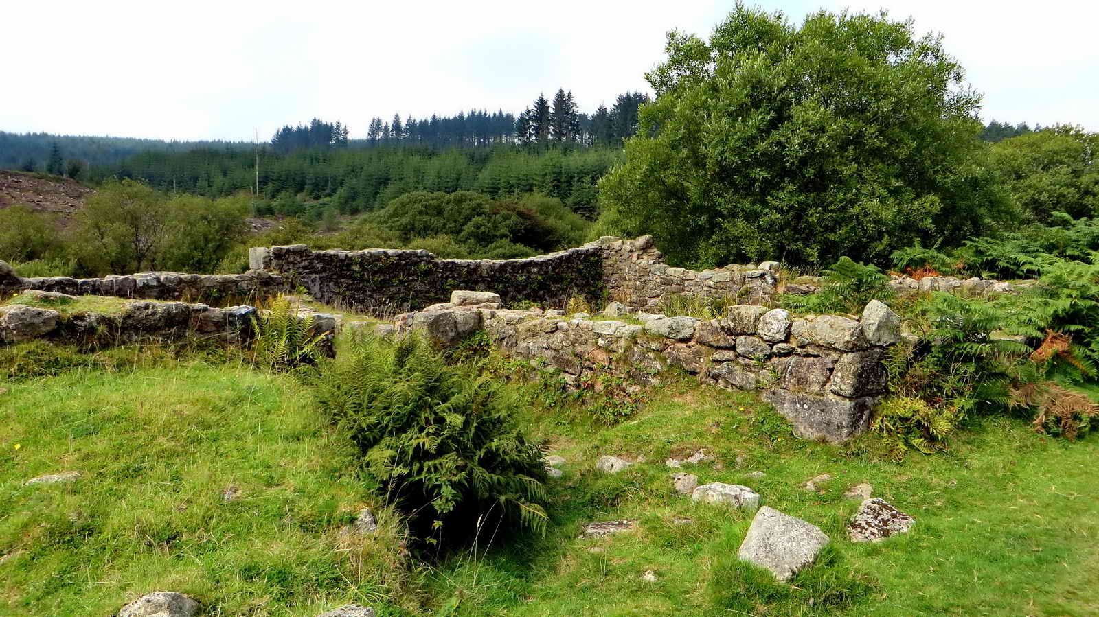
Enclosure wall alongside the track to the dormitory (above the kitchen and canteen) of the Birch Tor mine ......

The kitchen, canteen and dormitory .....

Also here was the mine captain's house and a cottage.

Further along the track are the mining offices, a bungalow for miners and their families and the managers house: we didn't proceed far enough along this track to see the latter.
Zoomed view across the Redwater valley to the carpenter's shop (the ruined standing wall) and, behind it, the long building divided into five rooms among which were the blacksmith's shop and miners' 'dry'. of the Vitifer Mine, worked in 1750. Behind it can be seen the bridle path to the Warren House Inn and nearby car park.
Birch Tor and Vitifer produced some 1500 tons of ore between them in the period 1861 and 1877 (Hemery, page 615).
Probable edge of a wheel pit.

Gate in the wall that separated Birch Tor and Vitifer mines from Golden Dagger; the wall being the boundary between North Bovey (this side) and Manaton parishes.
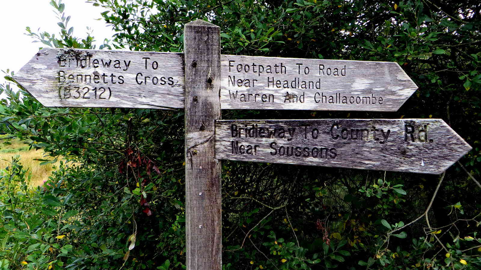
Signpost near the Golden Dagger mine miners' dry .....

Teasel, teazel or teazle, a member of the Dipsacus genus, in bloom .....

Teasel, after blooming.

Teazel, overview.

Golden Dagger 'dry' (for drying miners' wet clothes), the mine was worked until 1914. All traces of the mine buildings, except for this one, Dinah's House (below) and a large wheel pit, are now lost under the forestry plantation (Hemery, p. 619). Between 1882 and 1914, 220 tons of black tin were produced - 181 tons of it in 1909. Birch Tor and Vitifer produced 1,500 tons (of black tin ore) between 1861 and 1877. Nearby East Birch Tor Mine raised only six tons of ore between 1854-1862.

Seen near the buddle, at the southernmost limit of this walk.

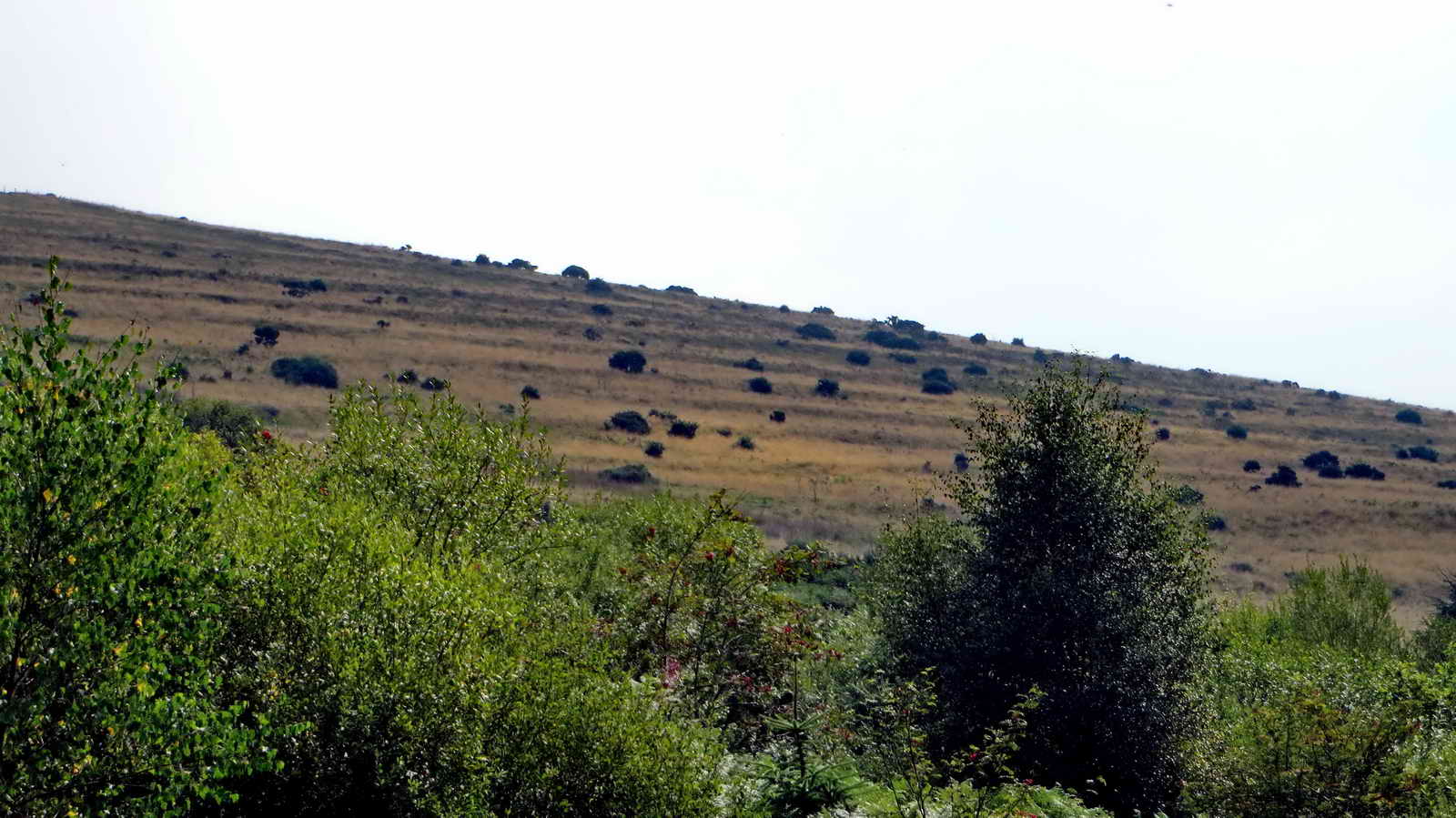
Looking across the Redwater at the colour of the heather .....

As previous photograph.

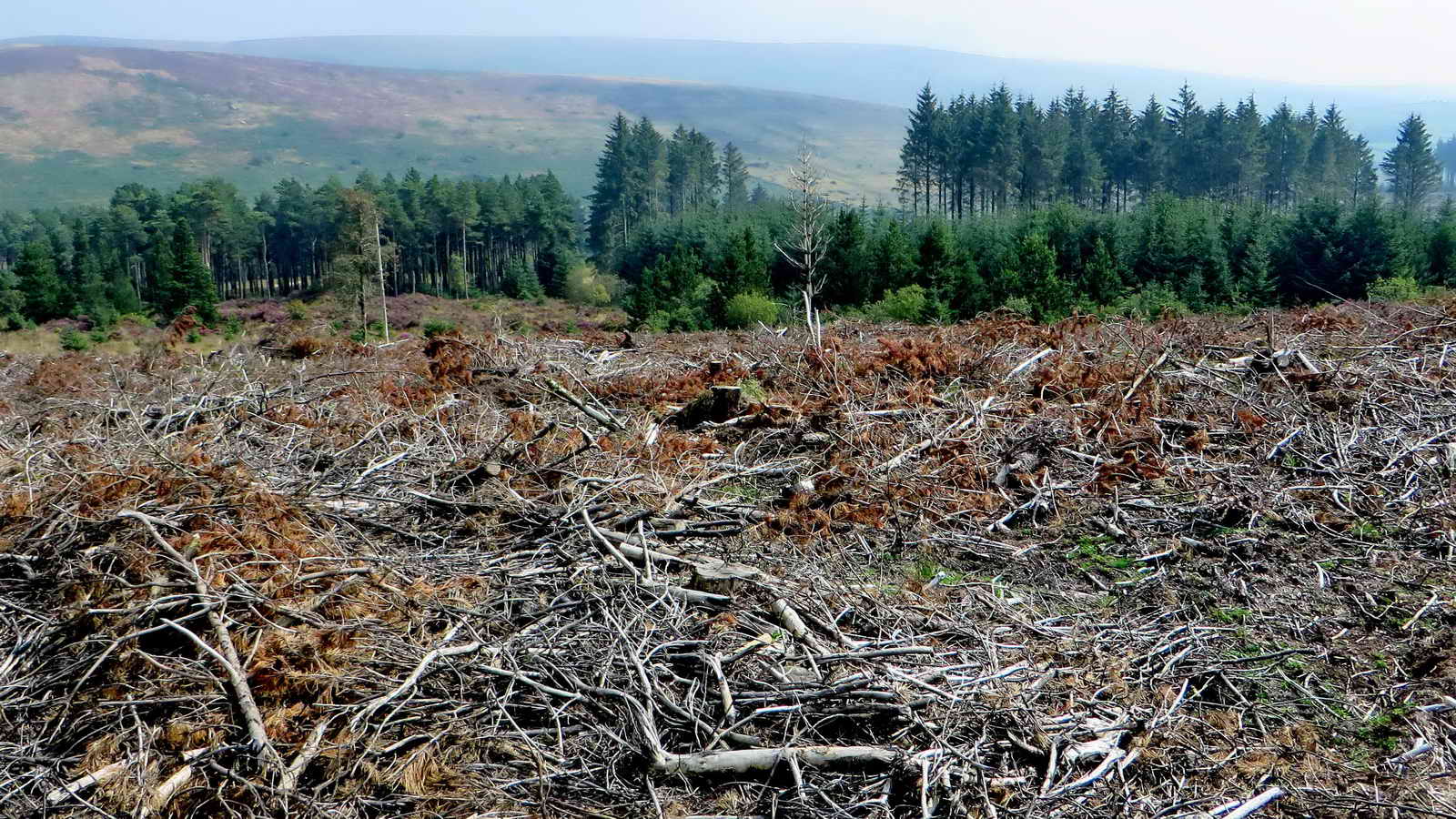
An area that has been clear felled.

Buddle, SX 68548 79887 - where crushed tin ore was washed to separate sandy components from heavy, tin-bearing grains.

Bee hives set out for heather honey .....

Bees .....

Bees - is there a "waggle" dance in progress? Someone just spent half an hour looking for a photograph of myself with Konrad Lorenz who was joint Nobel Prize winner with Nikolaas Tinbergen and Karl von Fritsch in 1973 for Physiology & Medicine after deciphering the meaning of the bees "waggle" dance. He and I spoke about Amphioxus. That photo is here somewhere, maybe in daylight .....
How the memory plays tricks! This is the photo, taken by Karin Bernatzky, our good friend and Photographer, Zoology Institute, Uni. Salzburg, while we spoke. This was during a family holiday to Austria, in 1988 (by our next holiday there, in 1990, he had died, aged 85). We were visiting the Konrad Lorenz Research Station at Grunau (part of the Konrad Lorenz Research Institute). The visit arranged by Prof. Hans Adam (Uni. Salzburg) and the Station Director, Kurt Kotrschal, both friends and visitors to the Marine Biological Association, Plymouth. Konrad was in failing health and using a wheelchair. During this visit we were told of studies on grey lag goose behaviour and our daughter remembered the "goose girl" for a long time after!

Konrad Lorenz, 1988.
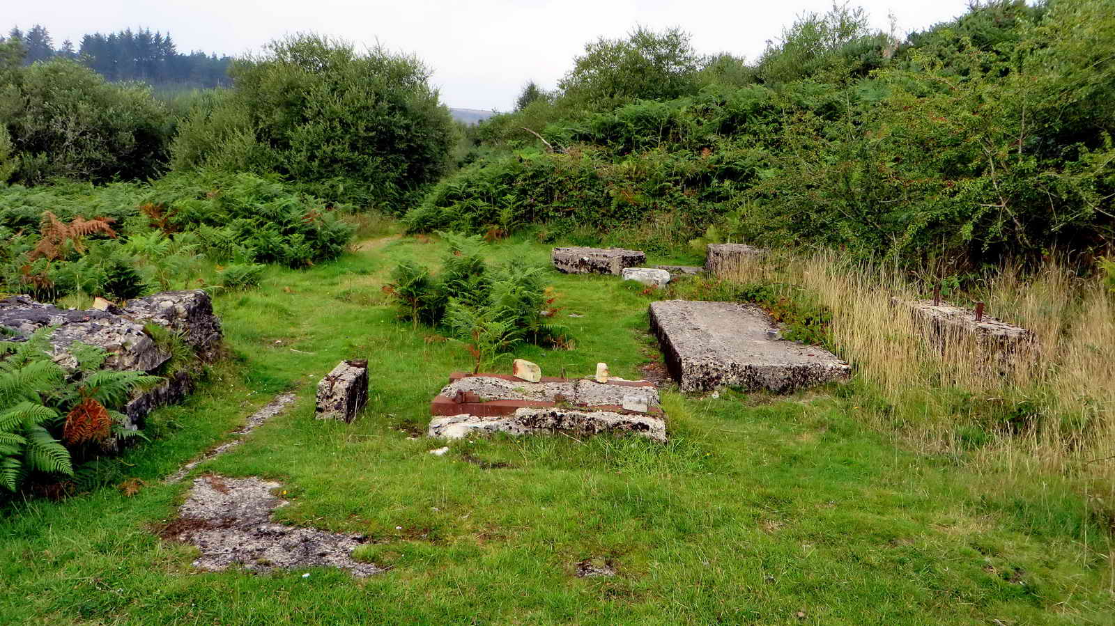
Concrete plinths, SX 68548 79915, where machinery was bolted down .....

See previous photograph.
Dinah's House, SX 68465 80048, a place where several generations of miners lived - the last occupant left in 1942.

Dinah's House.

Looking at possible dressing floor area below Dinah's House.
Medieval lynchets: a sign of old fields: possibly formed by soil slippage or by ploughung in one direction only, before reversible ploughs, or possibly constructed deliberately as beds.

Rear view of a friendly robin!

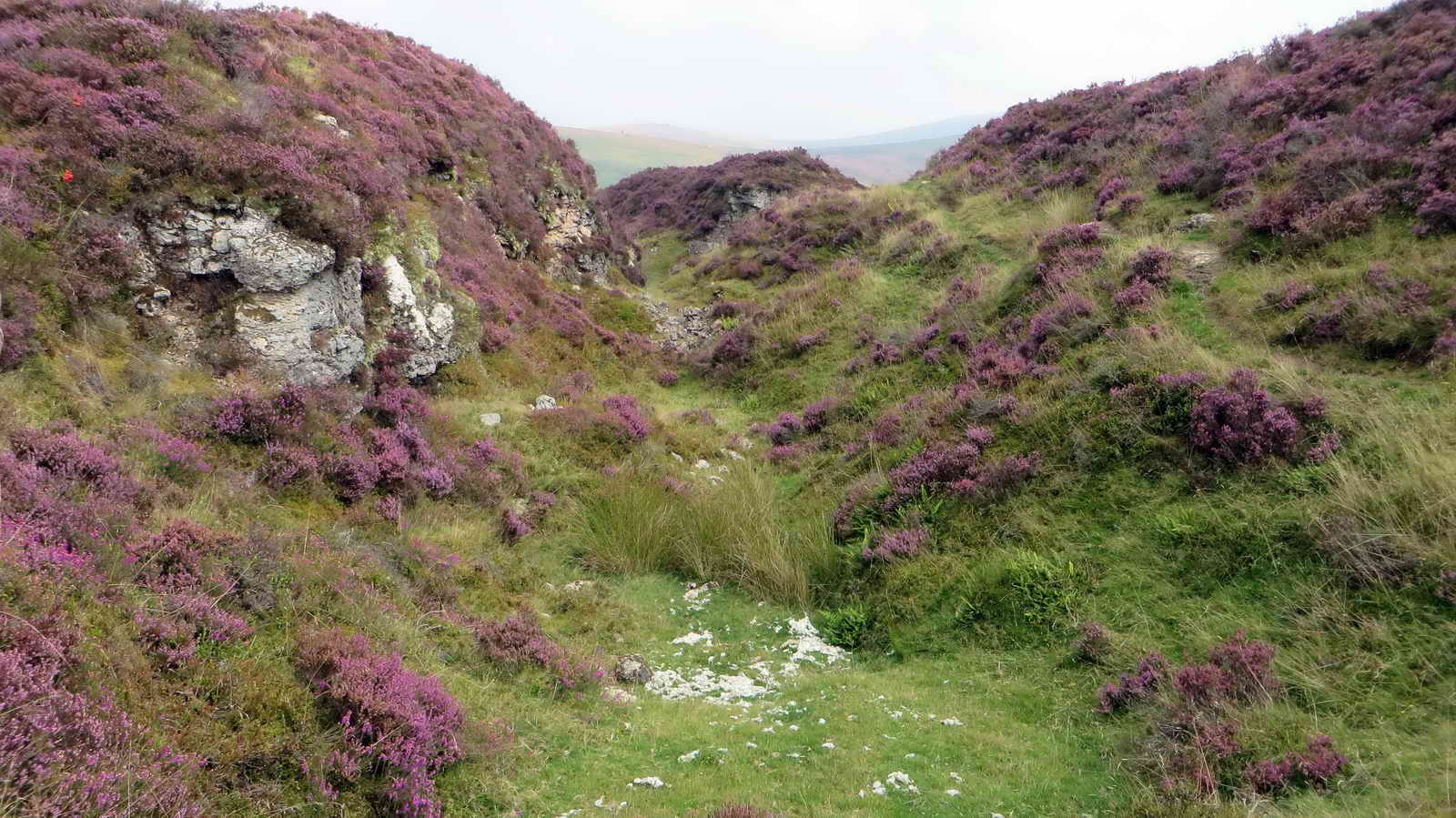
Looking east down the Golden Dagger gert, towards the valley.

Looking up the gert to an area fenced off warning of Danger of Fall - presumably a mine shaft and possibly "Machine Shaft".
Looking back after yomping across this brash area, hard going with brash up to the knees and worse.

The old mine leat where it entered the area, SX 67785 80303, with a small clapper bridge over it ..... the leat came from the mouth of Sandy Hole Pass (East Dart) over seven miles away. It fed West Vitifer and Wheal Caroline along the way and then powered the Birch Tor and Vitifer water wheels. The tail race from Vitifer was leated away to power the water wheels of Golden Dagger, thence into Redwater Brook and finally the West Webburn River (Hemery, page 616).

"Follow that leat"!

Another view of the lynchets across the valley, on Challacombe Down.

The Warren House Inn.
To the left, the embankment to the old aqueduct (now long gone).

The aqueduct embankment terminates on the left in this photograph, "nearer" to the camera.
Looking down a gert along the Birch Tor South Lodes, towards the east.
Another view.

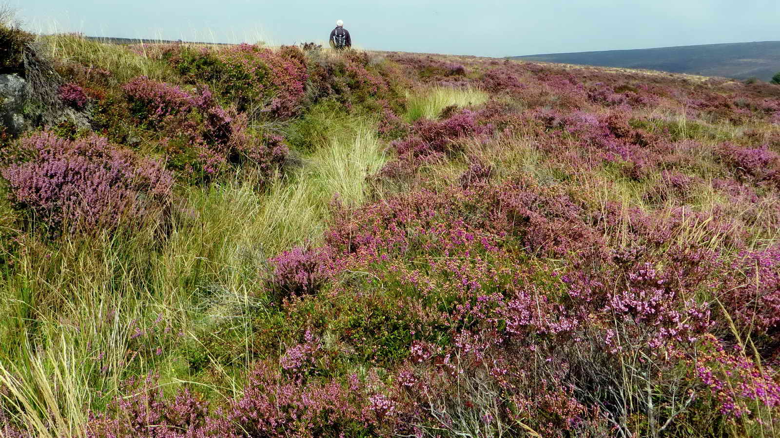
Close-up of Common Ling, Calluna vulgaris - at ground level there seemed to be quite a scent of heather today, it being warm, humid and still.
MAP: Red = GPS satellite track of the walk.

This walk was reached after parking in a layby
after the second car park seen travelling east towards Moreton Hampstead after
passing the Warren House Inn.
Statistics
Distance - 5.47 km / 3.4 miles.