![]()


This walk: 2013-8-28. EPB boundary stones, Buckland Beacon and the Ten Commandments Stones, Jubilee Stone, Well's Tor aka Welstor Rocks.
Similar walks in this area: 23rd Feb. 2011 & 9th June 2010 - with the 1935 Silver Jubilee Stone - and links to Commandments Stone 1 (montage) & Montage Commandments Stone 2 (montage) (incl. the eleventh commandment) and also to a Ten Commandments Stones transcription,
Walk details below - Information about the route etc.
Link to Google Satellite view of the area - including the GPS track of the walk (compare with the Ordnance Survey map plus track below)
Bing and Google maps side by side - but no GPS track.

EPB 1837, at SX 73763 73921, signifying Edmund Pollexfen Bastard, Lord of the Manor of Buckland-in-the-Moor, 1837. The manor was bought from Ralph Woolley of Halshanger by the Bastards of Kitley in 1614. In 1837, 4th May, the boundary was surveyed and a series of stones erected on barrows and former cairns. Edmund died the following year.

Reportedly the only EPB stone without the year, 1837. Source: Dave Brewer (2002) Dartmoor Boundary Markers, Halsgrove, p. 110 (Stone 15, at SX 7376 7392).
"B" signifying Buckland Parish, at SX 73735 73861.
A touch of yellow, purple and green.

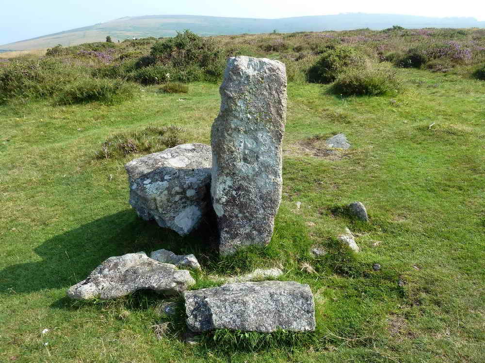
The two flat-faced stones in the centre of this photograph are The Ten Commandments Stones, see this Legendary Dartmoor link for details. The stones were commissioned by William Whitely of Wellstor, Lord of Buckland Manor, in 1928, in celebration of the rejection by Parliament of a proposed new Book of Common Prayer that was deemed too popish by many. There are two dates on the stones: 15th Dec 1927 and 14 June 1928, that are the dates on which the revised book was rejected. When it was realised that there would be room to spare, the third verse of the hymn "Oh God our help in ages past" was added to the second stone. There are 1,547 letters.
The sculptor was WA Clement who lived nearby in a hut on the edge of a wood for two months whilst working in all weathers. The work was started on 23 July 1928 and finished on 31 August 1928, with the sculptor working 9� hours per day.
The stones were re-cut and painted black in 1995 and were renovated again in 2009 by the Dartmoor National Park Authority Conservation Team.
The inscriptions can be seen more clearly here ...........
The photo-montages of the stones show some distortion due to using a camera with a relatively wide-angle lens so that the "joins" are not perfect!
You can navigate around the large images using the keyboard arrow keys. If you are viewing in full screen mode (F11), you will need to press F11 again to access your browser "Back" button to return to this page.
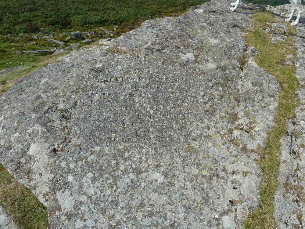
A closer view taken on this walk reveals a little of the inscription.

The lecture .....

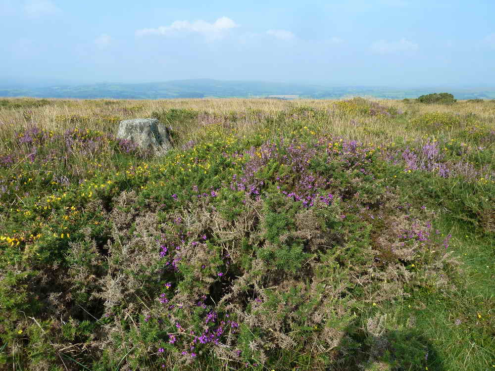
Looking at the inscribed Jubilee Stone near the top of the beacon.
Closer view, including Jess's feet ......

Another closer view of the inscribed stone near the summit ..... a fire was lit here, as one in a chain, by the parishioners of Buckland-in-the-Moor in celebration of their Majesties Silver Jubilee, May 6th, 1935.

A better impression can be seen in this photo taken on an earlier walk.
Transcription .....
|
|

Buckland Court .....
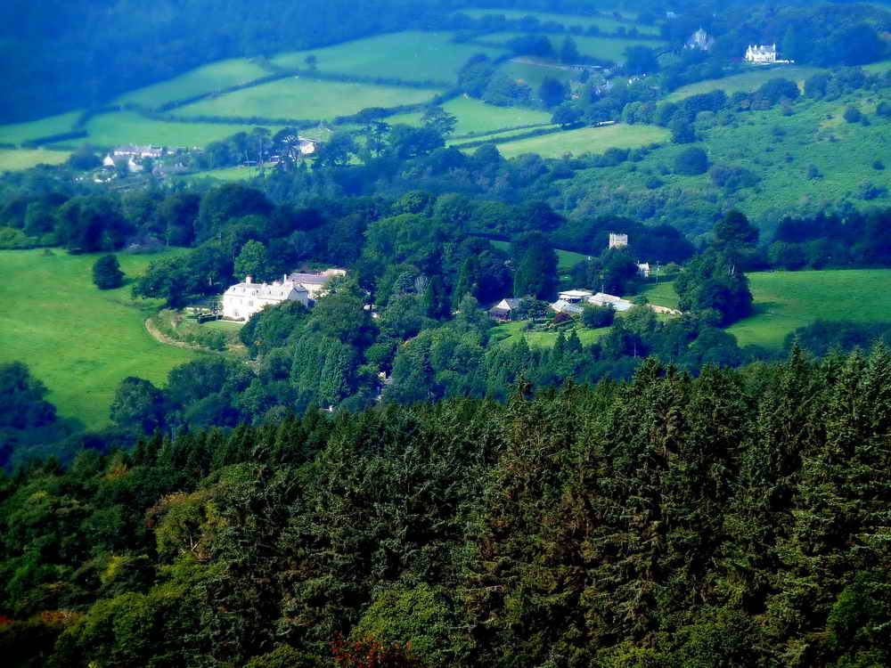
Buckland Court with St. Peter's Church close by (1.5 km/0.93 miles distant) and with St. John the Baptist Church, Leusdon, in the distance at top right (2.58 km/1.60 miles distant).

Another view of the two churches.

Common ling .....

Common ling, aka Common heather.

Looking back at Buckland Beacon.
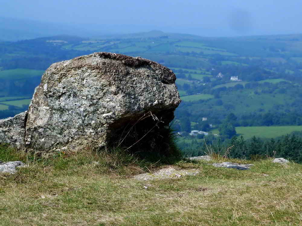
Artistic or what ............................ What!

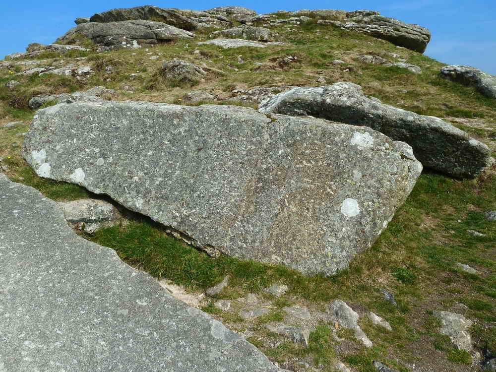
Another look at the Jubilee Stone .....

As previous photograph.

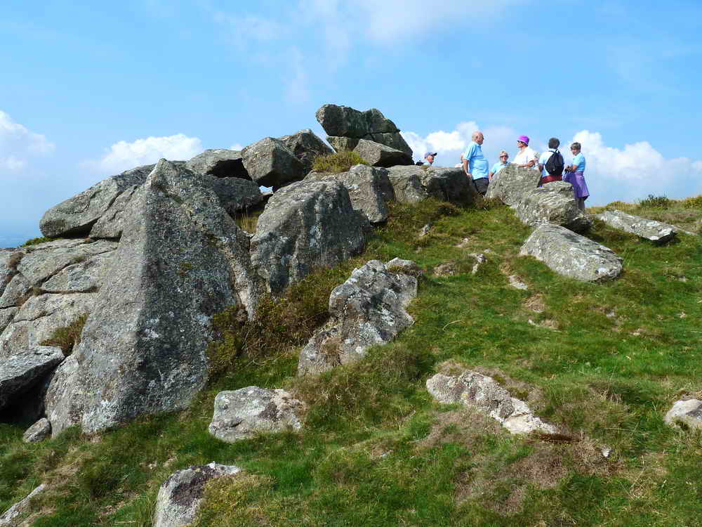
A gathering of friends .....

An irritation of flies.
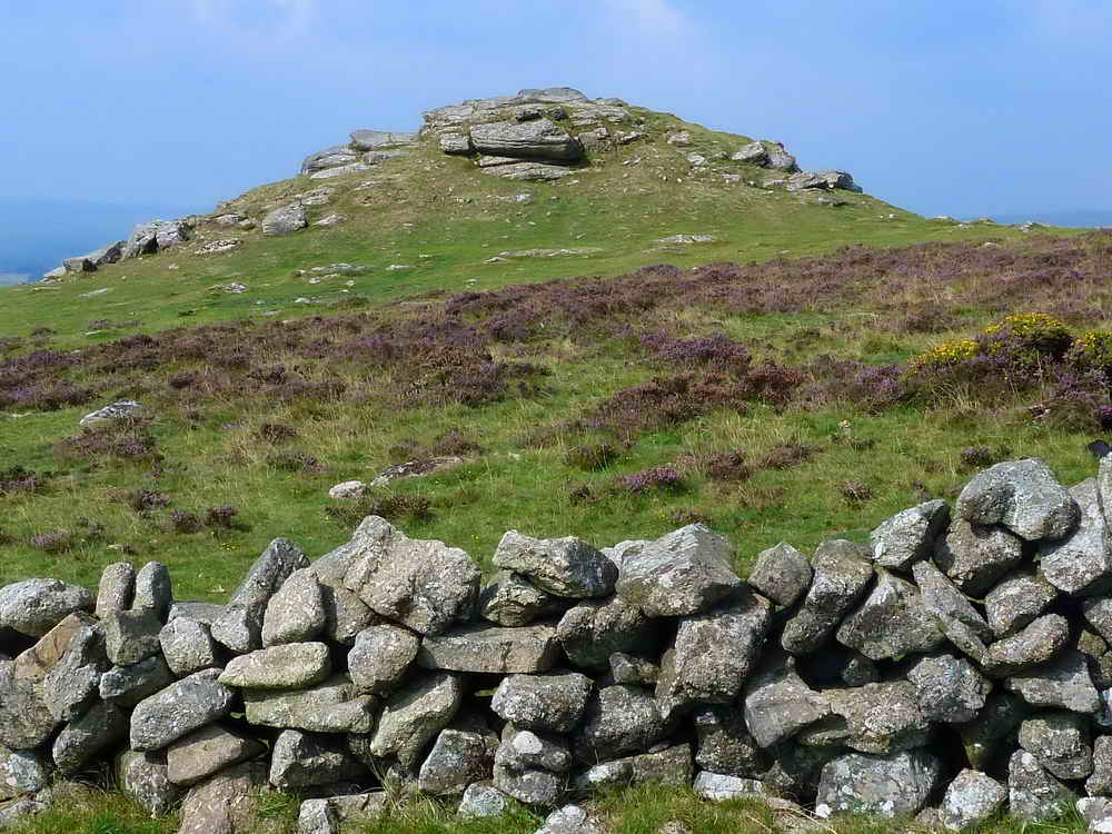
The beacon again.

Rippon Tor, SX 746 756, elevation 473 metres (1551 feet).

Well's Tor or Wellstor Rocks, SSX 73779 72952, elevation approx. 372 metres (1220 feet) .....
Another view.

Probable Dung Beetle - don't click this link if you are about to eat!

As previous photograph.
Along the route, we passed a building of now-unknown purpose (seen on 23rd Feb. 2011), perhaps it housed target apparatus? This area, on Welstor Common, was once a rifle range. It is no longer shown on modern maps but can be seen older maps:

We've been here before!

Just a view ahead - with the sun behind cloud.

Two bridges, at SX 74465 73803 .....

Again.

We marked someone's birthday today!

A thoughtful present .....

In case you didn't see it the first time!
MAP: Red = GPS satellite track of the walk.

The walk was accessed via the A38 from Plymouth, Newton Abbot/Widecombe turn-off and following the road for Widecombe to the Cold East Cross car park that is marked by the yellow cross (by the
P symbol) on the map. It can also be accessed from the Tavistock/Widecombe direction. It can also be accessed from the Tavistock/Princetown direction and others.
Statistics
Distance - 4.39 km / 2.73 miles.
All photographs on this web site are copyright ©2007-2016 Keith Ryan.
All rights reserved - please email
for permissions