![]()


This walk: 2016-9-7: Newleycombe blowing house, Classiwell Farm, Newleycombe Farm, Crazywell Cross, Crazy Well Pool.
Walk details
below - Information about the route etc.
Previous walk/s in this area:
24th April 2013, , 26th
June 2013,
30th June 2016 (Roundypark Farm).
Link to Google Satellite view of the area including the GPS track of the walk (compare with the Ordnance Survey map plus track below).
Old maps
Ordnance Survey, Six-inch to the mile, 1st edition - 1898-1913
Further reading
Eric Hemery (1983), High
Dartmoor,
Robert Hale, London, pages 139-140.
Mike Brown (2001) Guide to Dartmoor, CD-ROM, Dartmoor Press, Grid Squares
5769, 5869 and 5870.
Paul Rendell (2007), Exploring Around Burrator: A Dartmoor Reservoir.
The Dartmoor Company.
Old farms near this walk .....
Nosworthy / Norsworthy / Northsworthi: SX 56867 69478 - first recorded 1384,
abandoned soon after 1891.
Kingsett / Kyngesette / Kingsette / Kingseat: SX 57690 69915 - first recorded 1333,
abandoned 1924.
Classywell / Classiwell / Clasiwell / Claseywell / Claziwell / Classenwell / Crazy Well: SX 58092 70048 -
first recorded 1575, abandoned 1914.
Newleycombe / Newlacombe (pronounced "Nillacombe", Hemery, page 140): SX 58775 69953 -
first recorded 1584, abandoned around 1839.
Roundy / Roundypark / Roundipark: SX 57807 70120 - first recorded 1668 (on
lintel), abandoned around 1841.
Some spellings are from old OS maps.

Zoomed view from near Kingsett Farm, across Newleycombe Lake, to a recently cleared blowing house, at SX 57781 69801 ..... it was a misty morning .....
Another view

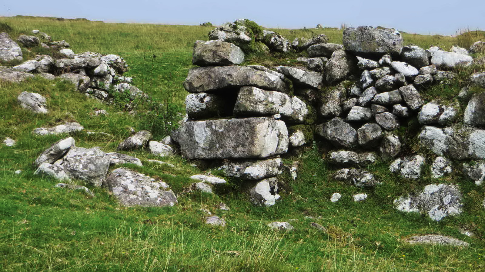
Mould stone, in situ.
Classywell Farm .....

A quern stone, for grinding corn .....
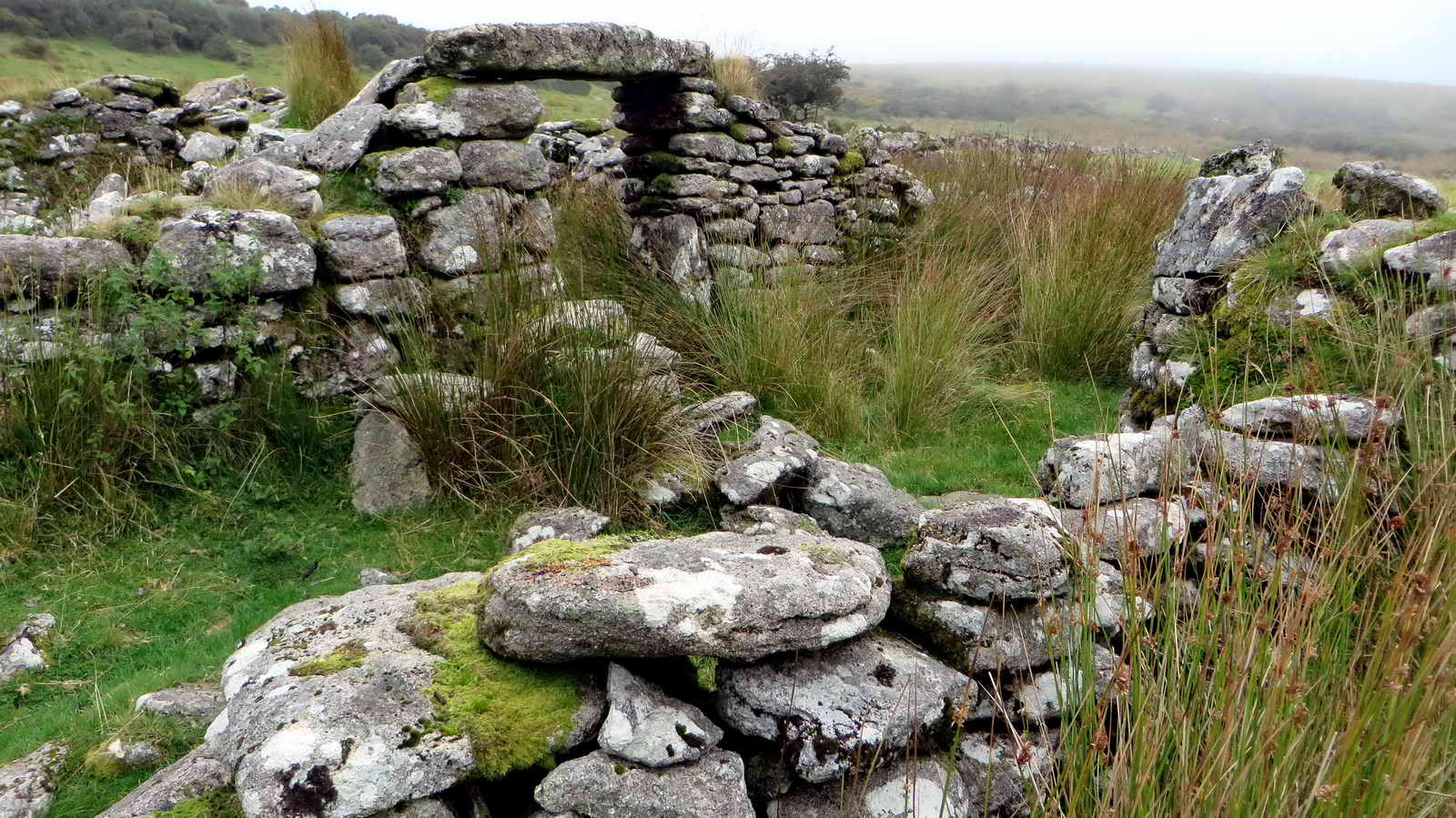
From Mike Brown (2001) Guide to Dartmoor, CD-ROM, Dartmoor Press, Grid Square 5870. .....
"The farmstead is very compact, comprising a tiny house, with a floor space barely 12�x10 feet, its door lintel still in situ, on either side of which are two small outhouses, the house doorway opening into a short lane which leads to a small courtyard, onto the western wall of which is built a spacious dog shelter and two medium sized barns or linhays."
Another view, first recorded 1575. Source: Paul Rendell (2007),+ Exploring Around Burrator: A Dartmoor Reservoir. The Dartmoor Company.
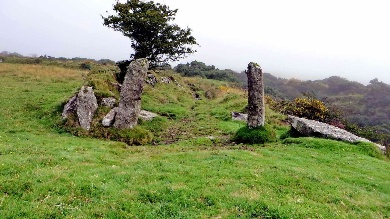
Classenwell Farm .....

The dog shelter by the western gate.

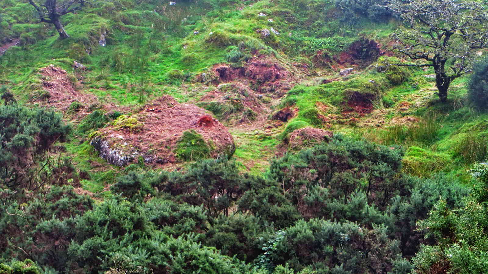
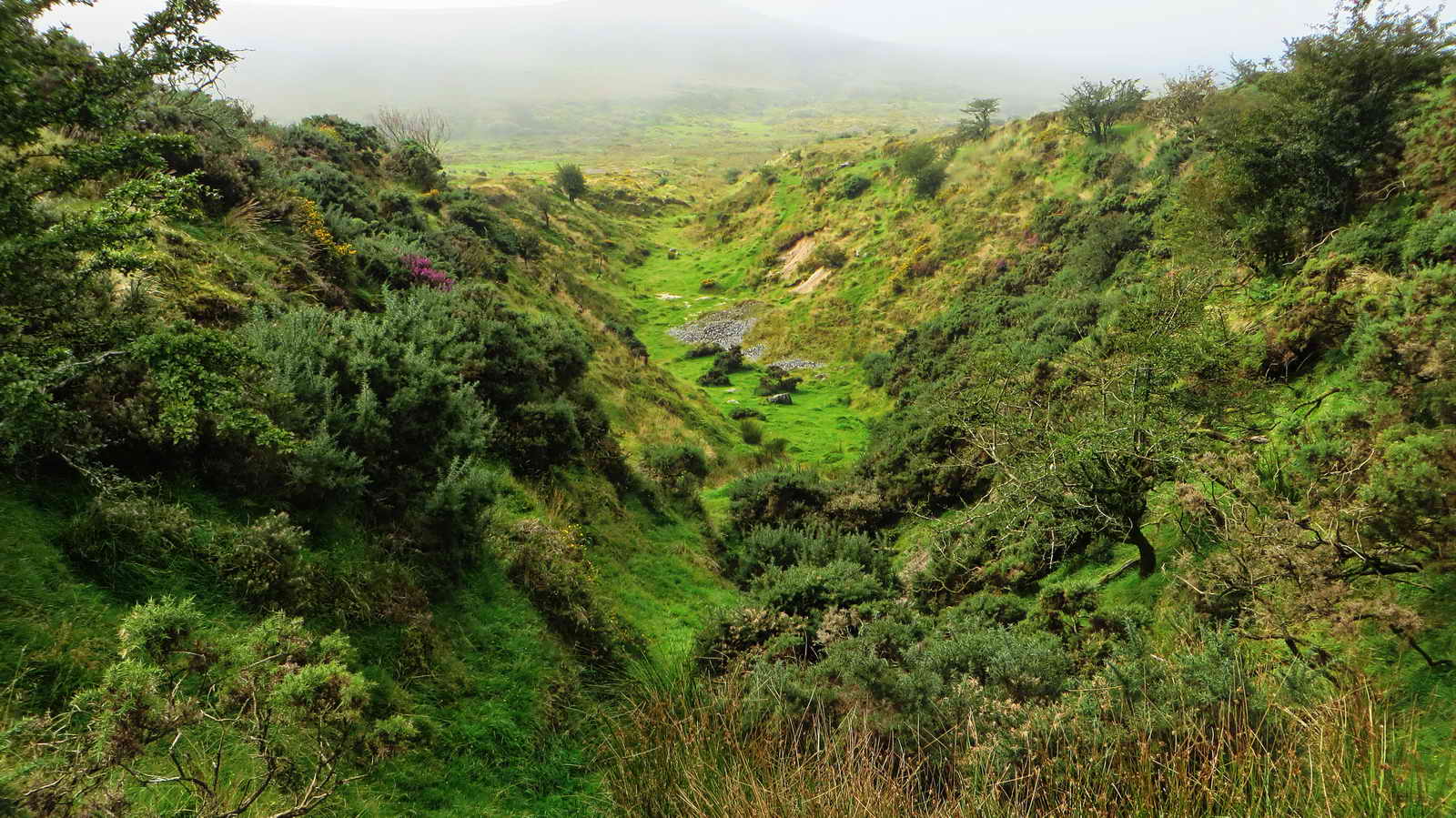
This shows the white areas that stand out in the Google Satellite view of the area, areas of sand and small stones in the tin mining gert at SX 58620 69969. The gert is quite deep to cross, so a way around was sought at the top end .....
These gateposts were seen when passing around the top of the gert .....
Newlycombe Gert (?) .....
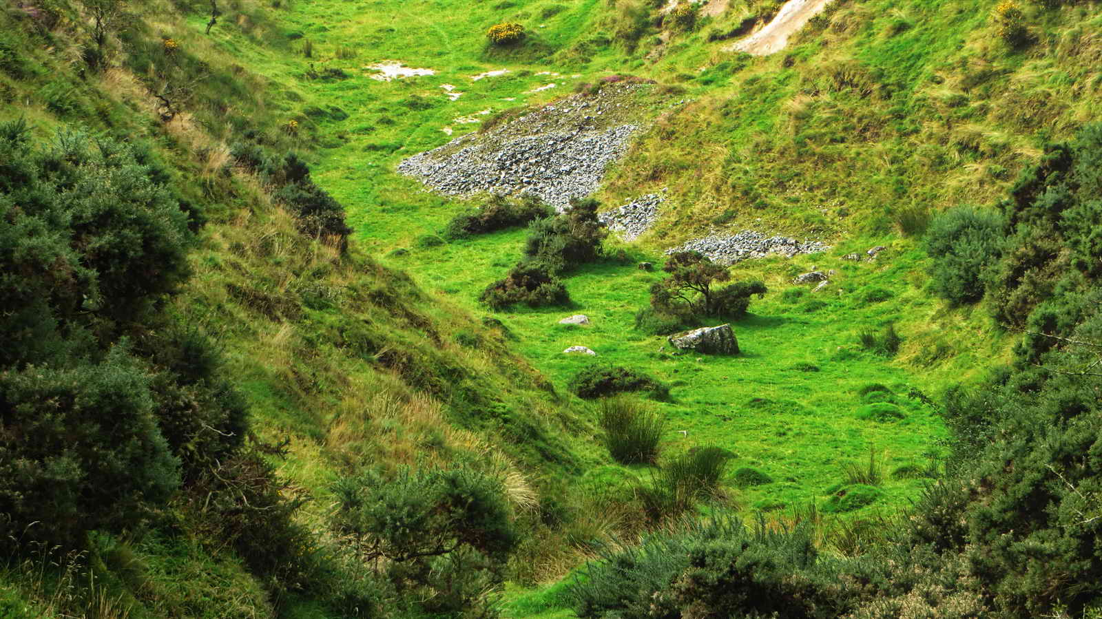
Zoomed view to the white sand and small stones in the gert.
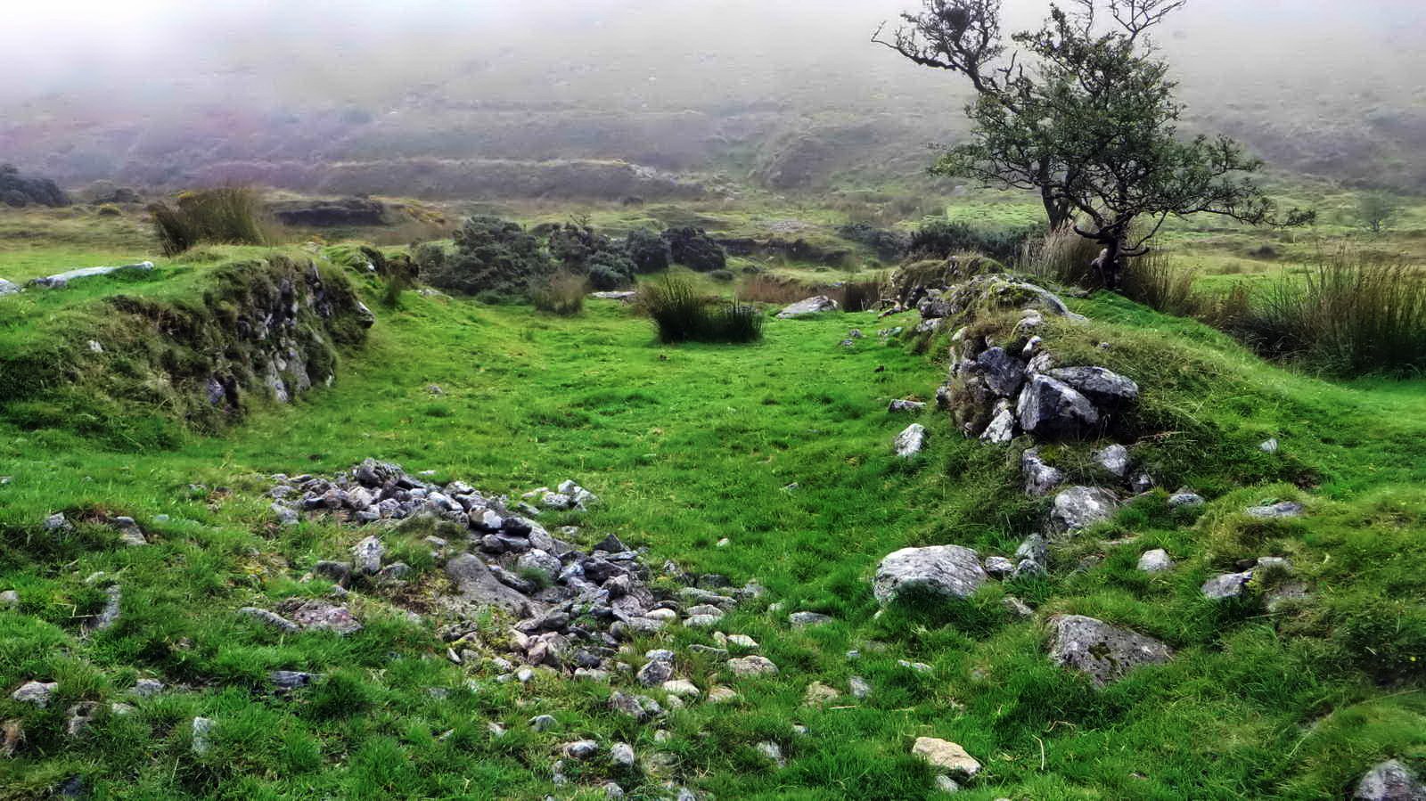
Newleycombe Farm .....

The ruins of Newleycombe Farm first recorded in 1584 (Source: Paul Rendell (2007), Exploring Around Burrator: A Dartmoor Reservoir. The Dartmoor Company.) are approached via deeply sunken lanes from the west (nearest the camera) and the east (away from the camera) .....
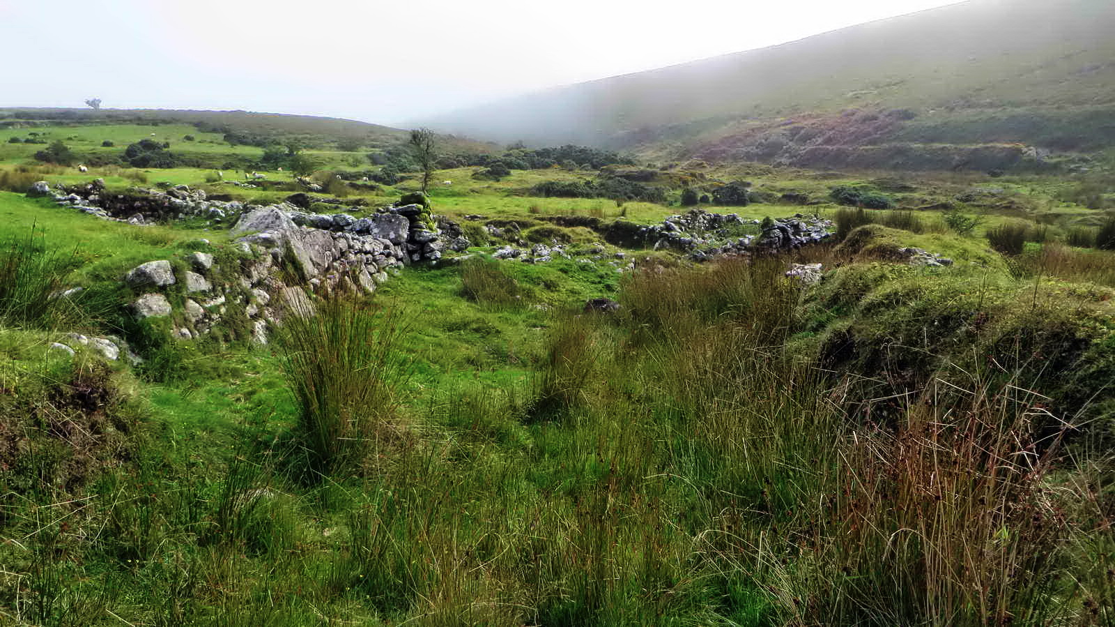
The entrance to the courtyartd .....
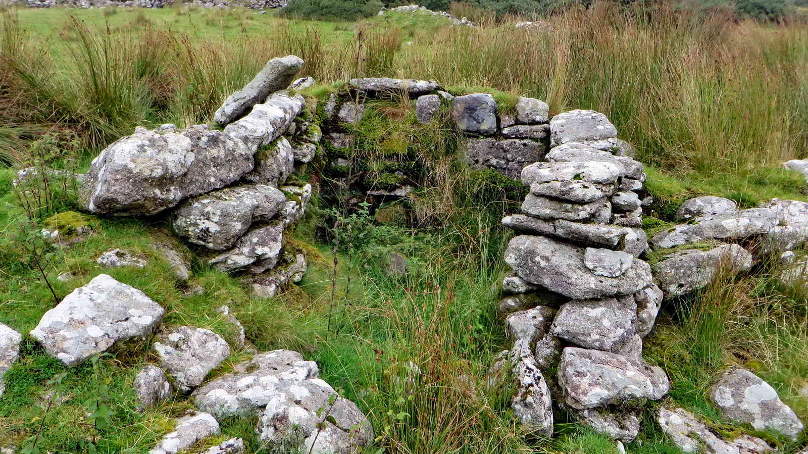
Feature in a wall, a cupboard? Mike Brown mentions a possible lipstone for a possible pot water leat here somewhere.

General view of the larger building .....

Sunken lane heading east .....

Closer view of (a second?) oddity .....

Looking back west at the farm .....
The eastward sunken lane turns 90� right and opens up down towards Newleycombe Lake i.e. the stream / river.

Crazywell Cross, SX 58382 70403, probably a marker on the Monks' Path between Buckfast Abbey and the Abbies at Tavistock and Buckland .....

Another view, with Burrator Reservoir in the distance.

Crazy Well Pool, no doubt dug as a tinners gert, close to high tide.
MAP: Red = GPS satellite track of the walk.

� Crown copyright and database rights 2016 Ordnance
Survey
Licence number 100047373
Also, Copyright � 2005, Memory-Map Europe, with permission.
This walk was reached by driving to Dousland, turning at the Burrator Inn
crossroads towards Meavy, then left to Burrator Reservoir, continuing past the
dam and around the top end of the reservoir, over the small bridge (Norsworthy
Bridge) and parking in that area, indicated on the map by the P symbol
and the
yellow cross.
Statistics
Distance - 6.67 km / 4.15 miles
All photographs on this web site are copyright © 2007-2016 Keith Ryan.
All rights reserved - please email for permissions