![]()


This walk: 2016-9-22. Norsworthy car park, Bal Mine wheel pit, West Deancombe, East Deancombe, Combeshead Farm, Cuckoo Rock, potato cave, cave, Outholme Gate, Outholme Farm, blowing house.
Walk details below - Information about the route etc.
Previous walk/s in this area: 4th October 2007, 7th January 2009, 5th February 2009 and 25th January 2012.
Link to Google Satellite view of the area including the GPS track of the walk (compare with the Ordnance Survey map plus track below)
Old maps
Ordnance Survey, Six-inch to the mile, 1st edition - 1843-1882
OS 6-inch 1886
Old farms visited on this walk .....
Middleworth / Middelesworthi: SX 57201 69176 - first recorded 1281, abandoned by
1919.
Deancombe: SX 57940 68795 - first recorded 1450, abandoned 1914.
Combeshead / Combshead / Coomeshead / Coombes Head: : first recorded 1281, last
tenant (Richard Pengelly), died aged 90, in 1931.
Outhome / Outholme / Outcombe: SX 58027 68558 - first pre-1718, abandoned 1849.
When farms were abandoned, their fields were often taken over by neighbouring
farms.
Sources
Eric Hemery (1983), High
Dartmoor,
Robert Hale, London, pages 139-140.
Mike Brown (2001) Guide to Dartmoor, CD-ROM, Dartmoor Press, Grid Squares
5769, 5869 and 5870.
Paul Rendell (2007), Exploring Around Burrator: A Dartmoor Reservoir.
The Dartmoor Company.
The wheel pit of Bal Mine, actually in Norsworthy Bridge car park, where Dartmoor Tin-working Research Group have been carrying out the Bal Mine Project.

Middleworth Farm, a barn .....

ML 1885 date-stone, the date when this new barn was built by the landowner, Sir Massey Lopes.

Inside the barn, corbels to support beams/joists for the upper floor .....
 |
 |
 |
 |
Features of the doorways.

View from the corner of the barn up to Middleworth Tor .....

Snappers Tor, SX 57340 69303, see Ken Ringwood (2013). Dartmoor's Tors and Rocks. University of Plymouth Press. Walls are built onto the tor. There is a gap on the on the current OS 1:25k map at the junction where three walls meet, where the tor has been omitted!
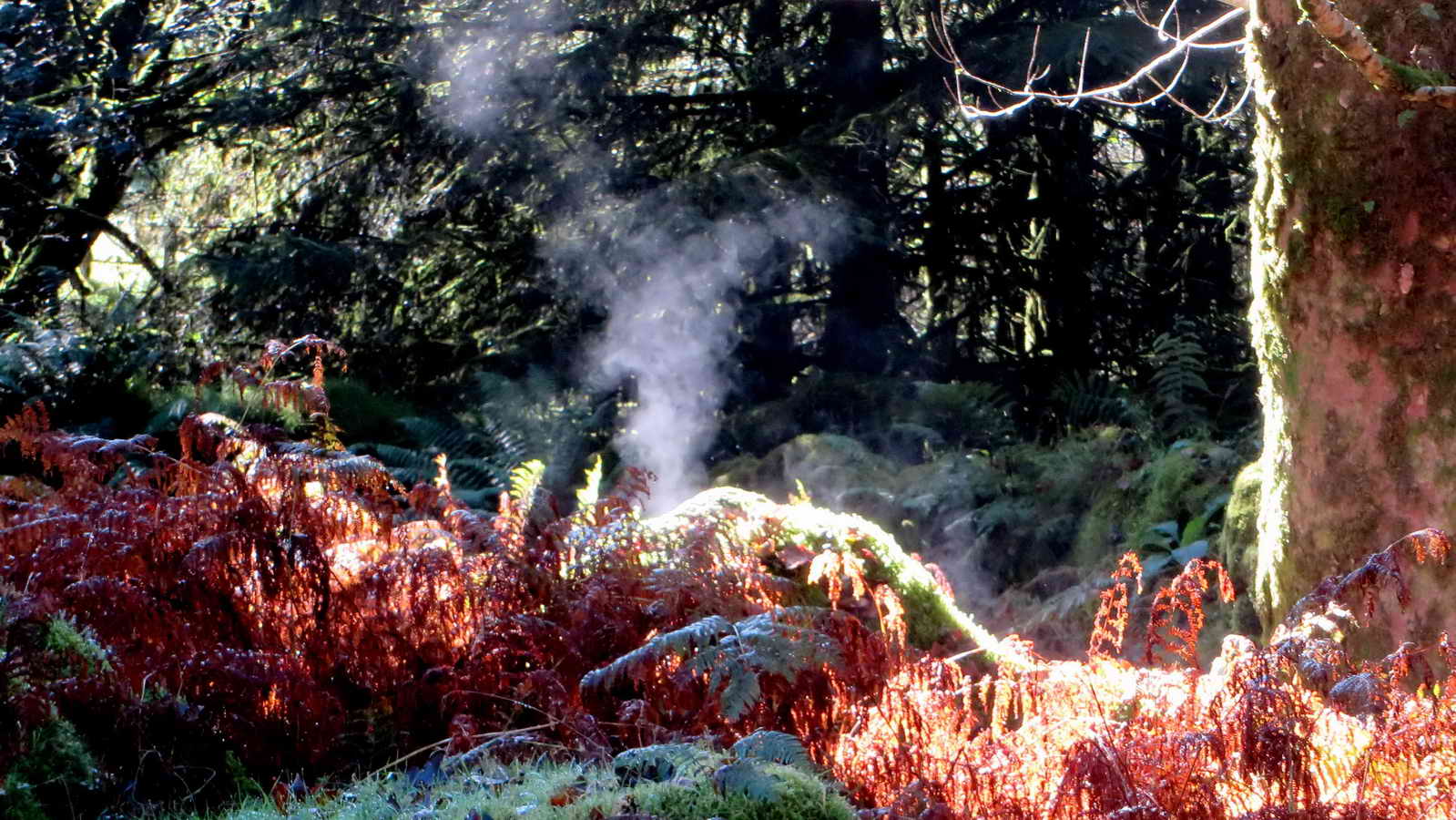
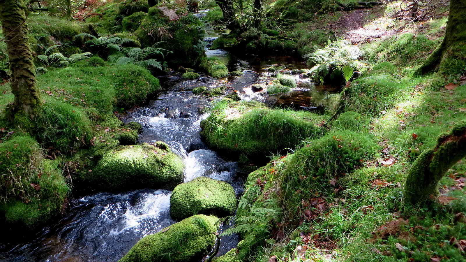
The Burrator Volcano - steam rising from wet moss warming in the sunshine, along the track to Deancombe, known as Deancombe Road or Deancombe Lane.
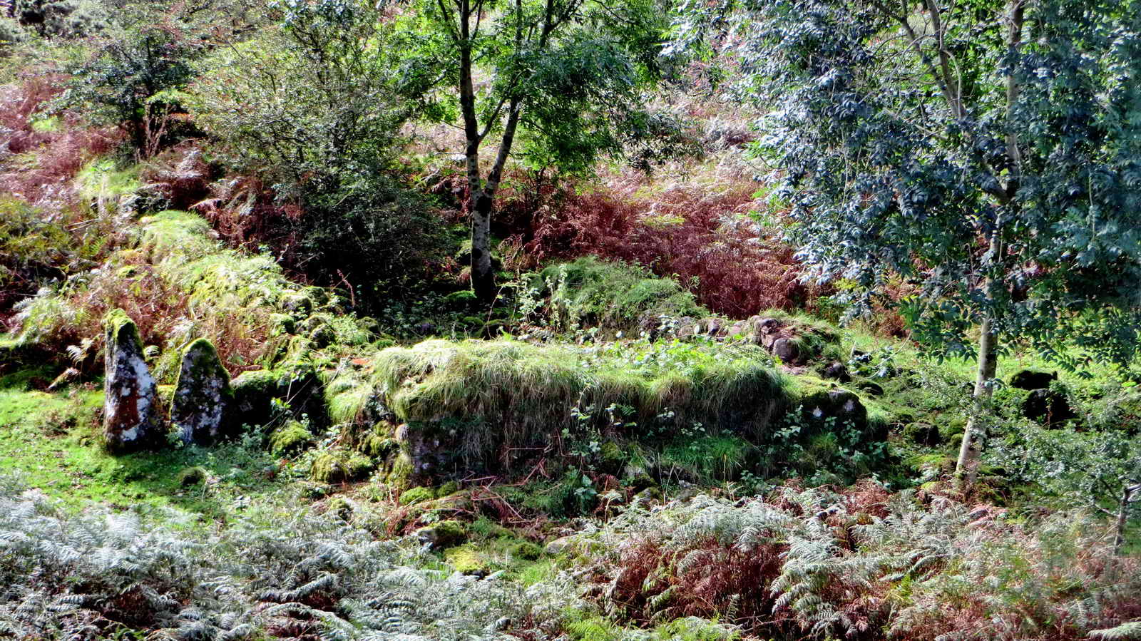
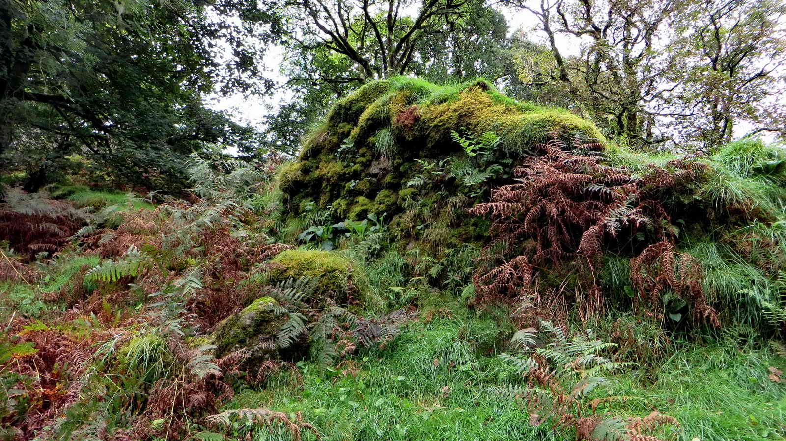
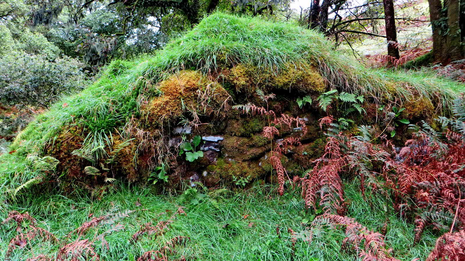
The ruins of the West Deancombe farm, said to be more recent than what is known now as East Deancome ......

Bearded lichen hanging from a tree at Deancombe .....

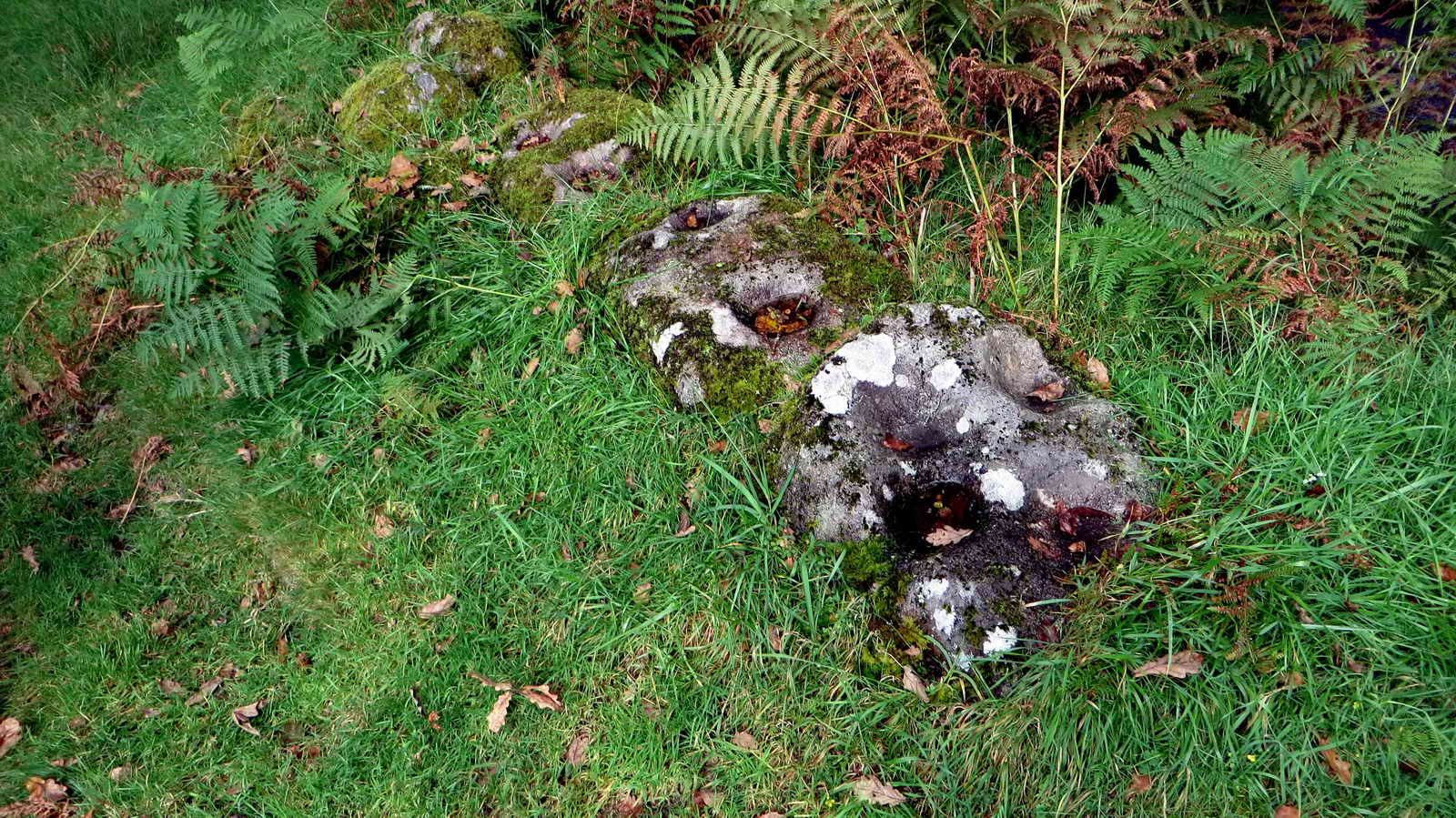
View from the bottom of Deancombe drift lane, over the granite trough, down the track to Deancombe Brook and Deancombe Ford.

Staddle stones at East Deancombe - "used as supporting bases for granaries, hayricks, game larders, etc" ..... to prevent vermin (mainly rats) from reaching stored crops .....
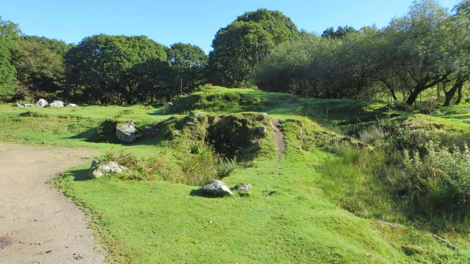
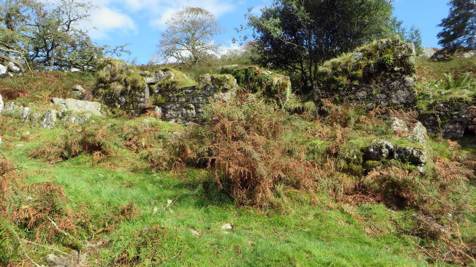
A view of East Deancombe .....

Zoomed view ..... the internal area of this building is full of tall bracken .....

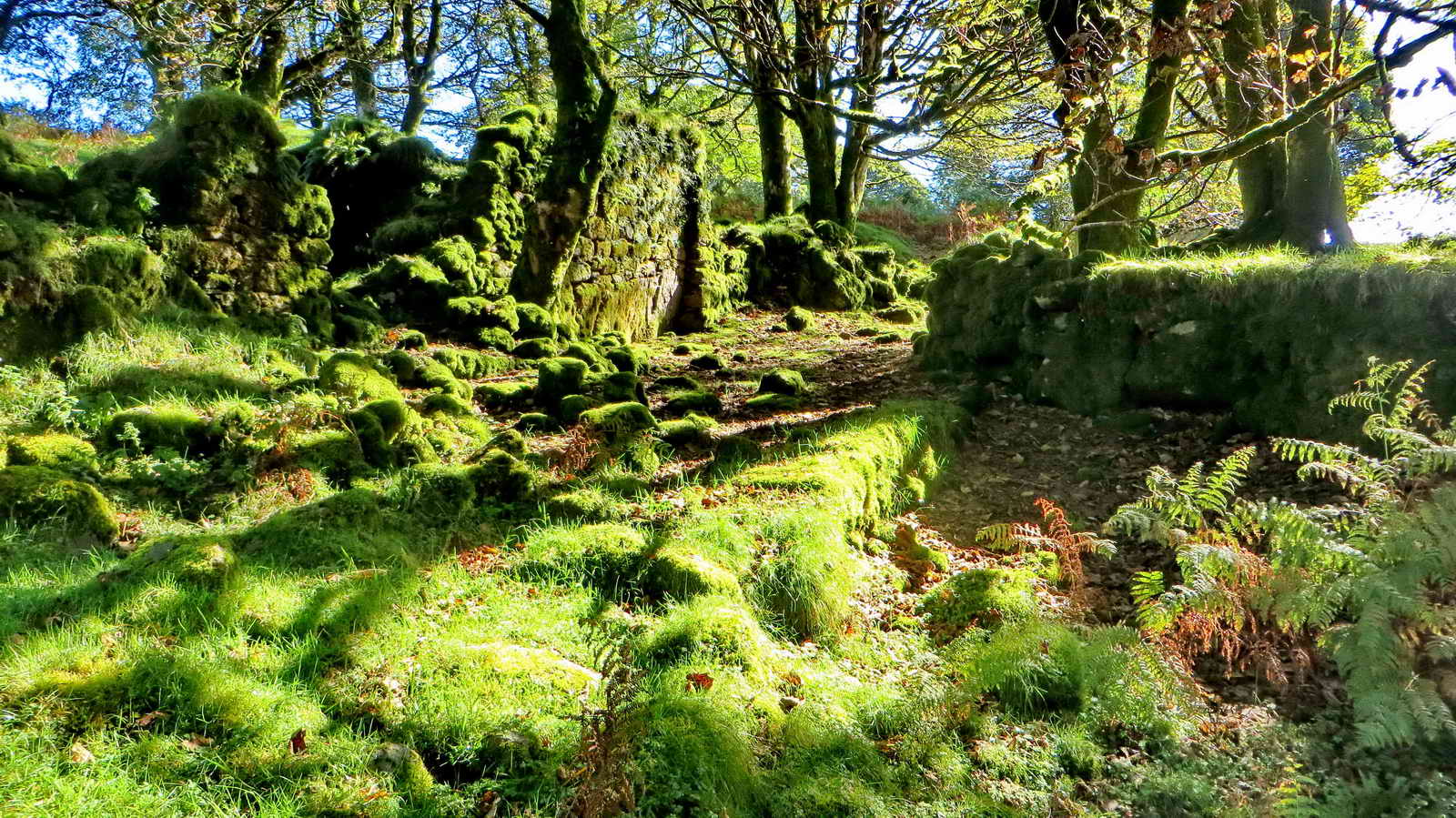
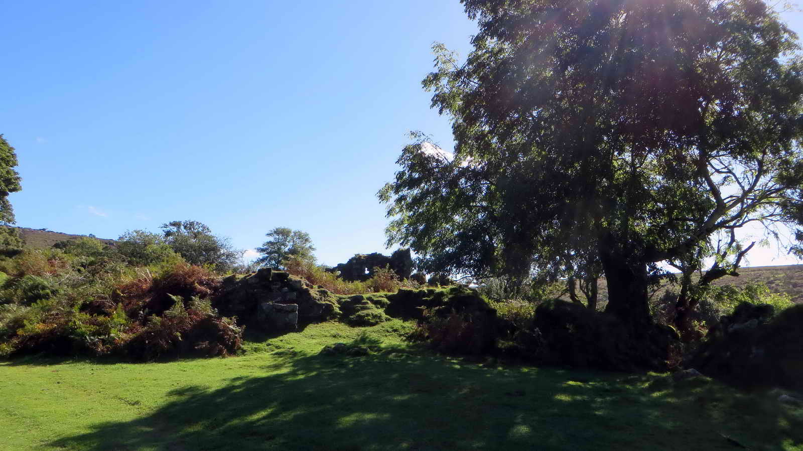
Combeshead farm, looking down the track towards Combeshead or Narrator Brook .....
Looking at the front of the old farm house or cottage, where Richard Pengelly was allowed to live on after the Burrator Reservoir came into use in 1898, until he died, aged 90, in 1931. He was allowed to crow crops but not to keep livestock because this area was in the reservoir water catchment area. This decision seems a little bizarre today because ponies and sheep (and cattle?) run free in the area today.
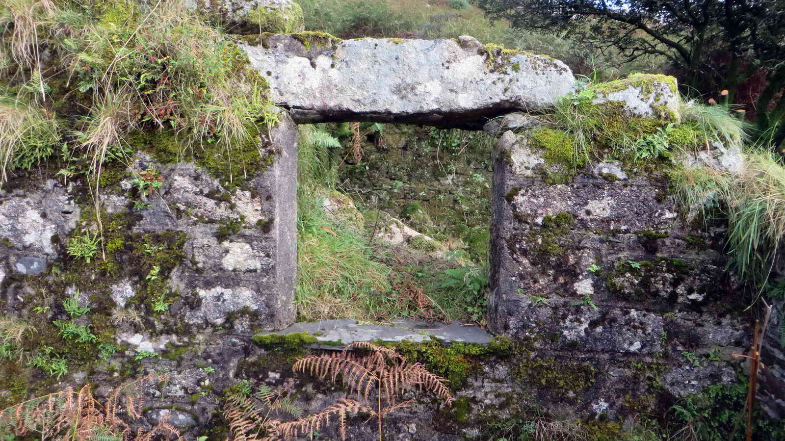
The intact window frame .....

Inside the old house .....

Cut hawthorn stems, the farm is in the process of undergoing some conservation work to prevent further damage by tree growth among the ruins .....
The enigmatic "cart shed"?
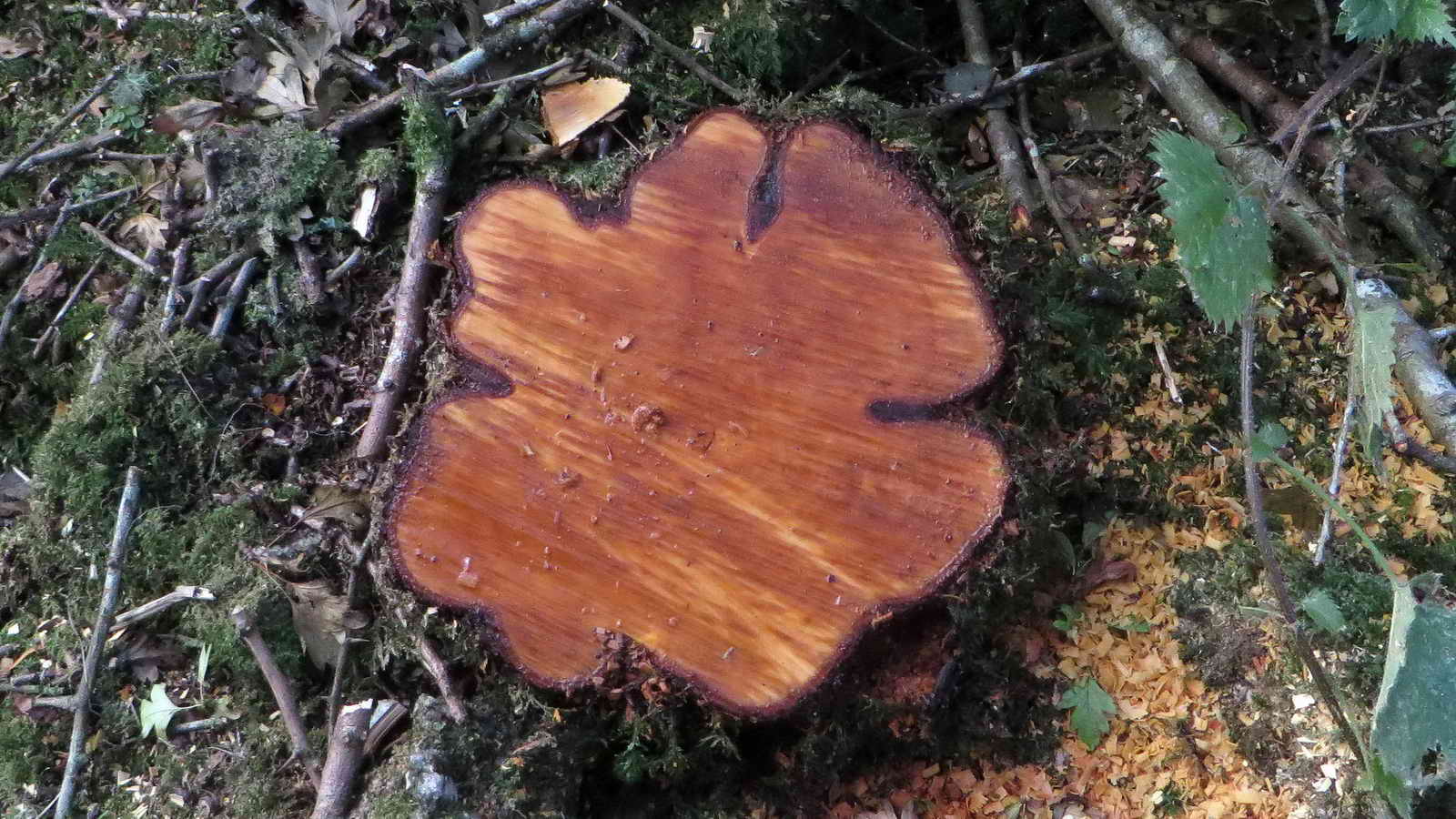
Cut hawthorn stump in the floor of the house .....

Looking northwards from another gateway, with Cuckoo Rock on the skyline .....

Cuckoo Rock, so called because in this area the first cuckoo of the year was always heard calling from here .....

The entrance to Combeshead farm potato cave, SX 58637 68548: this can be found by going up the track towards Cuckoo Rock, turning right between the pair of gate posts and following the track .....

Inside the entrance to the cave, looking out .....
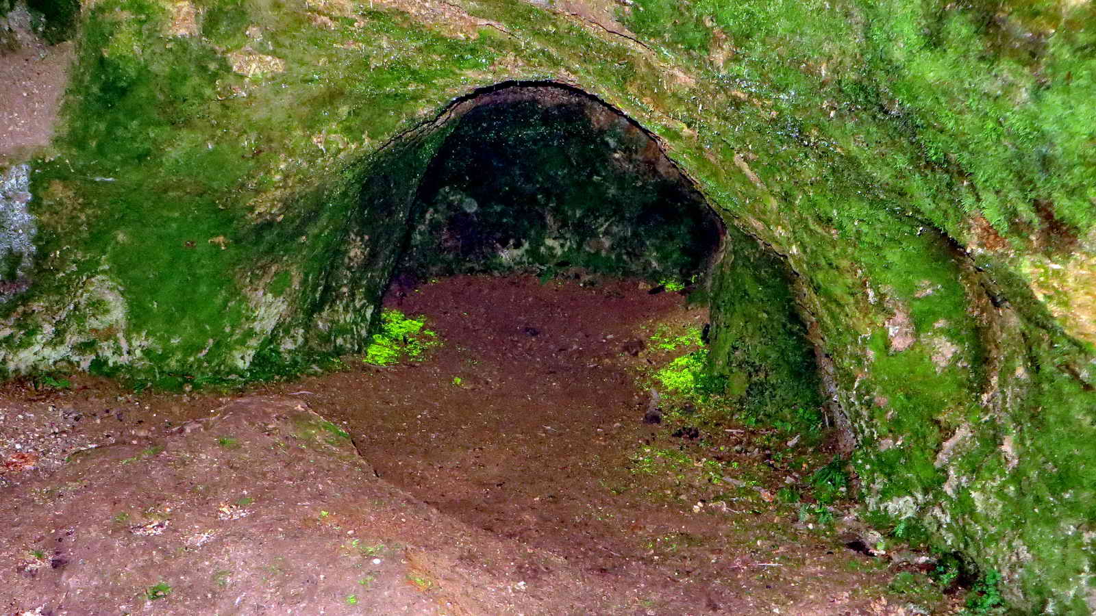
Flash photograph looking into the cave, showing the two patches of "luminous moss" or goblin's gold (presumably Schistozega pennata) - note the large stone near the front and just right of centre, for the following photographs. Source: Norman Baldock & John Walters (2008) The Wildlife of Dartmoor, pages 115 and Index. Legendary Dartmoor link .....

Zoomed view .....

Macro photograph of the luminous moss in the Riddipit Farm potato cave, taken on 27th March 2013 on a 'recce' for the KR-led walk on 25th June 2013.
There is other caves in this area, in growan ("rotted" granite) across the Narrator Brook, one being at SX 58663 68439. They were not visited on this walk but was found on the previous day during a 'recce' with regard to conservation work in the area .....
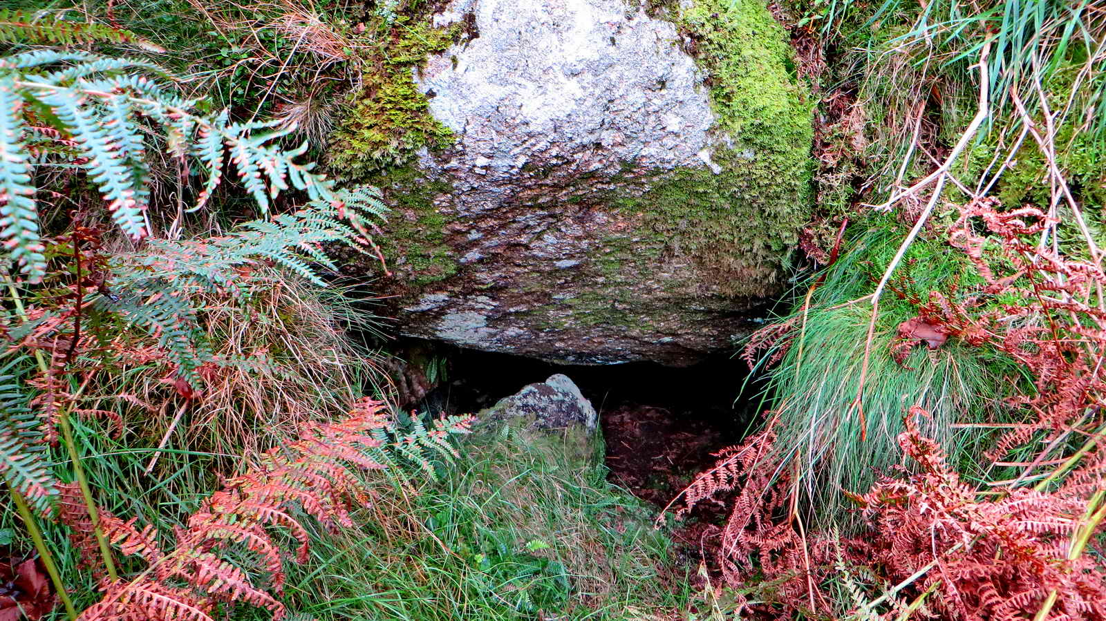
This cave is over the top of a small boulder-strewn hill covered in tall bracken. Another one was visited on 2nd September 2010, among the old mine workings - beware!

Common hawthorn (Cretaegus monogyna) berries .....
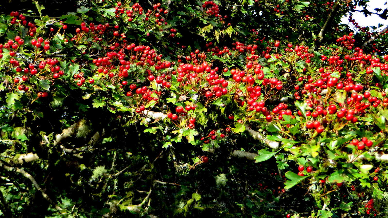
There are a lot of hawthorn berries in this area - the sign of a bad winter to come? Or, the sign of a fruitful summer just past?
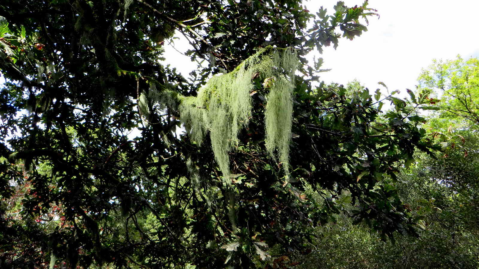
Bearded lichen .....

Zoomed view.

A not very imaginative view of the enormous gate post at Outcombe Gate, SX 58362 68425. This stone is 4 ft 4 ins wide at its base, 5 ft 6 ins high and 15 ins thick (= 132 x 168 x 35 cms in modern money) and may have been robbed from a stone row in Outcombe Newtake (Hemery, page 153).

Ivy, Hedera helix, common species, unripe berries - they turn black when ripe.
Looking up Narrator Brook .....

As previous photograph .....

Looking down the brook from the same location.

One of Dartmoor's enigmas, I assumed it was a strange gate-hanger stone, but perhaps it isn't because the hole is perhaps too small. This is at an entrance to Outhome / Outholme / Outcombe farm at SX 58039 68550 .....
Part of the ruined farmhouse wall .....
Part of the wall of the farm house - the inside of the ruins is covered by tall bracken: one section of wall contains three stones that might have been taken from a stone row ....

Am unusual stone in the wall (inside the house).

Narrator or Deancombe Brook blowing house, SX 57985 68613 (I also have this recorded as SX 57972 68603, on 25th January 2012) .....

A double mortar stone .....
A little further on, near the brook, is a row of old mortar stones - the one nearest the camera being a quadruple one.

Deancombe ford and clapper bridge, down the track from Deancombe .....
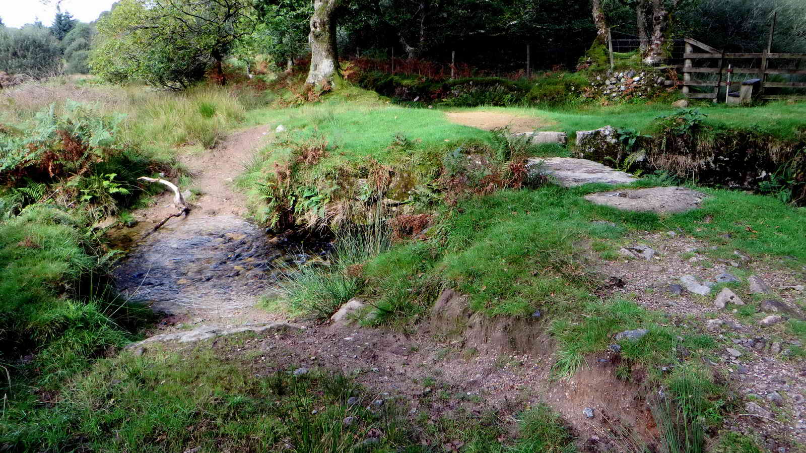
The old ford and clapper bridge .....

A view of the clapper bridge.

The view up the track on approaching Deancombe and bearing left, back to the car park.
MAP: Red = GPS satellite track of the walk.
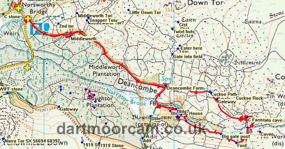
� Crown copyright and database rights 2016 Ordnance
Survey
Licence number 100047373
Also, Copyright � 2005, Memory-Map Europe, with permission.
This walk was reached by driving to Dousland, turning at the Burrator Inn
crossroads towards Meavy, then left to Burrator Reservoir, continuing past the
dam and around the top end of the reservoir, over the small bridge (Norsworthy
bridge) and parking in that area, indicated on the map by the P symbol
and the
yellow cross.
Statistics
Distance - 5.65 km / 3.61 miles
All photographs on this web site are copyright © 2007-2016 Keith Ryan.
All rights reserved - please email for permissions