![]()


This walk: 2016-9-15. Longstone Leat, Scout Hut, Pond Water-crowfoot, 1919 PCWW boundary stone, Yellowmead Down fourfold stone circle, gateway, corn ditch, Eylesbarrow Mine blowing house, covered flue, Dartmoor ponies.
Walk details below - Information about the route etc.
Previous walk/s in this area: 30th September 2009, 15th February 2012 and 4th September 2013,
Link to Google Satellite view of the area including the GPS track of the walk (compare with the Ordnance Survey map plus track below)
Old map
OS Six-inch to the mile, 188-1913

Bridge at the bottom of the Jobbers Road, over the Longstone Leat, just above the Scout Hut car park - formerly Ditsworthy Bungalow was where the Scout Hut is now (in the trees).

View with Sheepstor (left), Sharpitor and Leather Tor (cente "pimples") and Great Mis Tor (extreme right, in the distance).

Zoomed view to Sharpitor (left: SX 560 703, elevation 410 metres or 1345 feet) and Leather Tor (right: SX 563 700, elevation 380 metres or 1246 feet).

Zoomed view to Gutter Tor (SX 578 668, elevation 340 metres (1115 feet).

A floating (not wholly submerged) water crowfoot ..... see next photograph .....

Judging by the rounded segments of the floating leaves, Pond Water-crowfoot (Ranunculus paltatus), reference W. Keble Martin (1969 edn), The Concise British Flora in Colour. Edbury Press, Plate 2.

A PCWW (Plymouth City Water Works) 1919 catchment area boundary stone for Burrator Reservoir: the date year is unusual because they were mostly set up in 1917

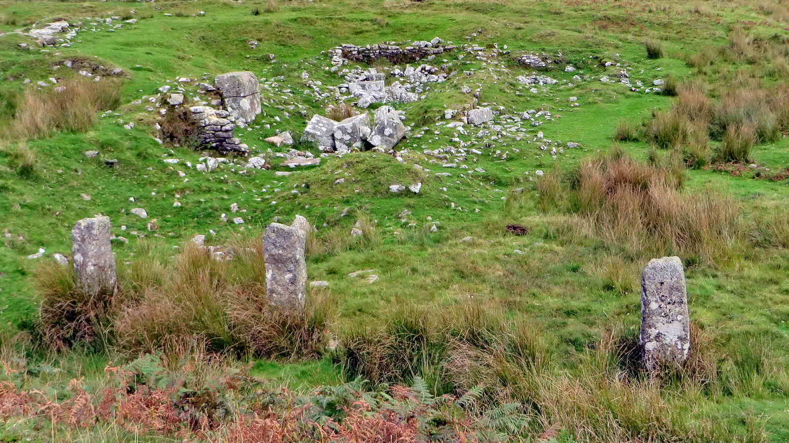
Yellowmead Down fourfold stone circles, SX 5748 6783 ..... The monument was re-erected using its fallen stones by the Rev. Hugh Breton and his assistants in 1921. RN Worth was normally critical of such exercises as being "over-restorations" but in this instance, he "pronounced the restoration to have been very faithful" (from Eric Hemery (1983), High Dartmoor, Robert Hale, London, page 162) ..... Also, see:
Legendary Dartmoor web page (complete with a site plan and the story of the 2008 excavation).
Includes a link to a YouTube video. Also, checkout the menu of other videos on the right side of the web page.

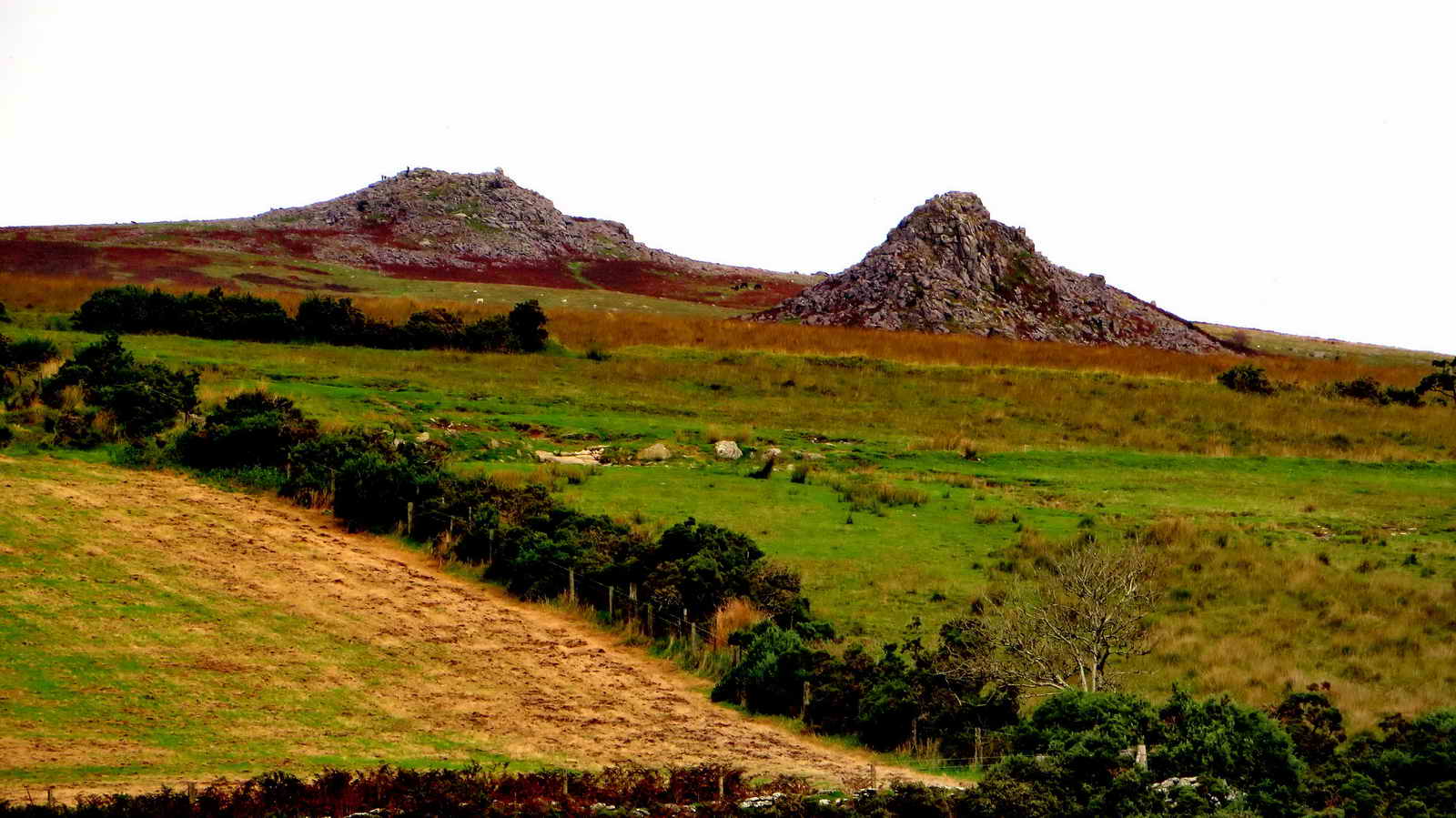
A overview of the site, with Sheep's Tor at the far right. Click the photo to see a larger version.

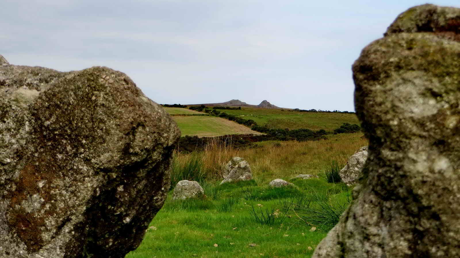
A view of sections of the four stone circles .....

The inner circle .....
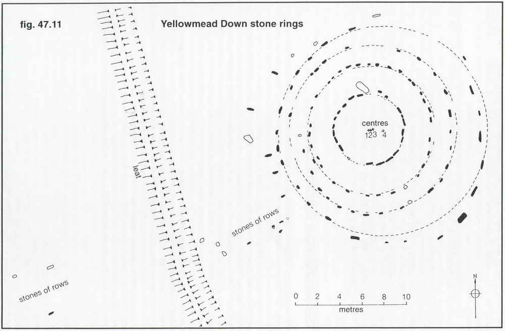
Image � J Butler
1994. Reproduced by kind permission (ref. 29 Sept. 2012).
It is believed that there may have been a small number of stone rows emanating from the circles. The inner slabs have been thought to have been retaining kerb stones for a cairn but nothing is known for certain. Source: Jeremy Butler, 1994, Dartmoor Atlas of Antiquities Vol. 3 - The South West, 14 - Yellowmead Down circles, rows and cairns (fig. 47.11), pages 74-76.
A view of Sharpitor and Leather Tor from the circles .....
Zoomed view, as previously seen.

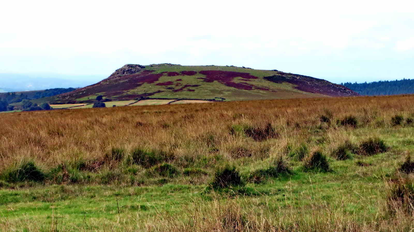
Sheep's Tor main prominence.

Last view.


The corner of Roughtor Plantation, at SX 57775 68308, showing a blocked gateway and the stile into the mine shaft .....

The filled-in mine shaft, in the corner of the walls, there is an adit nearby (SX 57759 68392): I have not yet found which mine these might belong to but Roughtor Mine is not fasr away (500 metrs, at SX 57397 68675).
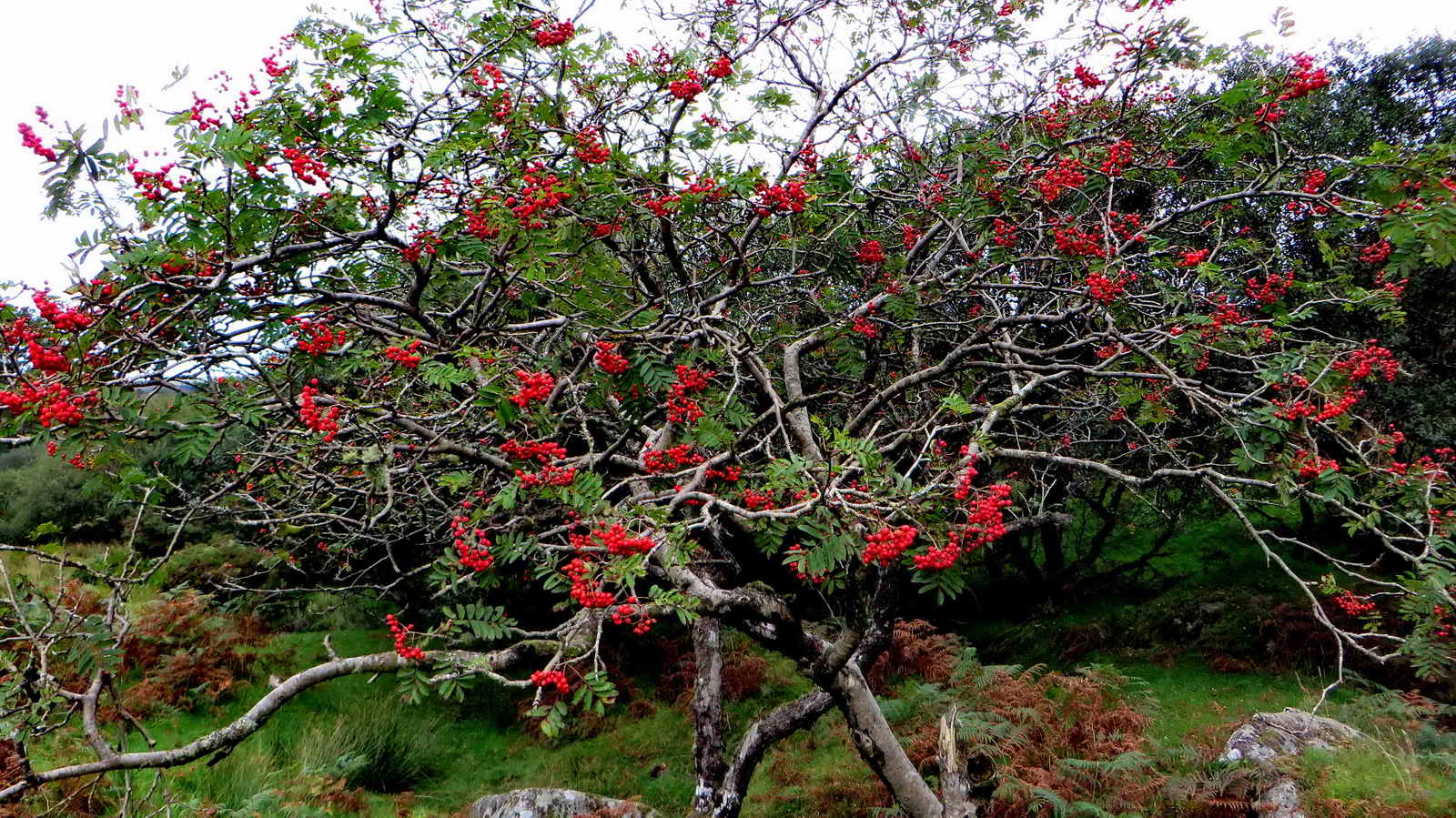
Rowan, or Mountain Ash tree, Sorbus acauparia .....
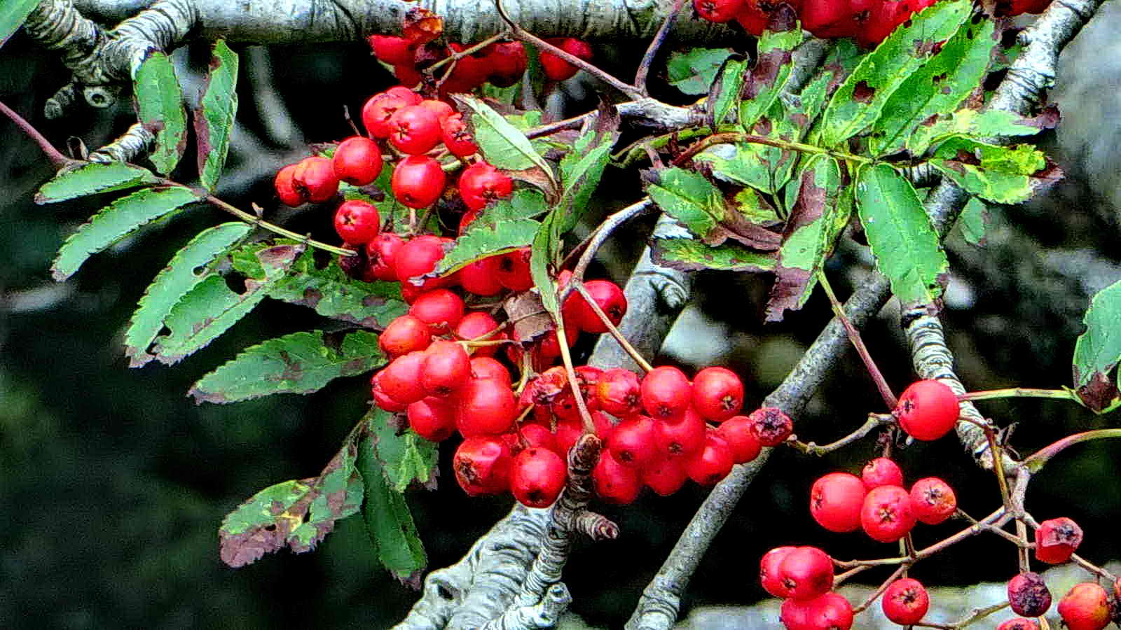
Rowan berries .....
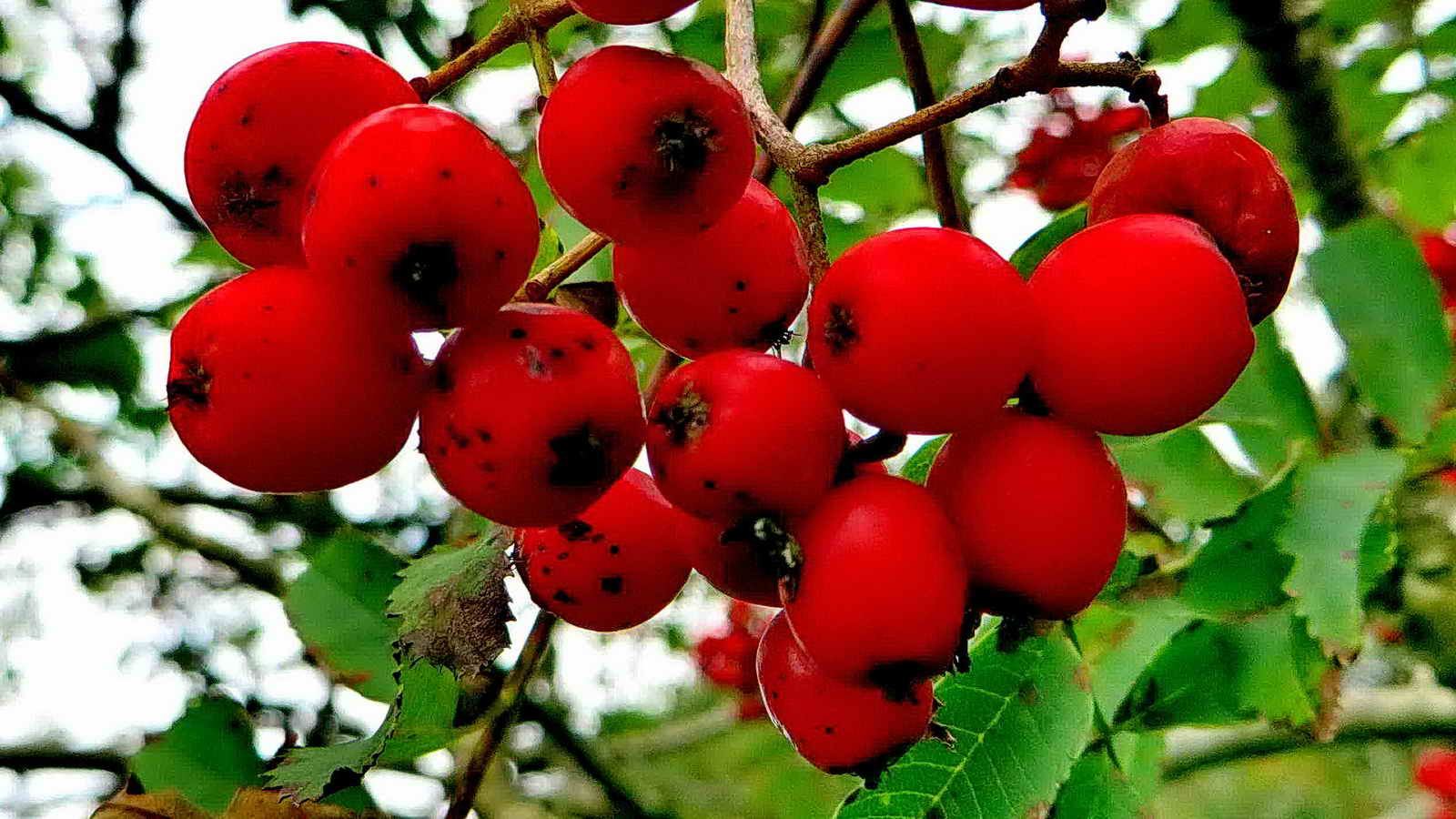
Rowan berries.

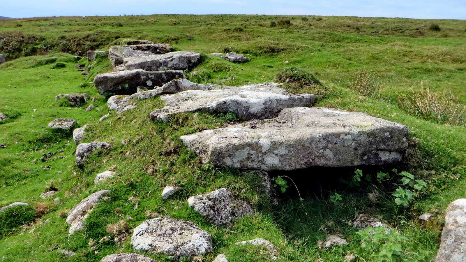
Cist at SX 57995 68280, "Outholme cist". Details: J. Butler (1994), Atlas of Dartmoor Antiquities III 47.10, fig. 47.7 (page 70). Seen on 1st Oct 2009 & 4th Oct 2007. It is named after Outholme Farm which was some distance away: ruins of Outholme Farm were seen on 2nd June 2010.

Image � J Butler
1994. Reproduced by kind permission (ref. 29 Sept. 2012).
The cist has lost its fourth upright stone and its capstone. Source: Jeremy Butler (1994), Atlas of Dartmoor Antiquities Vol. 3 - The South West, 9, 10, 11 Eylesbarrow West huts, enclosures and cairns (figs. 47.6, 7 & 8), pages 68-70.

View to Cuckoo Rock and Combeshead Tor, SX 583 711, elevation 418 metres (1371 feet) . .....

Cuckoo Rock

A corn ditch wall: corn ditches originate from the time when Dartmoor was a royal hunting area and there was a need to keep the King�s deer out of the cultivated land. A stone revetted wall and external ditch faced onto the open moor which deterred deer and other animals from jumping over, whilst the sloping grassy bank on the inner face allowed those animals which had entered to exit again without difficulty .....

A gatepost with an upside-down gate hanger .....

The bottom hanger, covered by grass, was in the normal position.

A stone in a square enclosure that was part of the Eylesbarrow Mine (to be explored on another walk) .....

The oblong shape says it was a once a builing of some sort, at SX 59203 67702 .....

A door lintel?

The granite-lined and covered flue from one of the blowing houses to work on Dartmoor .....
Closer view, at SX 59174 67660 .....

Part of the smelting house .....

As previous photograph .....
As previous photograph.
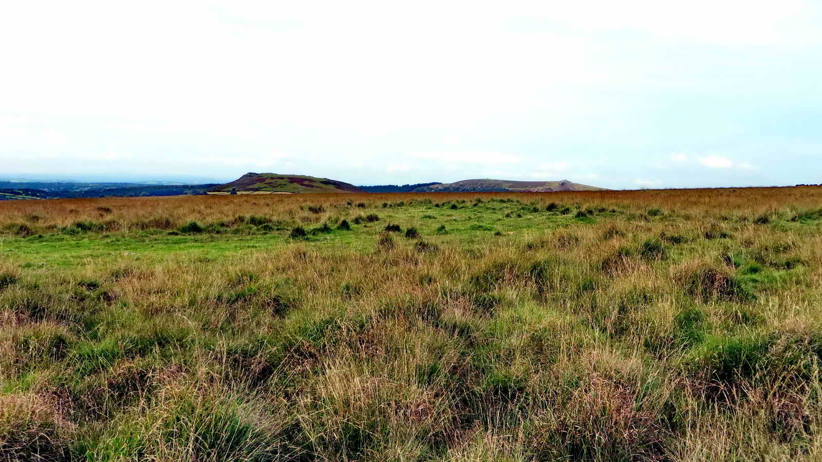
A wide, open view over the top of the hill from Eylesbarrow to the Scout Hut.
Sheep's Tor.
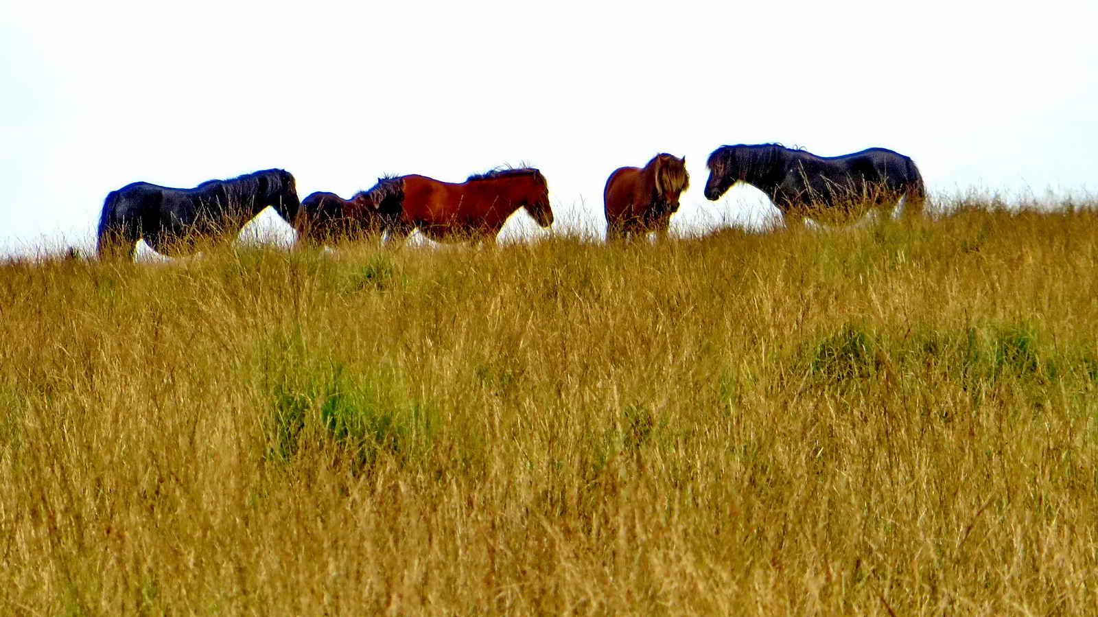
Zoomed view to Darrtmoor ponies on the skyline.

A tuft of sphagnum mosses growing among the grasses on the hill top.
MAP: Red = GPS satellite track of the walk.

� Crown copyright and database rights 2016 Ordnance
Survey
Licence number 100047373
Also, Copyright � 2005, Memory-Map Europe, with permission.
The walk is most easily approached by driving over Burrator Dam, through
Sheepstor, until reaching a left turn to Nattor. Parking is at the
P
symbol on the map
, marked more precisely by the yellow cross..
Statistics
Distance - 6.36 km / 3.95 miles
All photographs on this web site are copyright © 2007-2016 Keith Ryan.
All rights reserved - please email for permissions