![]()


This walk: 2016-3-23. Fernworthy Forest, Froggymead stone circle etc, blowing house, Teignhead Farm, Manga Farm, Starkey Memorial Stone, Royal Marine Memorial Stone.
Walk details below - Information about the route etc.
Where we walked: Google Satellite view of the area - including the GPS track of the walk (compare with the Ordnance Survey map plus track below)Previous walks in this area: 14th Dec. 2007 and 14th April 2008.

The road in Fernworthy Forest, near the car park.

Passing the stone rows and circle at Froggymead - a walking group seemed to be hiding behind the large stone!

Teignhead Farm seen over the gate at the forest edge.
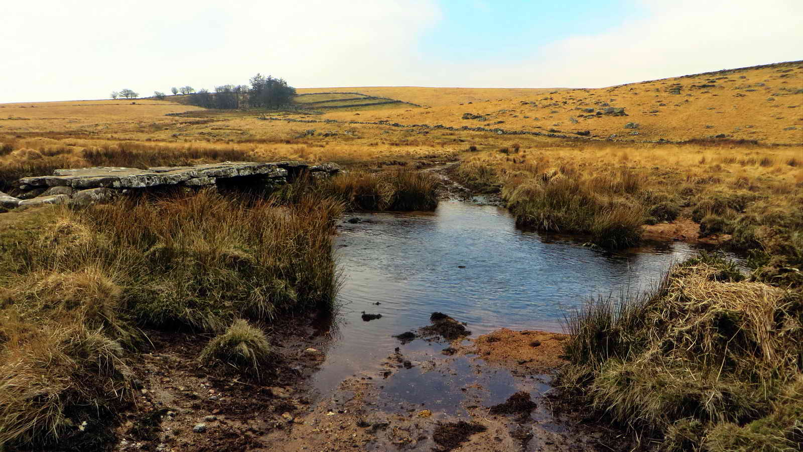
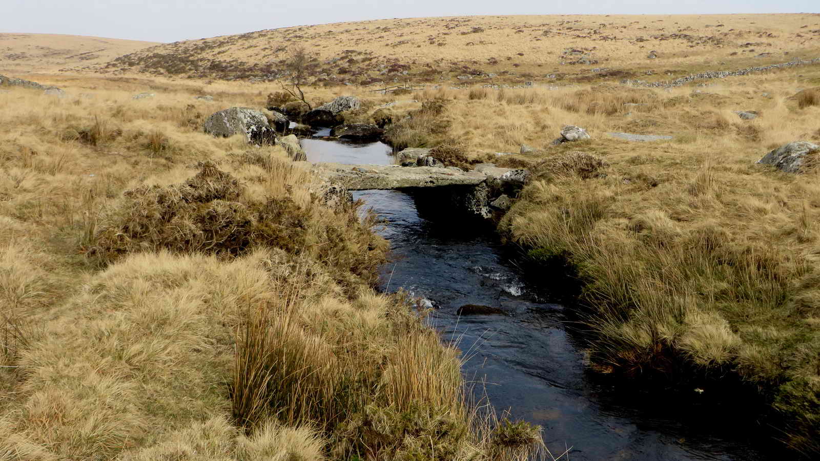
The clapper bridge over the North Teign River with Teignhead Farm beyond.
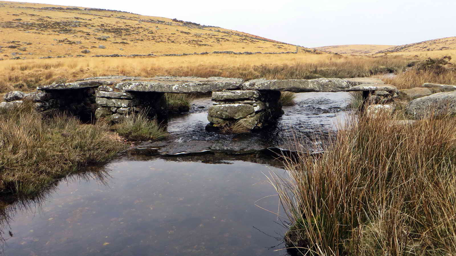
The clapper bridge.
Another view.
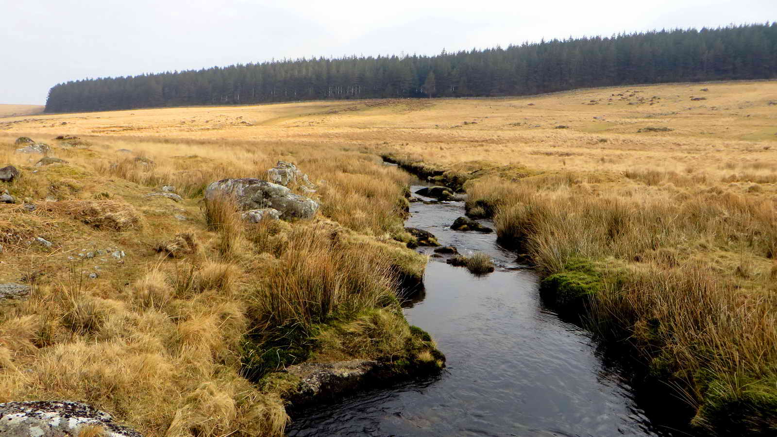
Looking down the river.
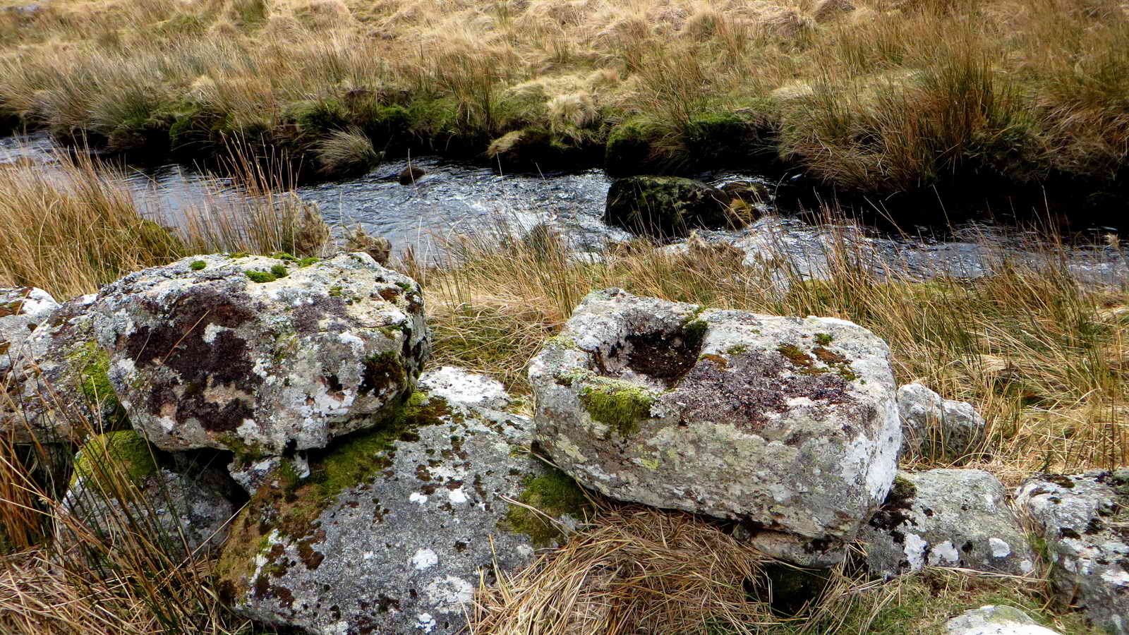
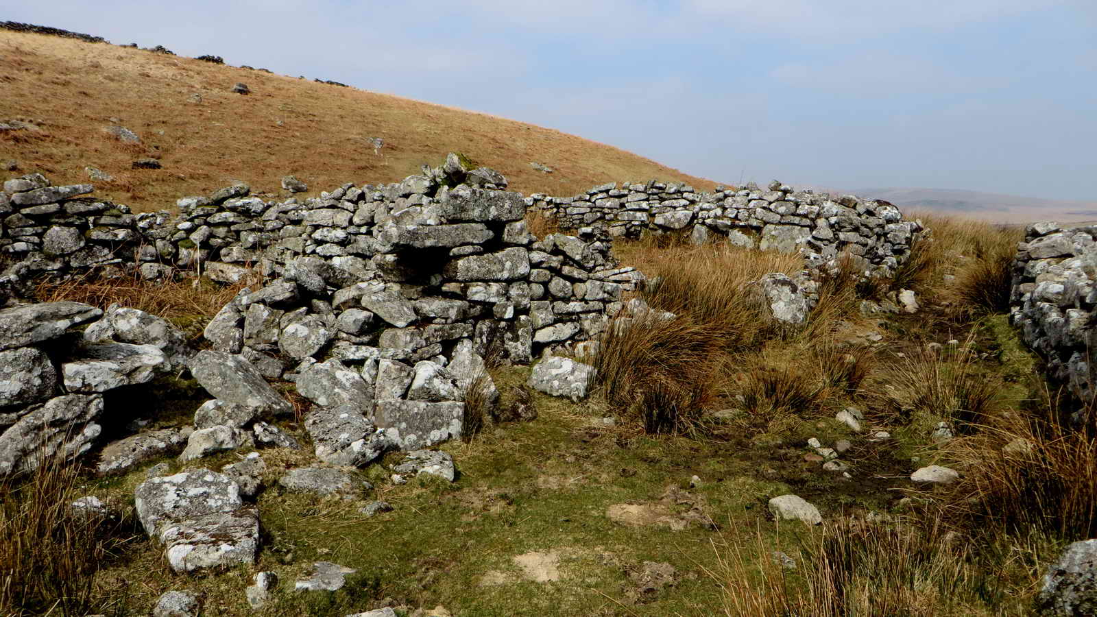
A tinner's mold stone on the ruined wall of the blowing house at SX 63784 84264 .....
A view of a ruined wall of the blowing house.
The mold stone again.
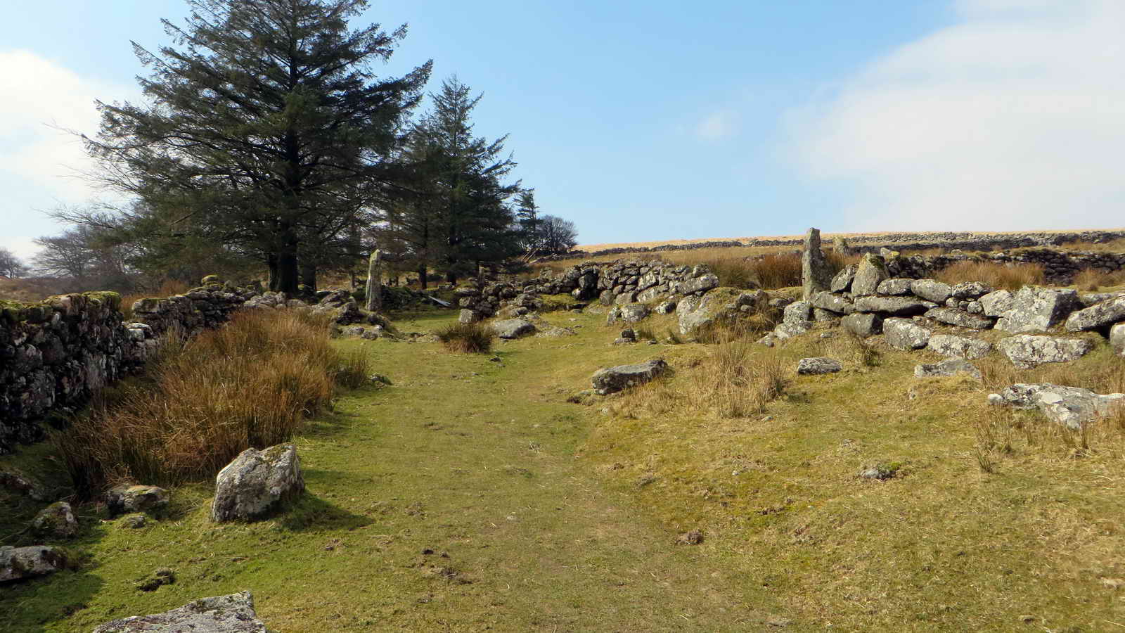
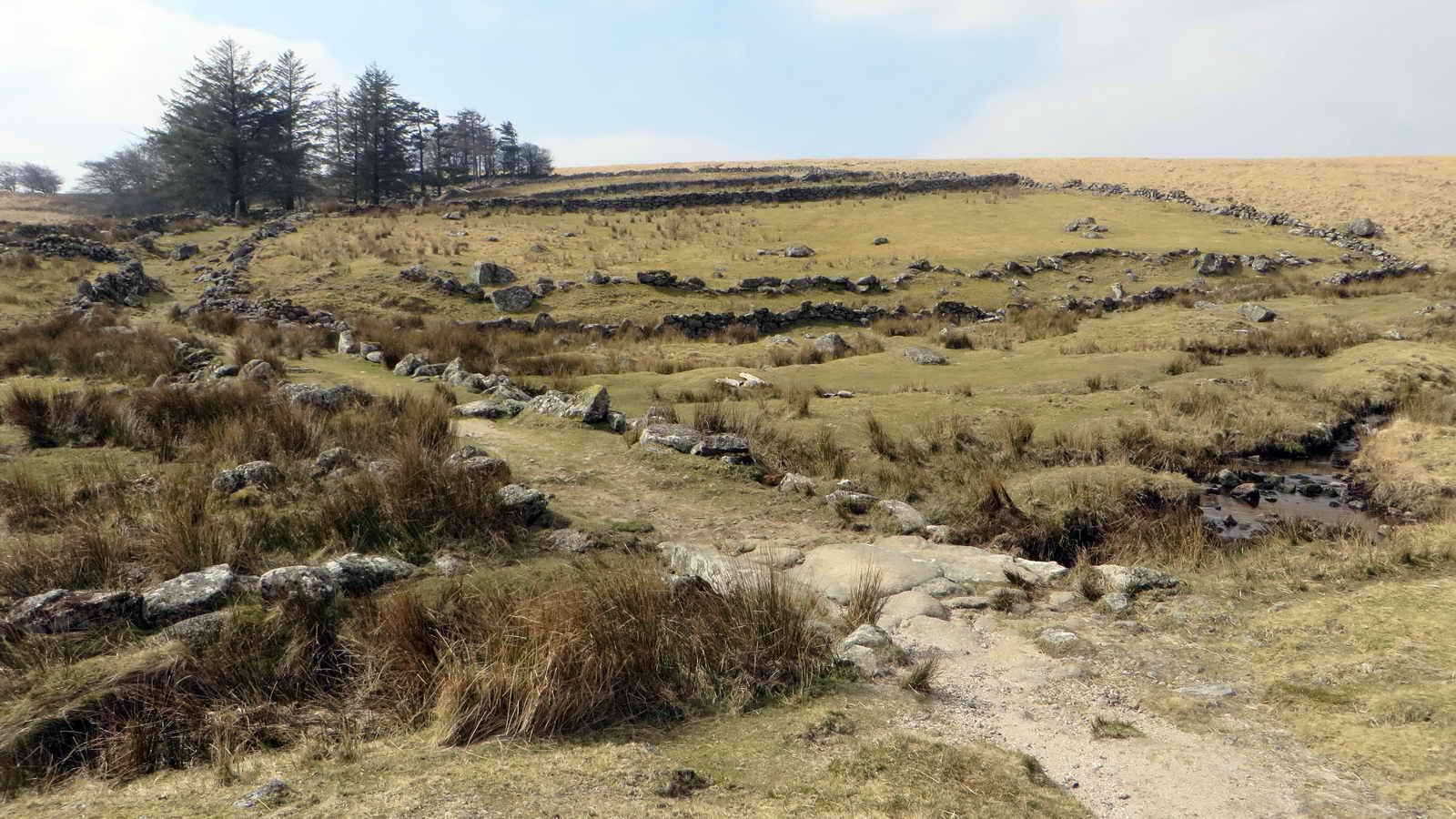
Entering Teignhead farm .....

A farm view, into an in-bye field .....
More gate posts ..... note the slots, seen edge-on .....

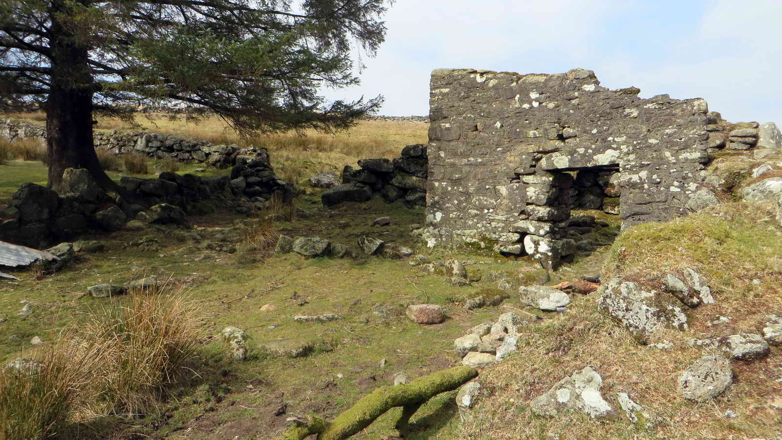
Part of the farm house .....
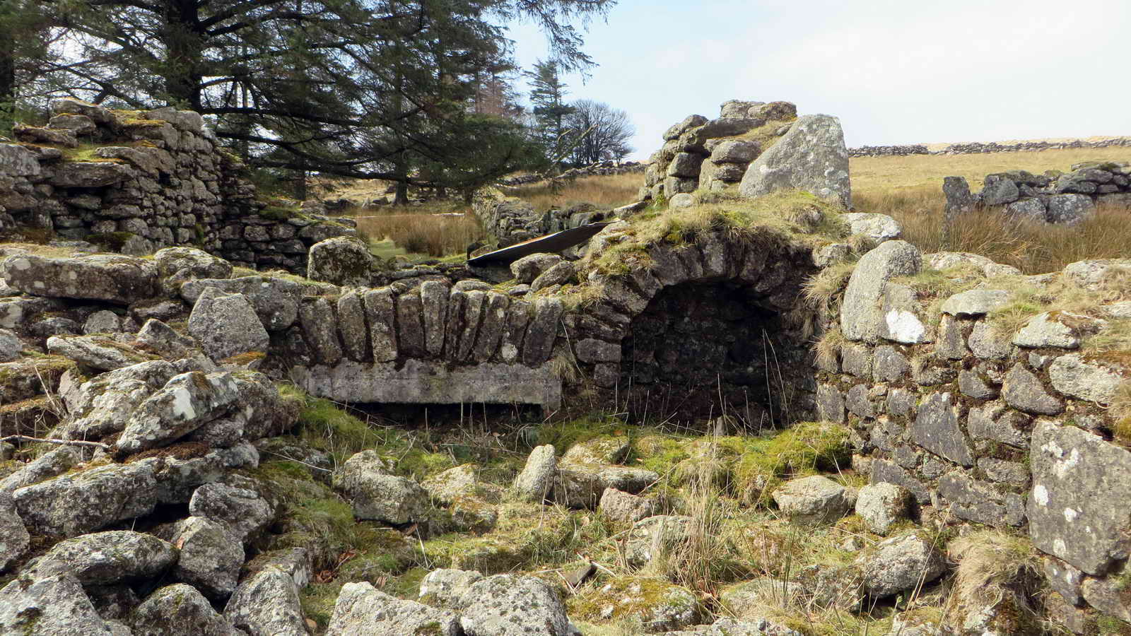
Detail of the fireplace .....
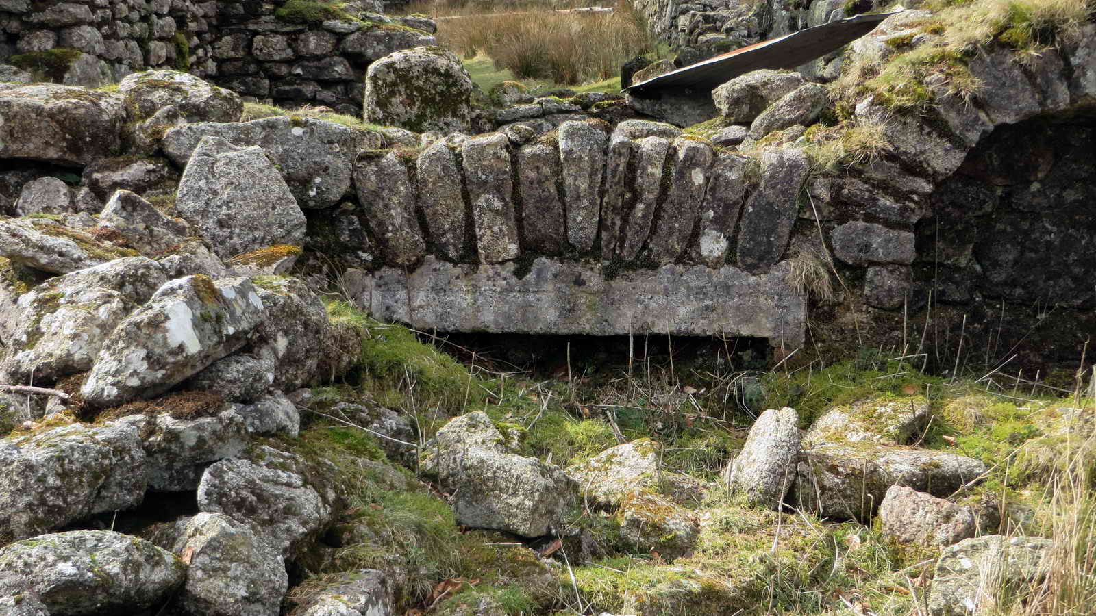
As previous photograph .....
Another building .....

As previous photograph .....
Small clapper over Great Mire Stream.

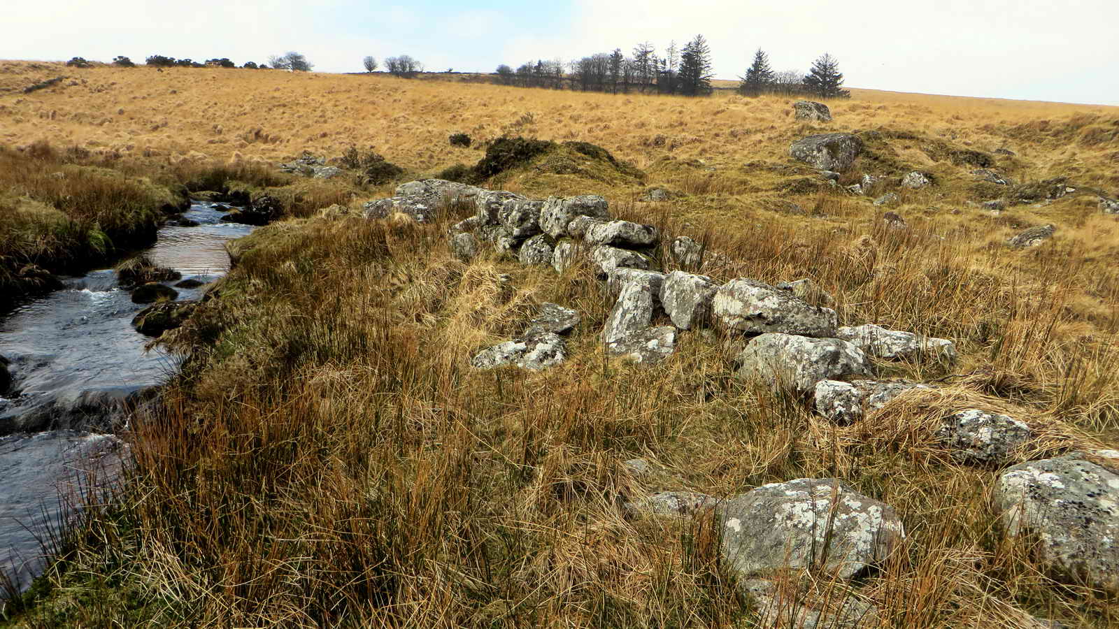
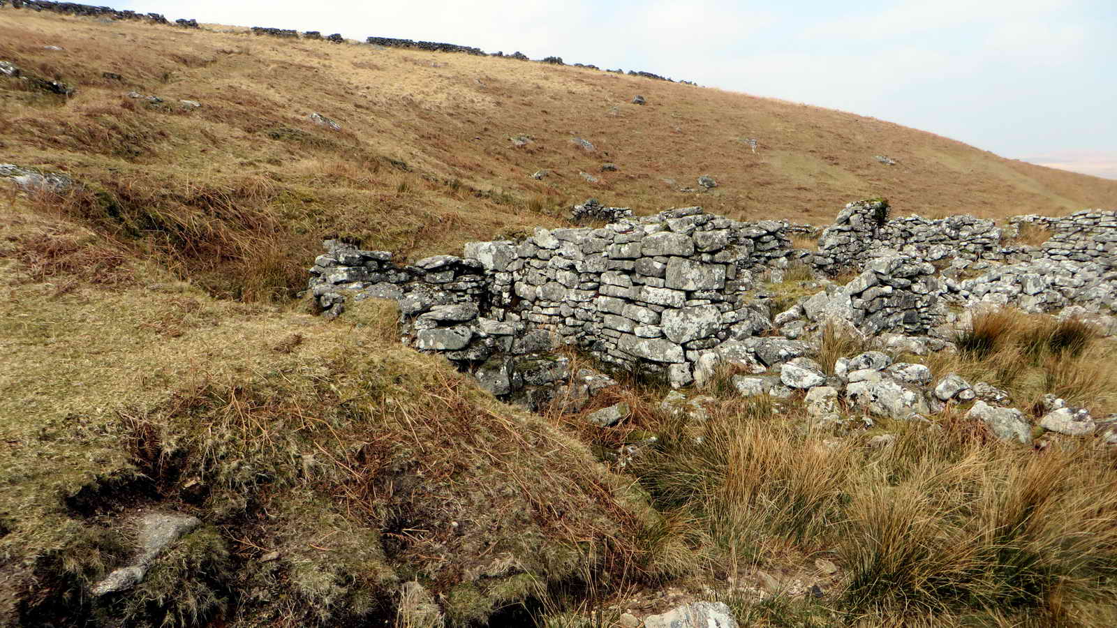
Wall feature seen on the way to Manga Farm .....

Zoomed view.

Approaching Manga Farm ..... Click the image to see a larger version.
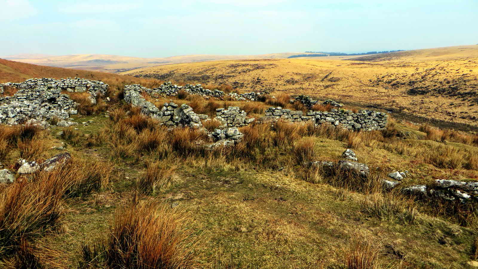
General view of the ruins - also known as Manga House or Mandles ..... this was a three-roomed house with a thatch roof. It was used as a squat in the 1980s, with tin roofing.
Another view.
| Dartmoor CAM movie. TIP .....
press F11 to make more "Full Screen", remembering to press it again to regain Normal Screen. A panorama of the ruins. |
|
Click the photo to download File size: 5.6 MB. Length 33 secs |

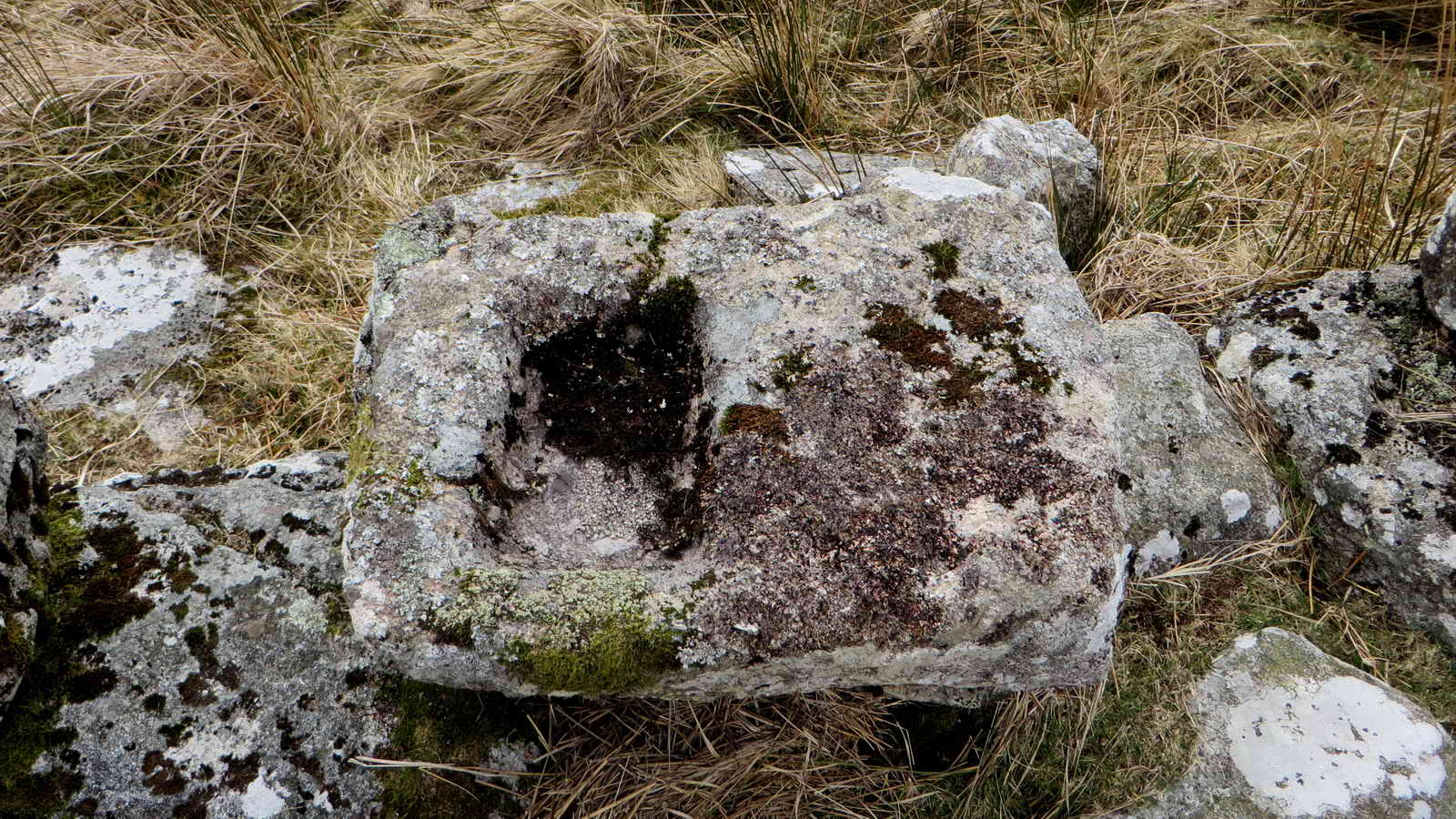
A large trough in the floor?
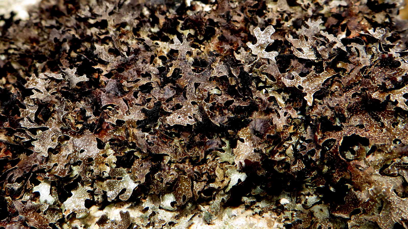
Some of that lichen!
General view

Drift lane leading to Manga Farm, known as Manga House Lane.

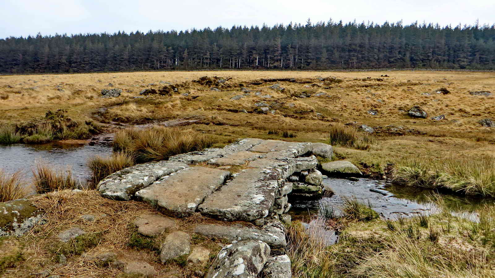
Looking down towards the river, with a small clapper bridge at bottom centre .....

Zoomed view .....
The bridge .....

The clapper bridge with the Fred Starkey Memorial Stone, at right, he was a well-known guide .....
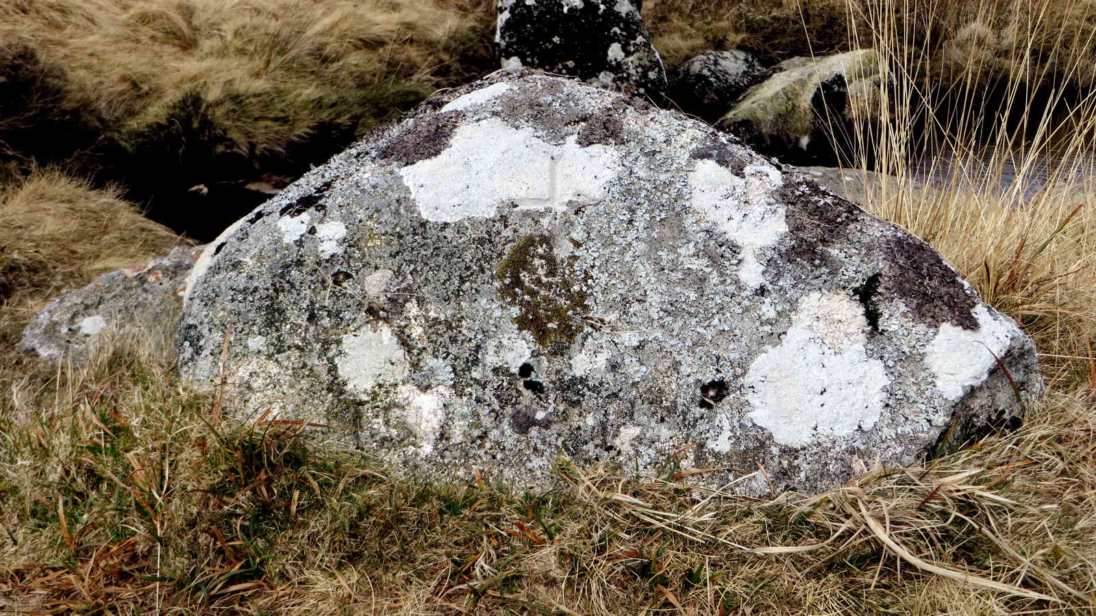
The stone, at SX 64002 84640, with the simple cross barely discernible. It is inscribed FHS 1912-1989. It is seen better in the walk on 14th April 2008.
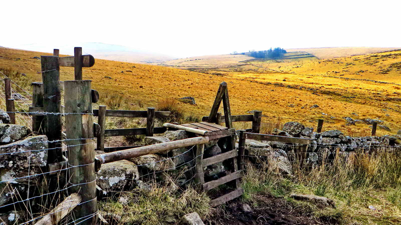
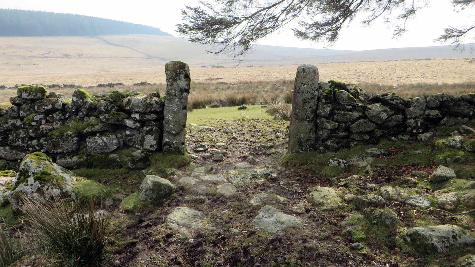
Stile at the corner of the forest, with Teignhead Far, beyond; there is also a gate nearby, down to the right .....

Another view.

Root ball of a wind-blown tree, this probably weighs a lot - even thos stones are heavy!

The Royal Marine Memorial Stone, at SX 64759 85011 .....
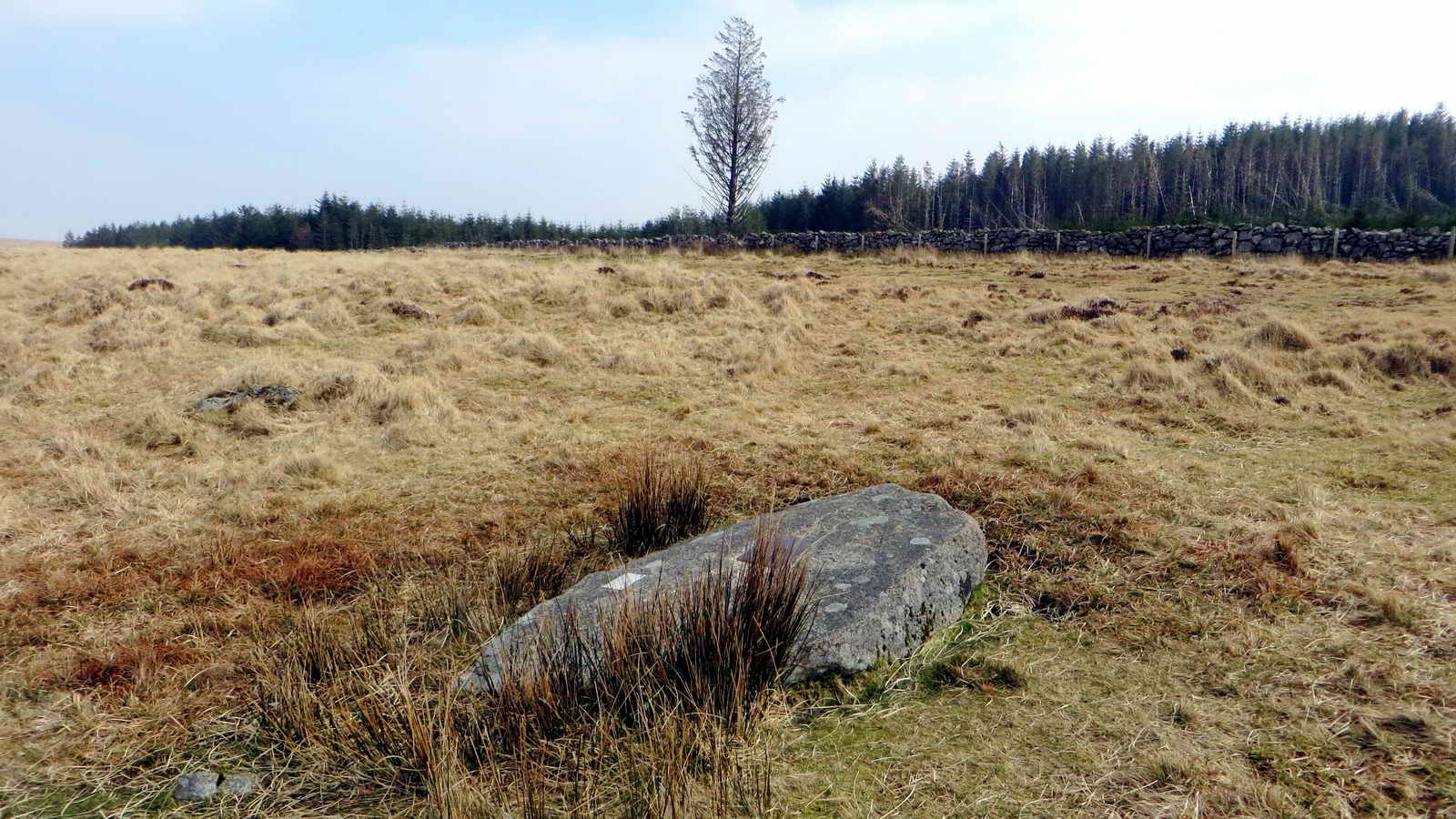
View showing the location of the stone in relation to a lone tree in the forest .....
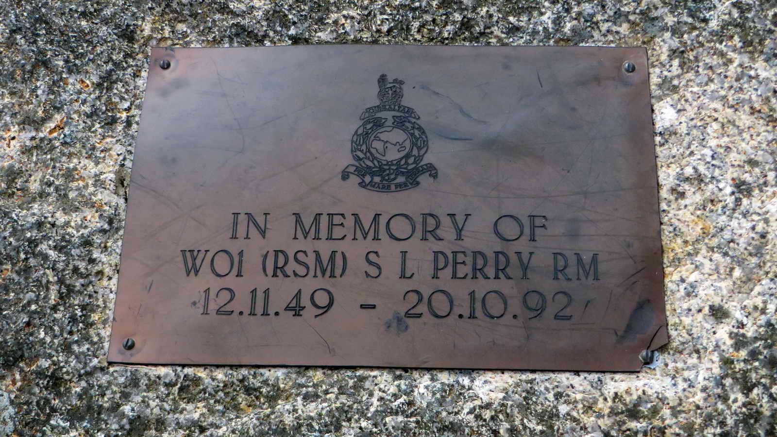
One of the plaques .....

Another plaque .....

W.O.1. (RSM), SL Perry, Royal Marines, 12.11.49 - 20.10.92.
From: Moretonhampstead History Society .....
In memory of WO 1(RSM) S.L.PERRY RM 12.11.49 �20.10.92. The inscription is carved on a large piece of natural granite, and carved above it is the Crest or Badge of the Royal Marines. I am grateful to the Information Centre at Postbridge for the following: �RSM Perry was the Regimental Sergeant Major of the Commando Training Centre at Lympstone. At the end of a Royal Marine's commando training, the marine, as part of his unit, has to march for 30 miles with full equipment and the full unit has to complete the march in a set time. RSM Perry was overseeing one of these exercises when he had a heart attack and died. He was a very fit man and his death was unexpected. His family and friends placed the stone as a memorial to him at the spot where he died. The stone was originally upright but is now on its back.�
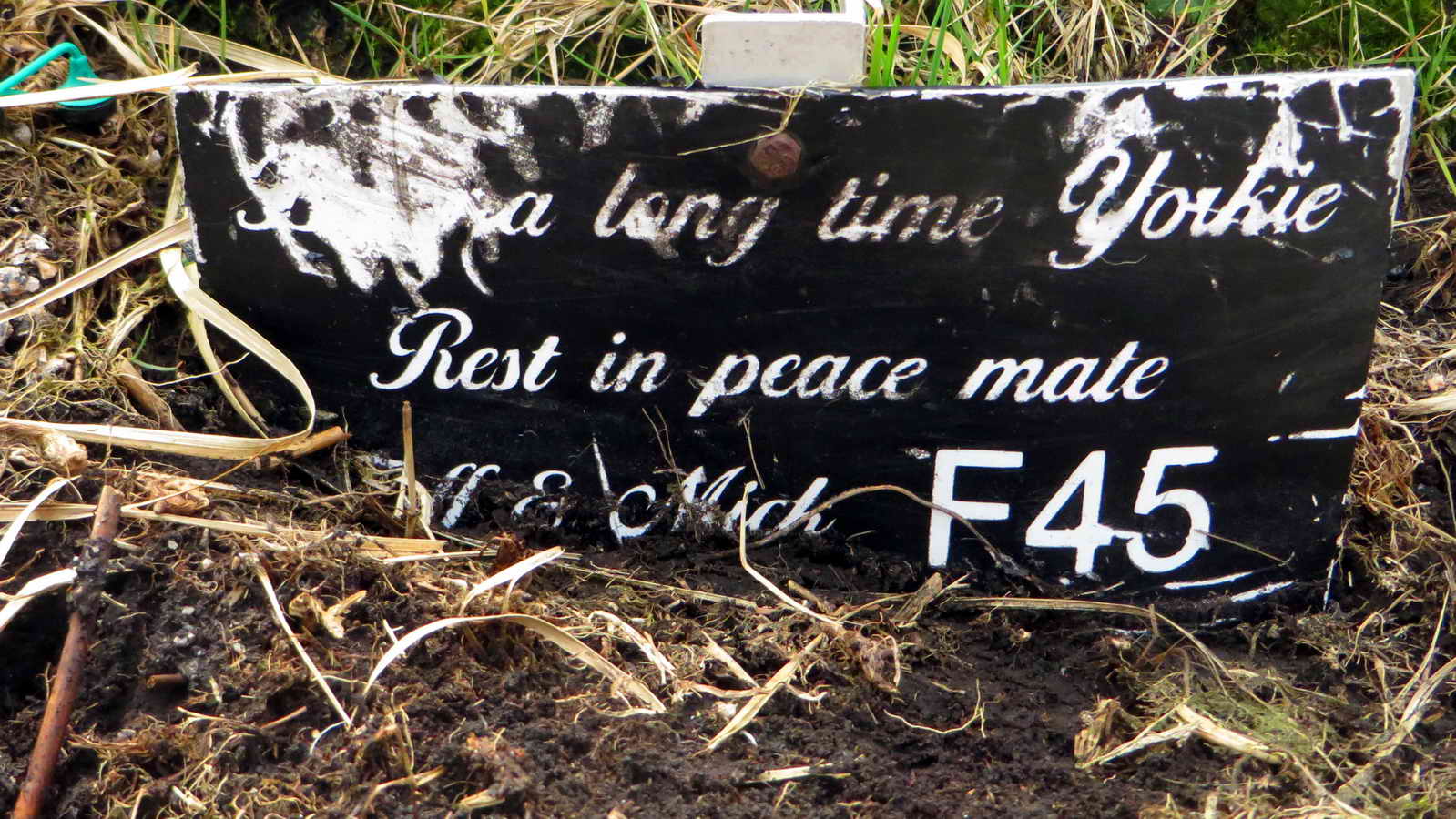
Another plaque.
After leaving the memorial, access was gained into the forest through a small gate at SX 64675 84933, after which a walk of 100 metres on a bearing of 195� brings you to one of the main forest roads.
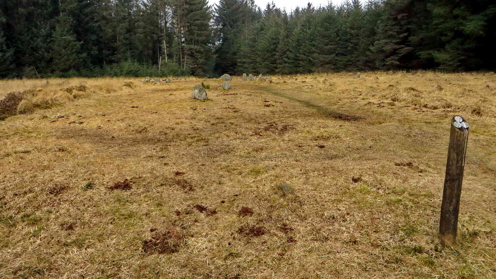
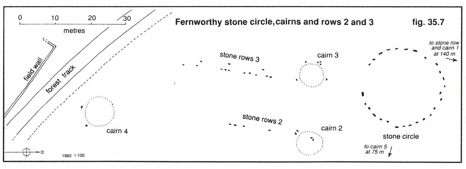
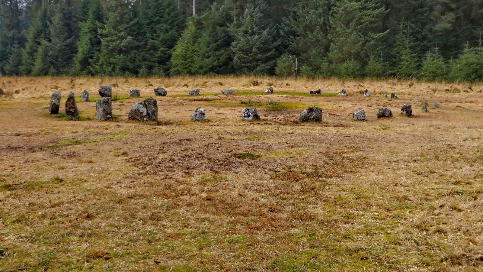
The circle, rows and cairns at Froggymead in Fernworthy Forest. According to Butler, the circle dates from perhaps 4,000 years ago ..... there are 27 stones in the circle which is about 20 metres in diameter ..... there are altogether 5 cairns and three stone rows ..... one cairn and a double stone row are 140 metres to the north-ish.

The stone circle seen from the east.
|
|
The site is described in J. Butler (1991), Dartmoor Atlas of Antiquities II, The North. 35.15 Fernworthy stone circle, rows and cairns (figs. 35.7 & 35.8), pages 162-165.
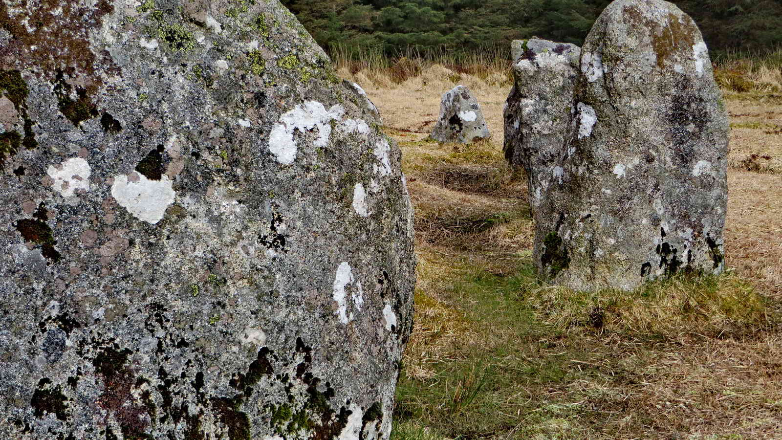
Section of the stone circle .....
Section of the stone circle .....
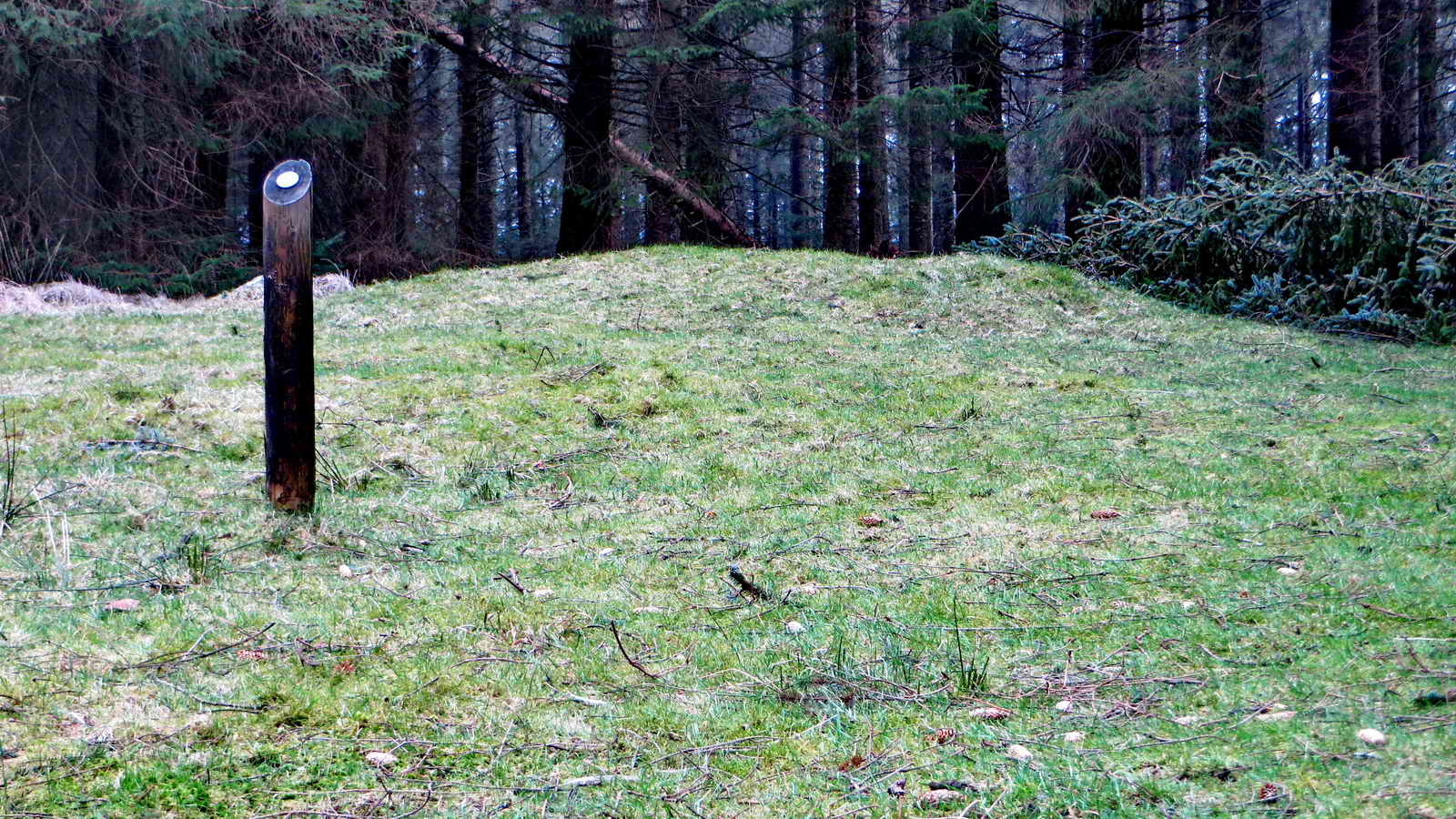
Cairn 5.
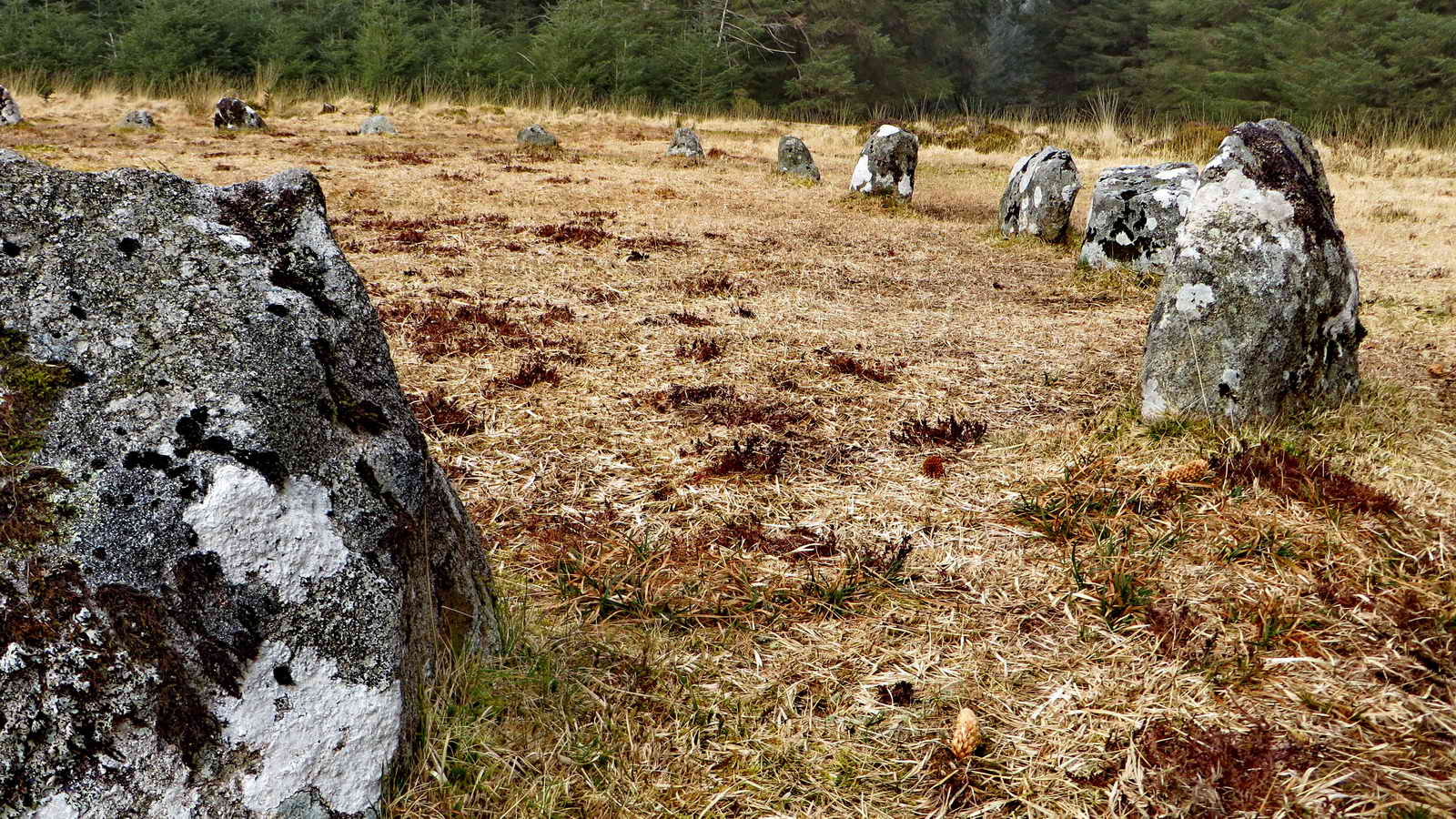
Another view of the circle .....
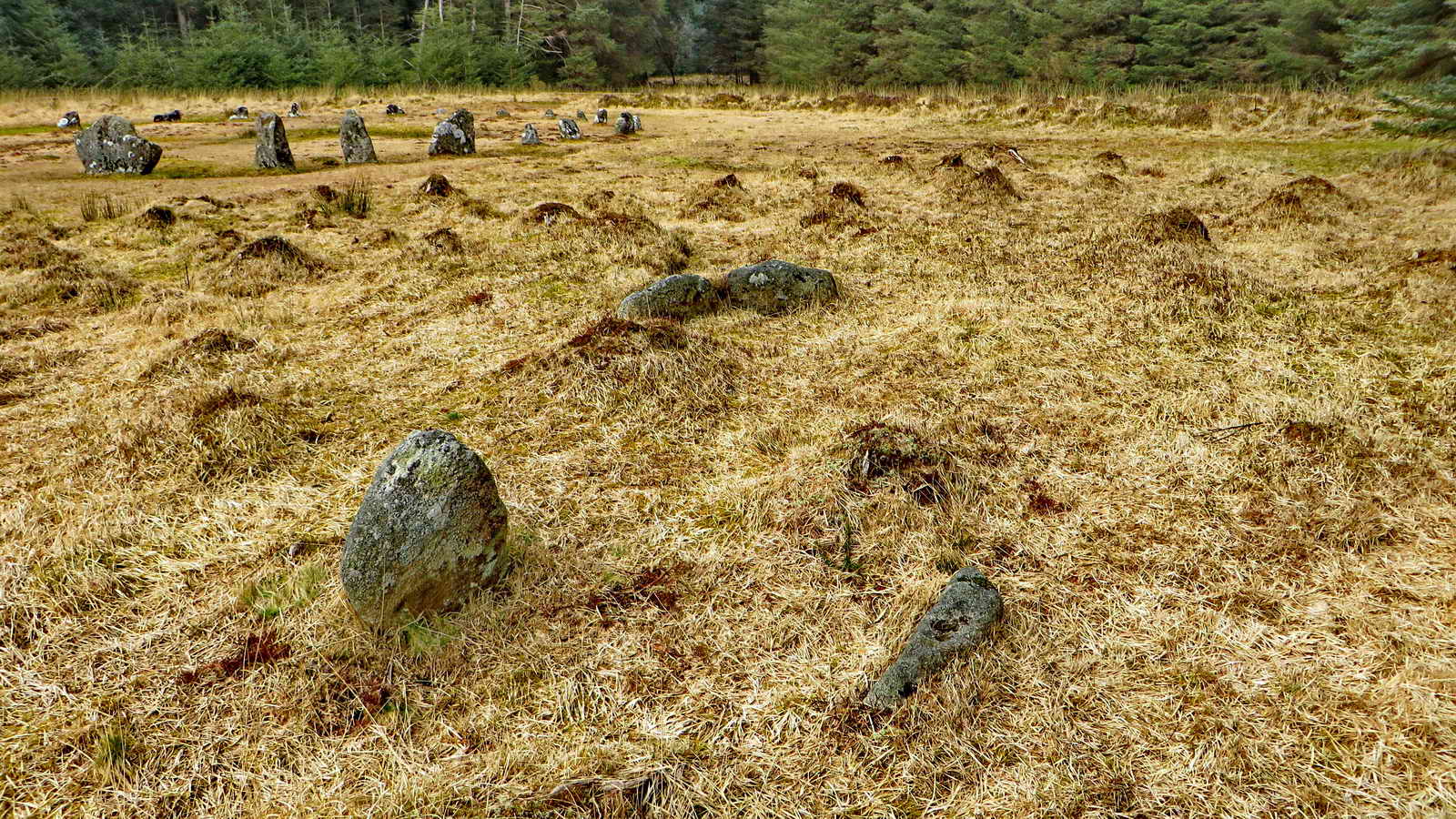
Double stone row 2, with the circle to the far left.
MAP: Red = GPS satellite track of the walk.
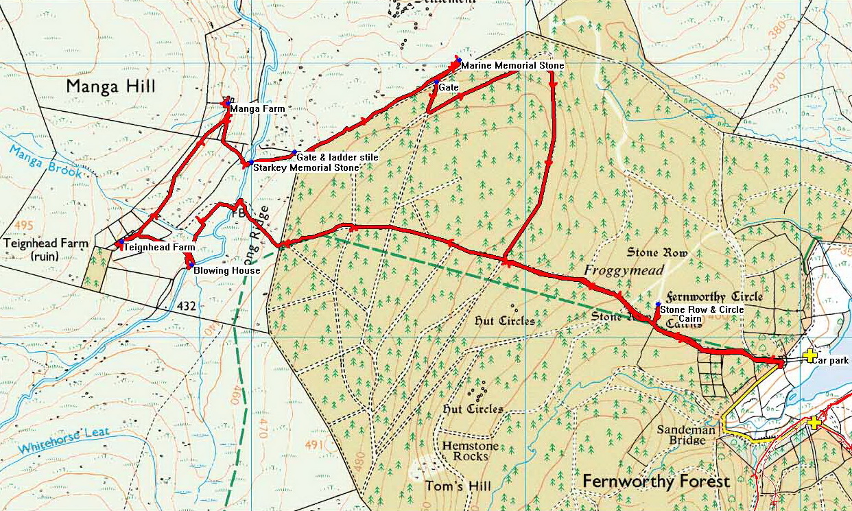
© Crown copyright and database rights 2015. Ordnance Survey. Licence number 100047373. Use of this data is subject to terms and conditions.
Also, Copyright © 2005, Memory-Map Europe, with permission.
This walk was reached by driving to the far end of the road around Fernworthy Reservoir., parking at the yellow cross.
Statistics
Distance - 8.3 km / 5.16 miles.
All photographs on this web site are copyright © 2007-2016 Keith Ryan.
All rights reserved - please email for permissions