![]()


This walk:2015-7-29. Magpie Viaduct, buddleia, Cycle Route 27, Himalayan honeysuckle, Brentor, Middle Staple Tor, GHeat Staple Tor, Great Mis Tor, Pew Tor, Screw Bridge, Gem Bridge, River Walkham, Wheal Franco Mine.
Walk details below - Information about the route etc.Old maps .....
Link to the 1884 Ordnance Survey map of the area (Scale: 6-inches to the mile) - click or thumbwheel into the top left area on the map.
Where we walked: Google Satellite view of the area - including the GPS track of the walk (compare with the Ordnance Survey map plus track below)
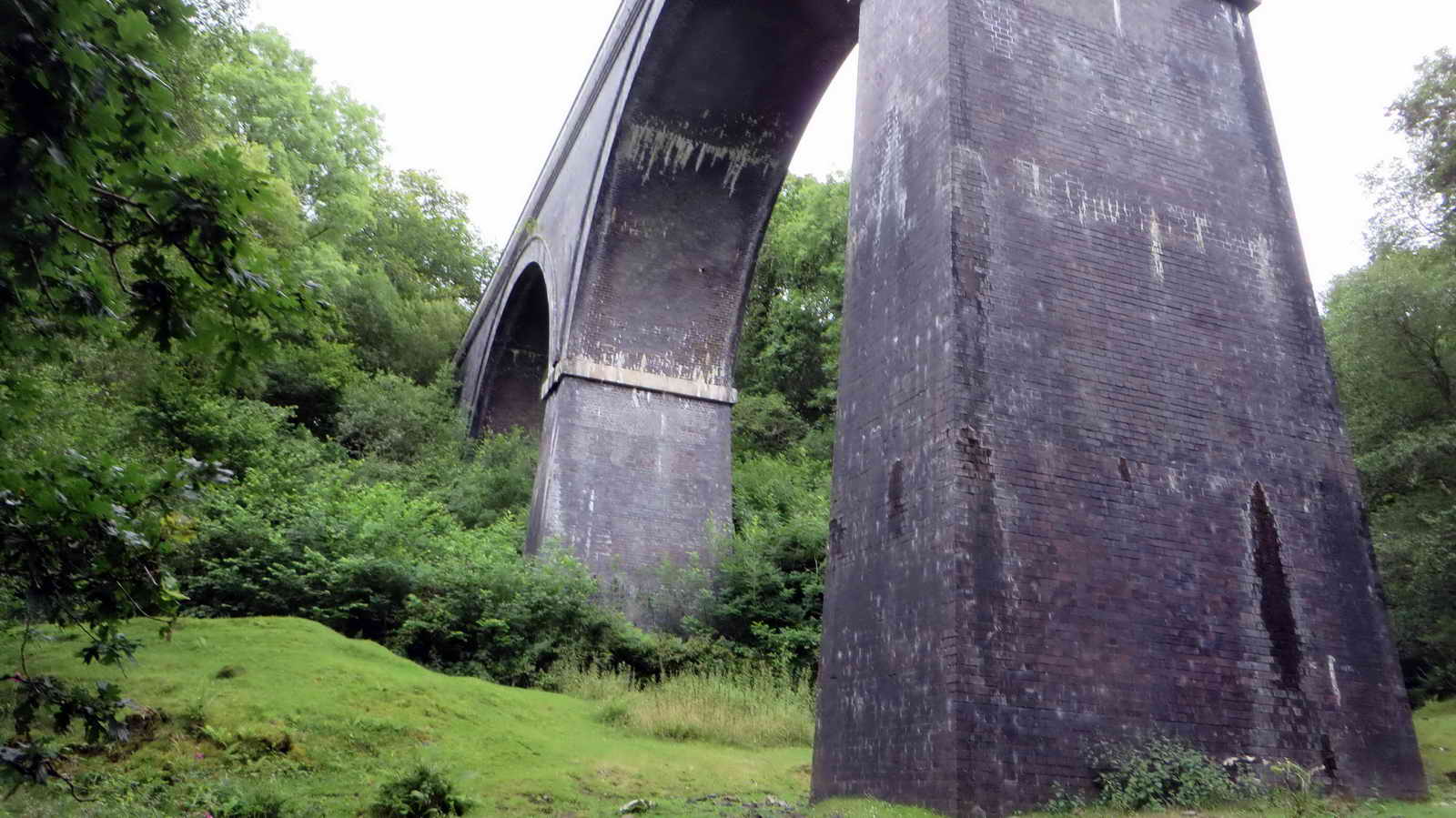
Magpie Viaduct, 216 yards long, 62 feet high, originally built 1856-1859, by Brunel, replaced 1902 with Blue Staffordshire brickwork........ 1859 was also the year that Brunel's railway bridge across the Tamar was opened ..... hidden in the trees, to the right of the viaduct, are the original brick-built piers that supported Brunel's original wooden trestles that carried the railway.

View from the viaduct - a sea of trees.

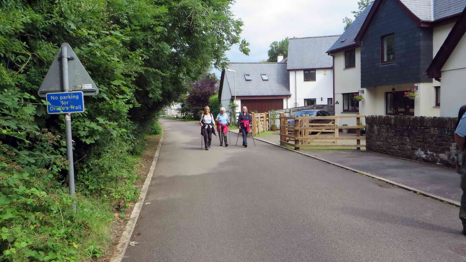
Happy, smiling Strollers.

Massive seats at SX 50675 69896.
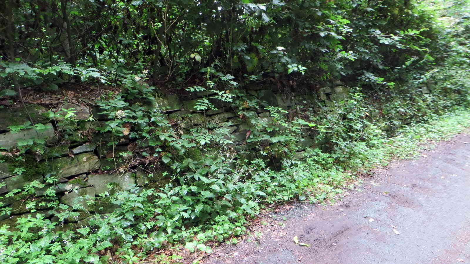
We remember when this track was new and these stone walls were bare.

Buddleia, blowing in the wind.

At the entrance to the Drake's Trail cycle path section.
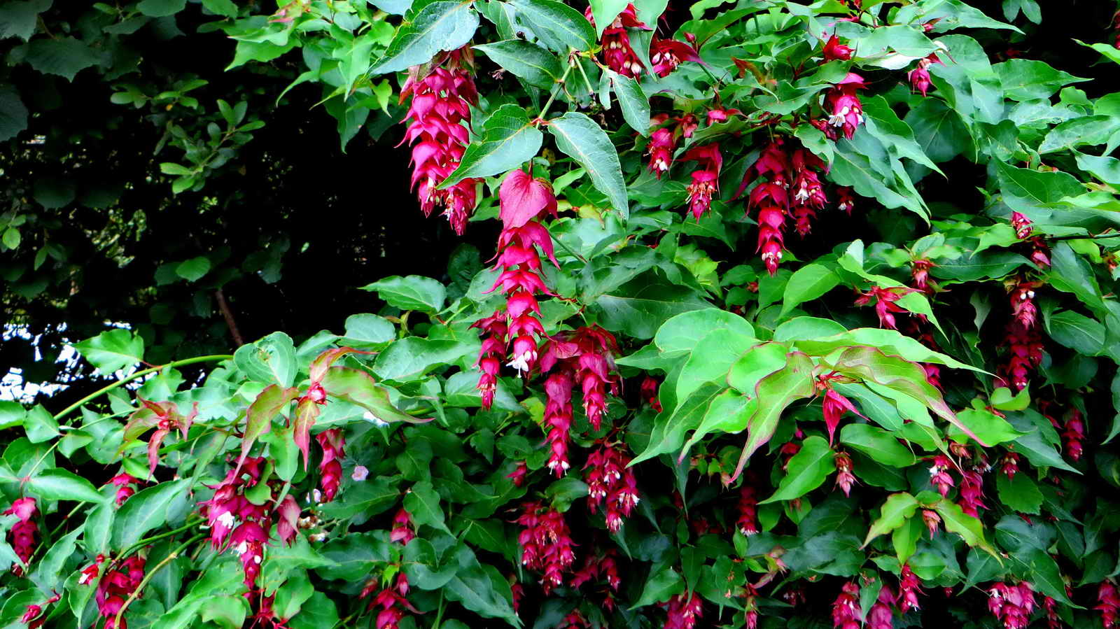
An Indian plant (our old ex-India neighbours had it in their garden as a reminder of their days in the British Raj): Himalayan honeysuckle, Leycesteria formosa.....
As previous photograph, a garden escapee, invasive in several countries - the remaining white flower identifies it as "formosa" rather than the golden yellow-flowered "crocothyrsos".
Notices at the start of the cycle track section.
Click on the image to see a large version.

House name marked on the OS 1:25k map.
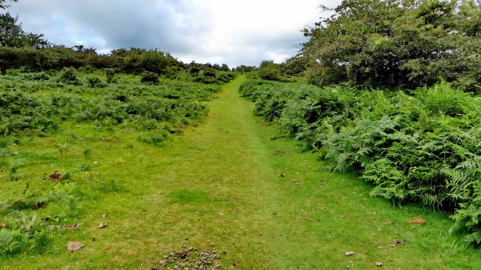
The path ahead, there is a lot of bracken on the Common.
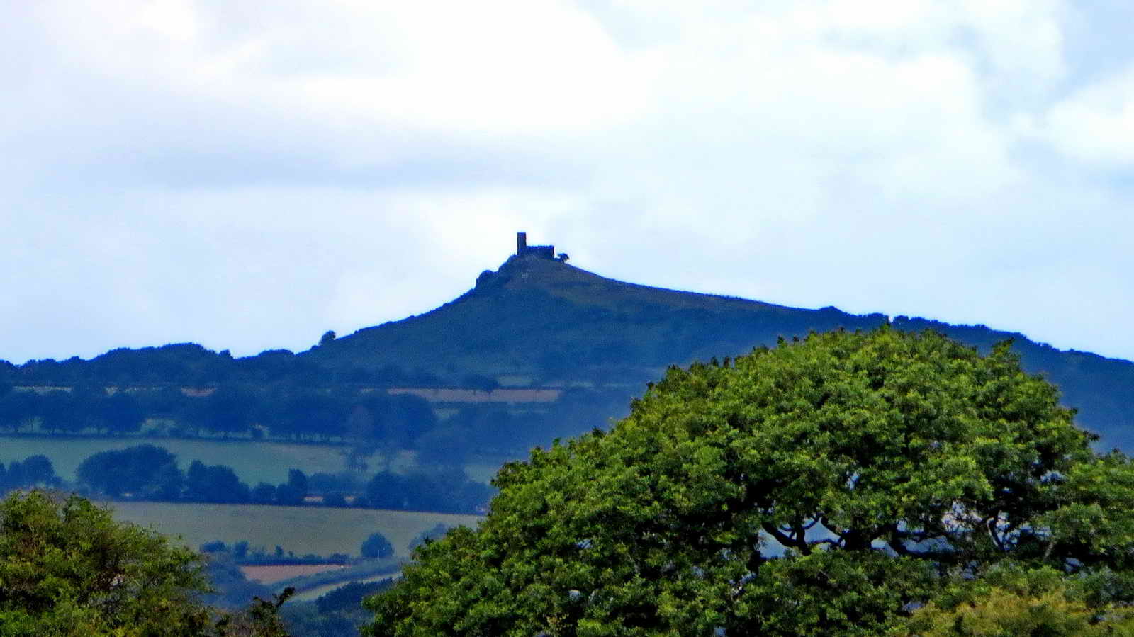
Zoomed view to Brentor, 10.8 km (6.7 miles) distant on a bearing of 343� - it was very hazy in the distance.
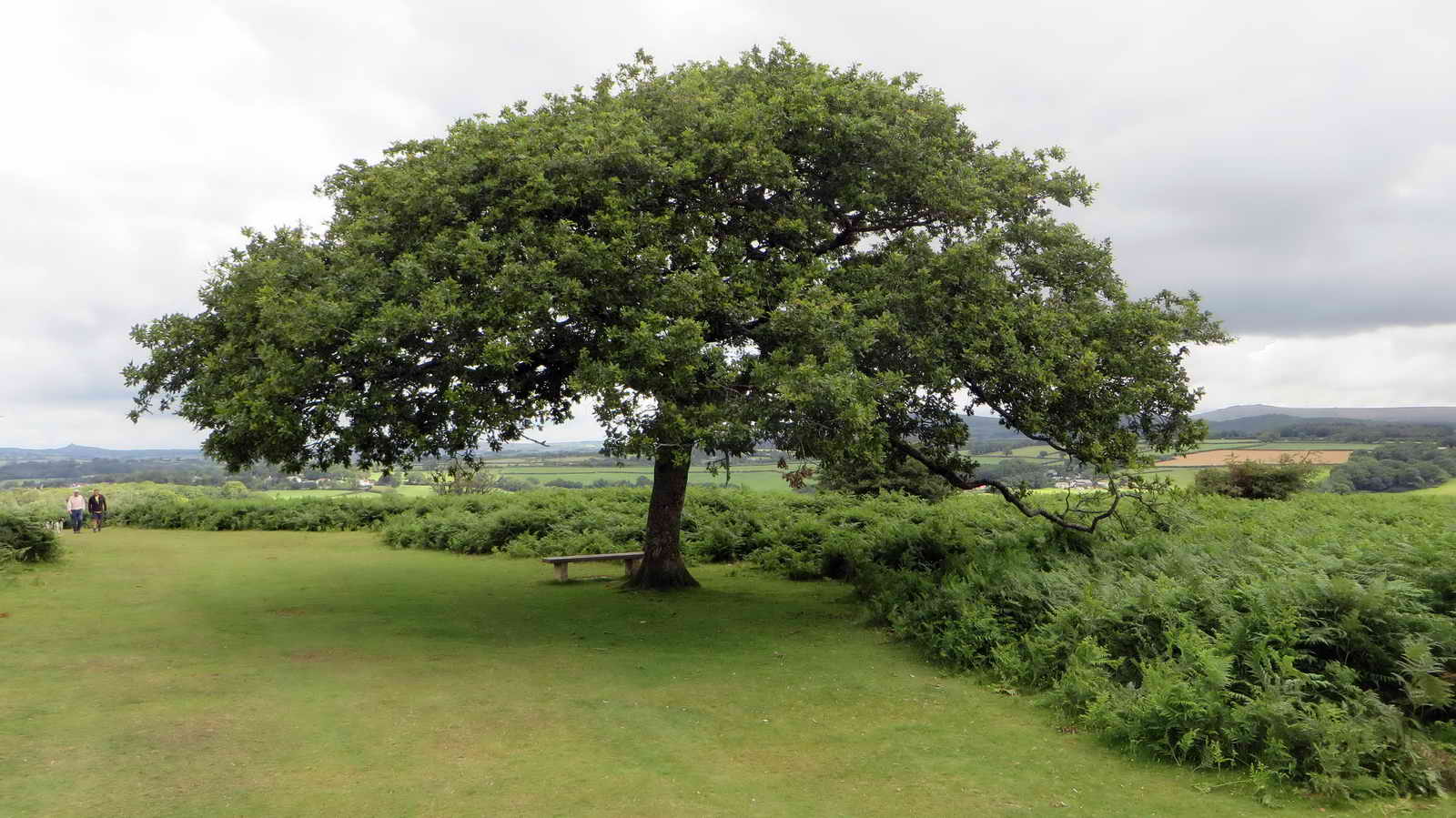
Tree and bench at SX 49940 69911 .....
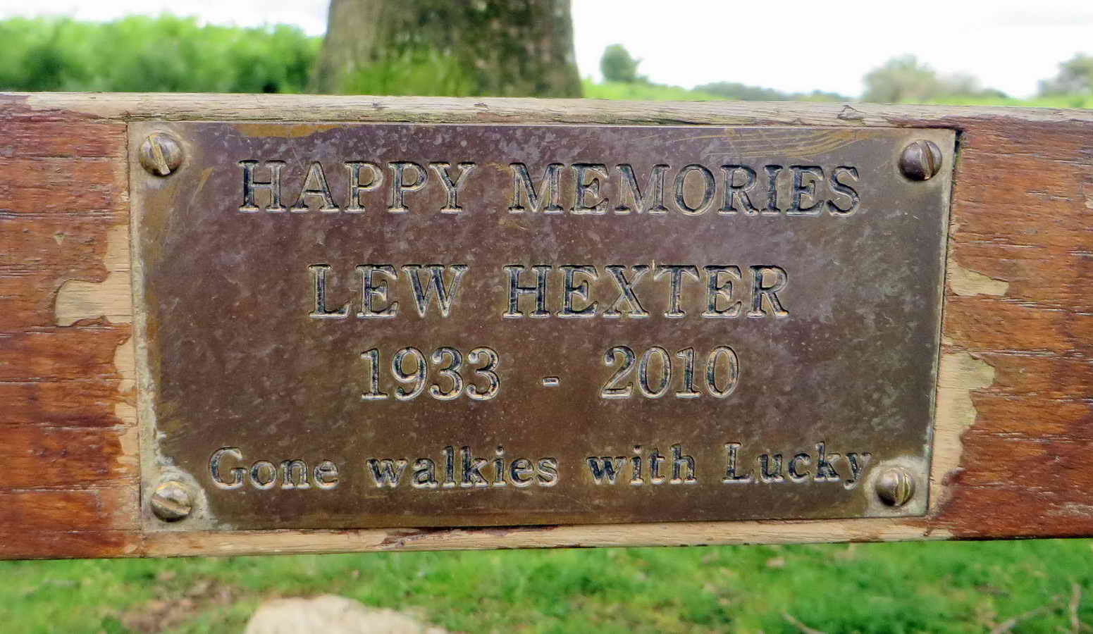
Memorial plaque on the bench.

Photo from another walk (10th Dec. 2014) View of Middle Staple Tor, SX 5403 7564, elevation 431 metres (1414 feet), Great Staple Tor, SX 542 760, elevation 455 metres (1492 feet) and Great Mis Tor, SX 563 769, elevation 538 metres (1765 feet), with Pew Tor in front, SX 532 734, elevation 318 metres (1043 feet).
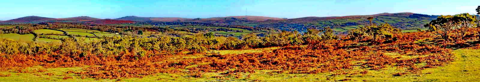
Panorama "borrowed" from 2015-1-21 RAFHarrowbeer - with the tors seen from a somewhat different viewpoint (near "Bench" on the map below). Click on the image to see a larger LABELLED version.


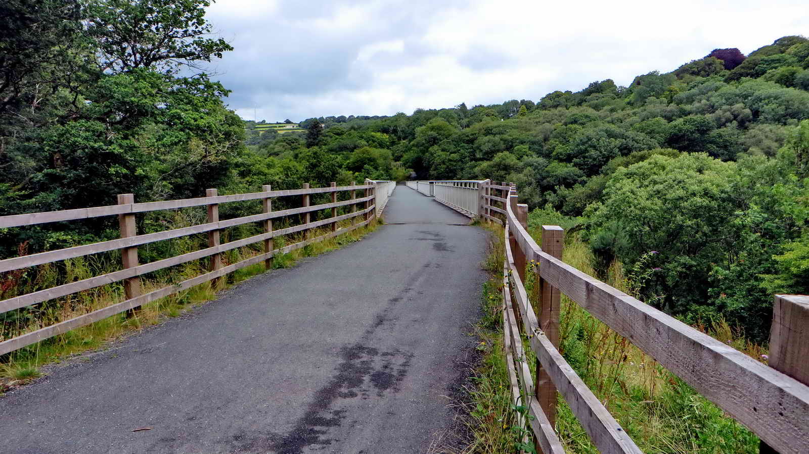
Looking north down on part of the "27" Sustrans cycle track from Screw Bridge - a corruption of "skew" because it is neither straight across the old railway nor is it level? The name corrupted from "Skew Bridge", where a bridge runs obliquely across an obstacle? In this instance, it is an unusually sloped bridge. This the South Devon & Tavistock Railway (1859) with five viaducts and three tunnels: the line closed in 1962.
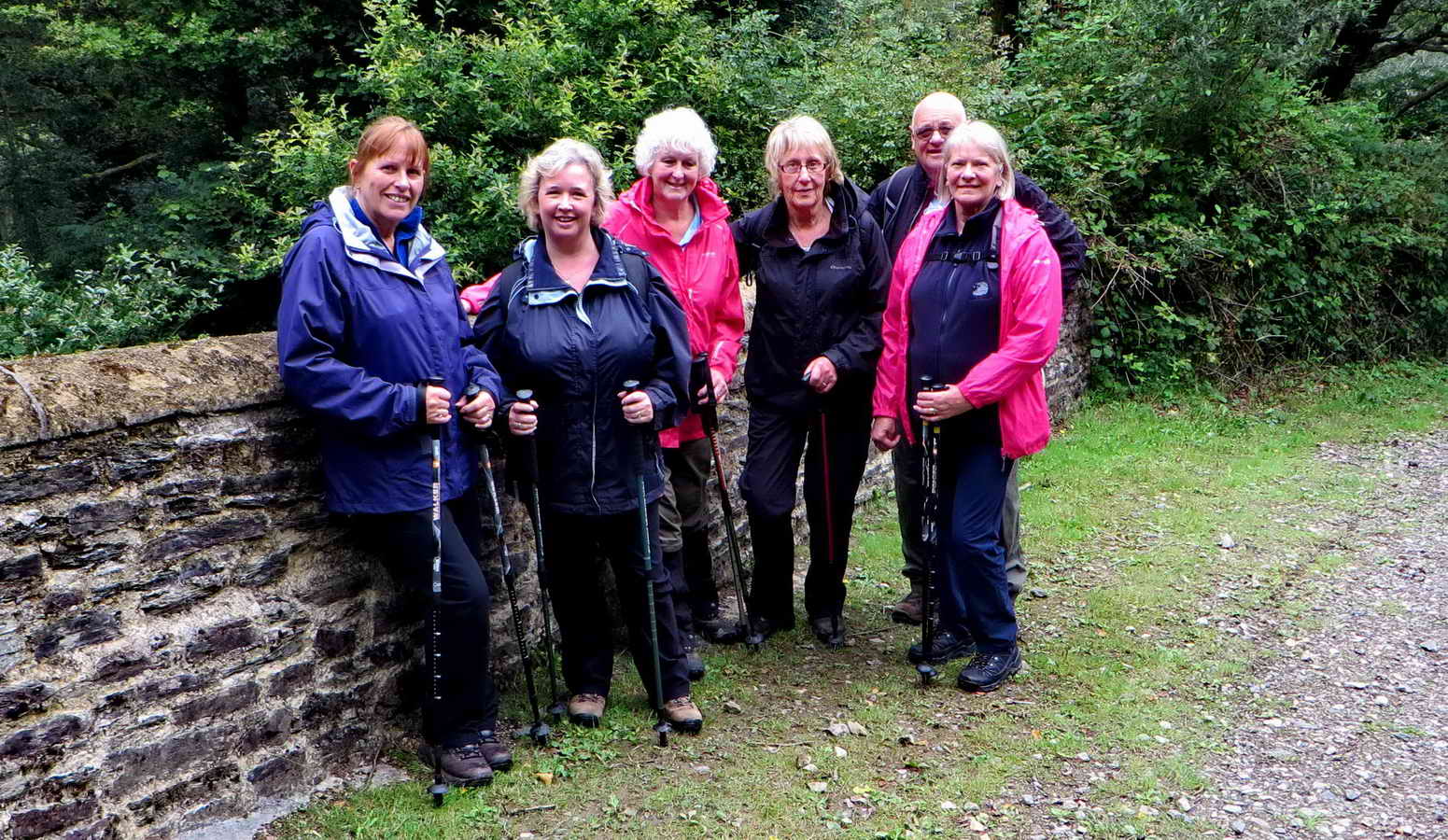
Another group photograph.
Looking onto Gem Bridge at the site of Brunel's old Walkham railway viaduct, now rebuilt for the cycle track .....

Zoomed view .....

Unusual double lock arrangement - with a lifting latch (left) and a bolt (right), on the gate to the path leading down below the viaduct .....

The scene has changed here compared to 26 Jan. 2011, when there was a footbridge across the River Walkham .....for walkers .....

As previous photograph .....

Looking across the river .....
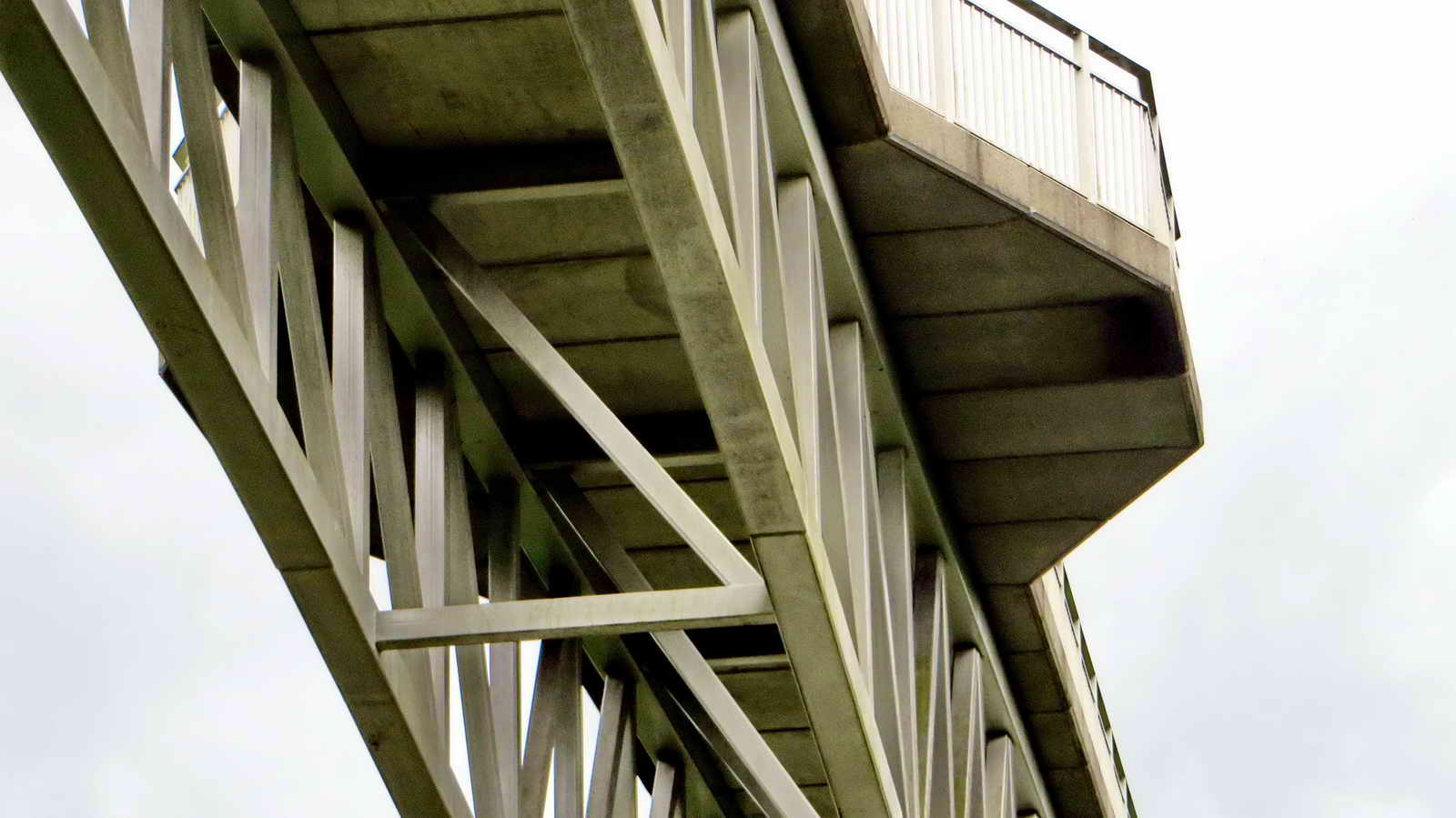
Bridge detail .....

Bridge detail .....
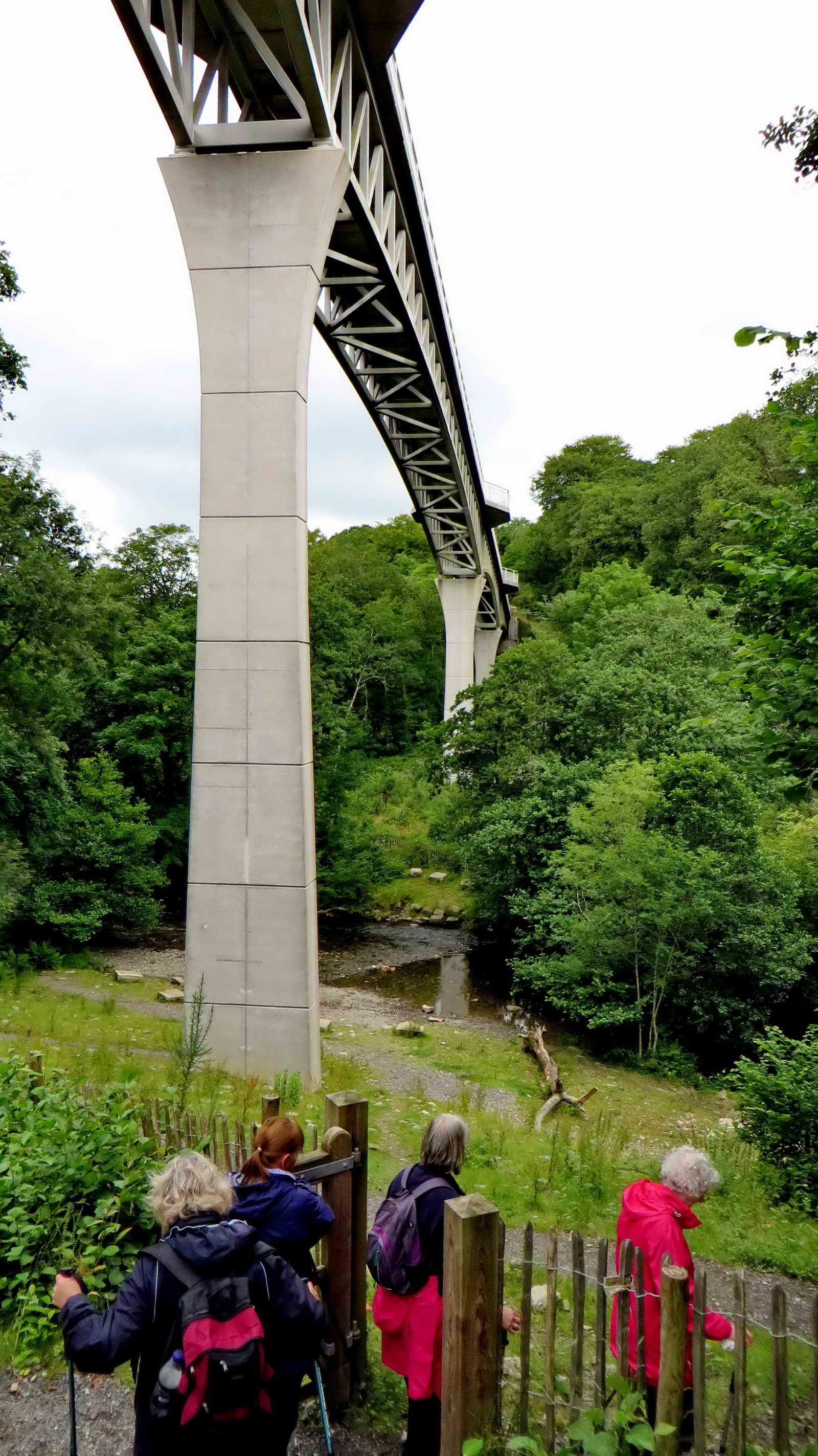
It's a tall bridge ..... Another view showing the new bridge, officially opened on 22nd May 2012, costing �2.1M, i.e. opened in time for Queen Elizabeth II's Diamond Jubilee and to coicide with the Summer of Cycling. The previous bridge (rebuilt 1910 using iron girders) was demolished in the 1960's. The new bridge was partly funded by a �600,00 EU grant with the aim to improve cycling links between UK and France. This cycle track runs from Ilfracombe, on the north Devon coast, to Redon, in south Brittany. Brunel's bridge was 40 metres high and over 300 metres long. The new bridge is 24 metres high and 200 metres long.

Over there there used to be a tin mine - Walkham United Mine.

Tyrning back along the River Walkham.

Flood plain.

Path scene.

Near Bedford Bridge, close to the old clay pit used by the West Devon Brick Works ..... the Wheal Franco copper mine (1823-1875) also operated in this area (see the old map link above) although mostly across the main road. It went down to 160 fathoms (960 feet) and employed 130 men. Between 1846 and 1862, it raised over 10,000 tons of ore, worth �51,500.

Nearing the car park.

Buddleia again.

Within sight of the Bedford or Magpie Bridge is this feature ..... perhaps it was a crane base for the clay / brick / mining works that were once here although it is concrete and what is the function of the manhole? Probable spoil from the Wheal Franco Mine.

Bedford or Magpie Bridge over the River Walkham, built 1822. There was a tall white building to the right, which was the King's Arms in 1850 but Crossing knew it as The Magpie Inn. Nearby Magpie Mill produced violin strings. This area is also rich in remains from the Wheal Franco copper mine, 1823-1875, which was very productive, employing around 130 men and going down to 160 fathoms (960 feet). There was also a brick works in this area

Zoomed view.
MAP: Red = GPS satellite track of the walk.

Statistics
Distance - 5.62 km / 3.49 miles.
All photographs on this web site are copyright © 2007-2016 Keith Ryan.
All rights reserved - please email for permissions