![]()


This walk: 2015-7-22. Hut circles, sundew, bog asphodel, cross-leaved heath/bog heather, bell heather, common heather/ling, wedge and groove method, feather and tare method, Castle Drogo, Shapley Tor, Hookney Tor, mining reservoir, West Coombe Farm, haymeadows, Leapra Cross, pyramid orchid.
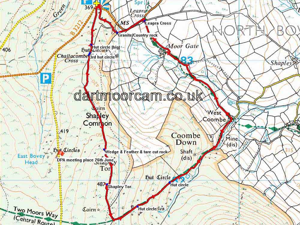
Walk details below - Information about the route etc.Where we walked: Google Satellite view of the area - including the GPS track of the walk (compare with the Ordnance Survey map plus track below)
Previous walk in this area: 23rd September 2009 and 16th January 2013.
 Massive hut circle, at SX 69771
83130.
Massive hut circle, at SX 69771
83130.
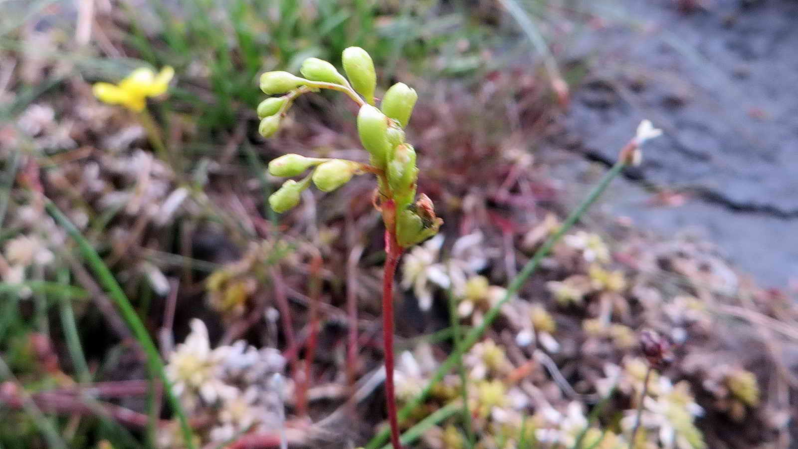 Sundew flower head .....
 Sundew plant,
Drosera.
Sundew plant,
Drosera.
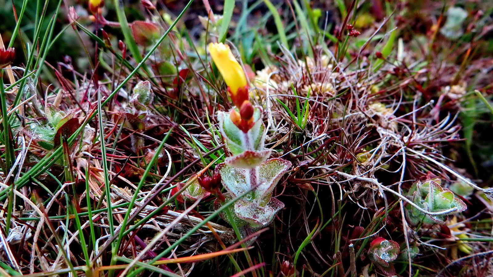 Bog asphodel,
Narthecium
ossifragum.
Bog asphodel,
Narthecium
ossifragum.
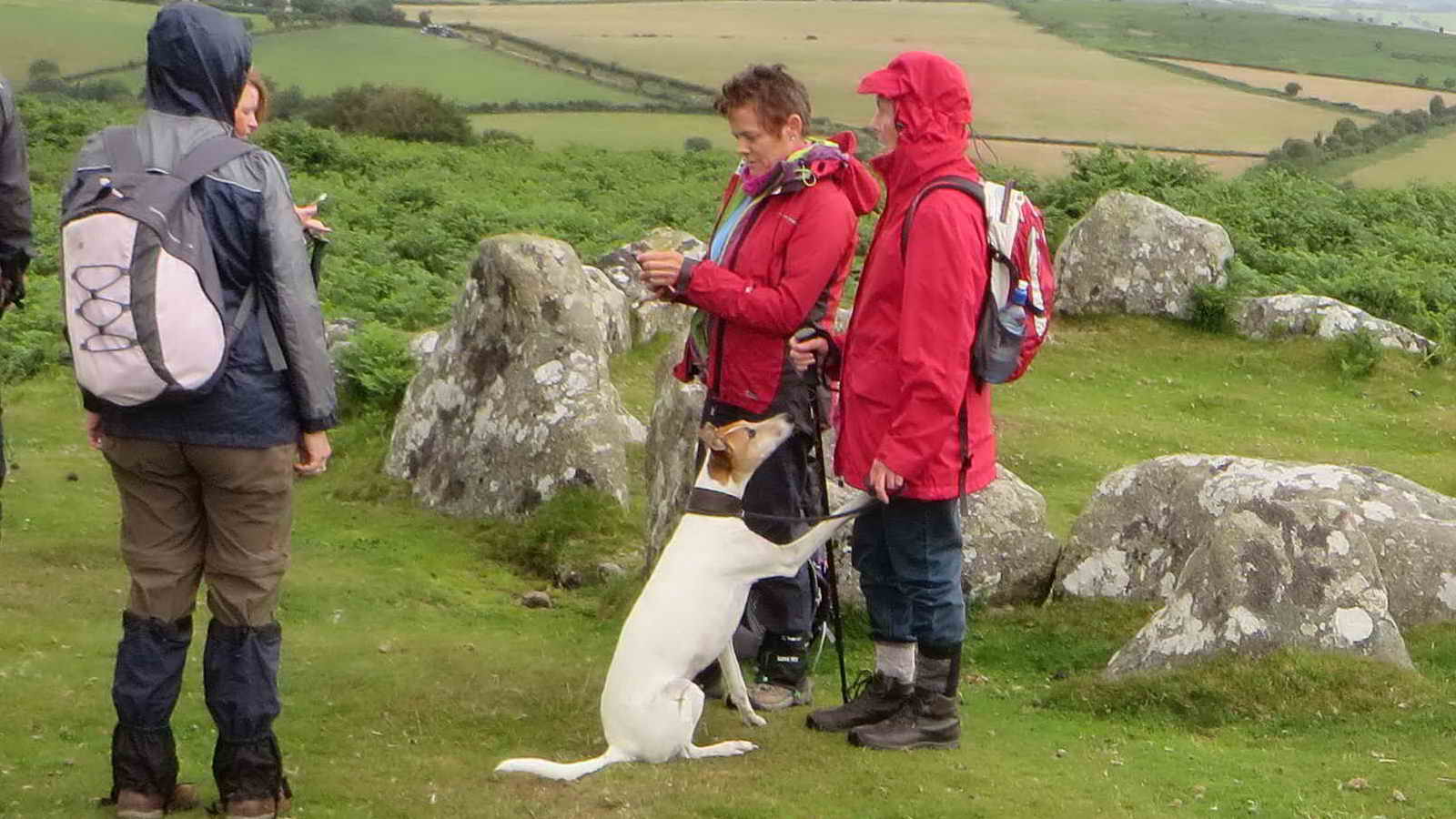 "Treats?"
 Another view of the hut circle .
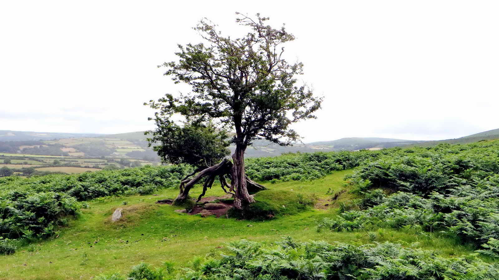 Deformed tree.
 2nd hut circle at SX 69760 83061.
 A 3rd hut circle with the other two
behind.
A lesson in the three heathers, all
flowering together today .....
A 3rd hut circle with the other two
behind.
A lesson in the three heathers, all
flowering together today .....
 Cross-leaved heath also called Bog heather,
Erica tetralix .....
Cross-leaved heath also called Bog heather,
Erica tetralix .....
 Bell heather,
Erica
cinerea .....
Bell heather,
Erica
cinerea .....
 Common heather or Ling,
Calluna
vulgaris.
More information on
Dartmoor CAM's
Heather & Ling page.
Common heather or Ling,
Calluna
vulgaris.
More information on
Dartmoor CAM's
Heather & Ling page.
 Clump of Bell heather .
 Granite, SX 69880 82258, split by
both the wedge and groove method (soaking dry wooden wedges in grooves
overnight) and the feather and tare method (drill holes and insert feathers and
split apart by hammering a central tare) ......
Granite, SX 69880 82258, split by
both the wedge and groove method (soaking dry wooden wedges in grooves
overnight) and the feather and tare method (drill holes and insert feathers and
split apart by hammering a central tare) ......
 The left (far) end has been split by
feather and tare, the nearer end (right half of the photo) has been split by the
wedge and groove method. Feather and tare came into use about 1800.
Moere information on Dartmoor
CAM's Splitting Granite page.
The left (far) end has been split by
feather and tare, the nearer end (right half of the photo) has been split by the
wedge and groove method. Feather and tare came into use about 1800.
Moere information on Dartmoor
CAM's Splitting Granite page.
 Zoomed view to Castle Drogo - still
under wraps!
Zoomed view to Castle Drogo - still
under wraps!
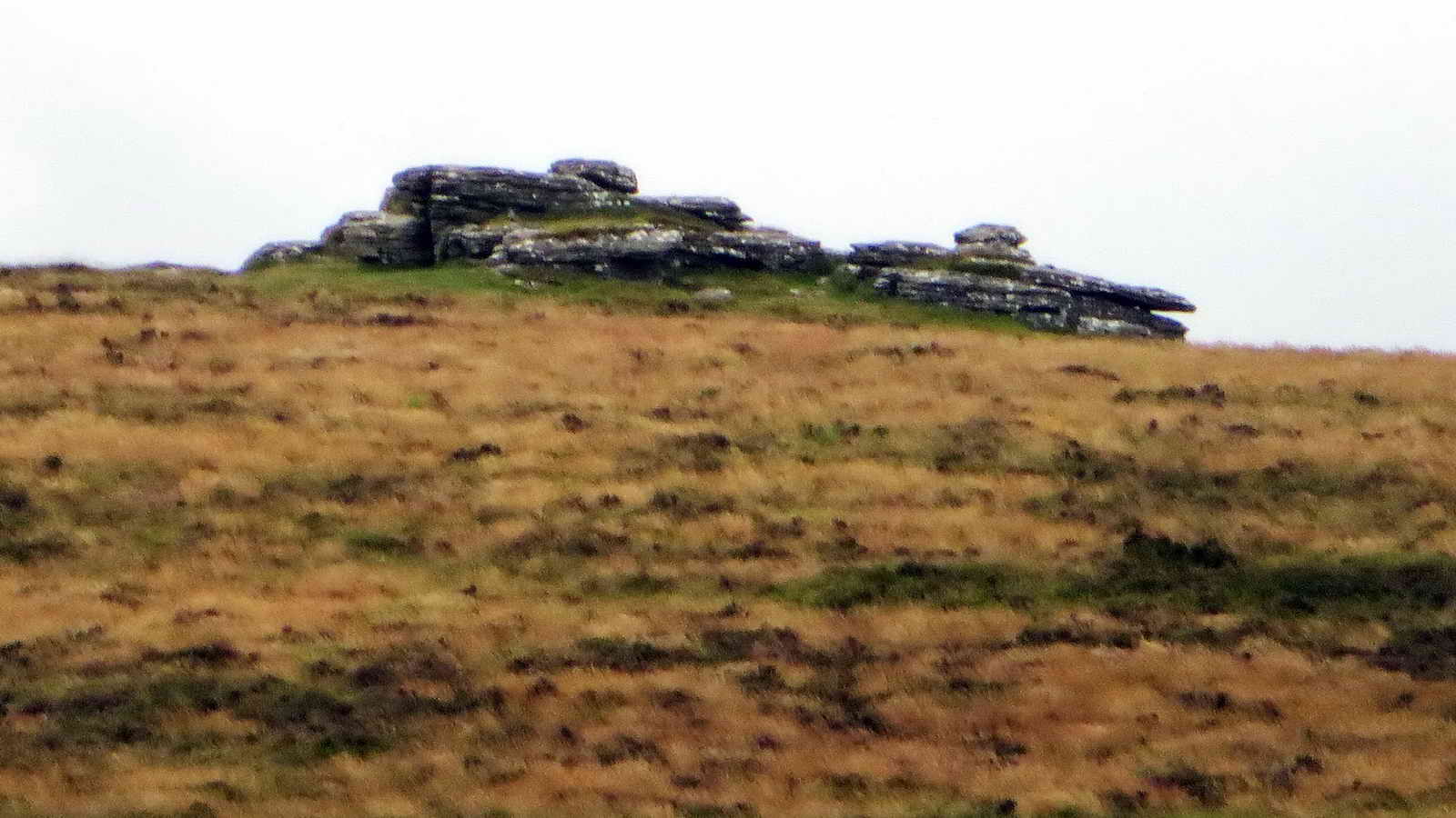
 Shapley Tor, SX 699 821, elevation 480 metres (1574 feet) - from a kneeling
position, its that impressive - see the grass heads at the right!.
Shapley Tor, SX 699 821, elevation 480 metres (1574 feet) - from a kneeling
position, its that impressive - see the grass heads at the right!.
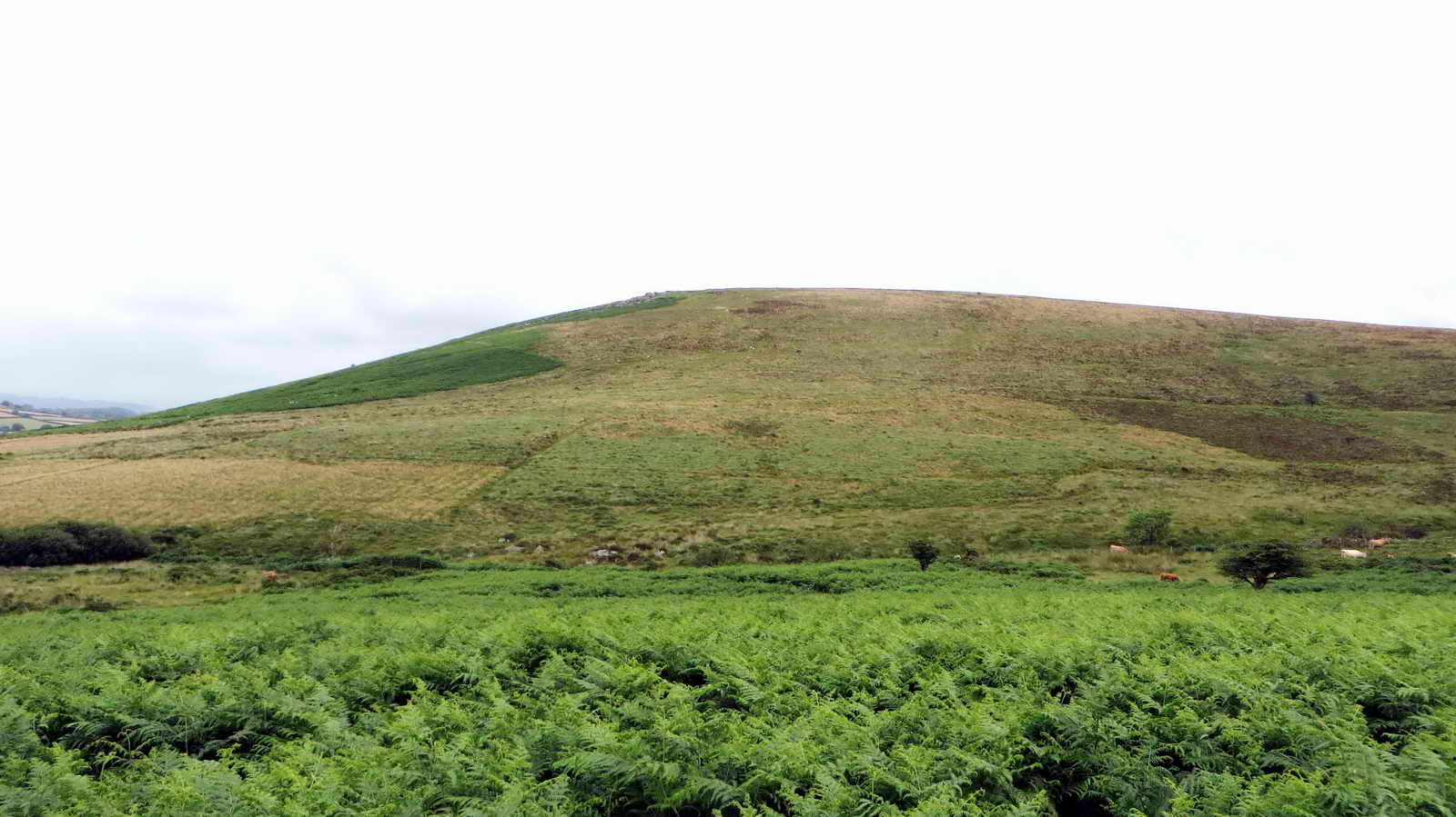
 Hookney Tor (right), SX 698 812, elevation 497
metres (1630 feet). with a large cairn to the left.
Hookney Tor (right), SX 698 812, elevation 497
metres (1630 feet). with a large cairn to the left.
 Zoomed view, strange effect, possibly
due to the rain.
Zoomed view, strange effect, possibly
due to the rain.
 Dry stone wall.
 In view of the bracken, it was best
to do what the notice says!
In view of the bracken, it was best
to do what the notice says!
 King Tor beyond, at SX 708 813.
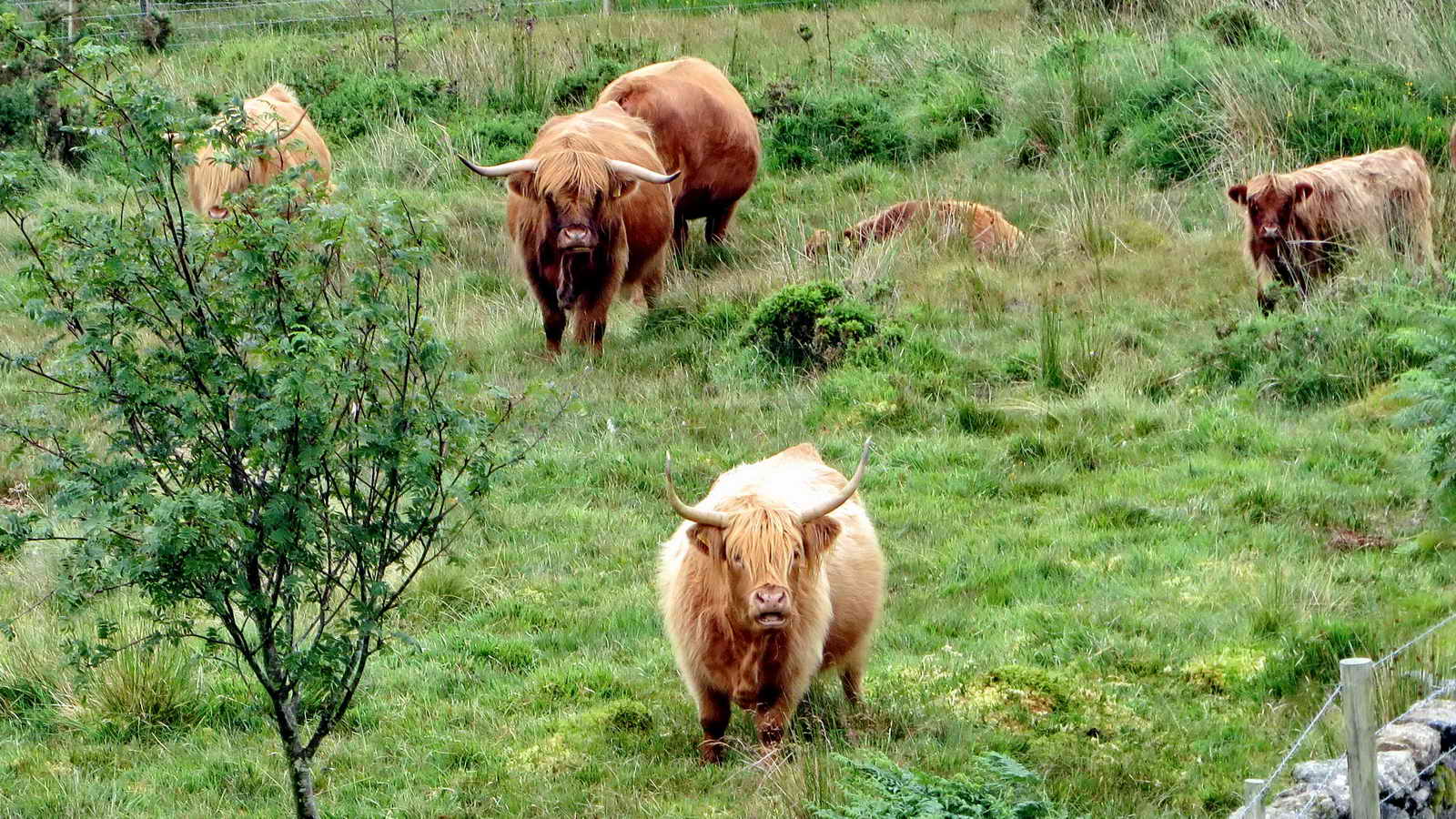
 Pond - a former mining reservoir which provided water to power waterwheels and process
tin ore for the East Vitifer mine; with Highland cattle .....
Pond - a former mining reservoir which provided water to power waterwheels and process
tin ore for the East Vitifer mine; with Highland cattle .....
 Zoomed view .....
 "We're watching you!"
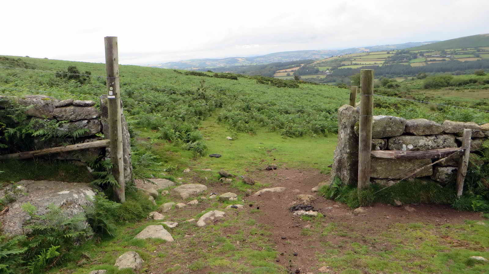 Just a gateway.
 A sign along the way.
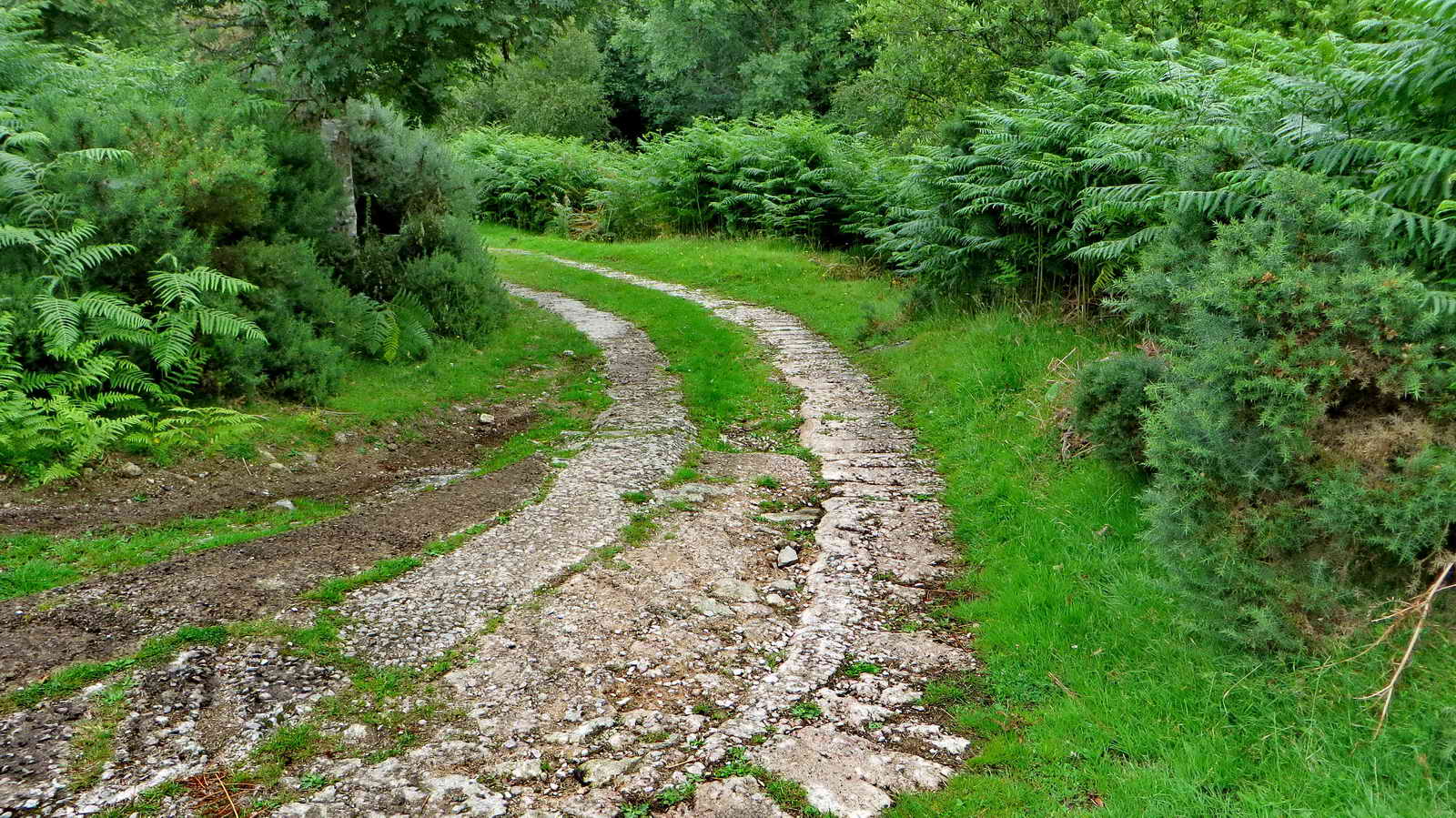 Bend in the approach to .....
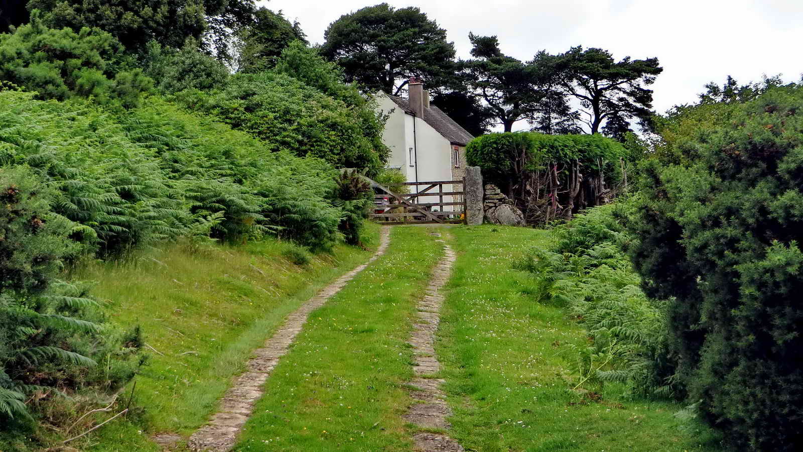 Formerly the house of the mine captain of East Vitifer Mine.
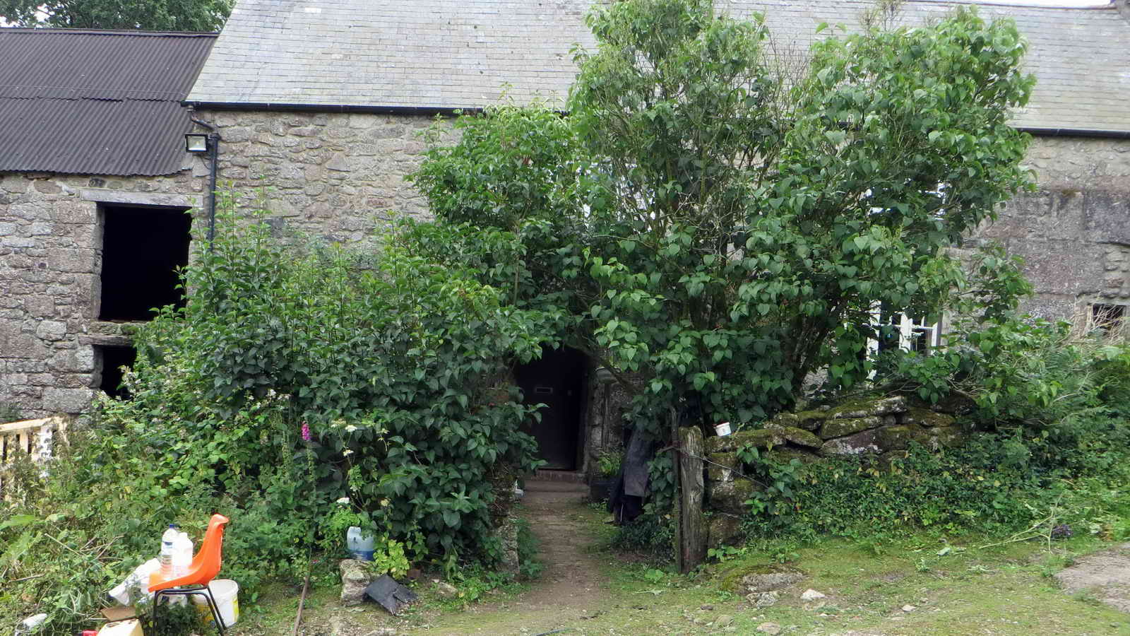
 West Coombe Farm .....
 West Coombe Farm, this barn (left) was added over the pre-existing track and, it
is reputed that, the Mariners Way then ran through the barn. It may have been
that sailors could spend the night here before continuing their journey - a sort
of primitive bed and breakfast, or maybe "barn and breakfast"?
West Coombe Farm, this barn (left) was added over the pre-existing track and, it
is reputed that, the Mariners Way then ran through the barn. It may have been
that sailors could spend the night here before continuing their journey - a sort
of primitive bed and breakfast, or maybe "barn and breakfast"?
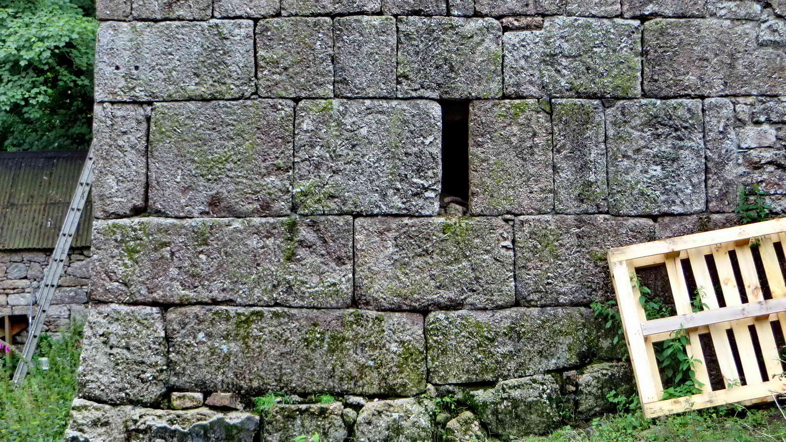 Amazingly dressed granite.
 Along
The Mariner's Way,
part of the Two Moors Way (being Dartmoor and Exmoor).
Along
The Mariner's Way,
part of the Two Moors Way (being Dartmoor and Exmoor).
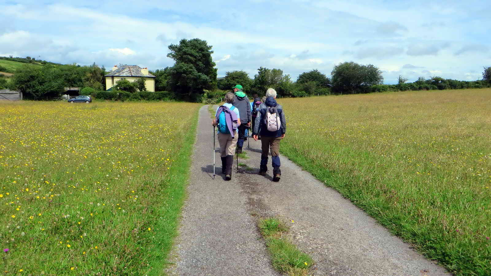
 Today's stalwarts, in a field after
West Coombe Farm.
Today's stalwarts, in a field after
West Coombe Farm.
 Common Cat's Ear .....
 ..... with a fly.
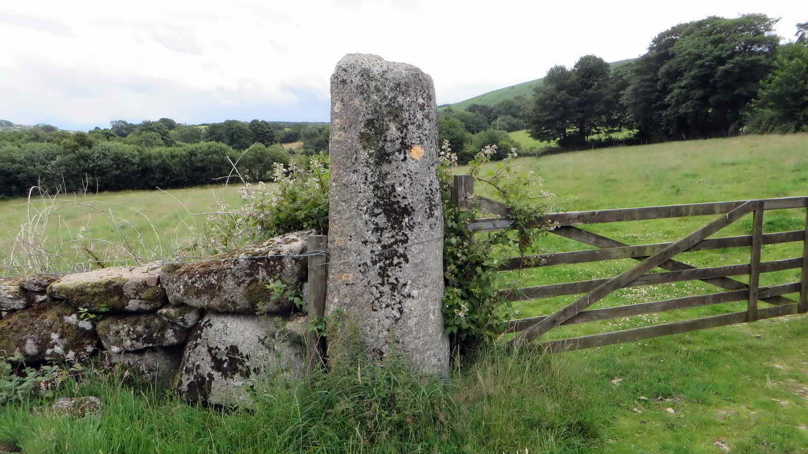 A massive gatepost.
 Haymeadow flowers.
 Slotted gatepost, origin of the 5-bar
gate, this has 5 holes to receive five wooden bars.
Slotted gatepost, origin of the 5-bar
gate, this has 5 holes to receive five wooden bars.
 The path is on the Two Moors Way (Eastern Route),
also known as the Mariners
Way, by which sailors dropped off on one Devon coast would join a ship, or
look for one, on the other Devon coast, commonly Bideford - Dartmouth, a
distance of 70 miles. Busy in the 1500s (Tudor times) with wool and tobacco
trading and ship-building in Bideford .
The path is on the Two Moors Way (Eastern Route),
also known as the Mariners
Way, by which sailors dropped off on one Devon coast would join a ship, or
look for one, on the other Devon coast, commonly Bideford - Dartmouth, a
distance of 70 miles. Busy in the 1500s (Tudor times) with wool and tobacco
trading and ship-building in Bideford .
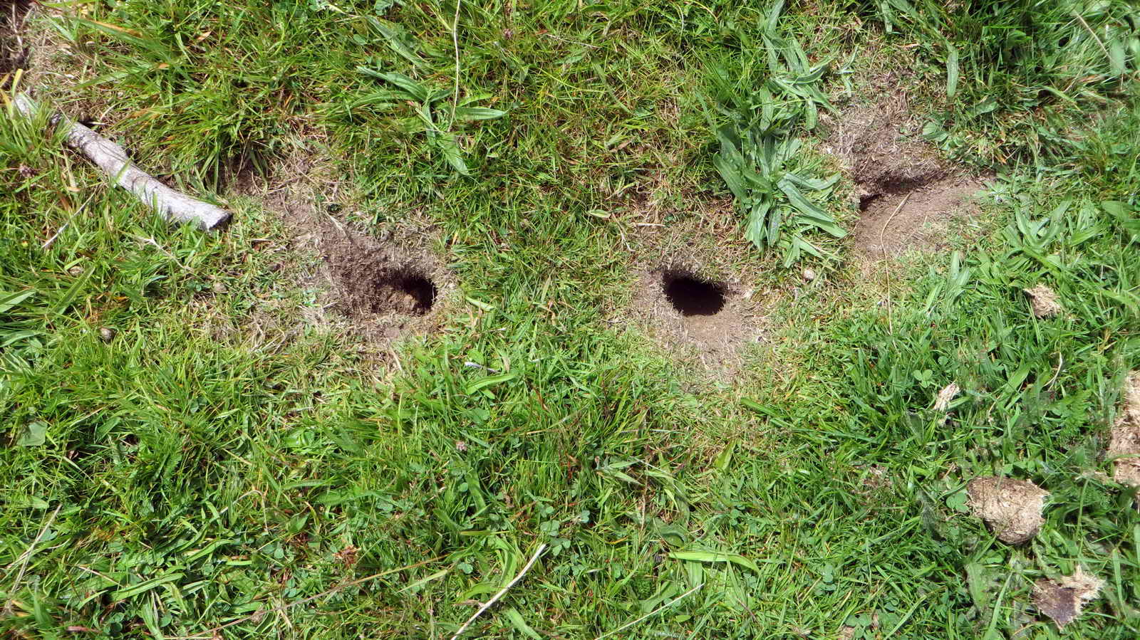 Holes made by geese,. nibbled around
the edge?
Holes made by geese,. nibbled around
the edge?
 Bracken, possibly managed for
Fritillary butterflies.
Bracken, possibly managed for
Fritillary butterflies.
 Approaching Moorgate Cottage,
formerly known as Leapra Farm .....
Approaching Moorgate Cottage,
formerly known as Leapra Farm .....
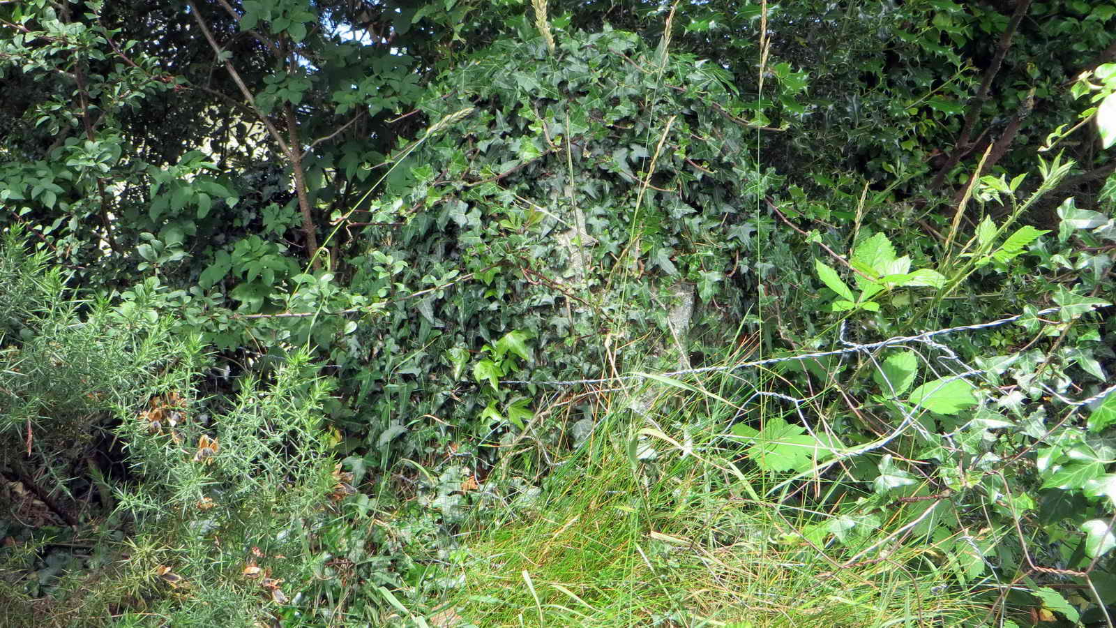 The now-ivy-covered
Leeper or Leapra Cross,
now completely hidden in a hedge by Moor Gate Cottage .....
The now-ivy-covered
Leeper or Leapra Cross,
now completely hidden in a hedge by Moor Gate Cottage .....
 From its proportions, it is estimated that the
cross would have stood over six feet in height: each face has a raised Latin
cross (i.e. in relief), which is unusual on Dartmoor (not easily discernible
in some lights).
From its proportions, it is estimated that the
cross would have stood over six feet in height: each face has a raised Latin
cross (i.e. in relief), which is unusual on Dartmoor (not easily discernible
in some lights).
 Awful image of a lovely Pyramid
orchid,
Anacamptis pyramidalis, beside the main road
Awful image of a lovely Pyramid
orchid,
Anacamptis pyramidalis, beside the main road
 A fairly rare geological exposure showing the meeting of the Carboniferous era
granite that forms the up-welled dome that constitutes the hard upland of
Dartmoor (the horizontal rock at the top of the photograph) and the surrounding
metamorphic aureole or "country rock": in this area this
consists of Upper Carboniferous sandstones and slates and Lower Carboniferous slates, cherts,
limestones, sandstones and volcanics, all altered by the heat of the granite intrusion .....
A fairly rare geological exposure showing the meeting of the Carboniferous era
granite that forms the up-welled dome that constitutes the hard upland of
Dartmoor (the horizontal rock at the top of the photograph) and the surrounding
metamorphic aureole or "country rock": in this area this
consists of Upper Carboniferous sandstones and slates and Lower Carboniferous slates, cherts,
limestones, sandstones and volcanics, all altered by the heat of the granite intrusion .....
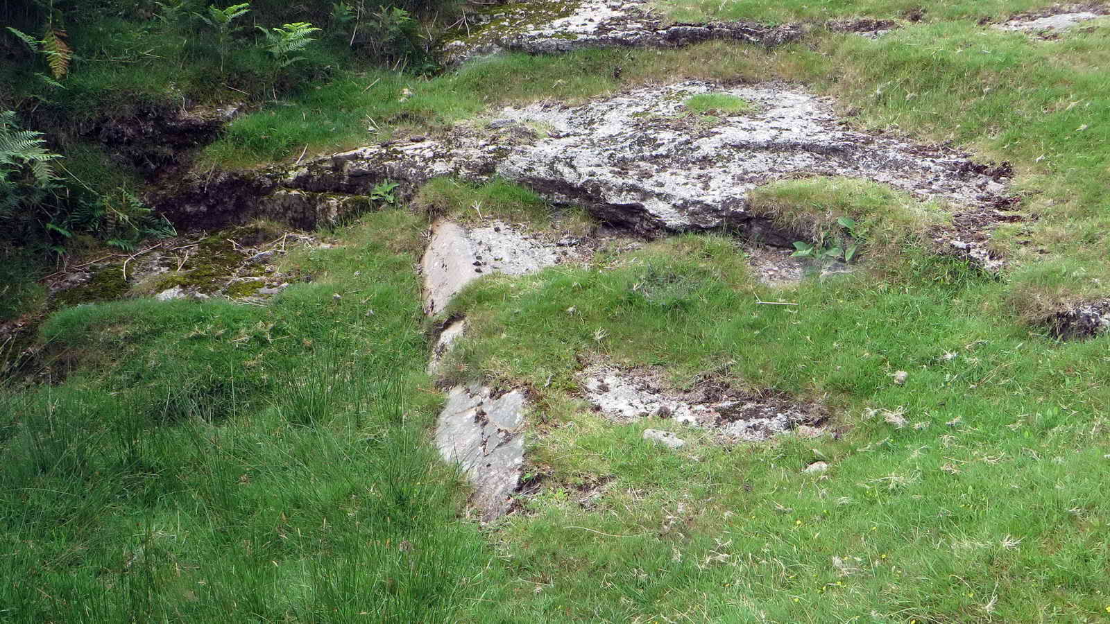 An overview of the site.
MAP: Red = GPS satellite track of the walk.
Statistics
Distance - 5.38 km / 3.34 miles.
All photographs on this web site are copyright © 2007-2016 Keith Ryan.
All rights reserved - please email for permissions