![]()


Old maps .....
Where we walked: Google Satellite view of the area - including the GPS track of the walk (compare with the Ordnance Survey map plus track below)Previous walk in this area: 24th June 2009.
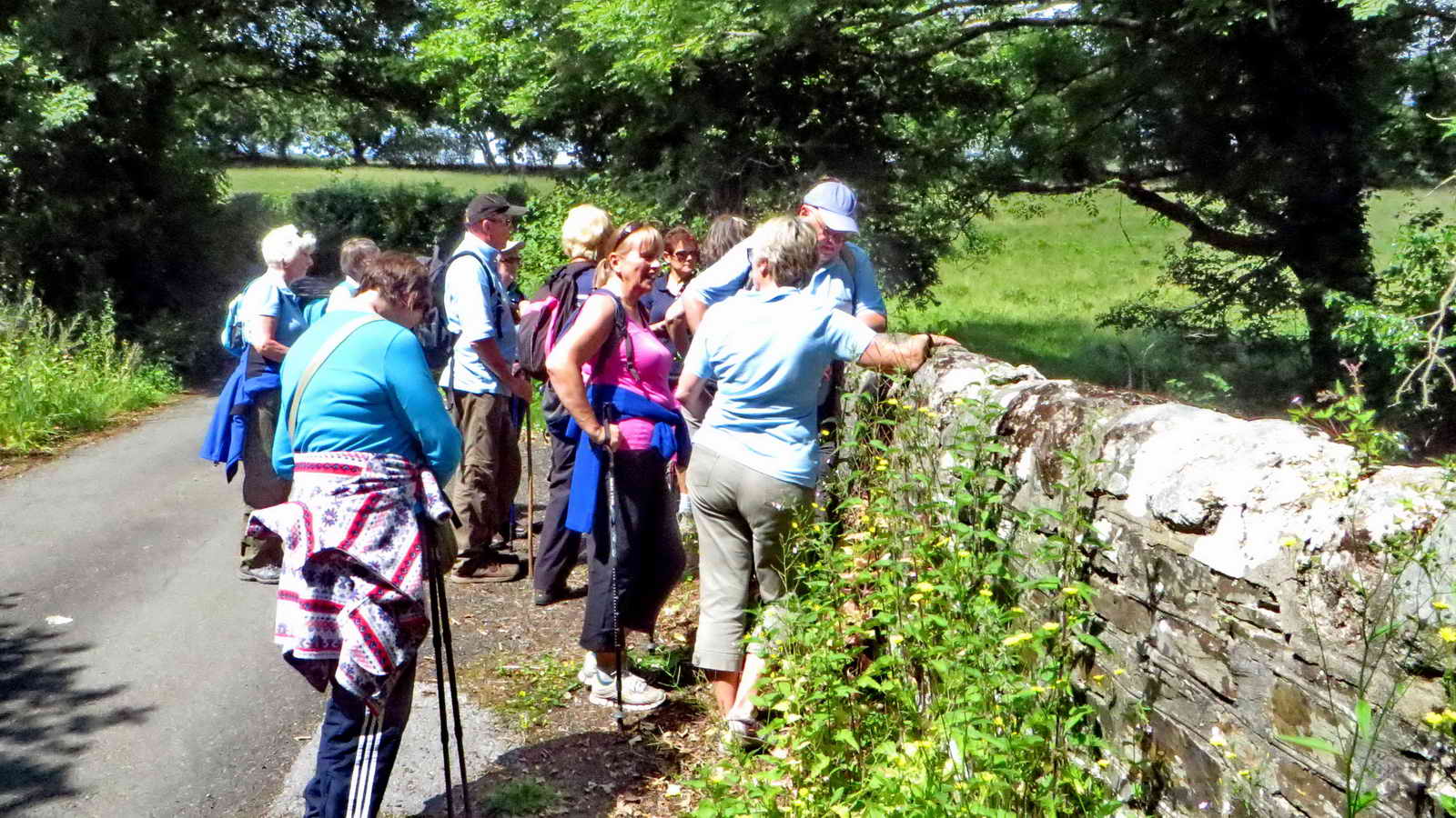
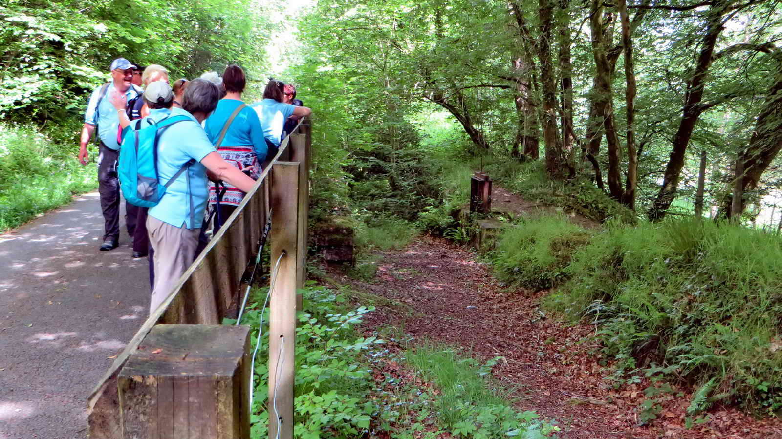
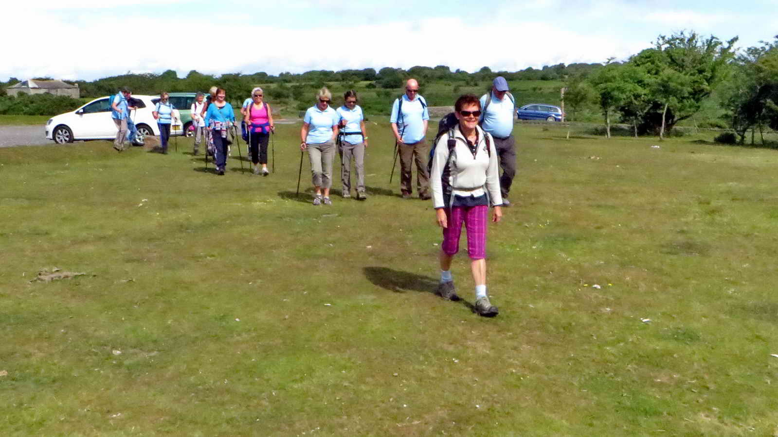 Setting out from Clearbrook car park.
 Heath Spotted Orchid,
Dactylorhiza maculata .......
Heath Spotted Orchid,
Dactylorhiza maculata .......
 Closer view.
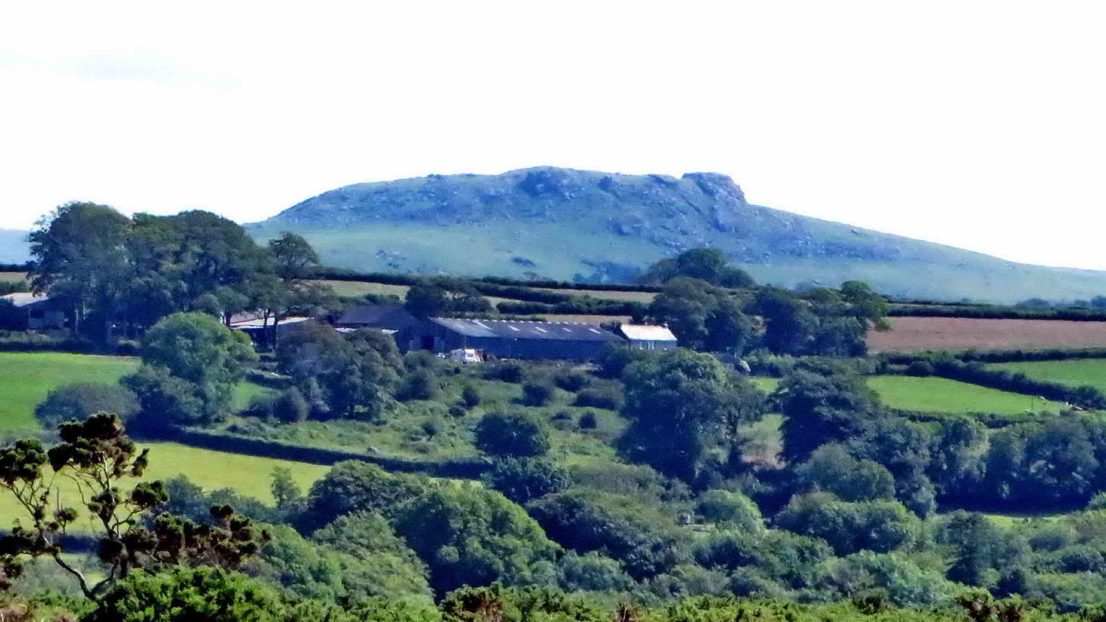 Sheepstor.
 Peek Hill with Sharpitor behind (left
of centre) and Leather Tor (right).
Peek Hill with Sharpitor behind (left
of centre) and Leather Tor (right).
 Clapper bridge at SX 52260 64914 over
Drake's (Plymouth) Leat ..... the earth dam was probably put in place during
WW2 to take rain-water run-off from Harrowbeer aerodrome down to the River Meavy
(see next link below) .....
Clapper bridge at SX 52260 64914 over
Drake's (Plymouth) Leat ..... the earth dam was probably put in place during
WW2 to take rain-water run-off from Harrowbeer aerodrome down to the River Meavy
(see next link below) .....
 Looking from inside the leat breached
from Drake's Leat by
William Crymes around 1599 (this link includes a movie made after heavy rain
showing water being diverted fromn Drake's into Crymes' leat).
Looking from inside the leat breached
from Drake's Leat by
William Crymes around 1599 (this link includes a movie made after heavy rain
showing water being diverted fromn Drake's into Crymes' leat).
 Another view of this area.
Click on the photo to see an entirely different impression
of this small area!
Another view of this area.
Click on the photo to see an entirely different impression
of this small area!
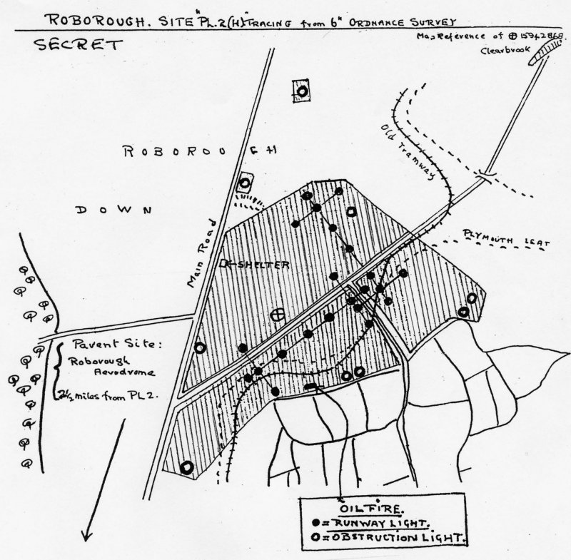
 At SX 52400 64483, in the area that
was the
decoy aerodrome (map, see
airfieldmaps for information, also
RAF Harrowbeer home page and their "Miscellaneous" link)) to draw possible
attacking WW2 bombers from RAF Harrowbeer.
At SX 52400 64483, in the area that
was the
decoy aerodrome (map, see
airfieldmaps for information, also
RAF Harrowbeer home page and their "Miscellaneous" link)) to draw possible
attacking WW2 bombers from RAF Harrowbeer.
 Query 1.
 Tormentil, Potentilla erecta.
 Lousewort,
Pedicularis
sylvatica (out of focus).
Lousewort,
Pedicularis
sylvatica (out of focus).
 Query 2.
 "Sitting in the shade"
- just a line in a song - we haven't had a musical link for a while: note
The Big Man RIP on
saxophone (Clarence Clemons).
"Sitting in the shade"
- just a line in a song - we haven't had a musical link for a while: note
The Big Man RIP on
saxophone (Clarence Clemons).
 Query 3.
 Heath Speedwell,
Veronica
officinalis.
Also known as also known as common speedwell, drug speedwell, common gypsyweed,
fluellin, Veronica and Paul's betony.
Heath Speedwell,
Veronica
officinalis.
Also known as also known as common speedwell, drug speedwell, common gypsyweed,
fluellin, Veronica and Paul's betony.
 Query 4.
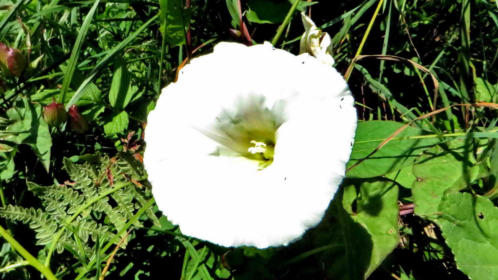 Convolvulus, a Bindweed.
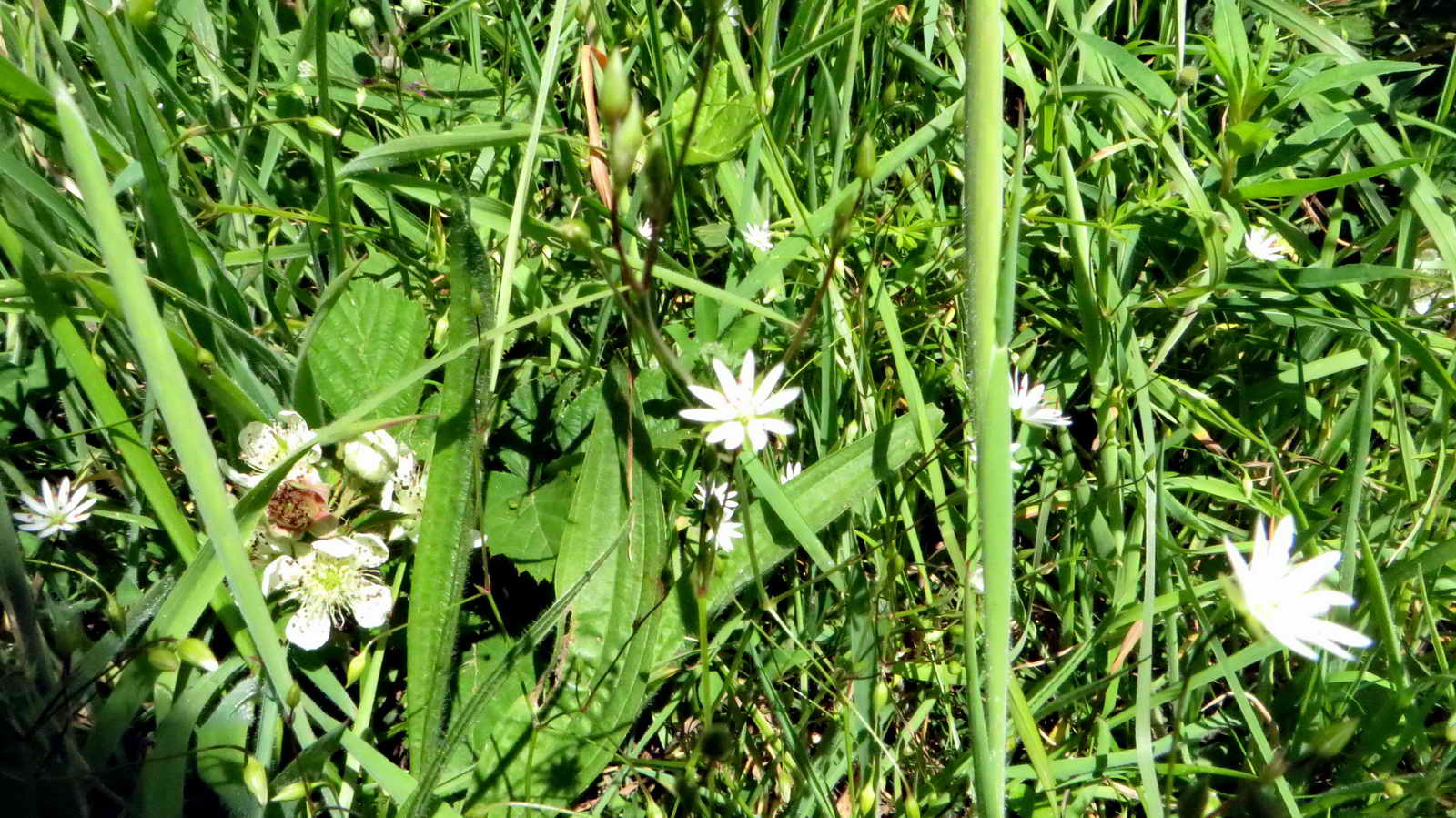
 Query 5.
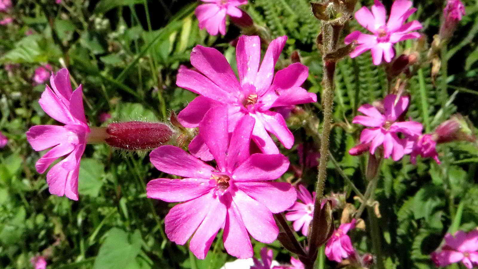 Red Campion.
 Query 6 -
Pignut? Hemlock? Wild parsnip?
Query 6 -
Pignut? Hemlock? Wild parsnip?
 View to Shaugh Prior.
 View from the road bridge at SX 5275
6362 overlooking the
Sustrans No. 27 Devon Coast to Coast / Drake's Way cycle track.
View from the road bridge at SX 5275
6362 overlooking the
Sustrans No. 27 Devon Coast to Coast / Drake's Way cycle track.
 On the road bridge over the old
South
Devon & Tavistock Railway, now the cycle track ......
On the road bridge over the old
South
Devon & Tavistock Railway, now the cycle track ......
 Deatails .....
 A tall plant .....
 Close-up.
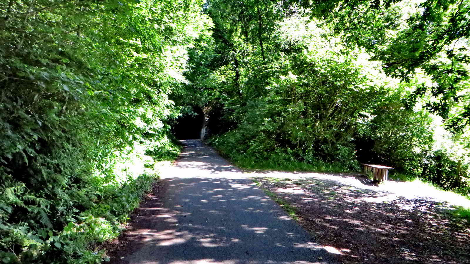 South entrance to Leighbeer Tunnel,
aka Shaugh Tunnel and Smokey's Tunnel .....
South entrance to Leighbeer Tunnel,
aka Shaugh Tunnel and Smokey's Tunnel .....
 Wheal Lopes Leat Aqueduct,
marked "Aqueduct" on the map.
Wheal Lopes Leat Aqueduct,
marked "Aqueduct" on the map.
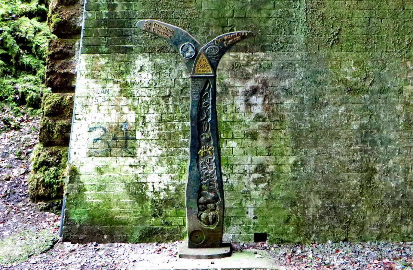
 Waymarker at the north end of the
tunnel .....
Waymarker at the north end of the
tunnel .....
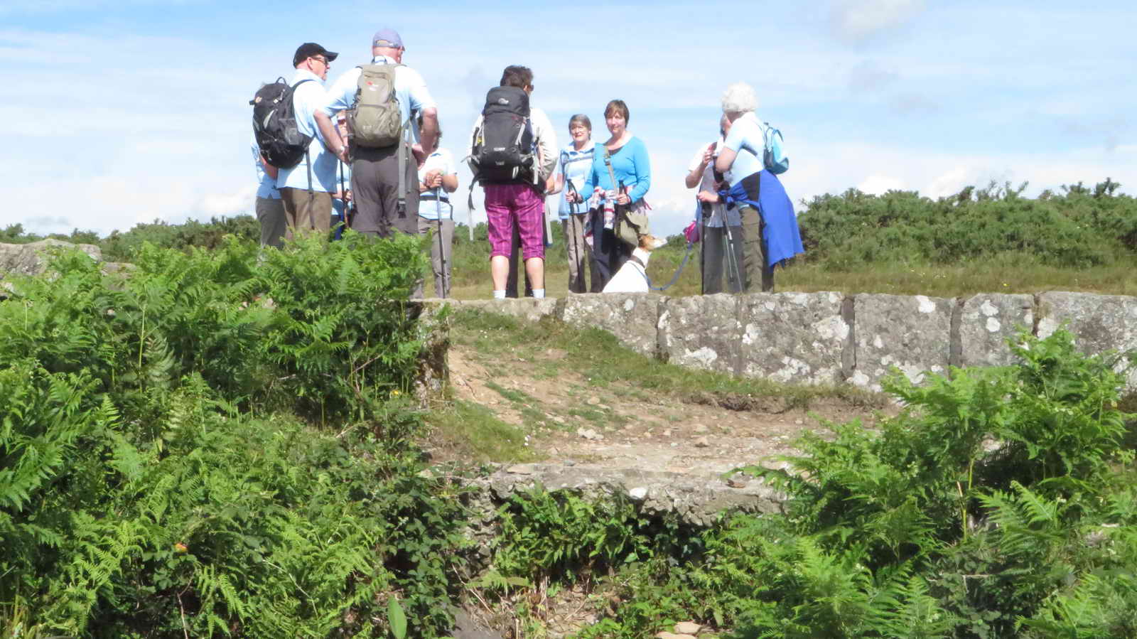
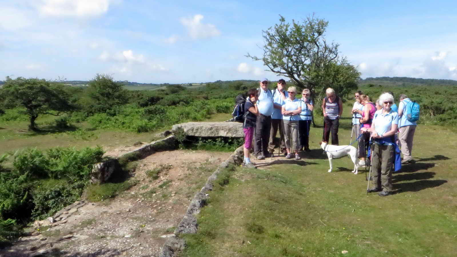
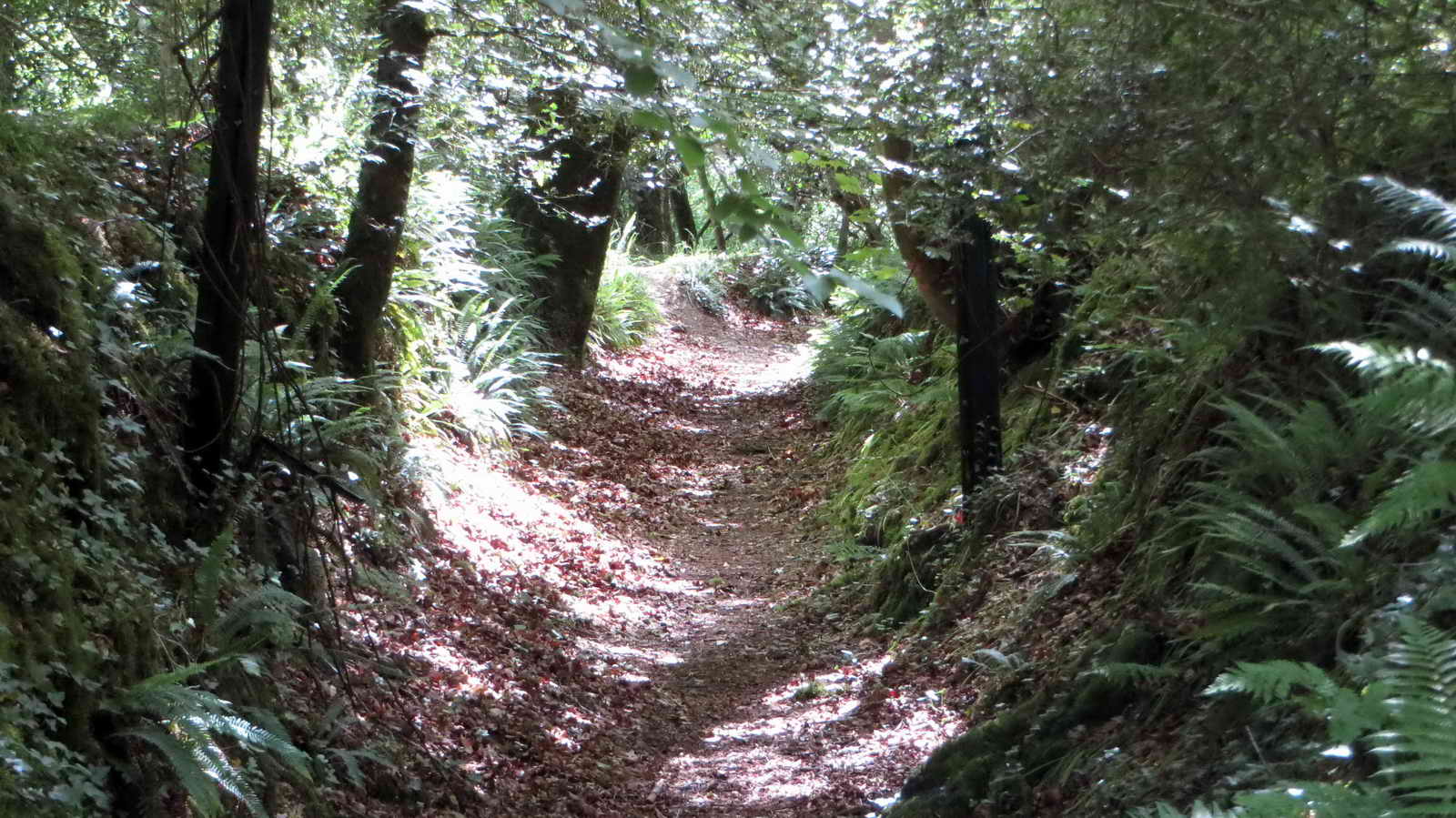
 Overview.
 Looking back.
 Lopes Leat, looking south .....
 Lopes Leat, looking north .....
 Lopes Leat sluice valve.
 Halfway between Tavistock and
Plymouth.
Halfway between Tavistock and
Plymouth.
 New cycle track section near
Clearbrook.
New cycle track section near
Clearbrook.
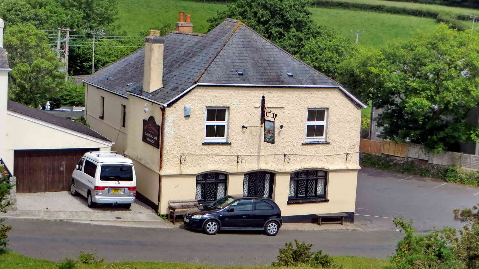 Unusual view of
The Skylark Inn.
Unusual view of
The Skylark Inn.
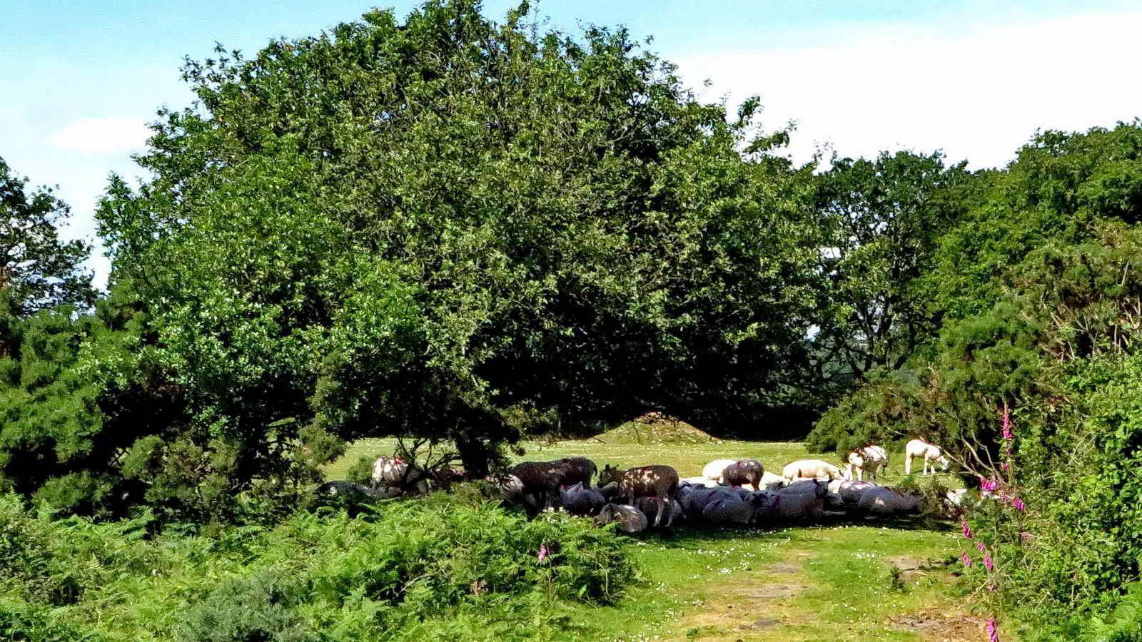
 Ponies at the car park.
MAP: Red = GPS satellite track of the walk.
This walk was reached by driving down the road to Clearbrook from the A386 Plymouth to Yelverton road and parking on the right just before crossing a small bridge over Drake's Plymouth Leat. The car park is marked onthe map with the P symbol and a yellow cross on the map.
Statistics
Distance - 5.48 km / 3.41 miles.
All photographs on this web site are copyright © 2007-2016 Keith Ryan.
All rights reserved - please email for permissions