![]()


This walk: 2014-5-21. Dartmoor Inn, Merrivale Quarry, Middle Staple Tor, Great Mis Tor, Longash Leat, double stone rows, Roos Tor, King's Tor, Longstone, South Hessary Tor, TV transmitter, Yellowmeade Farm, Pila Brook, cotton grass, Little Mis Tor, Vixen Tor, bluebells, skylark, china clay sett boundary stone, cloudscape, cumulus, cirrus, Hucken Tor, Greater Stitchwort, Hucken Tor farm longhouse, staddle stones, Little Wonder Bridge, gate hanger stone, TA stone.
Walk details below - Information about the route etc.
Previous walks in this area: 14 July 2010, 6 April 2011 & 16 May 2012,
Link to Google Satellite view of the area - including the GPS track of the walk (compare with the Ordnance Survey map plus track below)

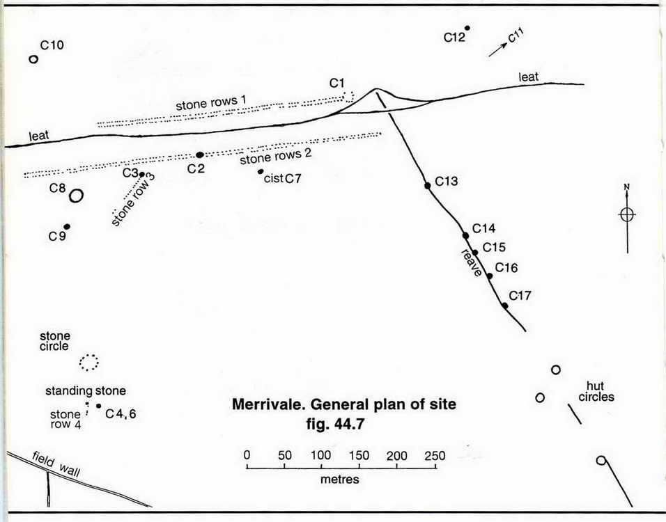
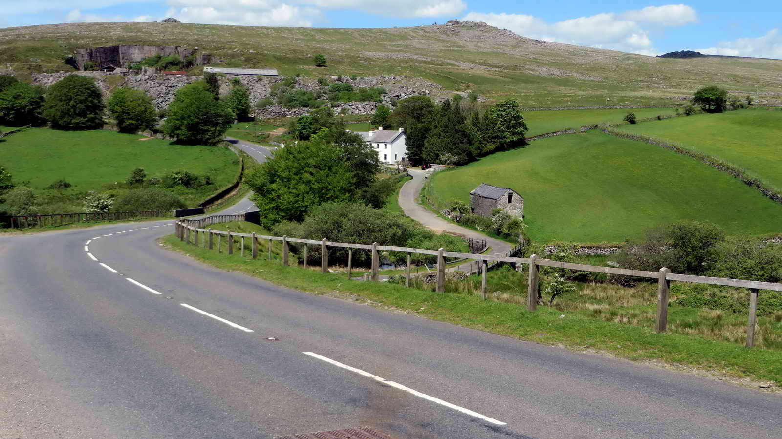
Merrivale, showing the Dartmoor Inn, old quarry, the abandoned embank that was to be a railway to Princetown (to join the GWR) and Middle Staple Tor.
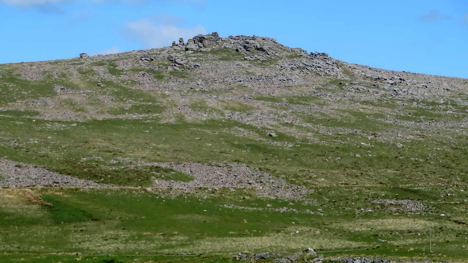
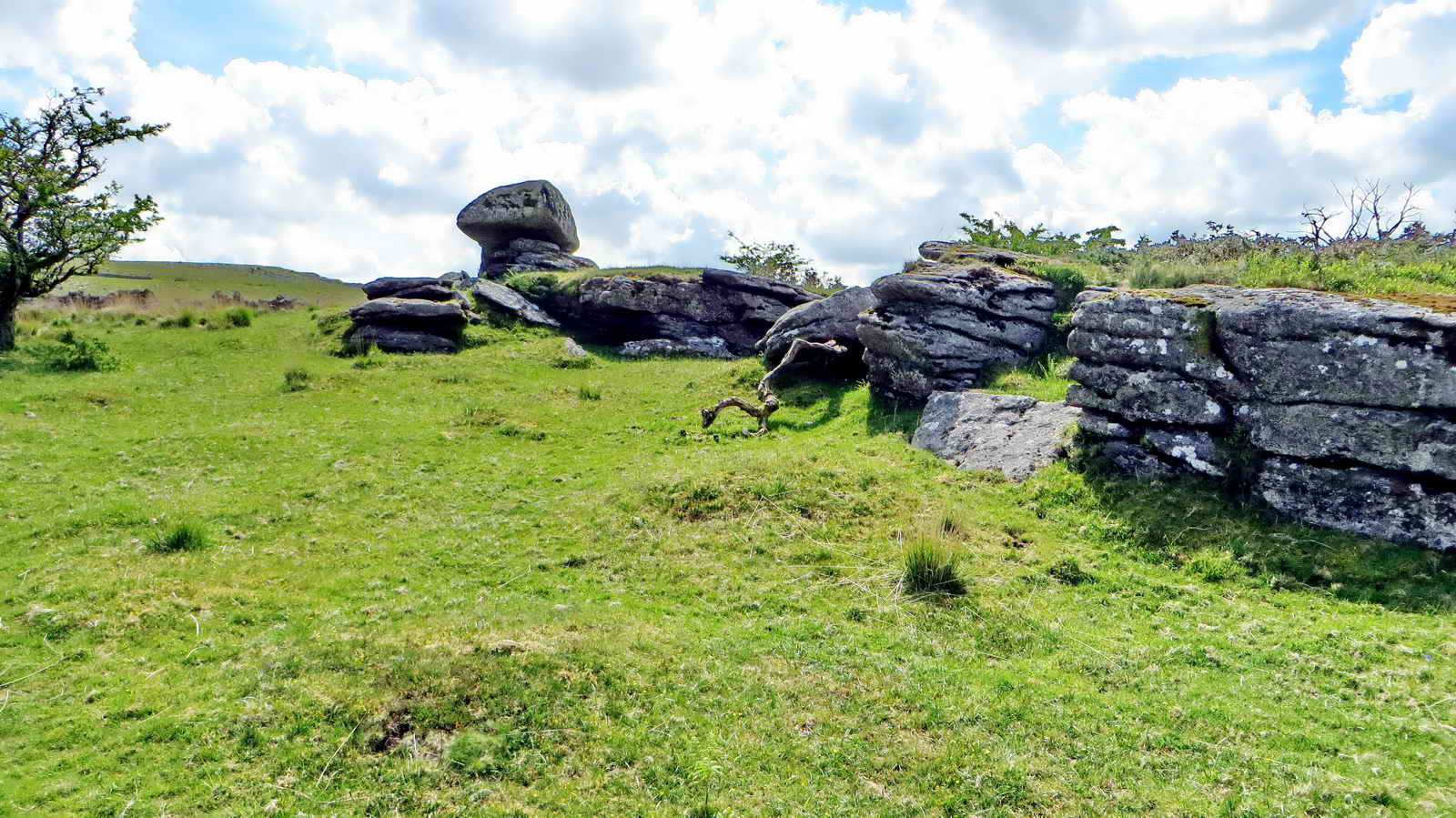
Great Staple Tor, SX 542 760, elevation 455 metres (1492 feet).
Great Mis Tor, SX 563 769, elevation 538 metres (1765 feet) .....

Great Mis Tor .....

Great Mis Tor.

Long Ash Leat, that runs between stone rows at the Merrivale "ceremonial center" .....
|
|

The longer of the Merrivale double stone rows ..... with Fourwinds in the background .....
Another view .....
|
|

Looking at photographs of the midsummer solstice (Latin: sol = sun, sistere = to stand still) setting sun in the "notch" of Middle Staple Tor .....

Closer view.

Great Staple Tor, with Roos Tor behind.

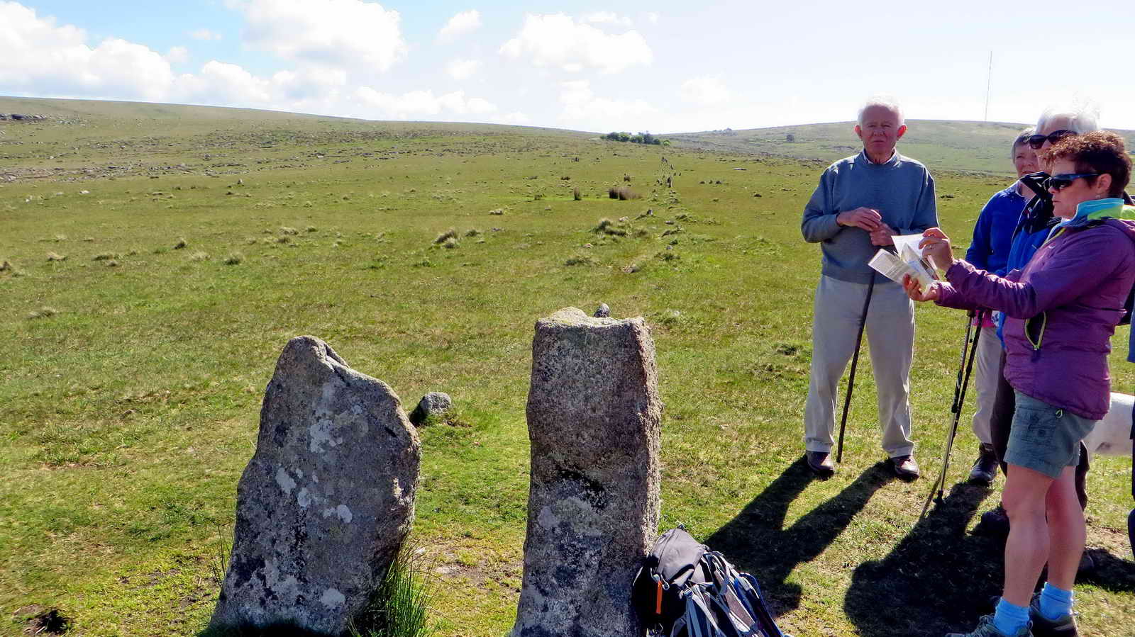
Merrivale stone circle with King's Tor, SX 556 738, elevation 400 metres (1312 feet) behind .....
|
|

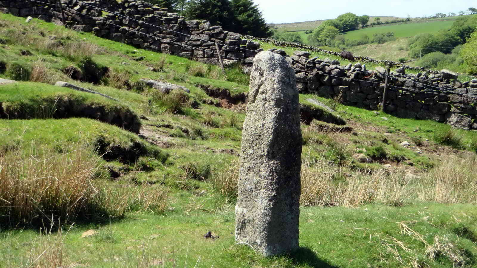
King's Tor, with the Merrivale Longstone, 3.1 metres high (SX 55355 74588).

Showing the scale of the menhir .....

Another view, with Middle Staple Tor (left of the menhir) and Great Staple Tor (centre of the photo) .....

The 'valley' of the Pila Brook, with King's Tor behind.
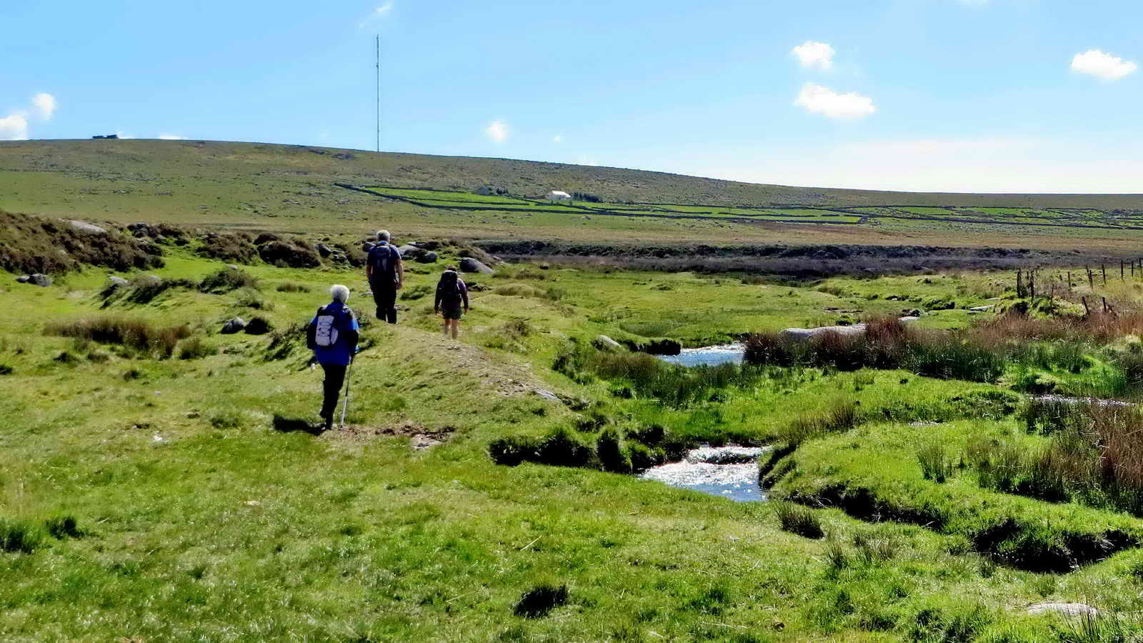
South Hessary Tor on the skyline, TV transmitter, Yellowmeade Farm and Pila Brook.

Common cotton grass, Eriophorum angustifolium, with three flowers/seed heads here. The alternative is Hare's-tail Cotton-grass (Eriophorum vaginatum) with a single seed head.
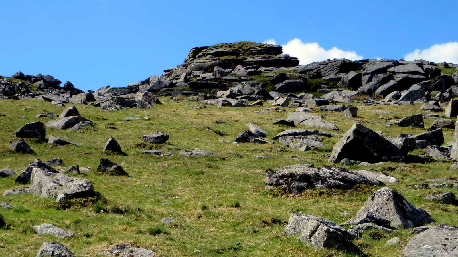
Part of King's Tor .....
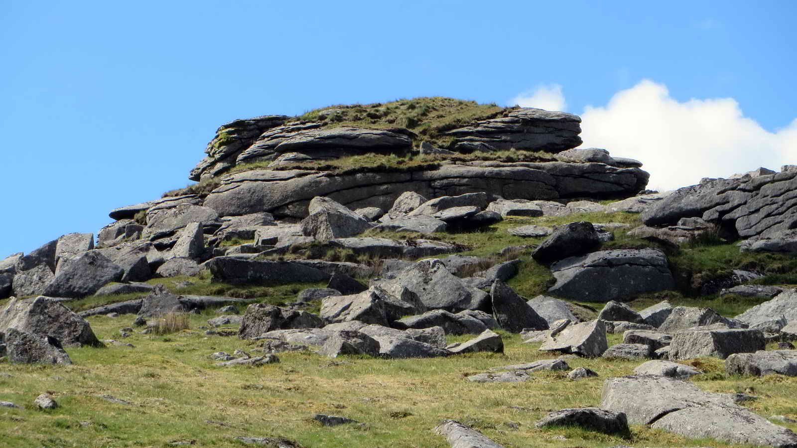
Zoomed view.
Part of King's Tor .....

As previous photograph, with sun on the tor and cloud shadow on the ground.

Zoomed view to Little Mis Tor, with the Range Clearance Officer's vehicle.

Looking westwards, over the River Tamar, to The Promised Land.
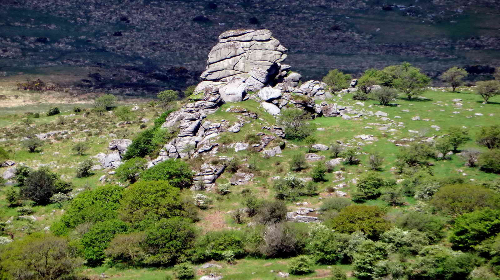
Vixen Tor, SX 542 742, elevation 317 meters (1040 feet).

Zoomed view to bluebells, nestling in the lee of the hedges.


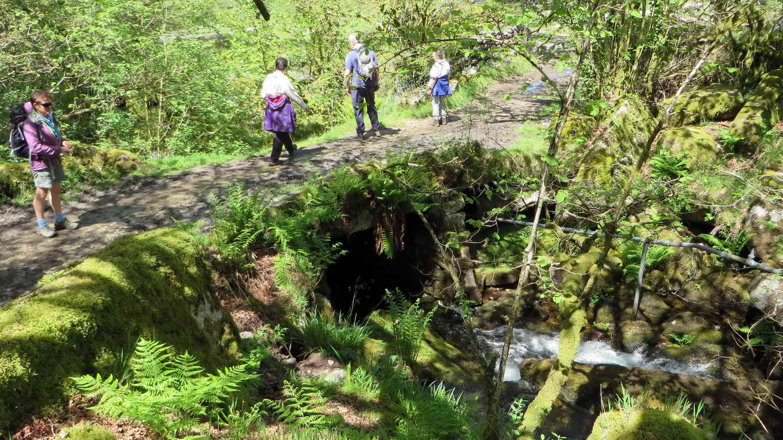
Tunnel under the old railway at SX 55392 73786, partly for livestock to roam.

"CW 2" - one of a series of china clay sett boundary stones for Yes Tor Bottom china clay works. ....... "granted by Sir Ralph Lopes, to George Stone Baron of Plymouth, a lease dated 19th September 1835, permitting the digging of china clay for twenty-one years 'on certain lands in Walkahampton' ...... another bound stone inscribed CW/2 on the western side of Little Kings Tore" ..... One of two survivors of seven stones. Source: Dave Brewer (2002) Dartmoor Boundary Markers, Halsgrove, pp. 239-241 .....
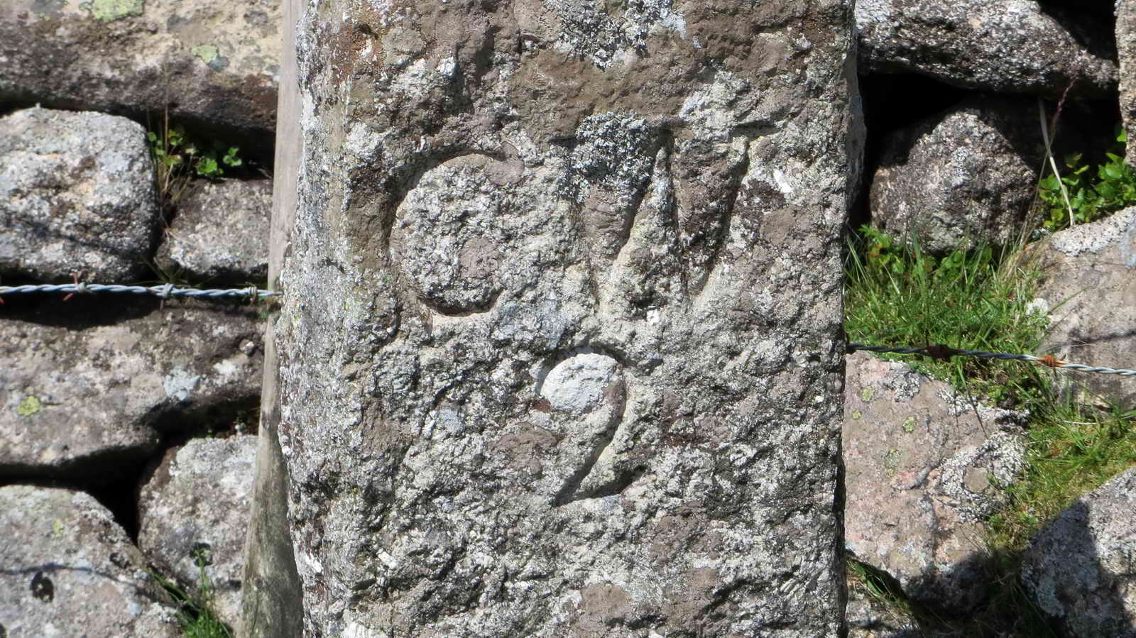
Closer view.
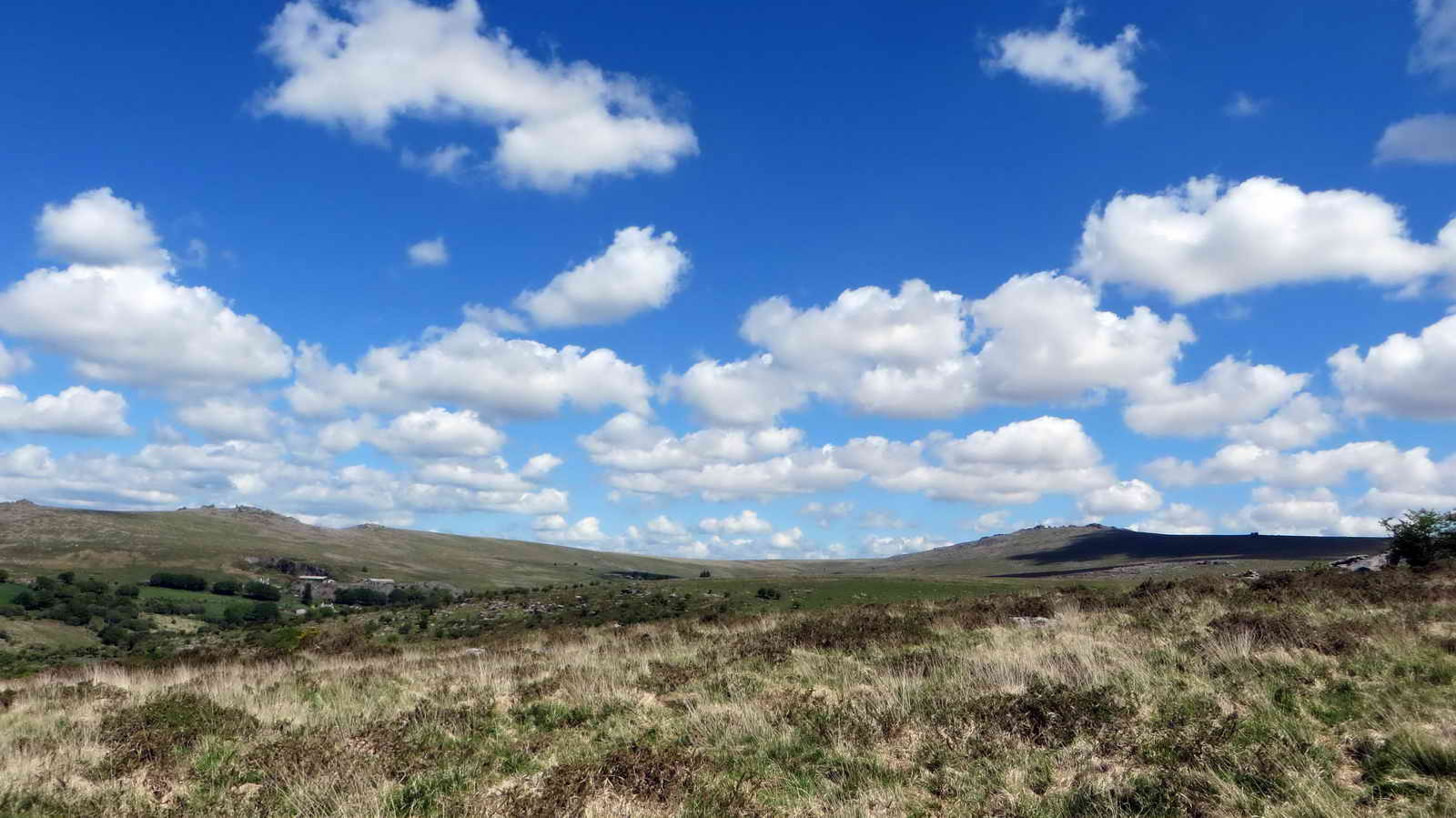
Cloudscape of smallish summer cumulus clouds.
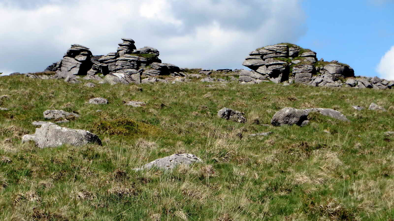
Part of Hucken Tor, this is a largely-spread tor of which most is hidden under trees .....

A closer view .....

Greater Stitchwort, Stellaria holostia.

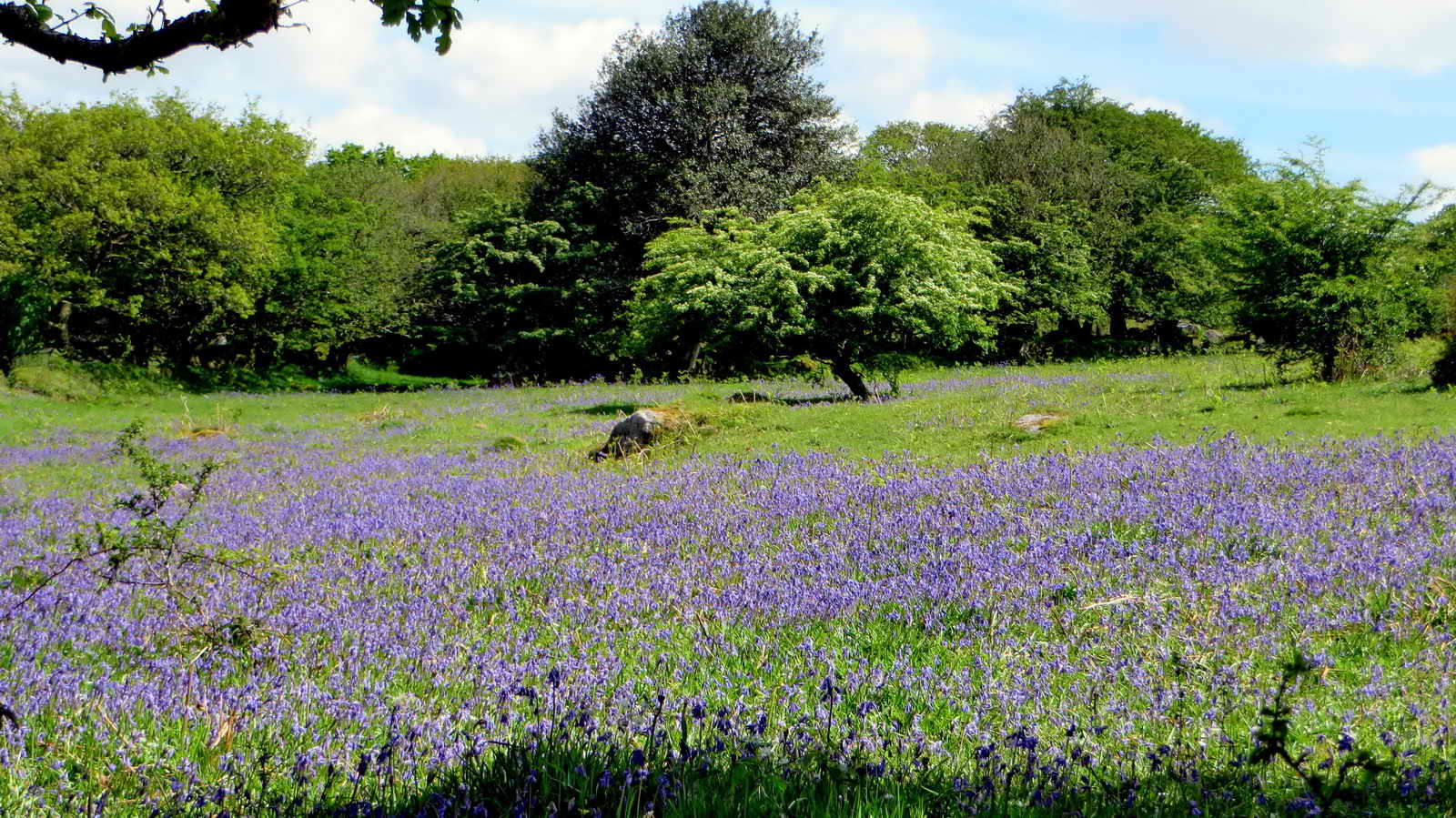
Part of Hucken Tor with bluebells .....

Closer view .....

Bluebells .....
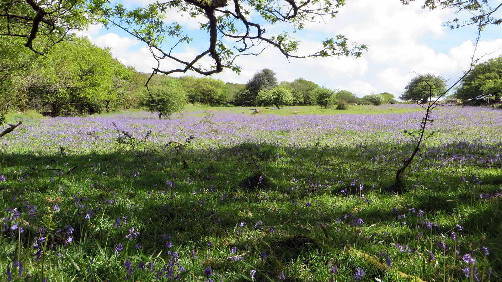
Bluebells .....
Bluebells .....

The ruins of Hucken Tor farm, at SX 54904 74107, showing remains of two small outhouses .....
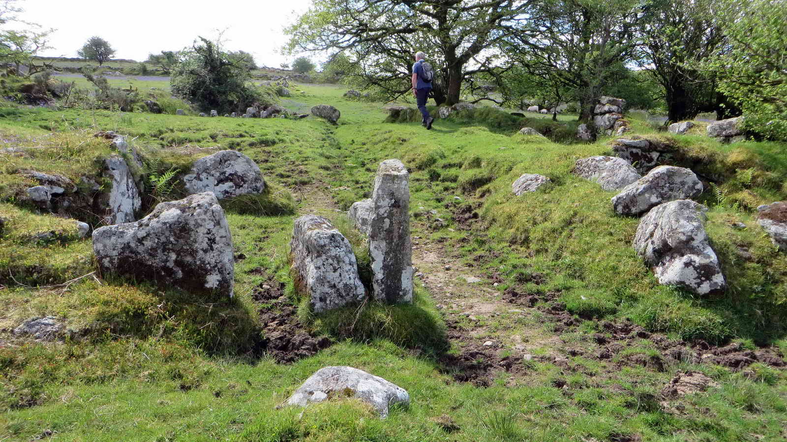
Track leading to an area of staddle stones .....
Looking down into the ruins of the farm longhouse .....

The staddle stones ..... these supported the floor of a store where grain and other food was kept, with the stones preventing rats from gaining access to the contents .....

Another view .....

A high banked vegetable garden, with the longhouse to the right .....

The view to Vixen Tor .....
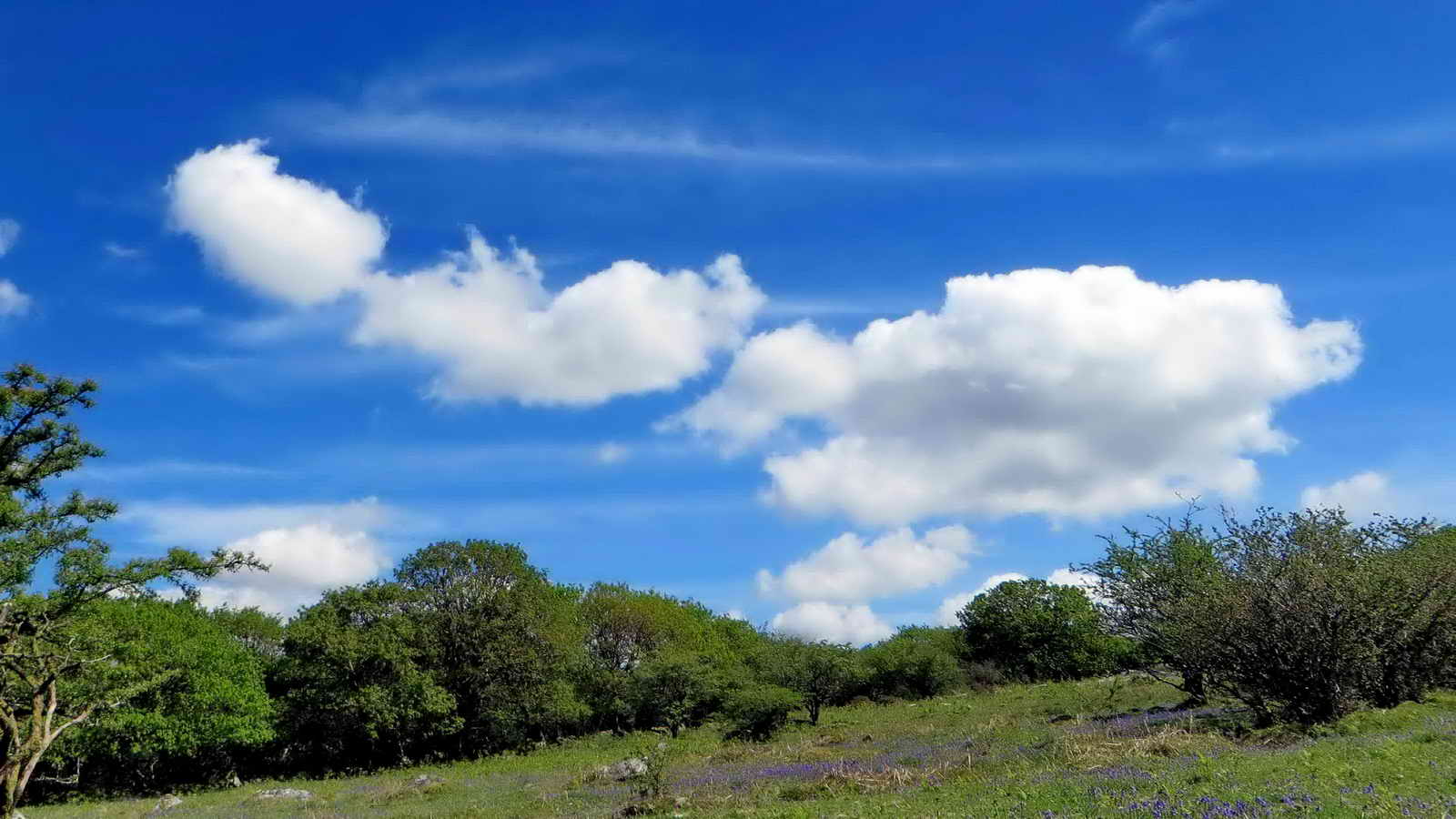
Another cloudscape with summer cumulus clouds (1,000-5,000 ft): the genus is Cumulus, this species probably being humilis (wider than it is tall), with high level (20,000-45,000 ft) cirrus clouds that probably originated from aircraft condensation trails .....

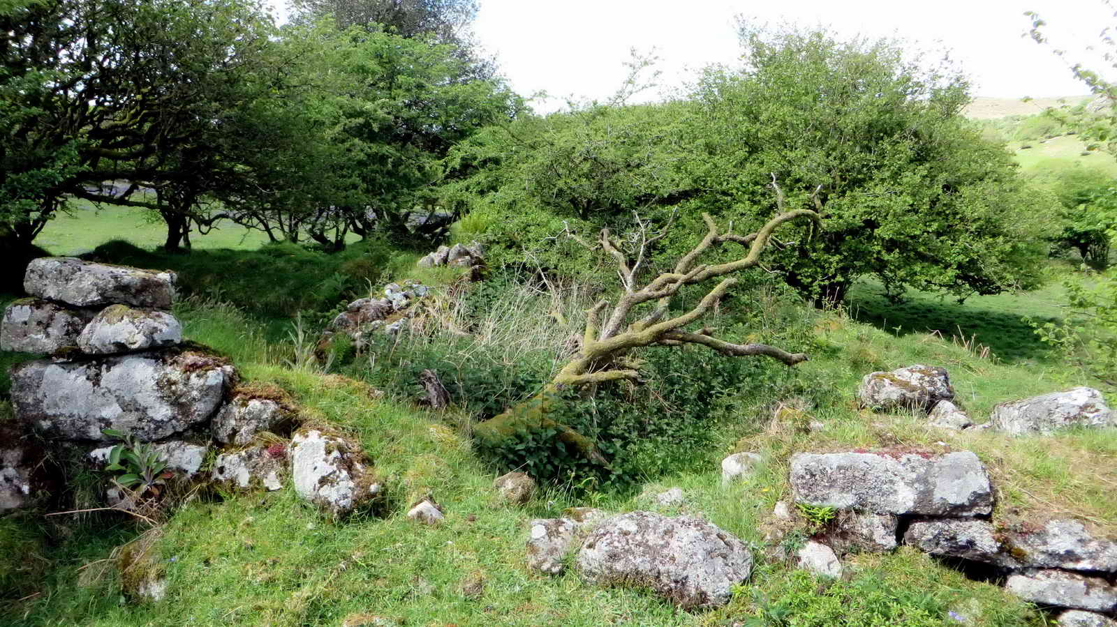
The longhouse has a fallen lintel, although this stone appears tapered and lintels are possibly not so tapered .....

On the opposite side of the outer courtyard are the ruins of what must have been a labourer�s cott, a small two-roomed building of which little survives save for the rear and end walls and a solitary granite doorpost within. A large tree now grows in the living room! Source: Mike Brown's Guide to Dartmoor CD, Mike Brown & Dartmoor Press, 2001.

Leaving the old medieval farm.

Vixen Tor .....

Vixen Tor.

Pila Brook.
Little Wonder Bridge - the wonder being that the water level was said to rise and fall with the tides.

Old gate hanger stone, now built into the hedge, near the bridge.

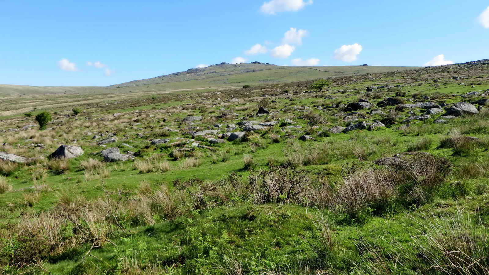
Gateway along the track back to the main road, with Middle and Great Staple Tors on the skyline.

Last view of Vixen Tor.
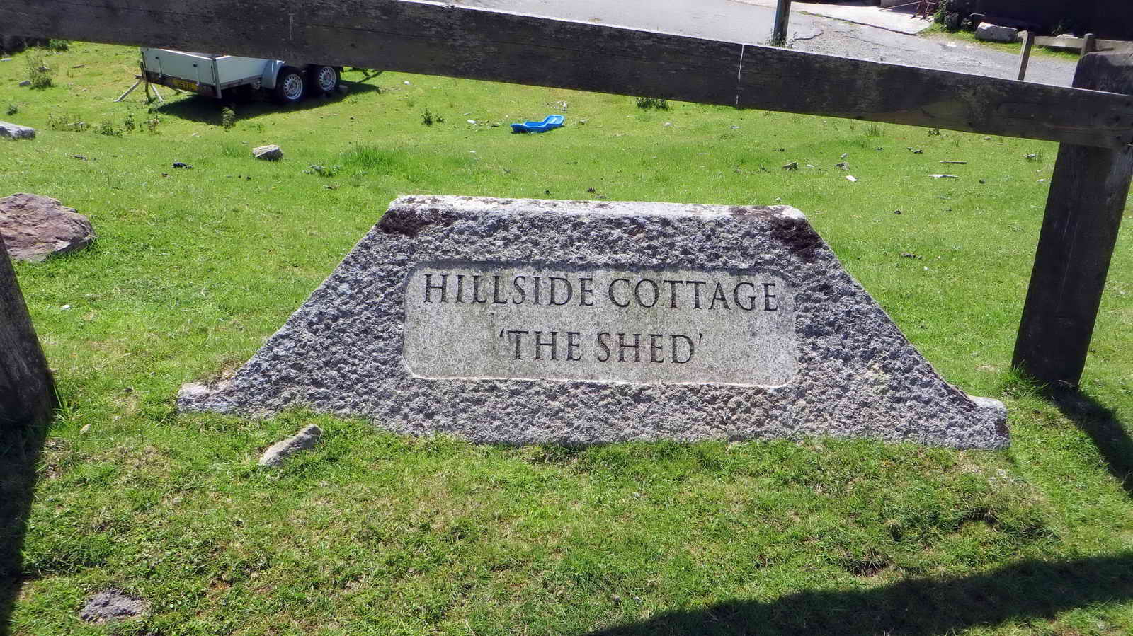
House name along the road ......
The property .....
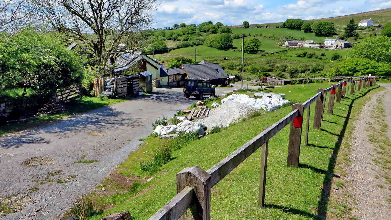
Looking at the old road (right) and today's road (left) .....

TA stone on the roadside, at SX 55193 75014, up the hill towards the car park, a marker along the old wollpacker's track between Ashburton and Tavistock .......
A = Ashburton.
MAP: Red = GPS satellite track of the walk.

© Crown copyright and database rights 2012 Ordnance
Survey
Licence number 100047373
Also, Copyright © 2005, Memory-Map Europe, with permission.
This walk is accessed from the P symbol car park marked with the yellow cross right beside the B3357 at Merrivale, between Tavistock and Princetown.
Statistics
Distance - 5.2 km / 3.23 miles.
All photographs on this web site are copyright ©2007-2016 Keith Ryan.
All rights reserved - please email for permissions