s![]()


This walk: 2014-5-15. Bennett's Cross, North Walla Brook (or River Bovey) head mire, sedge species, Assycombe Hill, ponies, Hurston Ridge double stone row, Kes Tor, hut circles, Hurston Castle, hawthorn tree, rabbit holes, West Vitifer Mine.
Walk details below - Information about the route etc.
Link to Google Satellite view of the area - including the GPS track of the walk (compare with the Ordnance Survey map plus track below)
Previous walks in this area: 23rd August 2012 & 15th May 2013.

Bennet's Cross (spelt "Bennett's" on the OS map), SX 6800 8163 with Birch Tor in the distance. It has served as a boundary stone for ......
the parishes of North Bovey and Chagford
Headland Warren
Vitifer mine complex
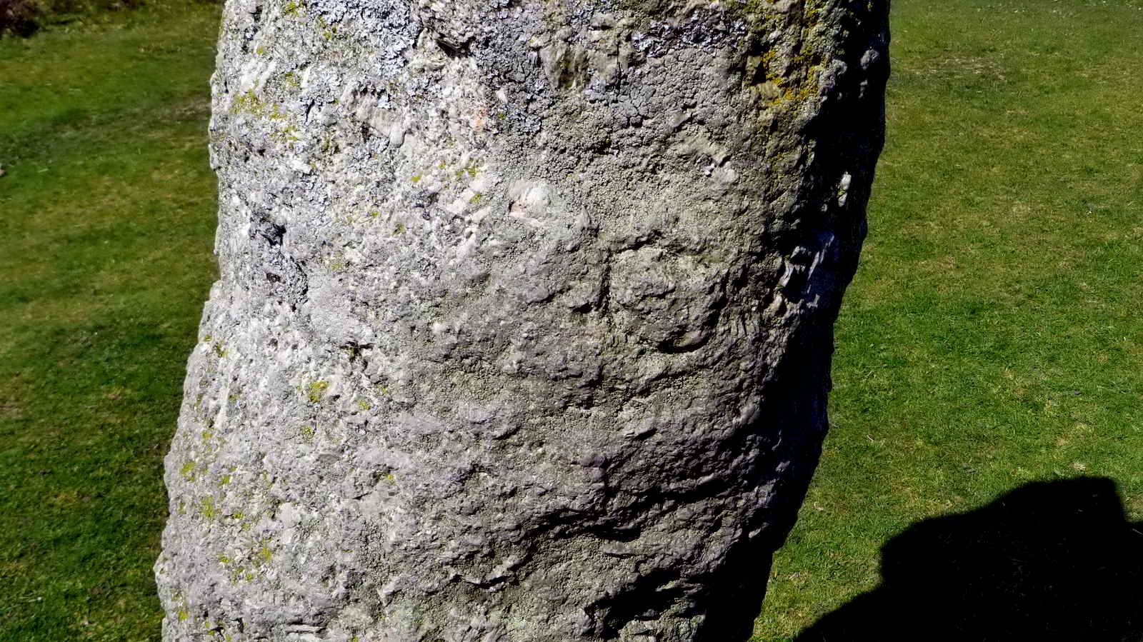
Seen on the rear of the cross as seen in the preceding photo - is this an inscribed letter or merely a flaw in the stone?
"Follow me".
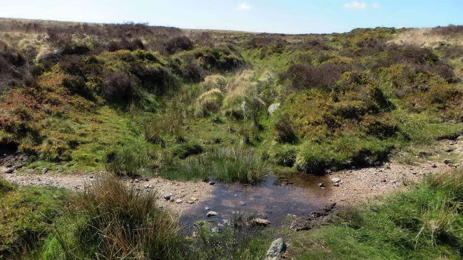
Head mire of the North Walla Brook (as marked erroneously on the map, according to Hemery, p. 710, citing Crossing as well over the name) or Hurston Water, a local name still in use according to Hemery, which is really the head of the River Bovey. In this area are the disused workings of the Water Hill Mine more towards King's Oven (SX675812, Helen Harris, 1968,The Industrial Archaeology of Dartmoor, David & Charles, p.47) and the Bushdown Mine (SX680818). Hemery uses the name of Boveycombe, for this spot? The Jeremy Butler map for this area (Vol. 2, Map 25) shows this as "River Bovey". The unprofitable Bush Down Mine was in this area, being re-opened in the 1870s as part of teh West Vitifer Mine (visited later on the walk); source: J. Butler (1991), Dartmoor Atlas of Antiquities II, page 33.

General view looking north-east.

A sedge (Carex species) - there are 84 species of true sedge in my book and without a specimen under a microscope, your guess is as good as mine. There are many species of other sedge-like grasses.
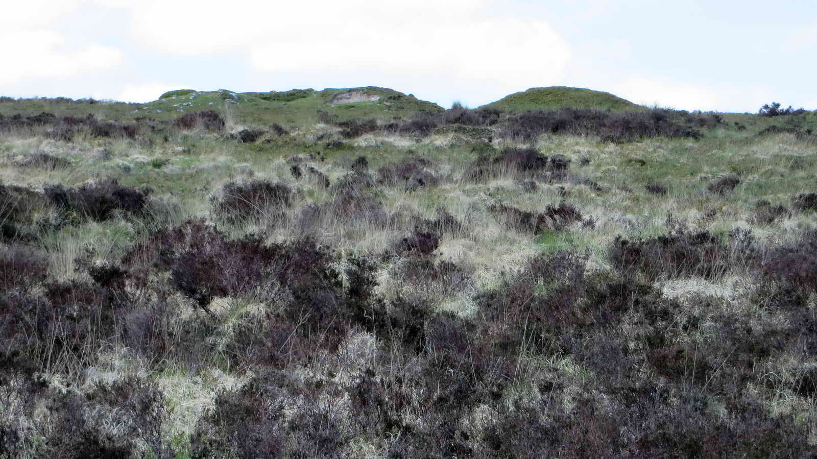
Cairn-like items seen on the skyline from our path, located at SX 67231 81950 .....

On approaching the objects, on Hurston Ridge, Assycombe Hill came into view ..... we surmised them to be old mine spoil.

Light green foliage on trees catching the sun, standing out against the dark conifers of the forestry plantation.
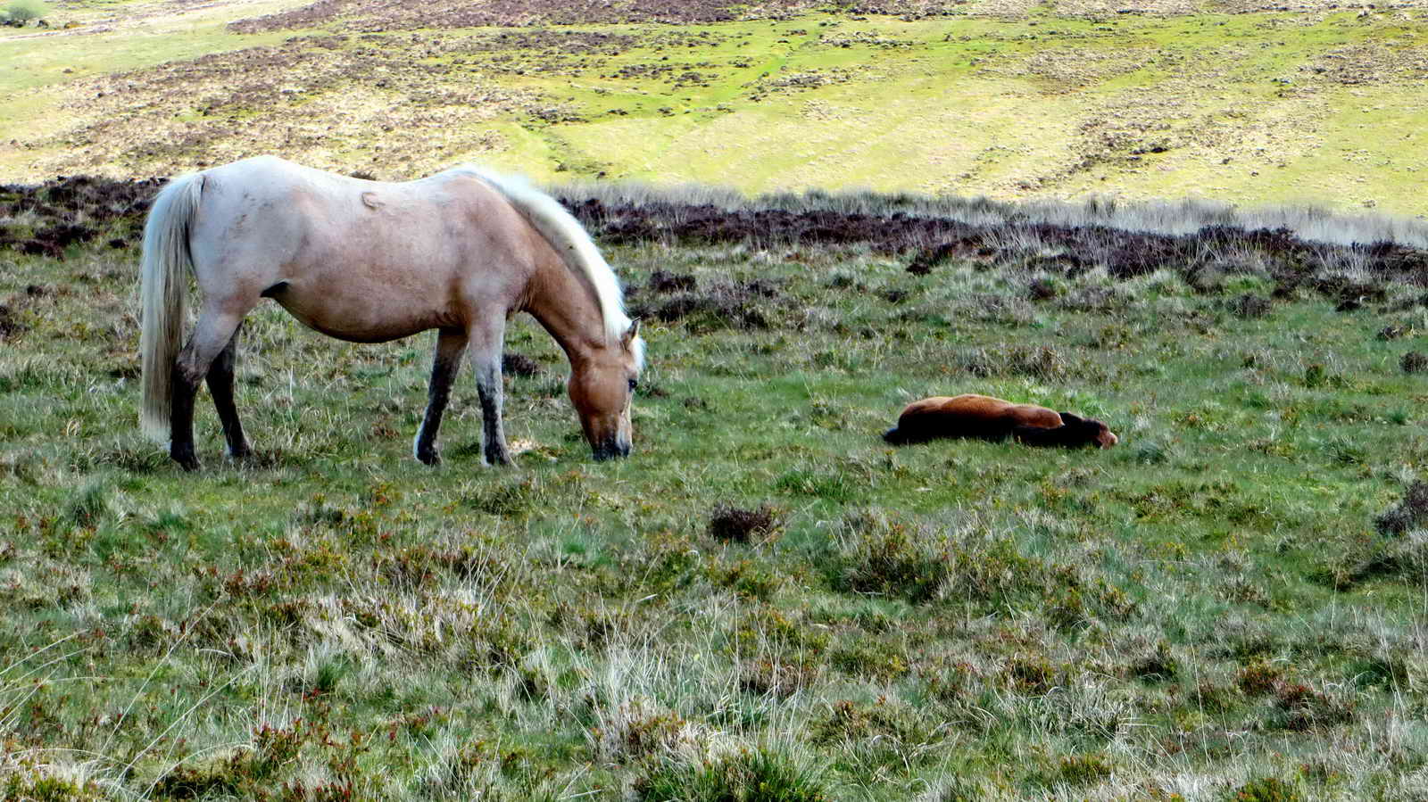
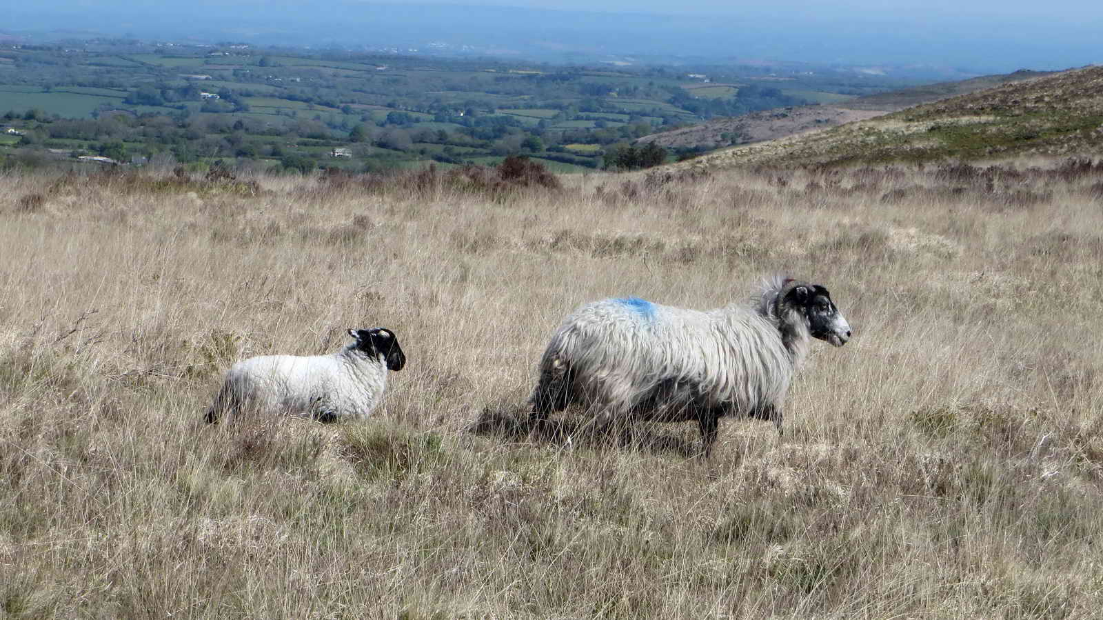
Mare and foal

As previous photograph.

As previous photograph.

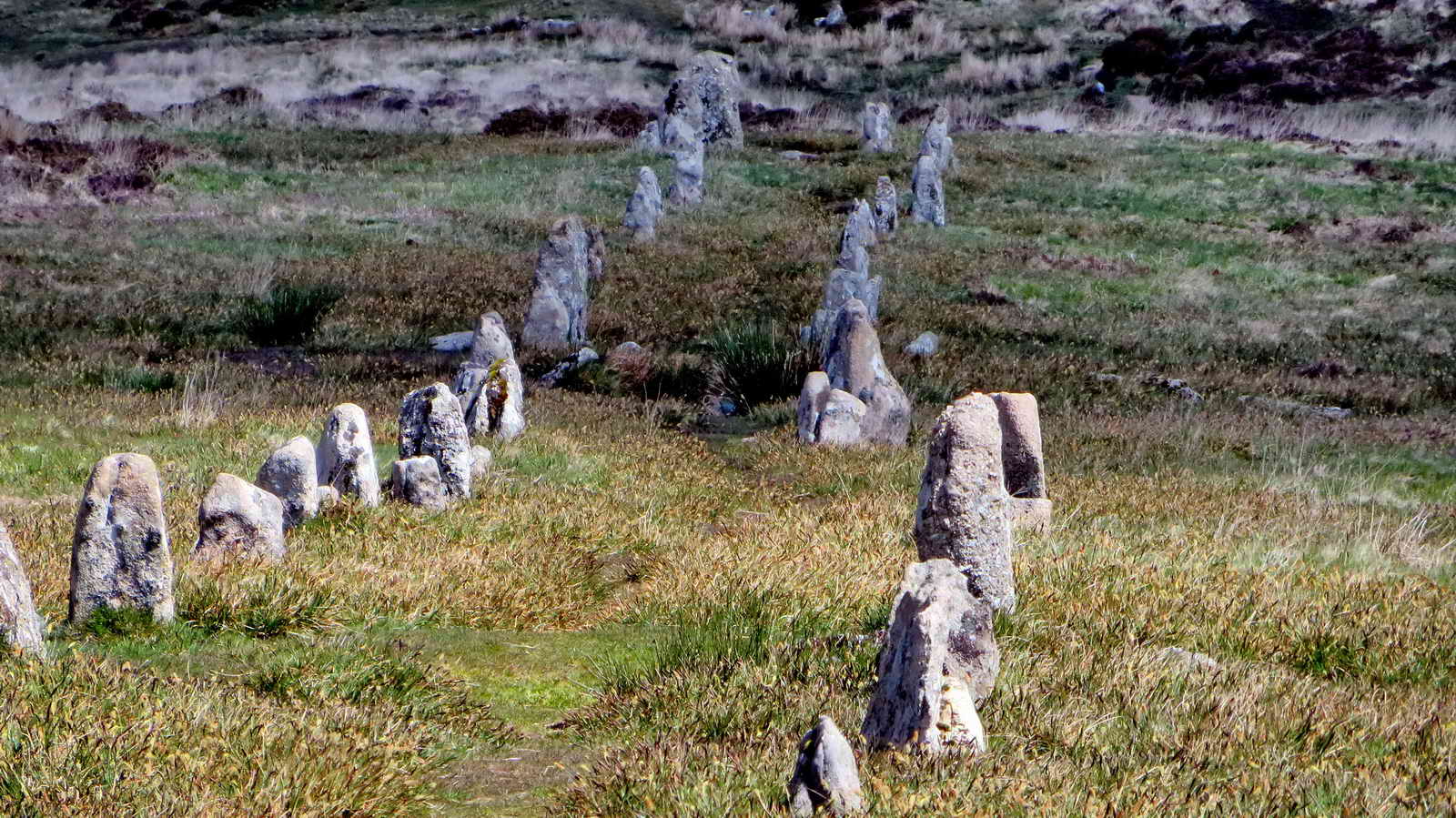
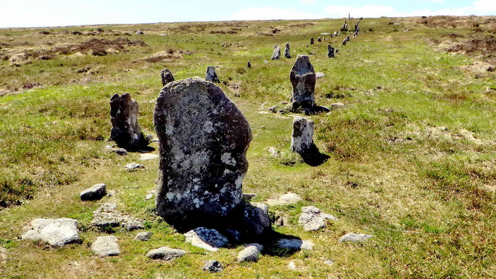
Hurston Ridge double stone row, SX 6729 8250, one of the best examples of its kind, mostly in its original state. There are 99 stones arranged in 49 pairs. There is a cairn at this upper (south-west) end, visible from the blocking stone at the lower end. Orientated NE-SW. The feature is described by J. Butler (1991), Dartmoor Atlas of Antiquities II, 25.9 Hurston Ridge stone rows and settlement, pages 30-31.

Same image, cropped .....

View along the rows, looking to the north-east ..... there are 49 pairs of stones, with a larger blocking stone at the far end .....

Similar view .....
Zoomed view to the far end, showing the blocking stone .....

Zoomed view to Kes Tor or Kestor Rock, SX 6654 8628, 2.85 km (1.8 miles) distant .....

Looking back along the rows from about halfway down the slope .....

Later Bronze Age wall of a large enclosure built across the rows .....

The terminal blocking stone at the downhill (north-east) end.
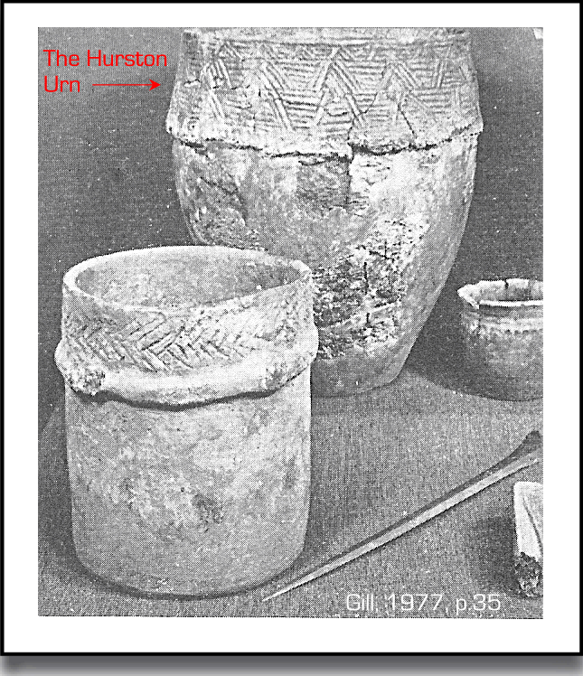
Somewhere in this area is a "lost" cairn described by J. Butler (1991), Dartmoor Atlas of Antiquities II, 25.10 Hurston Ridge cairn, pages 31-32. The cairn was discovered and excavated by the Dartmoor Exploration Committee in 1900 and then it was "lost" again, shortly afterwards. It is labelled as "Cairn A" in a map linked from Legendary Dartmoor's Hurston Stone Row web page - this places it somewhere down to the right in the above photograph, towards the disused (West Vitifer) mine on Chagford Common. During investigations on the cairn by Baring Gould, a stone axe and a cinerary urn (the latter upturned and covering a small heap of cremated bones on a flat stone, covered by a slab) were found in 1900 by the Dartmoor Exploration Committee. A photo of the restored Middle Bronze Age urn (1500-1000 BC) can be seen here (the larger of the vessels). The pattern around the rim is believed made by impressing the clay with a twisted cord. It was restored 1960-1962 and was put on display in the Plymouth Museum. According to Jeremy Butler, in the Dartmoor Atlas of Antiquities, Vol. 2, Page 31, Section 10: Hurston Ridge Cairn, the urn was found in a cairn on the west side of Assycombe Hill which is no longer marked on the latest 1:25000 map.
Addendum: On 4th Dec 2010, photographs of the urn found on Hurston Ridge stone row cairn were taken in Plymouth City Museum: HERE. The urn is about two feet in height, maybe more. The museum description says it is early Bronze Age, 2010-1500 BC.
The terminal blocking stone .....
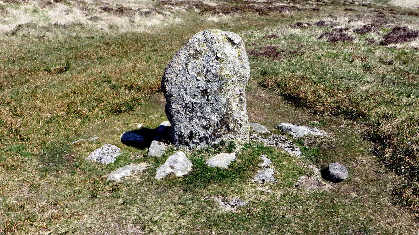
As previous photograph .....

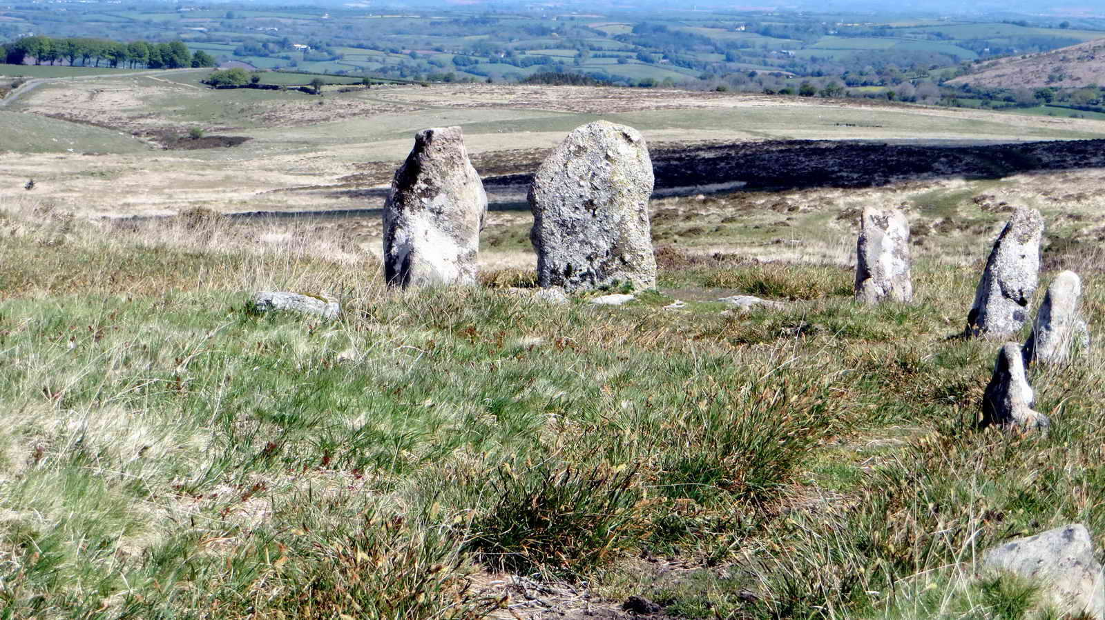
Looking back along the rows to the large standing stone at the other end .....
As previous photograph ......
|
|

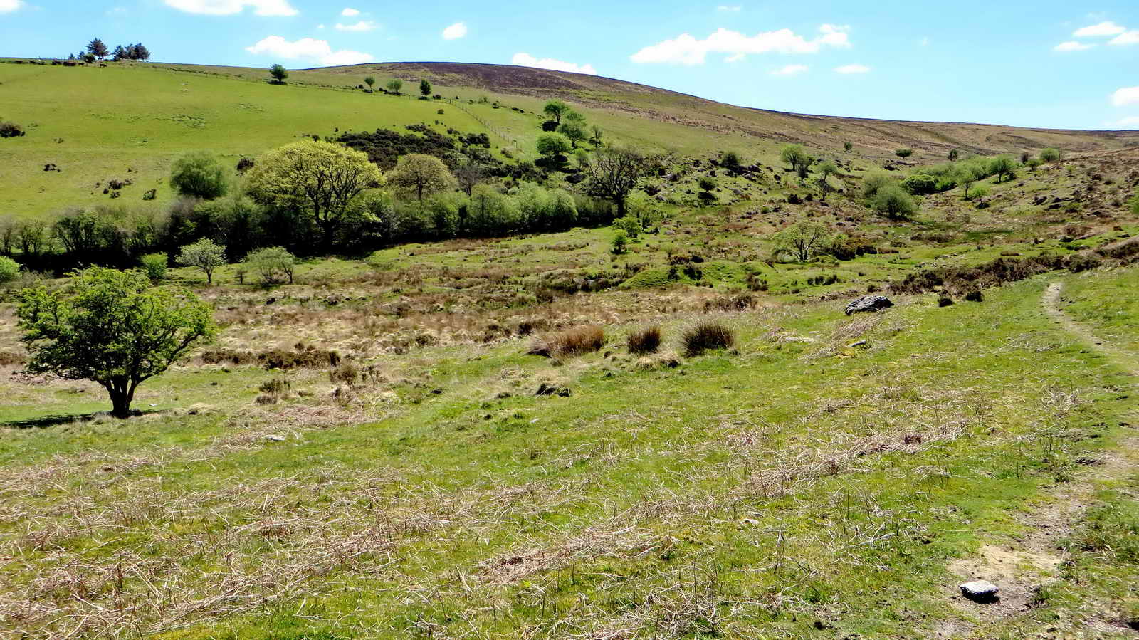
Assycombe Hill, part of Fernworthy Forest.

Believed to be a meadow pipit.
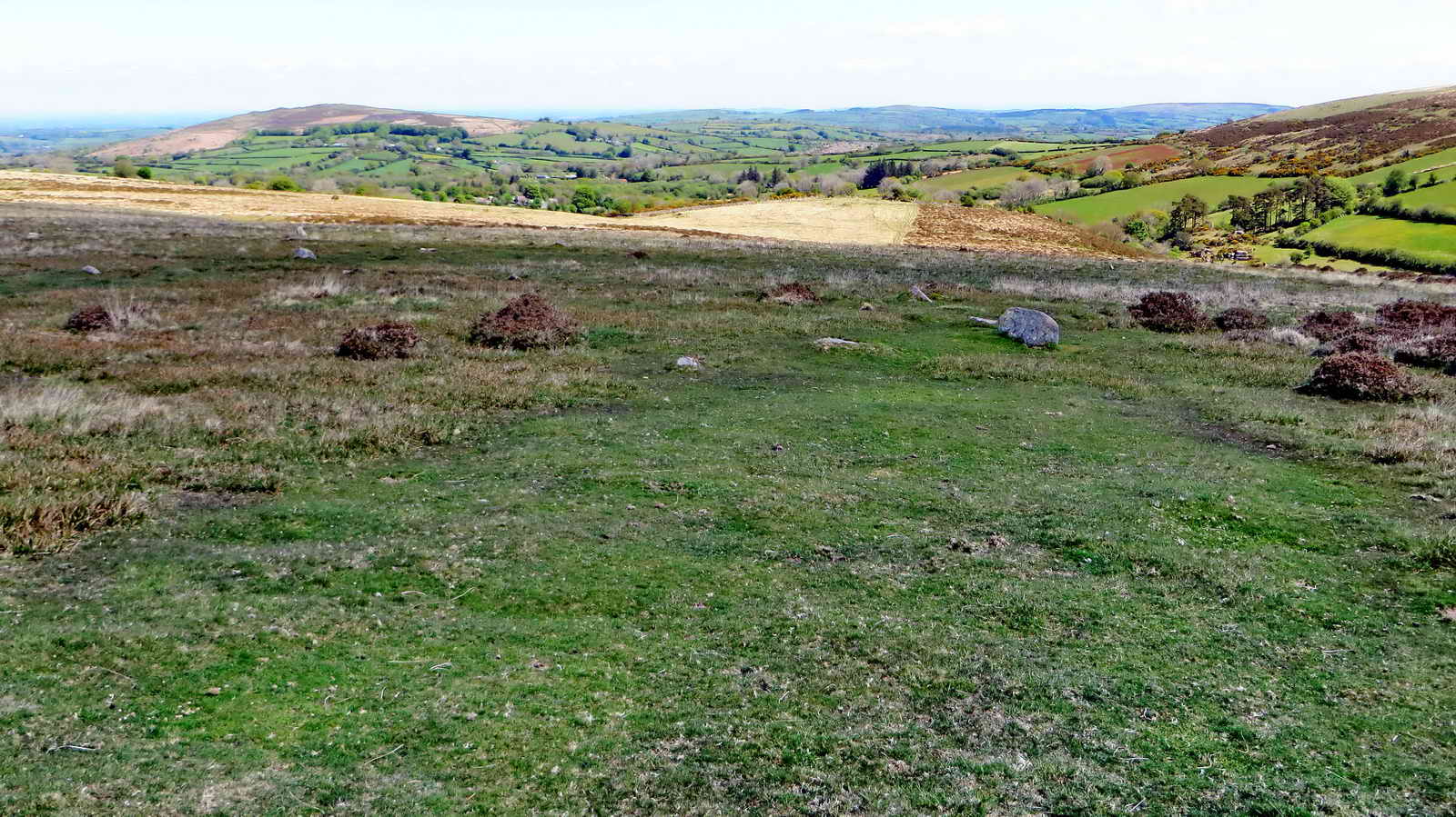
General view looking north-eastwards.

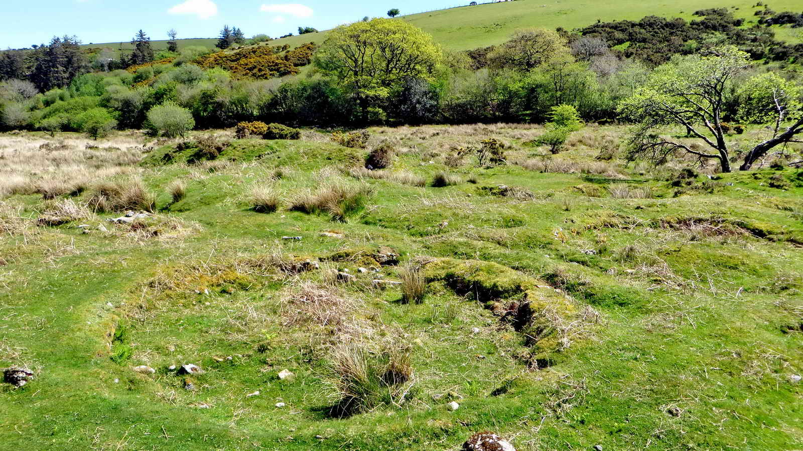
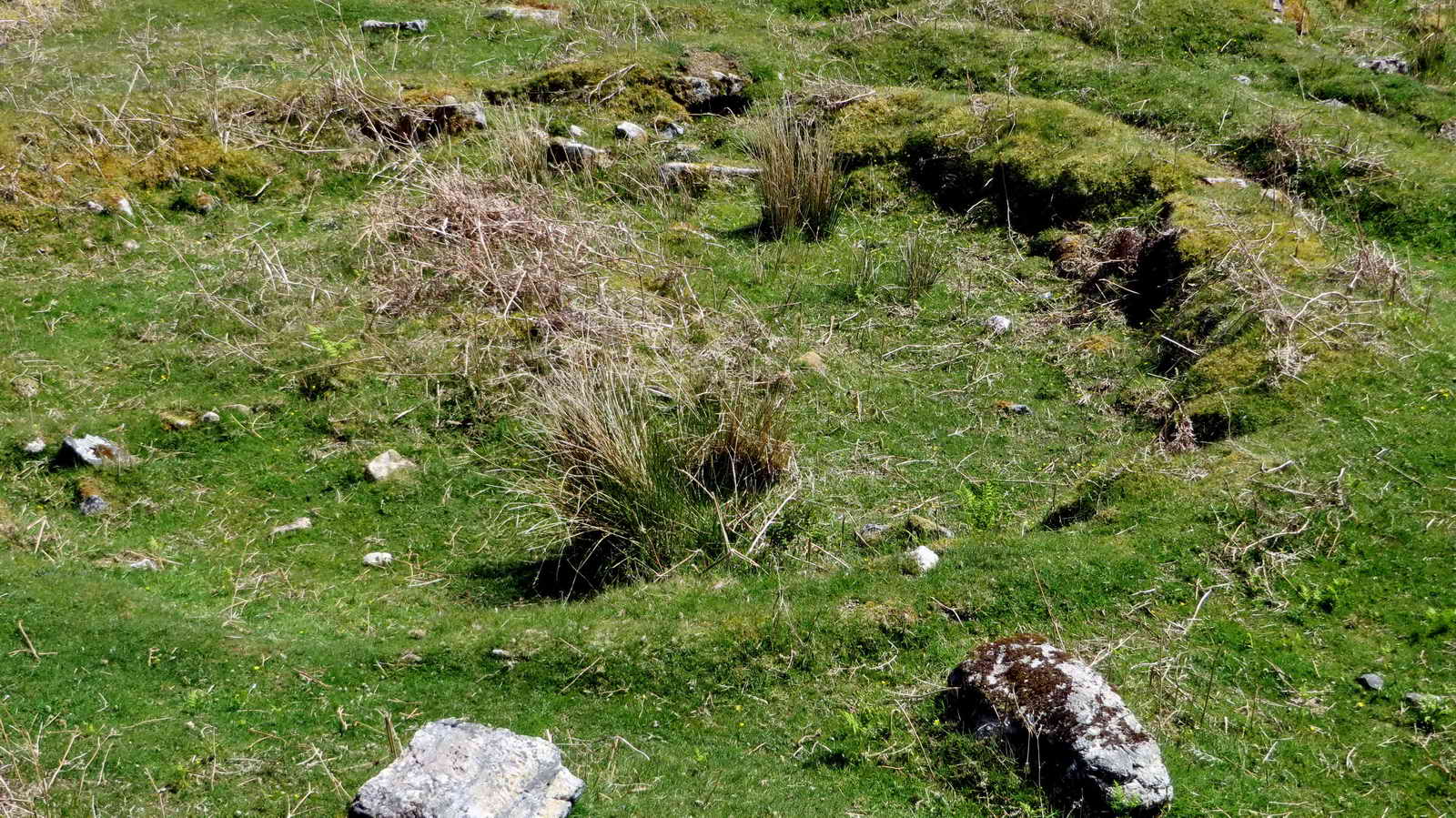
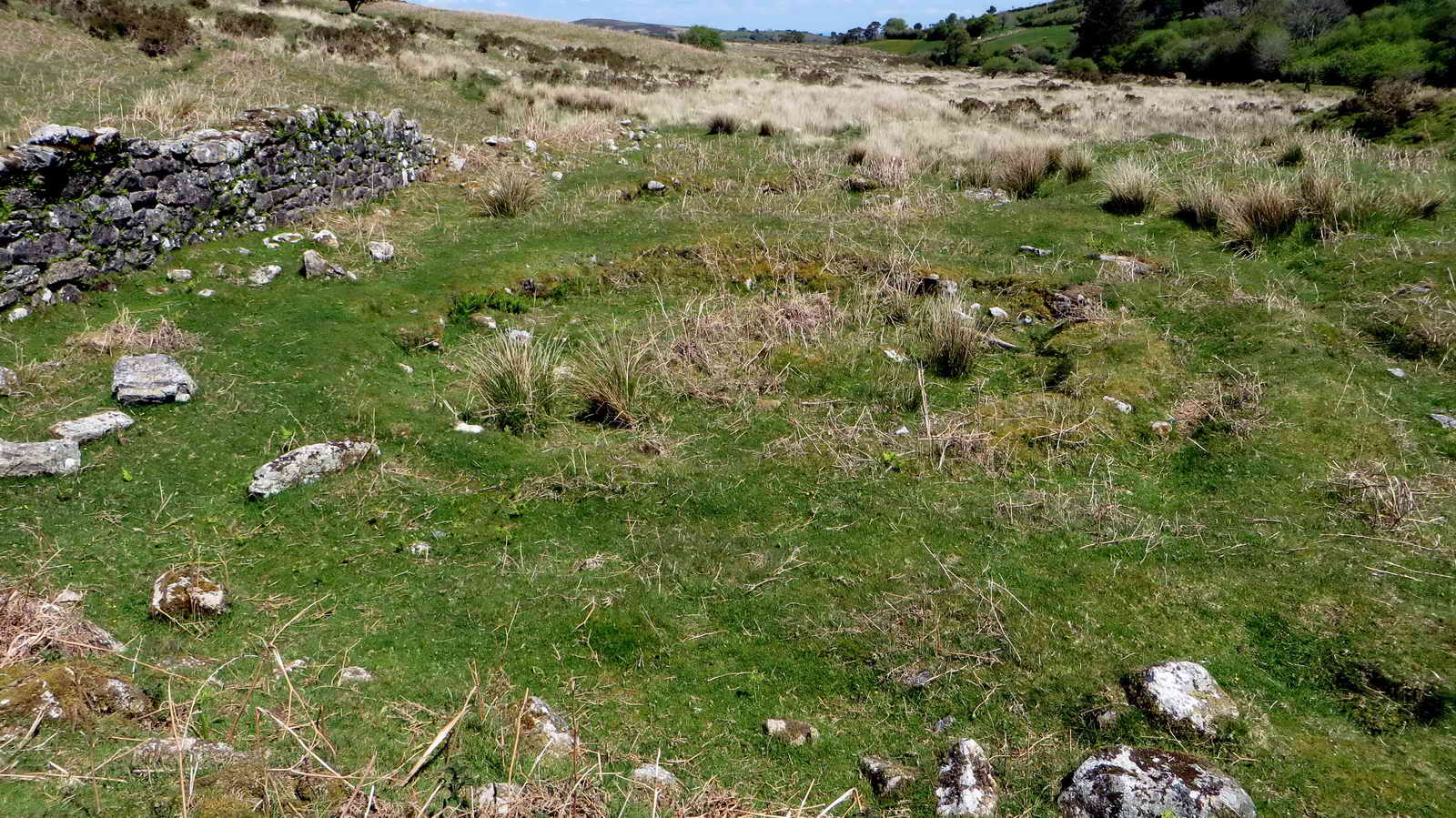
Three hut circles at SX 6786 8314 .....
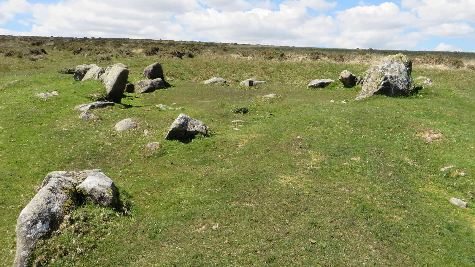
Another view.

Hurston Castle / Castle Rock .....
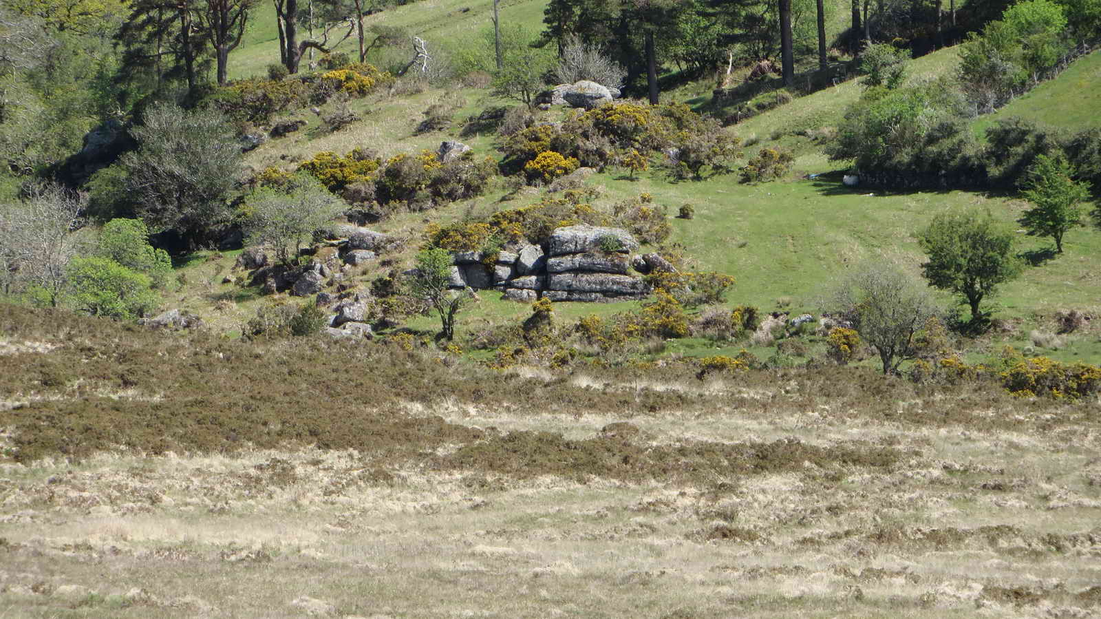
Zoomed view .....

Zoomed view.

Large rabbit hole with a well-worn track running down to the right.
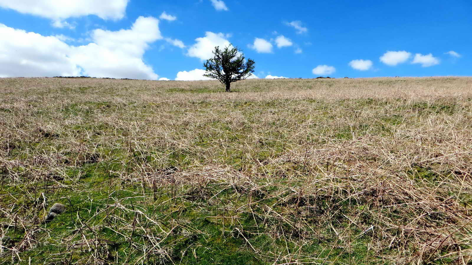
Isolated hawthorn tree .....

Zoomed view.

Very large rabbit hole with many rabbit droppings in the area.
West Vitifer Mine complex ..... described by source: J. Butler (1991), Dartmoor Atlas of Antiquities II, page 33.
Looking over three buddles .....
Near the top of this photograph can be seen a water channel to the next buddle .....
Another view of a buddle .....

Another water channel .....

Another channel entrance .....

Somewhere here was a wheel pit, fed by a leat from the ramp behind .....

Buddle, showing a small "clapper" arrangemnent over a water channel .....

The wheel pit area and ramp behind that brought the water-carrying leat.

Small waterfall seen through the trees .....
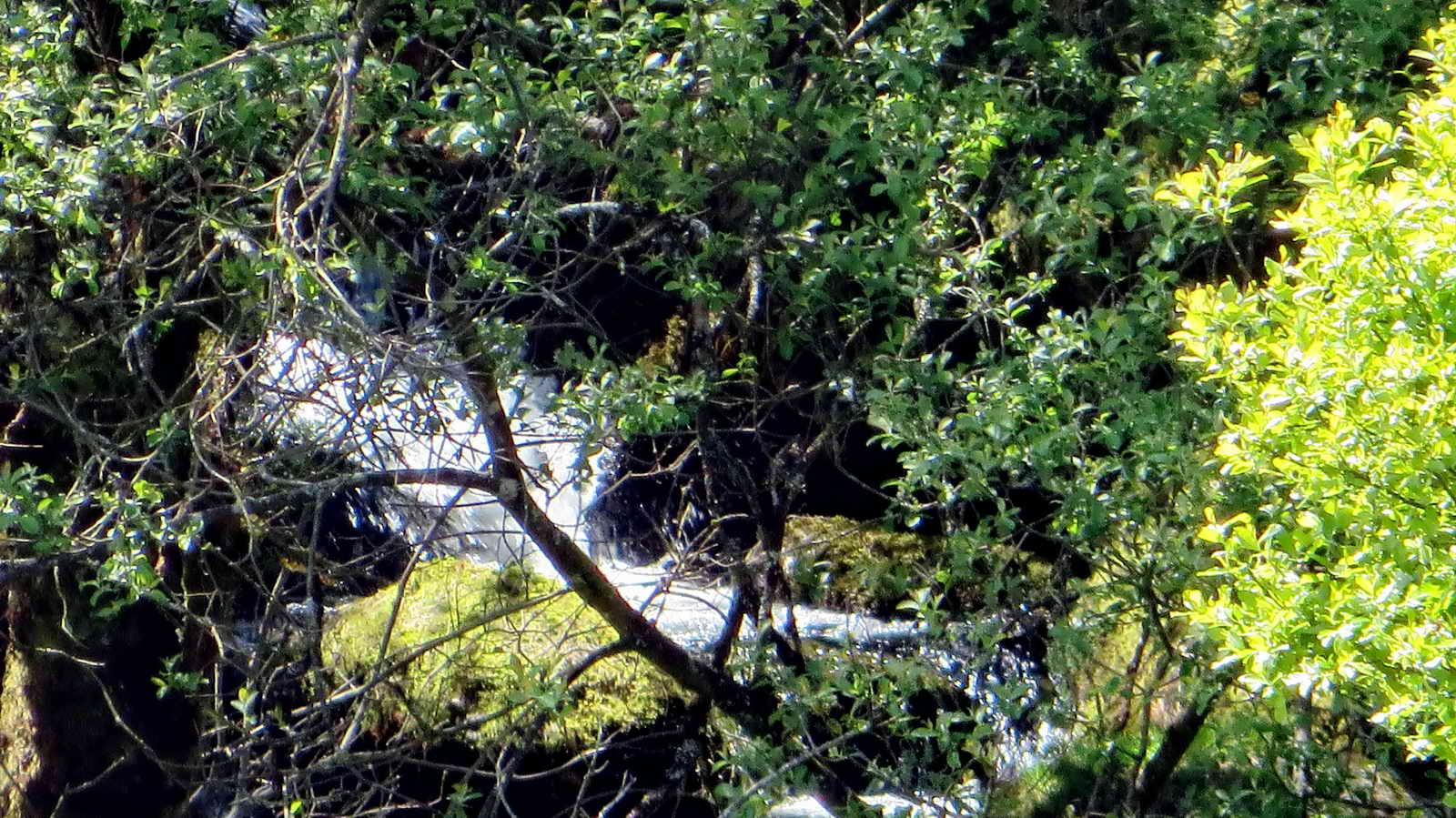
Zoomed view.
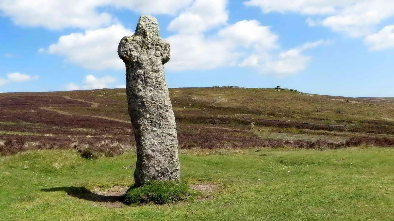
Bennet's Cross, seen in different lighting, showing the inscribed WB = Warren Bounds (from the Headland Warren) .....

Final view of Bennet's Cross.
MAP: Red = GPS satellite track of the walk.

© Crown copyright and database rights 2012 Ordnance
Survey
Licence number 100047373
Also, Copyright © 2005, Memory-Map Europe, with permission.
This walk was reached
by parking at the Bennett's Cross car park on the B3212, just past the Warren
House Inn when travelling from Postbridge, marked the
P
symbol
and
the yellow cross on the map.
Statistics
Distance - 5.37 km / 3.34 miles.
All photographs on this web site are copyright ©2007-2016 Keith Ryan.
All rights reserved - please email for permissions
