![]()


This walk: 2014-10-22. Norsworthy car park, Bal mine whim stone, Middleworth Farm, Deancombe Farm, Combeshead Farm, potato cave, Combeshead Tor, Hingston Hill stone circle and cist, Down Tor cist, hut circles.
Walk details below - Information about the route etc.
Google Satellite view of the area - including the GPS track of the walk (compare with the Ordnance Survey map plus track below)Previous walk in this area: 2nd June 2010.
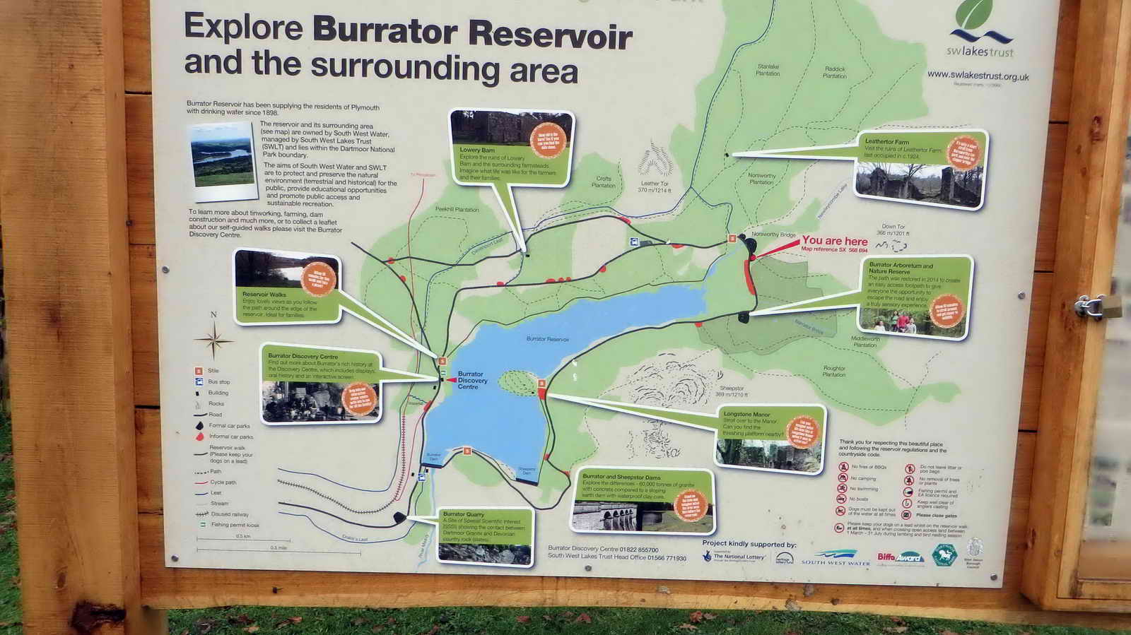
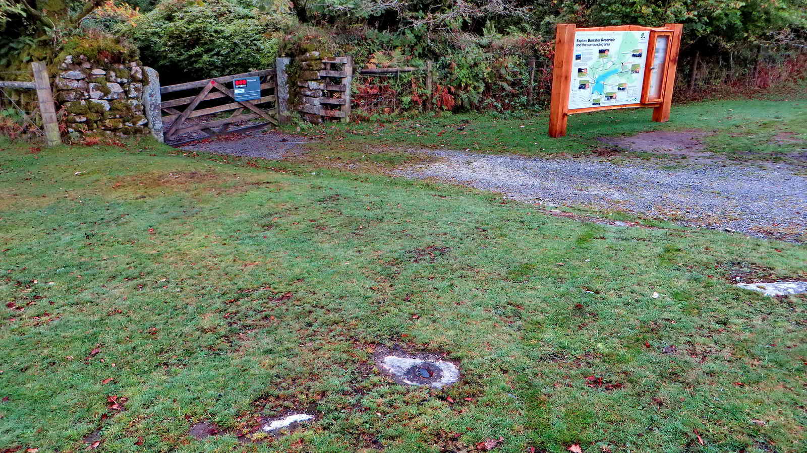
Newly erected sign as part of the Burrator Heritage Project. Click the image to see a larger version.
Whim stone for the base of a horse-drawn whim (winding wheel) - at centre bottom (stone with a hole). .....

Site of the Bal Mine workings (old tin mine) - water wheel pit (towards the left) with a leat bank behind and dressing floor to the right and left.
Step stile on the corner of the wall beside the start of Middleworth Lane from the car park (there is supposed to be a blowing house here somewhere).

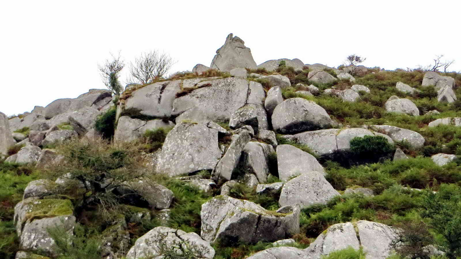
Looking up at Down Tor.

Approaching Middleworth Farm .....

Recorded mention of this farm dates from 1281 (Hemery, p. 159), known as Middelesworthi: There are several ruined buildings of indeterminate age (longhouse/s?) - the last longhouse here (now in the trees) was last inhabited in 1840 by Henry Pearce .....

This barn was built in 1885 by Sir Massey Lopes, the landowner .....

Commemorating Sir Massey Lopes' efforts (the stone is in the top-left part of the wall..... the farm was abandoned by 1919.
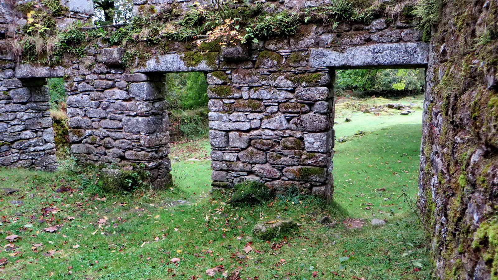
Inside the building, granite springers supported beams for the first floor.

Middleworth Tor, seen from Middleworth Farm .....
Middleworth Tor.

Trees just beyond Middleworth Farm.
Approaching Deancombe Farm.
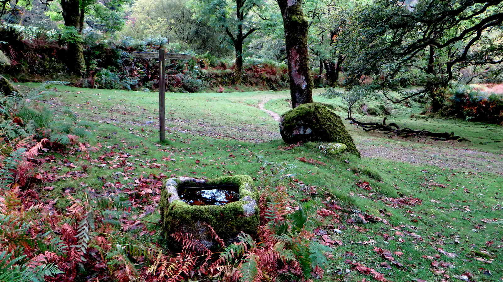
Micro-chipped water trough at the track junction down to Middleworth blowing house and around the plantation.
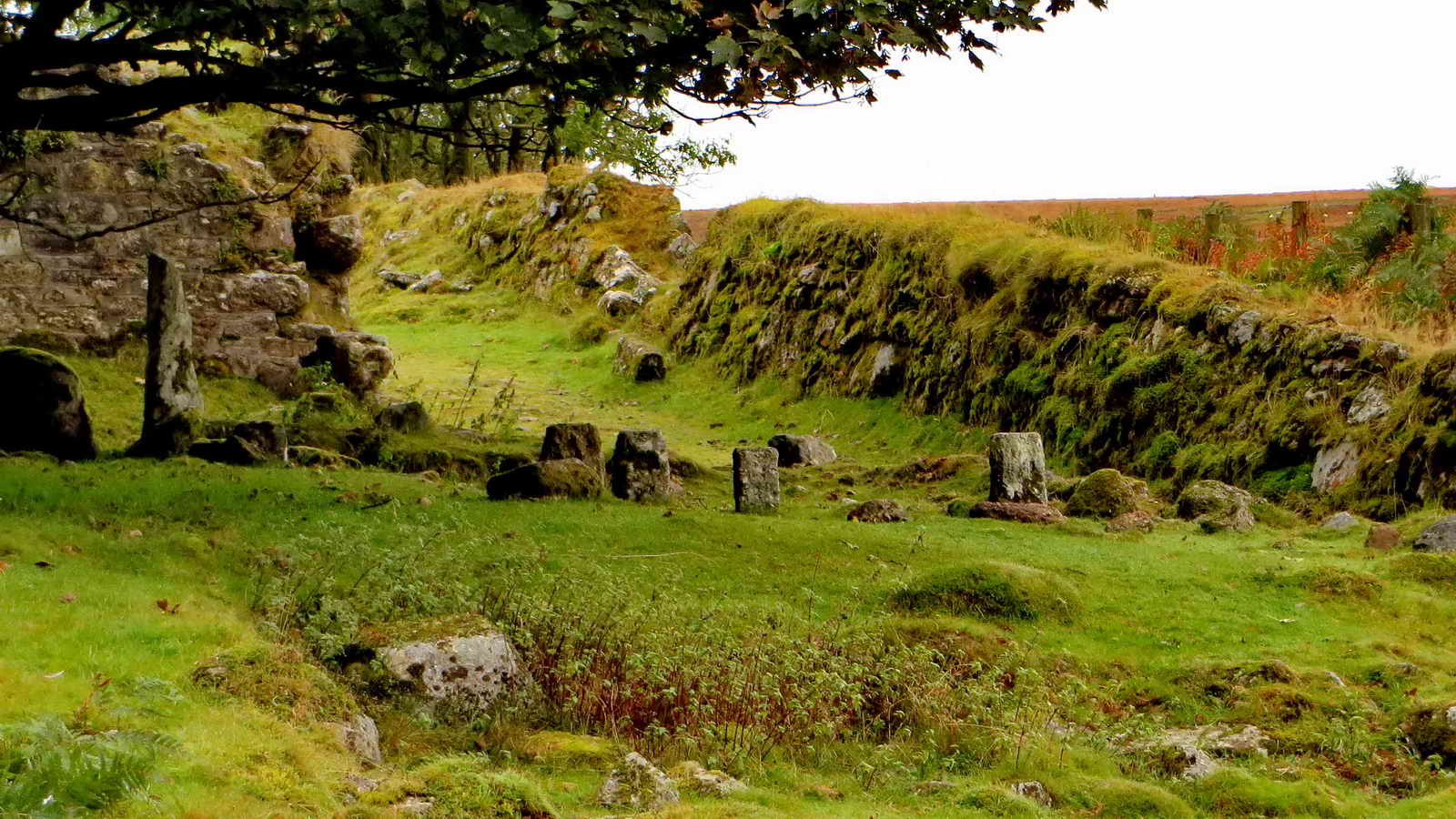
The first record of this farm is from 1450 - there are actually two farms here, East and West Deancombe. The last tenant was here until about 1919. The stones are staddle stones, which were part of an anti-vermin floor design against rats getting the corn.

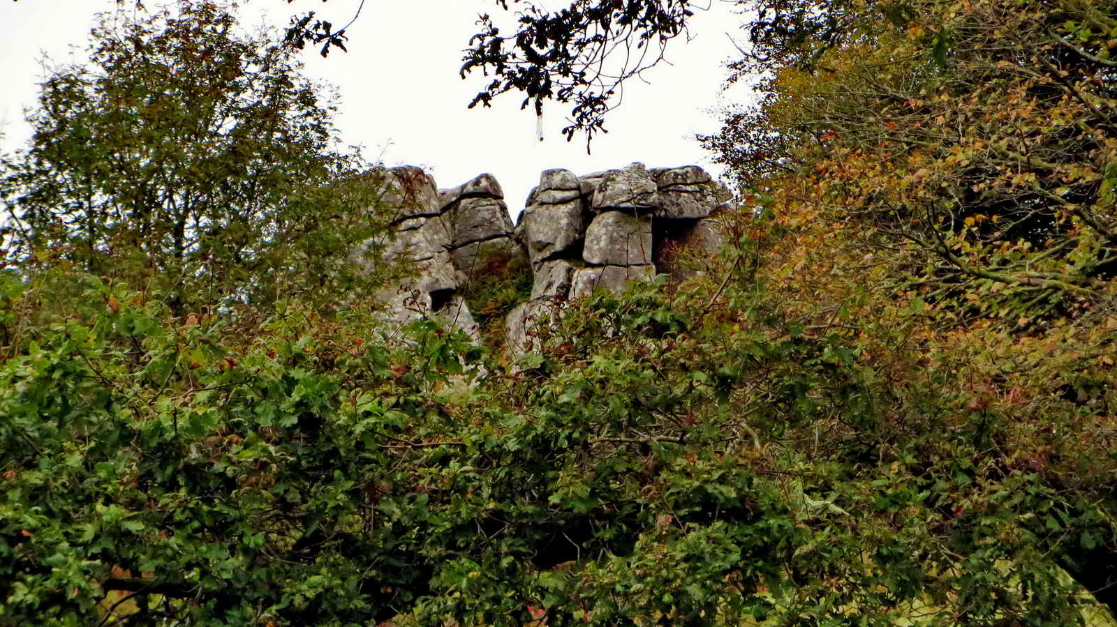
Cuckoo Rock .....
A passing view of Cuckoo Rock .....

A zoomed view of the rock.

Clapper Bridge just below Combeshead Farm .....

Ponies disturbed near the bridge (there is also anancient ford nearby) - mum ran immediately to her foal as we appeared .....

View of Peek Hill (left), Leather Tor (centre, partly below the skyline) and Sharpitor from near the clapper bridge .....
 -
-
Zoomed view to Leather Tor (left) and Sharpitor (right).

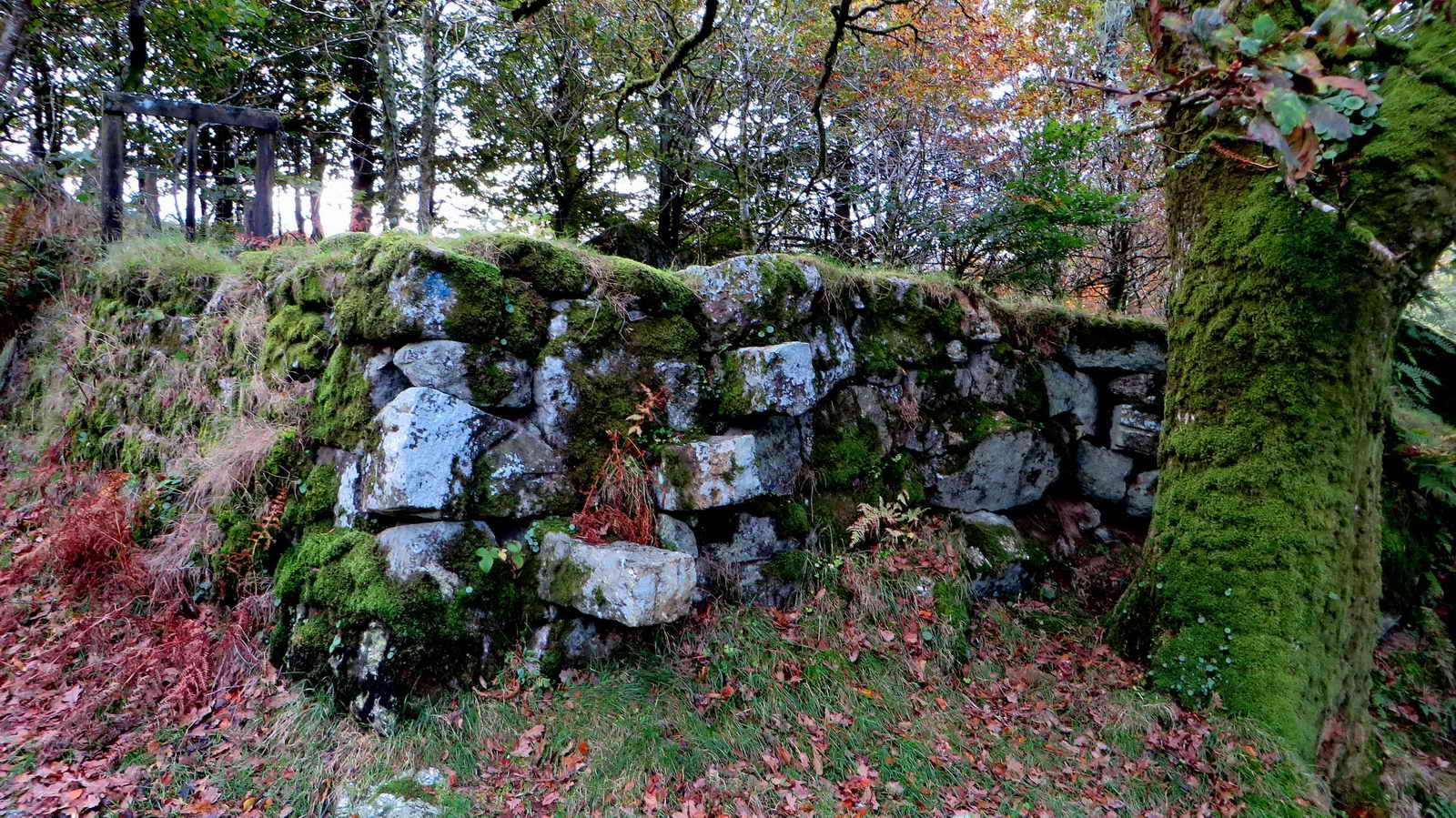
Interesting double-walled structure at Combeshead Farm .....
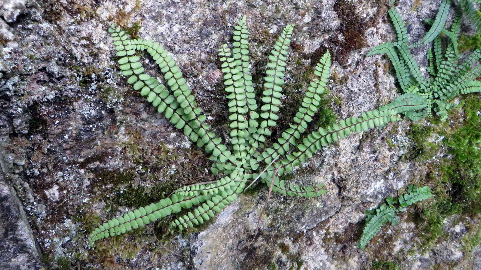
Maidenhair spleenwort (Asplenium trichomanes) .....

Closer view.
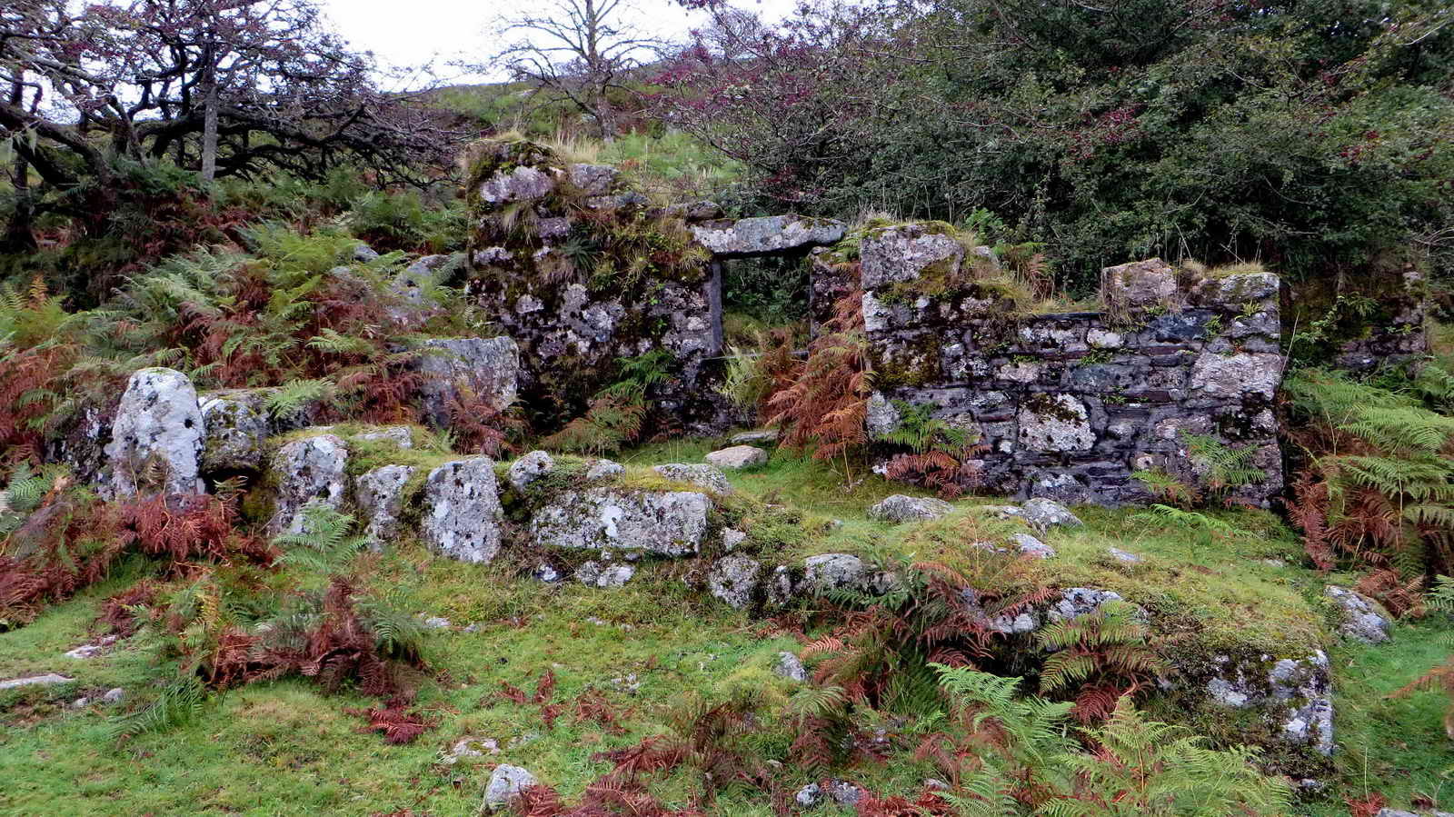
Combeshead Farm, SX 58562 68550, mentioned as Combshead in records from 1768, occupied until Dec. 1931 when William Pengelly dies there at the age of 90: this was the last farm to be occupied in the Burrator catchment area (without livestock.

Cuckoo Rock, seen from outside the farm house .....
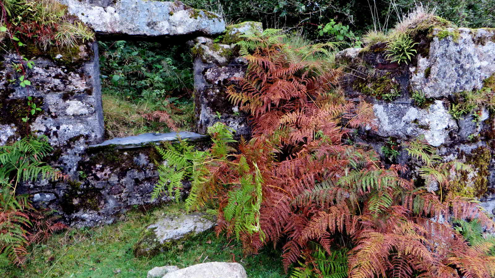
A farm window .....

Nearby potato cave at SX 58637 68548 .....
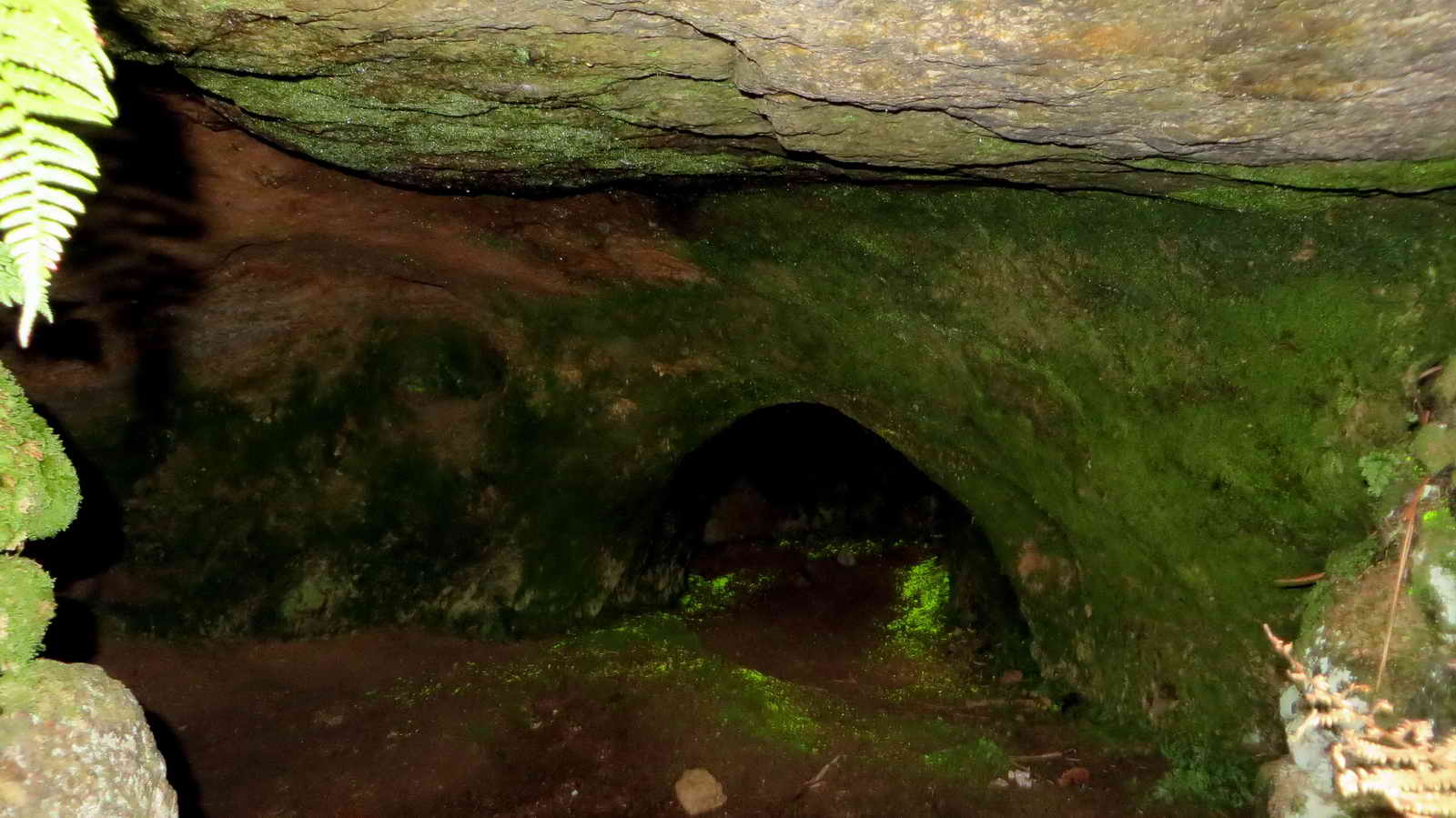
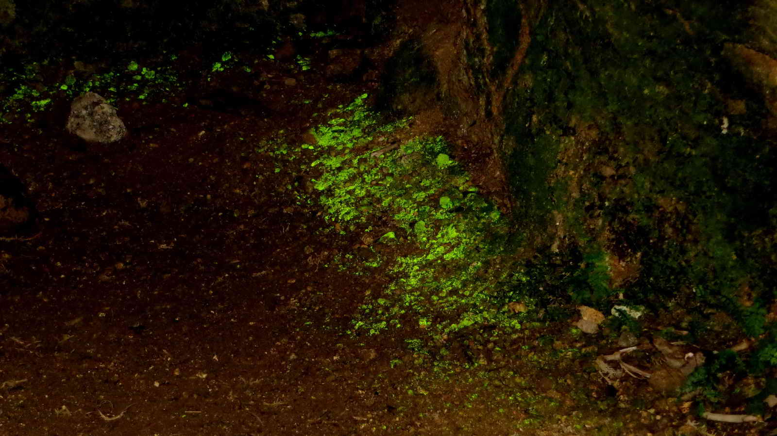
Inside the cave - luminous moss, "goblins gold", presumably Schistozega pennata .....
 yyy
yyy
As previous photograph - it looks best from teh entrance area, the closer you get, the fainter it gets .....
Ditto.

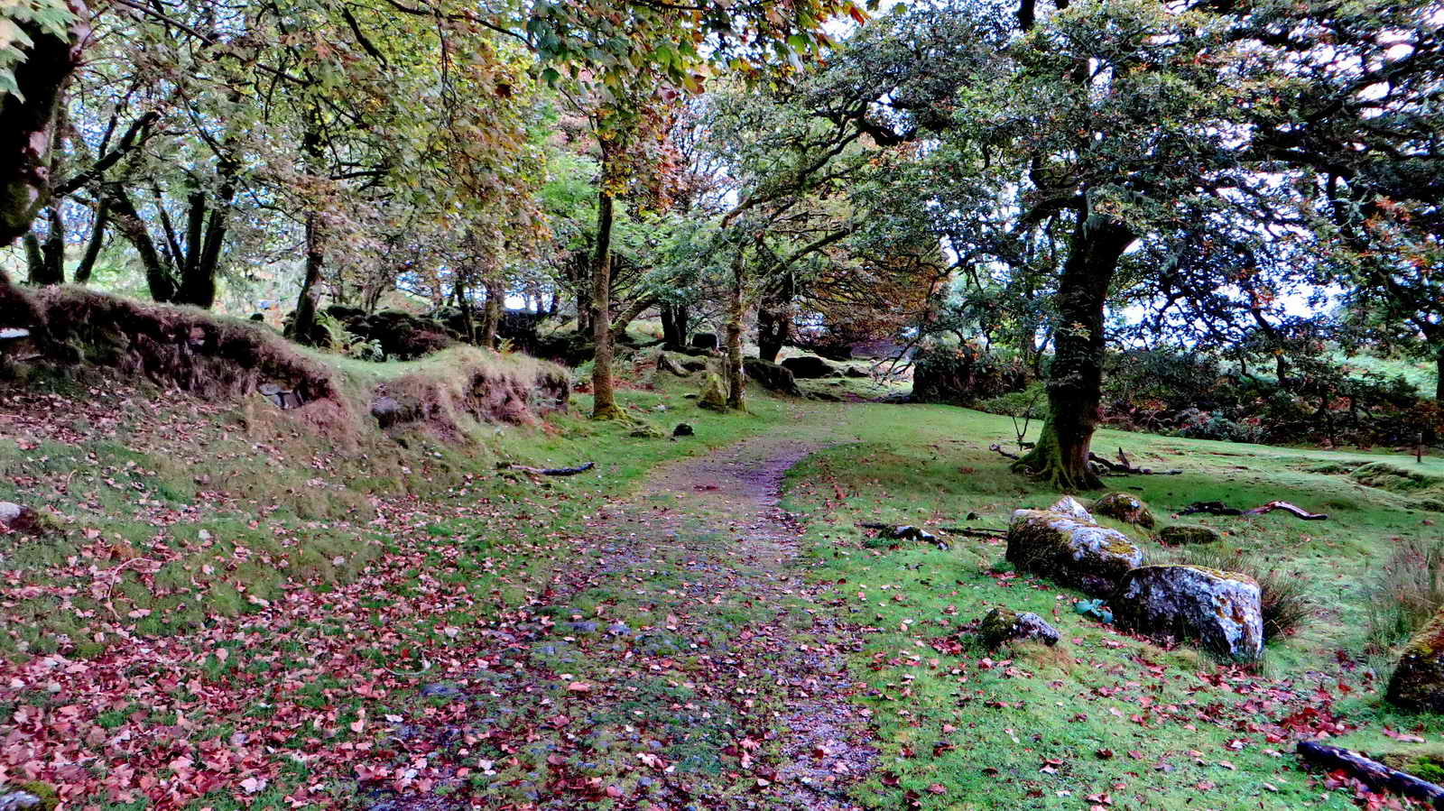
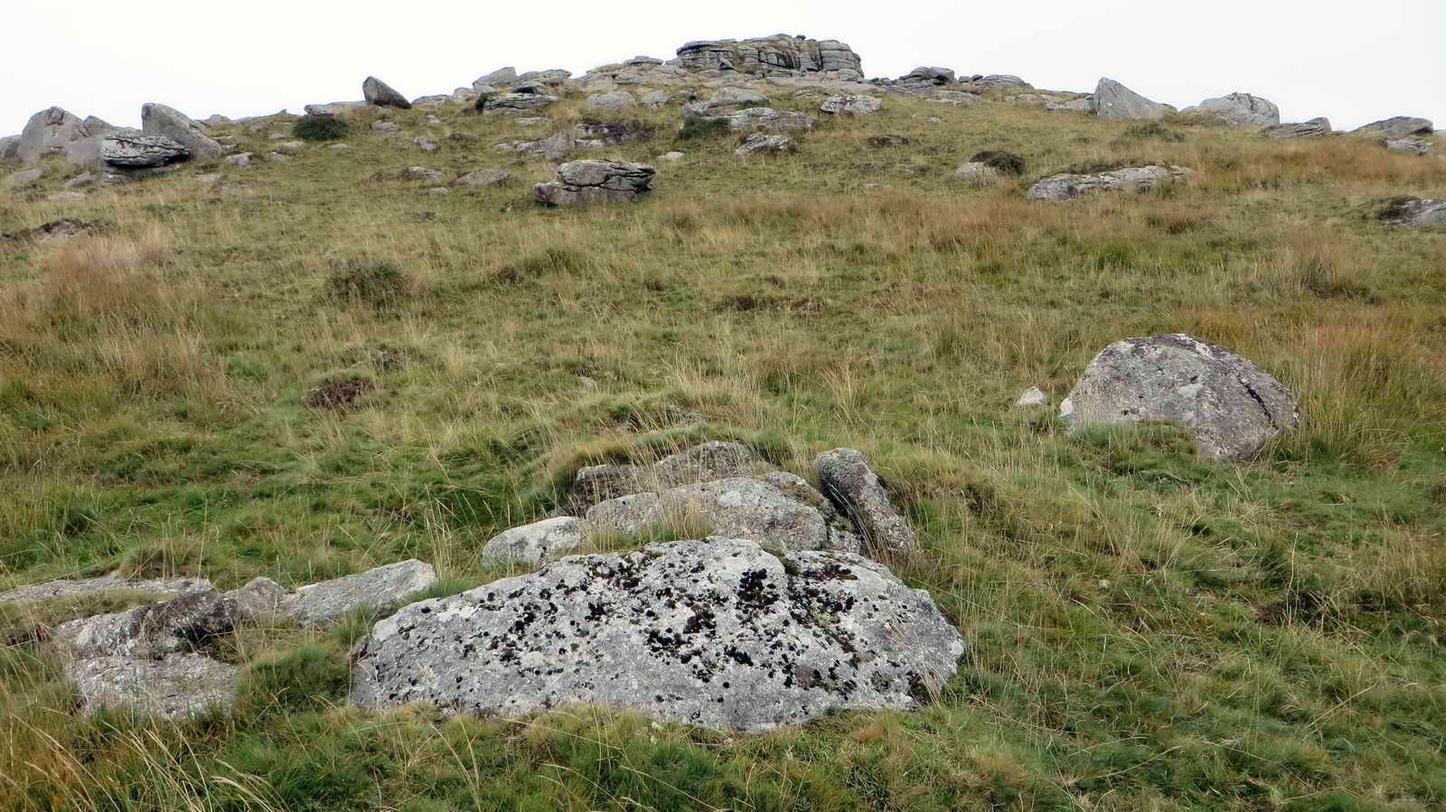
On the path going towards Combeshead Tor.

Combeshead Tor, SX5875 6882, elevation 371 metres (1217 feet) .....

Unidentified lichen.

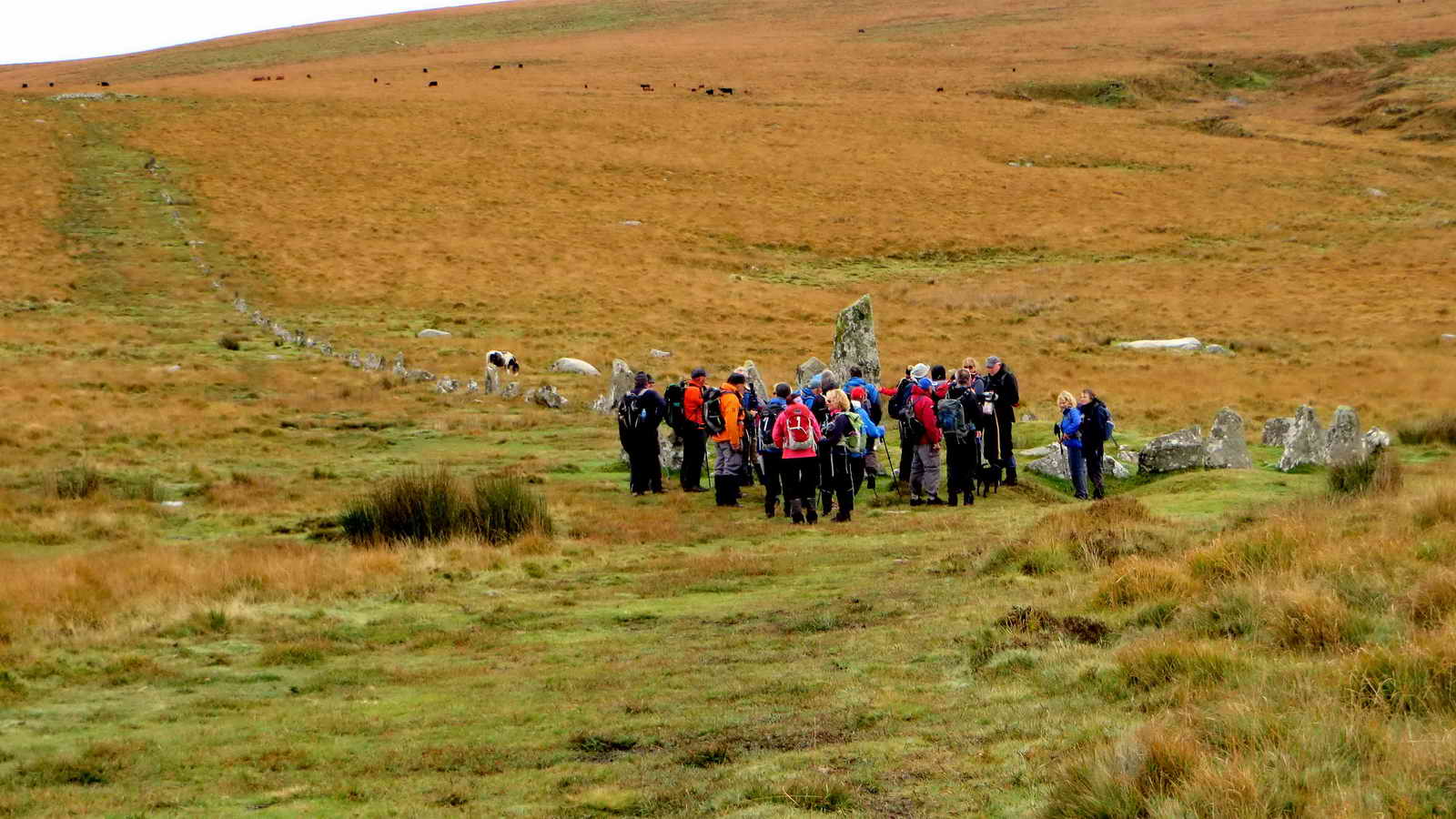
Members of the Long Distance Walkers Association (seen on the "recce") at the Hingston Hill stone circle, cairn / cist and row .....

Cist (centre of the circle) and a view of the stone row disappearing up the hill - the circle has 27 standing stones and the row 157 - both features have had many stones re-erected. The row is 351 metres long.
Another view from the "recce" .....

Photograph taken on the walk .....
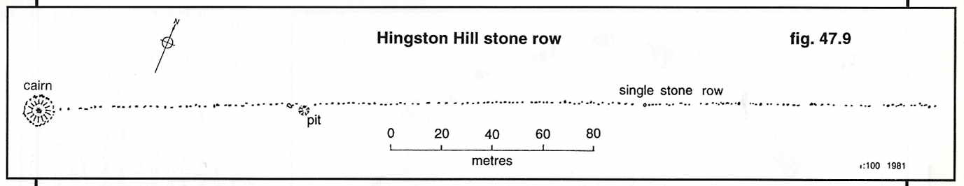
The Hingston Hill features are described by J. Butler (1994), Dartmoor Atlas of Antiquities III, The South West. 47.12, 13 Hingston Hill stone row and cairns, pages 71-74.

Sheepstor (left), Burrator reservoir, Peek Hill, Down Tor (near), with Leather Tor behind and Sharpitor (right).

Down Tor cist, SX 58031 69287 .....
Cist (with capstone) in the foreground with Down Tor behind.
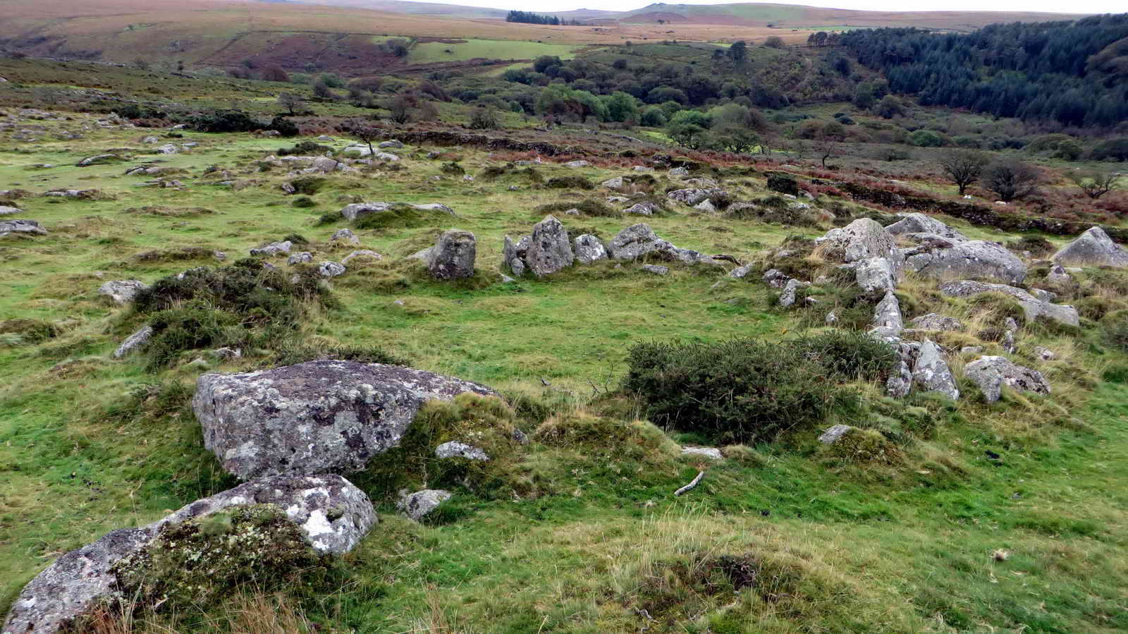
Large hut circle at SX 57988 69232 - there are actually two huts here, side by side .....

The two hut circles, with Burrator reservoir behind.

Unidentified Usnea species, possibly the "String of sausages" lichen, Usnea articulata ......

Closer view, but the "stalks" don't look a lot like sausages here - they are perhaps not articulated enough.

Back at Deancombe Farm staddle stones again.
MAP: Red = GPS satellite track of the walk.

This walk was reached by driving to Dousland, turning at the Burrator Inn crossroads towards Meavy, then left to Burrator Reservoir, continuing past the dam to the top end of the reservoir, over the small bridge (Norsworthy Bridge) and parking in that area, indicated on the map by the yellow cross.the P symbol on the map.
Statistics
Distance - 6.32 km / 3.93 miles.
All photographs on this web site are copyright ©2007-2016 Keith Ryan.
All rights reserved - please email for permissions