![]()


This walk: 2013-8-1. Walkhampton Church, thistles, bee, poetry plaques, cattle "creeps", cow, granite setts, railway trackbed, stone row, RAF Sharpitor, Peek Hill, bunkers, cairns, Sharpitor, Leather tor, Burrator Reservoir, Lowery Tor, Lowery barn, Peekhill Plantation, Lowery crossing.
Walk details below - Information about the route etc.
Link to Google Satellite view of the area - including the GPS track of the walk (compare with the Ordnance Survey map plus track below)
Bing and Google maps side by side - but no GPS track.
Other walks in this area: 25 Feb. 2009, 4 March 2009, 21 Apr. 2010, 27 Aug. 2010, 30 May 2012 and 24 July 2013.

Seen from the track .....

As previous photograph.

Zoomed view to St. Mary's Church, Walkhampton.

Thistles, pleasantly scented .....

Various insects .....

A bee.
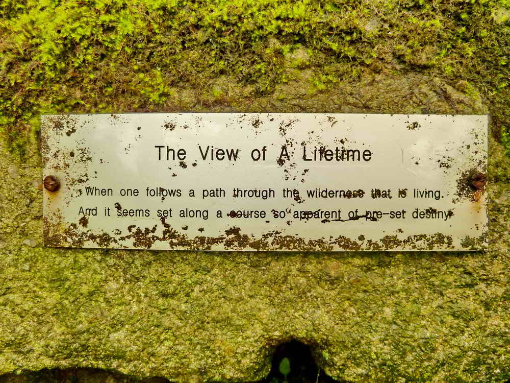
Poetry plaque No. 1 of 5 in this area, at SX 54841 70247 .....
"When one follows a path through the
wilderness that is living.
And it seems set along a course so apparent of pre-set destiny"
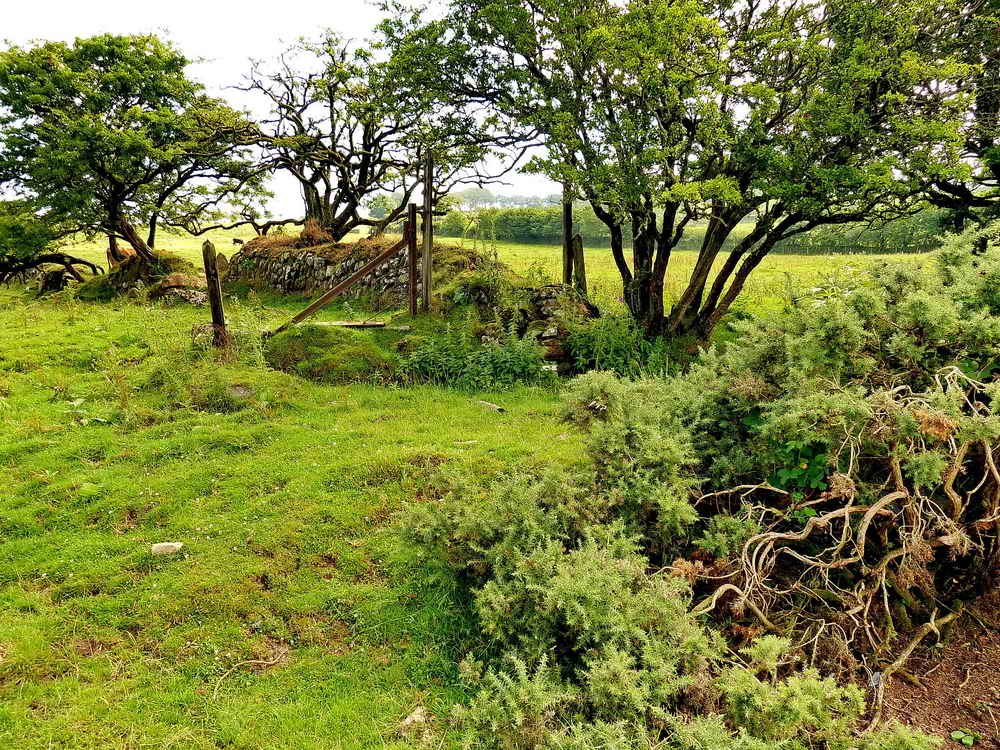
Plaque no. 1 is seen on the end of the wall, roughly in the centre of the photograph.

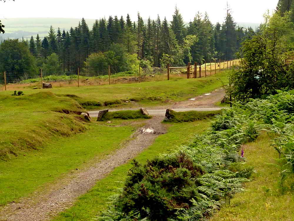
Cattle "creep" under the old railway line at SX 5478 7036 .....
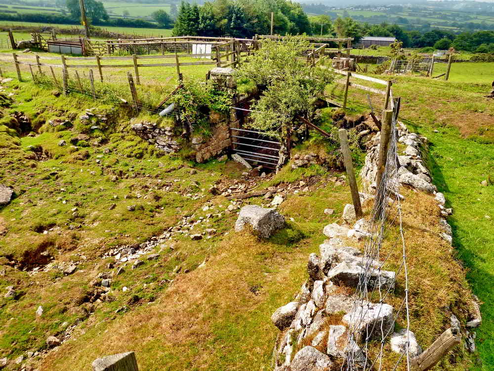
An overview of the cattle "creep".

"Hello".

Another cattle "creep" at SX 5454 7079 .....

Located at SX 54542 70794, under the bridge .....
"If not bounding, it may seem hard to
complete one's journey, trudging.
More so, if those around you beset your mind to step with mediocrity"

A grabite sett from the old railway incorporated into the building of the cattle "creep" under the GWR line .....

Another three setts used in the construction, complete with holes from the nails that fixed the rails.
Railway - track-bed of the old GWR railway; this was built on the route of the P&DR - Plymouth & Dartmoor Railway, which opened in 1823 and eventually ran for 25� miles from Sutton Pool to the centre of Princetown. Subsequently, various side branches were added, these being to Marsh Mills, Cann Quarry (1829) and Plympton (1833/34) and in 1858 the Lee Moor Tramway was connected at Plym Bridge. These were all horse-drawn tramways with a gauge of 4' 6". In 1883 the section of the railway north of Yelverton to Princetown was used by the Princetown Railway as the trackbed of the standard gauge (4' 8�" between the rails) line to Princetown. The London & South Western Railway and the Great Western Railway were both involved in subsequent railway developments in the area. In 1878 there was an Act of Parliament enabling the building of the GWR line to Princetown, mostly on the line of the old P&DR line. Source: the internet links shown plus some data from Eric R. Shepherd (1997), The Plymouth & Dartmoor Railway and The Lee Moor Tramway, Ark Publications (Railways).
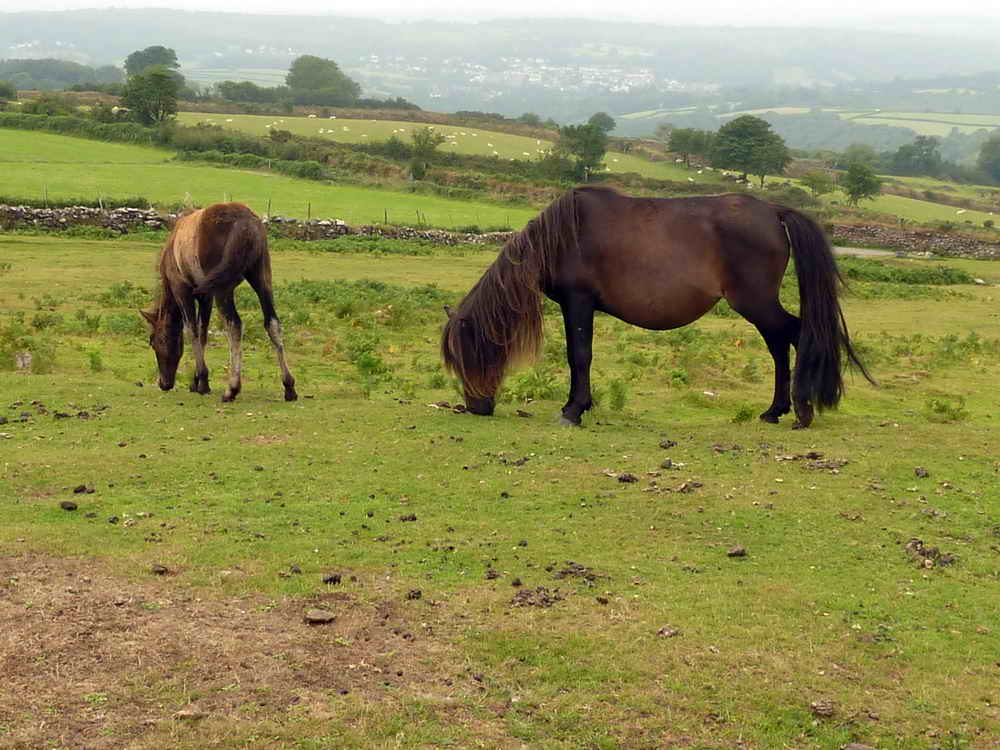
Mother and daughter.

Terminal stone (downhill end) of the stone row, in disturbed ground, centred at SX 54992 70695 .....

Closer view .....

Looking along the row, up the hill, towards the cairn at the far end ......
|
|
The stone row is described in Jeremy Butler (1994), Dartmoor Atlas of Antiquities, Vol. 3 - The South-West, 45.11: Sharpitor West stone row and nearby cairns, figs. 45.6 & 45.6.1, pages 43-44. The row was first recorded in 1963: it runs from an uphill cairn, 132 metres to a 1.2 metre high pillar. As can be seen from the diagram, there are significant gaps in the remaining stones.

The Observer Corps bunker at the top of Peek Hill, built in 1957 as a listening post in the Cold War.
This is at the end of the no-longer-existent road that led to RAF Sharpitor! The road was originally lined on the right side by white-painted stones. I remember the finger signpost that pointed to "RAF Sharpitor" up there, from when I was a youngster (aged 8 or thereabouts, in the back of Dad's car, often wondering what planes, such as Hurricanes and Spitfires and Gannets and Skyraiders they might have up there! Such was young innocence - we lived near RNAS Culdrose, and we saw the naval versions of these planes on an almost daily basis - the naval versions were adapted for flying from aircraft carriers.
Now, if you can find much about RAF Sharpitor on the WWW then you are a better man than me, Gunga Din .............
English Heritage Register of Monuments at Risk Register - this mentions "Prehistoric coaxial field system and cairns, an historic enclosure and part of RAF Sharpitor, situated on and around Peek Hill"
The Royal Observer Corps Remembered web site has a photograph and links to "Location: SX55657003. Opened 1963 Closed 1991 Date of visit: Aug 2009. Post is demolished. The remains of the access shaft is still visible but backfilled. Nearby rubble is probably from the post."
Widecombe History Group Minutes from October 2007 record: Doug & Lyn Pidgeon brought some details of the RAF Sharpitor Mast for Mike Wright who raised the subject at his talk in September. A good article on the subject can be found in The Dartmoor Magazine number 83, Summer 2006 written by Bill Wilkinson.
The following information is culled from The Field Archaeology of Dartmoor, Phil Newman, (2011), English Heritage, pp.241-242 ..... the site, established from 1942 onwards, is poorly represented even on OS maps from the 1950s because of the secret nature of the site. The Royal Observer Corps could spot aircraft with basic optical equipment. In the 1950s, an underground bunker was constructed nearby to "listen" for nuclear blasts from the testing of nuclear weapons by the Soviet Union. This particular example remained in use until 1991 - a "typo" for 1971? (Source: Subterranea Britannica). The blocked access shaft and two blocked air vents are still visible. The standard three-man ROC bunker had two rooms where the larger, monitoring room was over 4 x 2 metres in dimension. Just north of the ROC post are a few remains of RAF Sharpitor-proper: this was a transmitting station set up early in WW2 to guide British bombers into Europe, being part of the Gee Chain (see here). The main feature was a 64 m (210 ft) wooden mast that was replaced by a metal version in a 1956 upgrade. There were at one point 36 personnel stationed here in Nissen huts etc. The site was largely cleared in 1970.
Another internet record on Pastscape has been suggested by Tim Sandles, Webmaster of Legendary Dartmoor .............
RAF Sharpitor - MONUMENT NO. 1454628
"RAF Sharpitor, a transmitting station established early in World War 2 circa 1942 and abandoned in 1971. This small 'Technical site' served as the master transmitting station for the South Western Gee chain and was one link in the national Gee chain - a radio navigational system that enabled aircraft navigators to fix their position accurately throughout most of Europe. The station had a 210 ft wooden transmitting tower and seven Nissen huts including a transmitter block. A 'Domestic site' nearby (SX 57 SE 230 ) served as the personnel accommodation area until it was demolished in 1949. The station was upgraded with the addition of a new transmitter block and a 240 ft high steel transmitting tower in the mid 1950s. In its heyday 35 service personnel were stationed here including 12 technicians who worked a shift system. The station, located just off the prominent summit area of Peek Hill, was demolished and cleared by 1972. The outline of many of the early buildings traceable as slight brick and concrete foundations up to 0.1m high were surveyed in 2007"
Google Map link to the RAF Sharpitor site.

The back-filled entrance to the bunker. There were iron ladder steps down to a room with a table and a bed until it was vandalised: then it was sealed shut.

The ventilation shaft.

Bronze Age cairn at the summit of Peek Hill, SX 556 699, elevation 400 metres (1312 feet).
Zoomed view.

A man-made trace not far from the bunker.
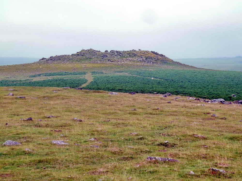
Sharpitor, SX 560 703, elevation 410 metres (1345 feet).

Leather Tor, SX 563 700, elevation 380 metres (1246 feet).

A cairn near the top of Peek Hill, at SX 55618 69935 .....

A non-granitic loose rock in the centre of the cairn - from the BGS interactive mapping, it is an alluvial clay or silt. It appears to be sedimentary, possibly altered by the heat of the granite intrusion.
Using http://mapapps.bgs.ac.uk/geologyofbritain/home.html, first - move the slider at top left to 100% and "Switch Basemap" to Imagery view first (to locate and centre the area of interest), then selecting either superficial rock, or bedrock, or both, using the transparency slider at top right - zoom out to bring in the geology. Click Geology Key (top left) to reveal data ......
- As a superficial rock choice this rock appears to be Quaternary Period HEAD - CLAY, SILT, SAND AND GRAVEL, this rock could be: Polymict deposit: comprises gravel, sand and clay depending on upslope source and distance from source. Poorly sorted and poorly stratified deposits formed mostly by solifluction and/or hillwash and soil creep. Essentially comprises sand and gravel, locally with lenses of silt, clay or peat and organic material. In the Bristol area: red or brown silt and stony clay with cobbles of hard rock, eg Carboniferous limestone or sandstone. Argillaceous frost-shattered rock debris either in-situ or soliflucted. Soliflucted deposits have variable sand/clay content. [Generic description].
- As a bedrock choice, the rock would be: HORNFELSED SILTSTONE AND HORNFELSED SANDSTONE - which is Visean Age (CV), Dark grey, locally siliceous, mudstone with laminae and thin beds of siltstone. Scattered packets of blue-grey to grey-green coarse grained greywacke sandstone with interbedded dark grey mudstone. There are locally distributed units of tuff and basaltic lava. As mapped and defined, this formation may include parts of previously contiguous and coeval formations. Further work is needed as this formation may represent a collection of mud-prone Dinantian lithologies brought together tectonically.
This information is from the Geology Key. I think we probably accept the first possibility.

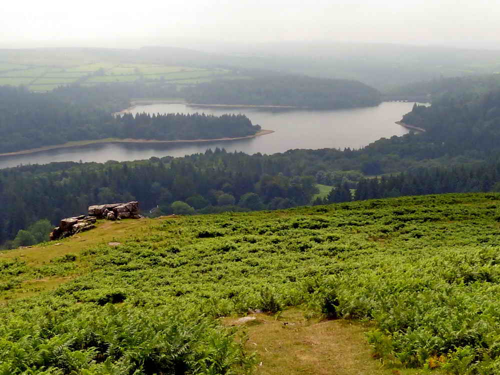
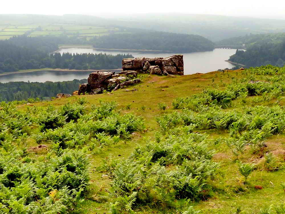
Looking down on Burrator Reservoir.
Looking down on Lowery Tor (SX 55630 69780)
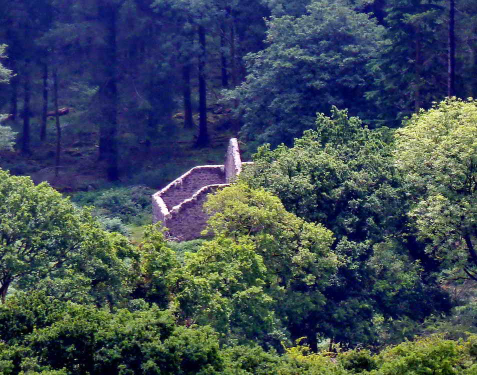
Lowery Barn.

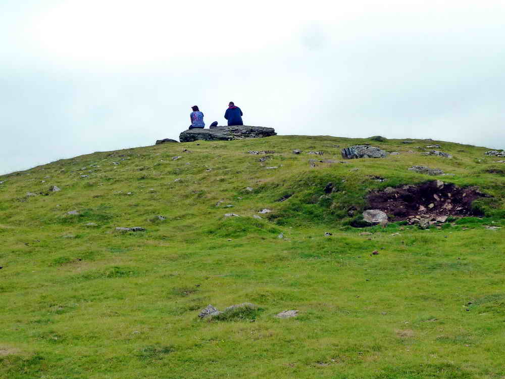
Lunch at Lowery Tor .....

Ditto.
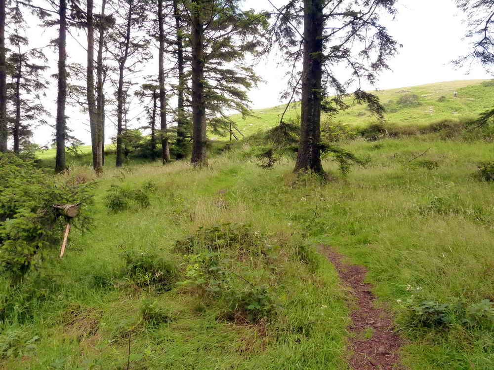
Looking back at the entrance into Peekhill Plantation .....

The path through the woods.
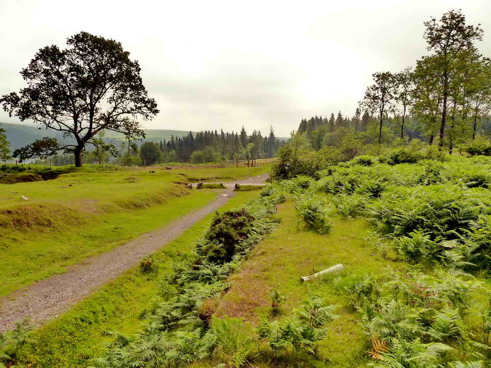
Lowery cross .....
The site of the crossing keeper's cottage (see the walk dated 5th July 2012).
MAP: Red = GPS satellite track of the walk.
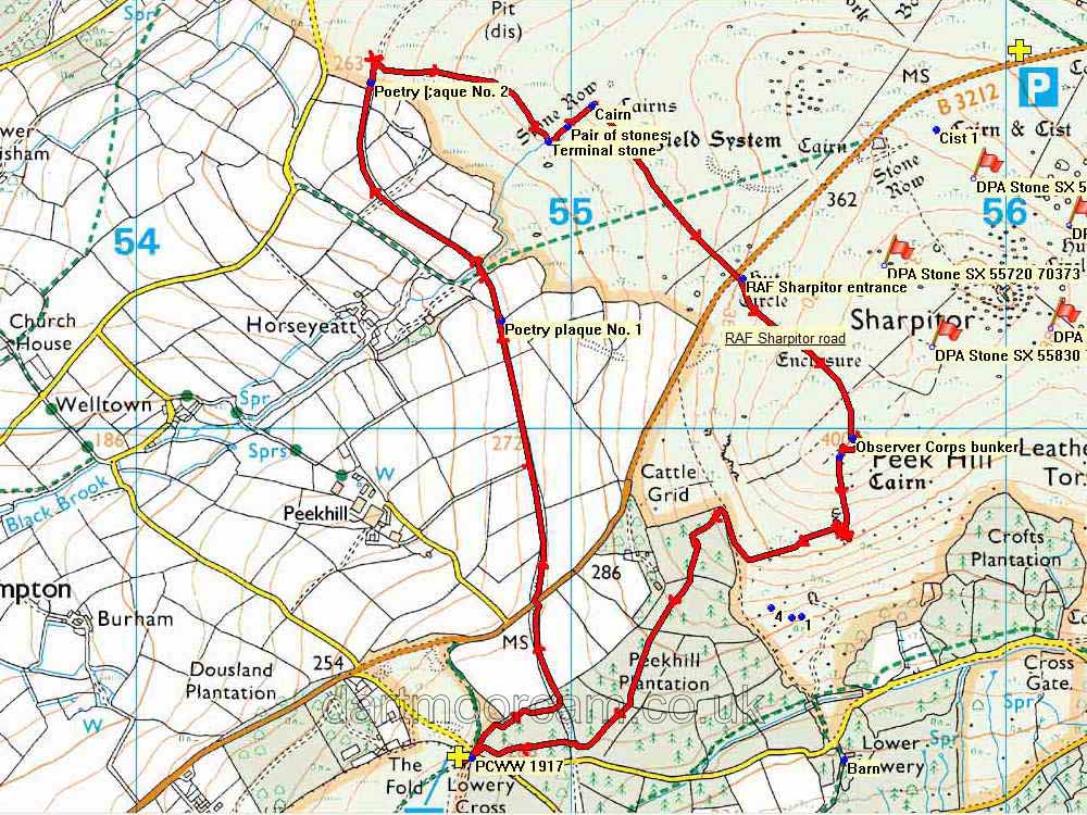
© Crown copyright and database rights 2012 Ordnance
Survey
Licence number 100047373
Also, Copyright © 2005, Memory-Map Europe, with permission.
The walk was easily accessed by turning off the B3212 road near Dousland with easy parking at the yellow cross symbol on the map near the cross-roads at Lowery Cross.
Statistics
Distance - 6.12 km / 3.60 miles.
All photographs on this web site are copyright ©2007-2016 Keith Ryan.
All rights reserved - please email for permissions
 Image © J Butler 1994.
Reproduced by kind permission (ref. 29 Sept. 2012)
Image © J Butler 1994.
Reproduced by kind permission (ref. 29 Sept. 2012)