![]()


This walk: 2013-8-7. Clouds, Row Tor, West Mill Tor, East Mill Tor, anti-tank weapon firing points, command point, target butts, explosion (revisited from another walk), Okehampton Show, triangulation pillar, mating wasps, Red-a-ven Brook.
Walk details below - Information about the route etc.
Link to Google Satellite view of the area - including the GPS track of the walk (compare with the Ordnance Survey map plus track below)
Other walks in the area: 10th Feb. 2010 (good for the firing points and the target railway) and 7 July 2010 - if you find any more, let me know!

"The Big Sky of Dartmoor" on a summer's day, with a mixture of simple cumulus clouds mixing into higher level cirro-cumulus and, above the horizon, some strato-cumulus.

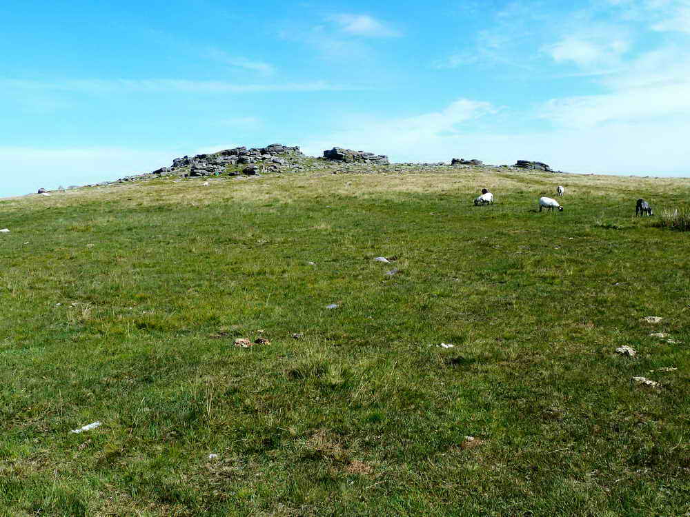
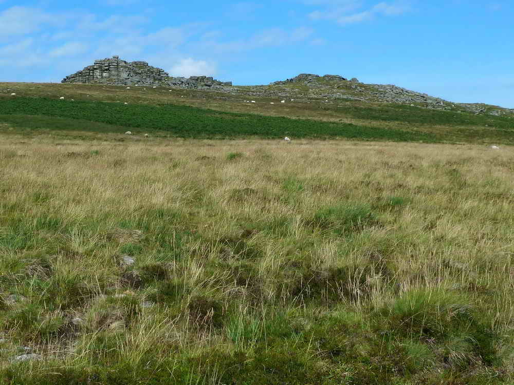
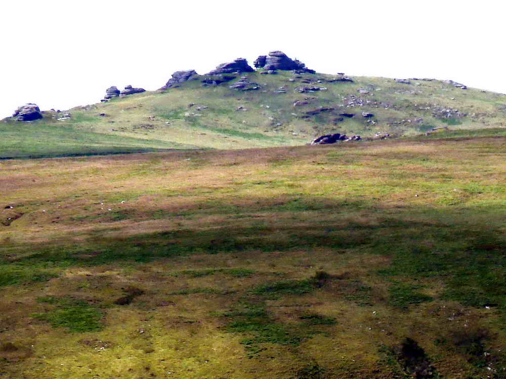
Row Tor, SX 593 916, elevation 468 metres (1535 feet) ..... with West Mill Tor behind (see below) .....

A more detailed view.

From Row Tor looking at West Mill Tor .....

As previous photograph, zoomed view.

East Mill Tor, SX 599 897, elevation 513 metres (1683 feet).

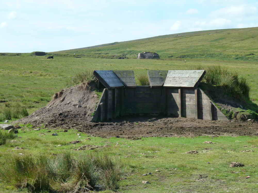
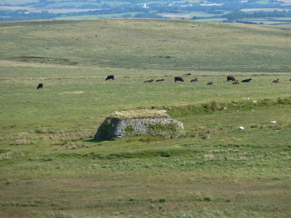
Looking forward to firing points for army Medium Anti-tank Weapons bays at SX 5934 9144, with West Mill Tor on the right .....

Two firing positions, with the command point between them and target butts in the distance .....
Okehampton Military Range was established in 1876. Three types of target built in 1901 - static, moving and disappearing. The camp became the HQ for the Army School of Gunnery in the summer months and thereby the county's most important practise camp.
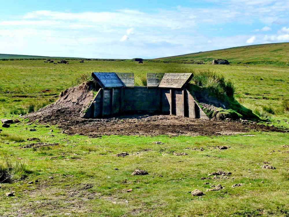
Firing point, detail .....
Closer view - the distant building, to the right, is the shed that housed the engine for the target railway.
Zoomed view back to Row Tor.

Command point with firing point beyond and West Mill Tor on the sky-line.

Just a photograph!
Looking back at the shed where the target railway engine was housed .....
An aside, a scene from this area during a walk on 2nd April 2009 (when the old 800 x 600 pixel photos used to fill the entire screen!) .....
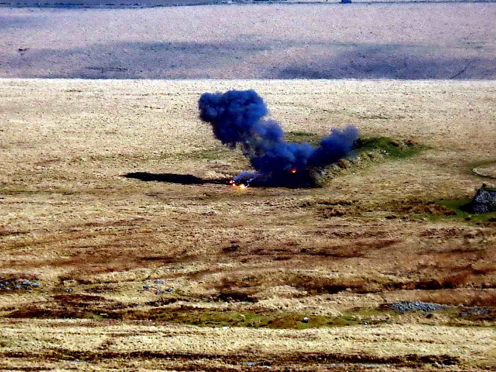
"As we passed this point we were hailed by lookouts for a demolition team that were about to blow-up some recovered unexploded munitions found during a moor clearance exercise ...."
"The bang was very impressive, this photo catching the end of the initial flash ....."
"As previous photo, as fast as the camera would recycle ....."
..... and again.

Field telephone tapping point.
West Mill Tor .....

Our intrepid explorer .....

Rocking, man!

Looking up to Yes Tor .....

Yes Tor, zoomed.

Yes Tor, SX 580 901, elevation 619 metres (2030 feet) .....
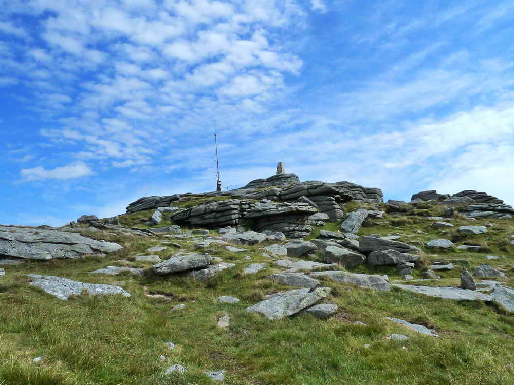
Yes Tor, with it's triangulation pillar and military flag staff .....
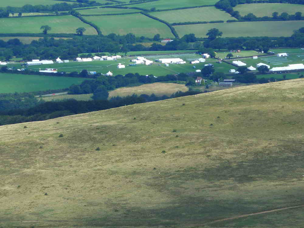
Zoomed view to the marquees of the Okehampton Show.
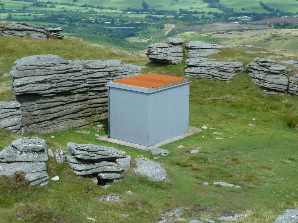
Range-lookout's stable for housing their pony during inclement weather, the lookout warns of livestock and members of the public who may enter the range during red flag i.e. firing sessions.
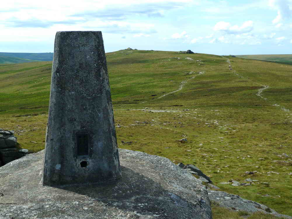
Yes Tor triangulation pillar with High Willhays in the distance, at SX 580 894, elevation 621 metres (2037 feet).
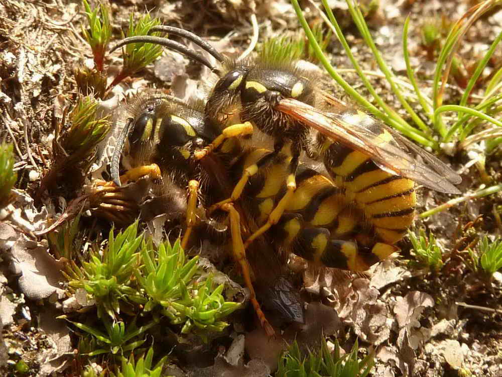
Wasps mating on Yes Tor ..... there were quite a number of wasps on the summit of the tor, so much so that we retreated to a slightly lower location. It appears that there was perhaps a mating behaviour in play, called hill-topping ..... the following photographs are of the same pair mating .....
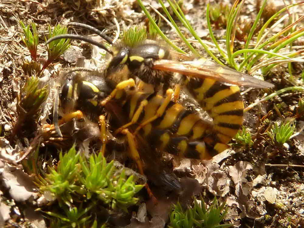
As previous photograph .....

As previous photograph.

Walkers passing from Yes Tor (we met them) going over High Willhays.
Zoomed view to Great Links Tor, SX 551 867, elevation 586 metres (1922 feet), 4.52 km (2.81 miles) distant. It's triangulation pillar is clearly visible; the southern section of Blackator Copse is in direct line with the tor, seen from this point on Yes Tor.
Red-a-ven Brook.
![]()
We started with the sky and now we are finishing, with the sky, blue with summer clouds ..... mostly small, low-level, summer cumulus clouds. This was taken after Red-a-ven Brook, looking north-west, in the general direction of Okehampton, with Row Tor over to the right. Click the image to see a larger version.
MAP: Red = GPS satellite track of the walk.

© Crown copyright and database rights 2012 Ordnance Survey
Licence number 100047373
Also, Copyright © 2005, Memory-Map Europe, with permission.
This walk was accessed by driving from Tavistock into Okehampton, turnng right at the traffic lights, following the road up the hill and over the A38 dual carriageway, passing the military camp on the right and driving up onto the moor to a large parking area on the right - marked by the yellow cross.
Statistics
Distance - 7.61 km / 4.73 miles.
All photographs on this web site are copyright ©2007-2016 Keith Ryan.
All rights reserved - please email
for permissions