![]()


This walk: 2013-7-31. A damp, misty walk: saw mill leat, hut circle, ponies, River Erme, Downing's House, dam, Pile's Copse.
Walk details below - Information about the route etc.
Link to Google Satellite view of the area - including the recorded GPS track of the walk (compare with the Ordnance Survey map plus track below)
Bing and Google maps side by side
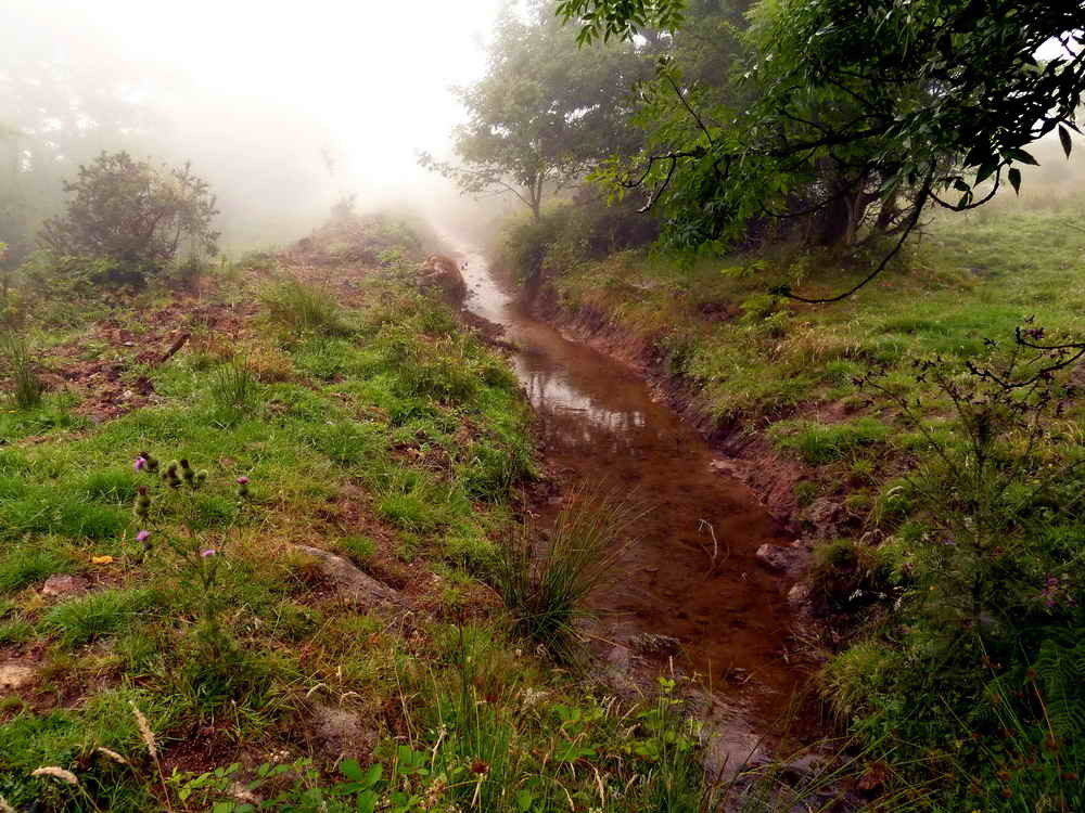
Leat at the uphill edge of the car park at New Waste: this appears on the map to derive from Redaven Lake and runs along the edge of Grange Plantation through Brook Barn and New Barn to the Saw Mill near Blatchford and the Deer Park on the edge of Cornwood.
 hut
hut
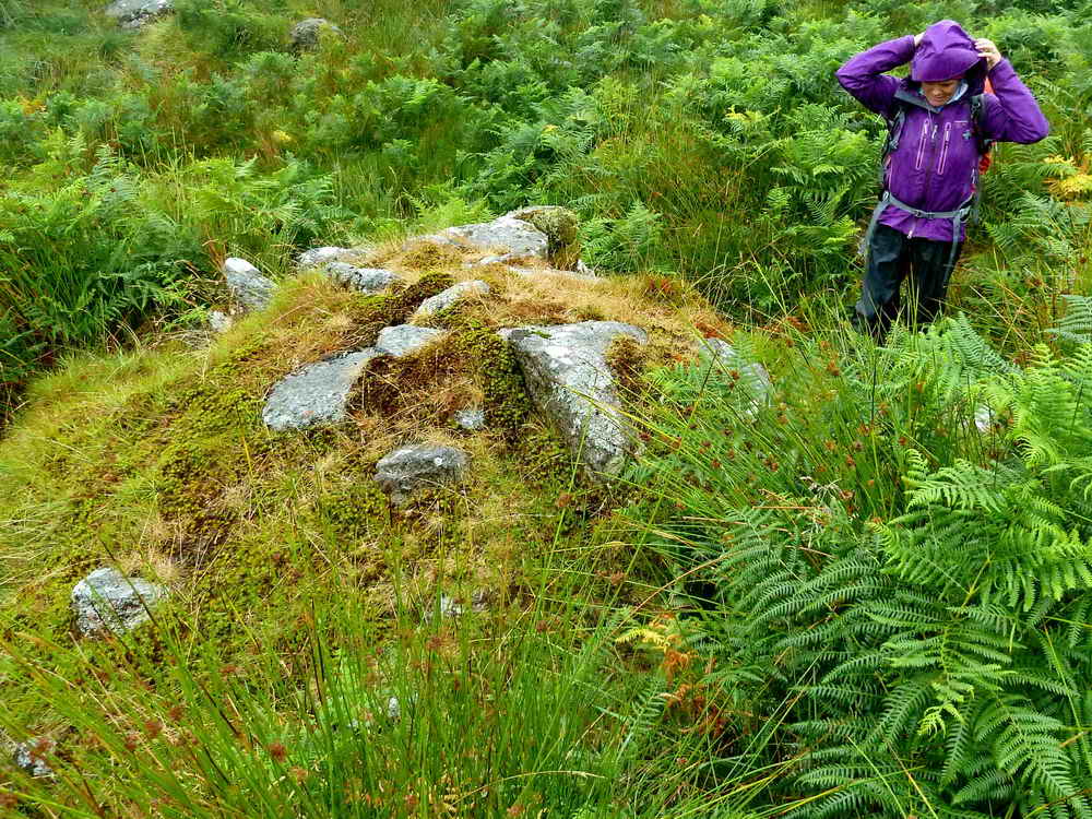
Hut circle photographed from SX 63698 61180 ..... probably "15" on the diagram below .....
|
Image © J Butler 1994. Reproduced by kind permission (ref. 29 Sept. 2012). |
This area has one of the largest settlements in the Erme valley, being about 1 km in extent, and described in detail by J. Butler (1993), Dartmoor Atlas of Antiquities IV, The South East. 54.4 Stalldown South-east 1 (fig. 54.3, pages 41-42).

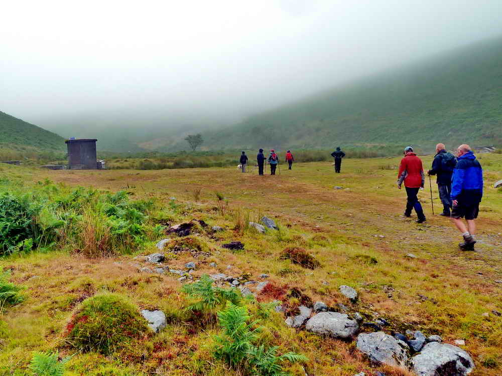
Ponies taking shelter where they can find it from some fairly unpleasant weather.
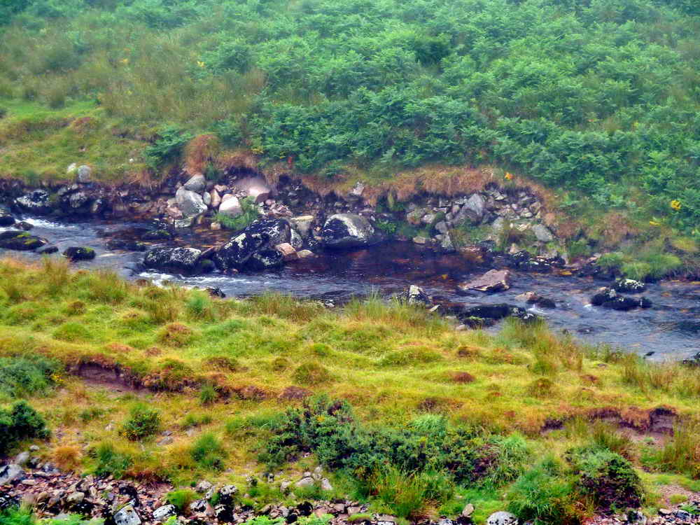
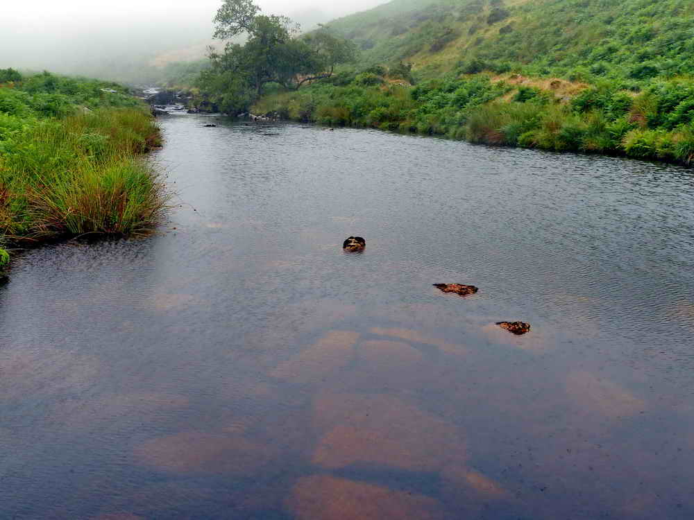
A view of the River Erme, after the mist cleared temporarily.
Downing's House, SX 63940 62928: this is an old tinner's hut, from the day's of tin streaming, situated beside Downing's Brook. Eric Hemery (1983), High Dartmoor, Robert Hale, London, page 251.
It was also once known as Smuggler's Hole and was one of the places on Dartmoor where, by virtue of their remoteness, were used to store illicit or smuggled alcohol .....

There is not a lot of room in there .....

As someone emerges!

The general scene at Downing's House .....

Left in peace again.
Approaching the dam on the River Erme, SX 6398 6315 .....

We have to have a look .....

Looking back .....
Looking up-river .....
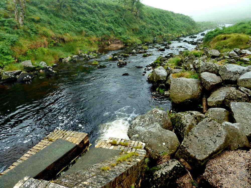
Looking down-river .....
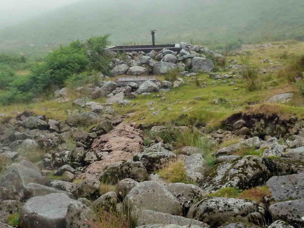
An item of interest below the dam .....

We must have a look!

A reservoir tank with a valve that must go down to a pipe ..... the pipe presumably goes around the hill to the water treatment works that then supplies Cornwood and surrounding hamlets. A contact in SWW has given me this sentence: � Water is abstracted from the river at the intake we saw at the end of the track. The water is transferred by pipe to a Water Treatment Works near Totnes which supplies South Devon in conjunction with other sources in the area (eg Avon, Venford, River Dart)�.
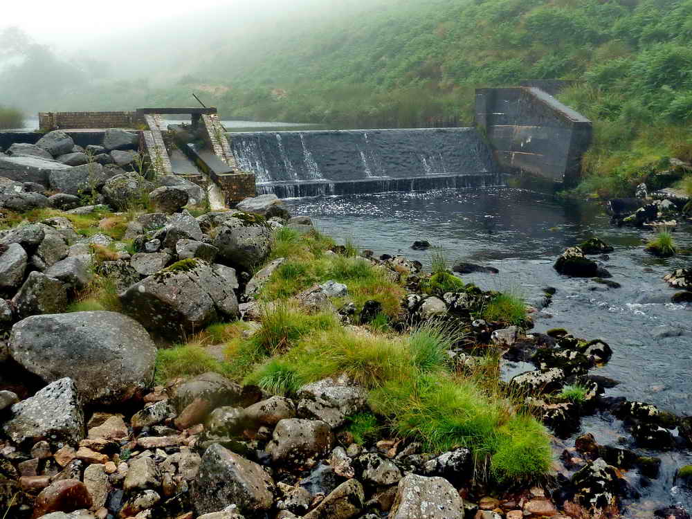
Looking up-river from below the dam.

A view of the trees across the valley in Piles Copse ..... still quite misty.
MAP: Red = GPS satellite track of the walk.

© Crown copyright and database rights 2012 Ordnance
Survey
Licence number 100047373
Also, Copyright © 2005, Memory-Map Europe, with permission.
This walk was reached via Cornwood, heading north-east from the village square, taking the third road on the left, at Torr. Ignore a small green lane shortly following the first road on the left. Then immediately right, finally bearing left to the car park at the yellow cross symbol on the map above.
Statistics
Distance - 8.13 km / 5.05 miles.
All photographs on this web site are copyright ©2007-2016 Keith Ryan.
All rights reserved - please email for permissions
