![]()


This walk: 2013-5-29. Teign Estuary, Emsworthy, tramway, gorse blossom, Hamel Down, Chinkwell Tor, Honeybag Tor, Hound Tor, Holwell Tor, Saddle Tor, Haytor, leat, Emsworthy Rocks, bluebells, slotted gate posts, alpine cow bell, barn owl box, longhouse, Becka Brook Bog, Emsworthy Mire, hut circle, Baggator and Ilsington boundary stones, Common cotton grass, Fitches Holt, Whortleberry Rock, North Hessary Tor, Greator Rocks, Manaton Church, curlew, cuckoo, Templer granite tramway points, unfinished apple crushers.
Walk details below - Information about the route etc.
Link to Google Satellite view of the area - the car park is in the middle of the bottom edge of the image. Emsworthy Farm is a little to the "8 o'clock" position from the centre of the image.
This walk was more or less a repeat of the walk done on 4th May 2011.
This walk was more or less repeated the following day, 30th May 2013, with e.g. Fitches Holt being definitely identified.

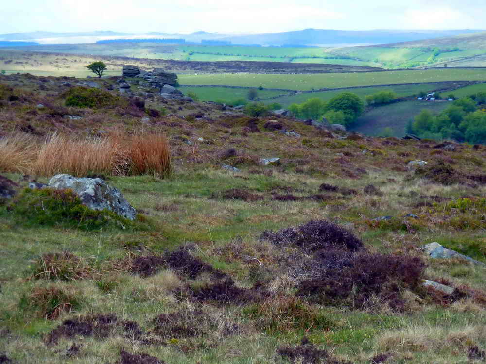
View towards Teignmouth and the Teign Estuary.
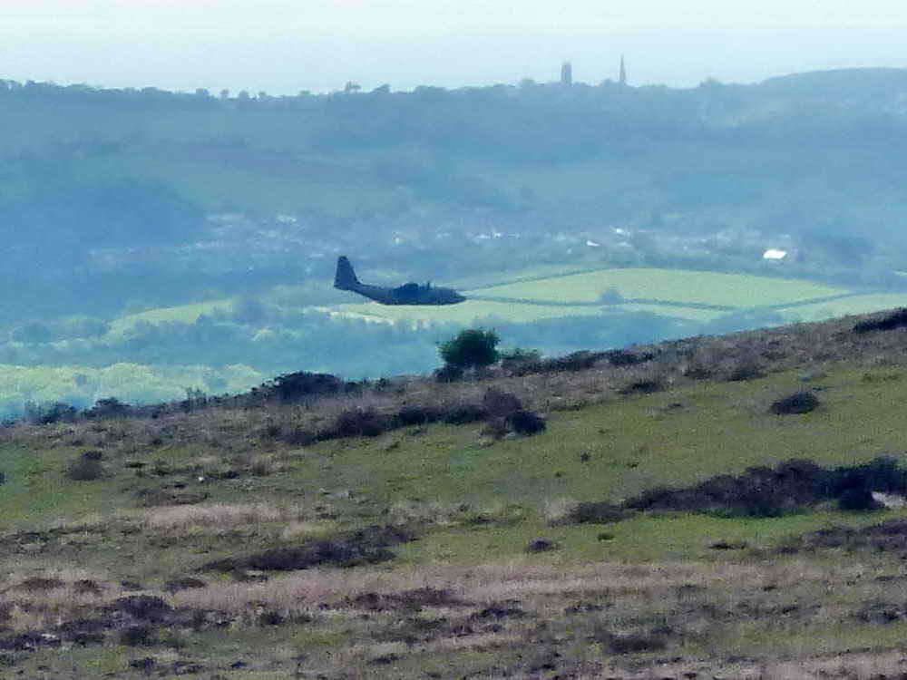
A low-flying RAF Hercules aircraft about to disappear behind a hill - this photograph was more successful than those taken of the curlew and the cuckoo!

Remains of a tramway alongside the road by the car park that took tin from near-by mine Emsworthy Tin Mine. The mine had a steam engine, similar to Wheal Betsy .....

More tramway (not the Templar tramway that was built for extracting granite) .....

More tramway.

Emsworthy Farm & Becka Brook Bog, some of the area is now a reserve managed by Devon Wildlife Trust - Click on the photo to see a larger version

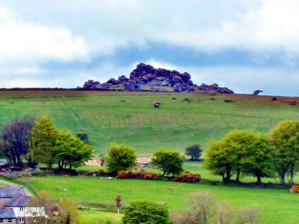
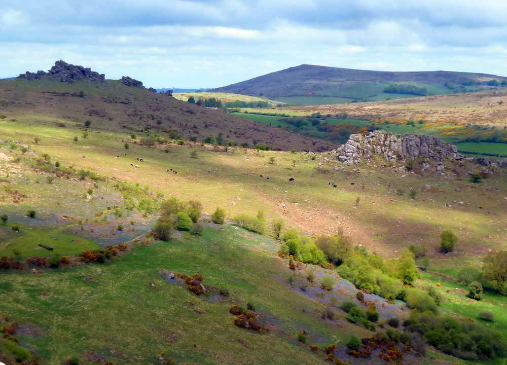
View of Saddle Tor with Haytor behind.

From this angle, Haytor is more towards the left.

Gorse blossom in abundance, unlike most of the near-by bushes.

Hamel Down Ridge in the distance, with Chinkwell Tor (right) and Honeybag Tor hiding behind it (far right) .....
Hound Tor ......

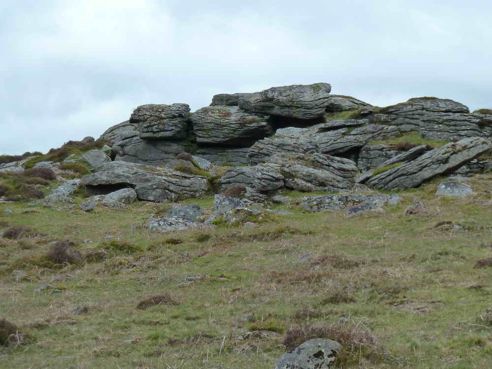
Holwell Tor.

Emsworthy Farm leat.
Emsworthy Farm, now managed by Devon Wildlife Trust .....
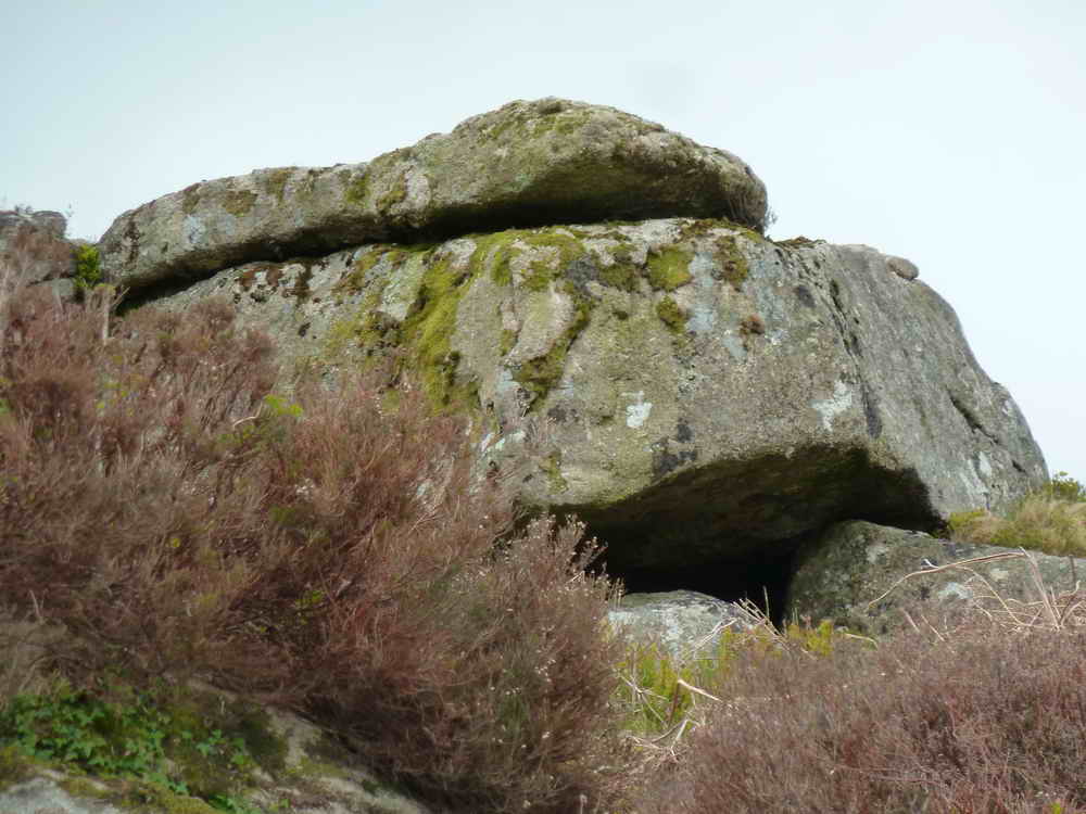
View to Emsworthy Rocks .....
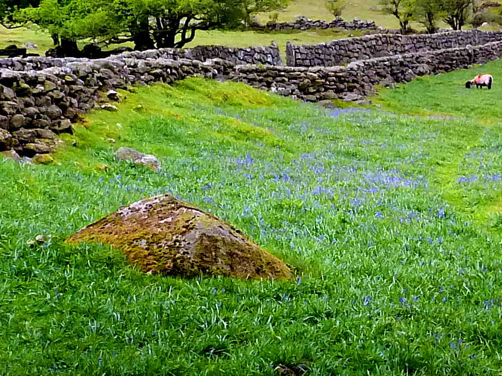
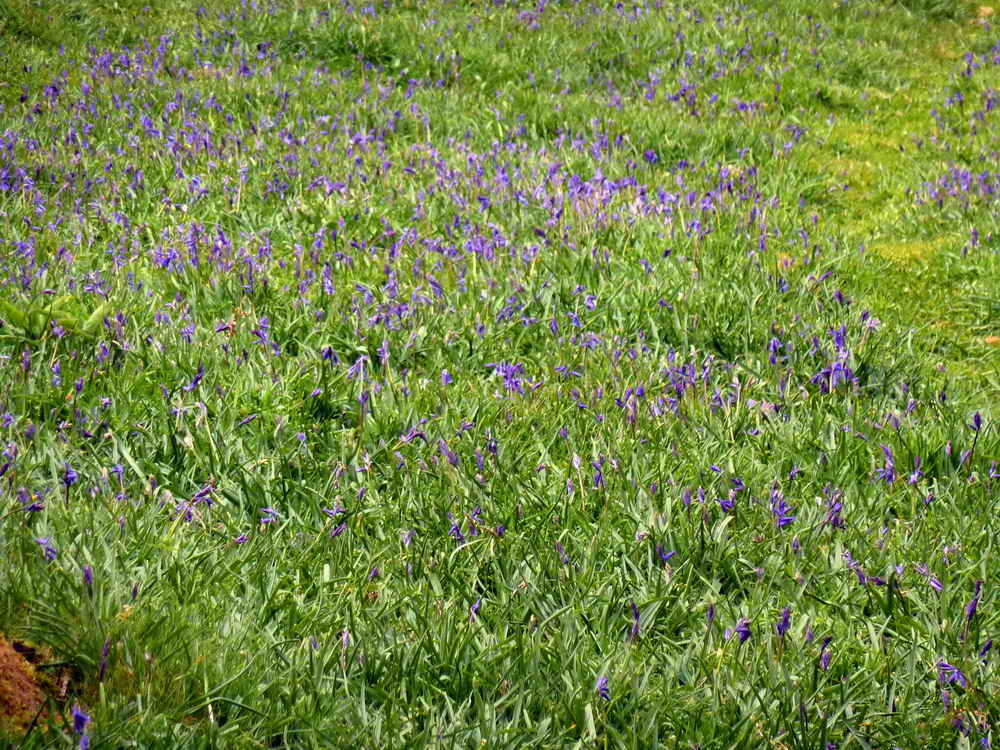
Looking back along the approach, Emsworthy Lane, at bluebells that are normally flowering by this time of the year .....
Zoomed view.

Slotted gatepost with L-slots .....

The other gate post.

Old sycamore tree.

It was odd to hear the alpine sound of a cow bell on Dartmoor! It is so common in the Austrian and no doubt other Alps.

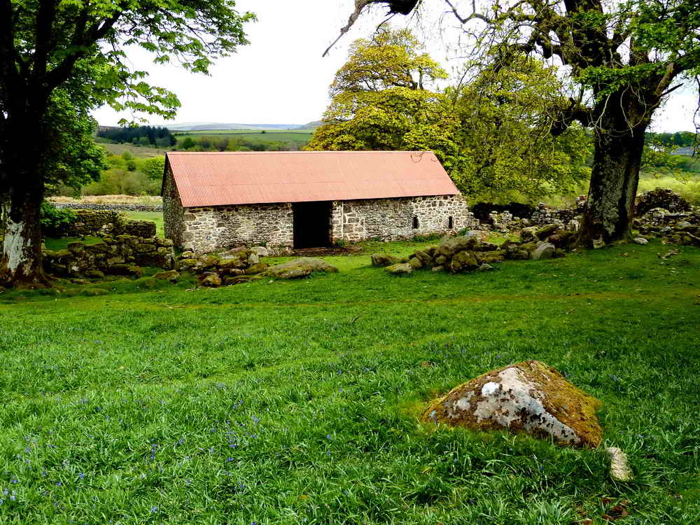
Interior of the barn, complete with a barn owl nesting box .....

Closer view.
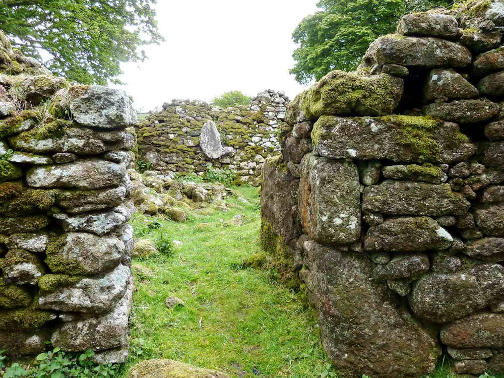
Looking through to the ancient, and altered, longhouse .....

Emsworthy Farm, first recorded in 1379 as Aylemesworthy and recorded in 1560 as Omsworthye, was believed to be last lived in during the 1870s; it formed part of Bagtor Manor (source: Hemery, page 733). Click the image to see a larger version.

Looking up at Emsworthy Rocks.

Looking down over Becka Brook Bog / Emsworthy Mire.

Approaching the entrance to a small Bronze Age enclosure at SX 74708 77038 .....

One of the entrance posts bears a "B" as a boundary marker for Bagtor Manor .....

The reverse side bears a "crossed I" for Ilsington Manor.
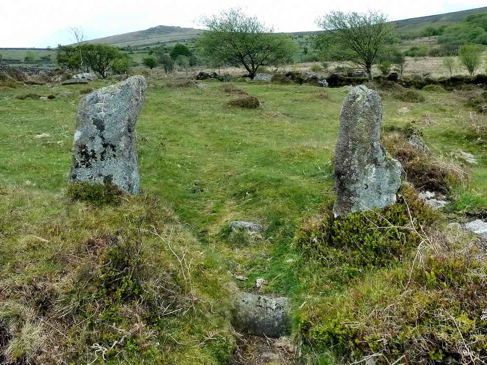
Looking back at the entrance posts - these are referred to as the "Two Stone Posts" boundary marker in old manorial records. Source: Dave Brewer (2002) Dartmoor Boundary Markers, Halsgrove, p. 98.

Enlargement of the photograph suggests that there are several seed heads and that this is therefore Common cotton grass, Eriophorum angustifolium, rather than Hare's tail cotton grass, Eriophorum vaginatum, that has a single seed head.

View to the area believed to be Fitches Holt. According to Hemery (page 735), this is the site where polecats once bred ("fitch" being an old name for polecat) ...... "A smaller detached pile below the main summit", talking of the south end of Emsworthy Rocks. Another pile nearby is known as Whortleberry Rock.
A candidate for Fitches Rock .....
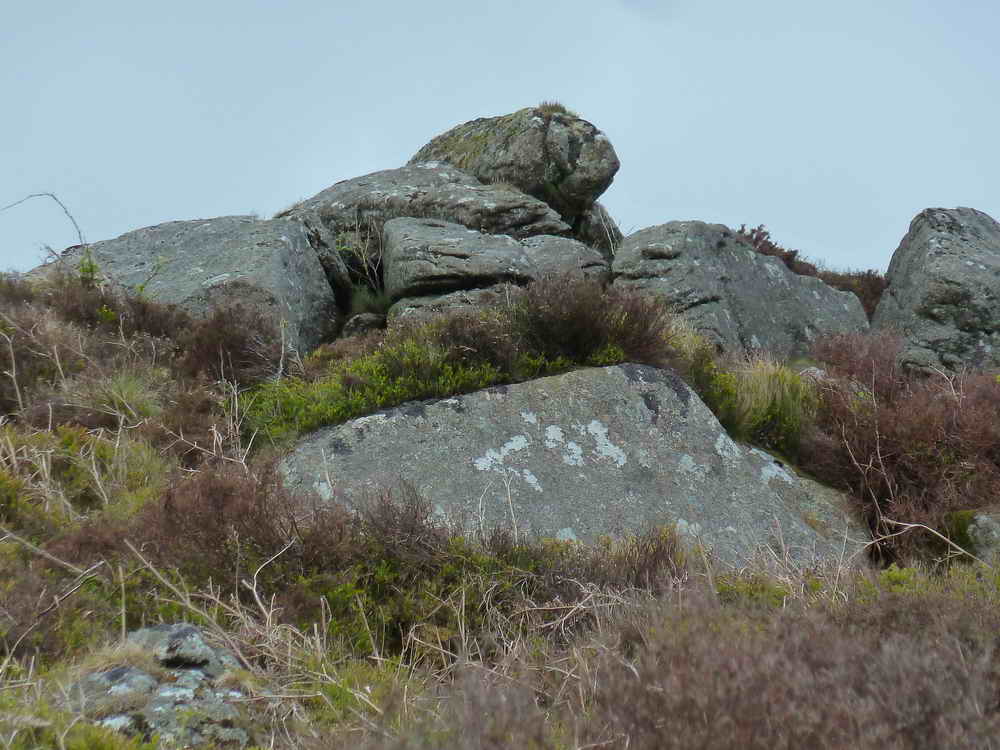
Another candidate for Fitches Rock .....

Another candidate for Fitches Rock ..... or perhaps Whortleberry rock ......

As previous photos.

View to Heytor.

Zoomed view.

Looking at bluebells across the valley.
Why did I take this? Interesting layering in the granite.

North Hessary Tor.

Unusual view of Haytor Rocks, with High Man (left) and Low Man (right)

Holwell Tor conquered, SX 7512 7761, elevation 402 metres (1318 feet).
Hound Tor (left) and Greator Rocks.

St. Winifred's Church at Manaton.
Somewhere over there, is a curlew, hiding! It transpired that there were two, neither of which appeared in photographs. I mentioned my nights out on the Hayle Estuary as a teenager, tape-recording waders and on adjacent fields that belonged to our family. After the Hayle bypass went through and carved up the farm, some of the land became a bird reserve: RSPB site guide (incl. Ryan's Field).
Site of points control on the Templer granite tramway, at SX 75333 76877

Looking down into the disused Emsworthy East Quarry aka Harrowbeer Quarry.
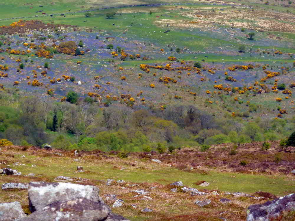
Another zoomed view across the Becka Brook valley at the Holwell bluebells.

There is a cuckoo in that tree: it flew in, I took the photograph, and then it flew out, calling. They said it was in the right side.

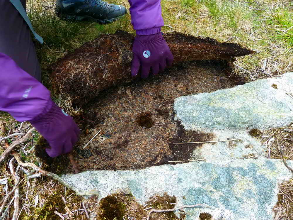
Unfinished apple press, or a side running wheel for crushing the apples, at SX 74913 76436 .....
A second press, a few yards away, found by the Tess, the Labrador .....

Closer view.

Rusty-backed sheep, a new Dartmoor breed?

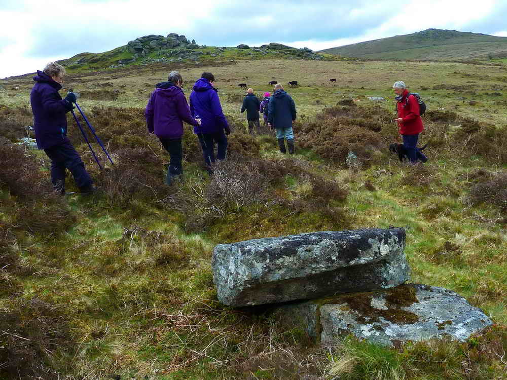
A view of part of Saddle Tor.
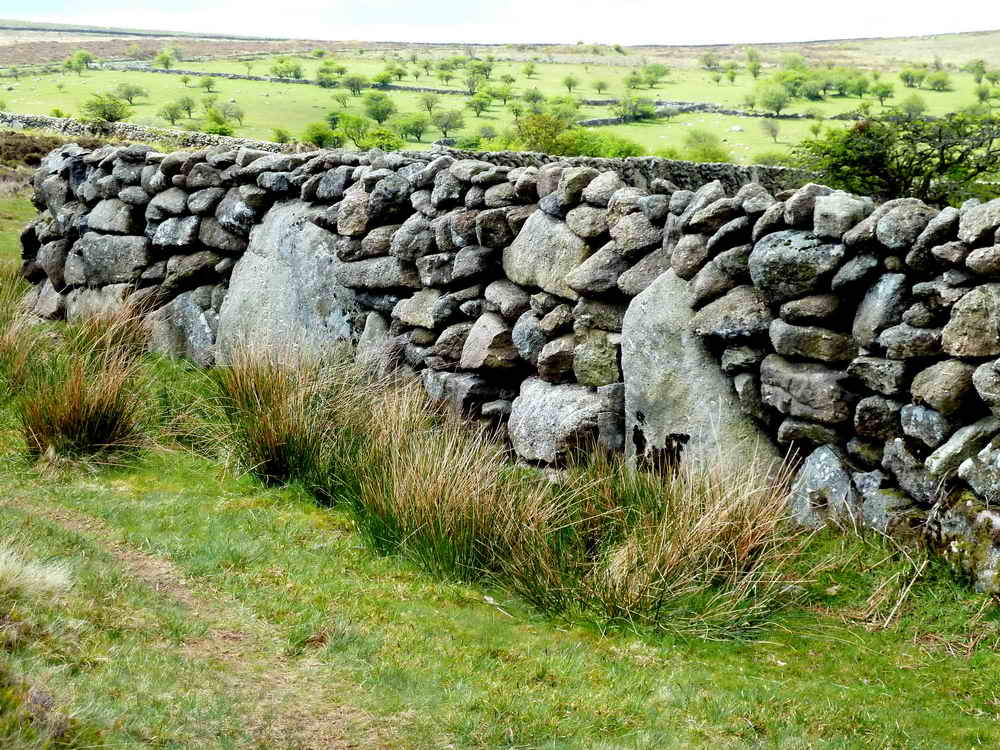
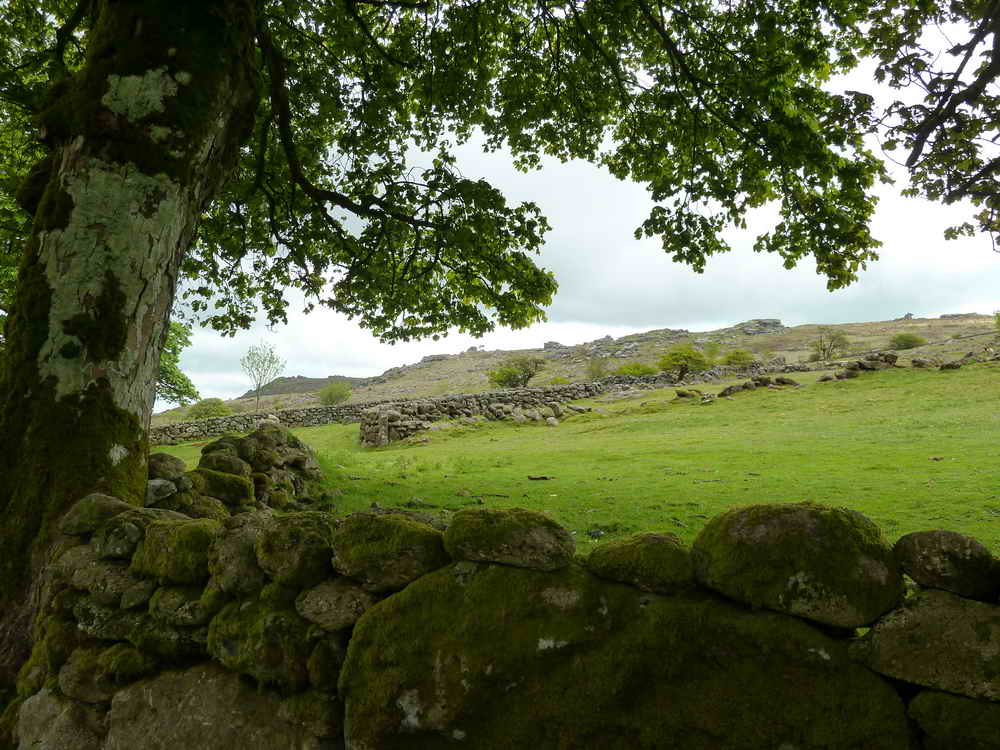
An example of the dry stone wall builder's art .....

"Ere, boy, you put that one in over there!"
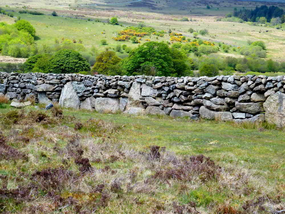
Dry stone wall.
Red = GPS satellite track of the walk. The track below is a close approximation to where the walk went today - unfortunately I deleted the day's track before I saved it!

© Crown copyright and database rights 2012 Ordnance
Survey
Licence number 100047373
Also, Copyright © 2005, Memory-Map Europe, with permission.
This walk was approached via the A38 from Plymouth, Newton Abbot/Widecombe turn-off and following the road for Widecombe to Hemsworthy Gate where we turned right, towards Bovey Tracy, and stopping at the first car park on the left, the P symbol with a yellow cross on the map.
Statistics
Distance - 4.12 km / 2.56 miles.
All photographs on this web site are copyright ©2007-2016 Keith Ryan.
All rights reserved - please email for permissions