![]()


This walk: 2013-10-30. Houndtor, local hunt, deserted medieval village, drying barns, kilns, ovens, longhouses, slotted gate posts, clapper bridge, Becka Brook, Ilsington/Manaton boundary stone, Leighon, pumpkins, camping barn.
Walk details below - Information about the route etc.
Link to Google Satellite view of the area - including the GPS track of the walk (compare with the Ordnance Survey map plus track below)
Bing and Google maps side by side - but no GPS track.
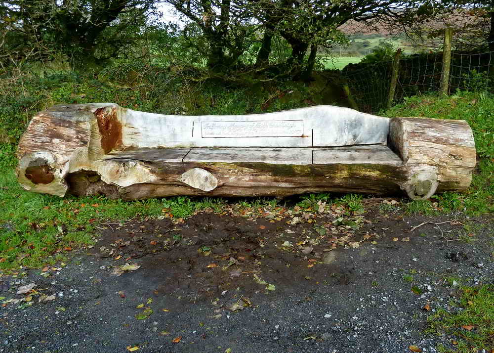
Log seat (made by chainsaw) in the car park .....
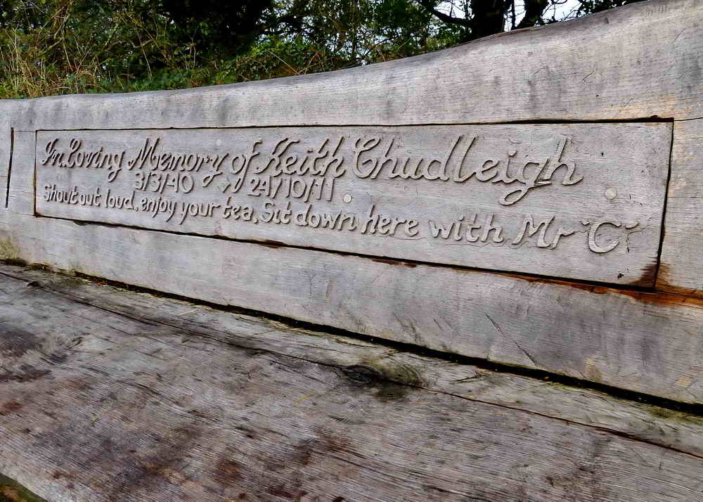
Inscription in memory of Keith Chudleigh.
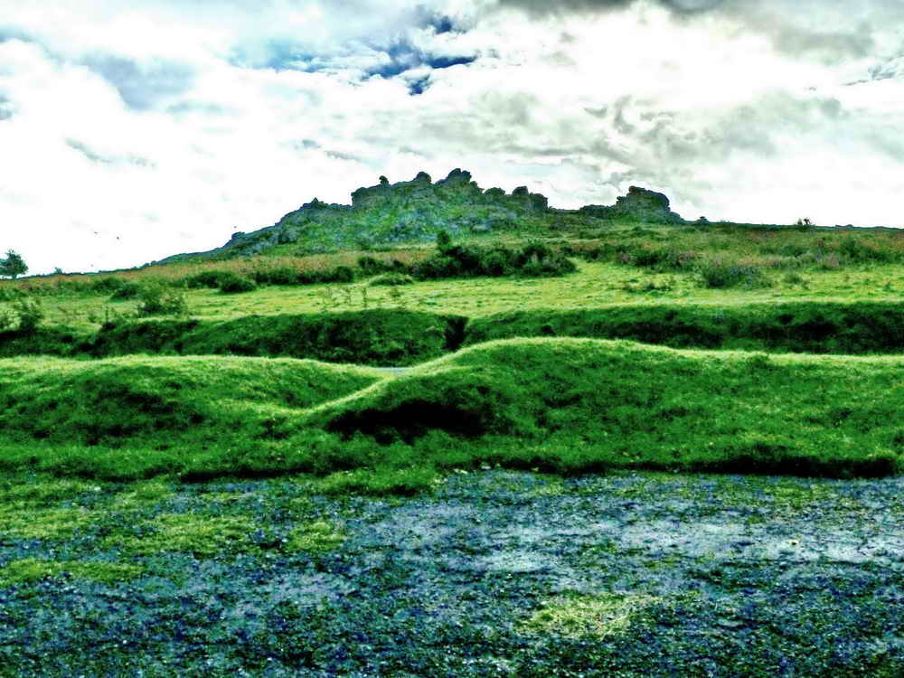
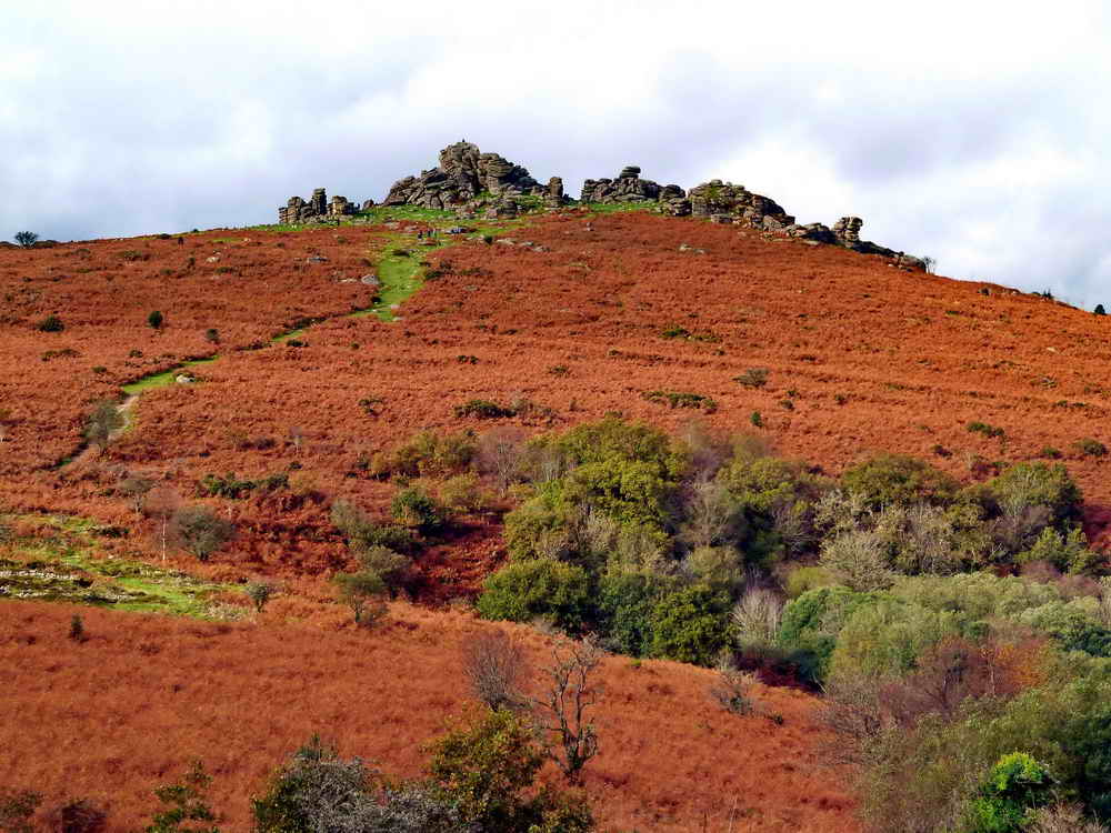
View of Houndtor from the car park, SX 742 789,elevation 414 metres ( 1358 feet).

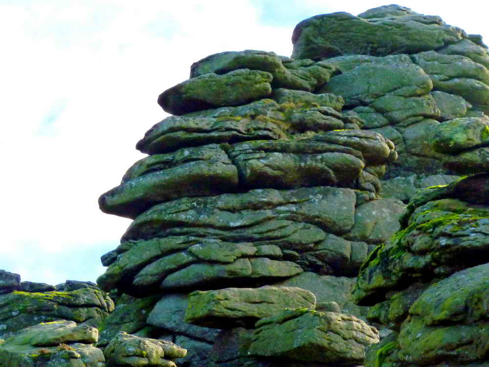
Rock pile on Houndtor, showing the vertical "joints" and horizontal bedding planes ......
As previous photograph .....

Showing the separation of the rock piles, this is known as an "avenue tor" (like Bellever Tor, Great Staple etc) .....

More joints and planes.

As previous photograph .....
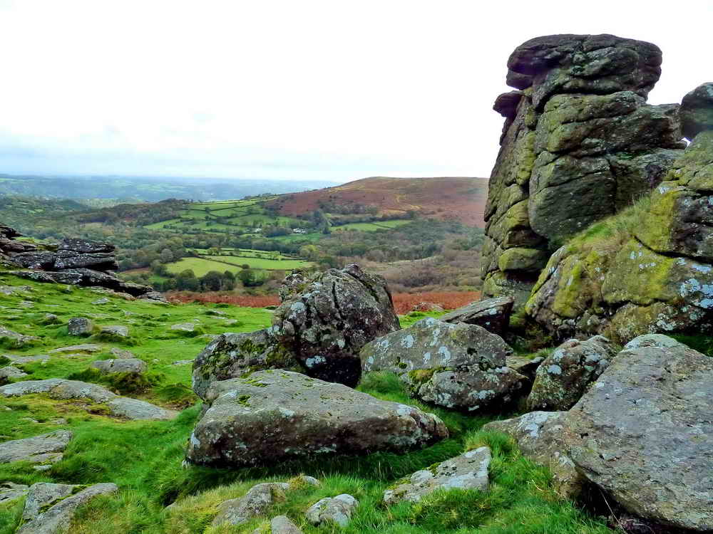
The view on reaching the top .....

Hugh gets a better view .....

At the top.

The local hunt, coming our way.

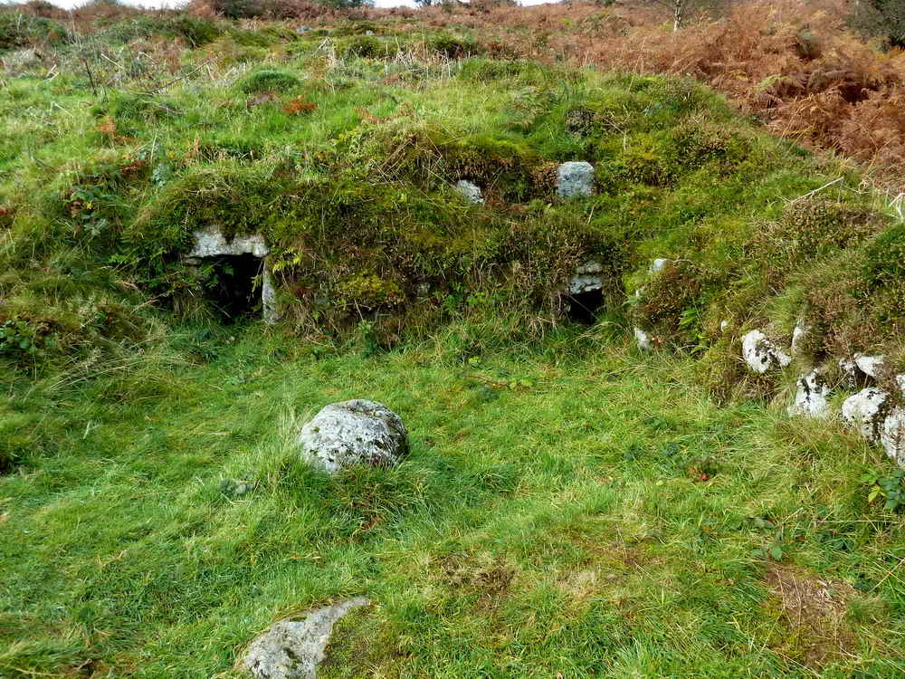
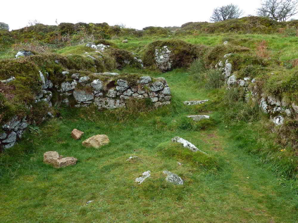
The first building encountered on reaching Houndtor deserted medieval village. This being a drying barn for harvested cereals .....
Another view.
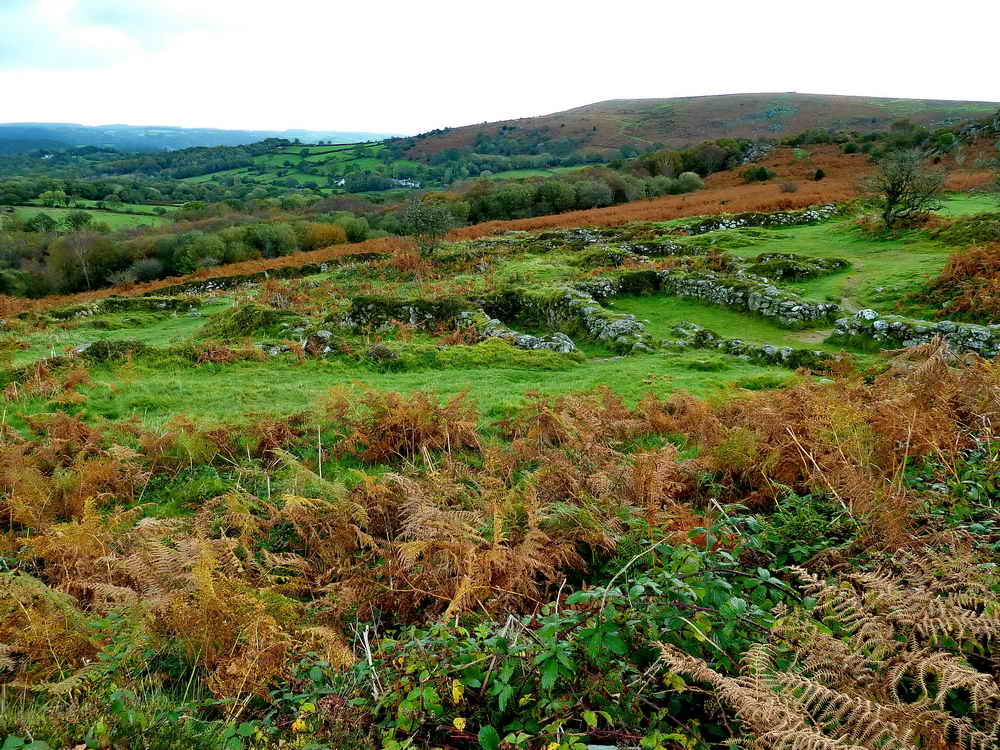
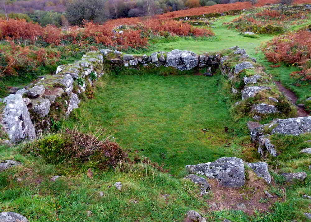
A general view across the old settlement, established in the 1200s and abandoned 150-200 years later. The settlement is described in J. Butler (1991), Dartmoor Atlas of Antiquities I, The East. 8.7 Houndtor medieval village, pages 54-56. The village was probably referred to in the Domesday Book (1086) when it belonged to Tavistock Abbey.

Looking along longhouse 7 on the map in the Dartmoor National Park booklet "Houndtor - Deserted Medieval Settlement" .....

Looking across the longhouse .....
Kiln (left) and oven (right) in drying barn 2. The kiln heated the raised platform at this end of the barn while the oven was a supplementary heating device.....
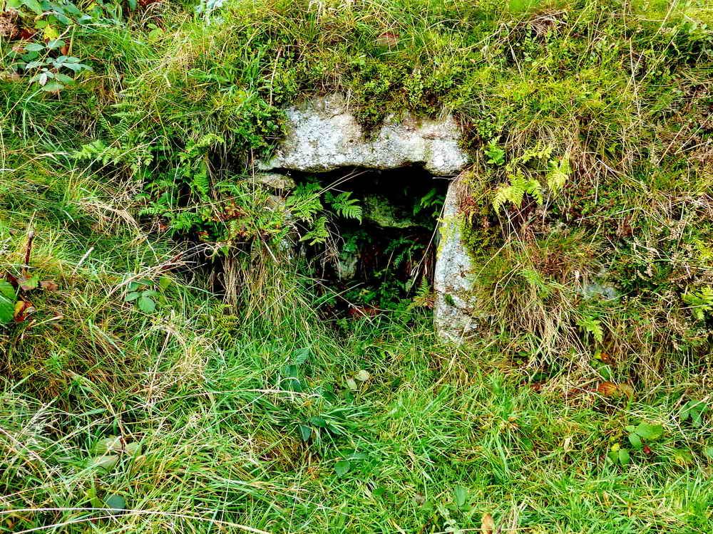
Kiln entrance.
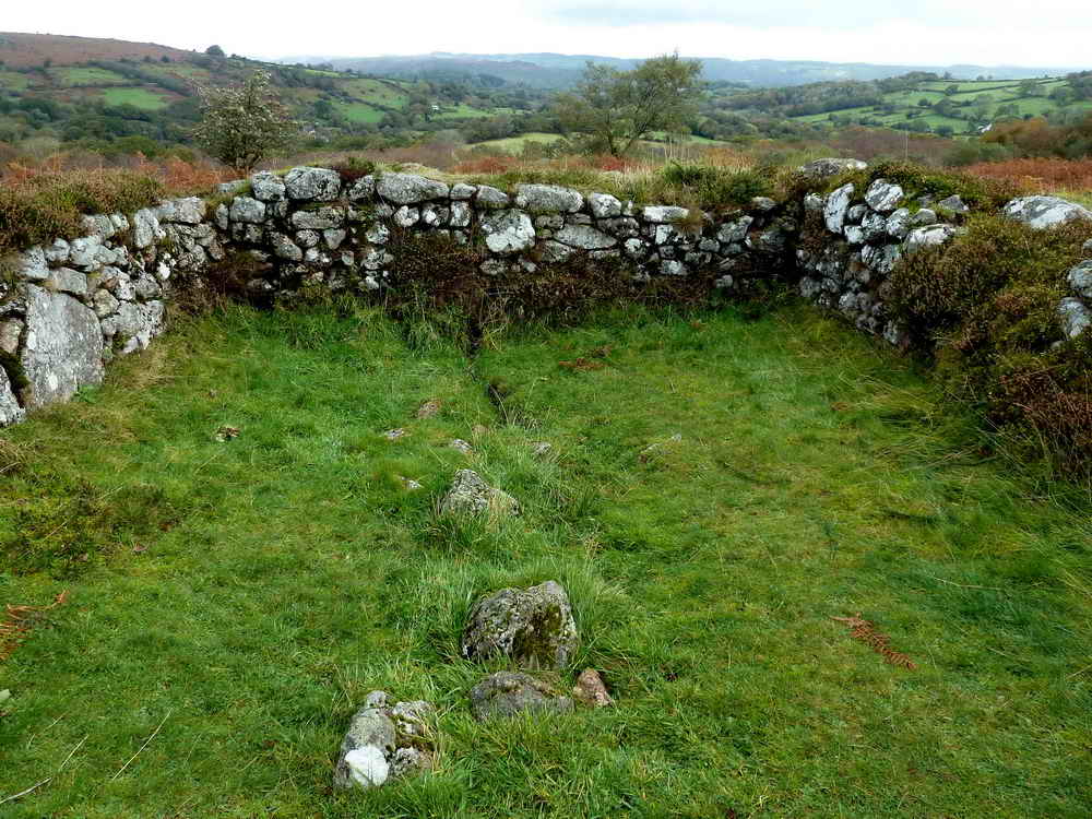
Looking downhil in the shippon of longhouse 7, showing the drain .....
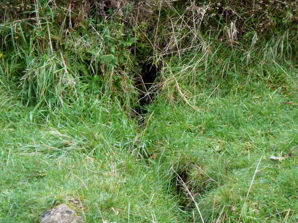
Closer view of the drain ......
Looking uphill, showing an annex beyond and on the left.
|
|
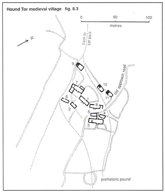
Fig. 8.3 showing Hound Tor medieval village from J. Butler Dartmoor Atlas of Antiquities I (1991) 8.7 (page 55). The first drying barn pictured above is building 9 in this map; the longhouse is building 7.
Looking back at Houndtor.

Autumn trees and sky.
 |
 |
A pair of slotted gateposts passed just before reaching Becka brook. Photos: Liz Miall.

Clapper bridge at SX 75222 78752, on a bridle path, crossing Becka Brook .....

Another view .....

As previous photograph, looking back.
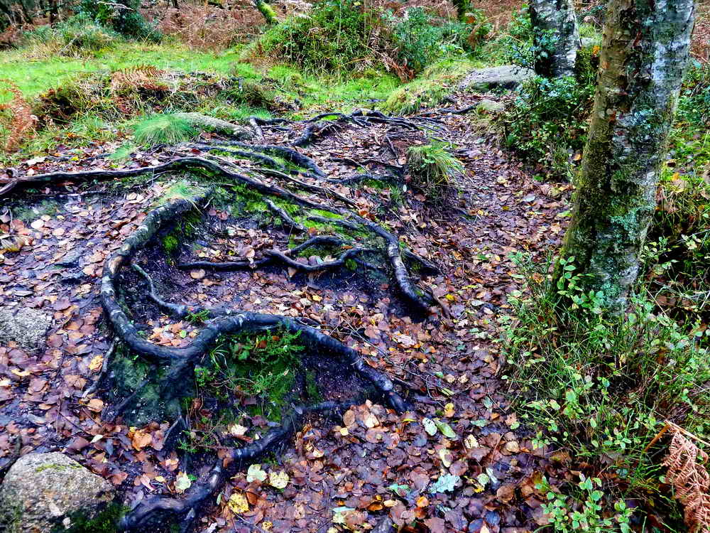
Tree roots exposed beside the path.

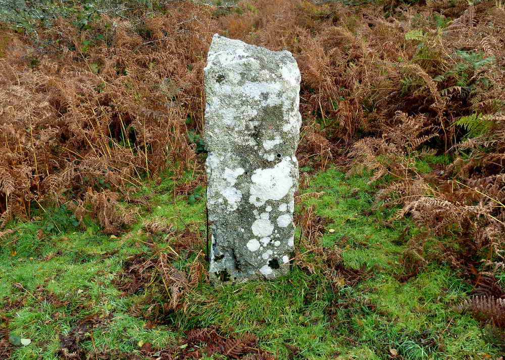
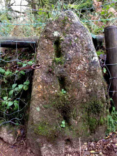
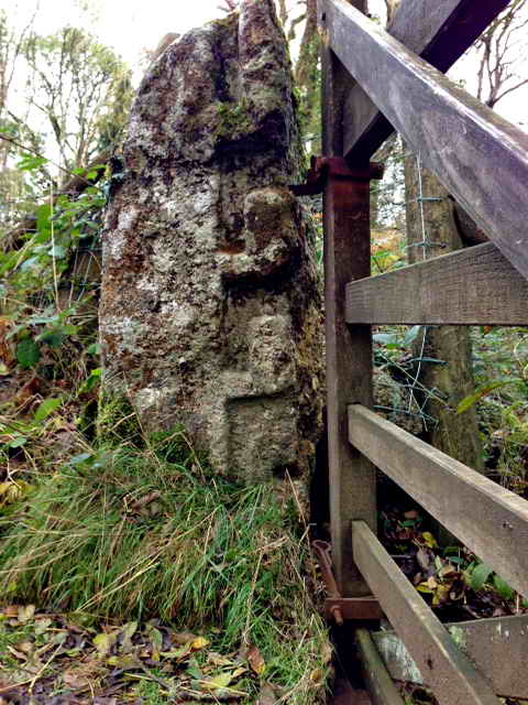
Un-named set bound-stone, at SX 75445 78682, on the Ilsington/Manaton parish boundary. It has feather and tare marks so is post-1800 - several spare stones were cut in 1835. It lies between named stones the Hole Stone (SX 7565 7850) and the Horseshoe Stone (SX 7525 7815). It is, in fact, a spare stone that did not appear on 1835 or 1853 surveys or the original list of boundstones of 1879, although it is pencilled in on this list as "Stone marked "IM". Source: Dave Brewer (2002) Dartmoor Boundary Markers, Halsgrove, p. 95.
There is, in the central area of this photograph, a crossed I denoting Ilsington. A 'crossed I' bears three cross strokes with one being halfway between the top and bottom of the letter.

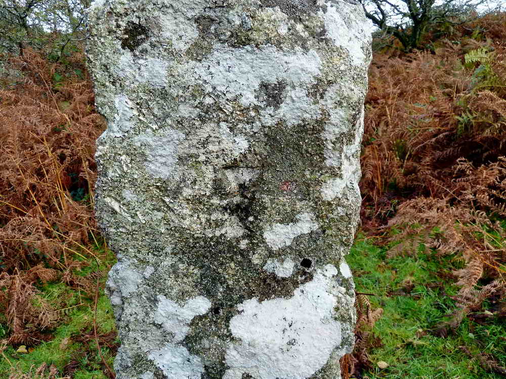
The other side, bearing the letter "M" .....

Denoting Manaton parish.
Old and new trees.

The rendered tower of St. Winifred's Church at Manaton.

A multi-stemmed sycamore tree on the hedge beside the path, covering a large stone.

Looking back at Houndtor.

As previous photograph.

"Look, Liz, a slotted gatepost!" - made of wood.

Fencepost being enveloped by a tree.
You tell me!

Leighon ......

It's .....
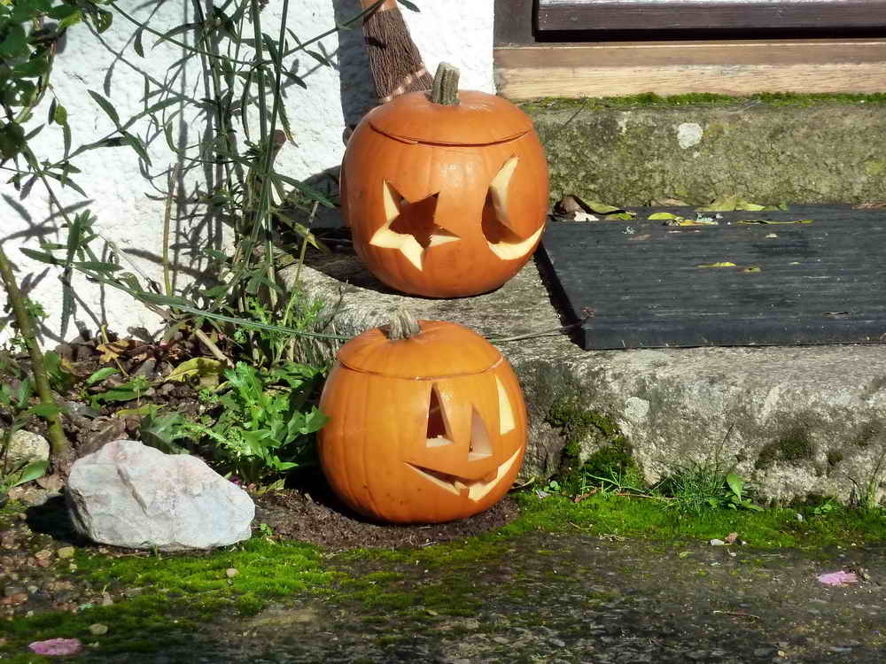
Pumpkin time!
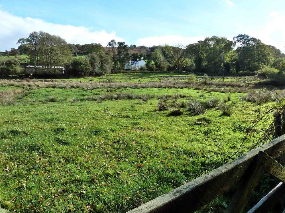
Looking back at Leighon.
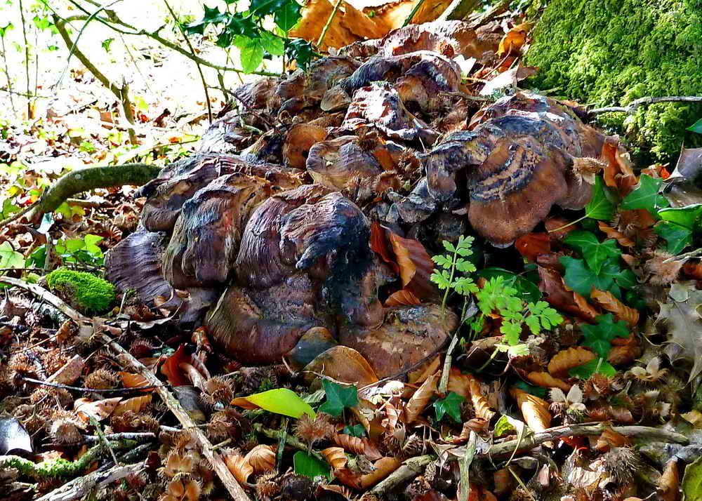
A mass of "gone over" fungi.
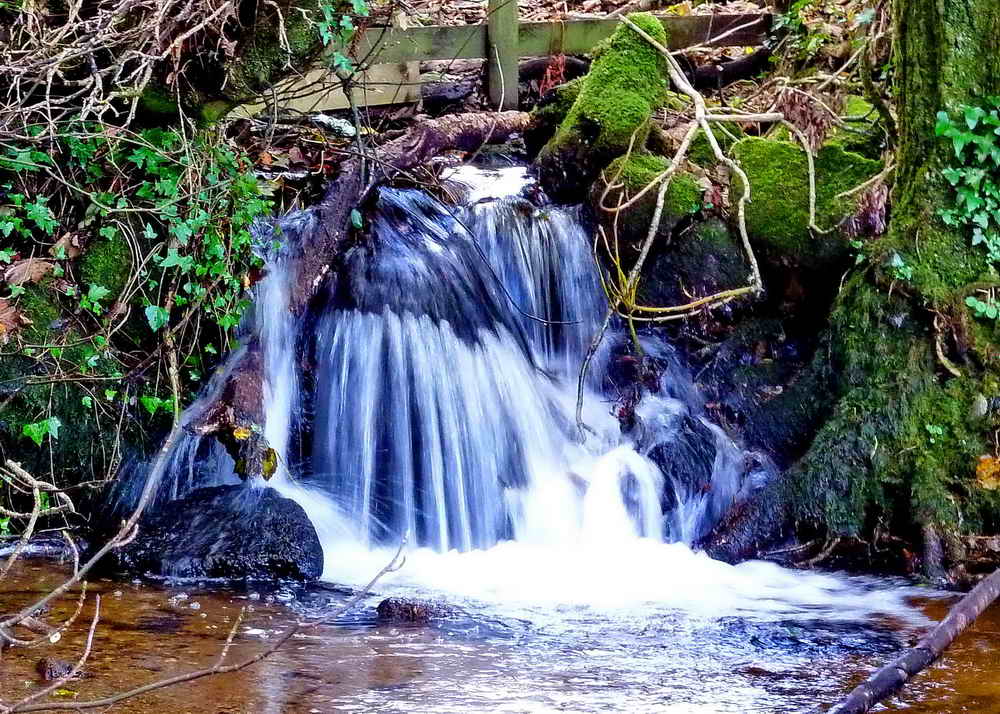
A pouring stream.

Great Hound Tor Camping Barn, sleeping 14 people .....

Closer view.
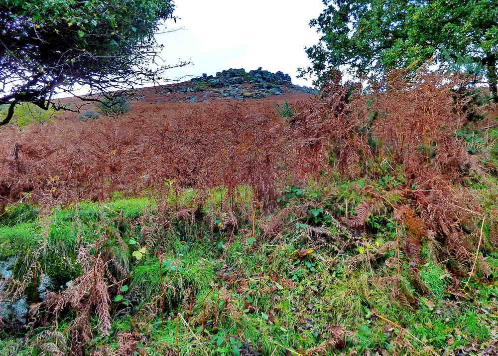
Final look at Houndtor.
MAP: Red = GPS satellite track of the walk.
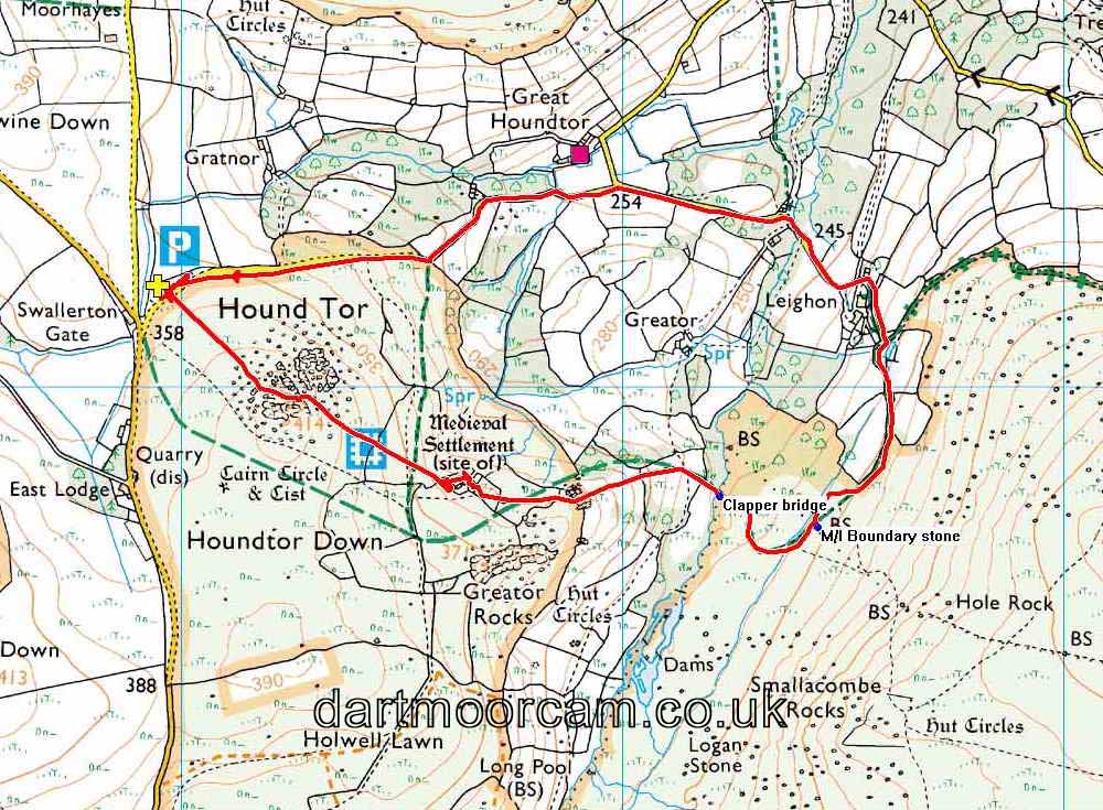
© Crown copyright and database rights 2012 Ordnance
Survey
Licence number 100047373
Also, Copyright © 2005, Memory-Map Europe, with permission.
The walk was accessed from the A38 from Plymouth using the Newton Abbot exit after Ashburton and following the signs to Sigford, then via these junctions: Hooks Cross (do not turn right for Sigford), Owlacombe Cross, Halshanger Cross, Cold East Cross and Hemsworthy Gate junctions. Take the first road RIGHT, at Harefoot Cross, and continue to Swallerton Gate car park, at the P symbol/yellow cross on the map,
Statistics
Distance - 4.86 km / 3.02 miles.
All photographs on this web site are copyright ©2007-2016 Keith Ryan.
All rights reserved - please email for permissions