![]()


This walk: 2013-1-11. Lopwell Dam, apple crusher, fish pass, tidal causeway, saltwater marsh, Maristow House, Tavy Viaduct, boathouse, belvedere, mill, oak apples.
Walk details below - Information about the route etc.
Link to Google Satellite view of the area
"The area is underlain with Devonian mudstone and sandstone geology." - Devon County Council, West Devon Area. River Tavy Middle Valley.

Circular trough of an apple crusher, embedded in the ground.
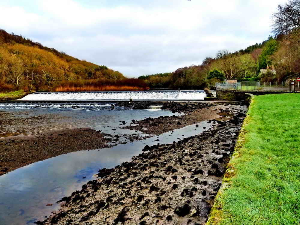
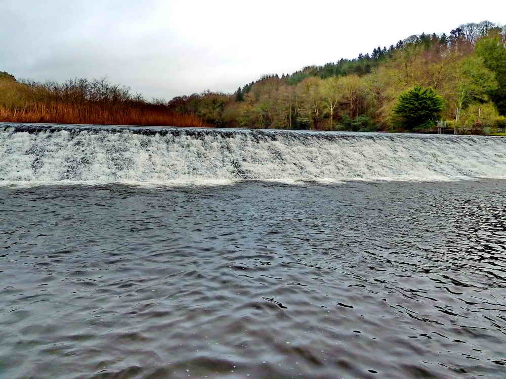
View of Lopwell Dam from the car park. There is a lower level fish ladder in front of the dam, about one-third the way across from the right (more photos below).

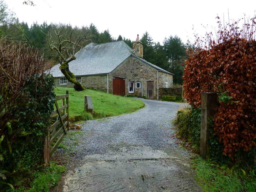
We viewed this (empty) property in Spring 1980 - the lead flashing was gone from the chimney stacks and there was a lot of water damage inside.
Looking upriver with the fish (salmon) pass (or "fish ladder") on the right.
Dartmoor CAM movie.
TIPS .....
A movie of the scene when standing just below Lopwell Dam, looking down the River Tavy, panning around and across the tidal causeway to the dam upstream and the fish pass. |
|
Click the photo to download File size: 5.1 MB. Time to download: e.g. 13 secs Length 31 secs |

Intrepid explorer crossing the River Tavy: the crossing is described as a tidal causeway - and we know someone who got it wrong - not in this photo, though!
The house behind, not the one we looked at.

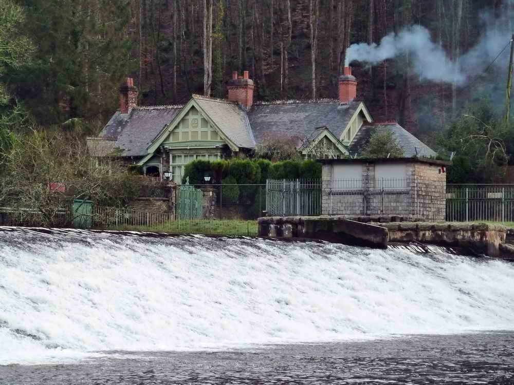
Looking back across the river at the recently refurbished Old Pump House visitor centre.

Click on the photograph to see a larger version.
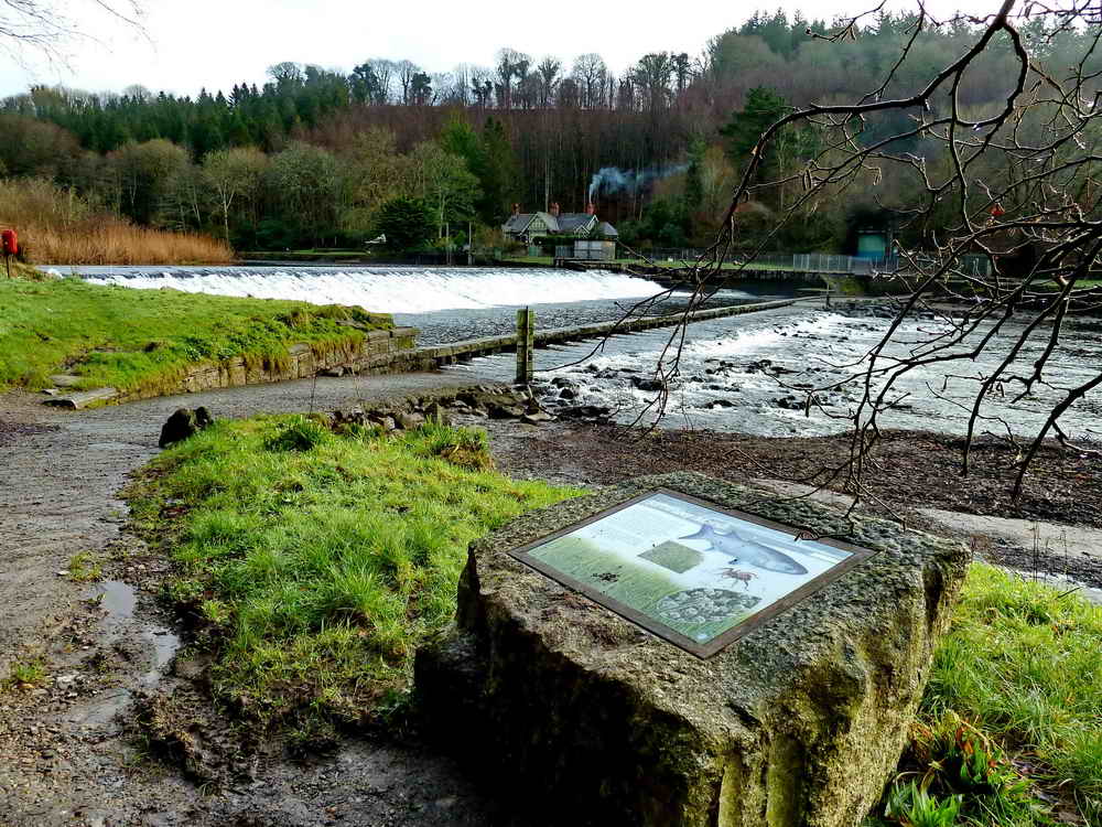
The location of the Saltwater Marsh notice board.
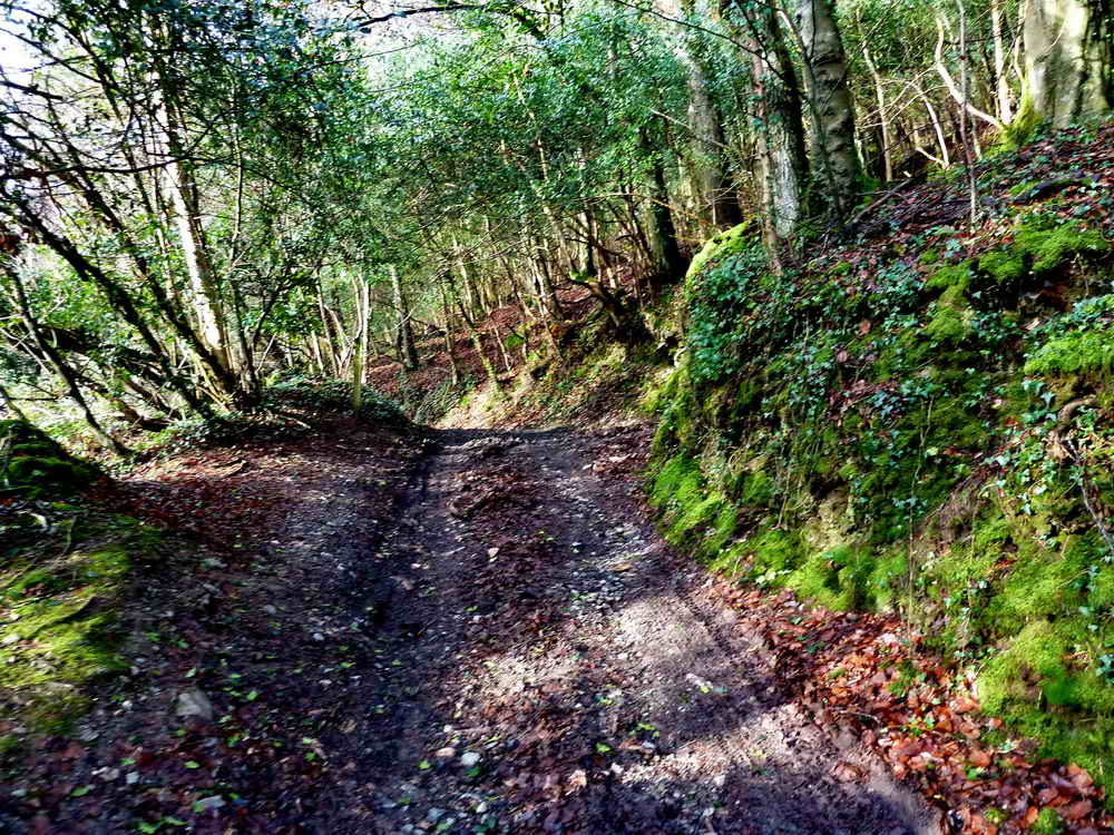
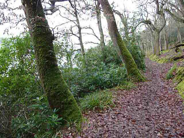
The path ahead, heading south-west, downriver.
Looking back - time for a classic, we haven't had one for a while! We must revive those journals and magazines, too?

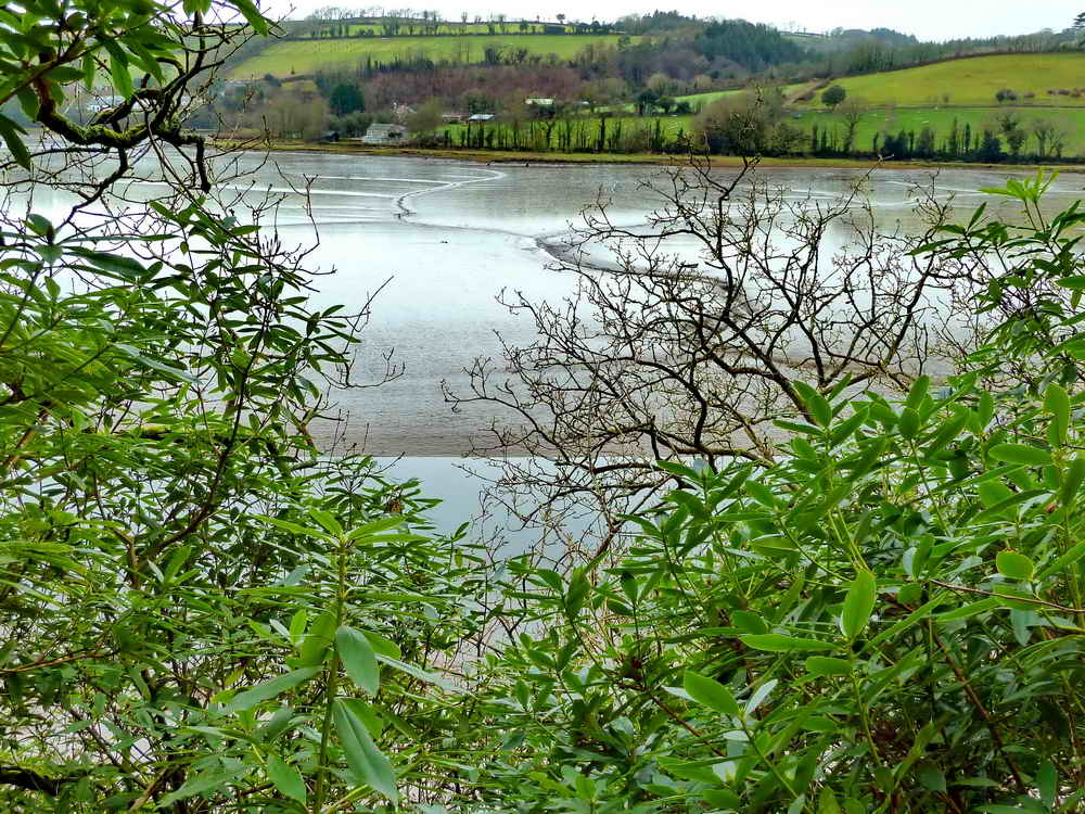
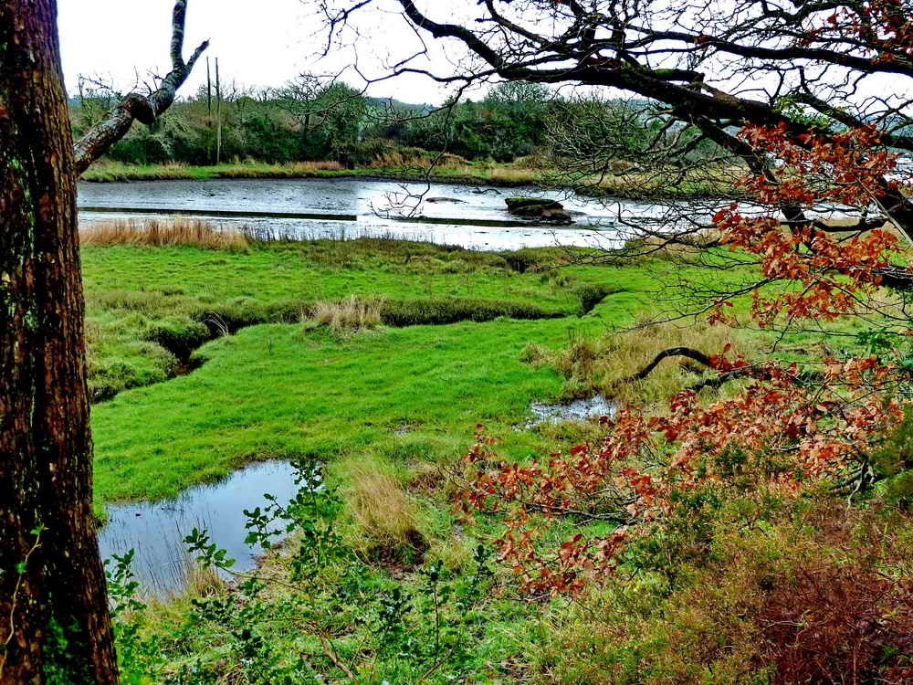
Looking out across the salt marsh.

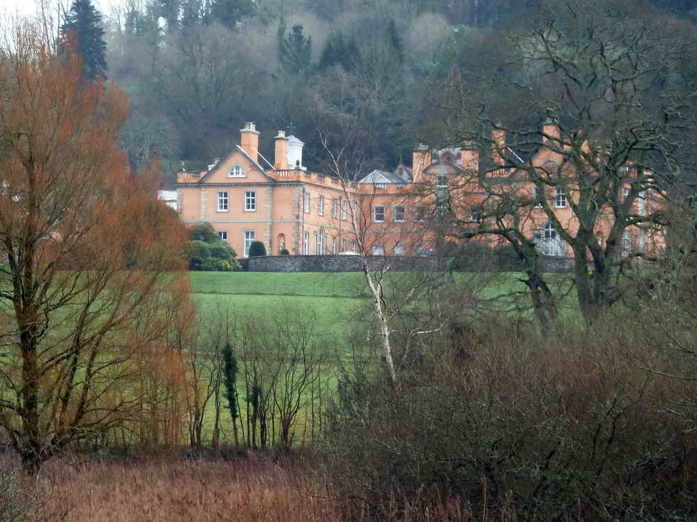
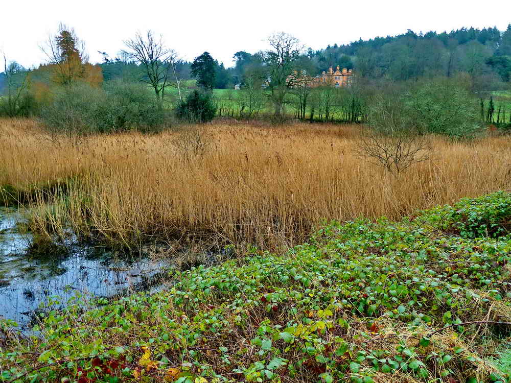
Maristow House through the trees ..... more "Maristow" later.
The steepness of the valley.

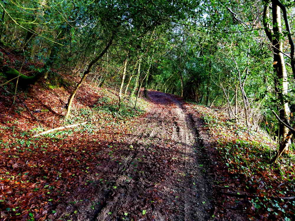
Through the trees.

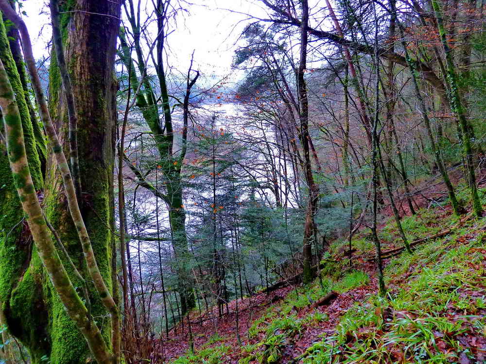
Tidal mud flats.
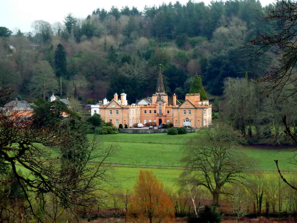
Maristow House link. Click on the photograph to see a larger version.

A lazy bend in the river.
View from the top of the track where it meets a road at SX 4678 6451, towards the Tavy Viaduct. Click on the photograph to see a larger version - where, unfortunately, the camera focused for one or two frames on the flailed hedge in the foreground ..... darn!

Looking back at the dam.
Photograph taken from a half-way position across the tidal causeway ..... looking upstream .....

As previous photograph ..... looking downstream.

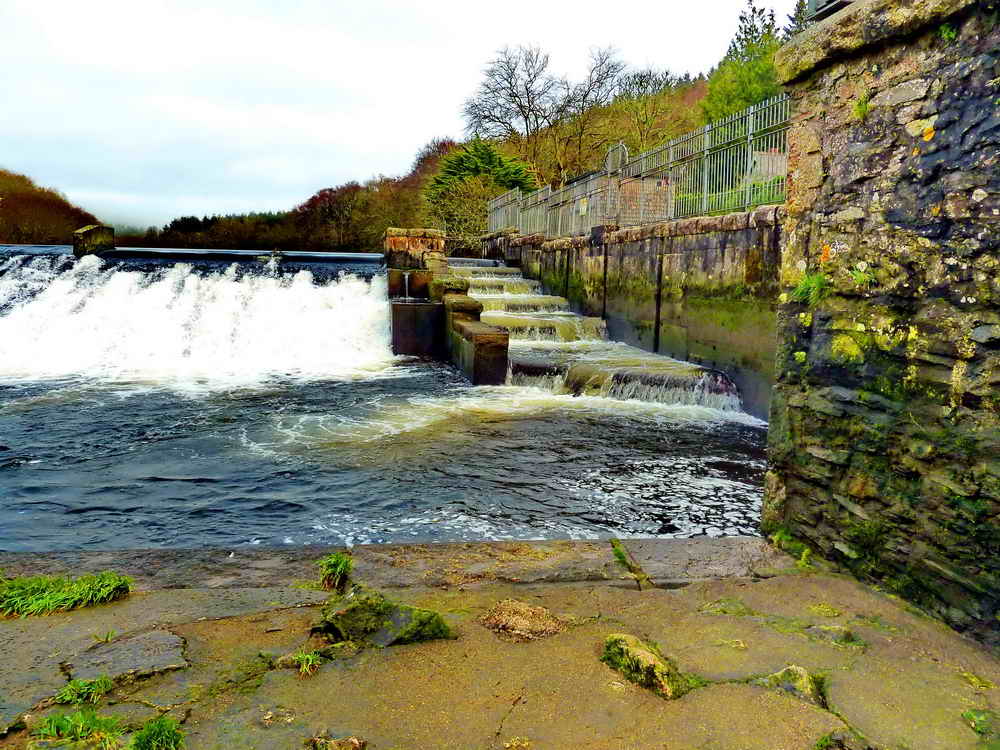
A fish ladder structure on the causeway - this is not part of the dam which is some way behind you when looking at this scene.

Butterfly Meadow reached by turning left after coming back across the causeway. Click on on the photograph to see a larger version.
Another look at what might have been!

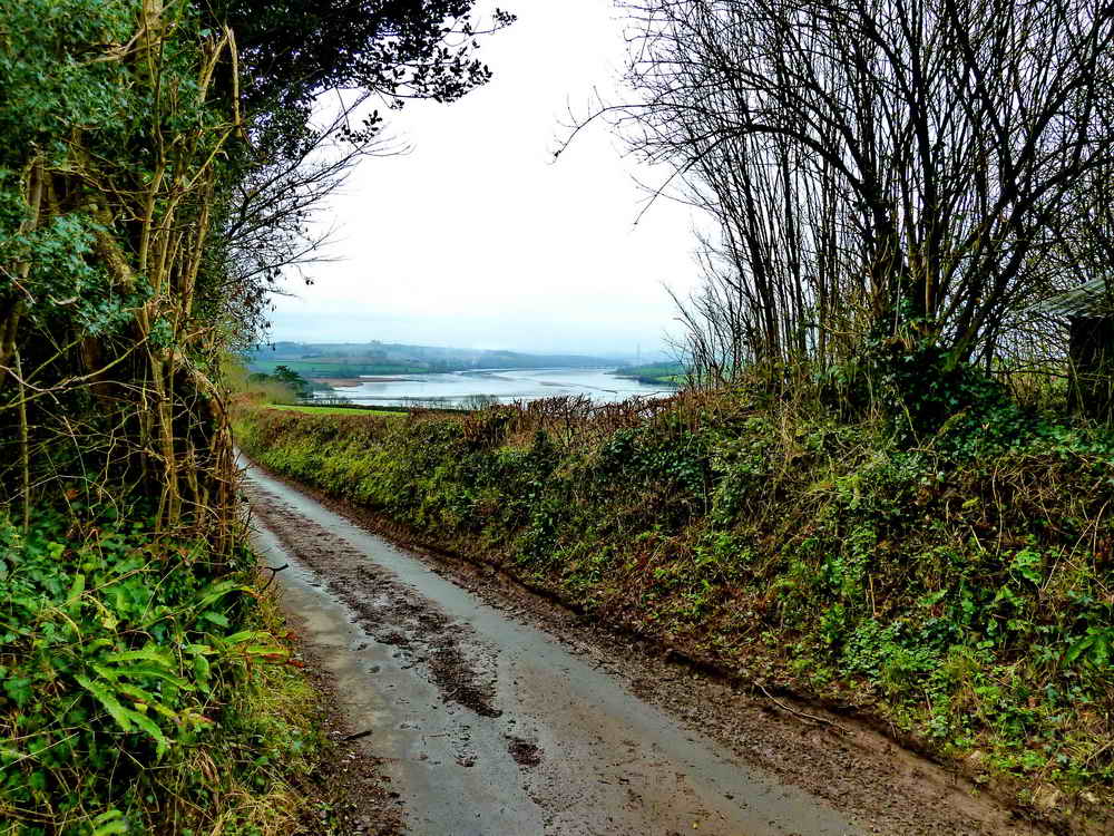
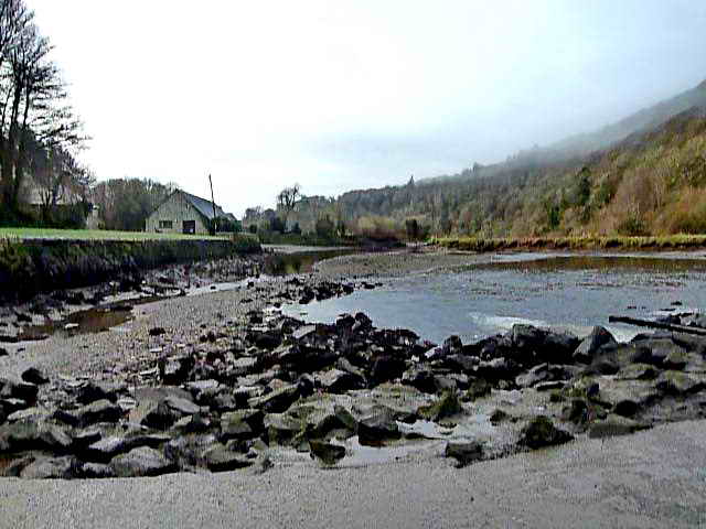
Looking upriver from a bend in the road just downstream from the car park.

Remains of rows of posts from what might have been an attempt to prevent erosion of the river bank.

Maristow House across the saltmarsh: the path was extremely muddy.
Another view.
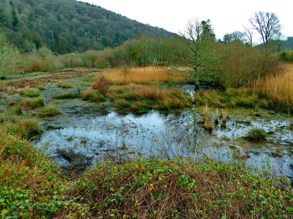
Saltmarsh again.
As previous photograph, with reed beds.

The scene downriver on turning around on the path from where the previous photographs were taken.

A MUCH better section of path. The bad sections were too slippery to stop and take photographs!

Notice seen on reaching the road .....

There has been a knotweed problem: www.cornwallknotweed.org.uk.
A quiet place to stop for coffee, which we did.
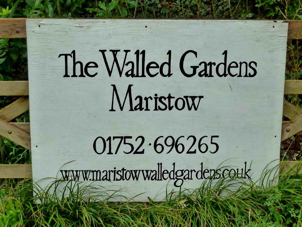
www.maristowwalledgardens.co.uk - "Under Construction". In the meantime, see the Facebook page.

Notice at the entrance to the path through Blaxton Wood: "Blachestane, Alfred le Breton. Salthouse" - in the Domesday Book!
Oops, I have just read the notice ..................

The path .....
The view .....
Dartmoor CAM movie.
TIPS .....
A movie of a panning view looking back behind, paning to show the oak-wooded hillside and then finishing looking ahead. |
|
Click the photo to download File size: 2.5 MB. Time to download: e.g. 13 secs Length 13 secs |
It was from oaks like these that England's sailing ships were made - not the oaks we see in hedges these days!
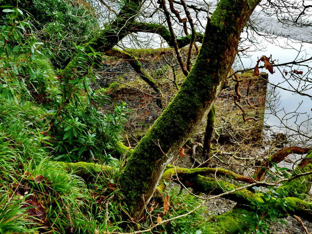
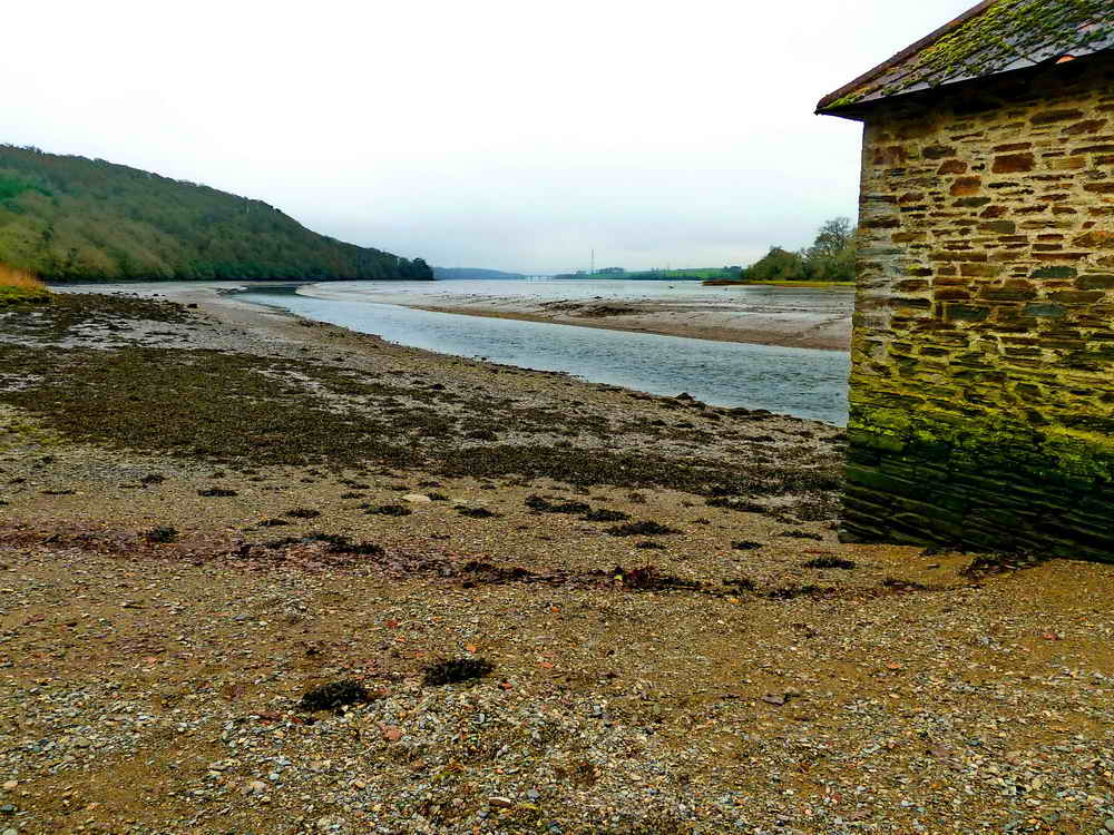
The ruins of an old boathouse?

Jokingly referred to as "the outhouse" for the boathouse, this old building has some interesting corner work (or architectural quoins) .....
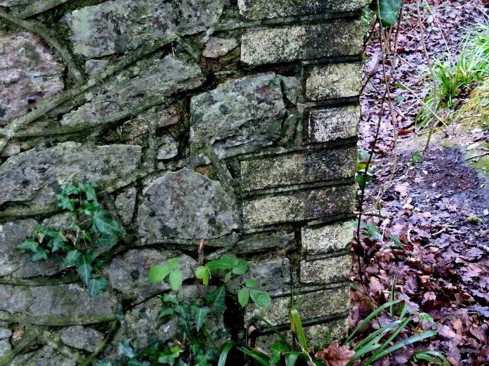
Stone-built walls with brick-built corners.

A belvedere or viewing platform .....
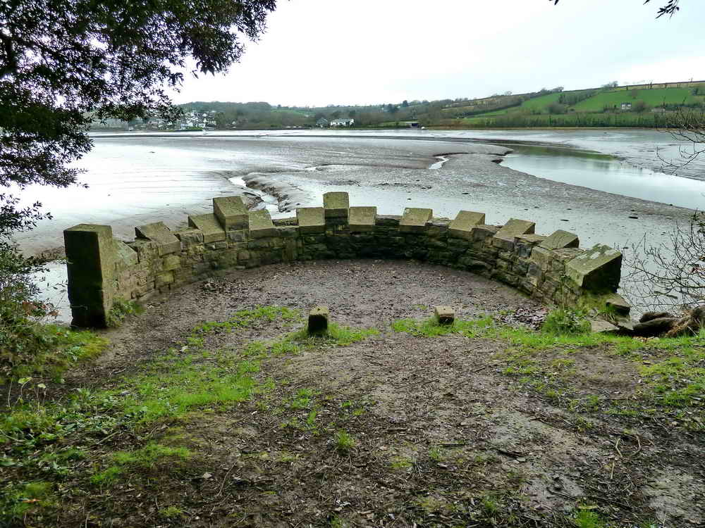
As previous photograph .....

Mallards .....

..... and another view to the Tavy Viaduct.
Oh yes? Suggestions on a postcard, please ........... or click here for an erudite explanation .....

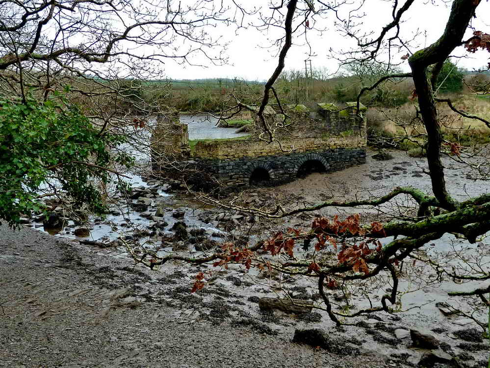
Mill ruins in Blaxton Creek .....

End view of the flour and grist mill, plus there is an interesting foundation to a wall in the mud at bottom-left of the photograph .....

A tunnel seen across the creek just behind the mill, in the embankment that carries Blaxton Mill Lane (the "click here" link above) or simply Blaxton Lane (Google Satellite link at the top of the page).
I don't know why but I told my walking buddy that these marsh views reminded me of Dr Syn, which I read as a very young boy!

These apples hurt your teeth, oak apples, or oak apple galls, also known as Devonshire galls! These appear to be sessile oak leaves, rather than pedunculate oak (which have lobes where they join the stalk). These are marble galls (being the size of marbles) and possibly caused by the gall wasp, Biorhiza pallida. They might be oak marble galls that can ocur on the common oakks, caused by another gall wasp, Andricu kollari, but this wasp needs the Turkey Oak to complete its life cycle. Spangle galls can also be found on the underside of oak leaves but they are smaller and at early stages brightly coloured; they are caused by another gall wasp, Neuroterus quercusbaccarum.

The road back.
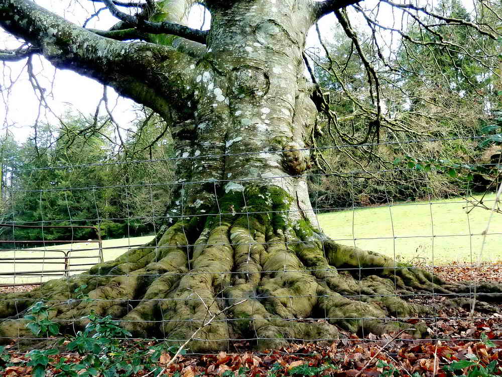
An impressive tree bole, after all the trouble we went to to get this photograph (all credit to RH for his 6'3" stature and much higher reach) it is a pity that I neglected to identify it. Must go back again! The dead leaves on the ground on the original file look as if they are beech.
Red = GPS satellite track of the walk.

© Crown copyright and database rights 2012 Ordnance
Survey
Licence number 100047373
Also, Copyright © 2005, Memory-Map Europe, with permission.
This location was reached by following a signs to "Lopwell" on the left after reaching open moor from the Roborough direction travelling towards Yelverton. Parking was at the yellow cross on the map above.
Statistics
Distance - 8.63 km / 5.36 miles.
All photographs on this web site are copyright ©2007-2016 Keith Ryan.
All rights reserved - please email for permissions