![]()


This walk: 2012-9-5. Dr. Blackall's Drive, Bel tor, Miltor Lane, Mel Tor, Sharp Tor, slotted gatepost, rock basins, Venford Reservoir, hut circle, tors, Buckland Beacon, Aish Tor, Leusdon Church, River Dart, rowan trees.
Walk details below - Information about the route etc.
Link to Google Satellite view of the area - The car park is at the road junction at the top of the page. The walk went as far as just past the fields near the right-of-centre near the bottom of the map, short of the quarry.
Similar walk: 14 April 2010.

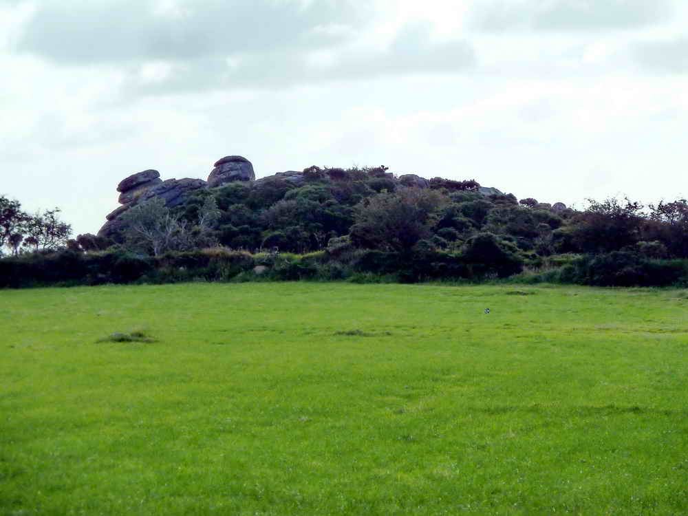
Zoomed view looking over a gate on Dr. Blackall's carriage drive (i.e. Mel Tor or Miltor Lane) at Bel Tor, on private ground. It is located at SX 6968 7293, elevation 354 metres (1161 feet) .....
A more zoomed view.
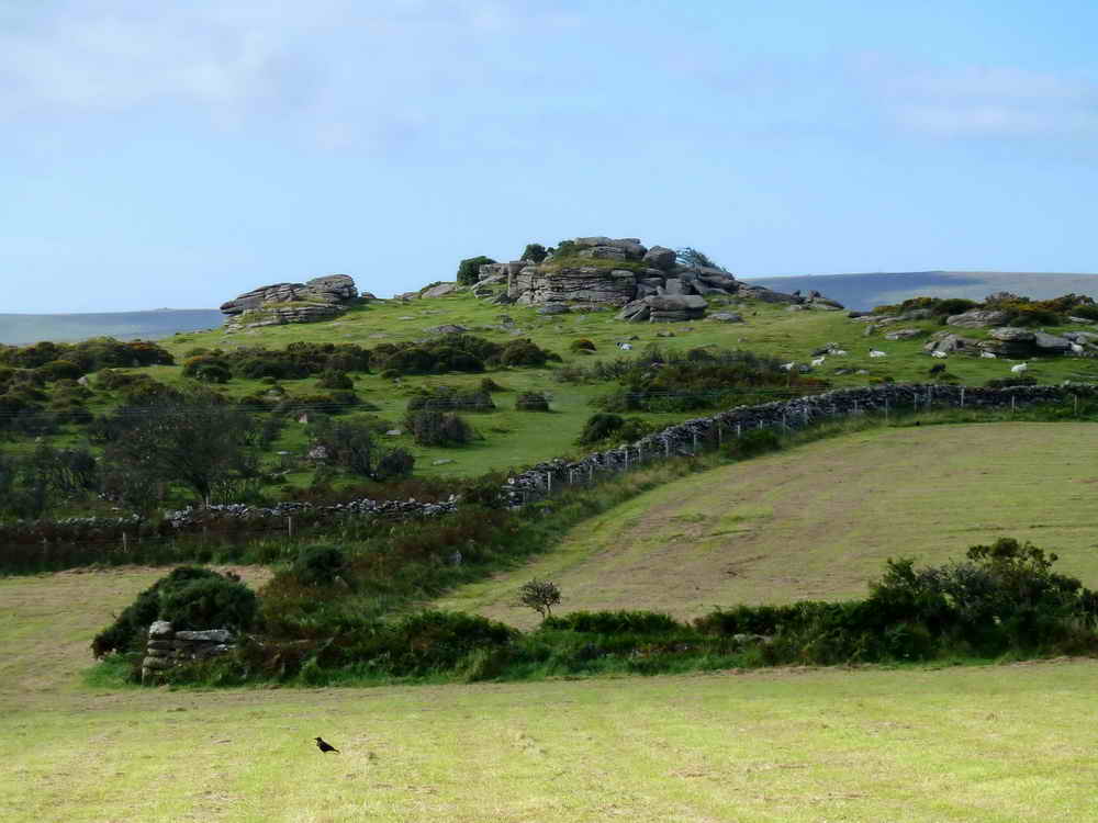
Zoomed view to Sharp Tor, SX 686 729, elevation 380 metres (1246 feet).

Slotted gate post right beside Dr. Blackall's Drive (Mel Tor Lane).
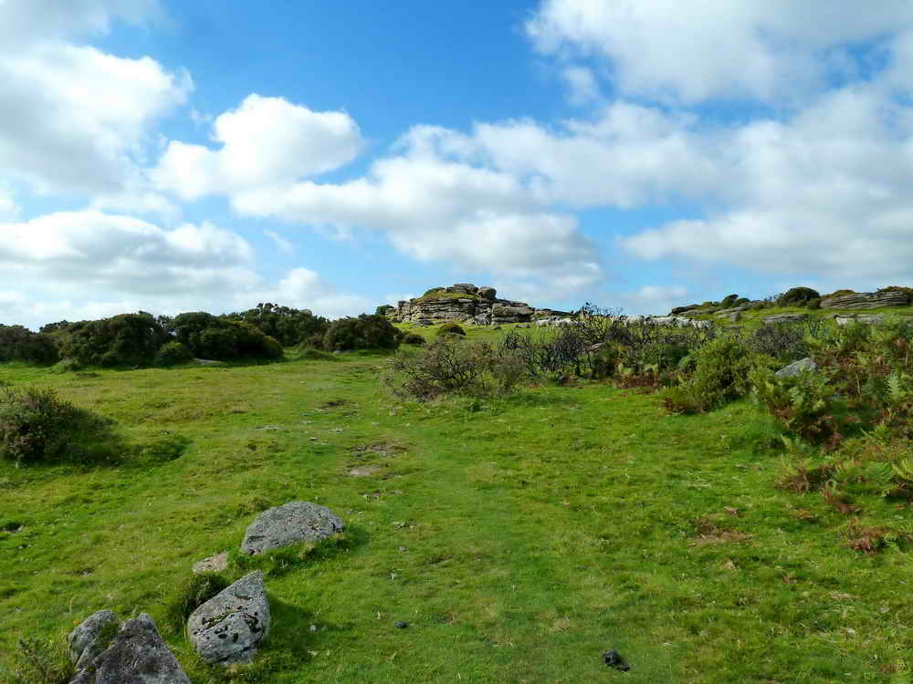
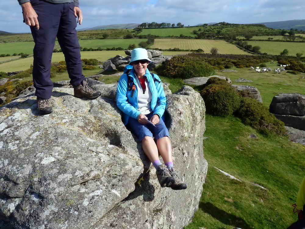
Mel Tor, at SX 693 725, elevation 346 m (1135 ft).

Approaching Mel Tor ..... more correctly called Mil (Middle) Tor because it is between Sharp Tor and Bel Tor ......

As previous photograph .....
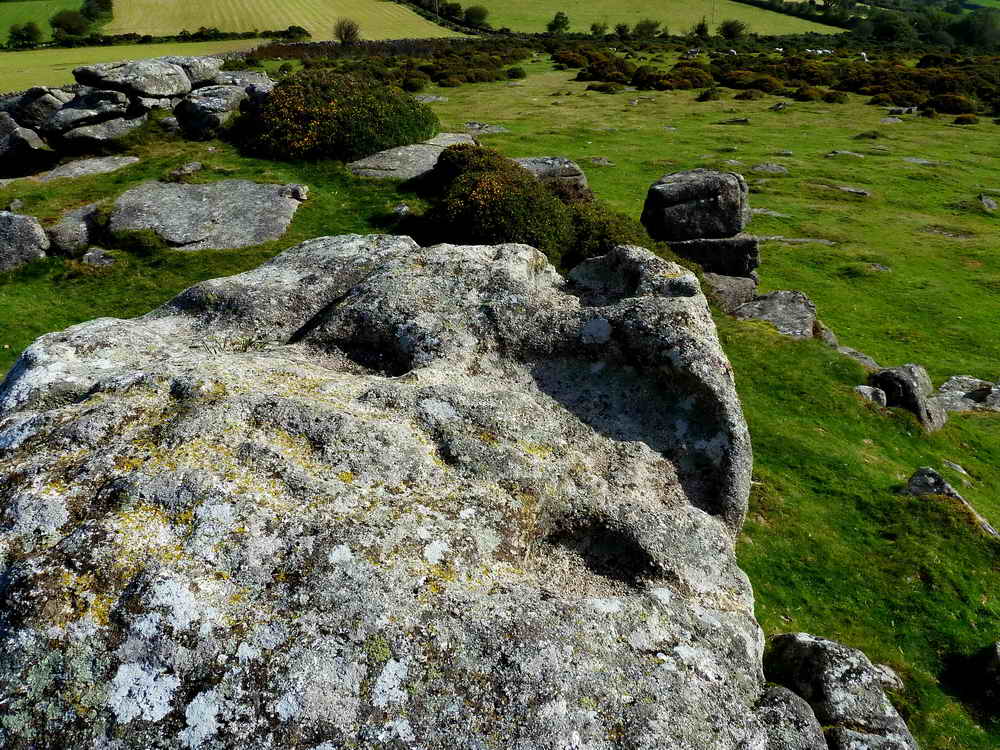
The top of Mel Tor is worn with several rock basins .....
I couldn't possibly put that caption here!

Sharp Tor, again .....

As previous photo.

It started to rain upon the sun-hatted one!

Zoomed view to Venford Reservoir.

The sermon on the mount - concernng the revival in the 1950s and in 1962 of the tradition of rolling a burning wheel down into the valley at midsummer to be quenched by the River Dart below. The wheel represented the sinking of the midsummer sun and goes back to pre-Christian times.

Bronze Age round house (or hut circle), part of the ancient Mel Tor farmstead and enclosure, described by J. Butler (1994), Dartmoor Atlas of Antiquities I, 11.4, pages 118-119.
Tors 1 ???

Tors 2 ???

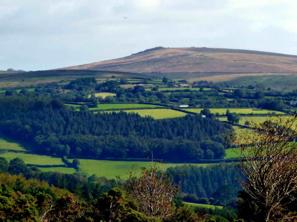
Buckland Beacon, SX 735 731, elevation 390 metres (1282 feet).

Our intrepid explorer conquers Aish Tor, or rather the small cairn of stones on top of the rounded hill called Aish Tor. There appears to be no rocky outcrop here that can be termed a "tor" .....

The cairn is made of peripheral country rocks that occur around the Dartmoor granite. The area is part of the metamorphic aureole of rocks including shales, sandstones and limestones altered by heat. Nearby Mel Tor is granite.

Distant view to Leusdon Church of St. John the Baptist or St. John's Church, where Dr. Thomas Blackall of Spitchwick Manor, a generous local benefactor is buried, having died in 1899 .....

Zoomed view.

The cairn on Aish Tor.
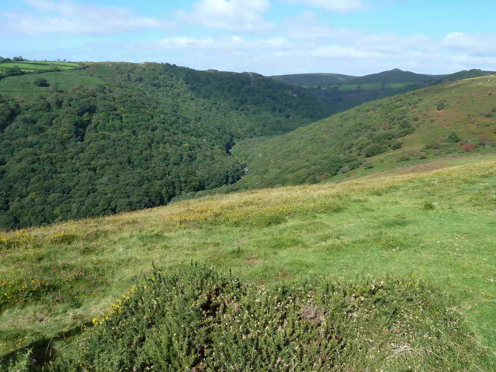
Looking down into the gorge of the River Dart (here it is the combined West and East Dart rivers) ......

Zoomed view .....
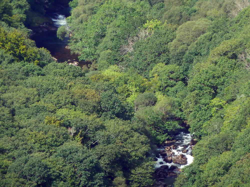
Another zoomed view.

Zoomed view to some rowan trees bearing a lot of berries.

The south-west meets the north face.

Mel tor with Sharp Tor behind (left) .....

Mel tor with Sharp Tor behind (left) and a section of Dr. Blackall's Drive .....

Back at the hut circle.

A look along Dr. Blackall's Drive

Zoomed view to Sharp Tor.
MAP: Red = GPS satellite track of the walk.

© Crown copyright and database rights 2012 Ordnance
Survey
Licence number 100047373
Also, Copyright © 2005, Memory-Map Europe, with permission.
The walk was accessed easily via the Two Bridges-Ashburton road, with parking at the Bel Tor Corner car park, the P symbol on the map with the yellow cross.
Statistics
Distance - 5.03 km / 3.13 miles
All photographs on this web site are copyright ©2007-2016 Keith Ryan.
All rights reserved - please email for permissions