![]()


This walk: 2012-9-13. Powdermills, Longaford Tor, Lich Way, ruined buildings, chimneys, waterwheel pit, Beardown Tors, Littaford Tors, Bellever Forest, Higher White Tor, Fernworthy Forest, Hereford cow, cists, Arch Tor, Bellever Tor.
Walk details below - Information about the route etc.
Link to Google Satellite view of the Powdermills area
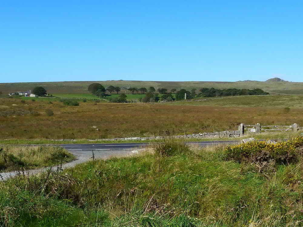
Powdermills as seen from the Higher Cherrybrook car park, with the modern buildings (left) and old buildings (centre-right) with Longaford Tor behind (right). The hyperlink includes a map and possible functions for the old buildings ..... .....

Zoomed view to the old chimney nearest the road .....

Powdermills modern buildings.

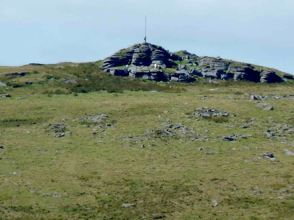
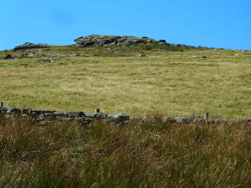
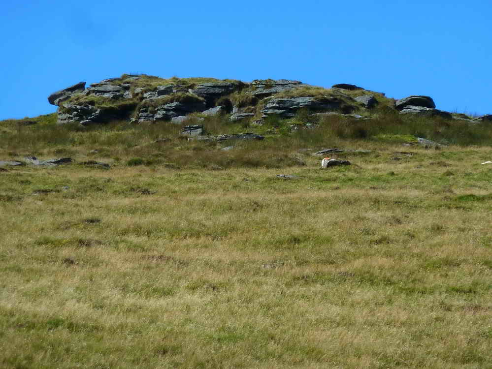
Longaford Tor, SX 61565 77931, elevation 507 metres (1663 feet), seen from the car park.
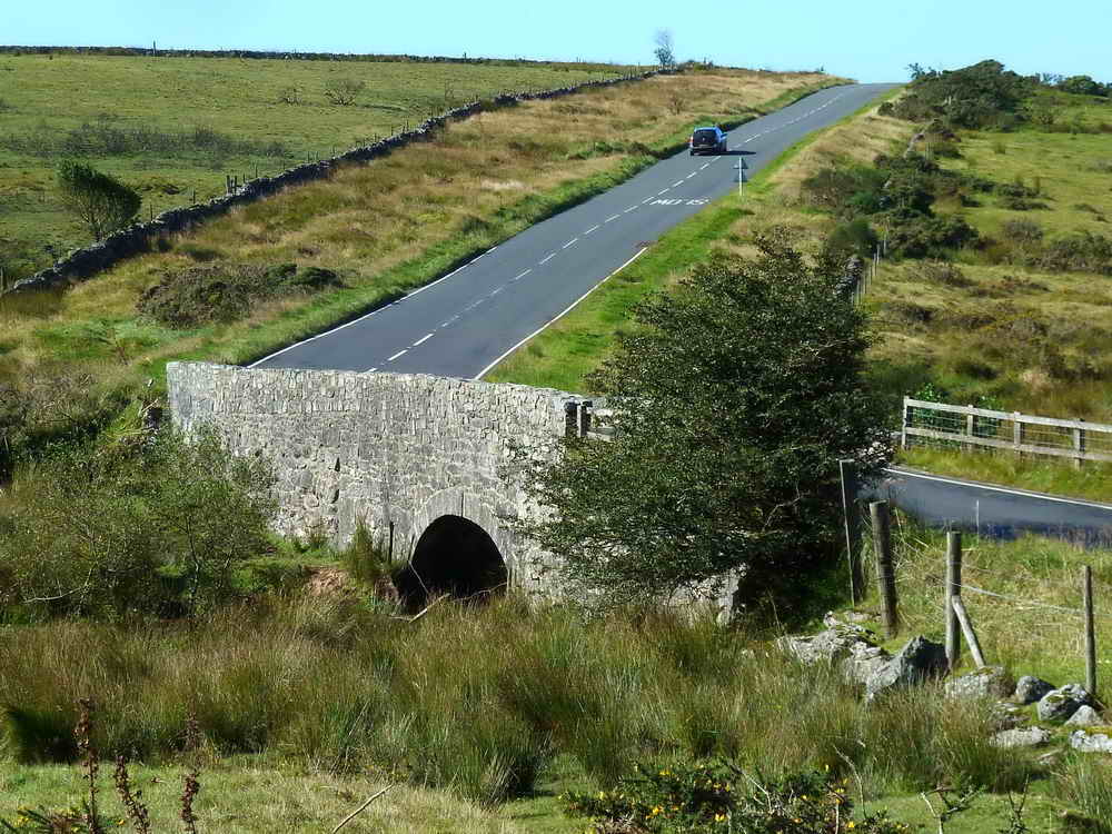
Higher Cherrybrook Bridge, from the car park.
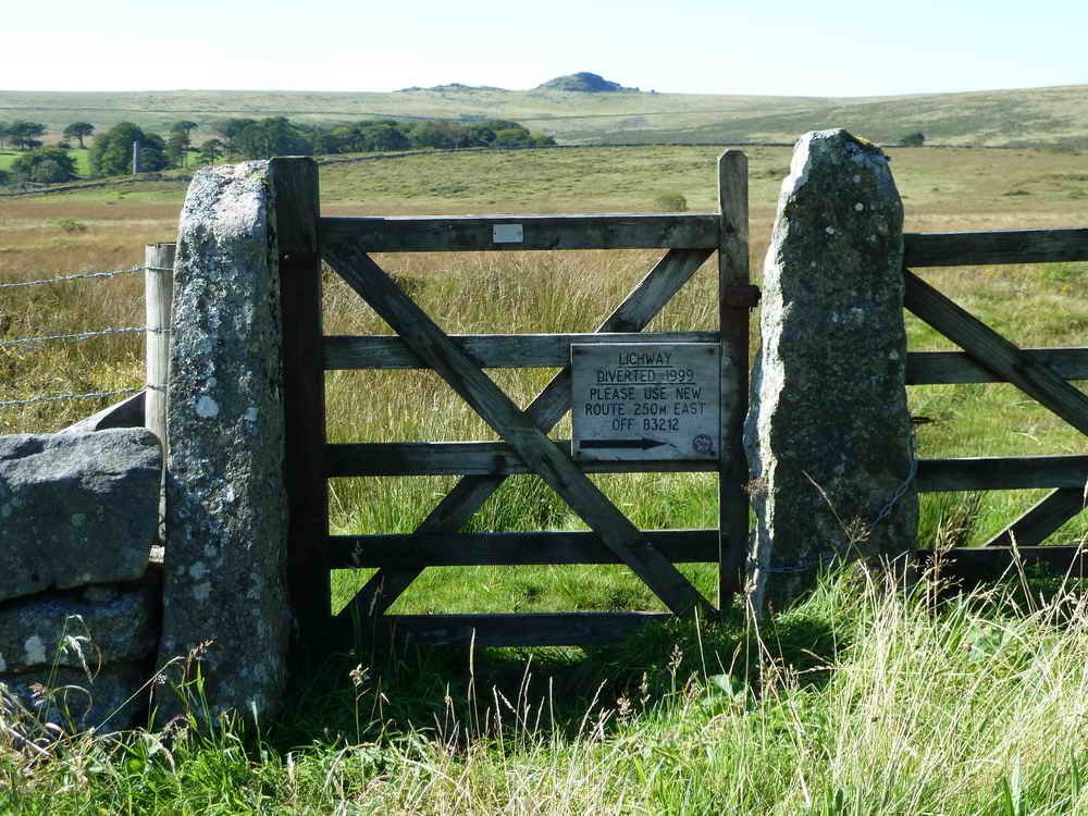
The gate from which the walk was supposed to start from .....

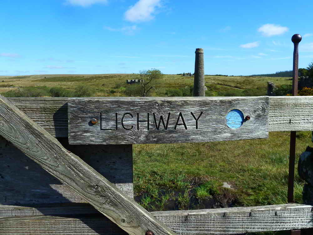
Notice of a Lich Way diversion - actually 718 metres, the 250 metres on the notice must be converted from a Devon country mile!

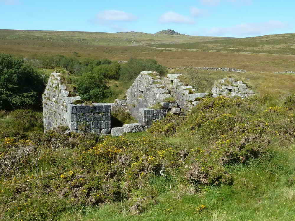
The first ruined building encountered that was part of the old Powdermills complex. These buildings generally had two parts with a waterwheel between them. The walls were massively thick to withstand explosions but the roof was flimsy and designed to blow off if there were an explosion. A bank can be seen at the extreme right, leading the leat to the waterwheel. The gunpowder was generally known as rock powder and was used by the tinners for mining, quarrymen for blasting and farmers for clearing rocks in newtakes.
Powdermills is described by Helen Harris (1968) in Industrial Archaeology of Dartmoor, David & Charles, Newton Abbot, page 128-133. There are three waterwheel houses or "incorporation mills", each accompanied by a smaller nearby building to store the gunpowder, "magazines". The other buildings performed various other functions to do with the handling and packaging of the powder. The Legendary Dartmoor web page gives a list of references.

View of the building with is two rooms and central water wheel area.

Vaguely artistic photo of the ruins.

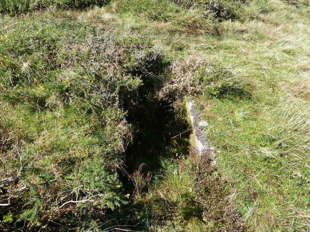
Looking into the wheel pit.
Looking from inside one room, across the water wheel pit and through the second room to the outside.

Looking through a window, showing the massively thick walls (approx. 6 feet thick).

Looking right through the building, from outside.

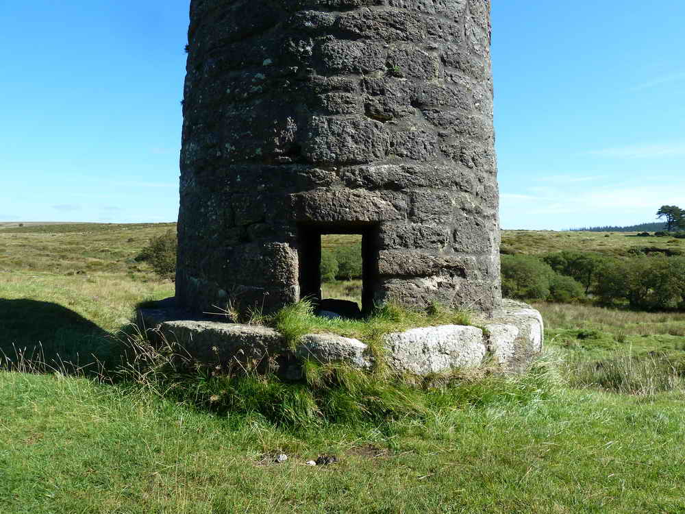
The chimney seen at the start of the walk.

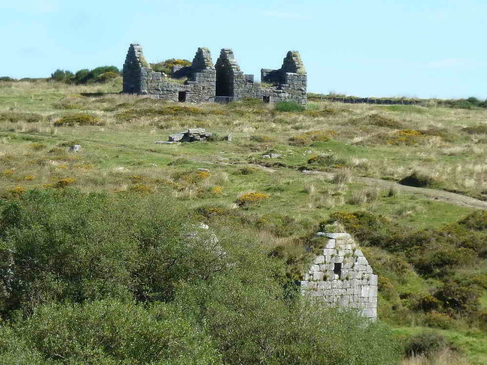
Another ruined building, one of twelve (?)

Showing one of the path guidance posts (not too many of these!), the second chimney on the site and other remains of buildings.

Another building.
And another!

Closer view.

Somewhere else!

Second chimney with Longaford Tor behind.

Ruins among the trees.

The first chimney seen again after walking along the track towards the modern buildings.

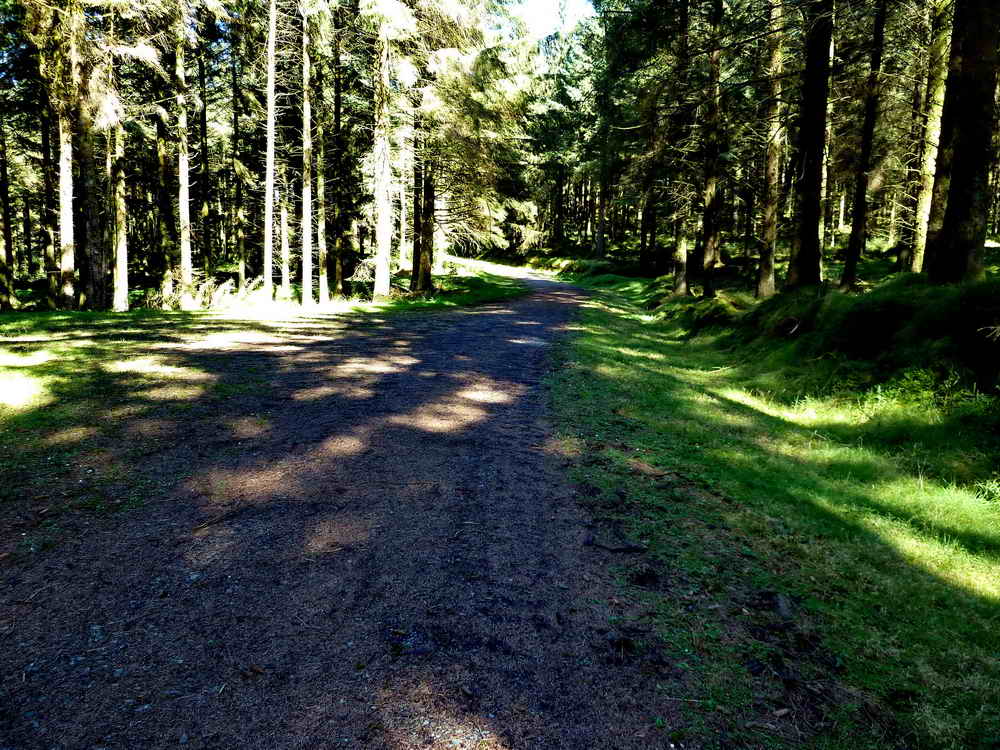
The track.
Base of the second chimney base.
Building seen previously.

Ditto.

Base of the second chimney.

Seen previously.
Looking back at Powdermills after leaving the site.

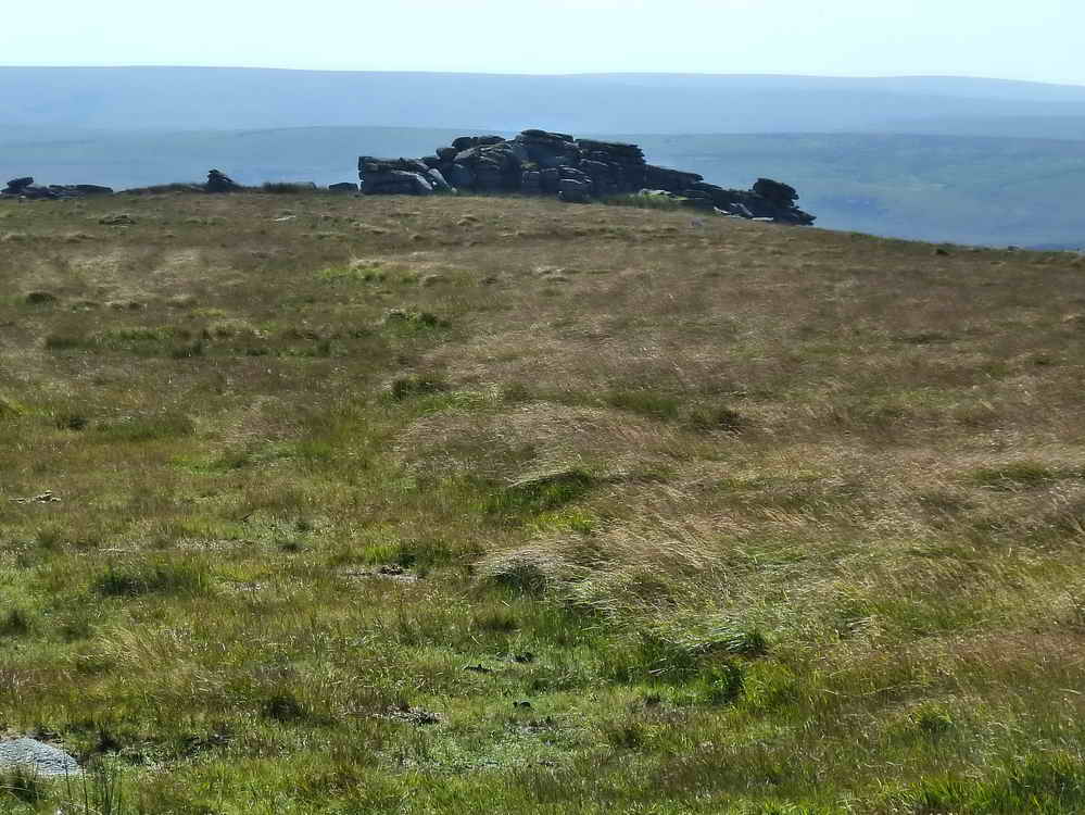
Longaford Tor again.

Looking across the West Dart River valley to the Beardown Tors ,,,,,
One of which has a Firing Range flagstaff.
Looking back at Littaford Tors.

Longaford Tor again.

Looking up Longaford Tor from our lunchtime stop.
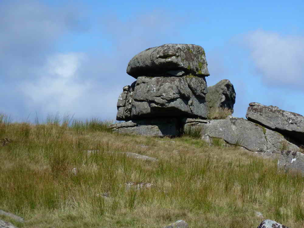
Rock formation very close to Longaford Tor.

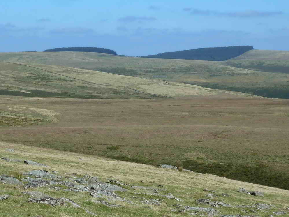
Sweeping view back over Bellever Forest.

Looking at Longaford Tor from the top of Higher White Tor.
Parts of Fernworthy Forest.

Looking at the gaps in a dry stone wall.
Looking back up at Higher White Tor, SX 619 785, elevation 527 metres (1728 feet) .....
As previous photograph.

Looking down on an area of flowering Western Gorse (Ulex gallii).

A Hereford cow.

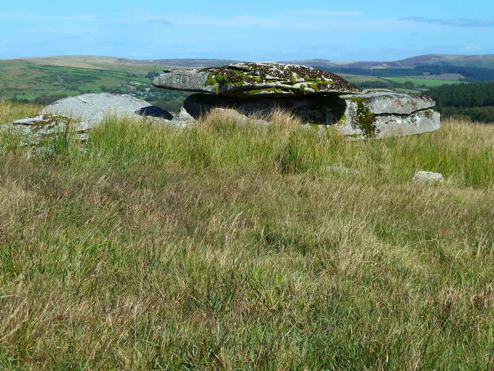
First cist, at SX 62570 77899. Jeremy Butler, 1994, Dartmoor Atlas of Antiquities Vol. 2 - The North, 29, 9-12 - Cherry Brook west bank settlements and cairns, page 64, states: "Only 8 m north of the second hut a kerb circle surrounds a well-preserved cist, with all four slabs in place and and cover slab tilted to one side. A second cairn and cist about 70 m downhill has not survived so well, only one side slab remaining next to a pit in which in the centre of the mound." There is also discussion about "money" being found in cists .....

Another view,
The second cist, at SX 62610 77829, as described above.

Looking back up at Higher White Tor.

Approaching Arch Tor at SX 63400 78176, elevation 410 metres (1345 feet) .....
As previous photograph .....

The letters PC are incised into the stone .....

Closer view .....

View across the tor to Bellever Tor, behind Bellever Forest .....

Shallow rock basins on the top of the tor .....

Your's truly on Arch Tor.
Dartmoor CAM movie.
TIPS .....
A movie the Arch Tor logan stone. |
|
Click the photo to download File size: 4.5 MB. Time to download: e.g. 13 secs Length 18 secs |

Crossing a leat at SX 6344 7795, that appears to run to Powdermills from Archerton.

Looking at the new Lich Way path across the B3212 road and into Bellever Forest .....
A modern road in the forest.
MAP: Red = GPS satellite track of the walk.
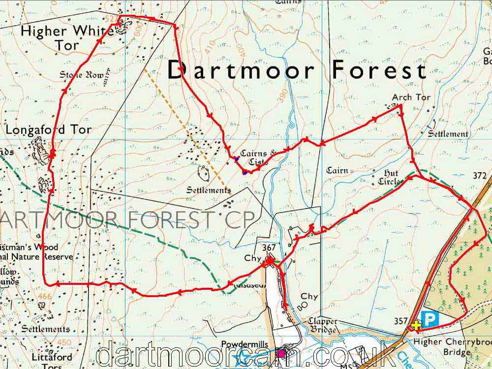
© Crown copyright and database rights 2012 Ordnance
Survey
Licence number 100047373
Also, Copyright © 2005, Memory-Map Europe, with permission.
This walk was reached by parking at the Higher Cherrybrook car park on the B3212 between Two Bridges and Postbridge, at the P symbol on the map with the yellow cross. A more sensible parking spot another time is where the red track on the map above crosses the road - this is because the old Lich Way was been diverted in 1999, due to marshy conditions around the old section of the path.
Statistics
Distance - 9.96 km / 6.19 miles
All photographs on this web site are copyright © 2007-2016 Keith Ryan.
