![]()


This walk: 2012-7-11. Cross-leaved heath, sheep, Barn Hill, Staple Tors, cist, Grimstone & Sortridge Leat, Beckamoor Cross, bullseye stone, Feather Tor, wedge and groove granite splitting, Vixen Tor, Vixana, fallen WB bound stone, Prowtytown Corner, Prowtytown Rocks, Tamar bridges, reave, Cox Tor, rook.
Walk details below - Information about the route etc.
Link to Google Satellite view of the area - Pork Hill car park is at centre top of the image.
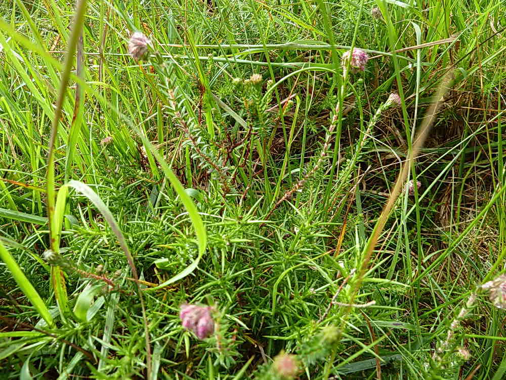
Cross-leaved heath, Erica tetralix, although the flowers are not seen well in this and the following photograph .....
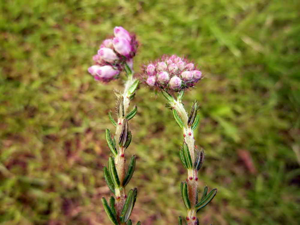
The leaves are in whorls of four.

According to our guide, the summer has been so wet that the sheep on the moor are going rusty.

Group at the rocks on Barn Hill, which should be called Barn Tor?
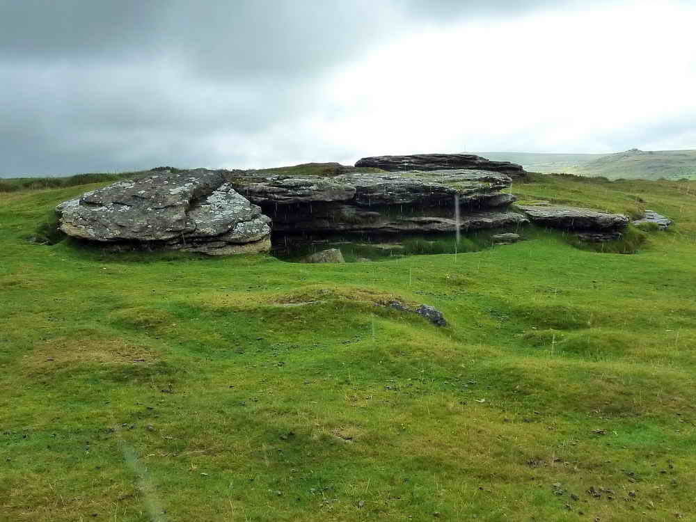
Another view, in a heavy shower - see the rain drops!
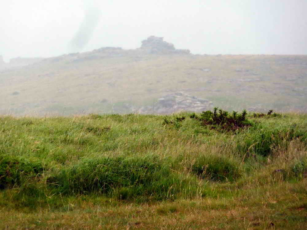
View up to Middle Staple Tor in the mist.
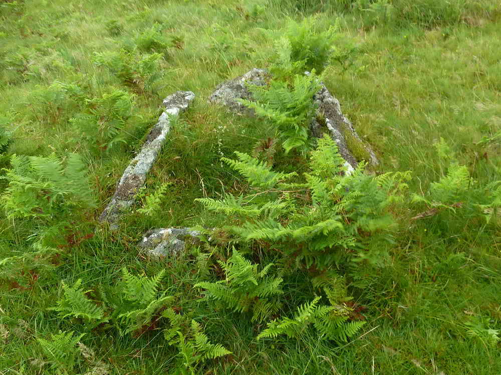
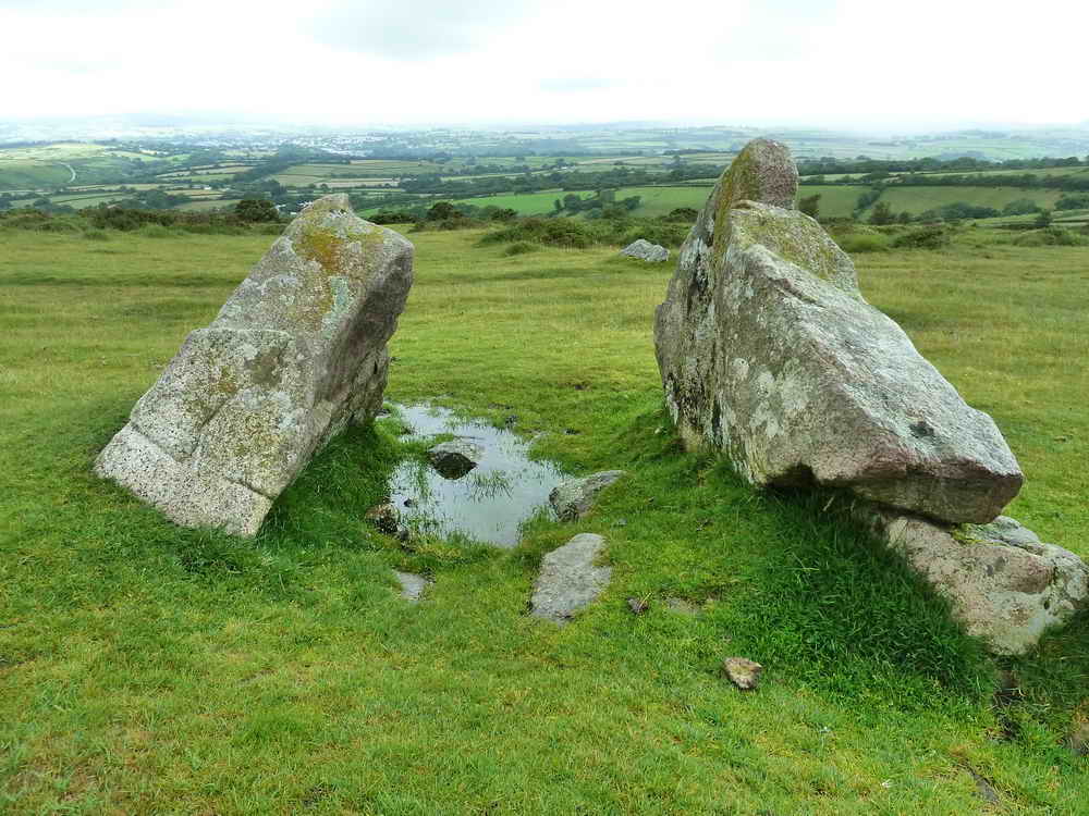
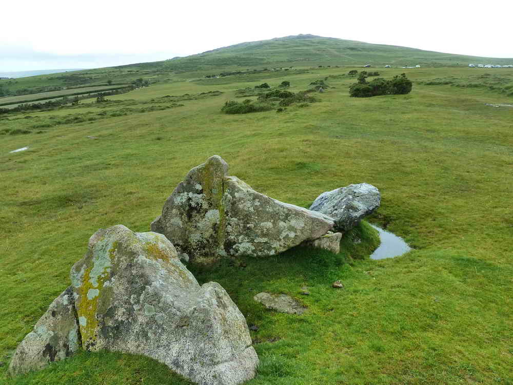
Barn Hill South cist / cairn at SX 53316 74552, described by J. Butler (1994), Dartmoor Atlas of Antiquities III, 44.10.3 with a plan and map on page 34 and a record on page 206. A second cist is described as Barn Hill N.E. at SX 5343 7503 .....

As previous photograph.

Grimstone & Sortridge Leat, with Beckamoor or Windy Post Cross: a difficult-to-see Ordnance Survey benchmark is incised into the cross on its southern face, it can be seen on this page, over halfway down the page.
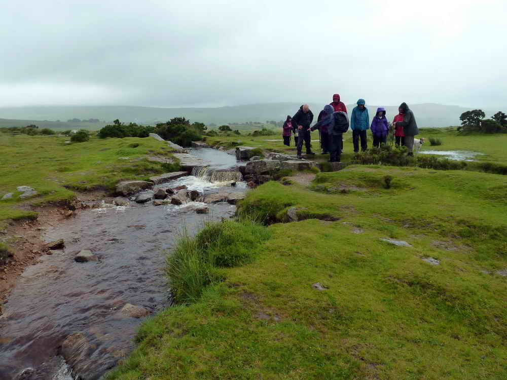
The leat divides here to run to the right, going down past Pewtor Cottage, and continuing towards the camera to supply farms etc. down past Oakley Farm and Oakley Cottage etc.

Another view of Beckamoor Cross.
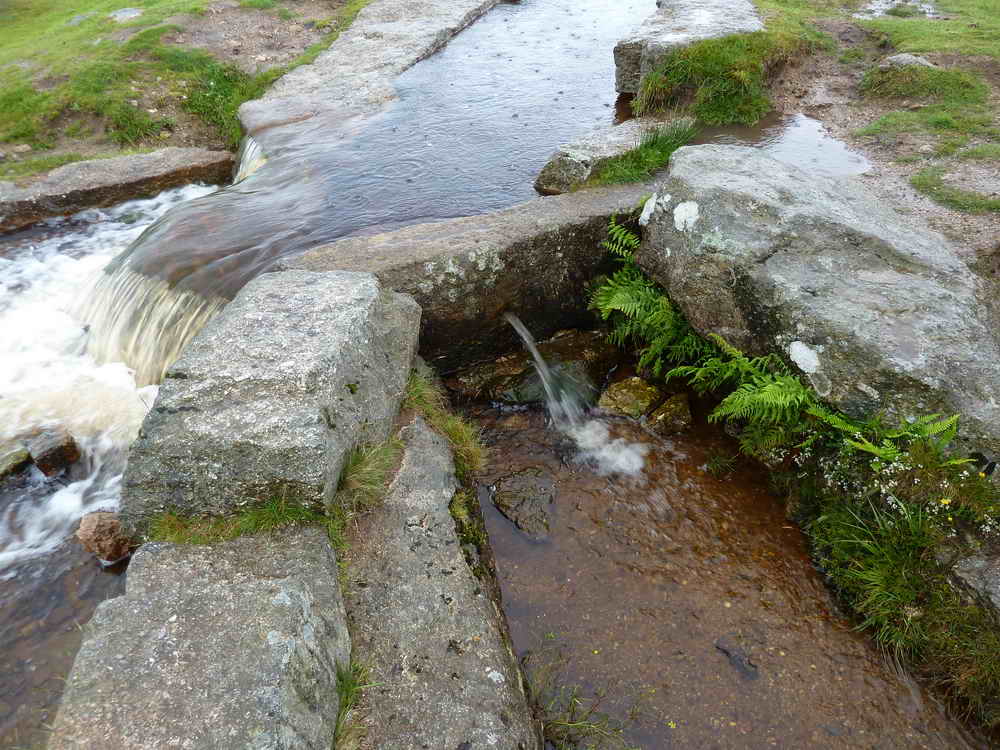
The bullseye stone that limits the water taken off to supply farms etc. - more description can be found here.

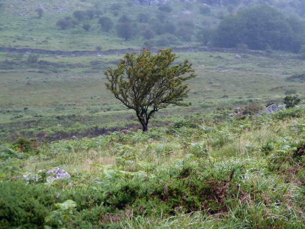
Feather Tor, at SX 534 741, elevation 304 metres (997 feet) .....
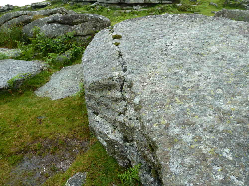
Nearby evidence of granite splitting by the wedge and groove method ......

Another view, with the tor behind.
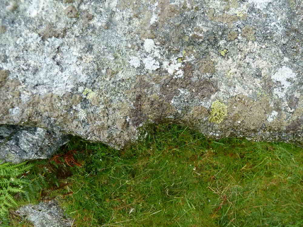
An edge view of a rock that was split by the wedge and groove method.
Nearby tree that is a landmark for a broken trough, found by Hugh, abandoned at SX 53742 73903. It can be seen HERE.
 s
s
Vixen Tor SX 542 742, elevation 317 meters (1040 feet). The stack is about 30 metres (100 feet) in height. Today's guide was able to tell us the full story of the witch, Vixana, who lived on Vixen Tor. The "Vixana" link leads to a more civilised version of the story: the real story was about the son of the King of the Piskies and also that Vixana would bite off the fingers of the hapless travellers as they sank, misled by her, into the Vixen Tor Mire. Her eventual demise, when she herself was caused to fall into the mire ended with the fingerless hands of all her victims rising from the mire to pull her under. There then followed a series of rainbows that ended in the mire and the rising of the lost souls, up the rainbow to heaven. Luckily, our guide had found a collection of fingers that Vixana had kept in her larder inside the tor for snacks .....
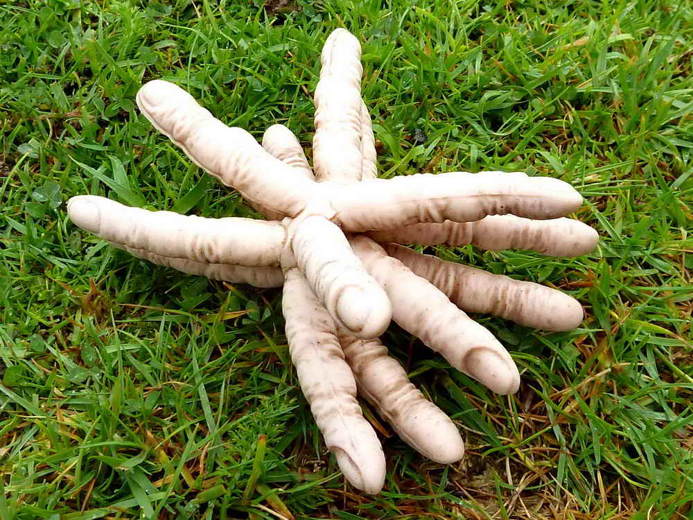
Vixana's snacks: you can learn a lot from this web site!

A fallen bound stone with WB on the upper side, signifying Whitchurch Bounds, where it borders onto Sampford Spiney parish. This appears not to be in Dave Brewer (2002) Dartmoor Boundary Markers, Halsgrove, pages 166-167, where other local bound stones and rocks are described for the area. WB and SB markings on stones in the area can be seen in 20 January 2010 and 3 November 2010.

Ponies under Feather Tor .....

Ponies .....

Ponies .....
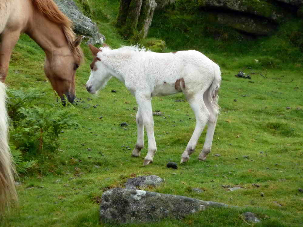
Young foal.
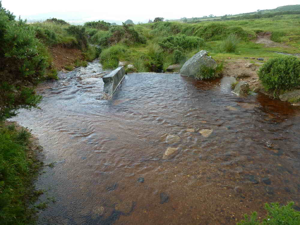
Another leat split-off via a bullseye stone at SX 53324 74276 controlling water flow to Oakley Farm and others.

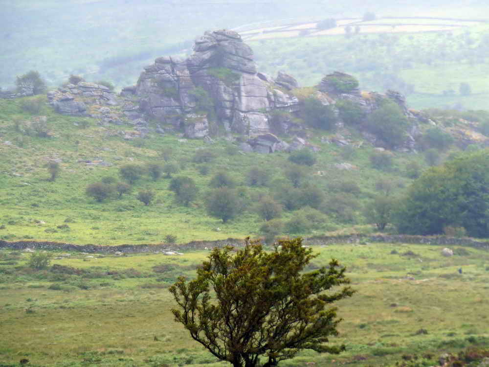
Prowtytown Corner - Prowtytown Rocks, nearby, at SX 528 745, which give a good view over Tavistock.
Another view of the corner, with the northern face of Pew Tor in the background.
View from Prowtytown Rocks with King's Tor and Swell Tor Quarry in the distance.
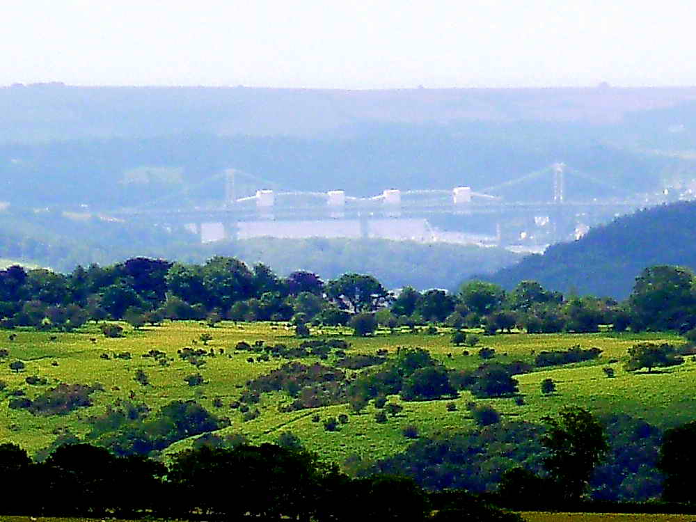
Believe it or not, this is a view to the Tamar road and rail bridges, 18.1 km (11.25 miles) distant.
A possible Bronze Age gateway in a reave/field boundary .....
Looking along an ancient boundary, which bends sharp left not far away.
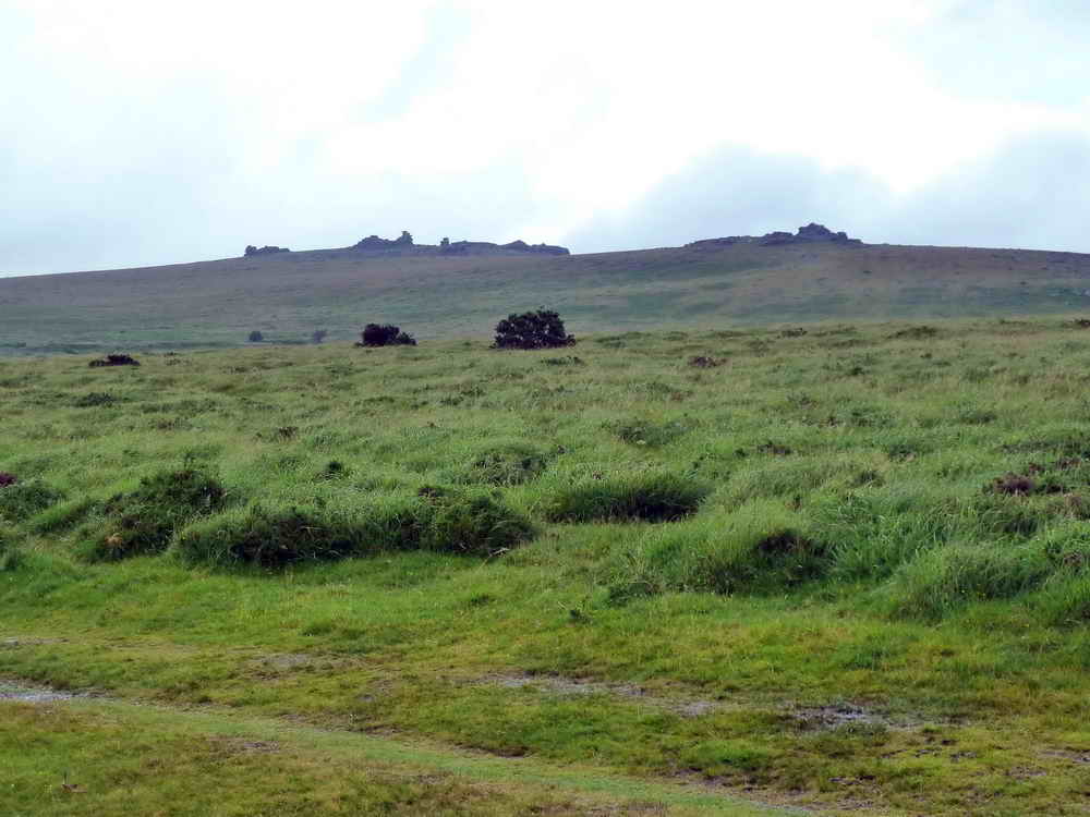
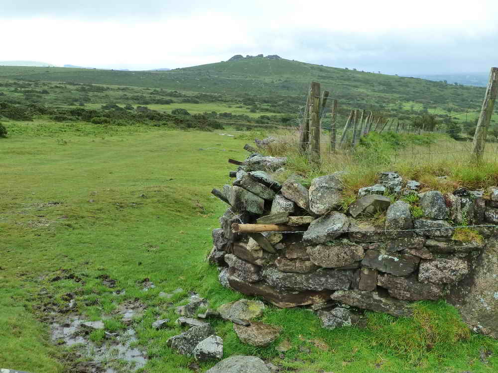
View to the Staple Tors.

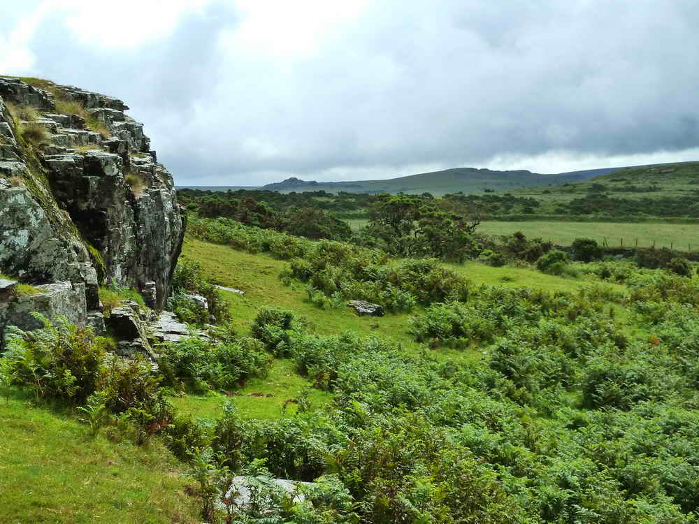
Cox Tor.

Hut circle at SX 5301 7499.

A rook, Corvus frugilegus.
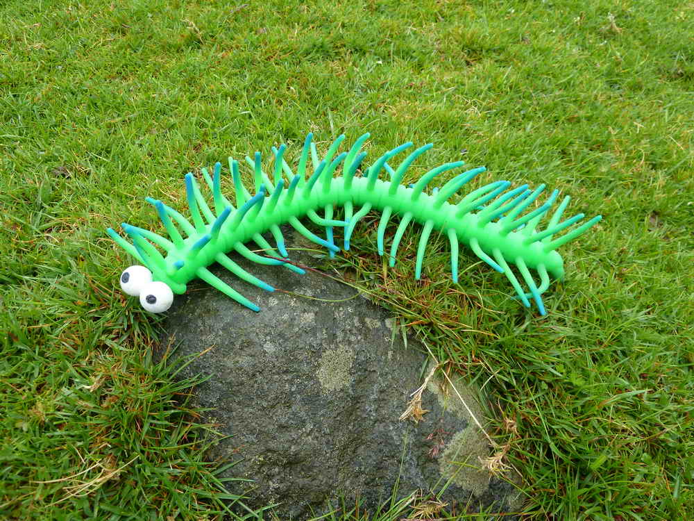
Luckily, our guide spotted a rare rock worm - the sort that makes the short tubular markings that are often see on the edges of rocks all over the moor.
Ahem.
MAP: Red = GPS satellite track of the walk.

© Crown copyright and database rights 2012 Ordnance
Survey
Licence number 100047373
Also, Copyright © 2005, Memory-Map Europe, with permission.
This walk was reached by parking in the
large car park on the south side of the B3357 Tavistock-Princetown road at SX
530 751, marked on the map by the yellow cross.
Statistics
Distance - 3.88 km / 2.41 miles
All photographs on this web site are copyright ©2007-2016 Keith Ryan.
All rights reserved - please email for permissions