![]()


This walk: 2012-5-31. East Rook Gate, rhododendron flower, leat, Rook Tor, china clay works, Penn beacon, triangulation pillar, Shell Top, reave. No-Name Hill (or Shavercombe Head) trig. pillar, Rosalie Stone, Yealm Steps, blowing houses, mould stones, lichen, Hawns & Dendles Waste, cist, Broadall Lake, post-medieval farmstead, Hanger Down Clump.
Walk details below - Information about the route etc.
This is a longer version of the walk done on 6 Feb. 2008.
Link to Google Satellite view of the area - the car parking spot is just right of the white building near the centre of the bottom edge of the map.
This Google Satellite link shows Penn Beacon at the bottom of the image and Shell or Shiel Top at the top edge.

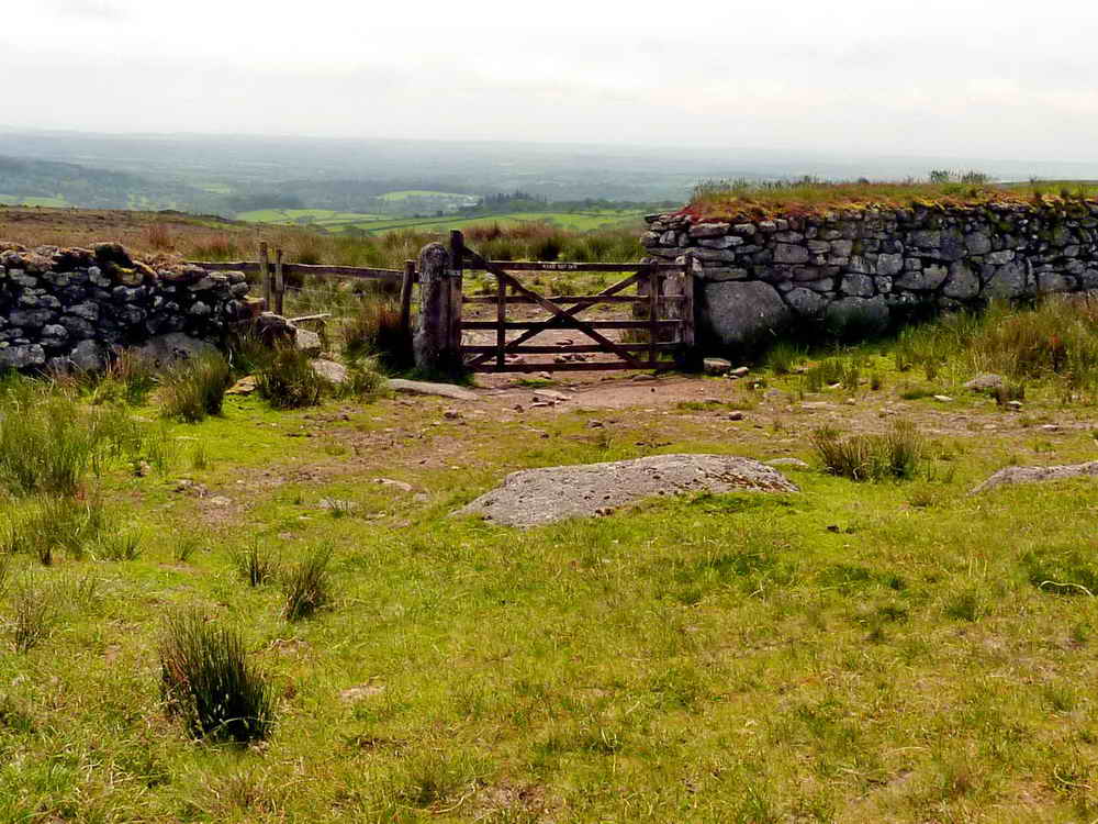
The gate in the lane at East Rook Gate.
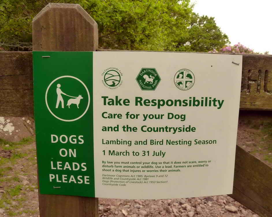
The notice on the gate.

Rhododenron ponticum, the much-admired, menace in the countryside, introduced from the Himalayas or the Iberian Peninsula (according to genetic evidence).

Small stream or leat (because it is dug out?) running east-west across the route to Rook Tor, not on the map.

This is the given area of Rook Tor - hardly a tor at all - disappointing!

A disused leat, looking east .....
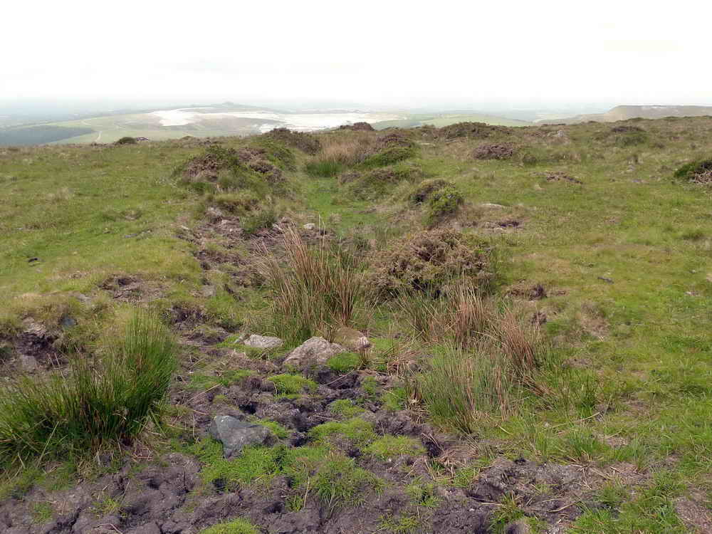
As previous, looking west, at about SX 6010 6255.

Looking towards the china clay works .....

Zoomed view.

Penn Beacon, complete with a beacon ready for the Queen's Diamond Jubilee .....

Another view .....

Penn Beacon cairn, SX 59913 62926, elevation 429 metres (1407 feet) .....

A view showing the hollowed out shelter in the cairn.

A panorama from Penn Beacon (at left), panning right showing (Headon Down China Clay Works, Cholwich Town China Clay Works, Lee Moor China Clay Works (near camera), Wotter Waste China Clay Works (behind, disused), Whitehill Yeo China Clay Works, Shaugh Lake China Clay Works (distant, behind) and around north towards Brisworthy Plantation. Click the image for a larger version.
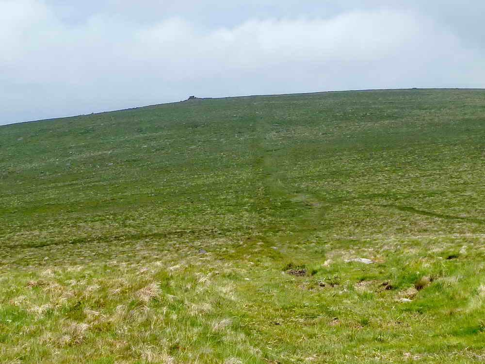
Distant view of Shiel or Shell Top, with a Bronze Age reave running up the centre of the photograph.

Looking back along the reave towards Penn Beacon.

Shell Top, a natural small tor with stones gathered around it in the style of an old cairn, SX 5976 6380, elevation 470 metres (1541 feet).
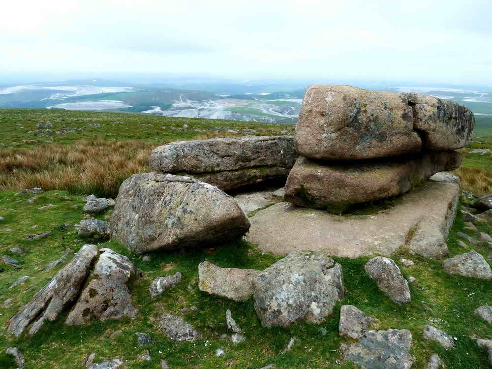
A view from Shell Top towards the china clay workings.
Dartmoor CAM movie.
TIPS .....
A movie of the panorama from Shell Top, starting with Penn Beacon to the south, panning right showing (Headon Down China Clay Works, Cholwich Town China Clay Works, Lee Moor China Clay Works (near camera), Wotter Waste China Clay Works (behind, disused), Whitehill Yeo China Clay Works, Shaugh Lake China Clay Works (distant, behind) and around north to show Brisworthy Plantation. |
|
Click the photo to download File size: 5 MB. Time to download: e.g. 13 secs Length 31 secs |

Showing the cairn-like appearance at Shell Top.
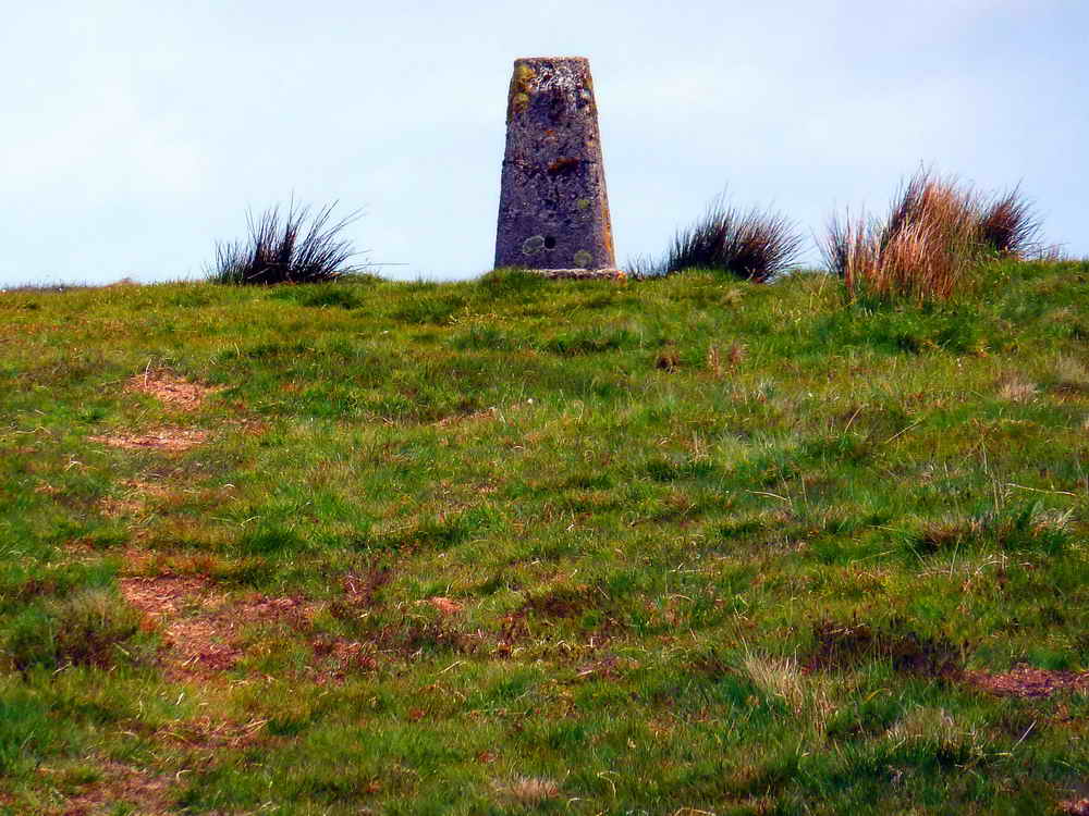
No-Name Hill trig pillar at SX 6026 6450, elevation 492 metres (1614 feet) .....

The place has also been called Shavercombe Head trig point here.

The famous Rosalie Stone at SX 60504 64026, Broadall Gulf, just 180 metres north-west of Broadall Head .....
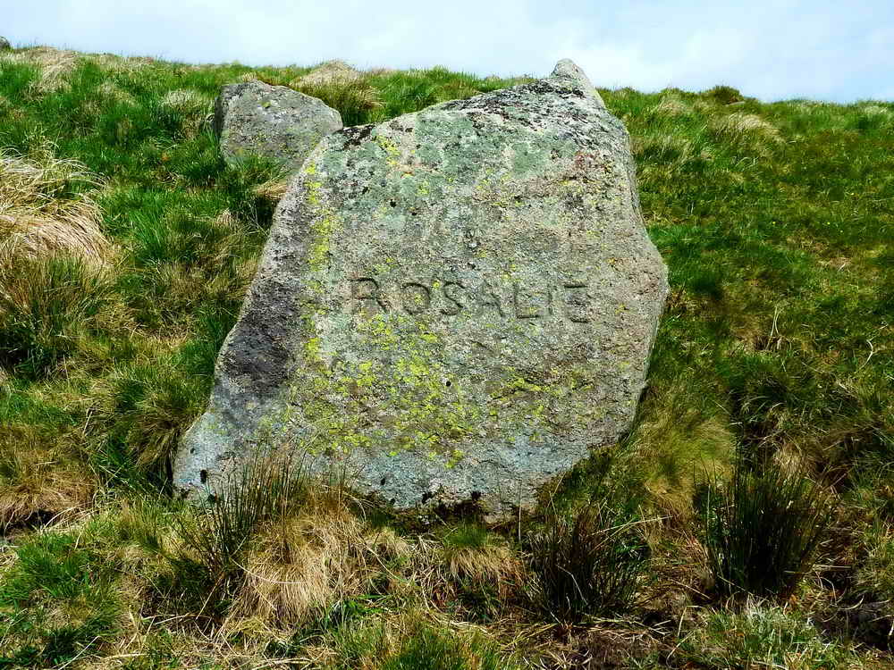
It is not known who Rosalie was, a farmer's or a tinner's love? There are no dates on the stone so it may not be a memorial in the strict sense.
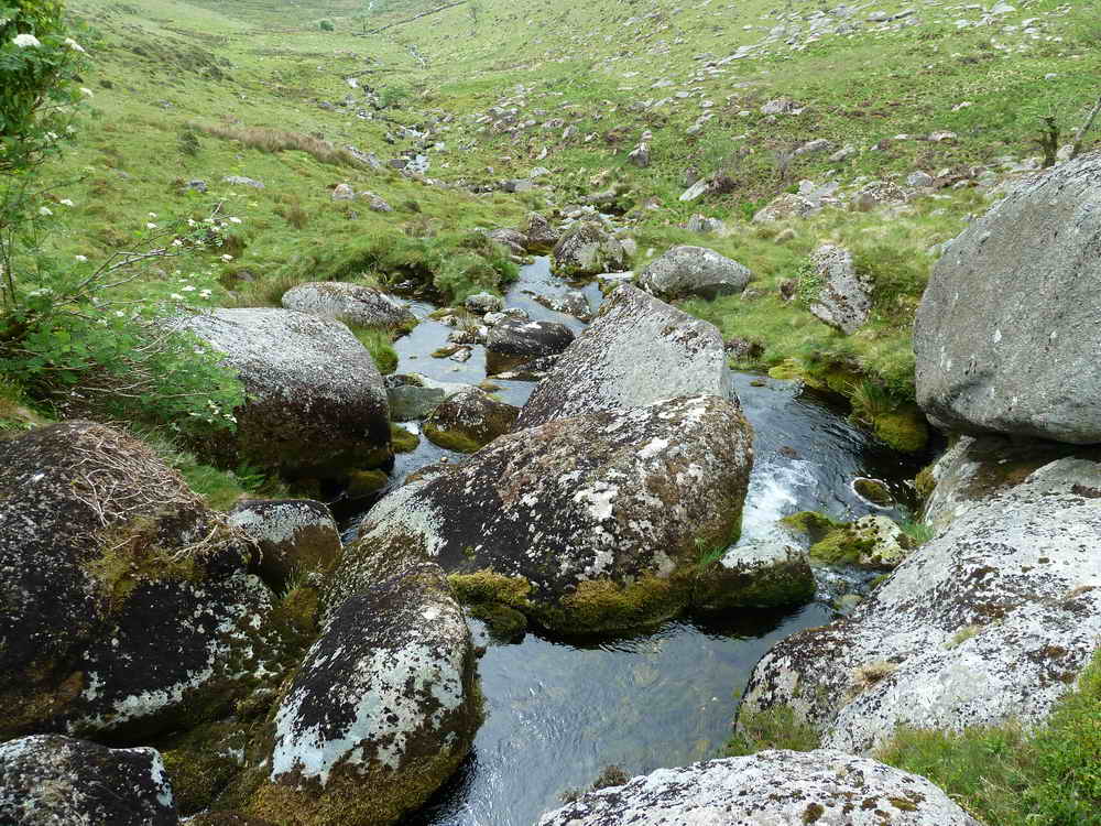
Looking down Yealm Steps and .....

Looking up the head waters of the River Yealm.

Further up the river, looking for the northern blowing house .....

The tinners' blowing house on the west bank of the Yealm at 61718 63853 ..... near the interwined holly and rowan trees ..... as found on a previous walk, it helps to use binoculars to spot the holly tree from high above the river as you approach from the west.

A closer view, with a mould stone at bottom left corner ......
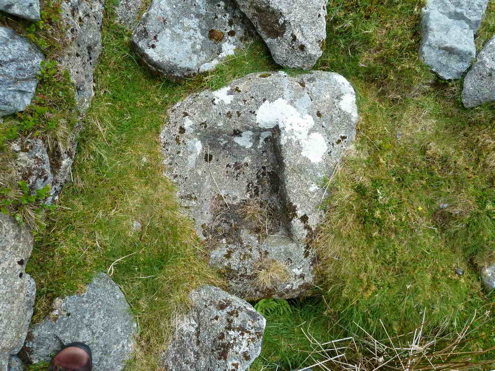
A better view of the mould stone, where the molten tin was cast into ingots.

Near the blowing house, a second mould stone.

Looking back at the Yealm Steps, a small series of "water falls" from the east bank of the river.

Remains of the second, southerly blowing house at SX 61783 63530 .....

As previous, with a double mould stone in the centre foreground (see next photo) .....

The double mould stone.
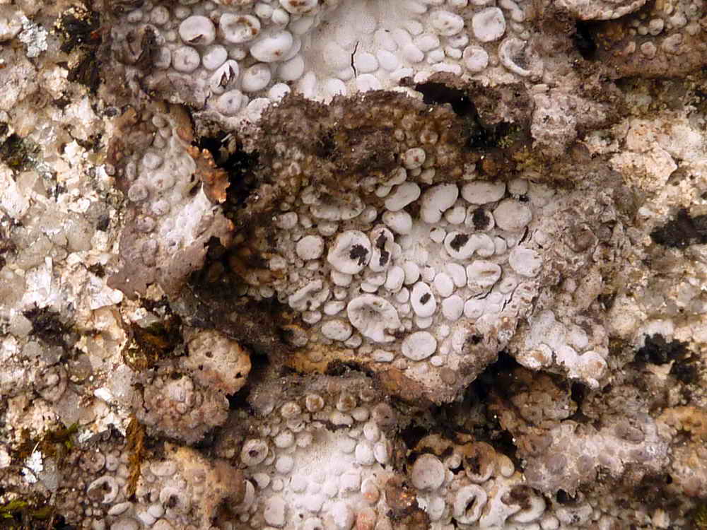
Unidentified black/white lichen .....

As previous photo.
Locked gate with a stile at SX 61483 63320 into Hawns & Dendles Waste .....
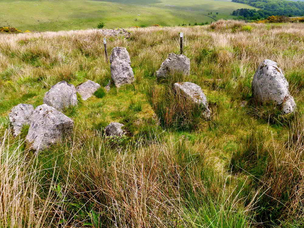
Cist with a cairn circle at SX 61535 62803. this is described by J. Butler (1994), Dartmoor Atlas of Antiquities III, The South West. 52.15 Dendles Waste cairns, page 194 .....
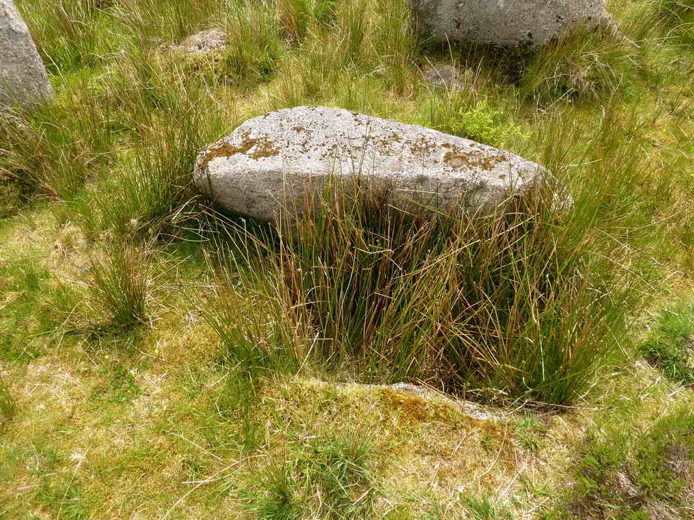
The cist, with one side stone visible and the cover slab or is it one of the retaining circle stones?

Looking over the wall from the north, open moor at hut circles inside High House Waste at approx. SX 610 631.
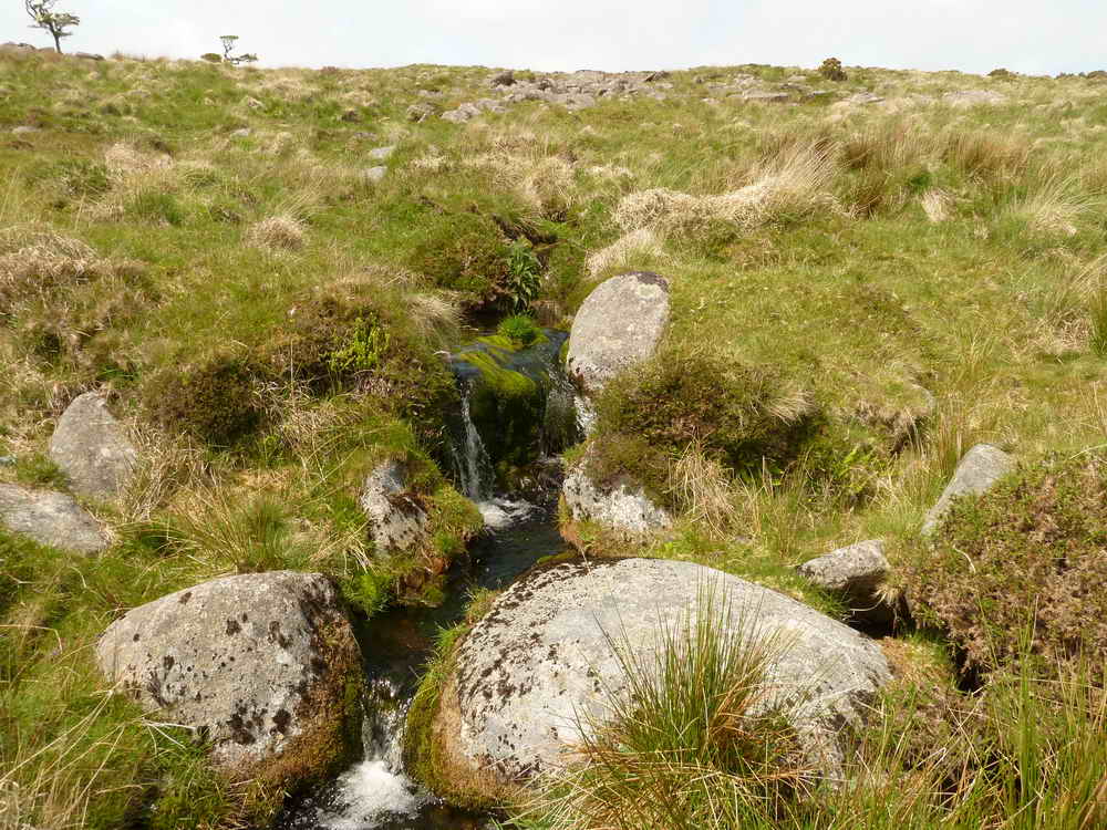
Broadall Lake, running off Penn Moor.
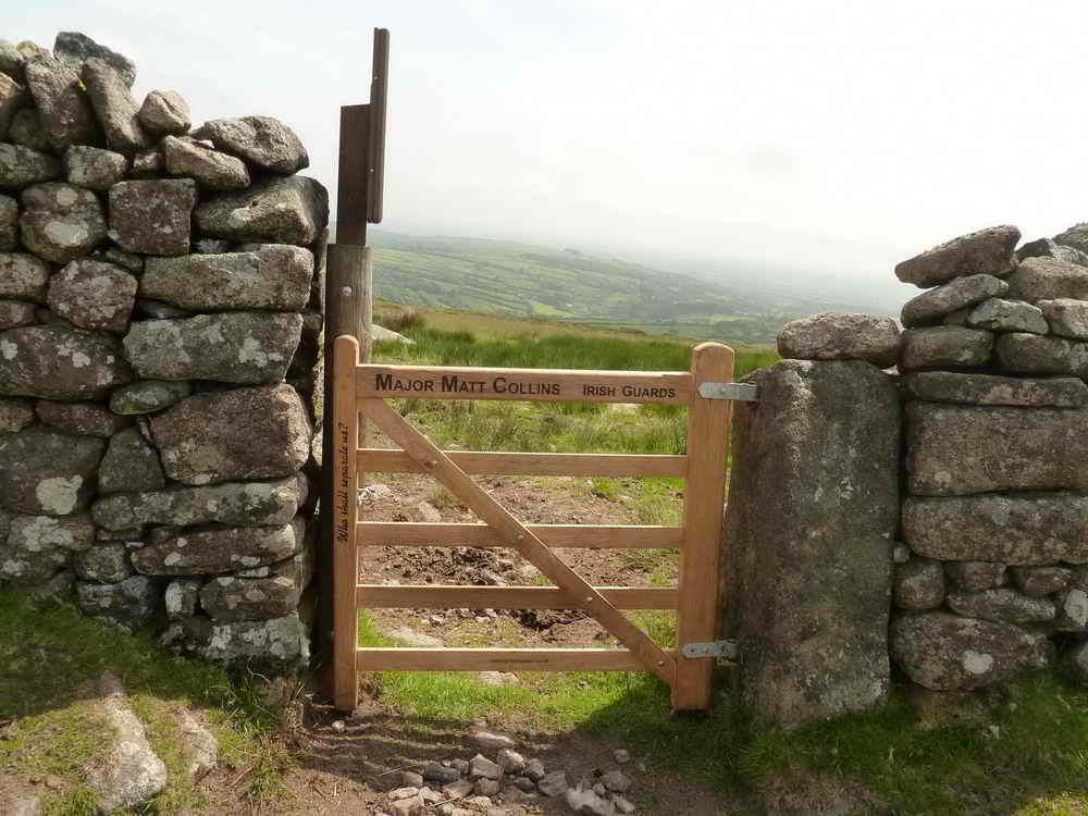
Memorial Gate at SX 6076 6299, into High House Waste .....

The notice beside the gate .... Click the image to see a larger version.

Looking down on the post-medieval farmstead in High House Waste .....

The farmhouse .....
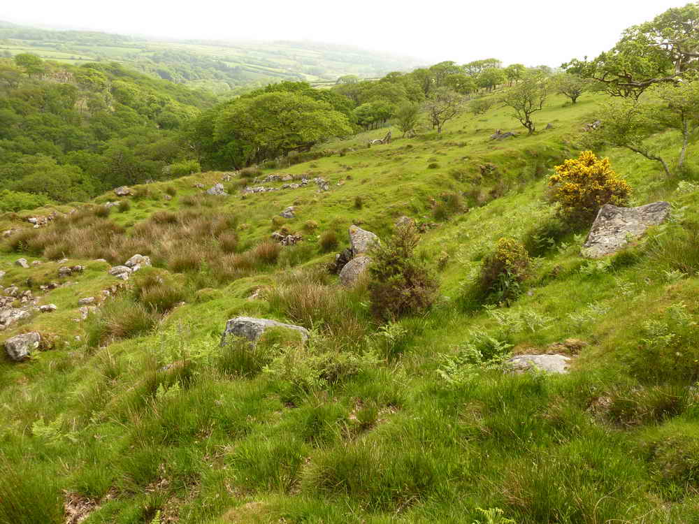
Adjacent fields.
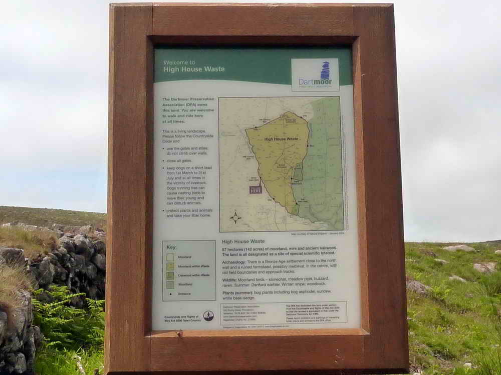
Entry notice by the west gate into High House Waste, owned and managed by the Dartmoor Preservation Association. Click image to see a larger version.

The west gate into High House Waste, with Ford Brook running down from left to right in the foreground.

A view to Hanger Down Clump, at SX 6215 5852.
MAP: Red = GPS satellite track of the walk.
![]()
© Crown copyright and database rights 2012 Ordnance
Survey
Licence number 100047373
Also, Copyright © 2005, Memory-Map Europe, with permission.
This walk was reached from Plymouth by turning off the A38 at Lee Mill and turning left, passing the large Tesco superstore, driving to Cornwood, turning right in the village, then first left up the very narrow Rook Lane to the end of the road at Hilson's Brake. There is very limited parking on the roadside, at the yellow cross on the map.
Statistics
Distance - 11.97 km / 7.44 miles
All photographs on this web site are copyright ©2007-2016 Keith Ryan.
All rights reserved - please email for permissions
