![]()


This walk: 2012-5-16. Mill stone, hut circle, pound wall, Vixen Tor, Merrivale double stone rows, menhir, King's Tor, Great Mis Tor, Great Staple Tor, logan stone, feather and tare rock splitting, CW2 china clay sett boundary stone, Hucken Tor, pennywort, lousewort, bluebell, lesser celandine, wood sorrel, Little Wonder Bridge, Pila Brook, gate hanger stone, explosives store, Grey Down Quarry. TA stone.
Walk details below - Information about the route etc.
Link to Google Satellite view of the area - this should zoom in to the Long Ash Leat (built 1880's) running between the two double stone rows. You can zoom out and move around to see more of the area using the thumbwheel or on-page controls.
A walk on 6th April 2011 saw some of the items seen today and the same route as today was followed on 14th July 2010.

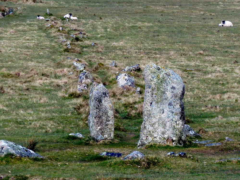
Abandoned mill stone, at SX 55519 74944 .....

Nearby hut circle .....

Another view of the mill stone, laying close to the wall of a pound / enclosure.

Looking up the slope to the ceremonial centre .....

Another hut in the group near the road, with the stone rows on the skyline.

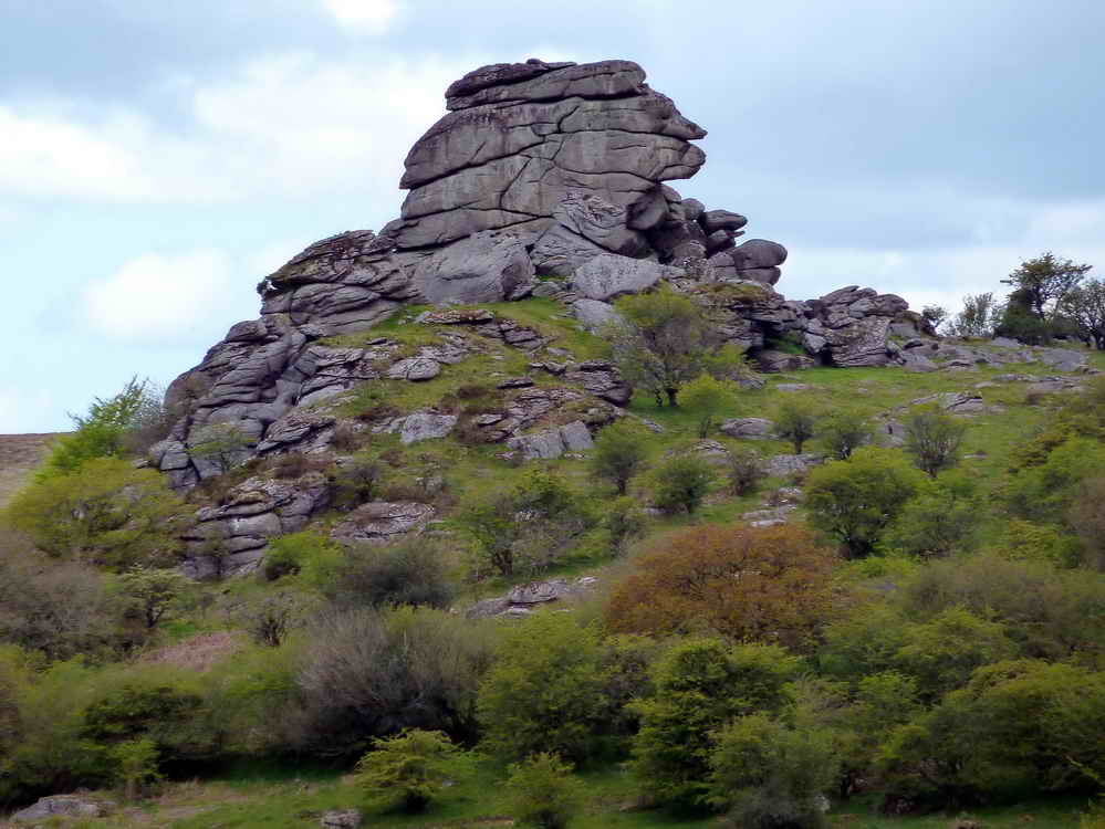
Vixen Tor, SX 542 742, elevation 317 meters (1040 feet). The stack is about 30 metres (100 feet) in height.
The northern double stone row at Merrivale ceremonial centre, described by J. Butler (1994), Dartmoor Atlas of Antiquities III, The South West. 44.8, pages 23-32. A blocking stone was at the far (western) end and and a cross slab is set nearest the camera, this row is 183 metres in length .....
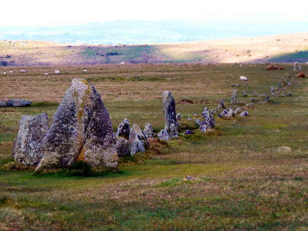
The southern double stone row, 263 metres, with a triangular blocking stone nearest the camera, with the next five stones also set crosswise. The area was known as The Plague Market, following an outbreak of bubonic plague in Tavistock in 1625. Farmers left food here for the inhabitants. The link is worth exploring by clicking in the black and white map and following the instructions - there is a lot of information about Merrivale.

A nearby standing stone or menhir, marked on the map below.

Showing the relationship between the standing stone and the longer southern double stone row.

King's Tor, SX 556 738, elevation 400 metres (1312 feet).

Another view of Vixen Tor.

Zoomed view to Great Mis Tor, SX 563 769, elevation 538 metres (1765 feet).

Zoomed view to Great Staple Tor, SX 542 760, elevation 455 metres (1492 feet). Merrivale Quarry can be seen at lower left.
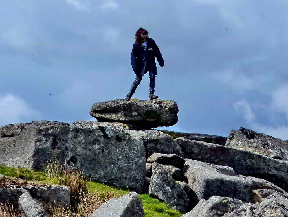
The small logan stone at SX 5534 7391 ..... "A rock which, through weathering, has become disjoined from the parent-rock and is pivoted upon it... Such rocks can be 'logged', set in motion without fear of their over balancing." (citing Hemery on Legendary Dartmoor - Logan Stones). A video of the stone rocking can be seen here: 23rd July 2010 (the movie is halfway down the page).
Looking at King's Tor (Little King's Tor) from due west, we were on the old horse-drawn tramway and at the top of the near slope (about halfway down the photo) is the cutting for the more recent steam railway. This was necessary because the engine needed a more gentle curve around the tor.

Looking back towards Princetown. A bridge can be seen, one of a few, that enabled livestock to cross the line (i.e. embankment).
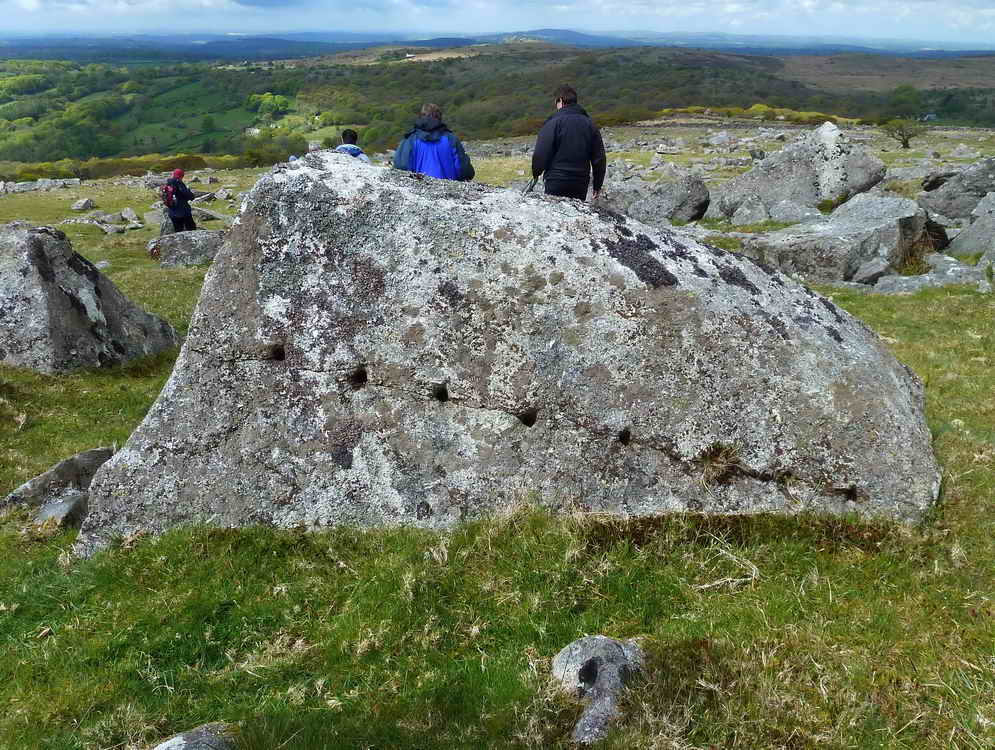
A stone at SX 55332 73828 that was drilled by the feather and tare method for splitting. There appears to be a crack along the desired line .....

There is also a crack spreading in from about halfway down the right edge, again apparently along the line of holes.
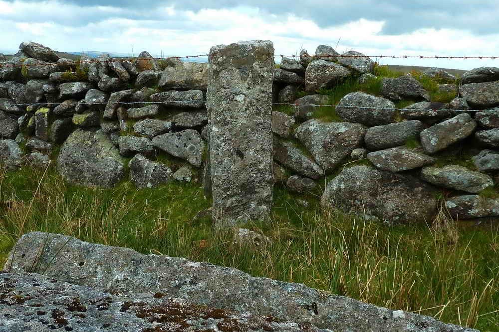
"CW 2" - one of a series of china clay sett boundary stones for Yes Tor Bottom china clay works. ....... "granted by Sir Ralph Lopes, to George Stone Baron of Plymouth, a lease dated 19th September 1835, permitting the digging of china clay for twenty-one years 'on certain lands in Walkahampton' ...... another bound stone inscribed CW/2 on the western side of Little Kings Tore" ..... One of two survivors of seven stones. Source: Dave Brewer (2002) Dartmoor Boundary Markers, Halsgrove, pp. 239-241.
It must be The Eddystone, like mother, like daughter.

Make up your own caption!

CW2, in close-up.

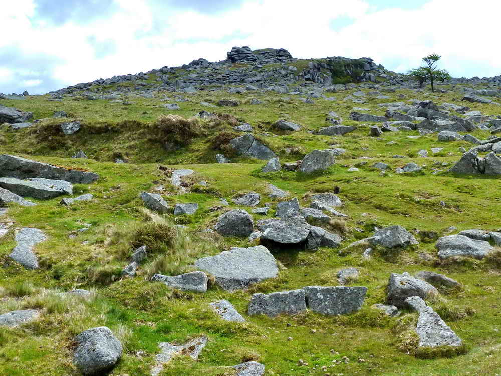
Looking along the ridge that is Hucken Tor, SX 549 738, also called Hook-in-Tor, Okel Tor, Hulkynctore ..... Possible etymology: Oak Tor - Oaken Tor - H'woaken Tor - Hucken Tor (Source: Eric Hemery (1983), High Dartmoor, Robert Hale, London, page 542).

"Pennywort", is it Marsh Pennywort (Hydrocotyle vulgaris)?

Beached dolphin ......
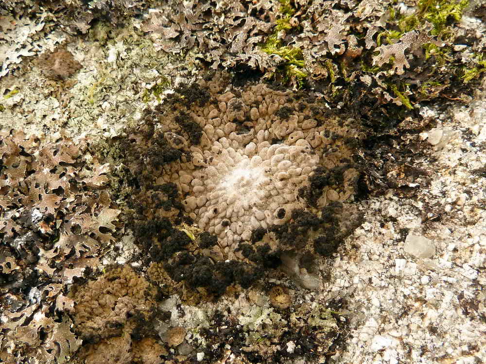
Dolphin's eye (unidentified lichen).
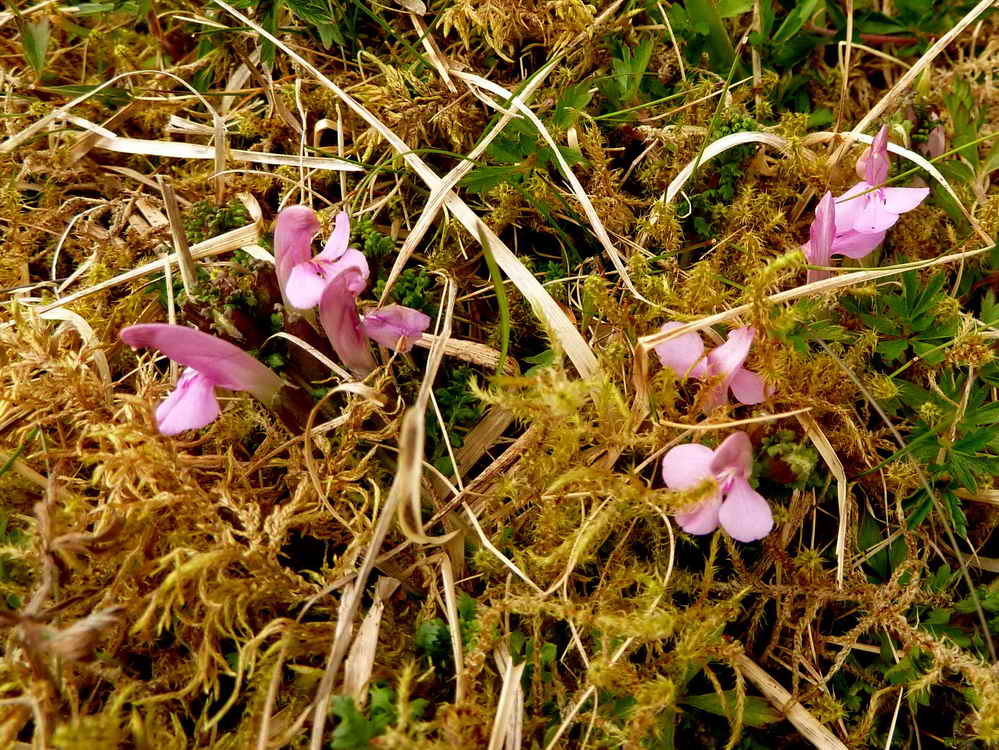
Common Lousewort, Pedicularis sylvatica.

Another view of Hucken Tor.

As previous photo.

Common Bluebell, (Hyacinthoides non-scripta; other names: Endymion non-scriptum, Scilla non-scripta and Agraphis nutans).

Lesser celandine, Ranunculs ficaria.
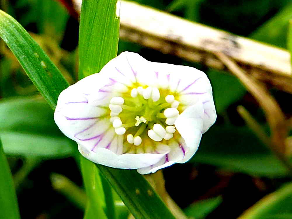
Probably common or creeping wood sorrel, Oxalis acetosella .....

Shown with leaves .....

Fully open, with a holed petal.

Showing something of the ancient looking wood on this tor, similar to those at Whistman's Wood, Piles Copse and Black-a-Tor Copse - however, these are pedunculate oaks rather than sessile ones (i.e. the acorns are borne on stalks here rather than sitting on the twigs without stalks).

A pair of old gate posts, with an iron hangers on the left and an iron ring on the right.
Vixen Tor, again.
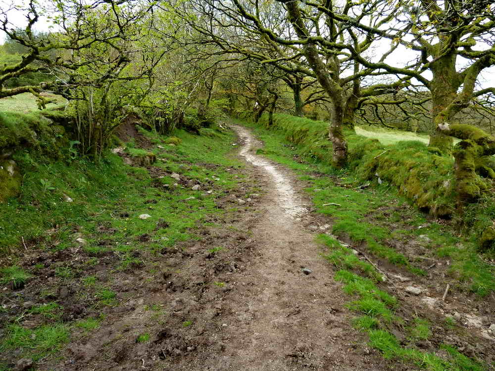
Looking back along the path down from Long Ash Woods.

Little Wonder Bridge, over the Pila Brook. It is said locally to be a wonder because no matter how much water is rushing down the brook, there is always eight feet of headroom under the bridge.
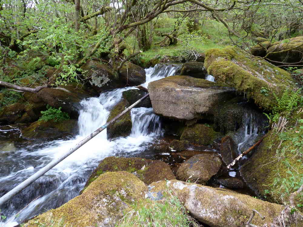
Pila Brook.
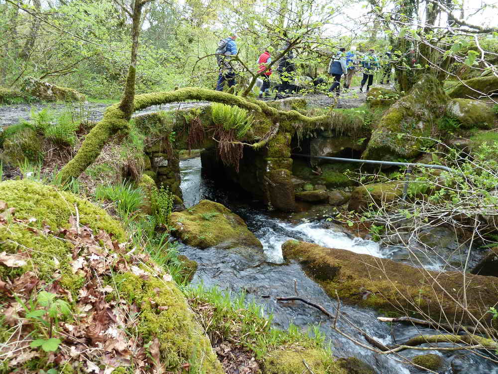
Another view.
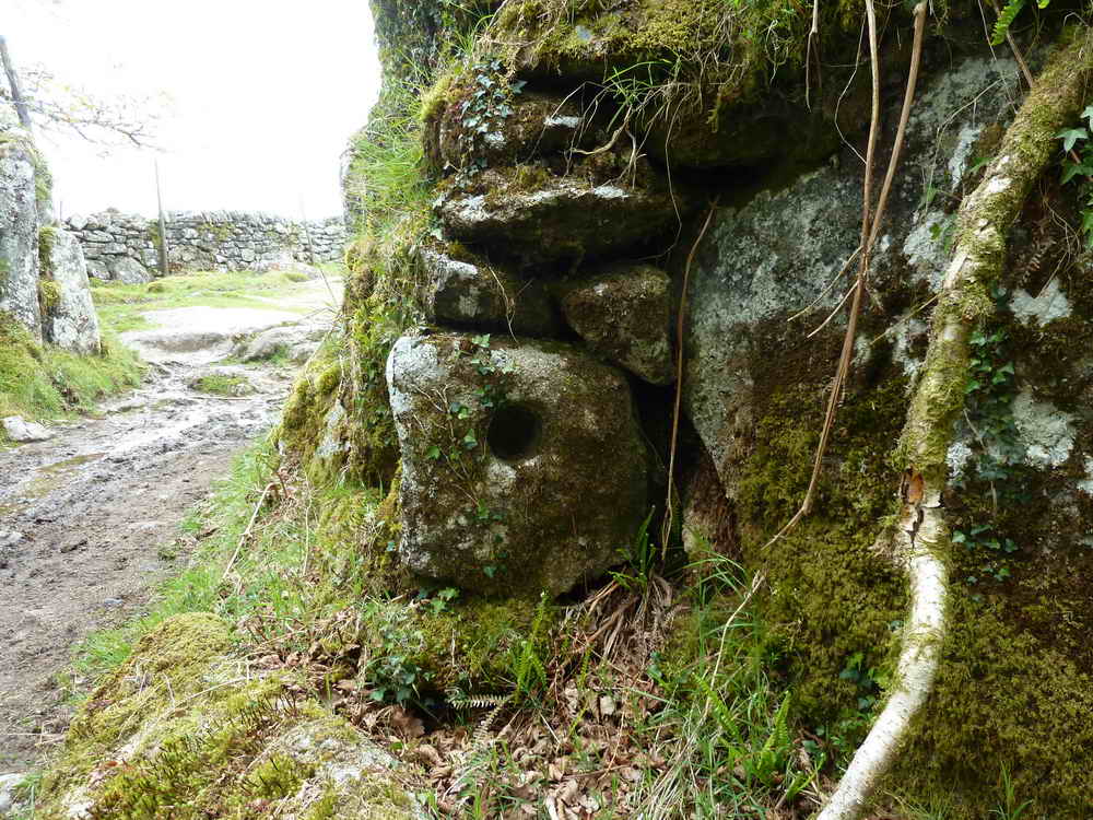
A gate hanger stone, once used as a hinge at the top or bottom of the gate. Here, it is simply used as a building stone .....

A closer view.

Zoomed view to the old explosives store at Merrival Quarry.

Grey Down Quarry, at SX 54956 74705. This may have preceded Duke's (Merrivale) Quarry.
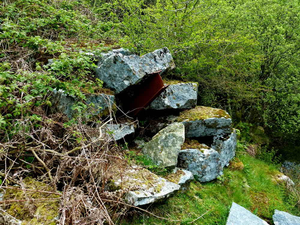
I wonder what this girder did?
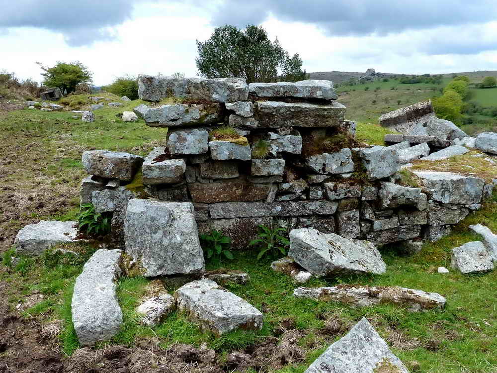
A piece of walling still remaining.
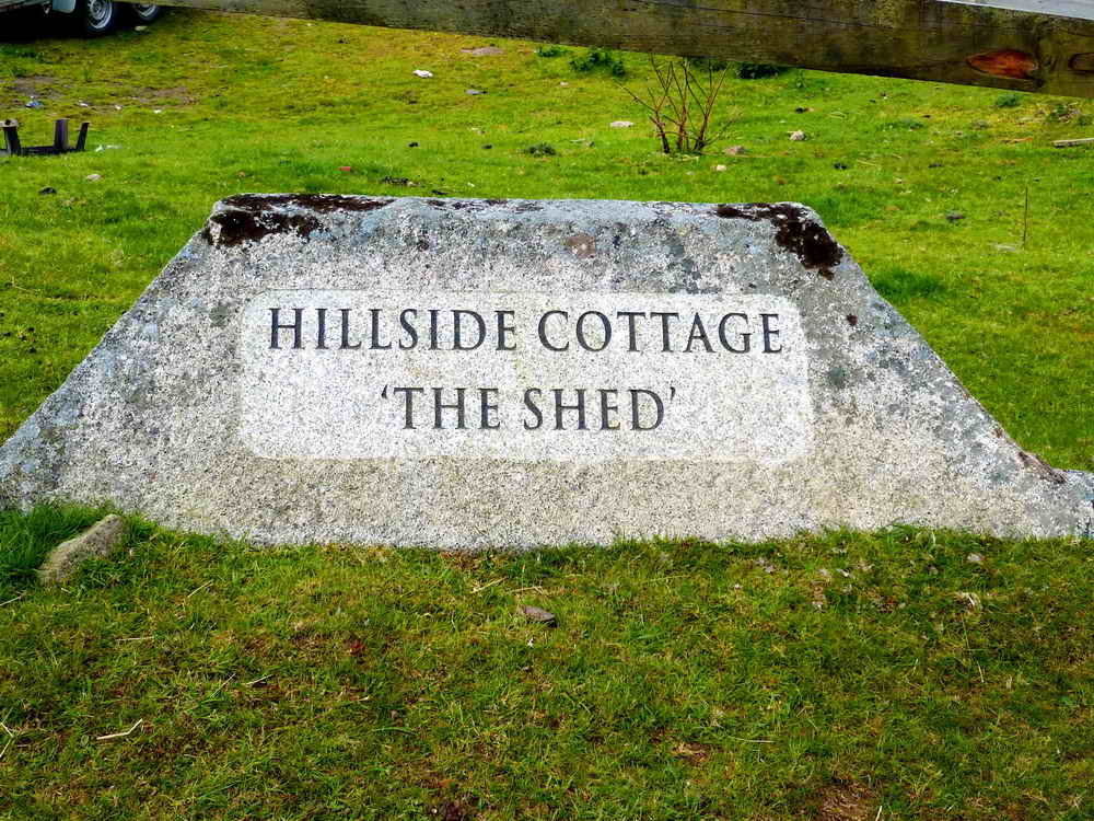
If you are going to have a name plaque for your house, this is the way to go!

Parting shot?

TA stone on the roadside, at SX 55193 75014, up the hill towards the car park.
MAP: Red = GPS satellite track of the walk.

Ordnance Survey © Crown copyright 2005. All rights reserved. Licence number
100047373.
Also, Copyright © 2005, Memory-Map Europe, with permission.
This walk is accessed from the P symbol car park marked with the yellow cross right beside the B3357 at Merrivale, between Tavistock and Princetown.
Statistics
Distance - 4.33 km / 2.69 miles
All photographs on this web site are copyright ©2007-2016 Keith Ryan.
All rights reserved - please email for permissions