![]()


This walk: 2012-3-28. Magpie or Bedford Bridge, River Walkham, Wheal Franco copper mine, brick works, Screw Bridge, moss, minotaur dung beetle, daffodils, Old Station Road, Magpie Viaduct.
Walk details below - Information about the route etc.

Briefing in the car park - close to Bedford or Magpie Bridge over the River Walkham, built 1822. There was a tall white building to the right, which was the King's Arms in 1850 but Crossing knew it as The Magpie Inn. Nearby Magpie Mill produced violin strings. This area is also rich in remains from the Wheal Franco copper mine, 1823-1875, which was very productive, employing around 130 men and going down to 160 fathoms (960 feet). There was also a brick works in this area.

Spoil from the brick works gives a red colour to the soil .....

Closer view.
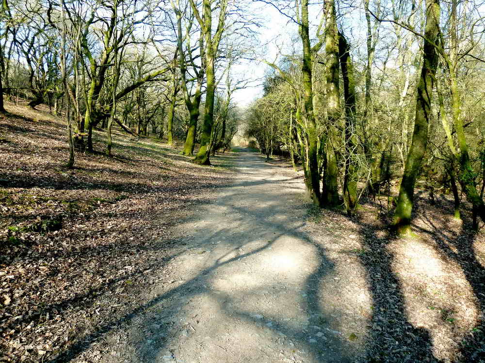
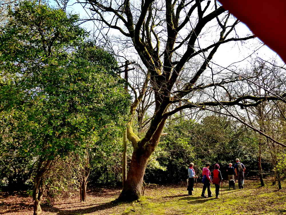
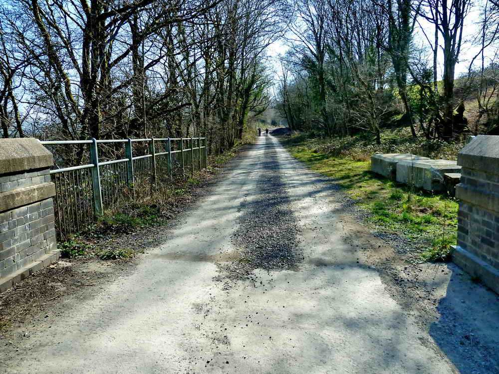
The pat ahead through the early part of the woodland path, a disused railway.

A look through the mature woods.

Another look ahead.

Whoops - the camera was fooled into not focussing on the catkins!

Screw Bridge, possibly a corruption of Skew bridge, where the bridge does not go straight across the obstacle but at an angle? Seen from below, the bridge is sloped across the old railway track.

Another view.

Looking down on the slick wheel marks in the mud made by heavy traffic going to Gem Bridge, currently nearing the completion of its rebuilding.
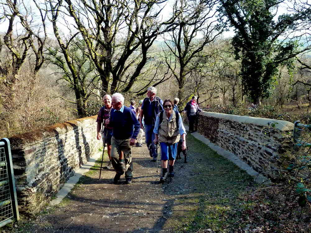
Our merry band crossng the bridge.
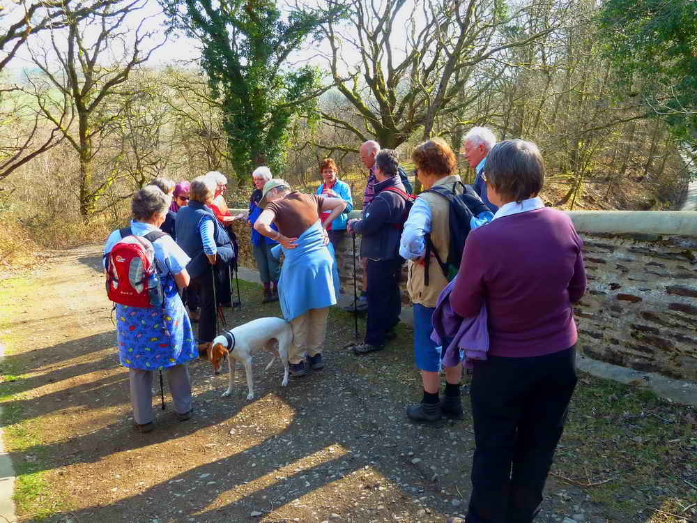
A re-telling of local history.

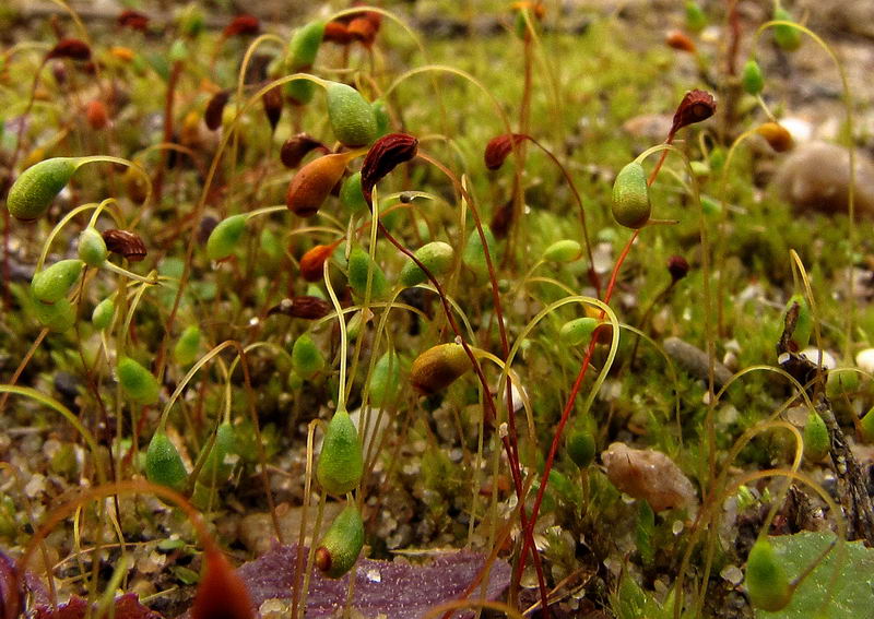
Unidentified moss growing on the parapet of Screw Bridge, possibly a species on Funaria.

Minotaur beetle, Typhaeus typhoeus, a type of dung beetle. The thorax has ornate extensions - this one, with the huge horns, is a male. I am grateful to Sarah Beynon, Oxford, for the identification. It's worth clicking this link for a few minutes, sound-wise! Also, Sarah on You Tube, very educational - reminds me of myself, when young!

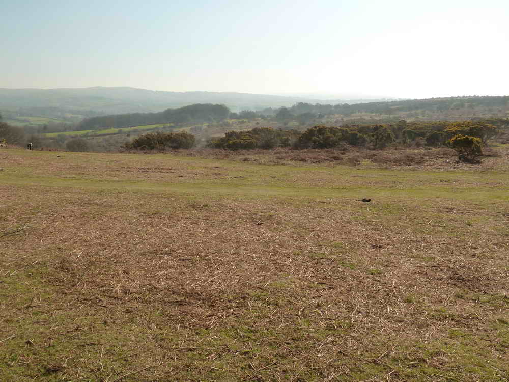
A scene on Roborough Down, exploited over the eons, with Roman, British and Saxon remains, worked for its wood and then with field systems superimposed on the area, with ridges furrows, lynchets and lazy beds.
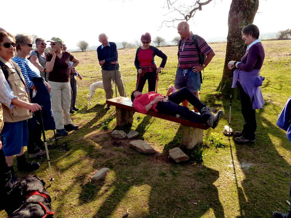
The best way to rest under a tree!

Wild daffodils growing around a bench .....
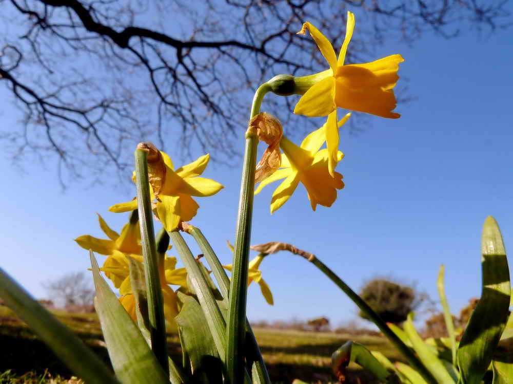
As previous photo.
An area of gorse recently turned into islands by members of Dartmoor Preservation Association for the benefit of the rare High Brown Fritillary butterfly.

Smiling in the sun.

Vaguely artistic?
Telephone pole growing out of a tree .....
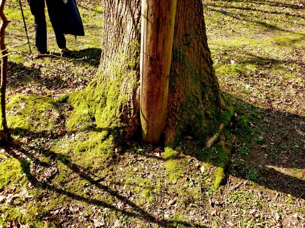
See!
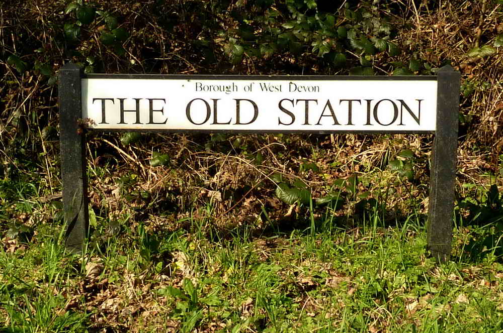
The Old Station road in Horrabridge .....

Looking along the road.
Looking back from Magpie Bridge .....
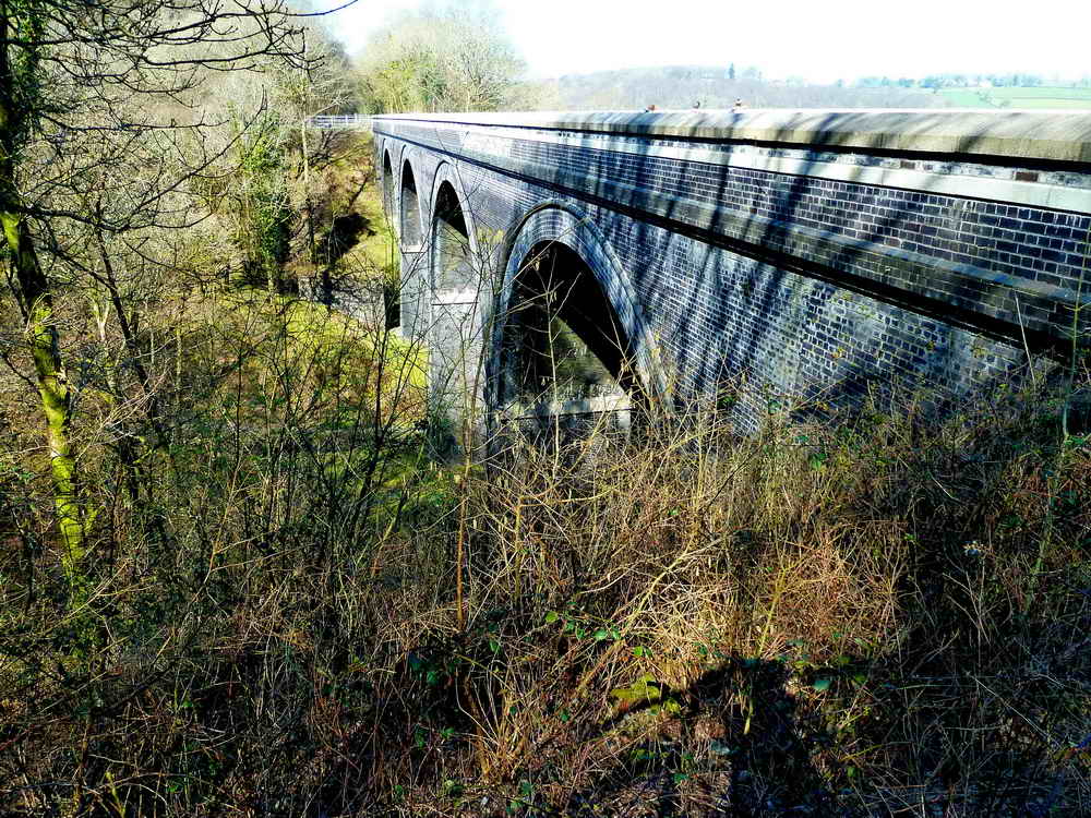
View of Magpie Viaduct ..... 216 yards long, 62 feet high, originally built 1856-1859 by Brunel, replaced 1902 with blue Staffordshire brick. The original brick-built piers can still be seen to the left, these supported timber trestles that carried the track bed. The viaduct is now part of the "27" Sustrans cycle track.
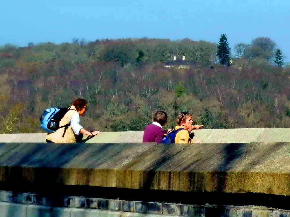
Lookers looking.

Who's shadow is that?

A sawn-off tree stump.

Hi-ho, hi-ho, its off to work we go?

Not us, pal, we're looking for the local hostelry!

Two sheep, taking no notice of us walking by.

An area of Wheel Franco � very productive and important copper mine, 1823-1875. Initially, it was worked on west side of road to a depth of 160 fathoms. 130 men were employed. Later, it was worked on the east side of road, doubling production.
MAP: Red = GPS satellite track of the walk.

Ordnance Survey © Crown copyright 2005. All rights reserved. Licence number
100047373.
Also, Copyright © 2005, Memory-Map Europe, with permission.
This walk was easily accessed from the car park (marked with the yellow cross and the P symbol on the map) which is right beside the A386 Horrabridge to Tavistock road, at the bottom of the hill after Horrabridge just before the bridge over the River Walkham.
Statistics
Distance - 4.98 km 3.1 miles.
All photographs on this web site are copyright ©2007-2016 Keith Ryan.
All rights reserved - please email for permissions