![]()


This walk: 2012-2-15. Narrator Farm ruins, blocked gateway, Narra Tor, Joey's Lane, Burrator Reservoir, hawthorn tree, Sharpitor, Leather Tor, rabbit bury (pillow mound), St. Leonard's Church, Sheepstor, Maiden Tor, Sheepstor Warren House, Pixie's Cave, Sheep's Tor, Plymouth Breakwater, Scout Hut, Gutter Tor, Hen Tor, Yellowmead multiple stone circle, hut circle, PCWW 1919 water catchment boundary stone, crows on sheep.
This walk was repeated the following day, 16 Feb. 2012, starting in the same direction, then climbing what we are calling Narra Tor (above the ruins of Narrator Farm), then to the top of Sheep's Tor, proceeding to Rough Tor, back around the flank of Sheep's Tor in the opposite direction to this walk.
Walk details below - Information about the route etc.

Among the ruins of Narrator Farm ..... the signpost says .....
| PUBLIC BRIDLE
PATH SHEEPSTOR VILLAGE |
PUBLIC
BRIDLEPATH SHEEPSTOR |
|
|
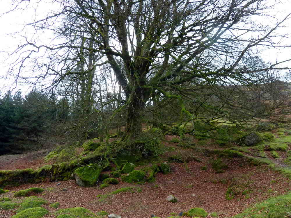
A large tree, if only I could have fitted it all into the photo!

A blocked gateway .....

Liz's great Dartmoor discovery - her money box? It was in Narrator Farm, in 1850, that John Bayly lived, as lord of the manor of Sheepstor.

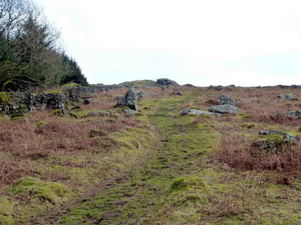
The path ahead skirting the south-west and southern flanks of the tors .....

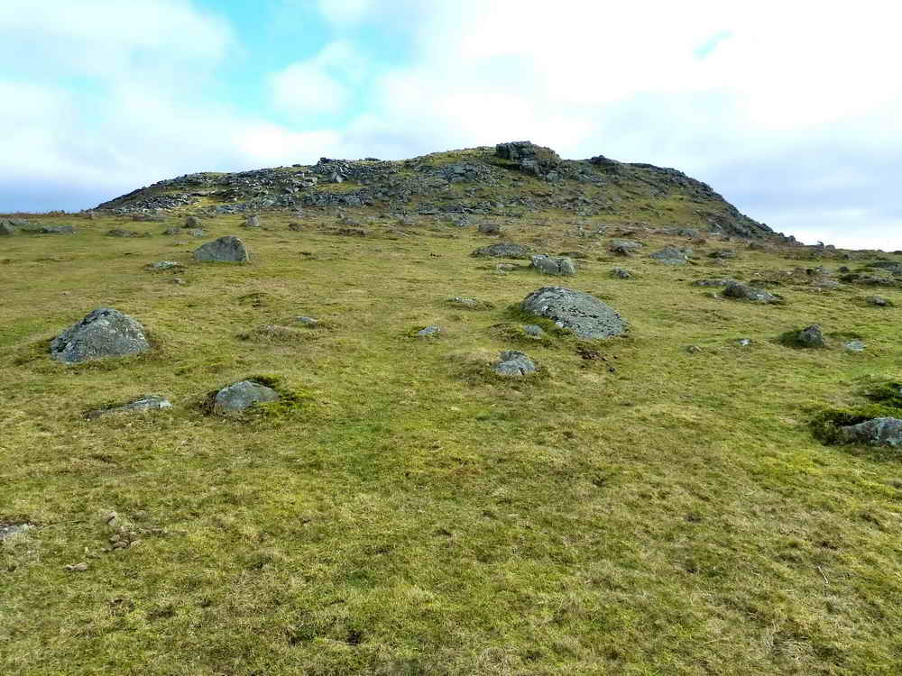
Looking up to Narrator, or was it Narra Tor?

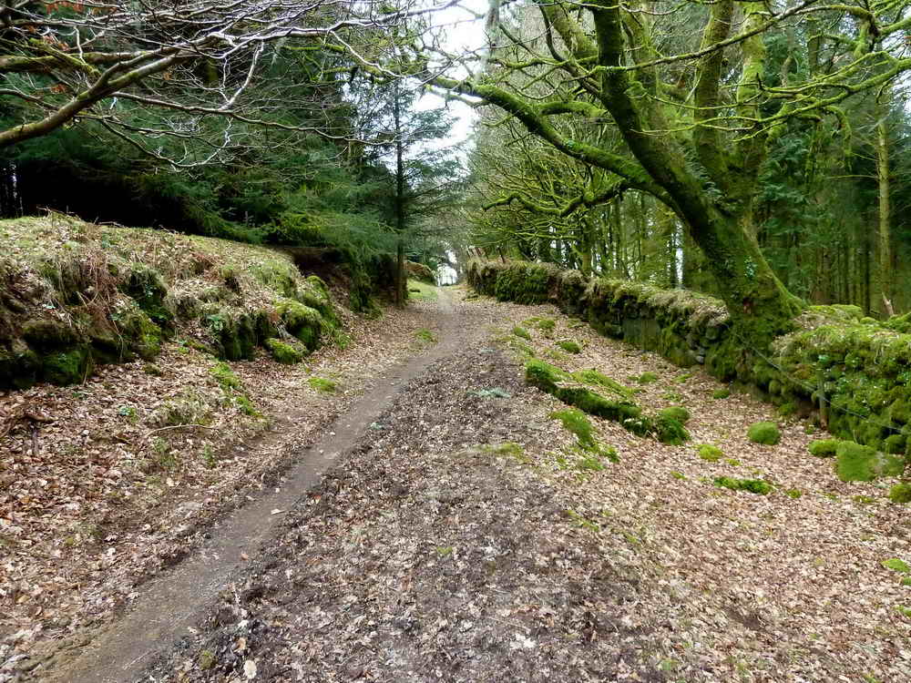
More path ahead ..... entering Joey's Lane, an old packhorse route (with a passing place half-way along) between the walls of enclosures, Source: Eric Hemery, High Dartmoor, page 160 .....
As previous photograph.
Narra Tor again.

Taken for the colour of the trees across Burrator Reservoir.
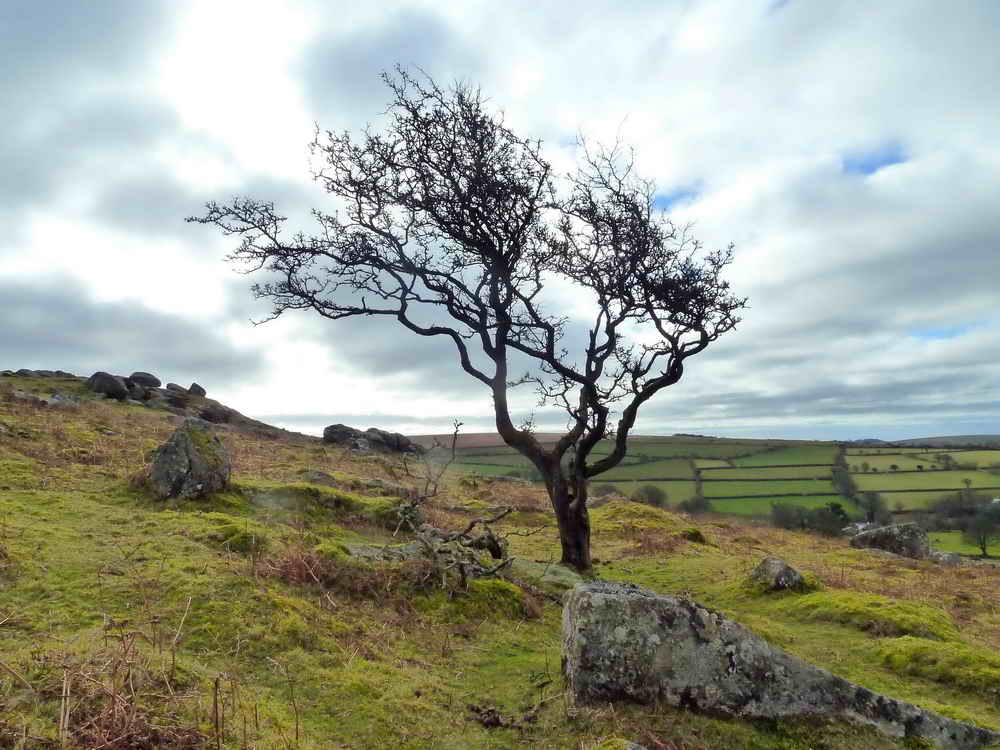
A lone, weather-beaten hawthorn tree.
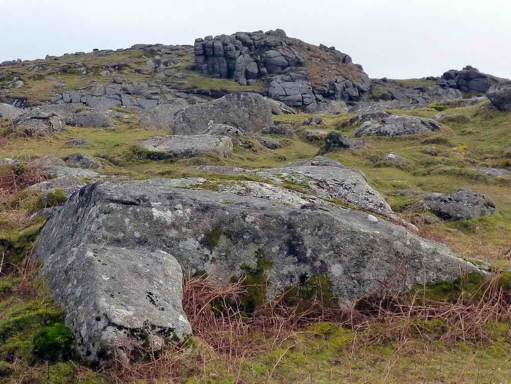
An outcrop of Narra Tor, or is it un-named, being a little way around the flank of the Sheep's Tor complex of outcrops (see map below)?

Looking across Burrator, the earth dam is down to the left and the main dam is out of sight to the far left.
Spurs of the Sheep's Tor complex.

Sharpitor at left, SX 560 703, elevation 410 metres (1345 feet) with Leather Tor at the right, SX 563 700, elevation 380 metres (1246 feet) looking across to Cross Gate (cars, near centre of image).

Rabbit bury ("Pillow Mounds" on the map) from the old Sheepstor Warren House where rabbits were bred later for sport, at the end of WW1 .....

St. Leonard's Church, Sheepstor.

Rock Basins at SX 56292 68130, up the slope from Maiden Tor, SX 5620 6810, a minor tor marked on the Harvey map but not on Ordnance Survey maps.

A "recent" rabbit bury, not one from the days of the tinners.

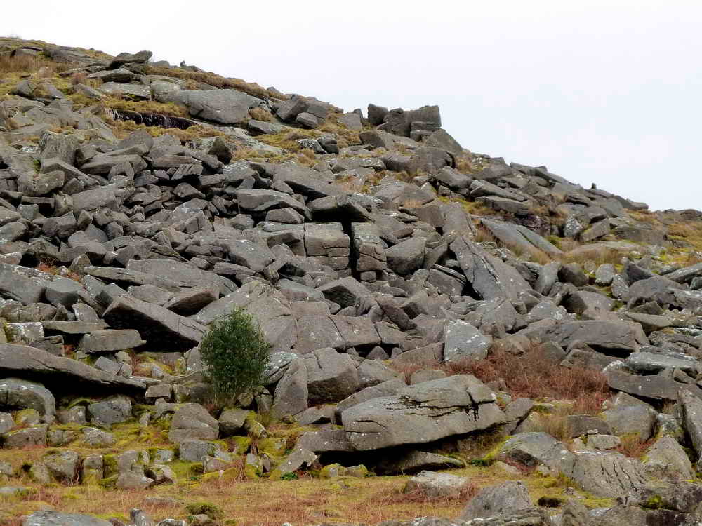
Another view of the prominent outcrop on the south-west side of the Sheep's Tor complex.

As previous photo.

The ruins of Sheepstor Warren House, mentioned on .....

Zoomed view.

Pixies Cave, underneath the vertical fissure in the cuboid rock in the centre of the photograph .....

Zoomed closer .....

Zoomed closer still. The cave has been visited previously on 4th April 2010 (whole web page) and 7th July 2011 (at the end).

A rock wall on Sheep's Tor beloved of climbers.

Zoomed view towards the Plymouth Breakwater, showing the central fort and the lighthouse at the right end. The ship is probably the RFA Mount's Bay (auxiliary landing ship dock) according to the Plymouth Queen's Harbourmaster's Daily Shipping Movements for this day, sailing from C Bouy to sea at 1800 h.

Another view of the rock wall.

View to Roughtor Plantation where Rough Tor hides on the top of the hill, visited on 21st January 2012 (near end of the walk).
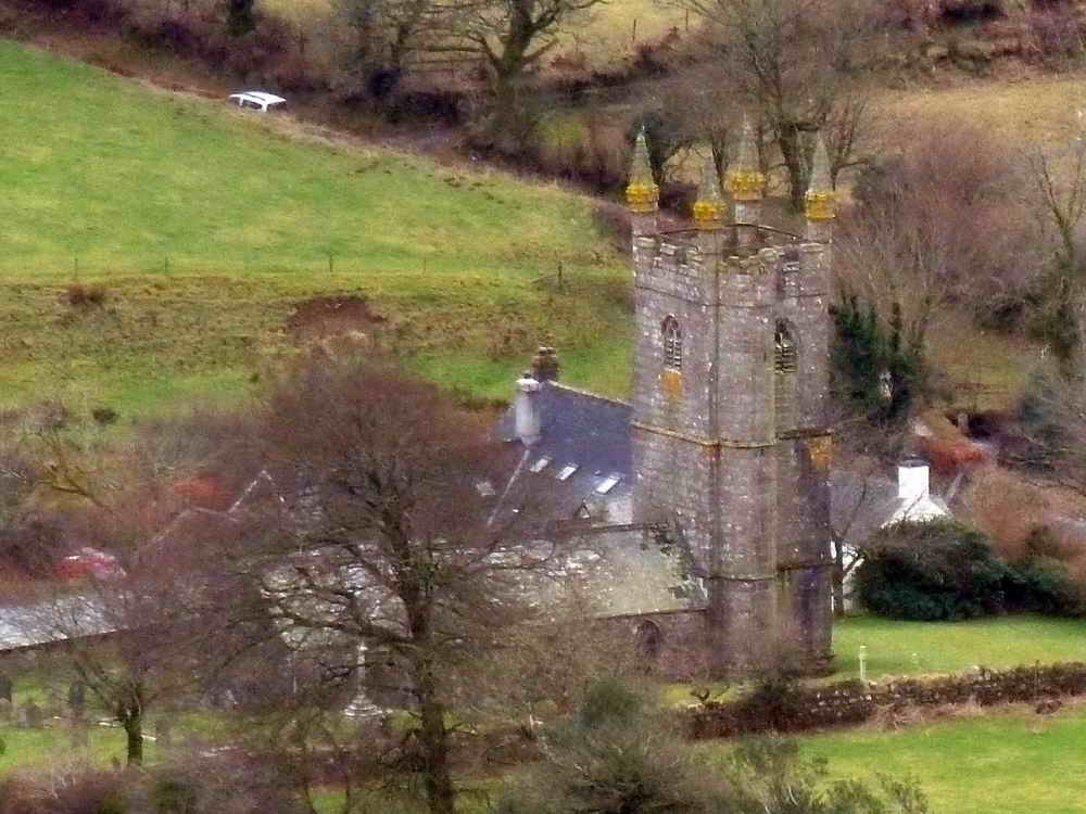
St. Leonard's Church, Sheepstor again.

Looking south-east to the Scout Hut, with Gutter Tor at right and Hen Tor beyond.

The four-fold stone circle on Yellowmead Down, visited on 30th Sept. 2009 and 1st October 2009. Also see .....
Legendary Dartmoor web page (complete with a site plan and the story of the 2008 excavation).

A hut circle, actually occupying most of the foreground!

Strollers passing a PCCW 1919 (Plymouth Corporation Water Works) boundary marker for the catchment area of Burrator reservoir.

PCWW 1919, rather illegible on this particular marker compared to some.
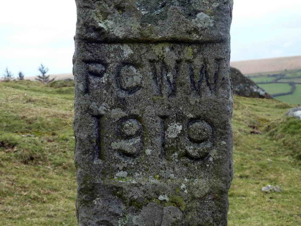
The same inscription from a marker on the other side of the tor, taken the following day.
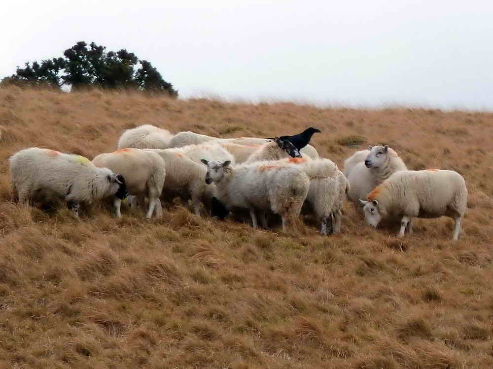
Carrion crow on the back of some sheep that had just been given feed (supplement?) of some sort by a farmer on a quad bike .....

As previous photo.

Someone thought this felled tree looked like a peacock - no wonder the chicken at home tastes woody!
MAP: Red = GPS satellite track of the walk.

Ordnance Survey © Crown copyright 2005. All rights reserved. Licence number
100047373.
Also, Copyright © 2005, Memory-Map Europe, with permission.
This walk was reached by driving through Dousland, turning right at the Burrator Inn towards Meavy, then left to Burrator Reservoir, continuing past the dam and around the top end of the reservoir to park at the Arboretum (indicated on the map by the yellow cross).
Statistics
Distance - 4.63 km / 2.9 miles
All photographs on this web site are copyright ©2007-2016 Keith Ryan.
All rights reserved - please email for permissions