![]()


This walk: 2012-12-19. River Plym, Blacka Brook, rabbit bury, rabbit warren, myxamatosis, Pests Act 1954, Trowlesworthy Warren Farm, cist, Bottle Hill Mine, clay works leat, rabbit bridges, Little Trowlesworthy Tor, crane base, "The Drum", pink granite, Devonport Column, longhouse, hut circle.
Walk details below - Information about the route etc.
Link to Google Satellite view of the area - the car park is on the left edge of the map (above the scale and "500 ft"), Spanish Lake is labelled near the right edge.
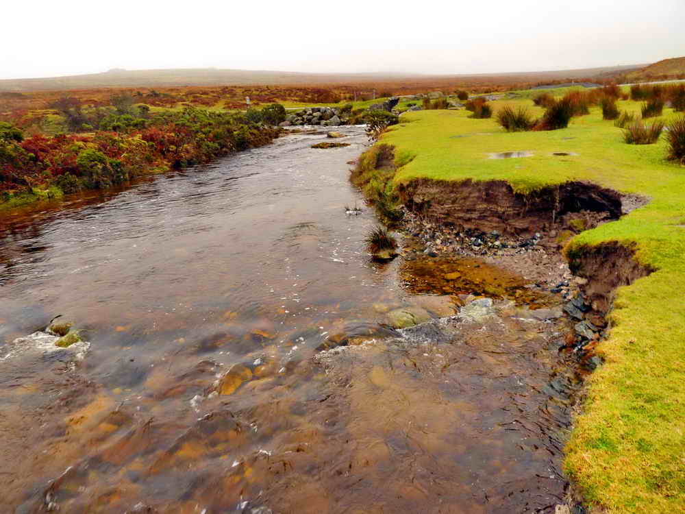
River Plym beside the car park, looking upstream, showing erosion of the bank .....

Looking downstream, where the river looks shallow enough to paddle across .....

Showing where the Blacka Brook flows into the Plym.

Looking along a rabbit 'bury' of the rabbit warren. This is near the track (seen in the background) to Trowlesworthy Farm. Buries (5 to 80 m long) housed the rabbits that the warreners bred for feeding the many tin miners that were working in the area.
This area is credited with being the first to be evidenced for warrening, from a 12th Century document. The practice ended in 1954 with myxamatosis and the Pests Act 1954 (which required the clearance of all rabbits).
The following is from a Natural England online document .....
1. Responsibilities of occupiers to control rabbits
Under Section 1 of the Pests Act 1954, the whole of England, apart from the City of London and Isles of Scilly, has been declared a rabbit clearance area. Under Section 1(2) of the 1954 Act, all occupiers of land in a rabbit clearance area have a continuing obligation to kill or take any wild rabbits living on, or resorting to, their land, unless they can establish that it is not reasonably practicable to do so. If it is not practicable to destroy the rabbits, occupiers have an obligation to prevent the rabbits from causing damage elsewhere by, for example, fencing them in with rabbit-proof fencing. The obligation to control rabbits is irrespective of the use being made of the occupier�s land or that of their neighbours.

Looking back at Trowlesworthy Warren Farm.
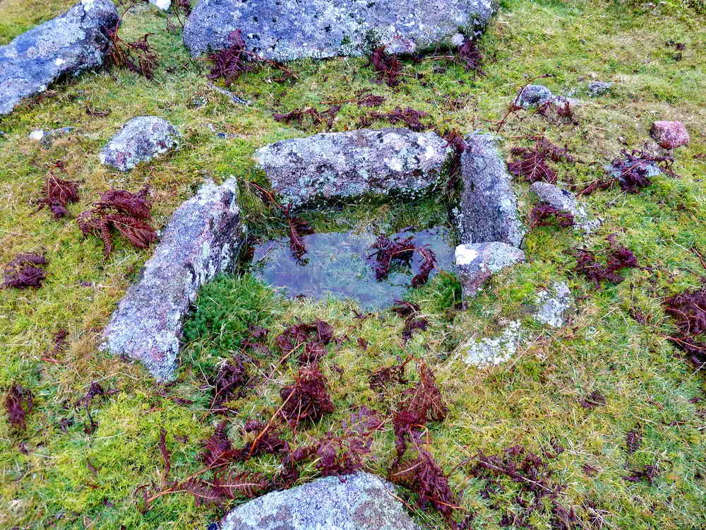
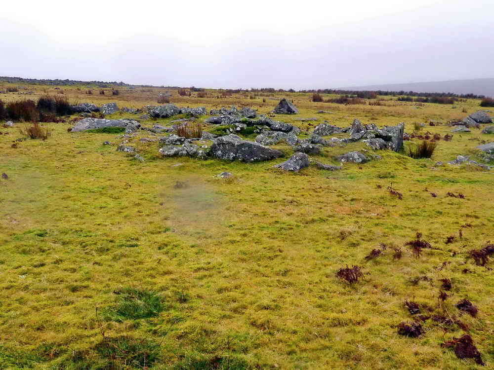
Cist at SX 57145 64751, described by J. Butler (1994), Dartmoor Atlas of Antiquities III, 51.1, pages 156-158: Trowlesworthy Tor enclosures and cairn .....

The cairn is surrounded by a retaining circle of blocks, rather than slabs, the cap stone is resting on a stone of the retaining ring .....
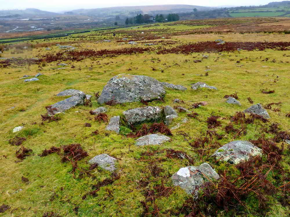
The cairn and cist with Trowlesworthy Warren Farm behind .....

Figure of the cairn, reproduced by kind permission of Jeremy Butler (ref. 29 Sept. 2012).

Zoomed view of Trowlesworthy Warren Farm.

A rabbit bridge over the Lee Moor clay works leat (formerly the Bottle Hill Mine leat, built 1809, improved 1825) from the River Plym now running to the Clay Works Big Pond. Photograph taken at SX 57193 64717, looking north .....

There are three rabbit bridges in this photograph, taken from the track bridge at SX 57209 64677, looking south.
The warrener and farmer (named Nicholas) brought a court action against Bottle Hill Mine for damages to the warren and its rabbits. �100 was paid and rabbit bridges were built.
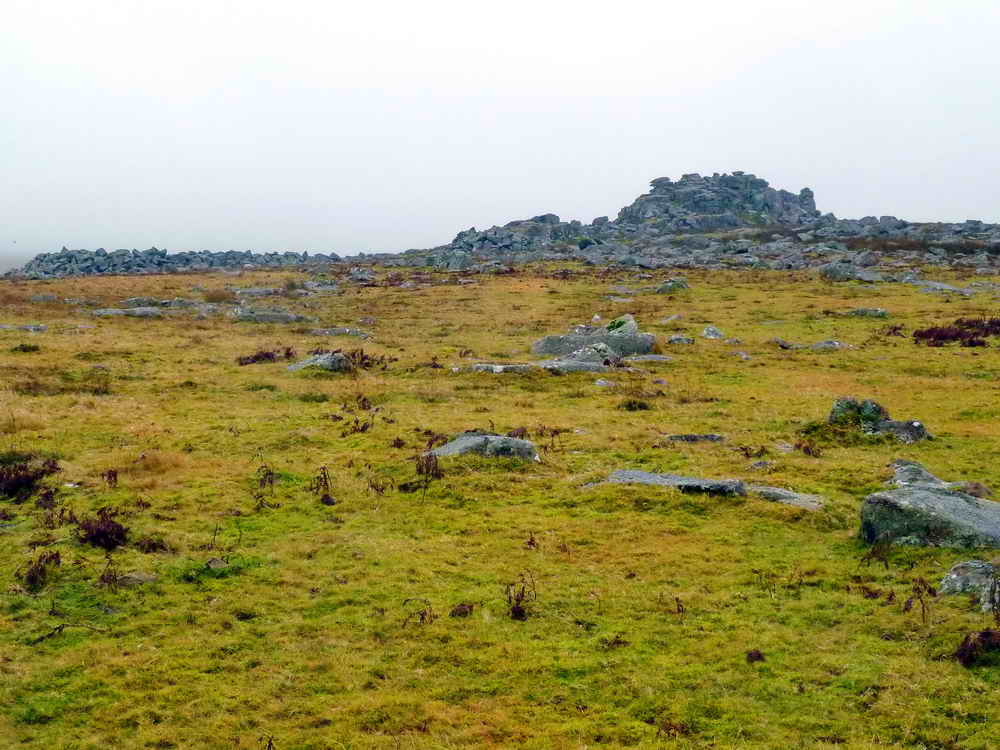
Looking south-east towards Little Trowlesworthy Tor, at SX 577 644, elevation 330 metres (1082 feet) .....

Crane base in the quarry at Little Trowlesworthy Tor, showing the hole in the stone that housed the derrick crane (example) .....

Another view .....

Looking back into the small quarry .....

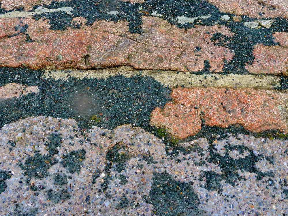
This area was famous for its pink granite. The colouration derives from it having alkali feldspar instead of plagioclase, pink normally derives from the presence of a small amount of iron in the mineral. This piece is usually known locally as "The Drum" and was produced as part of the Devonport Column to mark Devonport's new name in 1824 (it was previously known as "Dock" or "Plymouth Dock, having become a naval dockyard"). The column was to be 29 metres high, with a statue of King George IV atop, but the money ran out. Then, it was to be a flagpole and this stone was cut to be the base of the pole but, again, the money ran out. Some history of the column can be found here .....

A chip off the old block .....

Closer view .....
Closer again, for the pinkness.
A comparison photo - taken from
20 October 2010
.....

Smug - it was b difficult getting up there!

Medieval longhouse at SX 58250 64565, looking downhill. This entailed crossing Spanish Lake (a small brook). The house is known by Eric Hemery as Willing's House, being on the end of a wall known as Willings Wall, possibly a prehistoric reave. The reave runs north to Willings Wall Warren on Willings Hill. Some information from Eric Hemery (1983), High Dartmoor, Robert Hale, London, pages 203-204.

Another view of the longhouse, looking uphill.

A different view of Little Trowlesworthy Tor.
A large hut circle, taken from SX 57386 64561. There are a lot of hut circles / round houses in this area.

Looking down on the Blacka brook flowing into the River Plym.
Pink and, the more usually seen, grey granite in the bridge over the Blacka Brook .....

As previous photograph.
MAP: Red = GPS satellite track of the walk.

© Crown copyright and database rights 2012 Ordnance
Survey
Licence number 100047373
Also, Copyright © 2005, Memory-Map Europe, with permission.
This walk was reached by taking the side road just south of Cadover Bridge and driving beside the River Plym, upstream for 684 metres (425 yards)! - then taking a left turn back towards the river to two car parking areas, marked by the yellow cross on the map.
Statistics
Distance - 5.11 km / 3.18 miles.
All photographs on this web site are copyright ©Keith Ryan.
All rights reserved - please email for permissions