![]()


This walk: 2012-10-3. Holming Beam car park. Beardown Tors, DCP stone, Cowsic River, range clearer's lookout hut, firing range warning signs, fox moth caterpillar, flag staff, West Dart valley, Higher White Tor, Longaford Tor, Rough Tor, Crow Tor, range clearer's stable, Lydford Tor.
Walk details below - Information about the route etc.
Link to Google Satellite view of the area - the car park is just right of the scale bar (bottom left) and the outcrops of Beardown Tors are in the centre of the map.
Earlier walk in this area: 5 August 2009.
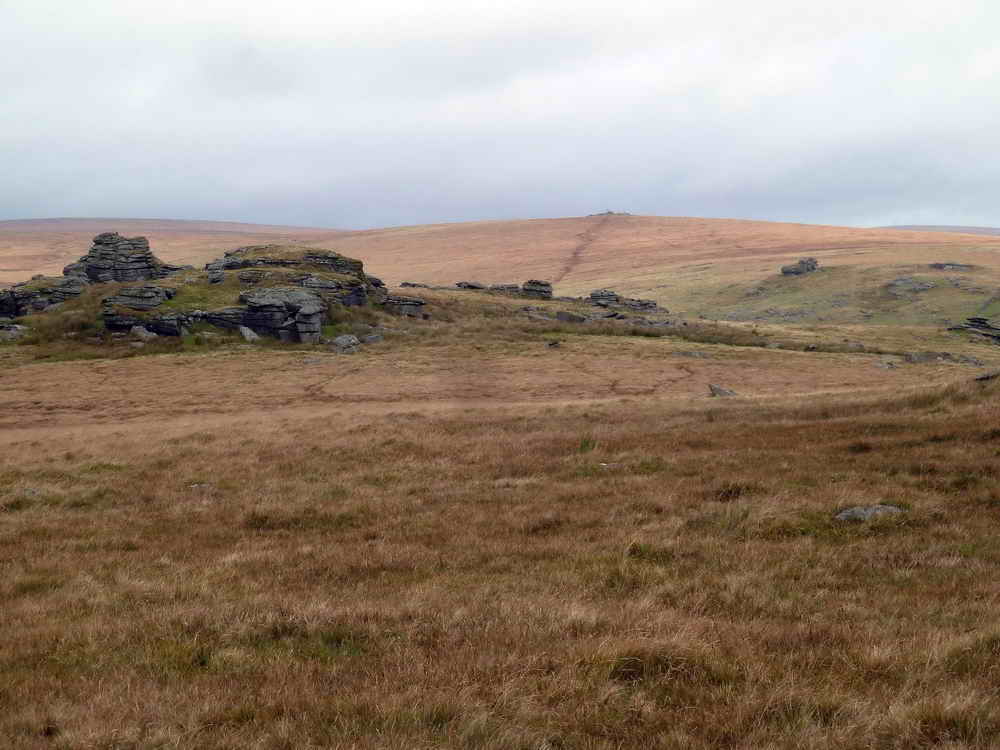
Looking from the Holming Beam car park across the Cowsic Valley to Beardown Tors.
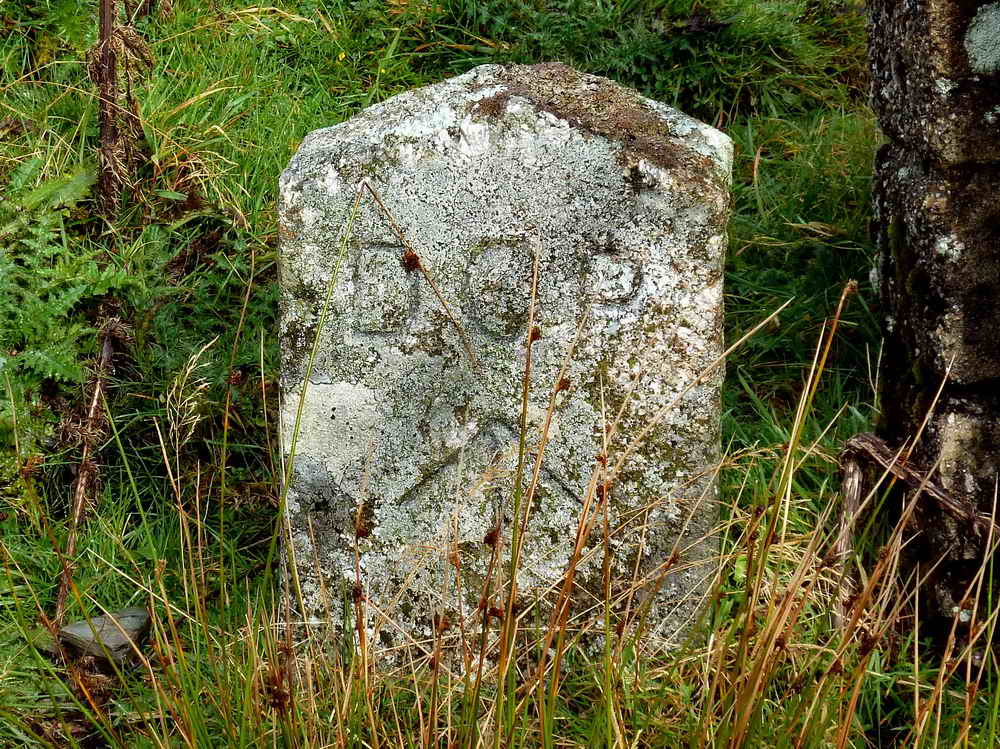
One of the many Directors of Convict Prisons stones marking the boundary of the prison: this one is at SX 59009 76890, along the left edge of the track walking out from the car park, inside a gate. Originally it had 390 acres originally granted but this was extended by 1,000 acres in 1867 when the whole area was marked by these boundary stones. Source: Dave Brewer, Dartmoor Boundary Markers, Halsgrove (2002), pp. 260-262. NB - This stone bears a benchmark, number 1534.8 on the 6-inch OS map 1888-1913 Series (the end of the plantation is further south than it was back then).
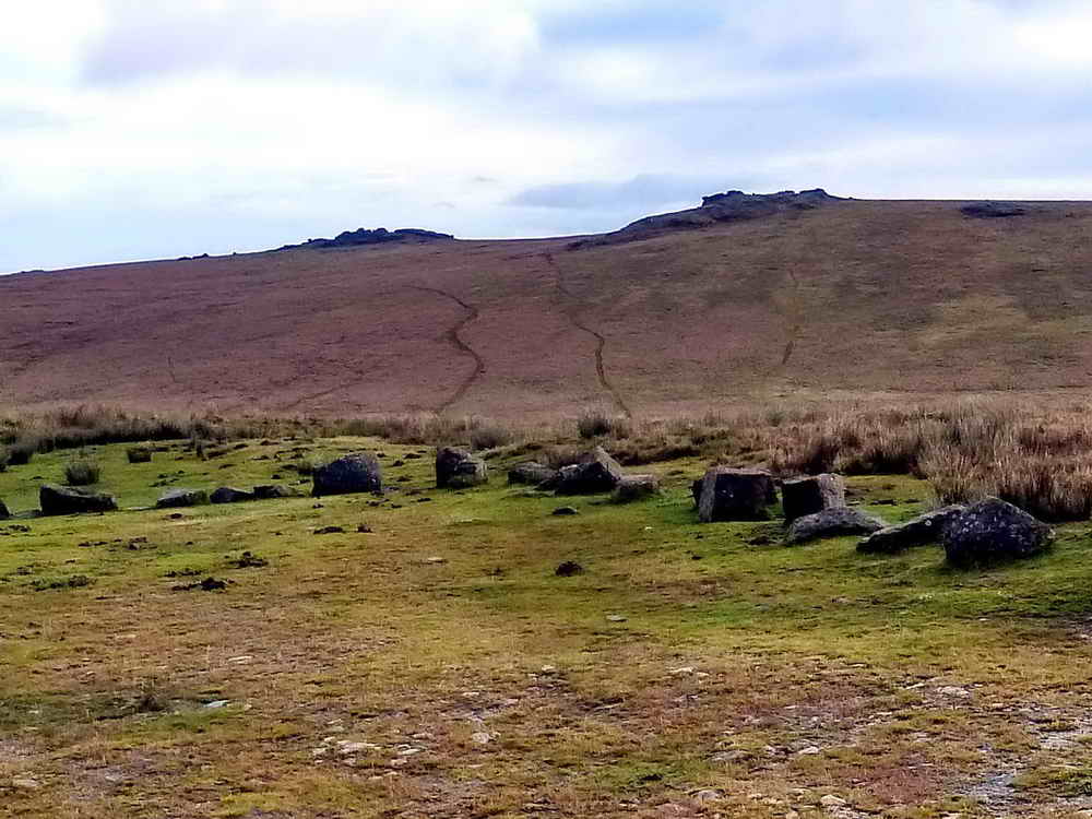
Looking from the car park across the Cowsic Valley to Beardown Tors, elevation 500 meters (1640 feet).

Looking down on the footbridge over the Cowsic River, at SX 5945 7709.
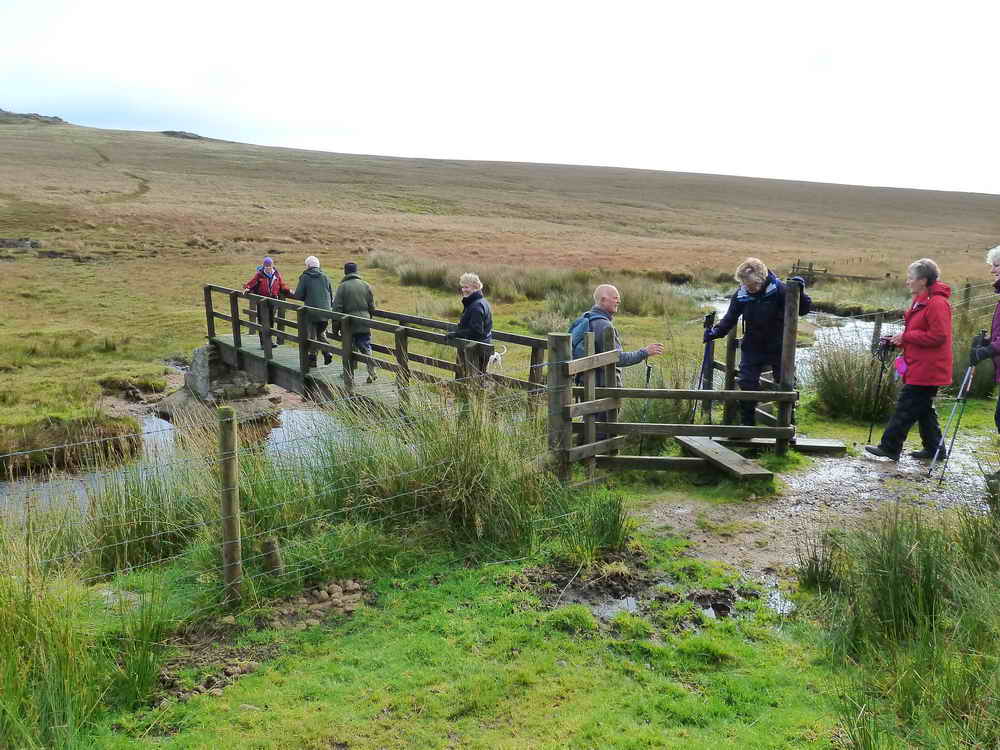
Crossing the Cowsic.

Beardown Tor outcrops from the bridge over the Cowsic.

Looking back at the bridge.

A bend in the river just before the bridge. For those planninng a walk this way, there is a useful small bridge near here at SX 59469 77134.
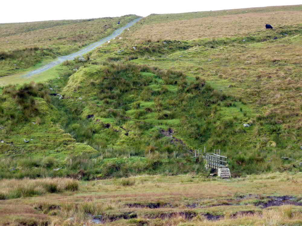
Looking back again at the bridge.

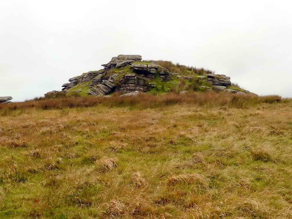
The main outcrop of Beardown Tors, with a range clearer's lookout hut on the left.
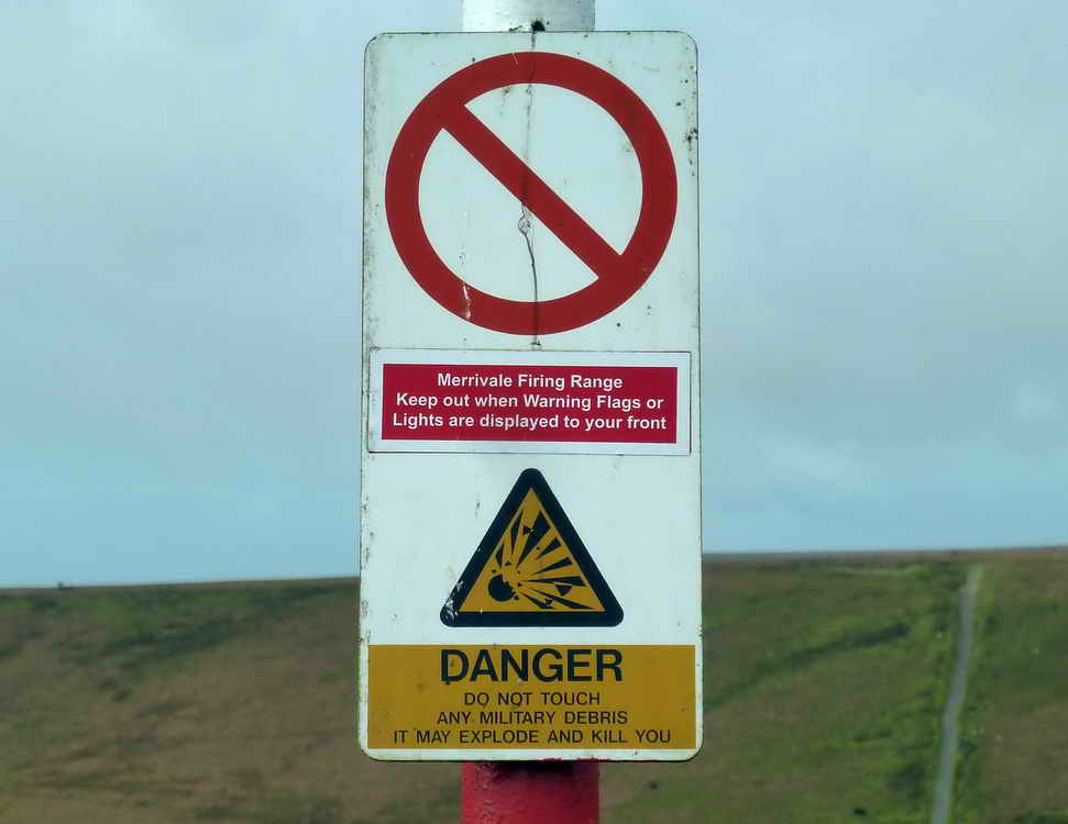
Sign on a nearby range post.

Fox Moth caterpillar (July-October), about 8 cm / 3 inches in length. Heather, bramble, and bilberry are among its food plants. It will be fully grown by the autumn. It will then hibernate, to emerge next spring without feeding, pupate in March/April and be on the wing in May. Click here for a photo of an adult.

Outcrops of Beardown Tors, with the flag staff on the right-hand pile.
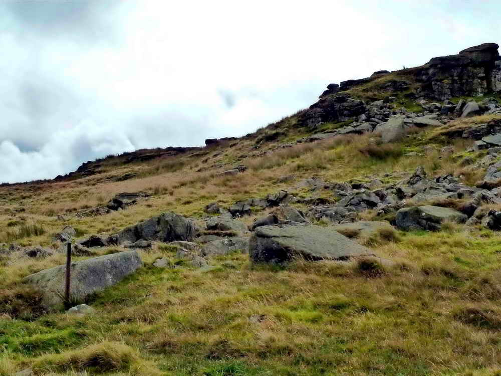
Approaching the western-most part of the Beardown Tors.

A small rock pile passed along the way.
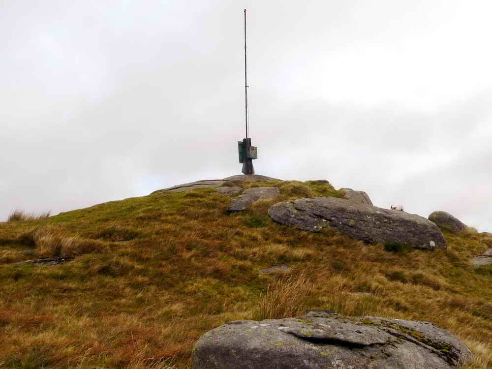
The flag-staff on the eastern-most pile of Beardown Tors.
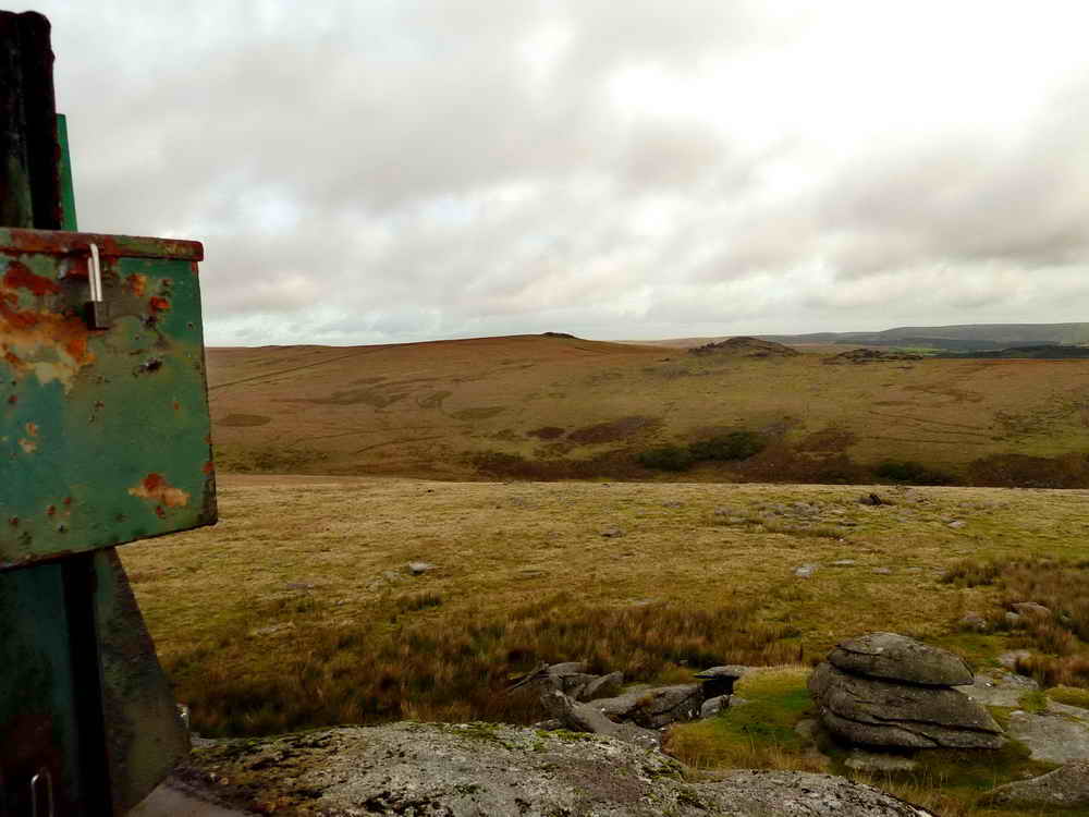
View from the flag-staff
Across the valley of the West Dart to Higher White Tor (left) 520 meters (1706 feet) with the piles of Longaford Tor, right 501 meters (16463 feet).

Another view from the flag-staff, looking down.

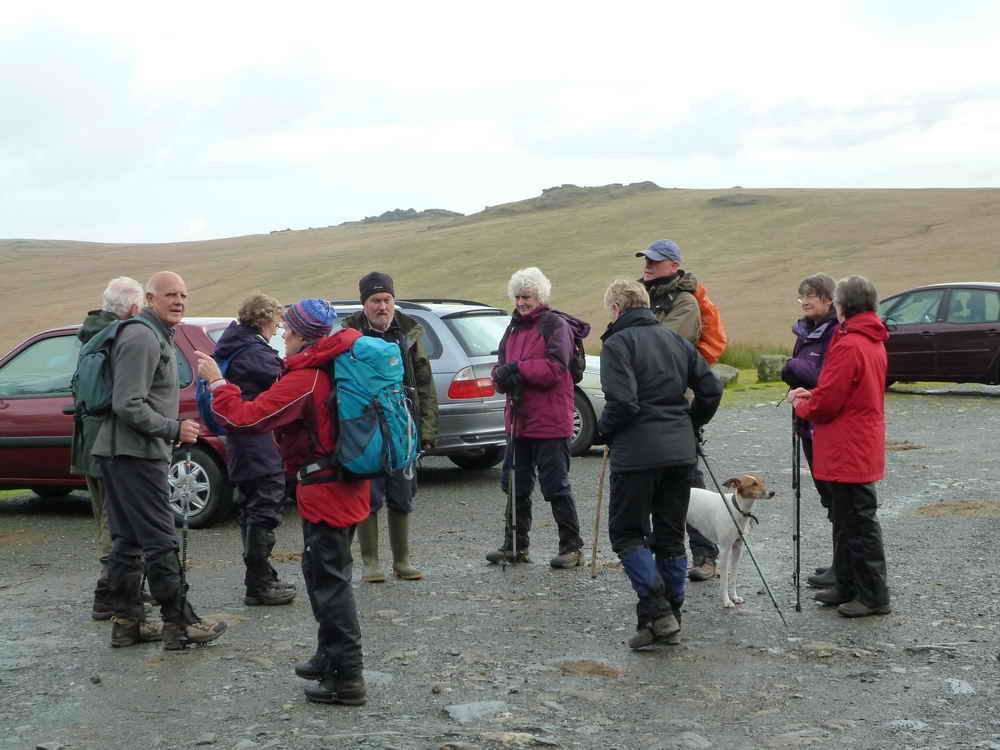
Happt Strollers!
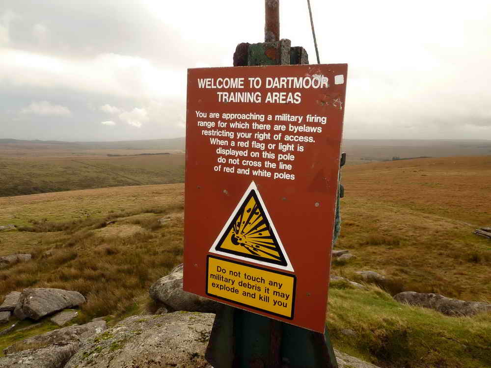
Flag-staff notice, not mincing words ..... "But we should be alright today" .....
|
|

The northern outcrop of Beardown Tors.
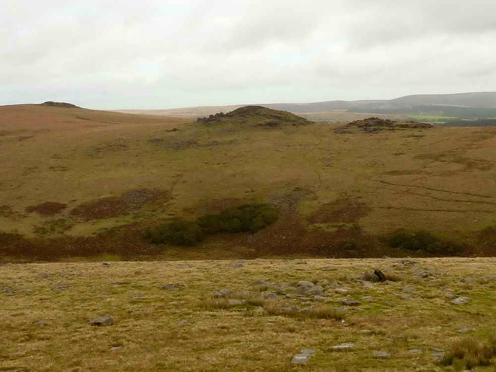
Northern outcrop of Beardown Tor (left) with a view to Rough Tor (centre), elevation 547 meters (1794 feet) with Crow Tor (right), elevation approx. 488 meters (1601 feet).
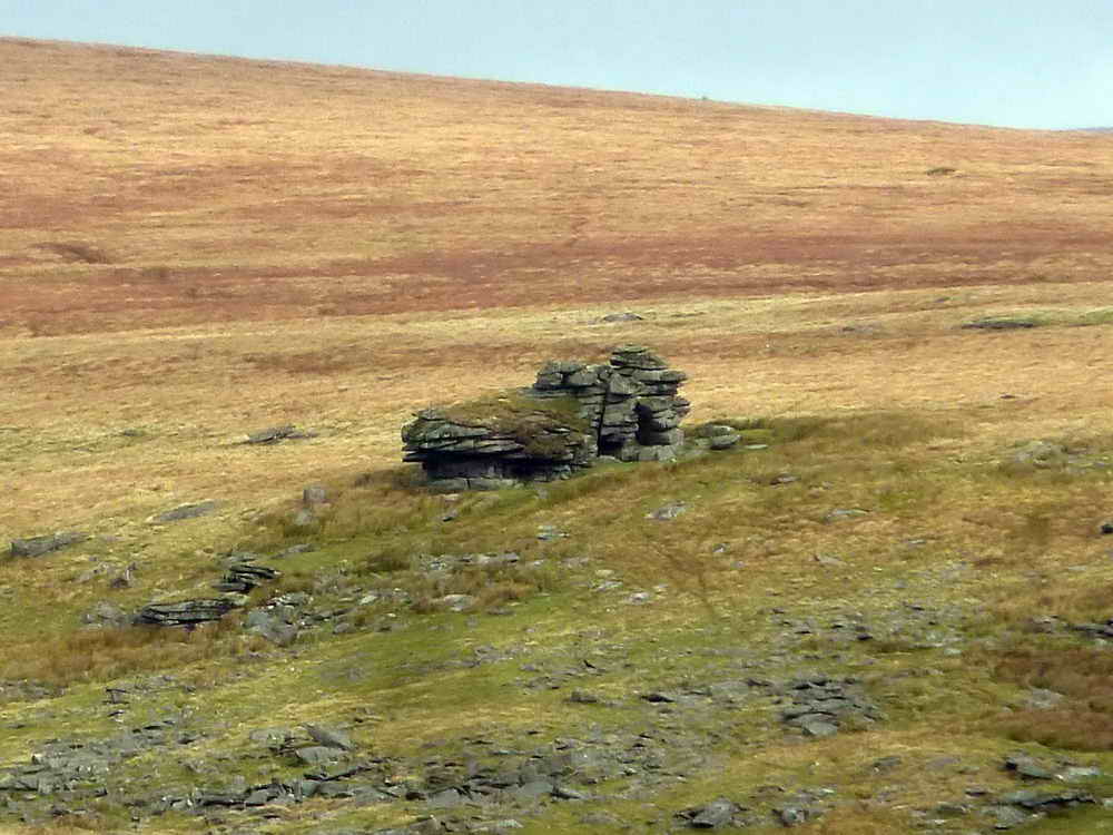
Zoomed view to Crow Tor.

The range clearer's stable near the northern outcrop of Beardown Tors .....

The north-facing aspect of the tor .....
The tethering post for range clearers' ponies for when they are not put in the stable .....

The range clearer's look-out post.

Lydford Tor, elevation approx. 503 meters (1650 feet).
MAP: Red = GPS satellite track of the walk.

© Crown copyright and database rights 2012 Ordnance
Survey
Licence number 100047373
Also, Copyright © 2005, Memory-Map Europe, with permission.
This walk was reached via the B3357; this is followed from Two Bridges towards Tavistock for a kilometre, as far as the right-turn beside the Long Plantation. Parking was at the yellow cross symbol on the map.
Statistics
Distance - 5.07 km / 3.15 miles
All photographs on this web site are copyright ©2007-2016 Keith Ryan.
All rights reserved - please email for permissions