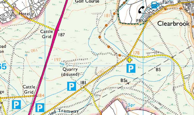
Car park
Clearbrook
Map reference:
SX 518 650
Nearby post code:
PL20 6JD (for
The Skylark Inn)
Lat / Long - used by some car sat navs:
50� 28' 00"
N, 4� 5' 19" W
Link to Google Satellite map
- the car park is in the centre of the image, by
the road junction down the straight piece of road at 7 o'clock
from The Skylark Inn.
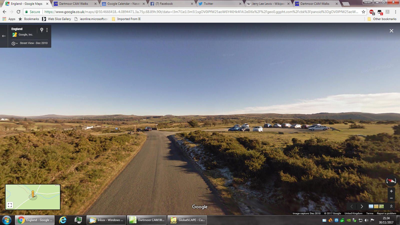
Link to Google Street View
- it is too long to embed in any text, it also
doesn't work for me by clicking on it -
it works for me by
highlighting it with the mouse, copying it (CTRL+C) and pasting it
into the browser (CTRL+V)
The view
is looking towards Clearbrook (the white houses down on the left).
The car park is on the RIGHT just before a small bridge that goes
over Drake's Leat (aka Plymouth Leat). The road junction is just
over the bridge.
OK - here is a screen dump .....

The car park is indicated by the yellow cross.


