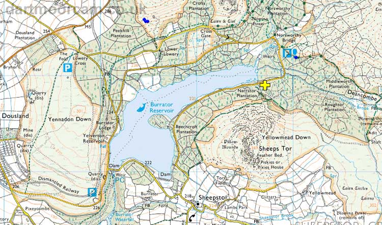
Lat / Long - used by some car sat navs: 50� 30' 10" N, 4� 1' 11" W
what3words - "union.proved.pack"
From Dousland, at the crossroads beside Burrator Inn, drive south towards Meavy, turn left immediately after the 30 mph sign, over a cattle grid, follow the road to the dam, drive straight ahead and pass the dam (don't go over it), follow the road for miles until you cross a small bridge (Norsworthy Bridge), pass by the two parking areas, drive around another two bends and see the car park on the LEFT.
You can drag the "little man" icon at bottom right onto the road and obtain the Street View: that you can click ahead on to drive ahead, "drag" the scene left or right to turn about, click ahead again to drive back along the route You can also zoom in or out with the mouse thumbwheel - I'm not sure about other devices.
Street View of the approach to the car park

� Crown copyright 2016 Ordnance
Survey
Licence number 100047373
Also, Copyright � 2005, Memory-Map Europe, with permission.